Plymouth is a borough in Luzerne County, Pennsylvania, United States. It is located 4 miles (6 km) west of Wilkes-Barre, along the Susquehanna River. The population was 5,763 as of the 2020 census.
| Name: | Plymouth borough |
|---|---|
| LSAD Code: | 21 |
| LSAD Description: | borough (suffix) |
| State: | Pennsylvania |
| County: | Luzerne County |
| Incorporated: | 1866 |
| Total Area: | 1.17 sq mi (3.03 km²) |
| Land Area: | 1.07 sq mi (2.78 km²) |
| Water Area: | 0.10 sq mi (0.25 km²) |
| Total Population: | 5,763 |
| Population Density: | 5,370.92/sq mi (2,073.51/km²) |
| Area code: | 570 |
| FIPS code: | 4261648 |
| Website: | www.plymouthborough.org |
Online Interactive Map
Click on ![]() to view map in "full screen" mode.
to view map in "full screen" mode.
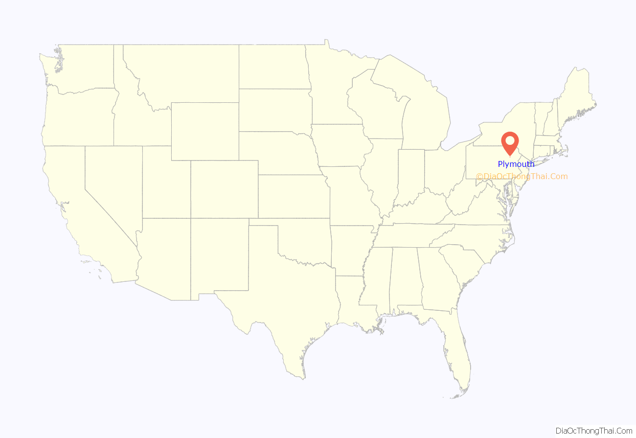
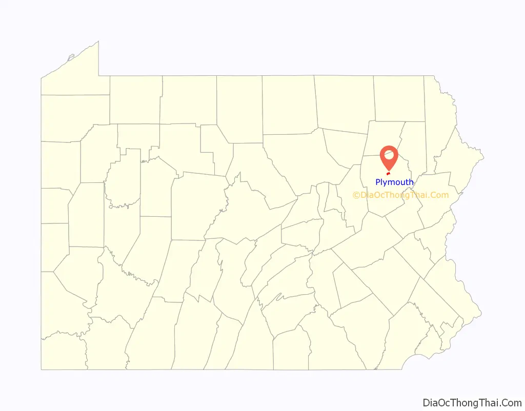
Plymouth location map. Where is Plymouth borough?
History
Plymouth was first settled in 1769 by the Susquehanna Company of Connecticut, and until its incorporation as a borough in 1866, was part of Plymouth Township. The Pennamite-Yankee Wars were fought in the surrounding area. The town is situated in the once rich anthracite coal fields of eastern Pennsylvania. Coal was first shipped in 1807. In the past, the products of its manufacturing establishments included miners’ drilling machines and squibs, silk hosiery, and lumber products. Its population peaked in 1910 at 16,996.
Architecture
At the beginning of the 19th century, Plymouth’s primary industry was agriculture, and many of its residents were the descendants of the Connecticut Yankees who first settled the town. Its early architecture resembled that of a small New England village.
Large quantities of anthracite coal lay below the surface at various depths, and by the 1850s, coal mining had become the town’s primary occupation, attracting a more diverse population. After the arrival of the railroad in 1857, the town’s architecture became more typical of a growing industrial center.
Soldiers and Sailors Monument (dedicated 1920)
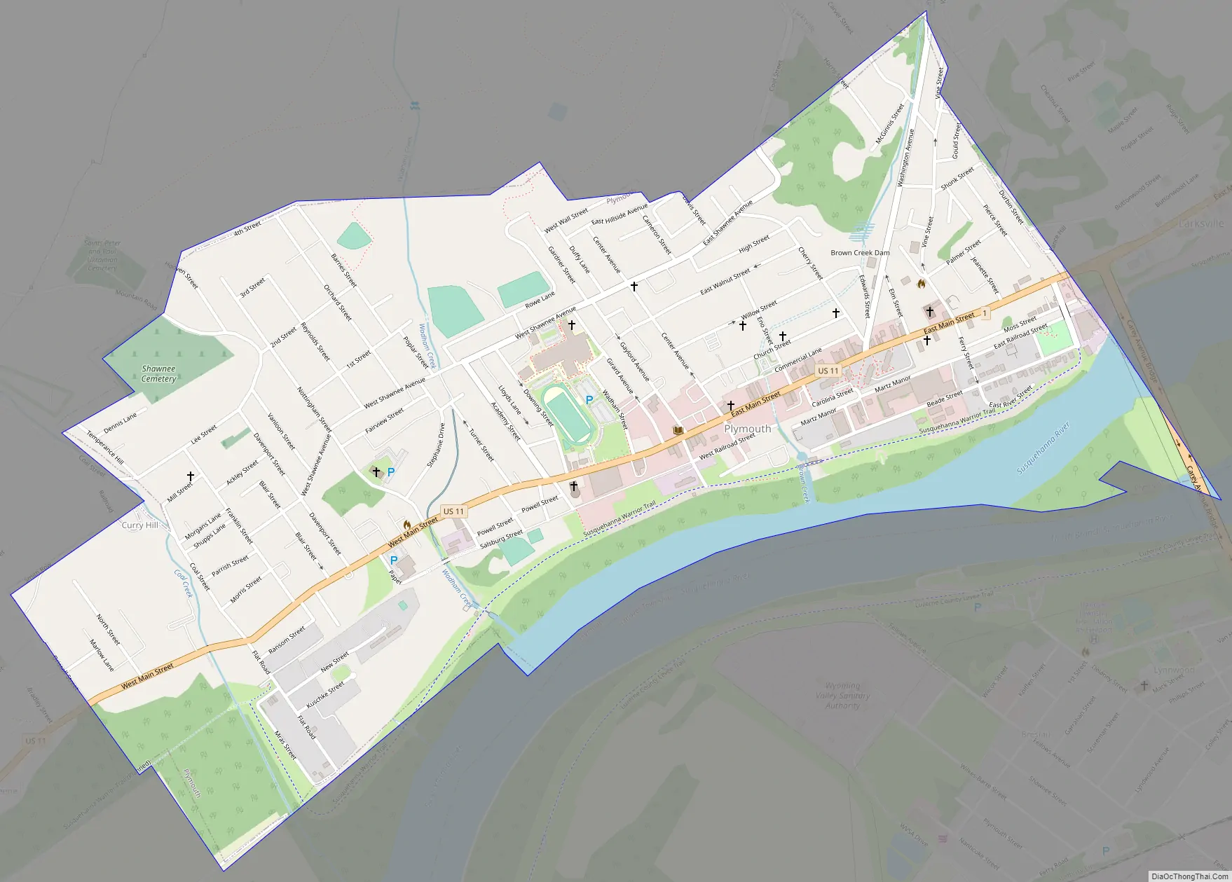
Plymouth Road Map
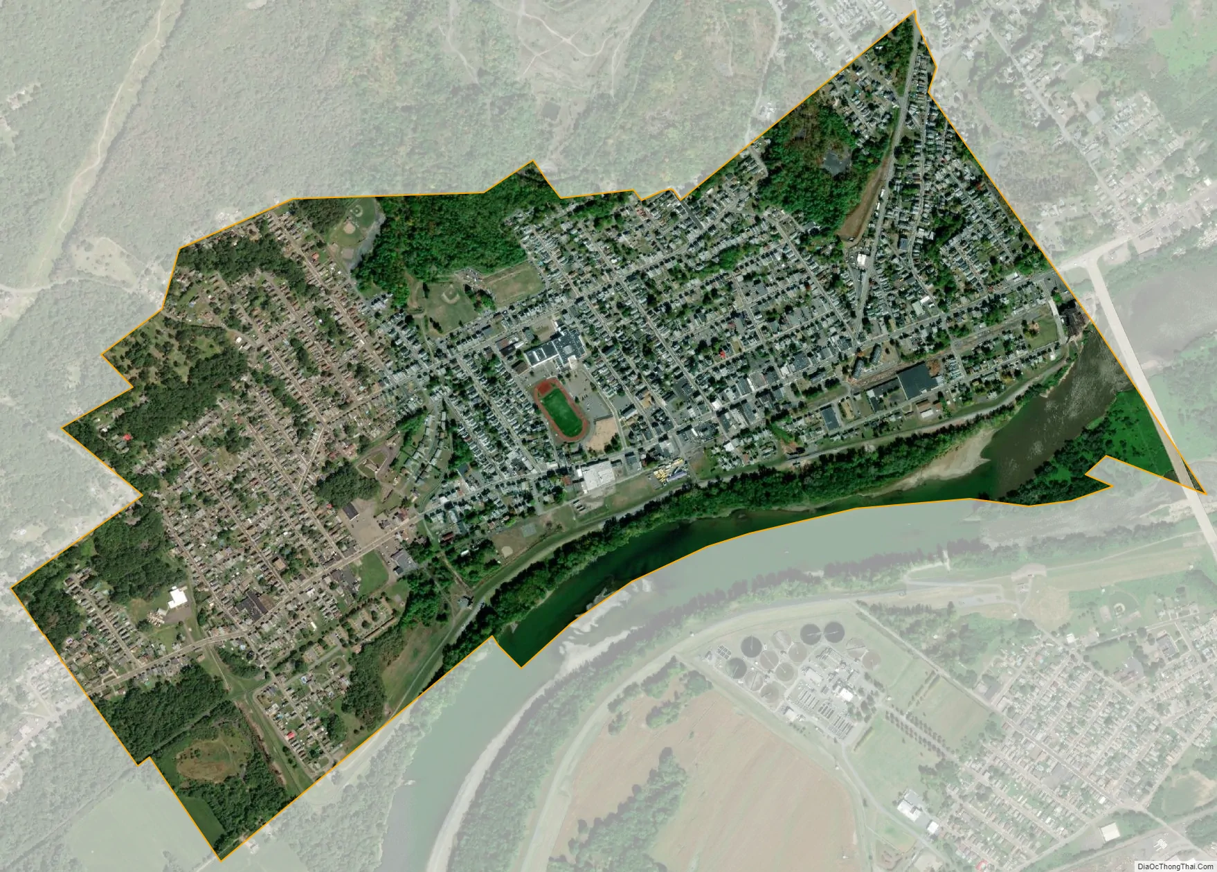
Plymouth city Satellite Map
Geography
According to the United States Census Bureau, the borough has a total area of 1.2 square miles (3.1 km), of which 1.1 square miles (2.8 km) is land and 0.08 square miles (0.2 km), or 7.31%, is water.
See also
Map of Pennsylvania State and its subdivision:- Adams
- Allegheny
- Armstrong
- Beaver
- Bedford
- Berks
- Blair
- Bradford
- Bucks
- Butler
- Cambria
- Cameron
- Carbon
- Centre
- Chester
- Clarion
- Clearfield
- Clinton
- Columbia
- Crawford
- Cumberland
- Dauphin
- Delaware
- Elk
- Erie
- Fayette
- Forest
- Franklin
- Fulton
- Greene
- Huntingdon
- Indiana
- Jefferson
- Juniata
- Lackawanna
- Lancaster
- Lawrence
- Lebanon
- Lehigh
- Luzerne
- Lycoming
- Mc Kean
- Mercer
- Mifflin
- Monroe
- Montgomery
- Montour
- Northampton
- Northumberland
- Perry
- Philadelphia
- Pike
- Potter
- Schuylkill
- Snyder
- Somerset
- Sullivan
- Susquehanna
- Tioga
- Union
- Venango
- Warren
- Washington
- Wayne
- Westmoreland
- Wyoming
- York
- Alabama
- Alaska
- Arizona
- Arkansas
- California
- Colorado
- Connecticut
- Delaware
- District of Columbia
- Florida
- Georgia
- Hawaii
- Idaho
- Illinois
- Indiana
- Iowa
- Kansas
- Kentucky
- Louisiana
- Maine
- Maryland
- Massachusetts
- Michigan
- Minnesota
- Mississippi
- Missouri
- Montana
- Nebraska
- Nevada
- New Hampshire
- New Jersey
- New Mexico
- New York
- North Carolina
- North Dakota
- Ohio
- Oklahoma
- Oregon
- Pennsylvania
- Rhode Island
- South Carolina
- South Dakota
- Tennessee
- Texas
- Utah
- Vermont
- Virginia
- Washington
- West Virginia
- Wisconsin
- Wyoming


