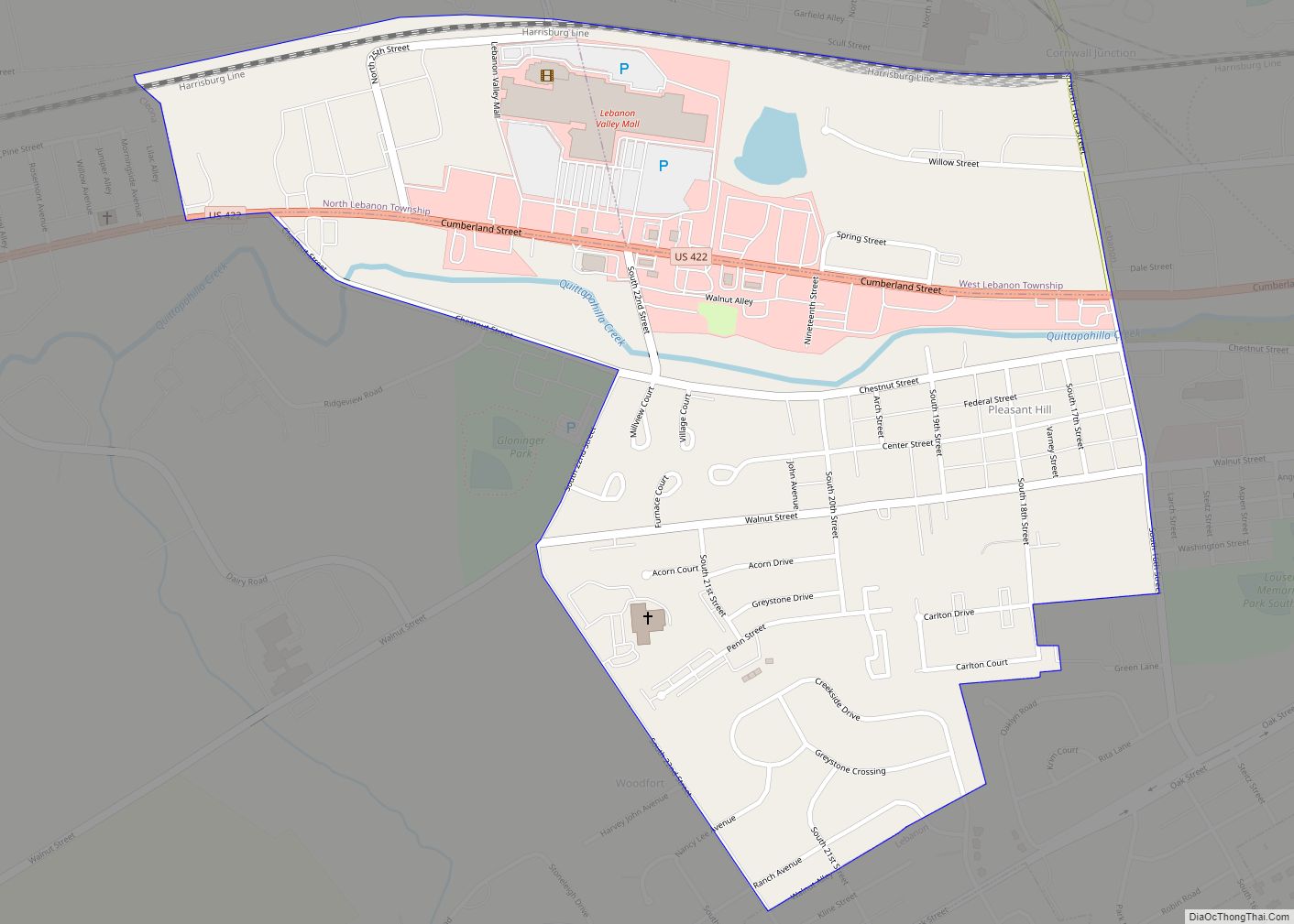
Pleasant Hill is an unincorporated community and census-designated place (CDP) in Lebanon County, Pennsylvania, United States. The population was 2,643 at the 2010 census, up from 2,301 at the 2000 census. Pleasant Hill CDP overview: Name: Pleasant Hill CDP LSAD Code: 57 LSAD Description: CDP (suffix) State: Pennsylvania County: Lebanon County Elevation: 558 ft (170 m) Total ... Read more
Pennsylvania Cities and Places
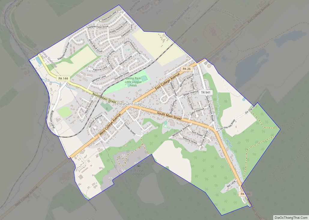
Pleasant Gap is an unincorporated community and census-designated place (CDP) in Centre County, Pennsylvania, United States. It is part of the State College, Pennsylvania Metropolitan Statistical Area. The population was 2,879 at the 2010 census. Pleasant Gap CDP overview: Name: Pleasant Gap CDP LSAD Code: 57 LSAD Description: CDP (suffix) State: Pennsylvania County: Centre County ... Read more
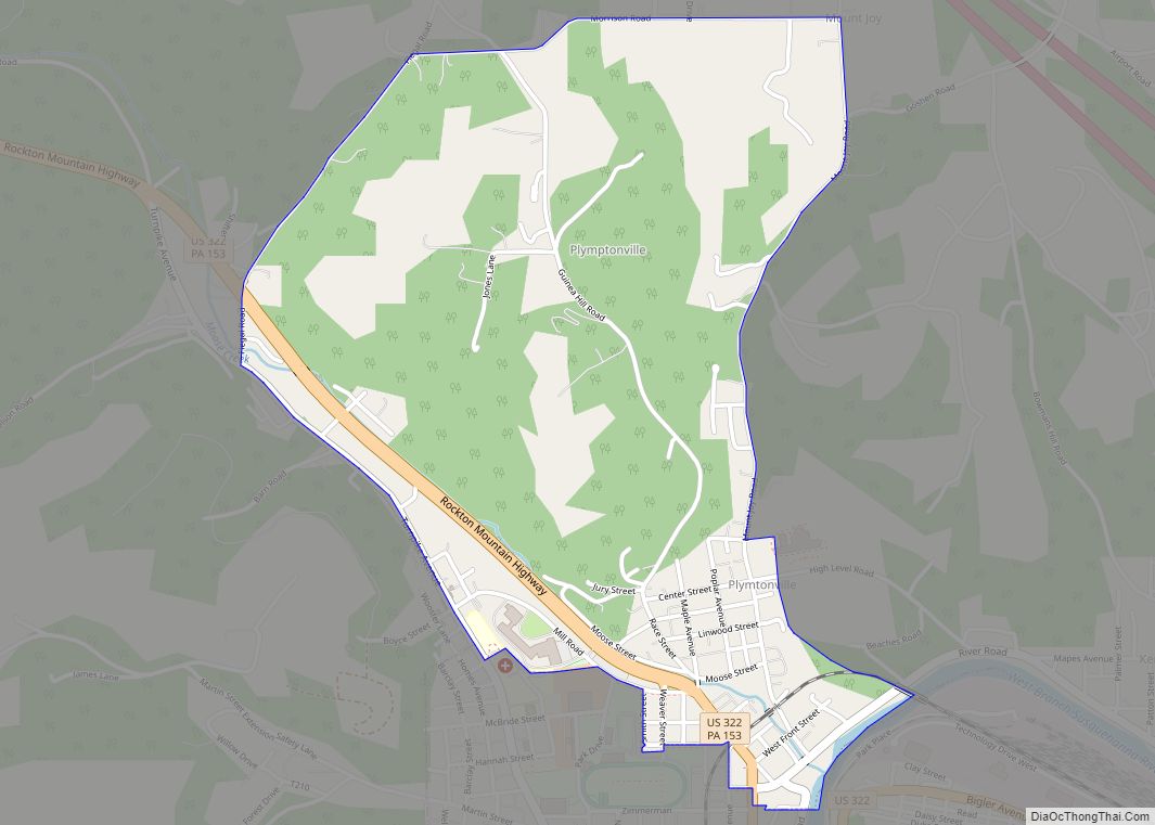
Plymptonville is a census-designated place (CDP) in Clearfield County, Pennsylvania, United States. The population was 972 at the 2020 census. Plymptonville CDP overview: Name: Plymptonville CDP LSAD Code: 57 LSAD Description: CDP (suffix) State: Pennsylvania County: Clearfield County Elevation: 1,150 ft (350 m) Total Area: 1.30 sq mi (3.38 km²) Land Area: 1.30 sq mi (3.36 km²) Water Area: 0.01 sq mi (0.01 km²) Total Population: ... Read more
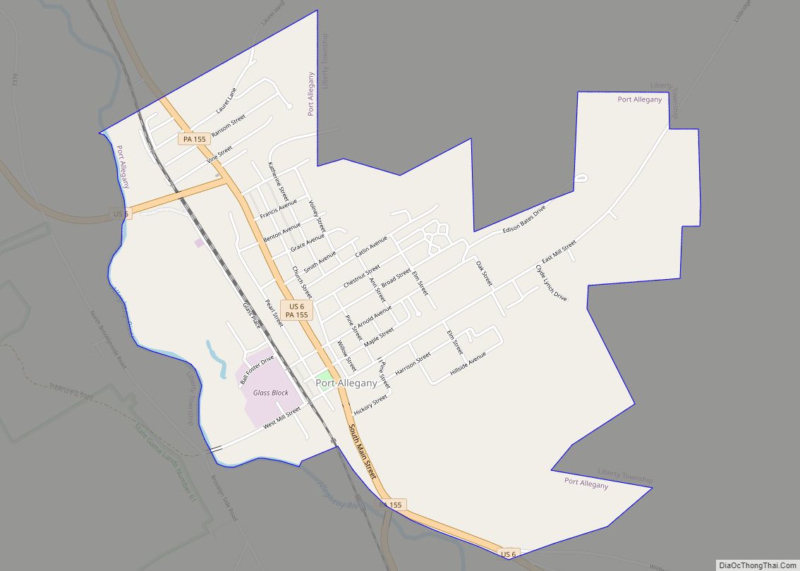
Port Allegany is a borough in McKean County, Pennsylvania, United States. The population was 2,116 at the 2020 census. The town’s tree-lined streets lie in the foothills of the Appalachian Mountains, 30 miles west of the Allegheny River’s headwaters. Port Allegany borough overview: Name: Port Allegany borough LSAD Code: 21 LSAD Description: borough (suffix) State: ... Read more
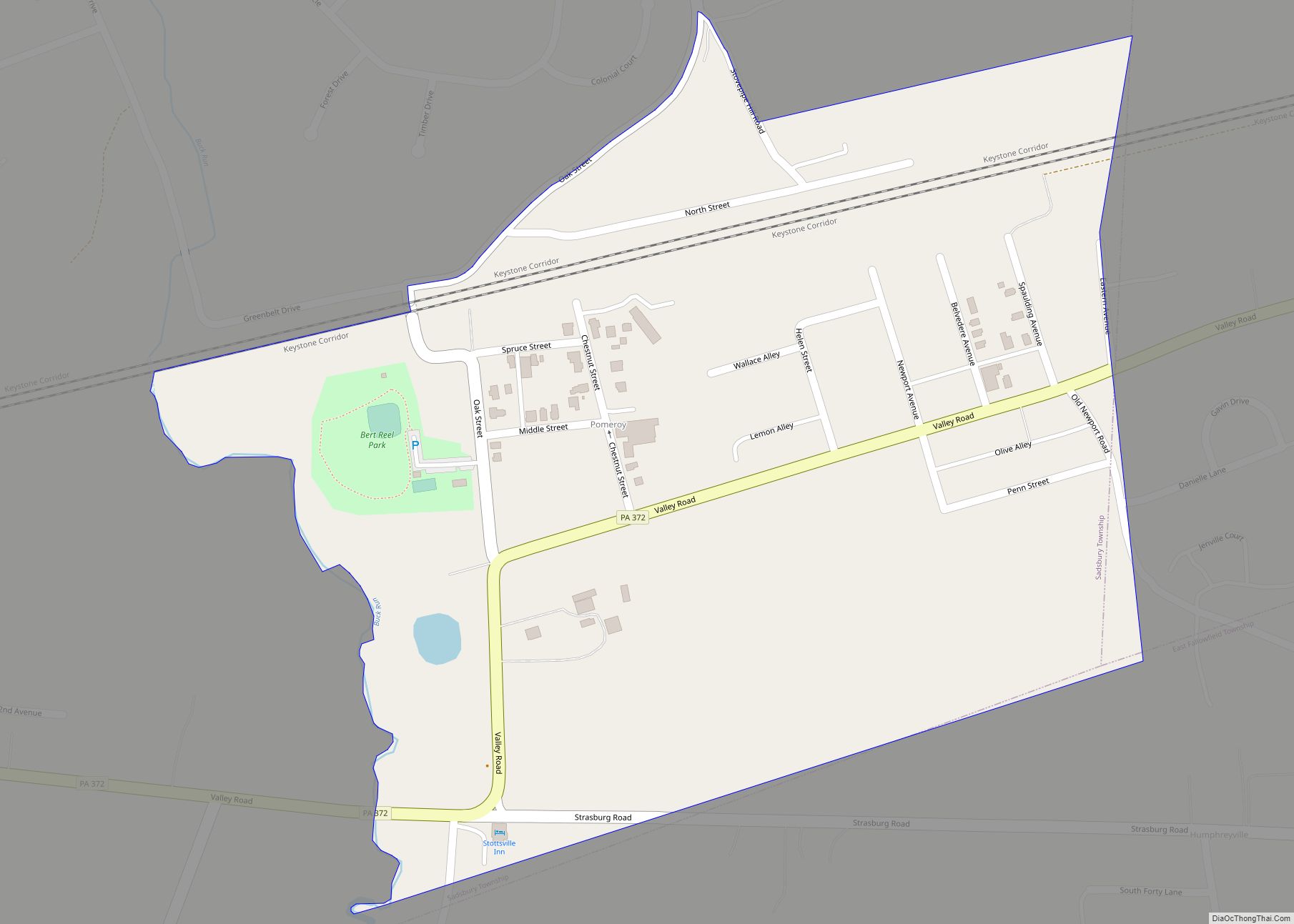
Pomeroy is a census-designated place (CDP) in Sadsbury Township, Chester County, Pennsylvania, United States. The population was 401 at the 2010 census. It was once the northern terminus of the Pomeroy and Newark Railroad. Pomeroy CDP overview: Name: Pomeroy CDP LSAD Code: 57 LSAD Description: CDP (suffix) State: Pennsylvania County: Chester County Elevation: 484 ft (148 m) ... Read more
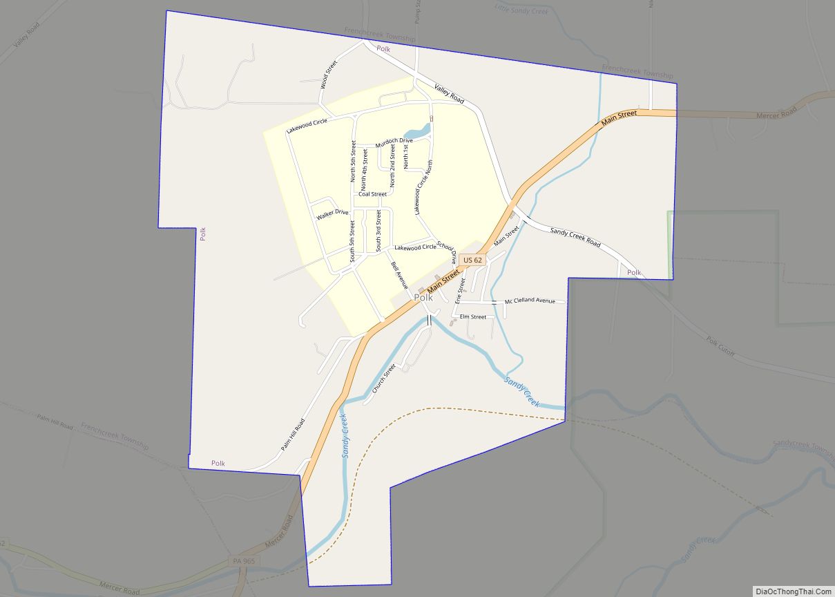
Polk is a borough in Venango County, Pennsylvania, United States. The population was 703 at the 2020 census. Polk State Center, a state-run facility for the intellectually disabled, was opened in 1897 and is located in the borough. In 2019, Pennsylvania announced a plan to close the facility. Families and residents sued Pennsylvania in an ... Read more
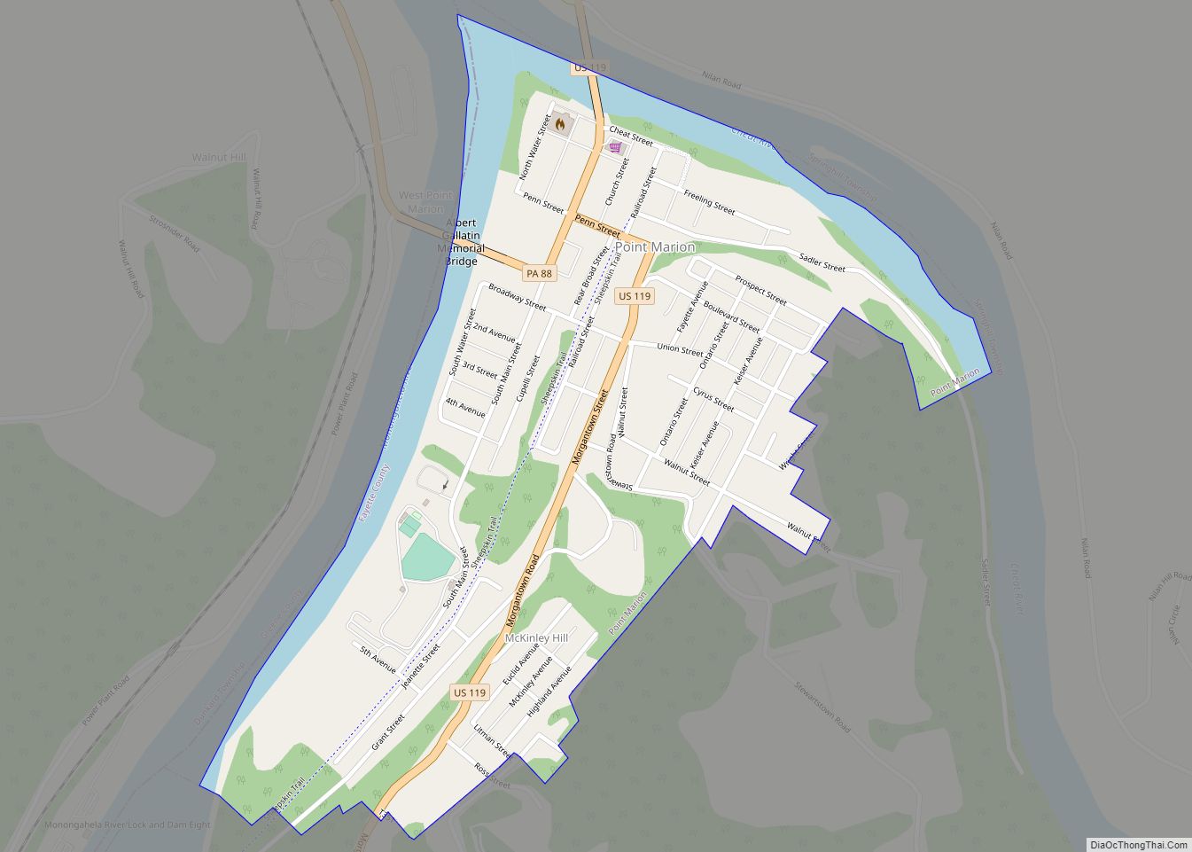
Point Marion is a borough in Fayette County, Pennsylvania, United States. The population was 1,152 at the 2020 census, a decline from the figure of 1,159 tabulated in 2010. It is served by the Albert Gallatin Area School District. Point Marion borough overview: Name: Point Marion borough LSAD Code: 21 LSAD Description: borough (suffix) State: ... Read more
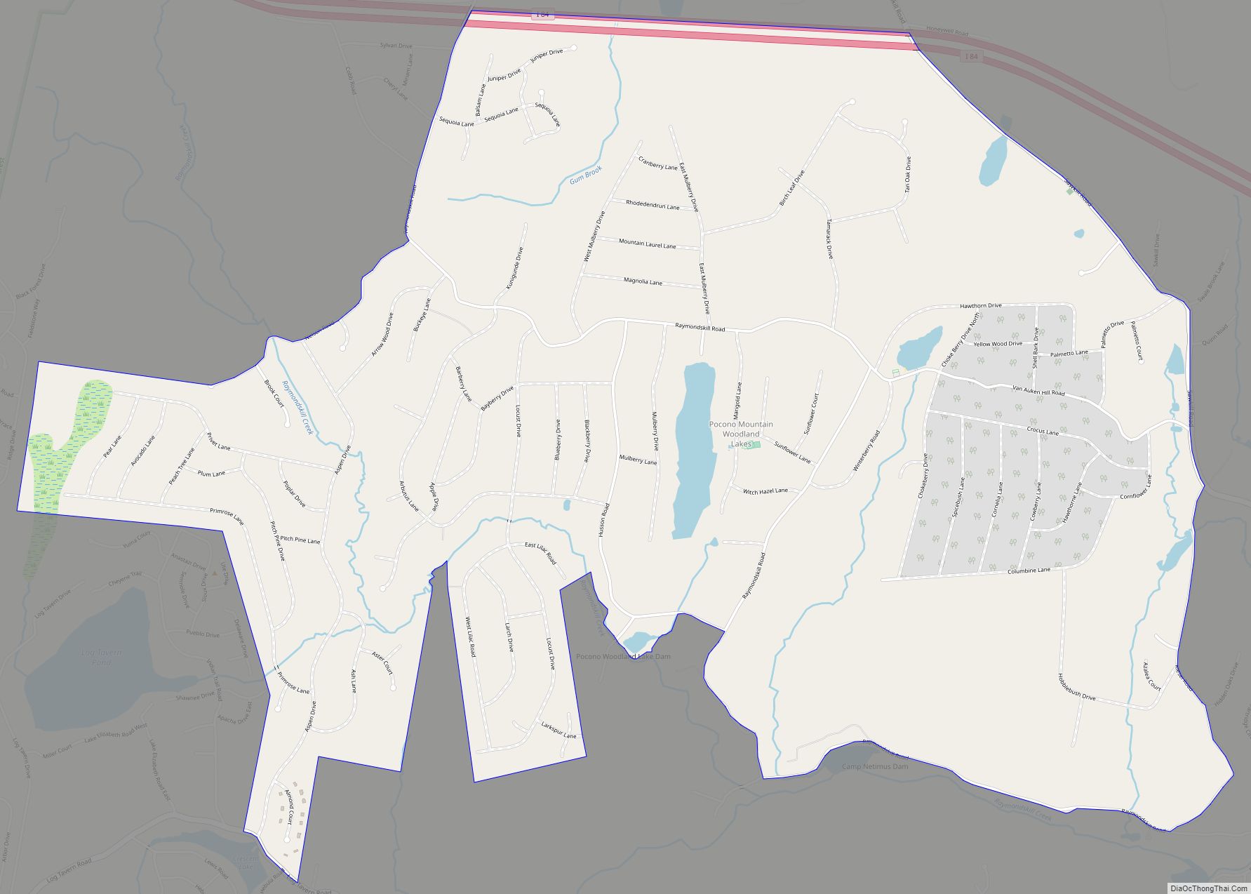
Pocono Woodland Lakes is a census-designated place located in Dingman Township, Pike County in the state of Pennsylvania. The community is located between Interstate 84 and Pennsylvania Route 739, and is to the east of and shares a western border with another CDP community, Gold Key Lake. As of the 2010 census the population was ... Read more
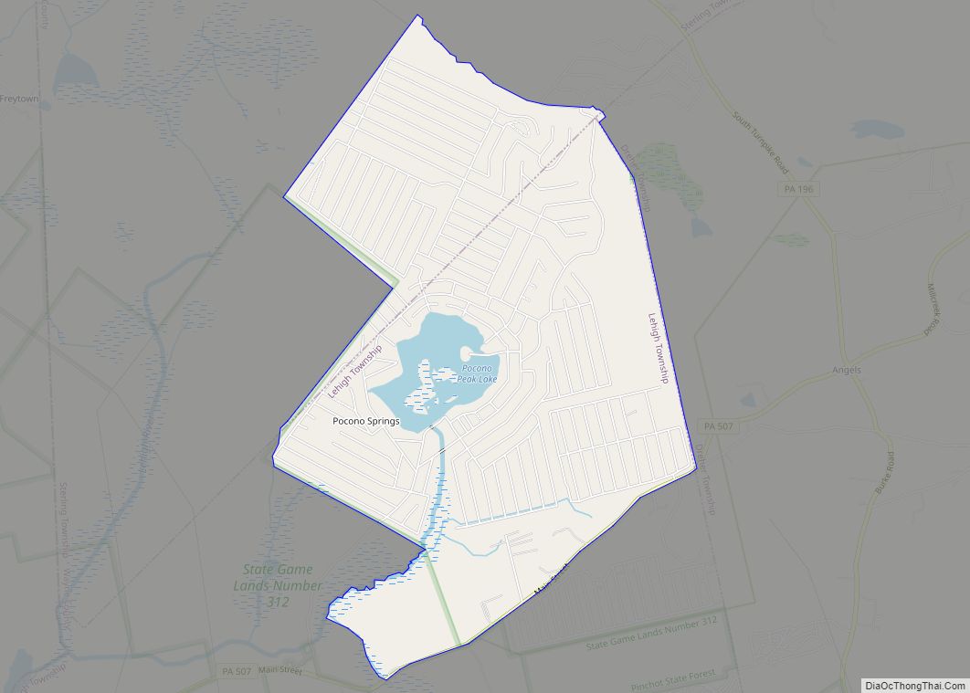
Pocono Springs is a private community and census-designated place (CDP) in Lehigh and Sterling Townships in Wayne County, Pennsylvania, United States. The CDP’s population was 926 at the time of the 2010 United States Census. Pocono Springs CDP overview: Name: Pocono Springs CDP LSAD Code: 57 LSAD Description: CDP (suffix) State: Pennsylvania County: Wayne County ... Read more
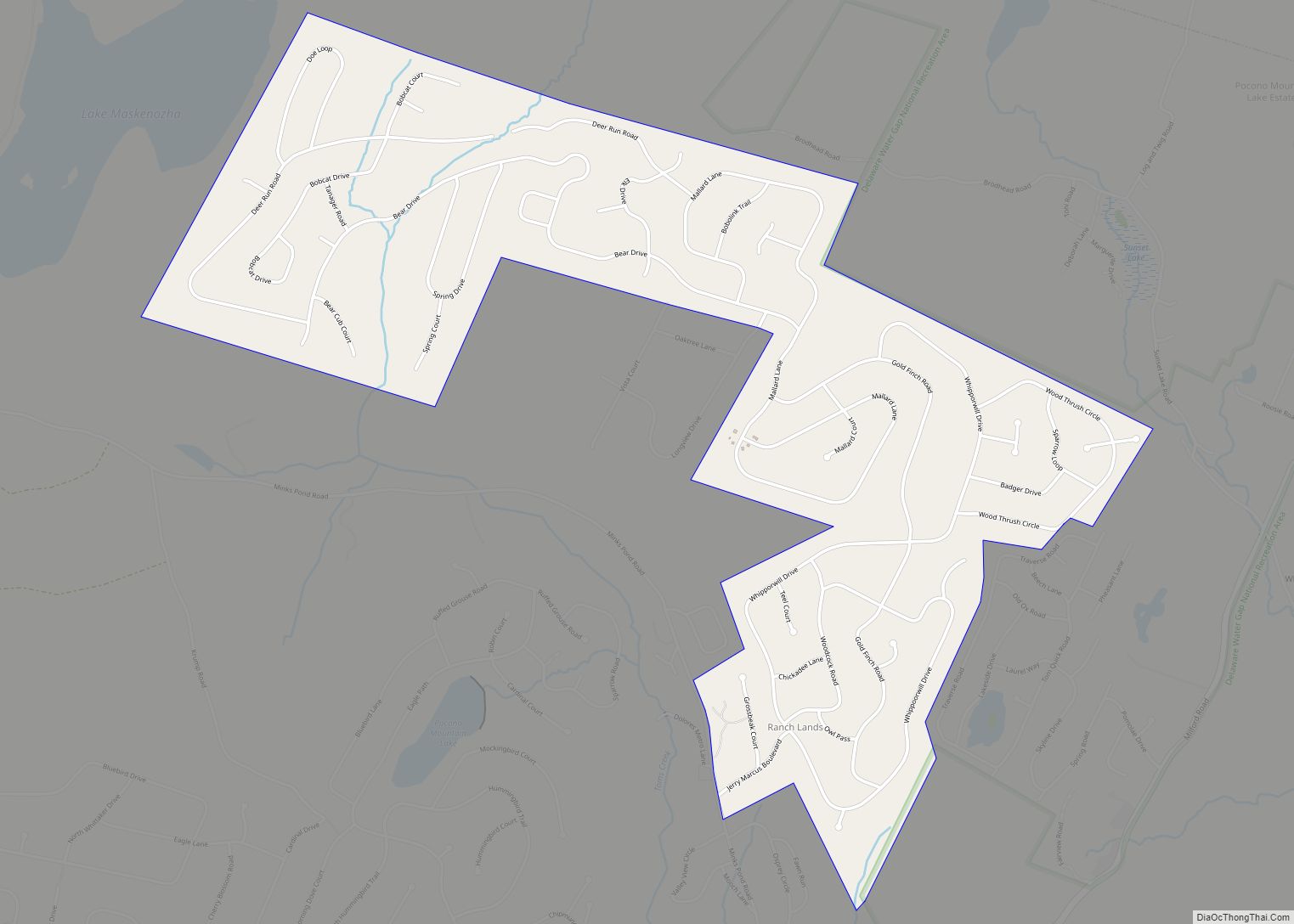
Pocono Ranch Lands is a census-designated place located in northern Lehman Township, Pike County in the state of Pennsylvania. The community is located near U.S. Route 209, and is to the north and shares a southern border with another CDP, the community of Pocono Mountain Lake Estates. As of the 2010 census the population was ... Read more
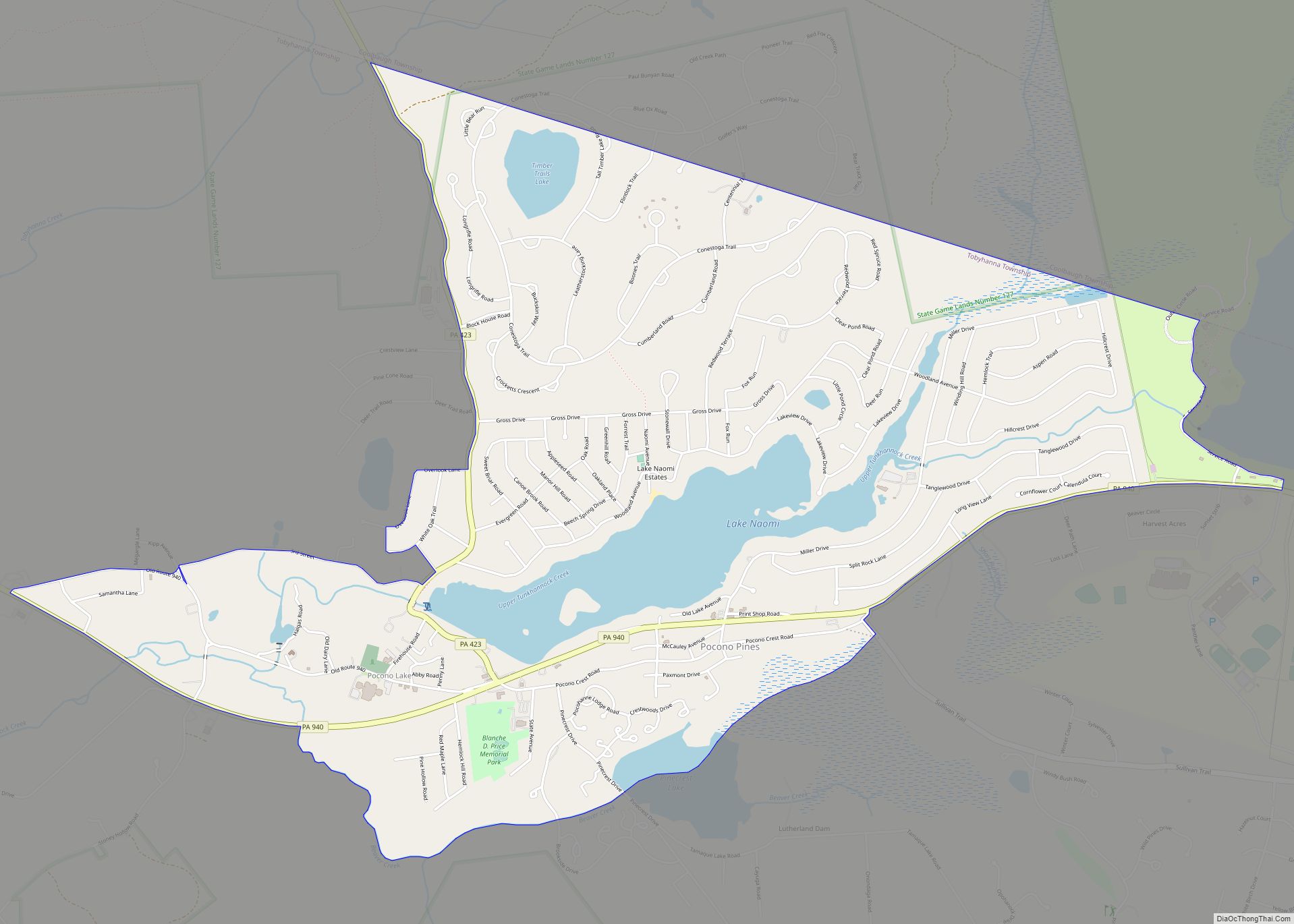
Pocono Pines is a census-designated place (CDP) in Monroe County, Pennsylvania. The population in the 2020 United States Census was 2,007, an increase over the 1,409 population at the 2010 census. Pocono Pines CDP overview: Name: Pocono Pines CDP LSAD Code: 57 LSAD Description: CDP (suffix) State: Pennsylvania County: Monroe County Elevation: 1,804 ft (550 m) Total ... Read more
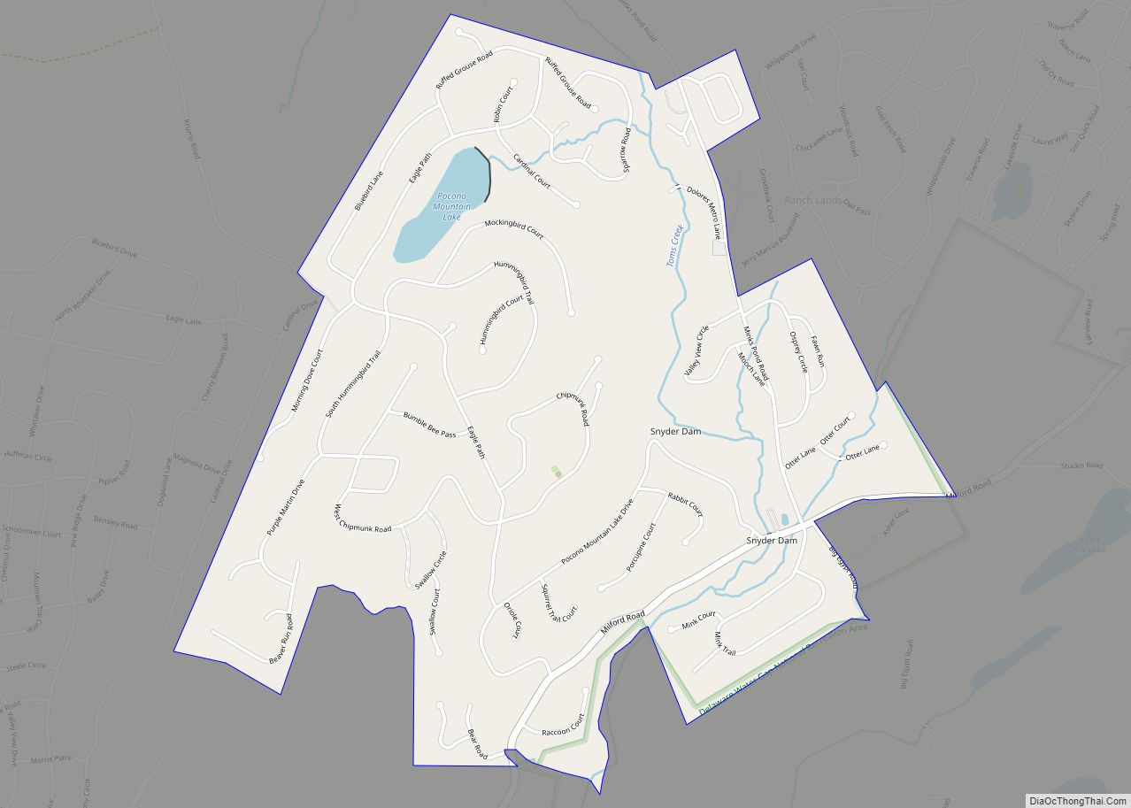
Pocono Mountain Lake Estates is a census-designated place located in Lehman Township, Pike County in the state of Pennsylvania. The community is located near U.S. Route 209, and is between and shares borders with two other CDP’s, Pine Ridge and Pocono Ranch Lands. As of the 2010 census the population was 842 residents. Pocono Mountain ... Read more
