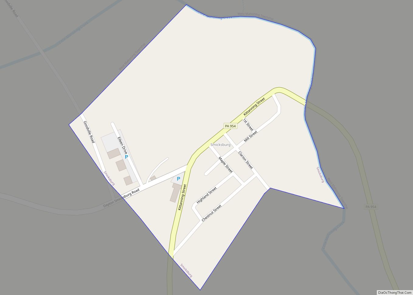
Smicksburg is a borough in Indiana County, Pennsylvania, United States. The population was 57 at the 2020 census, and it is one of the smallest incorporated boroughs in Pennsylvania. It was founded by the Reverend J. George Schmick. Smicksburg borough overview: Name: Smicksburg borough LSAD Code: 21 LSAD Description: borough (suffix) State: Pennsylvania County: Indiana ... Read more
Pennsylvania Cities and Places
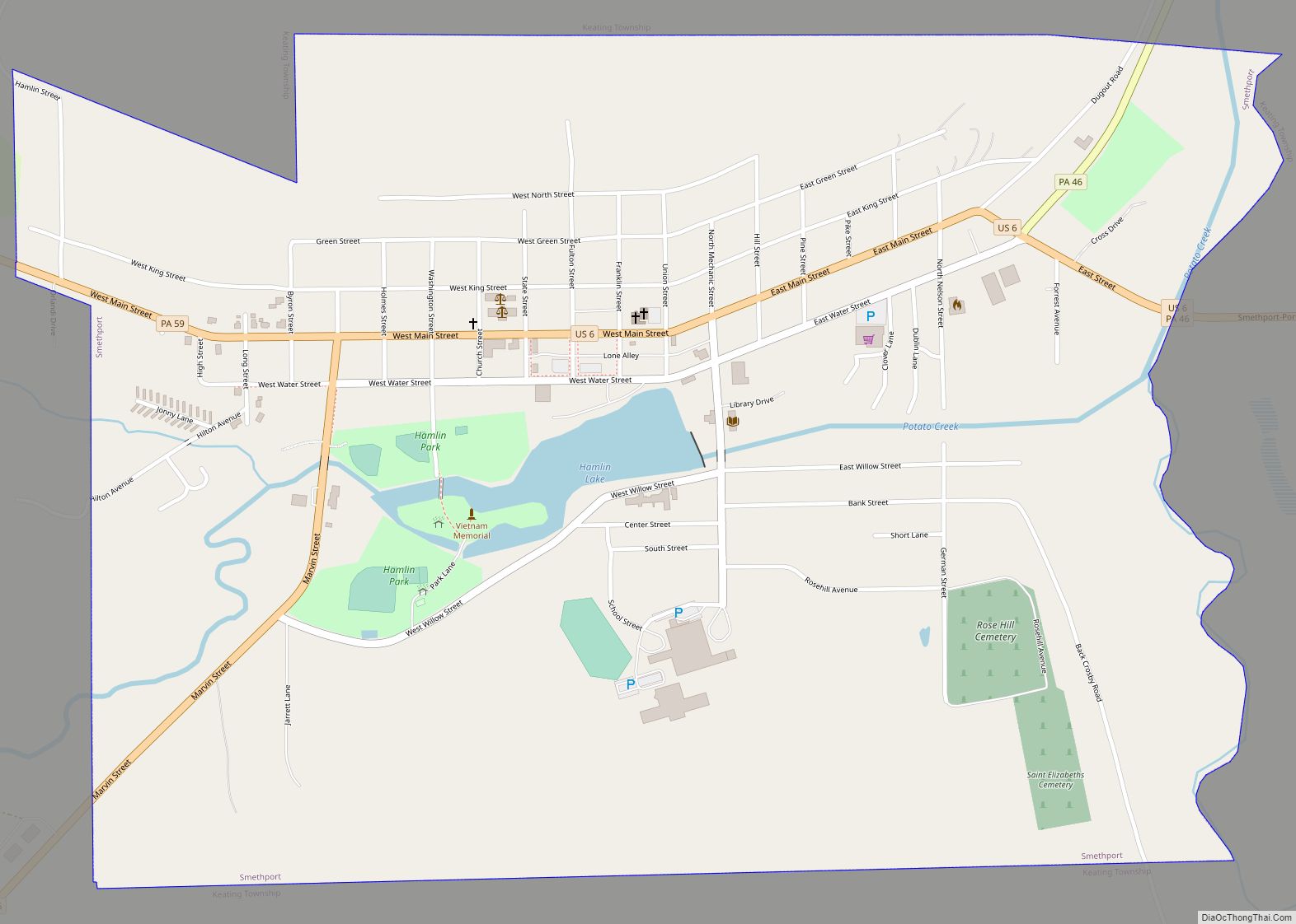
Smethport is a borough and county seat of McKean County, Pennsylvania, United States. The mayor is Wayne V. Foltz. The population was 1,430 at the 2020 census. Smethport is part of the Bradford, PA Micropolitan Statistical Area. Smethport, having the coldest temperature ever recorded in Pennsylvania, is the coldest place in Pennsylvania and one of ... Read more
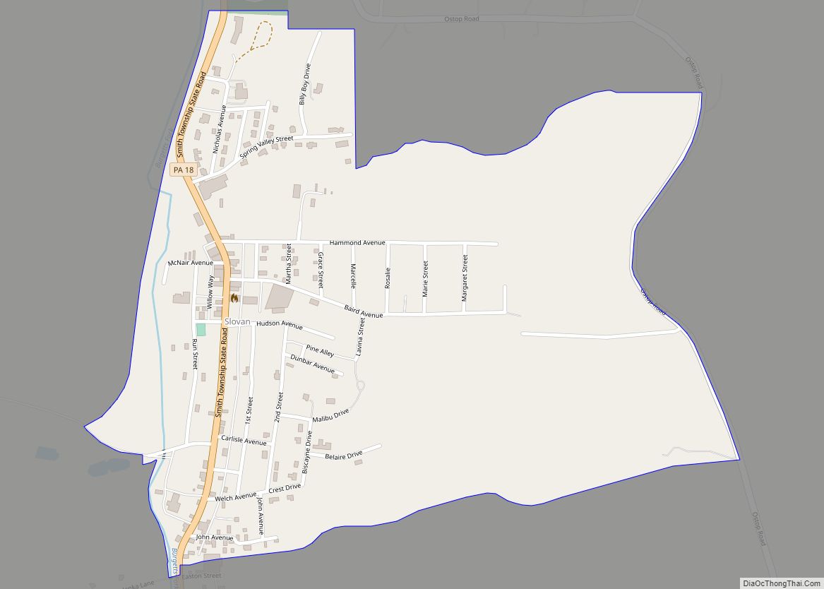
Slovan (/ˈsloʊvæn/ SLOH-van) is a census-designated place in Smith Township, Washington County, Pennsylvania. As of the 2010 census the population was 555 residents. Slovan CDP overview: Name: Slovan CDP LSAD Code: 57 LSAD Description: CDP (suffix) State: Pennsylvania County: Washington County Total Area: 0.18 sq mi (0.5 km²) Land Area: 0.18 sq mi (0.5 km²) Water Area: 0.0 sq mi (0 km²) Total Population: ... Read more
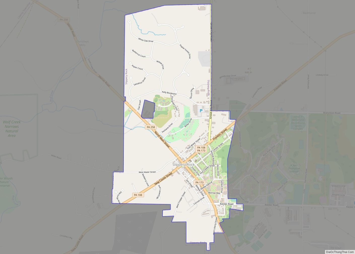
Slippery Rock is a borough in Butler County, Pennsylvania. The population was 3,081 at the 2020 census. Slippery Rock is included in the Greater Pittsburgh Region. It is home to Slippery Rock University of Pennsylvania, attended by nearly 9,000 students as a member of the Pennsylvania State System of Higher Education. The post office for ... Read more
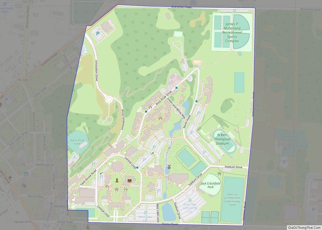
Slippery Rock University (CDP) is a census-designated place located in Slippery Rock Township, Butler County, in the U.S. state of Pennsylvania. It consists of the portion of Slippery Rock University of Pennsylvania that lies outside the borough of Slippery Rock, and the student residential population makes up the majority of the CDP’s population. As of ... Read more
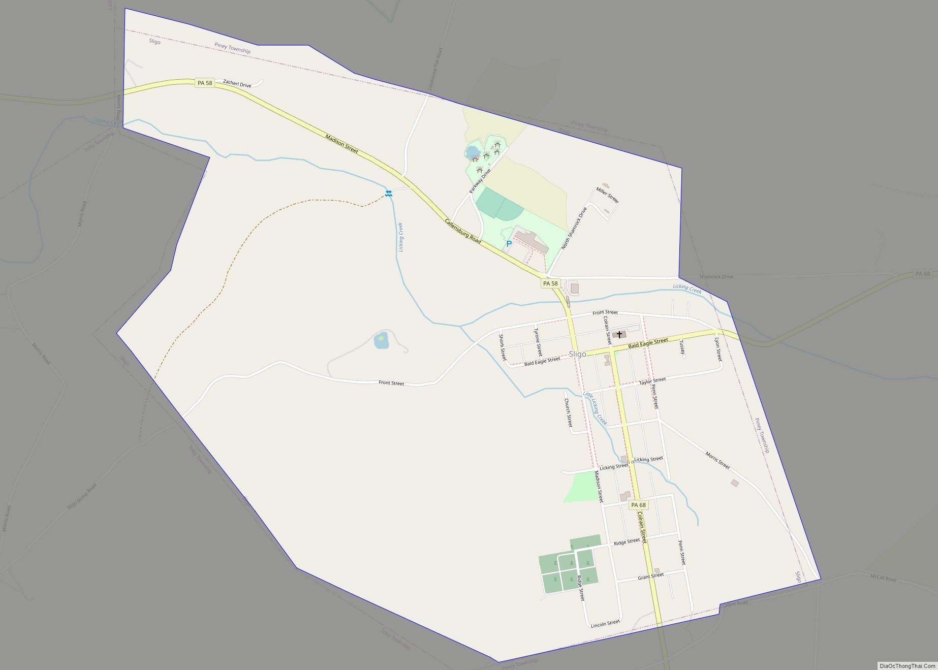
Sligo borough overview: Name: Sligo borough LSAD Code: 21 LSAD Description: borough (suffix) State: Pennsylvania County: Clarion County FIPS code: 4271176 Online Interactive Map Sligo online map. Source: Basemap layers from Google Map, Open Street Map (OSM), Arcgisonline, Wmflabs. Boundary Data from Database of Global Administrative Areas. Sligo location map. Where is Sligo borough? Sligo ... Read more
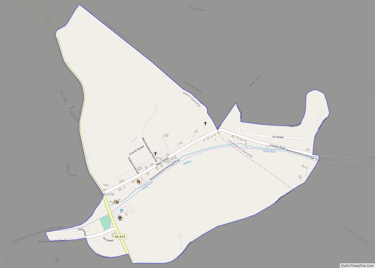
Slickville is a census-designated place (CDP) in Westmoreland County, Pennsylvania, United States. The population was 372 at the 2000 census. Slickville CDP overview: Name: Slickville CDP LSAD Code: 57 LSAD Description: CDP (suffix) State: Pennsylvania County: Westmoreland County Founded: 1917 Total Area: 0.5 sq mi (1.3 km²) Land Area: 0.5 sq mi (1.3 km²) Total Population: 372 Population Density: 740/sq mi (290/km²) ... Read more
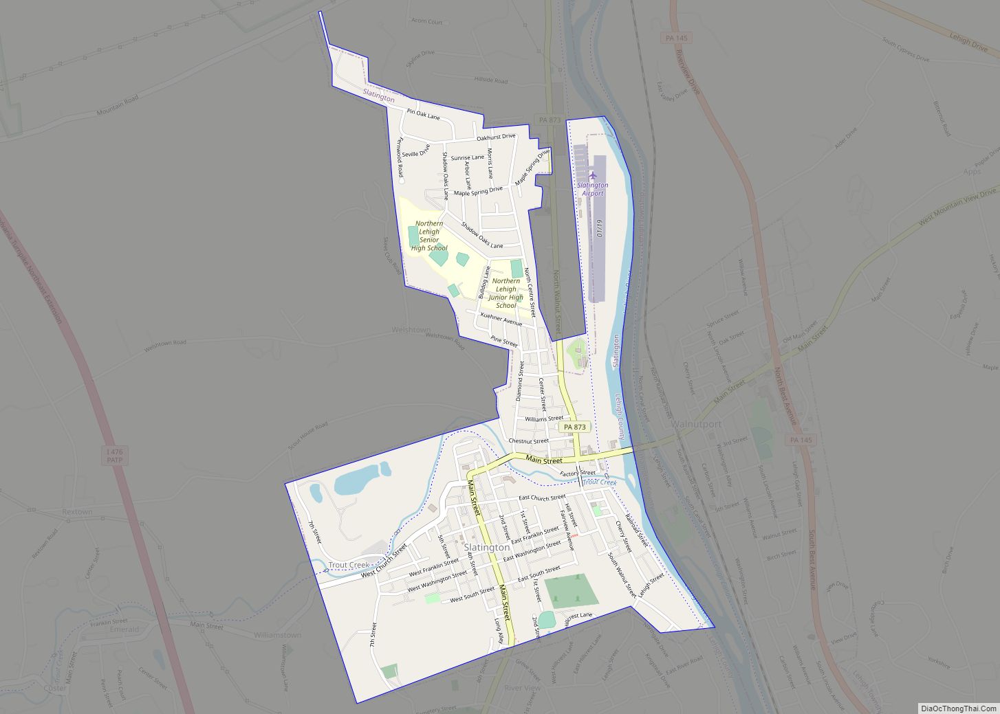
Slatington is a borough in Lehigh County, Pennsylvania. As of the 2010 census, it had a population of 4,232. Slatington is located northwest of Allentown and Bethlehem. Slatington is part of the Lehigh Valley metropolitan area, which had a population of 861,899 and was the 68th-most populous metropolitan area in the U.S. as of the ... Read more
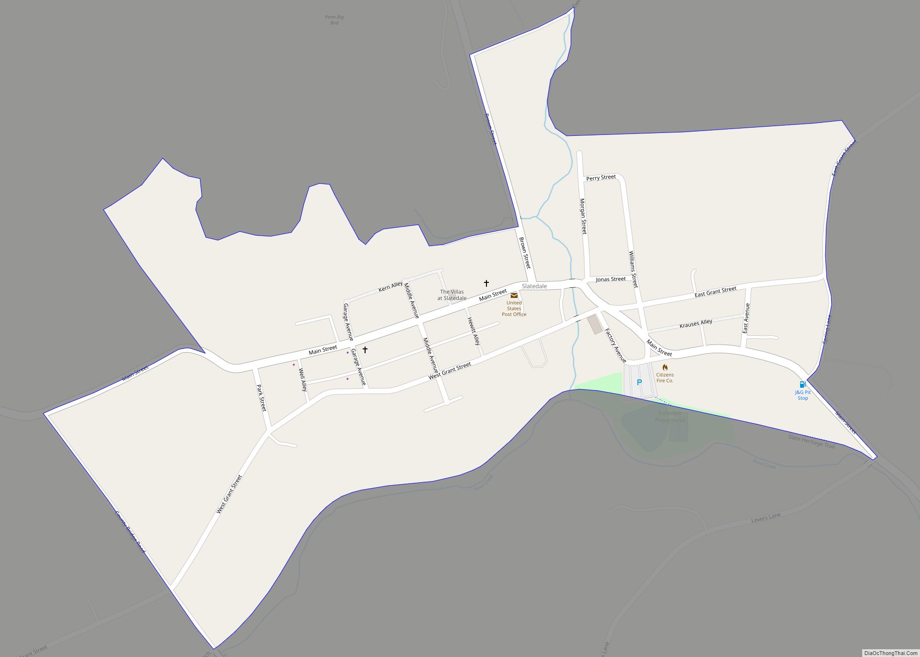
Slatedale is an unincorporated community and census-designated place (CDP) in Washington Township in Lehigh County, Pennsylvania. As of the 2010 census, it had a population of 455. It is part of the Lehigh Valley, which had a population of 861,899 and was the 68th-most populous metropolitan area in the U.S. as of the 2020 census. ... Read more
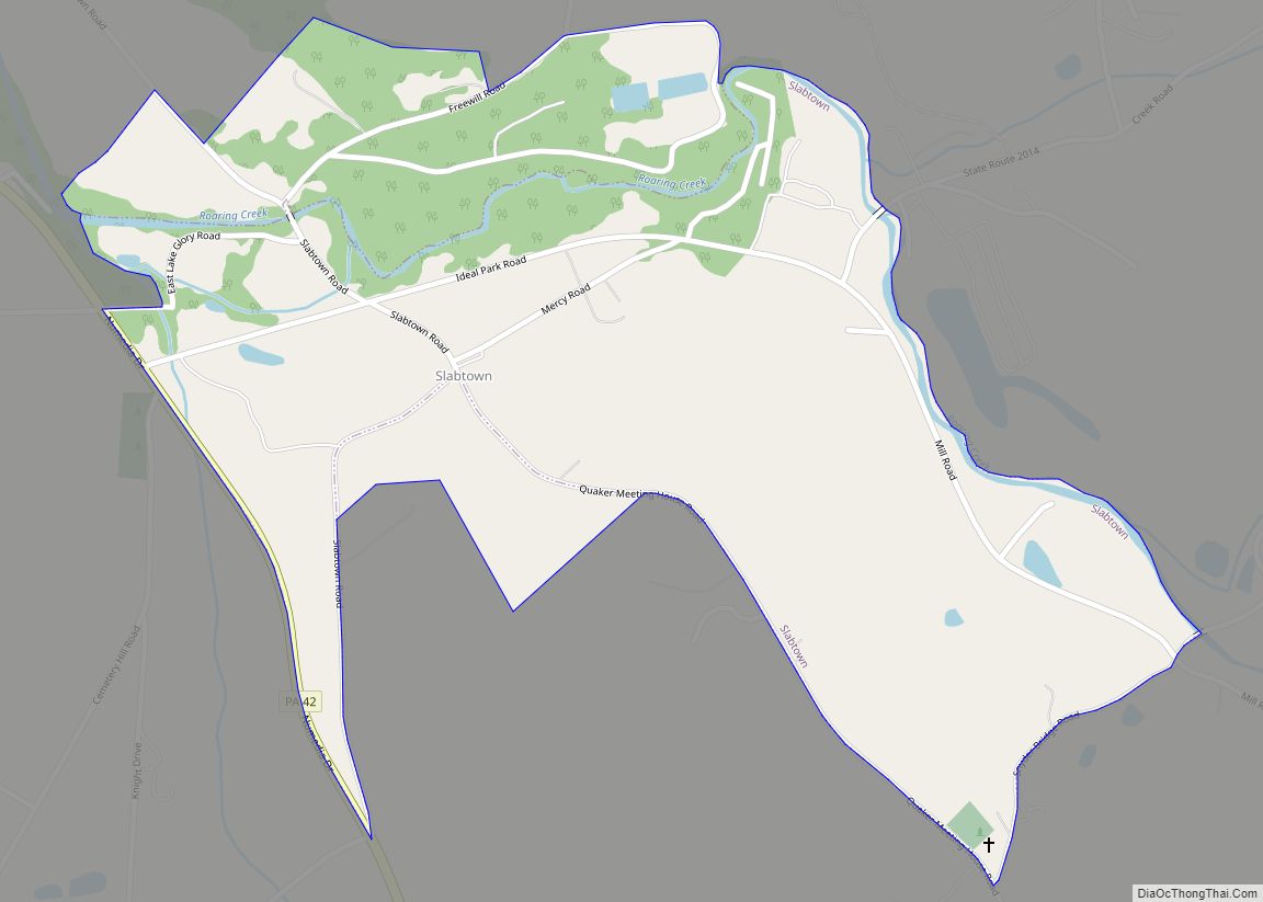
Slabtown is a census-designated place in Columbia County, Pennsylvania, United States. It is part of Northeastern Pennsylvania. The population was 156 at the 2010 census. It is part of the Bloomsburg-Berwick micropolitan area. Slabtown CDP overview: Name: Slabtown CDP LSAD Code: 57 LSAD Description: CDP (suffix) State: Pennsylvania County: Columbia County Elevation: 800 ft (200 m) Total ... Read more
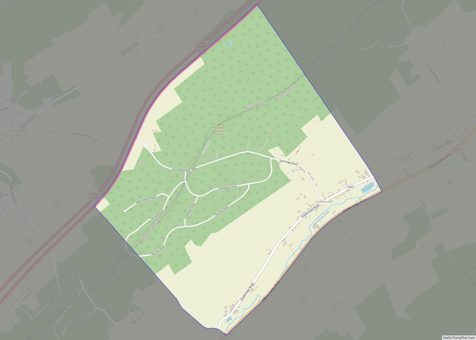
Snydertown is an unincorporated community and census-designated place in Walker and Marion townships in Centre County, Pennsylvania, United States. As of the 2010 census, the population was 483. The village center lies in Walker Township in the Nittany Valley, between the communities of Hublersburg and Nittany near Pennsylvania Route 64. The CDP boundaries extend west ... Read more
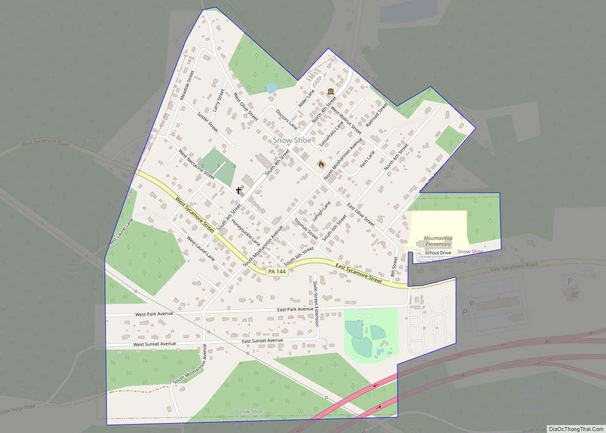
Snow Shoe is a borough in Centre County, Pennsylvania, United States. It is part of the State College, Pennsylvania Metropolitan Statistical Area. The population was 765 at the 2010 census. According to tradition, Snow Shoe was so named when a pair of snowshoes were found at an Indian village near the present town site. Snow ... Read more
