Somerset /ˈsʌmərsɛt/ is a borough in, and the county seat of, Somerset County, Pennsylvania, United States. The population was 6,046 at the 2020 census. The borough is surrounded by Somerset Township. Somerset is just off Exit 110 of the Pennsylvania Turnpike (I-70 and I-76). Somerset is the principal city of the Somerset, PA Micropolitan Statistical Area, and is also one of two cities, the other being Johnstown, that make up the larger Johnstown-Somerset, PA Combined Statistical Area.
| Name: | Somerset borough |
|---|---|
| LSAD Code: | 21 |
| LSAD Description: | borough (suffix) |
| State: | Pennsylvania |
| County: | Somerset County |
| Incorporated: | March 5, 1804 |
| Elevation: | 2,190 ft (670 m) |
| Total Area: | 2.73 sq mi (7.07 km²) |
| Land Area: | 2.73 sq mi (7.07 km²) |
| Water Area: | 0.00 sq mi (0.00 km²) |
| Total Population: | 6,046 |
| Population Density: | 2,145.47/sq mi (828.52/km²) |
| Area code: | 814 |
| FIPS code: | 4271776 |
| Website: | http://www.somersetborough.com |
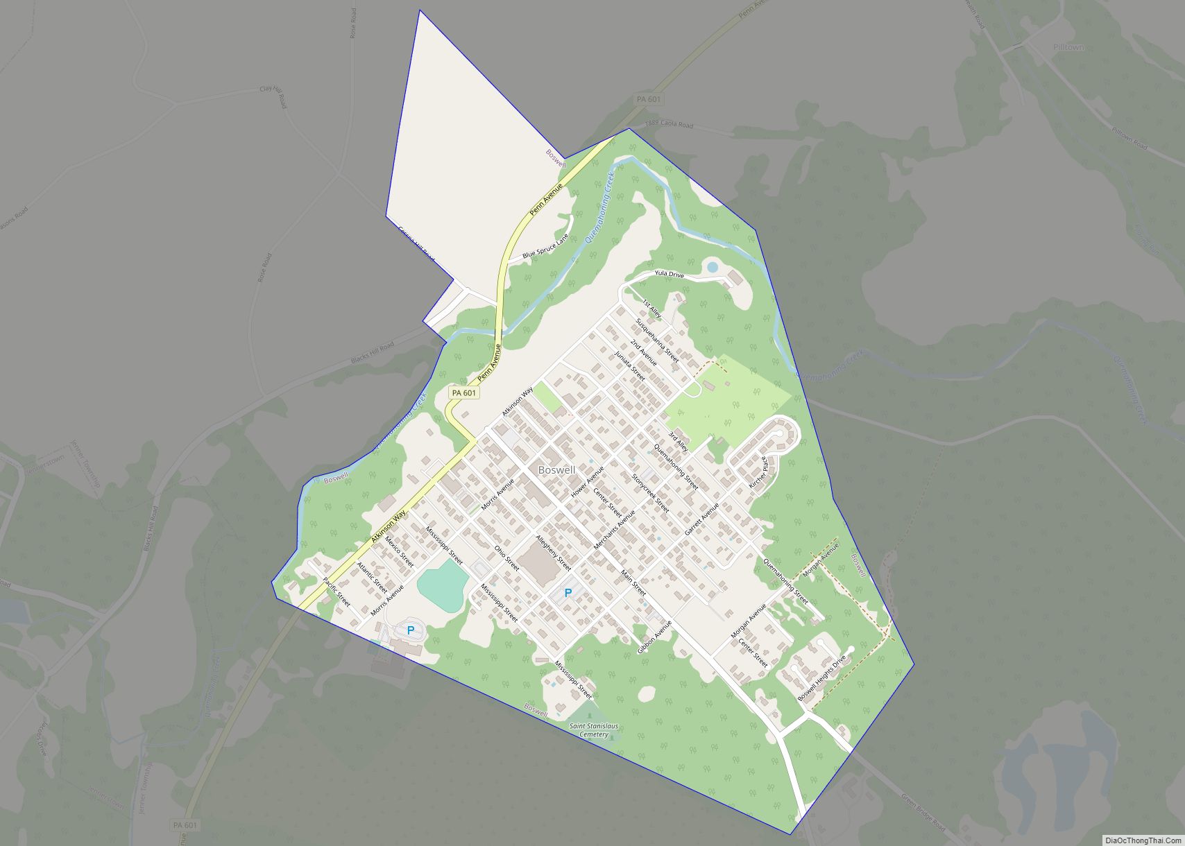
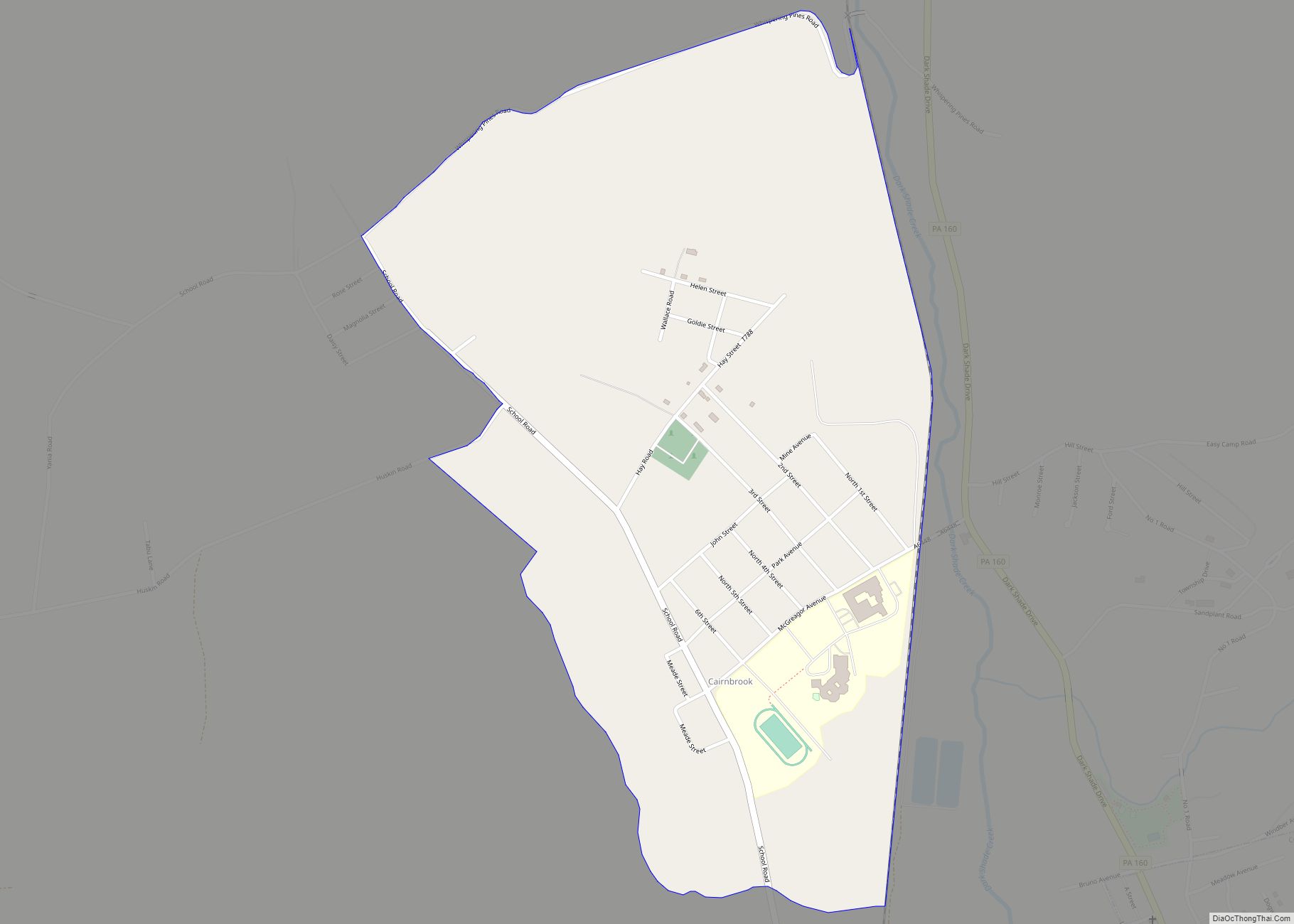
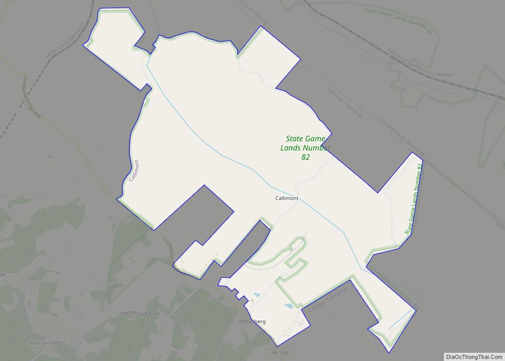
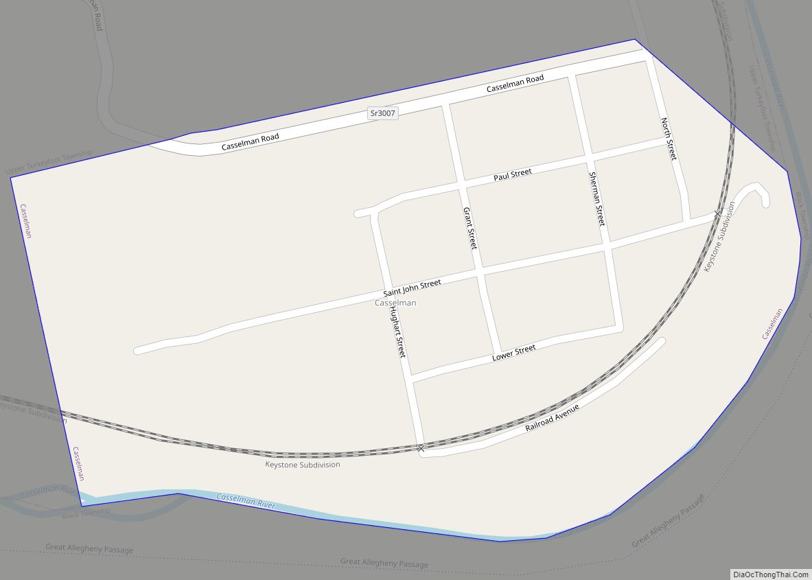
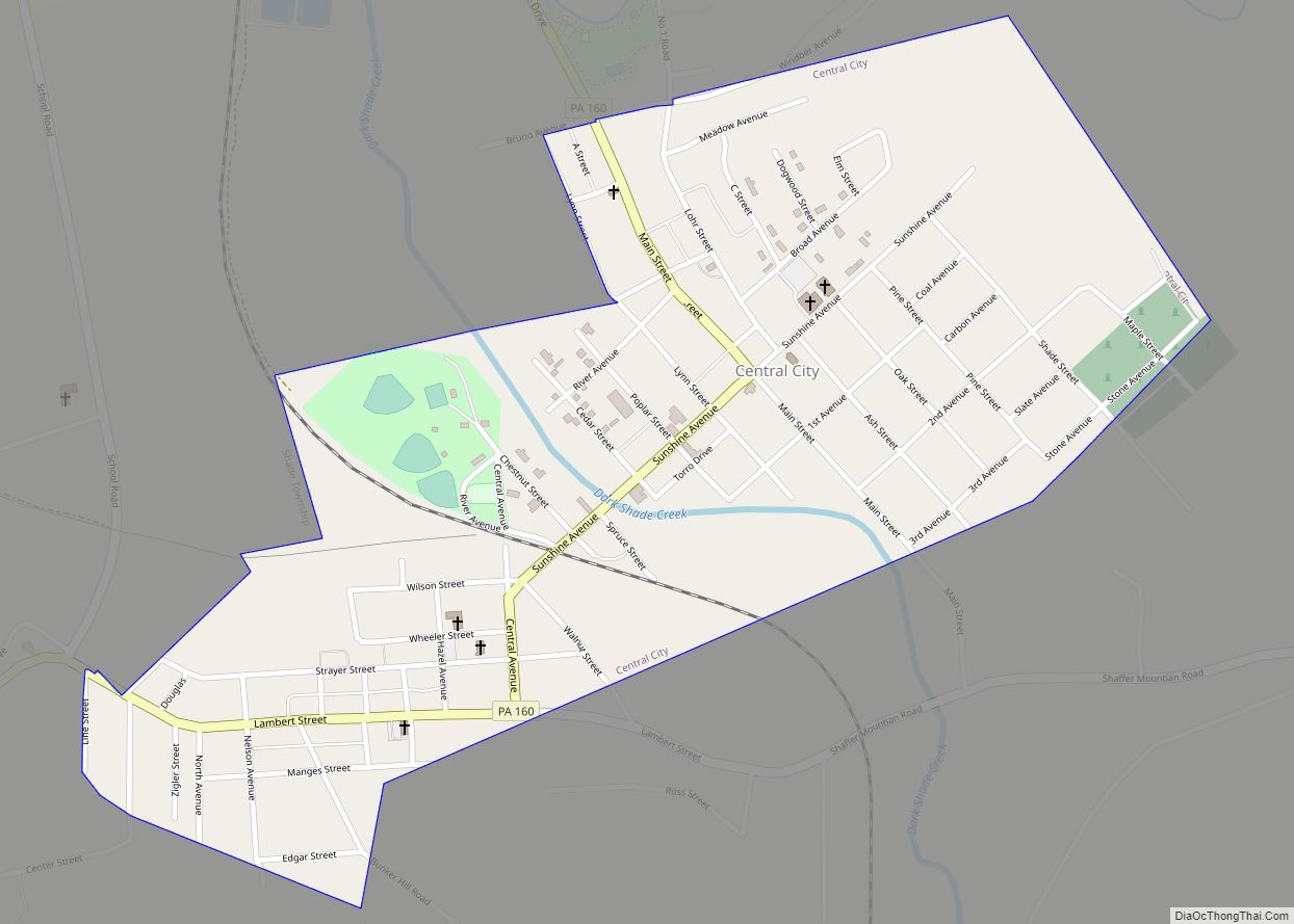
Online Interactive Map
Click on ![]() to view map in "full screen" mode.
to view map in "full screen" mode.
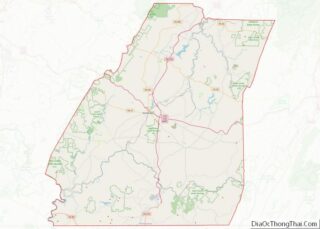
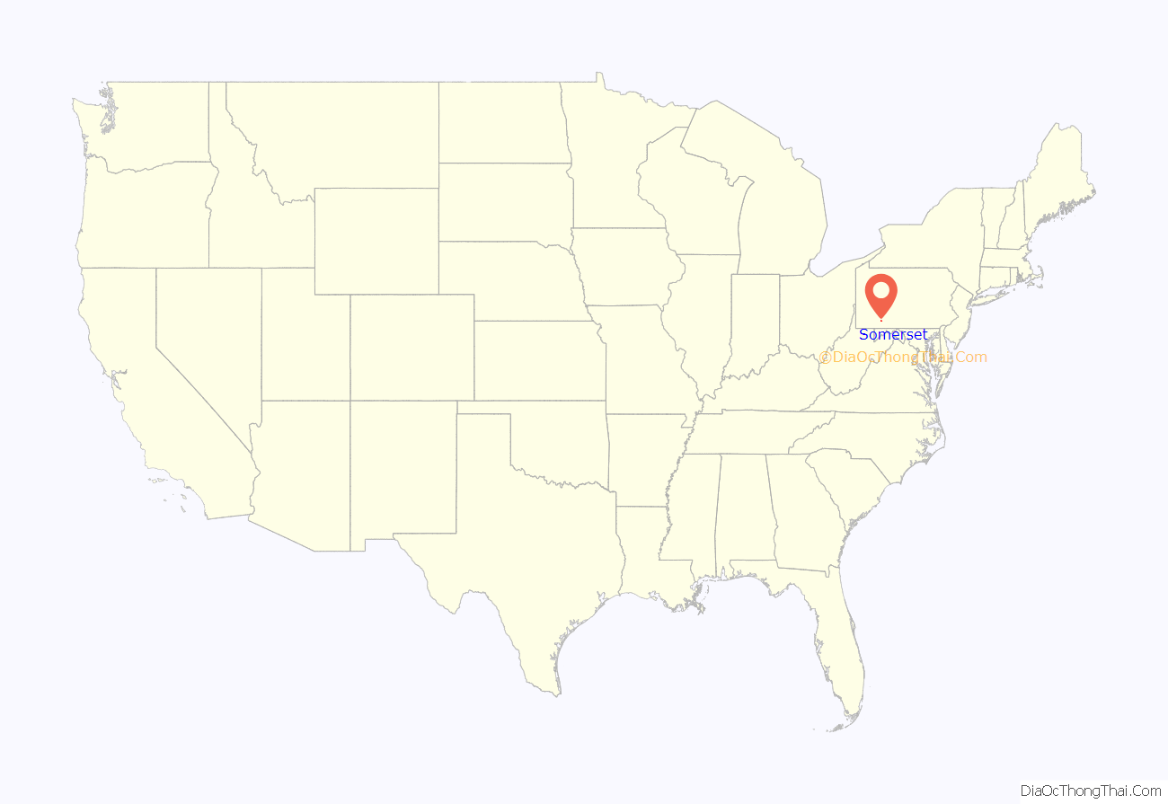
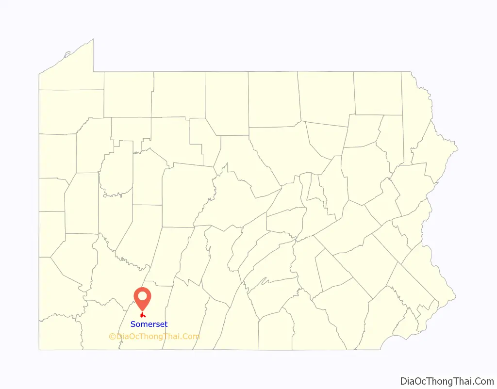
Somerset location map. Where is Somerset borough?
History
The Somerset County Courthouse and Uptown Somerset Historic District are listed on the National Register of Historic Places.
- Somerset was a central stage for the Whiskey Rebellion of 1794. Several rebellion leaders, including Harmon Husband, lived in Somerset. The federal militia sent to put down the rebellion worked from its headquarters in the nearby town of Berlin. The Whiskey Rebellion was the first major test of the federal authority under the newly adopted U.S. Constitution and under President George Washington.
- A major fire on the afternoon of May 9, 1872, destroyed a significant portion of the town within just a few hours.
- On September 11, 2001, United Airlines Flight 93, bound from Newark, New Jersey, to San Francisco and one of the four planes hijacked that day by al-Qaeda operatives, crashed near Shanksville, killing all 44 persons on board. It is believed that hijackers intended to fly this plane into the U.S. Capitol Building or the White House.
- In July 2002, nine miners were trapped for 77 hours, 240 feet (73 m) underground, by flooding in the Quecreek coal mine, just outside Somerset. All nine miners were rescued. The Quecreek Mine Rescue was chronicled by journalists from around the world and was televised globally.
- Somerset Crater on Mars is named after Somerset.
Somerset Road Map

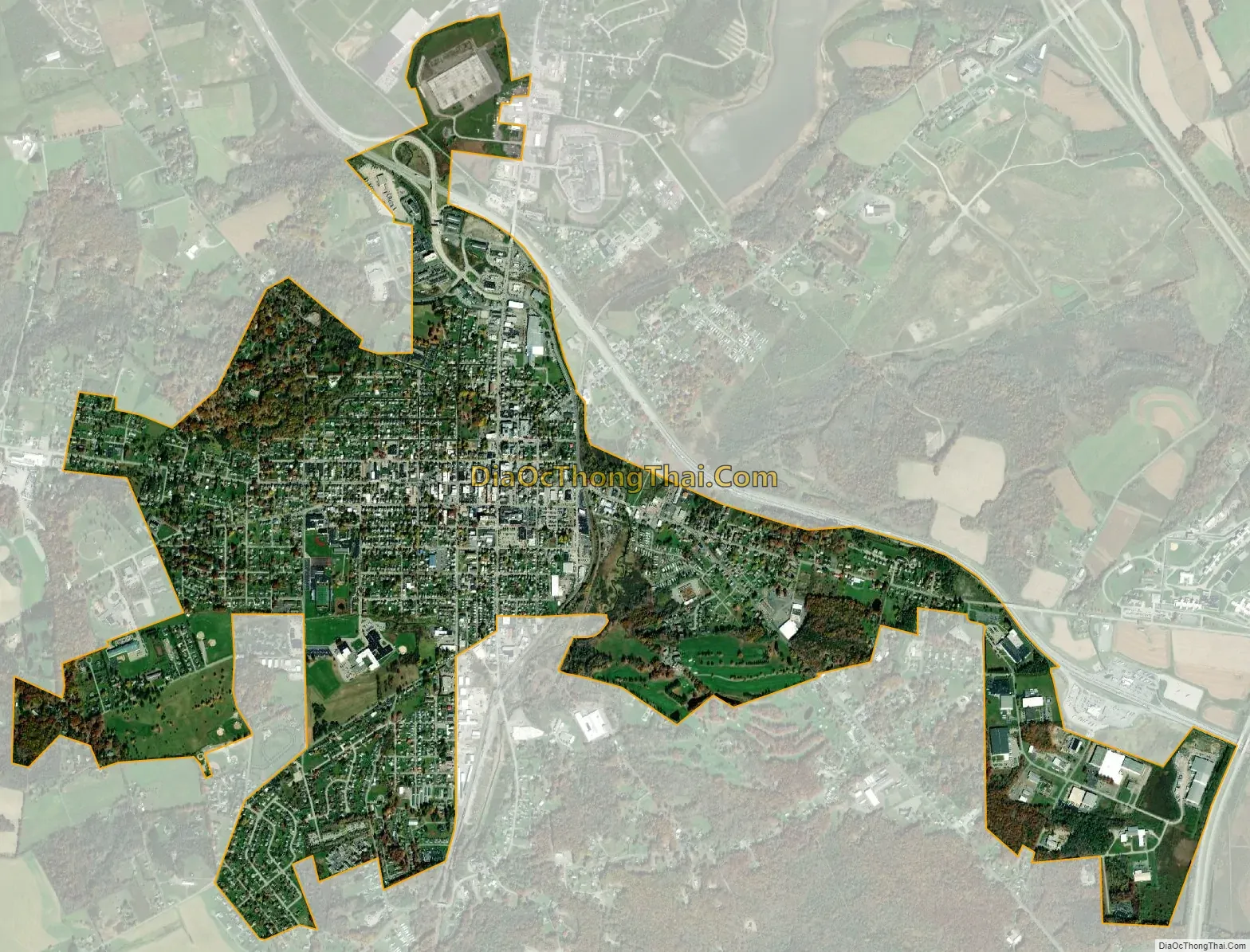
Somerset city Satellite Map
Geography
Somerset lies at 40°0′25″N 79°4′53″W / 40.00694°N 79.08139°W / 40.00694; -79.08139 (40.006920, -79.081297) on Pennsylvania’s southern border.
According to the United States Census Bureau, the borough has a total area of 2.7 square miles (7.0 km), all land.
Somerset has the ninth-highest elevation of towns in Pennsylvania, at 2,190 feet (670 m) above sea level. Somerset County is in Appalachia.
See also
Map of Pennsylvania State and its subdivision:- Adams
- Allegheny
- Armstrong
- Beaver
- Bedford
- Berks
- Blair
- Bradford
- Bucks
- Butler
- Cambria
- Cameron
- Carbon
- Centre
- Chester
- Clarion
- Clearfield
- Clinton
- Columbia
- Crawford
- Cumberland
- Dauphin
- Delaware
- Elk
- Erie
- Fayette
- Forest
- Franklin
- Fulton
- Greene
- Huntingdon
- Indiana
- Jefferson
- Juniata
- Lackawanna
- Lancaster
- Lawrence
- Lebanon
- Lehigh
- Luzerne
- Lycoming
- Mc Kean
- Mercer
- Mifflin
- Monroe
- Montgomery
- Montour
- Northampton
- Northumberland
- Perry
- Philadelphia
- Pike
- Potter
- Schuylkill
- Snyder
- Somerset
- Sullivan
- Susquehanna
- Tioga
- Union
- Venango
- Warren
- Washington
- Wayne
- Westmoreland
- Wyoming
- York
- Alabama
- Alaska
- Arizona
- Arkansas
- California
- Colorado
- Connecticut
- Delaware
- District of Columbia
- Florida
- Georgia
- Hawaii
- Idaho
- Illinois
- Indiana
- Iowa
- Kansas
- Kentucky
- Louisiana
- Maine
- Maryland
- Massachusetts
- Michigan
- Minnesota
- Mississippi
- Missouri
- Montana
- Nebraska
- Nevada
- New Hampshire
- New Jersey
- New Mexico
- New York
- North Carolina
- North Dakota
- Ohio
- Oklahoma
- Oregon
- Pennsylvania
- Rhode Island
- South Carolina
- South Dakota
- Tennessee
- Texas
- Utah
- Vermont
- Virginia
- Washington
- West Virginia
- Wisconsin
- Wyoming