Blandon is a census-designated place in Maidencreek Township, Berks County, Pennsylvania, United States. It is located at the junction of Pennsylvania Route 73 and Park Road. As of the 2010 census, the population was 7,152 residents. Blandon CDP overview: Name: Blandon CDP LSAD Code: 57 LSAD Description: CDP (suffix) State: Pennsylvania County: Berks County Elevation: ... Read more
Pennsylvania Cities and Places
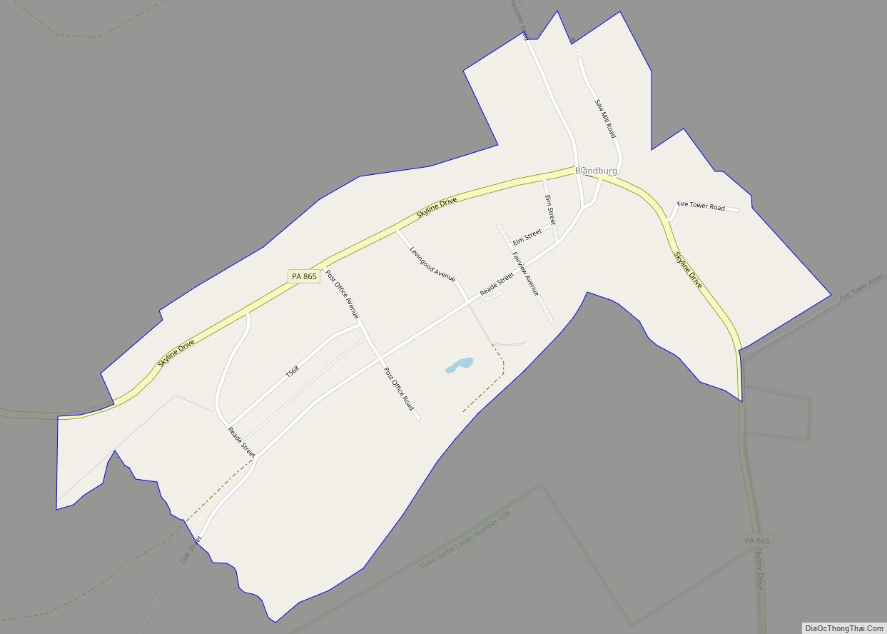
Blandburg is an unincorporated community and census-designated place (CDP) in Reade Township, Cambria County, Pennsylvania, United States, located along Pennsylvania Route 865 in far northeastern Cambria County. As of the 2010 census, the population was 402 residents. Blandburg CDP overview: Name: Blandburg CDP LSAD Code: 57 LSAD Description: CDP (suffix) State: Pennsylvania County: Cambria County ... Read more
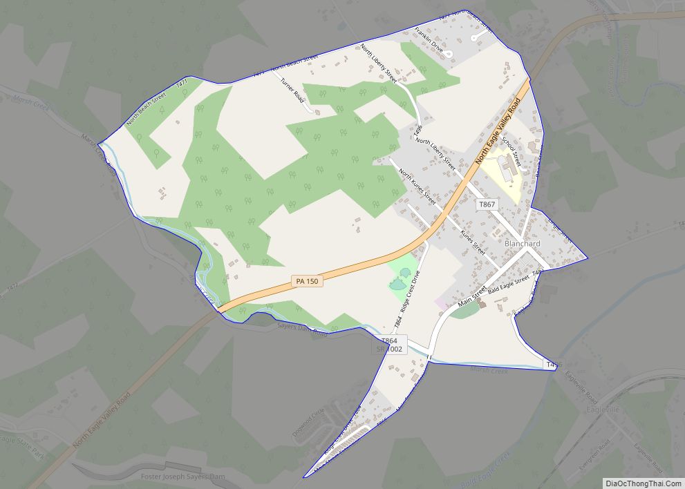
Blanchard is a census-designated place (CDP) in Centre County, Pennsylvania, United States. It is part of the State College, Pennsylvania Metropolitan Statistical Area. The population was 740 at the 2010 census. Blanchard CDP overview: Name: Blanchard CDP LSAD Code: 57 LSAD Description: CDP (suffix) State: Pennsylvania County: Centre County Elevation: 645 ft (197 m) Total Area: 1.43 sq mi ... Read more
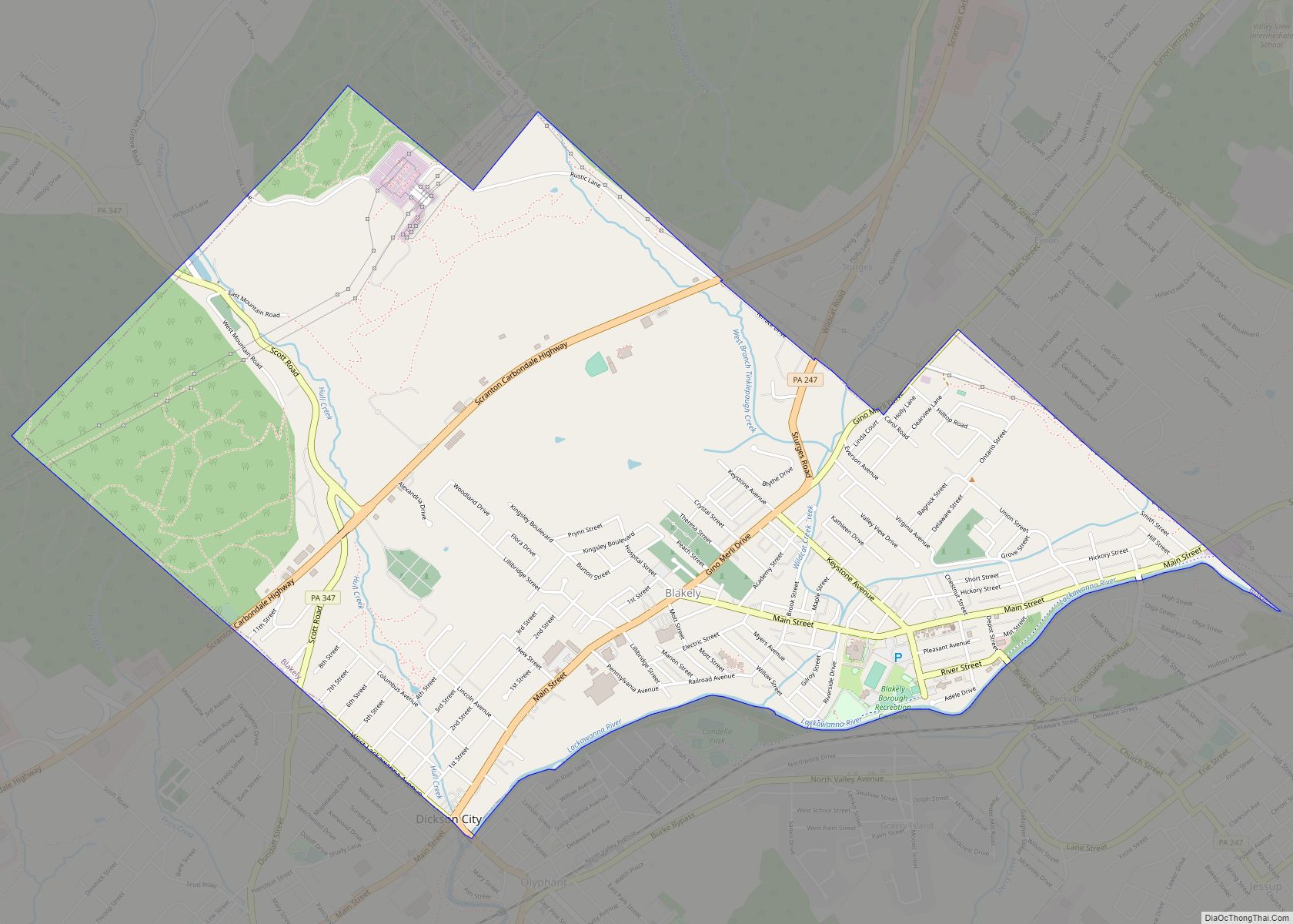
Blakely is a borough in Lackawanna County, Pennsylvania, United States. It is part of Northeastern Pennsylvania. The population was 6,657 at the 2020 census. The Lackawanna River flows through Blakely, and within the borough is the village of Peckville. Blakely borough overview: Name: Blakely borough LSAD Code: 21 LSAD Description: borough (suffix) State: Pennsylvania County: ... Read more
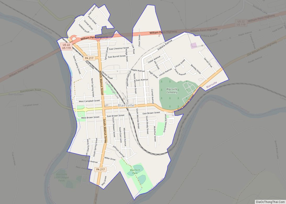
Blairsville is a borough in Indiana County, Pennsylvania, United States, located 42 miles (68 km) east of Pittsburgh, and on the Conemaugh River. As of the 2020 census it had a population of 3,252. Blairsville borough overview: Name: Blairsville borough LSAD Code: 21 LSAD Description: borough (suffix) State: Pennsylvania County: Indiana County Incorporated: 1825 Elevation: 1,010 ft ... Read more
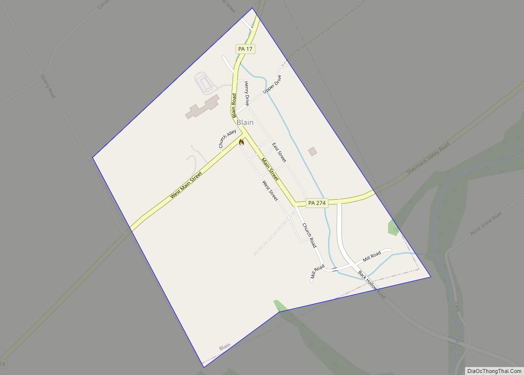
Blain is a borough in Perry County, Pennsylvania, United States. The population was 227 at the 2020 census. It is part of the Harrisburg metropolitan area. Blain is located in a valley region known as Sherman’s Valley. Blain borough overview: Name: Blain borough LSAD Code: 21 LSAD Description: borough (suffix) State: Pennsylvania County: Perry County ... Read more
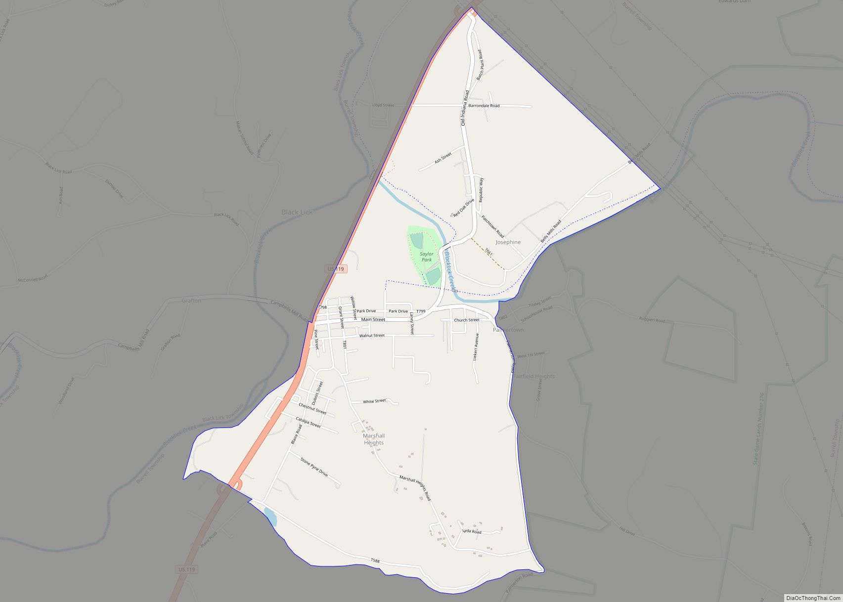
Black Lick is a census-designated place (CDP) in Burrell Township, Indiana County, Pennsylvania, United States. The population was 1,462 at the 2010 census. A post office called Black Lick has been in operation since 1809. The community was named after Blacklick Creek. Black Lick CDP overview: Name: Black Lick CDP LSAD Code: 57 LSAD Description: ... Read more
Birmingham is a borough in Huntingdon County, Pennsylvania, United States. The population was 90 at the 2020 census. Birmingham is the site of the Birmingham Window, a geologic structure created by a Paleozoic thrust fault. Birmingham’s early settler, John Cadwallader, settled on a hill above the Little Juniata River and made plans to establish a ... Read more
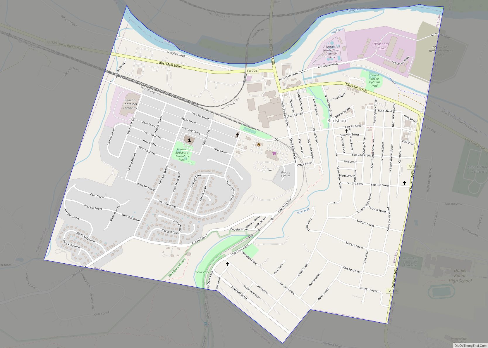
Birdsboro is a borough in Berks County, Pennsylvania, United States. It is located along the Schuylkill River 8 miles (13 km) southeast of Reading. As of the 2010 census, it had a population of 5,163. Birdsboro’s economy had historically been rooted in large foundries and machine shops, none of which remain in operation today. Birdsboro borough ... Read more
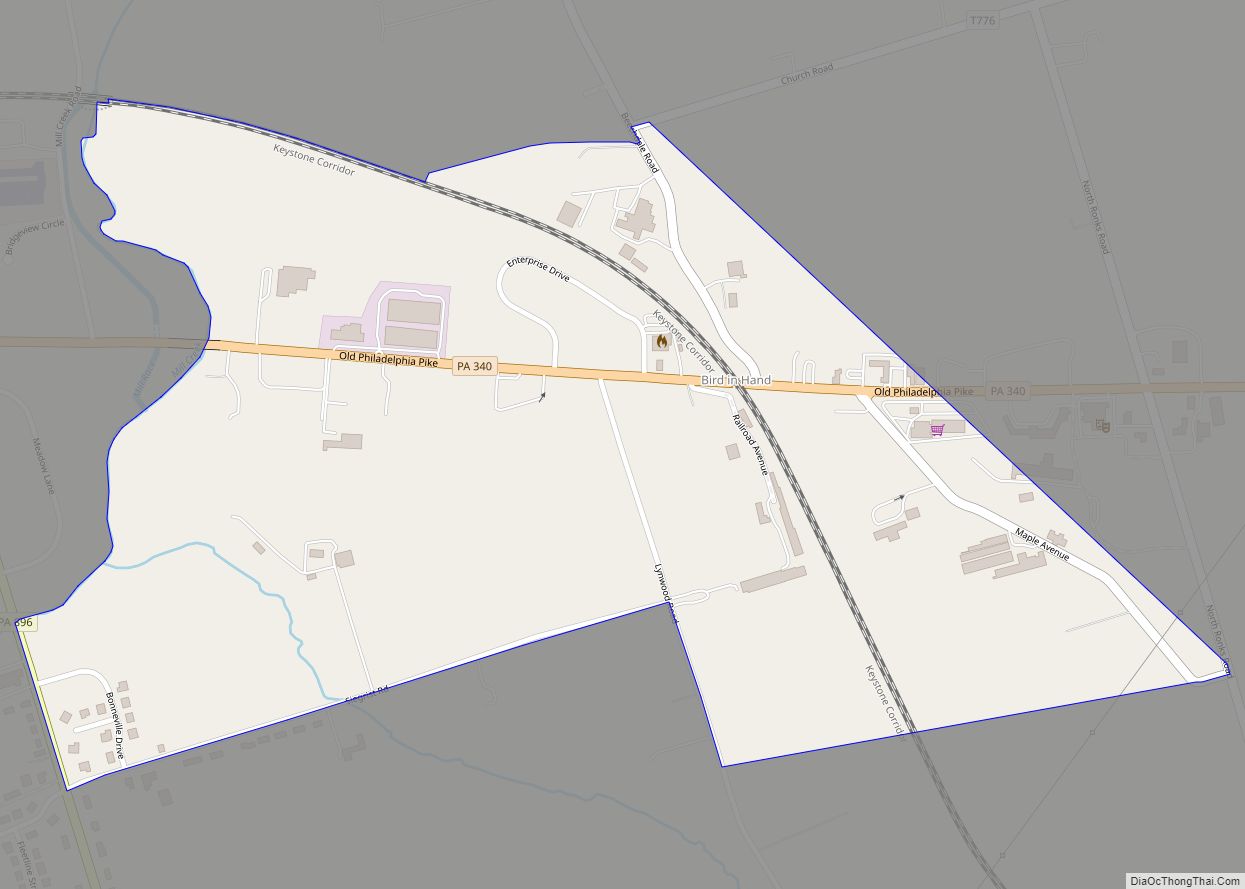
Bird-in-Hand is an unincorporated community and census-designated place (CDP) in Lancaster County, Pennsylvania, United States, in East Lampeter Township. The “Bird in Hand” ZIP code extends east from the CDP into Leacock and Upper Leacock townships. The community has a large Amish and Mennonite population. As of the 2010 census, the population within the CDP ... Read more
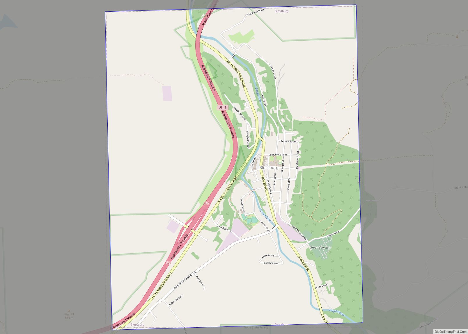
Blossburg is a borough in Tioga County, Pennsylvania, United States. The population was 1,536 at the 2020 census. Blossburg borough overview: Name: Blossburg borough LSAD Code: 21 LSAD Description: borough (suffix) State: Pennsylvania County: Tioga County Elevation: 1,342 ft (409 m) Total Area: 4.65 sq mi (12.03 km²) Land Area: 4.65 sq mi (12.03 km²) Water Area: 0.00 sq mi (0.00 km²) Total Population: 1,533 Population ... Read more
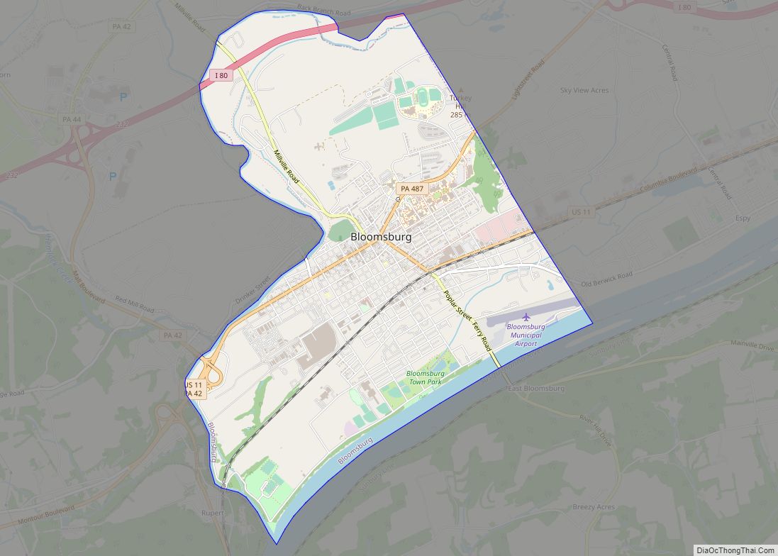
Bloomsburg is a town and the county seat of Columbia County, Pennsylvania, United States. It is part of Northeastern Pennsylvania and is located 40 miles (64 km) southwest of Wilkes-Barre along the Susquehanna River. It is the only Pennsylvania municipality incorporated as a town. As of the 2010 census, Bloomsburg had a population of 14,855, with ... Read more

