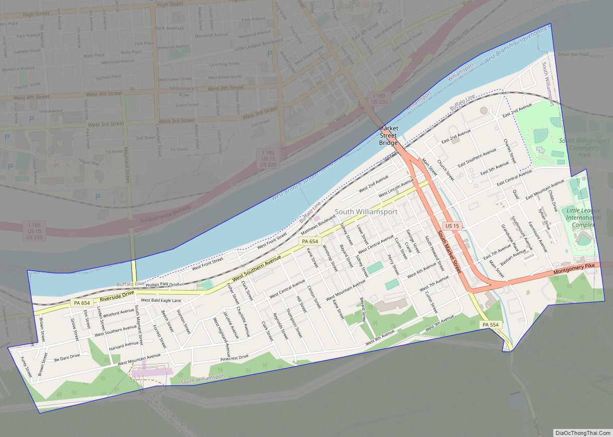
South Williamsport is a borough in Lycoming County, Pennsylvania, United States. It is famous for hosting the Little League World Series. The population was 6,259 at the 2020 census. It is part of the Williamsport, Pennsylvania Metropolitan Statistical Area. South Williamsport borough overview: Name: South Williamsport borough LSAD Code: 21 LSAD Description: borough (suffix) State: ... Read more
Pennsylvania Cities and Places
South Waverly is a borough in Bradford County, Pennsylvania, United States. It is part of Northeastern Pennsylvania. The population was 1,070 at the 2020 census. South Waverly is part of the Penn-York Valley (called “The Valley”), a group of four contiguous communities in New York and Pennsylvania: Waverly, New York, South Waverly, Sayre, and Athens, ... Read more
South Uniontown is a census-designated place in South Union Township, Fayette County, Pennsylvania, United States. As of the 2010 census, the population was 1,360. The community borders the southwestern side of the city of Uniontown, the Fayette County seat. U.S. routes 40 and 119, a four-lane bypass of the city and in this area part ... Read more
South Temple is a census-designated place in Muhlenberg Township, Berks County, Pennsylvania, United States. It is located approximately four miles north of the city of Reading. As of the 2010 census, the population was 1,424 residents. Originally a streetcar suburb of Reading, South Temple retains the look of a 1920s residential community, with decent-sized properties, ... Read more
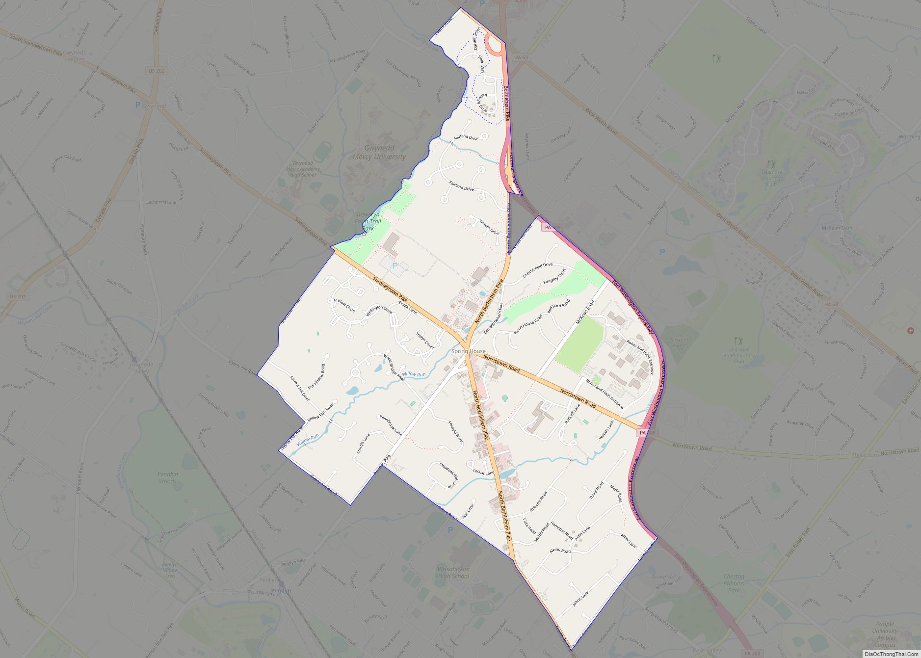
Spring House is a census-designated place (CDP) in Lower Gwynedd Township, Montgomery County, Pennsylvania, United States. The population was 3,978 at the 2020 census. Spring House CDP overview: Name: Spring House CDP LSAD Code: 57 LSAD Description: CDP (suffix) State: Pennsylvania County: Montgomery County Elevation: 285 ft (87 m) Total Area: 2.6 sq mi (7 km²) Land Area: 2.6 sq mi (7 km²) ... Read more
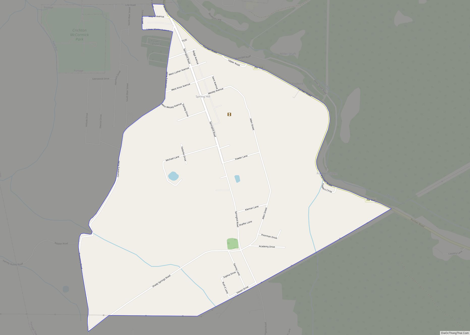
Spring Hill is a census-designated place (CDP) in Cambria County, Pennsylvania, United States. The population was 839 at the 2010 census, down from 970 at the 2000 census. Spring Hill CDP overview: Name: Spring Hill CDP LSAD Code: 57 LSAD Description: CDP (suffix) State: Pennsylvania County: Cambria County FIPS code: 4273224 Online Interactive Map Spring ... Read more
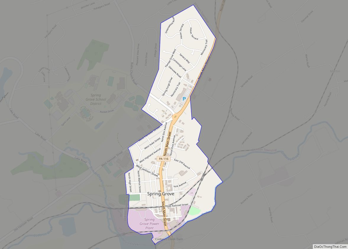
Spring Grove is a borough in York County, Pennsylvania, United States. The population was 2,372 at the 2020 census.]. Spring Grove borough overview: Name: Spring Grove borough LSAD Code: 21 LSAD Description: borough (suffix) State: Pennsylvania County: York County Incorporated: 1882 Elevation: 443 ft (135 m) Total Area: 0.78 sq mi (2.03 km²) Land Area: 0.78 sq mi (2.03 km²) Water Area: 0.00 sq mi ... Read more
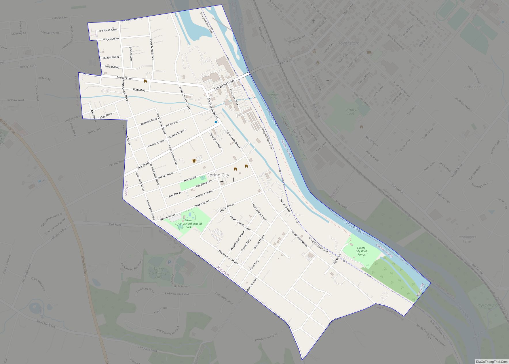
Spring City is a borough in Chester County, Pennsylvania, United States. The population was 3,494 at the 2020 census. Spring City is a member of the Spring-Ford Area School District. It is situated along the Schuylkill River, which divides Chester and Montgomery counties. Directly across the river is the borough of Royersford. Spring City borough ... Read more
Springmont is a census-designated place in Spring Township, Berks County, Pennsylvania, United States. It is located along U.S. Route 422 near the community of West Wyomissing. As of the 2010 census, the population was 724 residents. Springmont CDP overview: Name: Springmont CDP LSAD Code: 57 LSAD Description: CDP (suffix) State: Pennsylvania County: Berks County Elevation: ... Read more
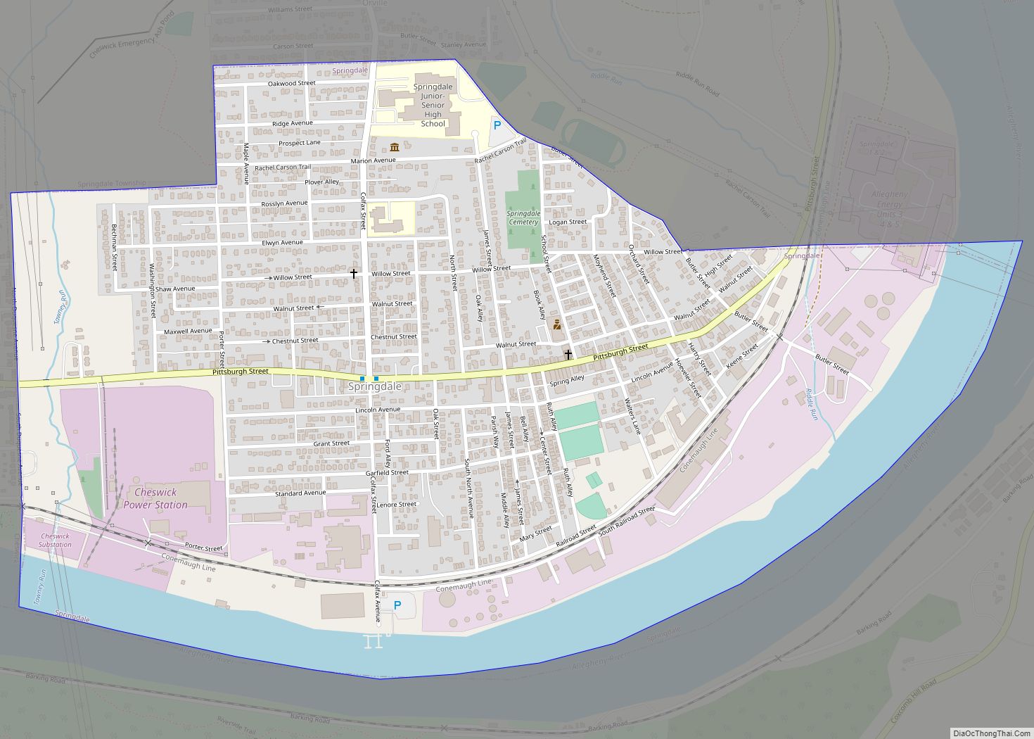
Springdale is a borough in northeastern Allegheny County, Pennsylvania, United States, 18 miles (29 km) northeast of Pittsburgh along the Allegheny River. The population was 3,400 at the 2020 census. Springdale was founded around the 1730’s by the Shawnee and was originally named “Sewickley Old Town”. Springdale borough overview: Name: Springdale borough LSAD Code: 21 LSAD ... Read more
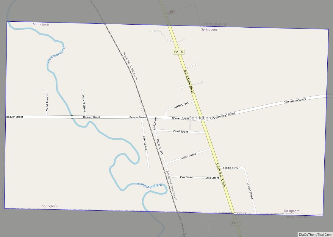
Springboro is a borough in Crawford County, Pennsylvania, United States, located 35 miles southwest of Erie. The population was 377 at the 2020 census, down from 477 at the 2010 census. Springboro borough overview: Name: Springboro borough LSAD Code: 21 LSAD Description: borough (suffix) State: Pennsylvania County: Crawford County Founded: 1800 Total Area: 0.83 sq mi (2.15 km²) ... Read more
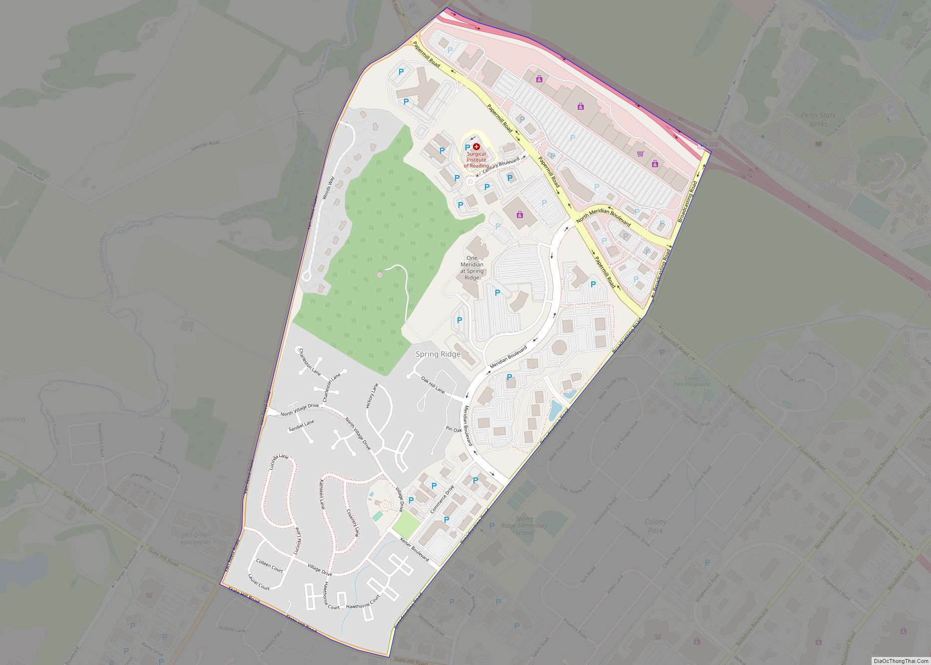
Spring Ridge is a census-designated place (CDP) in Spring Township, Berks County, Pennsylvania, United States. The population was 1,003 at the 2010 census. Spring Ridge CDP overview: Name: Spring Ridge CDP LSAD Code: 57 LSAD Description: CDP (suffix) State: Pennsylvania County: Berks County Elevation: 436 ft (133 m) Total Area: 0.9 sq mi (2 km²) Land Area: 0.9 sq mi (2 km²) Water ... Read more
