South Waverly is a borough in Bradford County, Pennsylvania, United States. It is part of Northeastern Pennsylvania. The population was 1,070 at the 2020 census. South Waverly is part of the Penn-York Valley (called “The Valley”), a group of four contiguous communities in New York and Pennsylvania: Waverly, New York, South Waverly, Sayre, and Athens, with a combined population near 30,000.
| Name: | South Waverly borough |
|---|---|
| LSAD Code: | 21 |
| LSAD Description: | borough (suffix) |
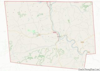
| State: | Pennsylvania |
| County: | Bradford County |
| Incorporated: | 1878 |
| Elevation: | 840 ft (260 m) |
| Total Area: | 0.88 sq mi (2.28 km²) |
| Land Area: | 0.88 sq mi (2.27 km²) |
| Water Area: | 0.00 sq mi (0.01 km²) |
| Total Population: | 1,070 |
| Population Density: | 1,143.51/sq mi (441.43/km²) |
| Area code: | 570 |
| FIPS code: | 4272592 |
Online Interactive Map
Click on ![]() to view map in "full screen" mode.
to view map in "full screen" mode.
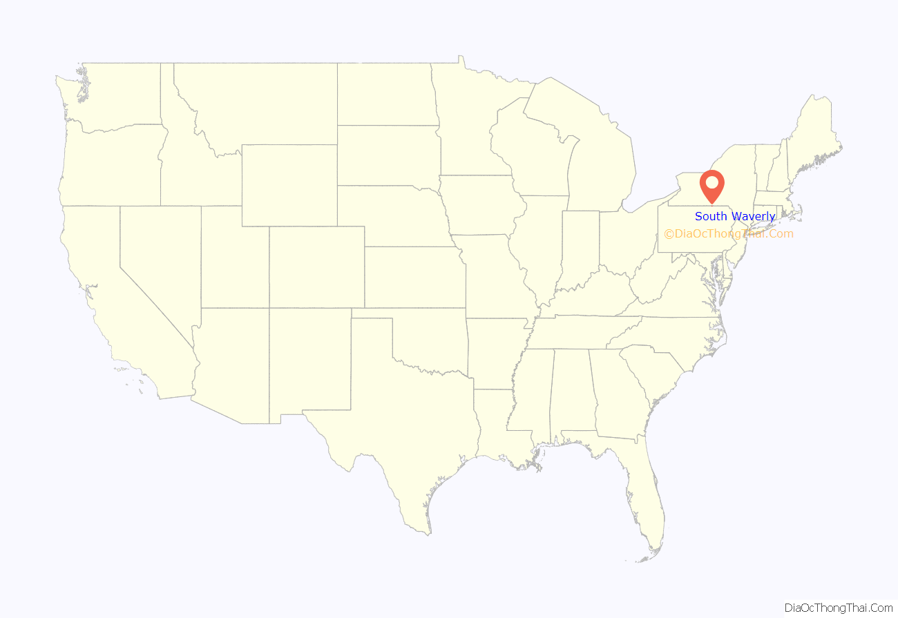
South Waverly location map. Where is South Waverly borough?

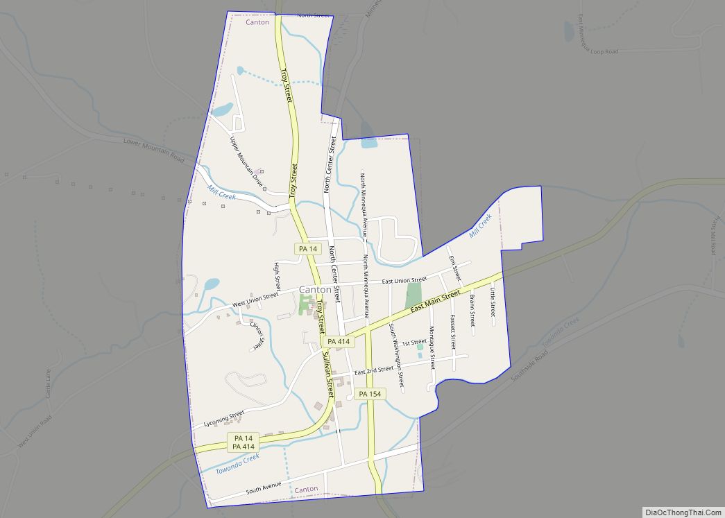
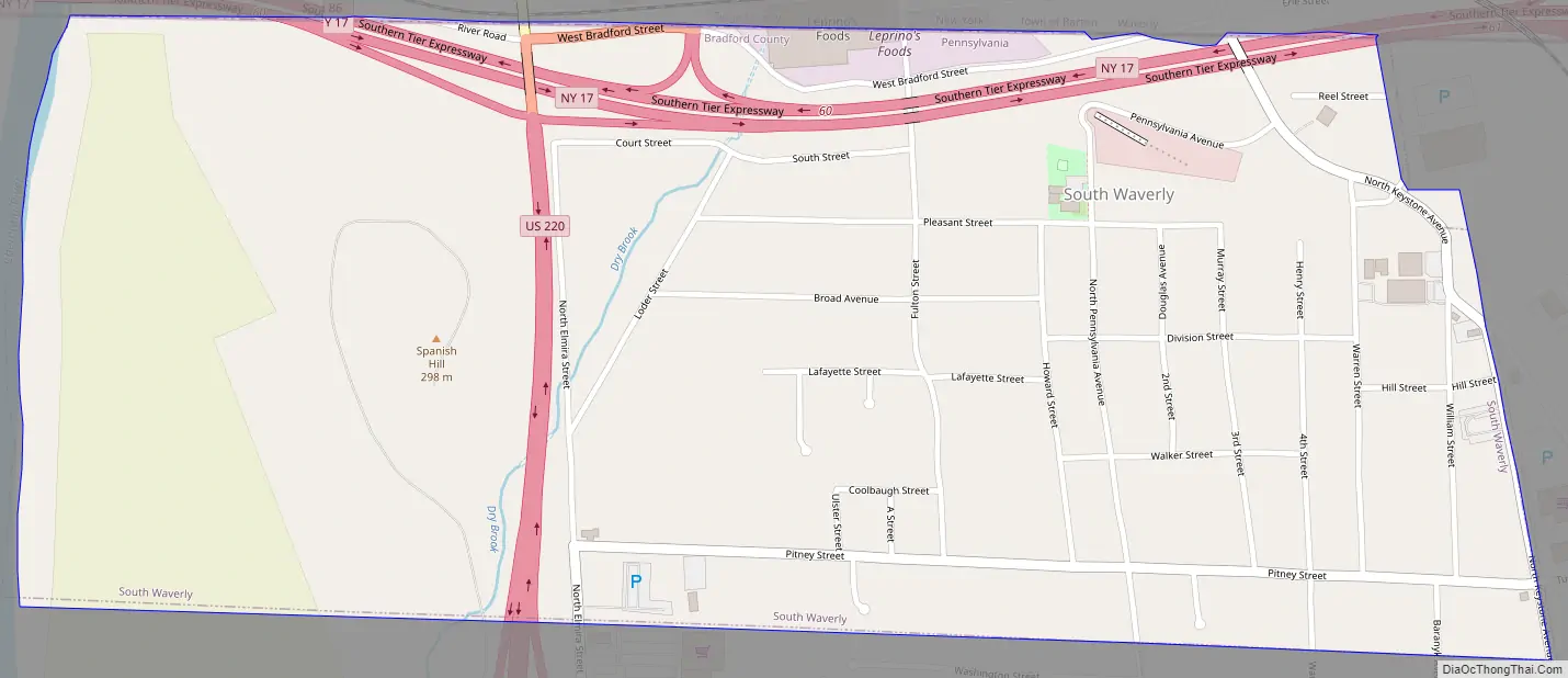
South Waverly Road Map
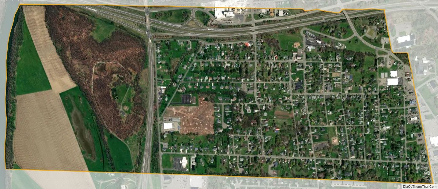
South Waverly city Satellite Map
Geography
South Waverly is located in Bradford County along the New York state line at 41°59′44″N 76°32′24″W / 41.99556°N 76.54000°W / 41.99556; -76.54000 (41.995606, -76.540014). It is bordered to the west by the Chemung River, a few miles north of its confluence with the Susquehanna River. To the north in Tioga County, New York, is the village of Waverly. To the east and south is the borough of Sayre.
Interstate 86, maintained by New York State despite being in Pennsylvania, runs through the northern edge of South Waverly, leading west 16 miles (26 km) to Elmira, New York, and east (as New York State Route 17) 40 miles (64 km) to Binghamton. The northern terminus of U.S. Route 220 is in South Waverly at I-86; US-220 leads south 18 miles (29 km) to Towanda and 85 miles (137 km) to Williamsport. South Waverly is approximately 75 miles (121 km) northwest of Waverly via U.S. Route 220 and U.S. Route 6.
According to the U.S. Census Bureau, the borough has a total area of 0.89 square miles (2.3 km), of which 0.004 square miles (0.01 km), or 0.43%, is water.
See also
Map of Pennsylvania State and its subdivision:- Adams
- Allegheny
- Armstrong
- Beaver
- Bedford
- Berks
- Blair
- Bradford
- Bucks
- Butler
- Cambria
- Cameron
- Carbon
- Centre
- Chester
- Clarion
- Clearfield
- Clinton
- Columbia
- Crawford
- Cumberland
- Dauphin
- Delaware
- Elk
- Erie
- Fayette
- Forest
- Franklin
- Fulton
- Greene
- Huntingdon
- Indiana
- Jefferson
- Juniata
- Lackawanna
- Lancaster
- Lawrence
- Lebanon
- Lehigh
- Luzerne
- Lycoming
- Mc Kean
- Mercer
- Mifflin
- Monroe
- Montgomery
- Montour
- Northampton
- Northumberland
- Perry
- Philadelphia
- Pike
- Potter
- Schuylkill
- Snyder
- Somerset
- Sullivan
- Susquehanna
- Tioga
- Union
- Venango
- Warren
- Washington
- Wayne
- Westmoreland
- Wyoming
- York
- Alabama
- Alaska
- Arizona
- Arkansas
- California
- Colorado
- Connecticut
- Delaware
- District of Columbia
- Florida
- Georgia
- Hawaii
- Idaho
- Illinois
- Indiana
- Iowa
- Kansas
- Kentucky
- Louisiana
- Maine
- Maryland
- Massachusetts
- Michigan
- Minnesota
- Mississippi
- Missouri
- Montana
- Nebraska
- Nevada
- New Hampshire
- New Jersey
- New Mexico
- New York
- North Carolina
- North Dakota
- Ohio
- Oklahoma
- Oregon
- Pennsylvania
- Rhode Island
- South Carolina
- South Dakota
- Tennessee
- Texas
- Utah
- Vermont
- Virginia
- Washington
- West Virginia
- Wisconsin
- Wyoming