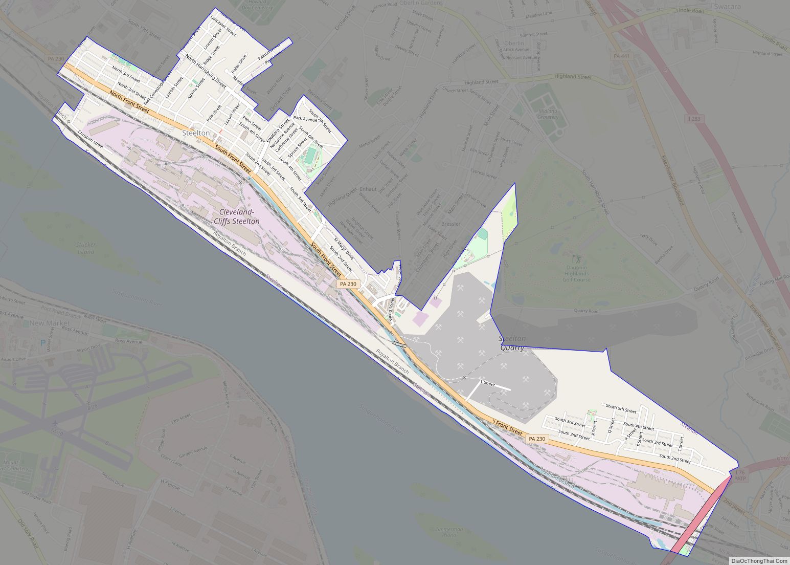
Steelton is a borough in Dauphin County, Pennsylvania, United States, 4 miles (6 km) southeast of Harrisburg. The population was 6,263 at the 2020 census. The borough is part of the Harrisburg–Carlisle Metropolitan Statistical Area. Steelton borough overview: Name: Steelton borough LSAD Code: 21 LSAD Description: borough (suffix) State: Pennsylvania County: Dauphin County Incorporated: 1880 Elevation: ... Read more
Pennsylvania Cities and Places
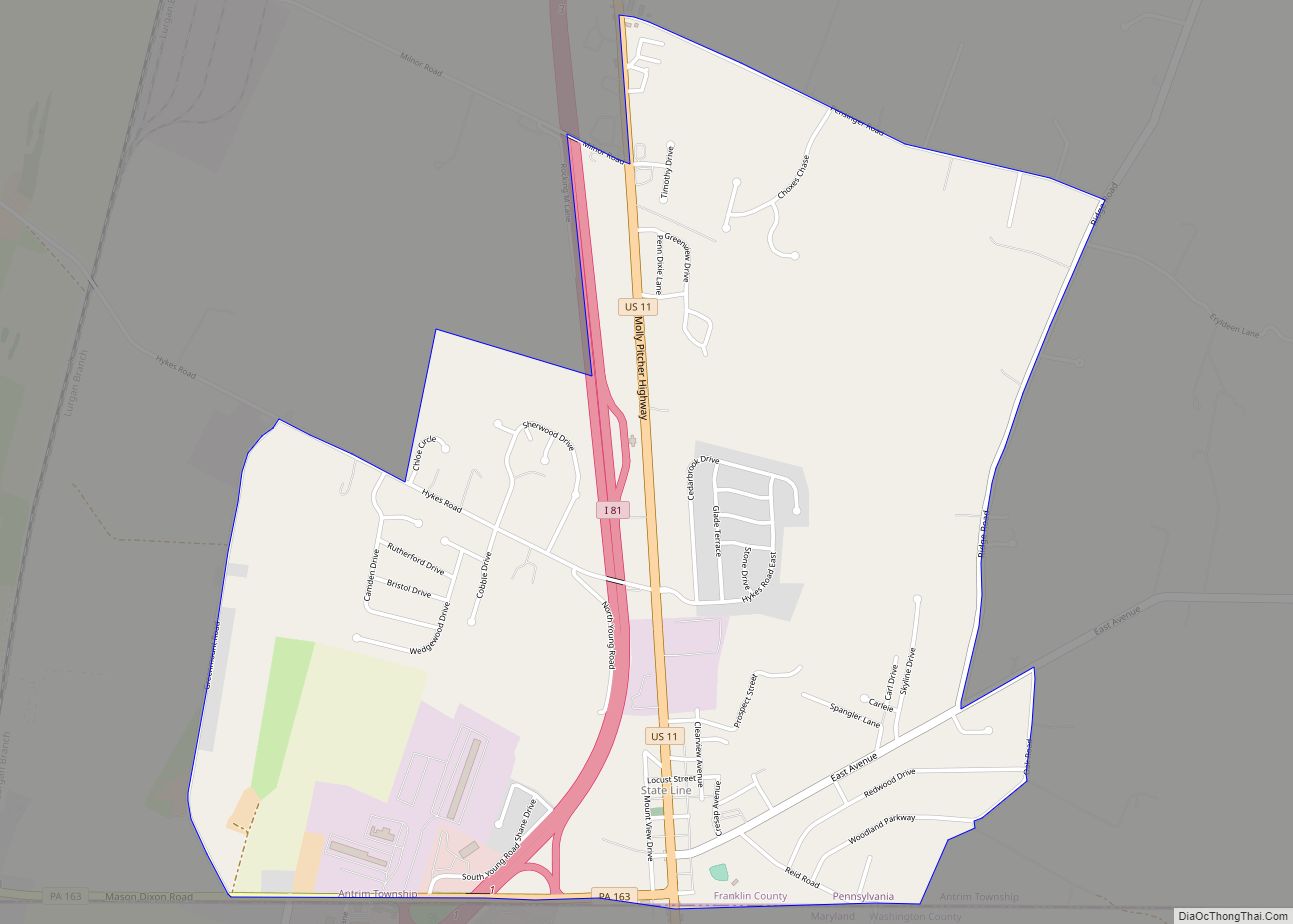
State Line is an unincorporated community and census-designated place (CDP) in Antrim Township, Franklin County, Pennsylvania, United States. It is next to the Maryland state line along Interstate 81 and U.S. Route 11 between Hagerstown, Maryland, and Greencastle. As of the 2020 census the population was 2,804. State Line was originally called Middleburg, and under ... Read more
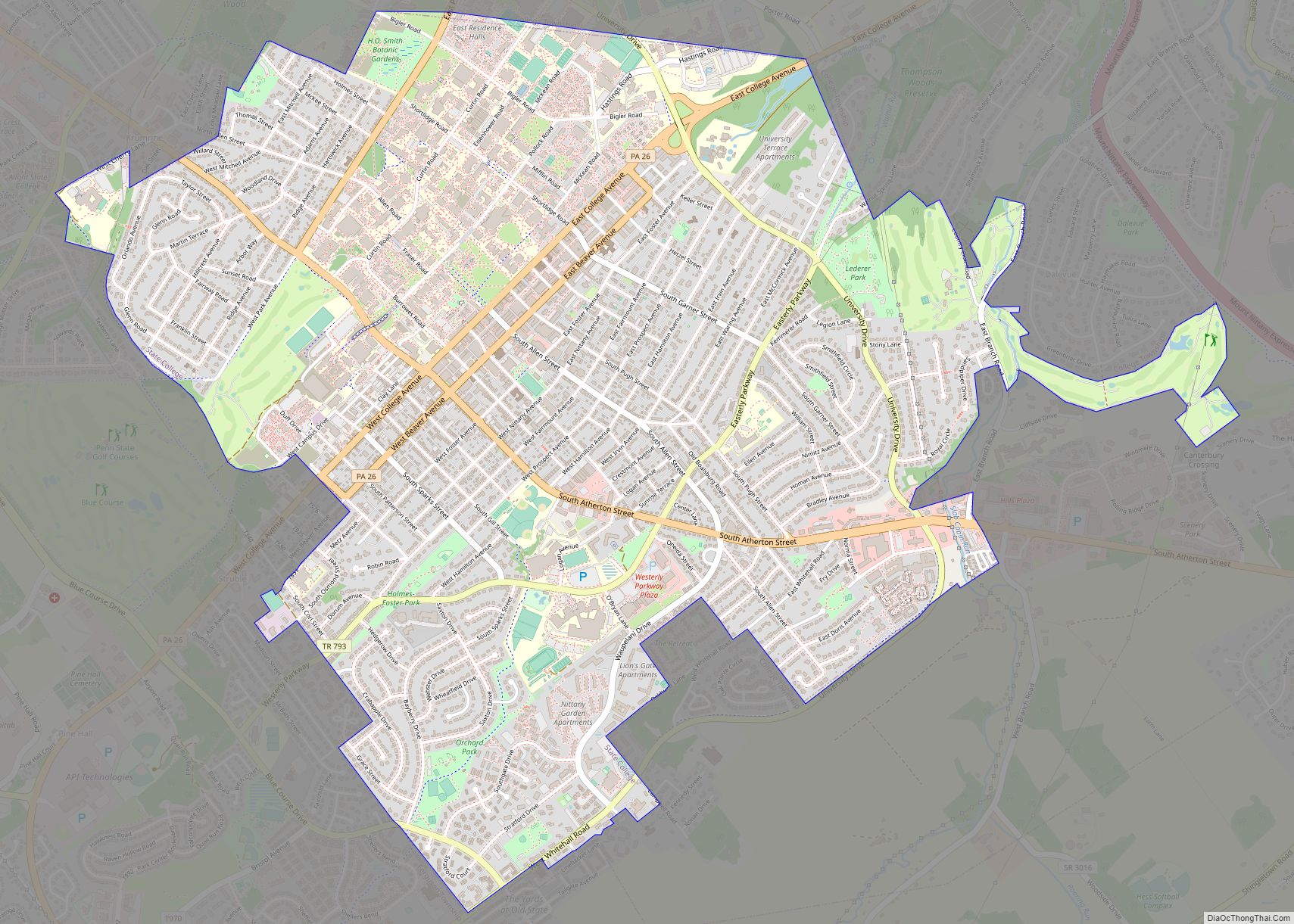
State College is a home rule municipality in Centre County, Pennsylvania, United States. It is a college town, dominated economically, culturally, and demographically by the presence of the University Park campus of Penn State University. State College is the largest designated borough in Pennsylvania. It is the principal borough of the six municipalities that make ... Read more
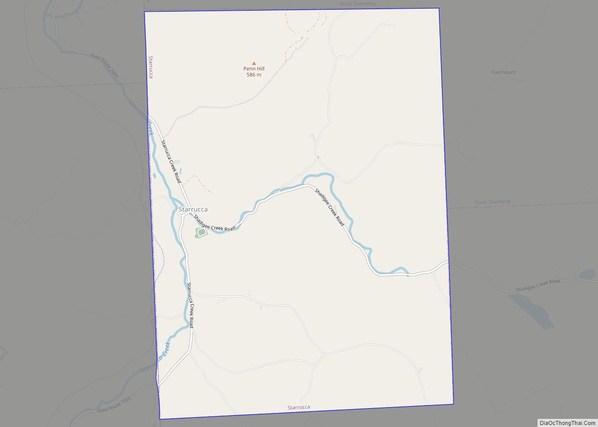
Starrucca (/ˈstrʌkə/ STRUK-ə) is a borough in Wayne County, Pennsylvania, United States. The borough’s population was 173 at the time of the 2010 United States Census. Starrucca borough overview: Name: Starrucca borough LSAD Code: 21 LSAD Description: borough (suffix) State: Pennsylvania County: Wayne County Elevation: 1,309 ft (399 m) Total Area: 8.98 sq mi (23.27 km²) Land Area: 8.91 sq mi (23.09 km²) ... Read more
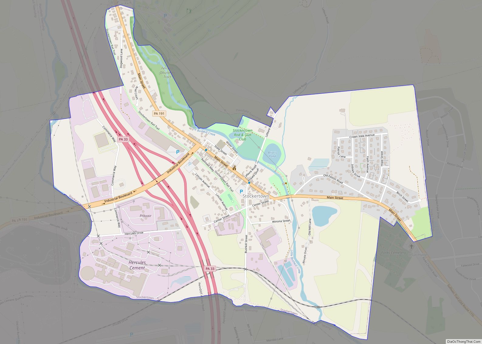
Stockertown is a borough in Northampton County, Pennsylvania. The borough’s population was 927 as of the 2010 census. It is part of the Lehigh Valley metropolitan area, which had a population of 861,899 and was the 68th most populous metropolitan area in the U.S. as of the 2010 census. The borough contains large industries such ... Read more
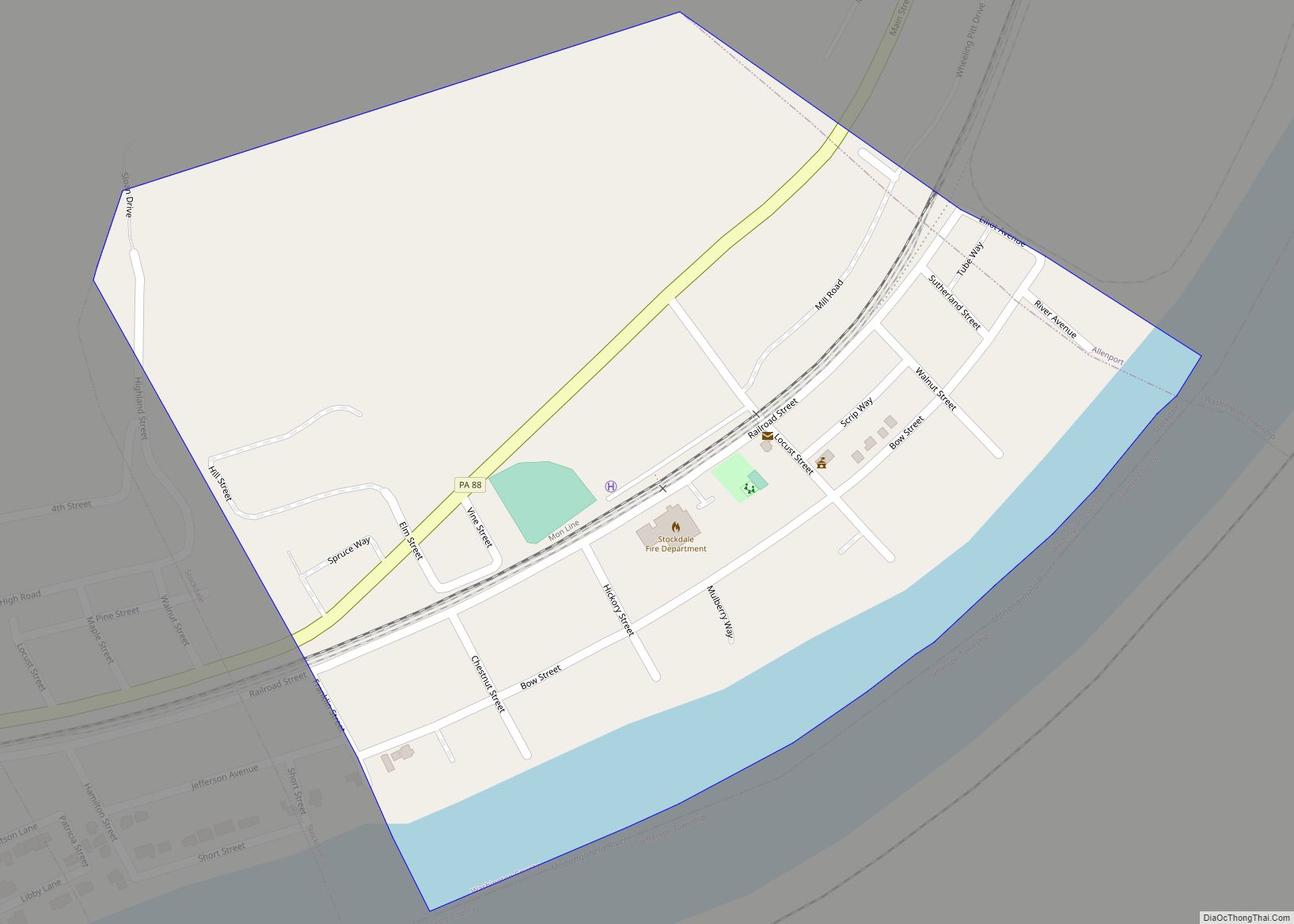
Stockdale is a borough in Washington County, Pennsylvania, United States. The population was 424 at the 2020 census. Stockdale borough overview: Name: Stockdale borough LSAD Code: 21 LSAD Description: borough (suffix) State: Pennsylvania County: Washington County Total Area: 0.29 sq mi (0.76 km²) Land Area: 0.26 sq mi (0.67 km²) Water Area: 0.04 sq mi (0.09 km²) Total Population: 424 Population Density: 1,934.11/sq mi (747.71/km²) ... Read more
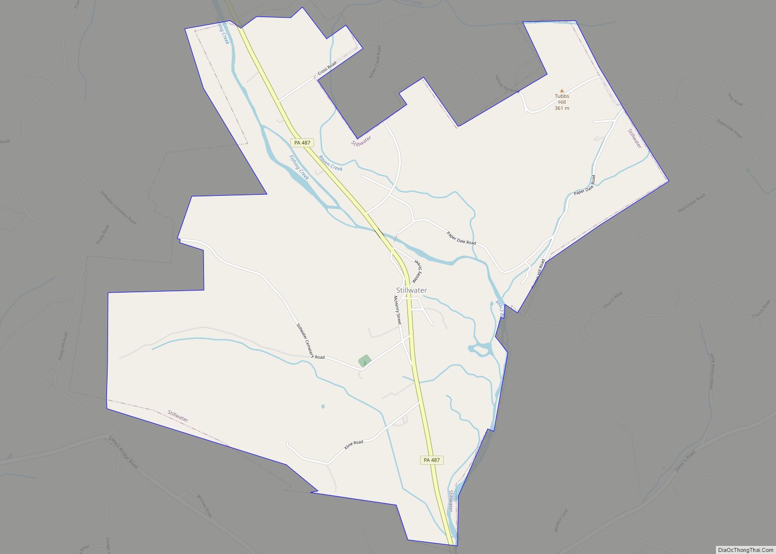
Stillwater is a borough in Columbia County, Pennsylvania, United States. It is part of Northeastern Pennsylvania. The population was 200 at the 2020 census. It is part of the Bloomsburg-Berwick micropolitan area. Stillwater borough overview: Name: Stillwater borough LSAD Code: 21 LSAD Description: borough (suffix) State: Pennsylvania County: Columbia County Elevation: 710 ft (220 m) Total Area: ... Read more
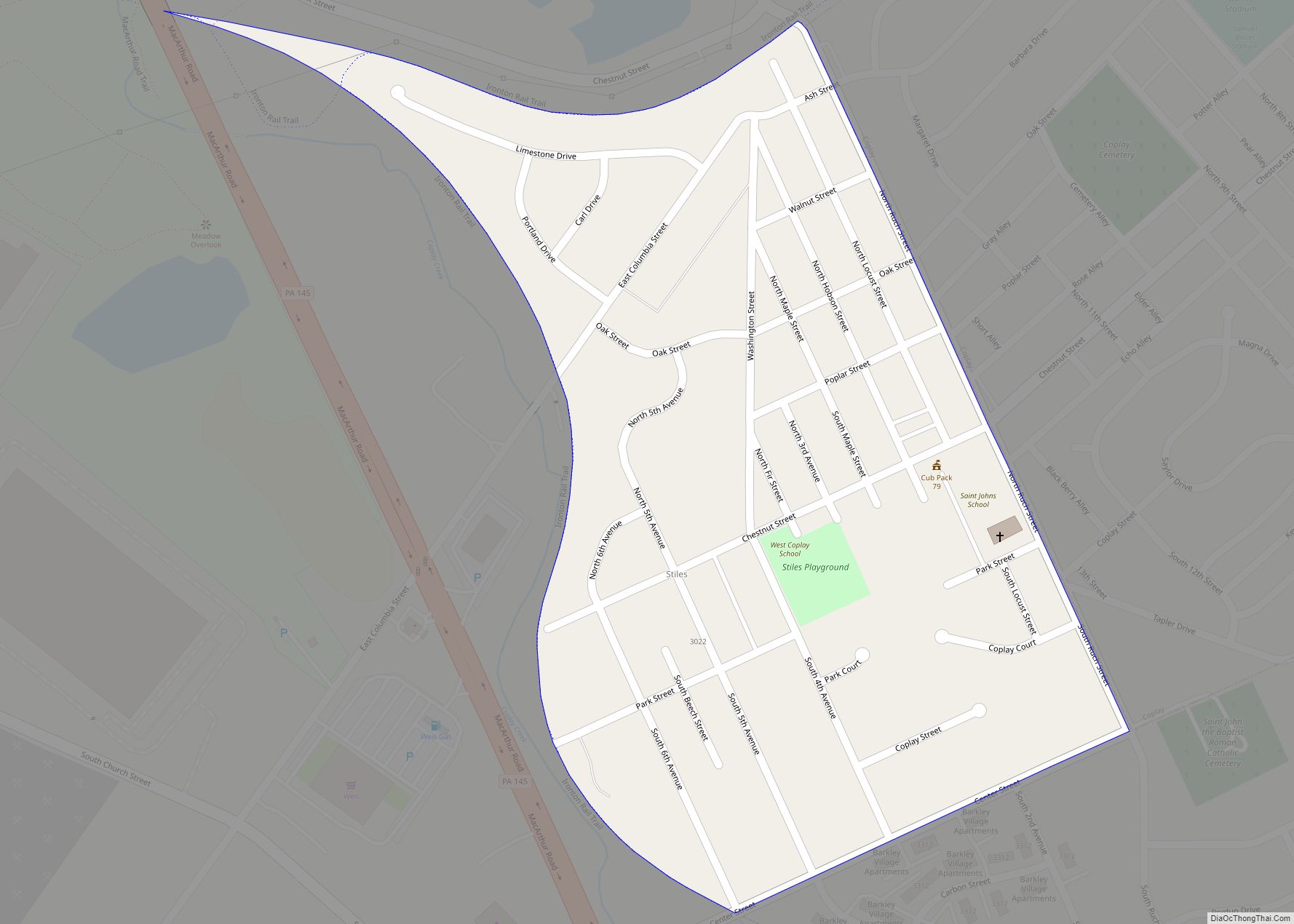
Stiles is an unincorporated community and census-designated place (CDP) in Whitehall Township in Lehigh County, Pennsylvania. As of the 2010 census, the population was 1,113. Stiles is part of the Lehigh Valley, which had a population of 861,899 and was the 68th-most populous metropolitan area in the U.S. as of the 2020 census. It uses ... Read more
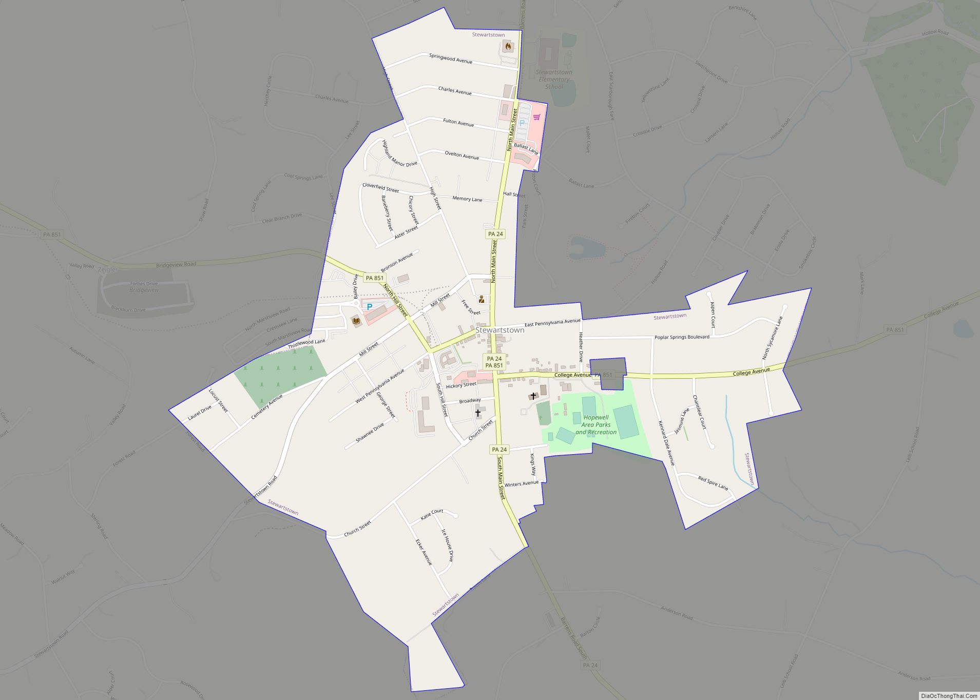
Stewartstown is a borough in York County, Pennsylvania, United States. The population was 2,125 at the 2020 census. Stewartstown borough overview: Name: Stewartstown borough LSAD Code: 21 LSAD Description: borough (suffix) State: Pennsylvania County: York County Founded: 1767 Elevation: 870.1 ft (265.2 m) Total Area: 0.84 sq mi (2.18 km²) Land Area: 0.84 sq mi (2.18 km²) Water Area: 0.00 sq mi (0.00 km²) Total Population: ... Read more
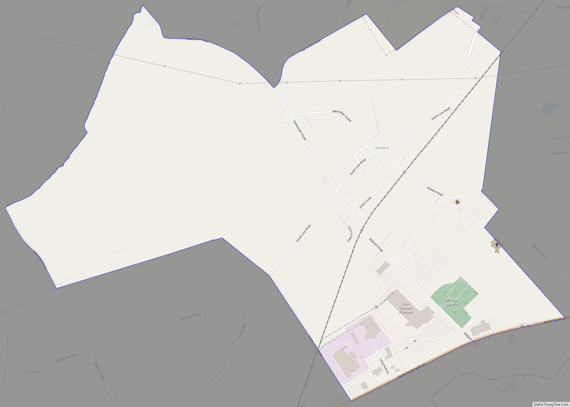
Stevens is an unincorporated community and census-designated place (CDP) in Lancaster County, Pennsylvania, United States. As of the 2010 census, it had a population of 612. The Stevens post office has ZIP code 17578. The community was named in honor of Thaddeus Stevens. It was originally also called “Reamstown Station”, due to its being the ... Read more
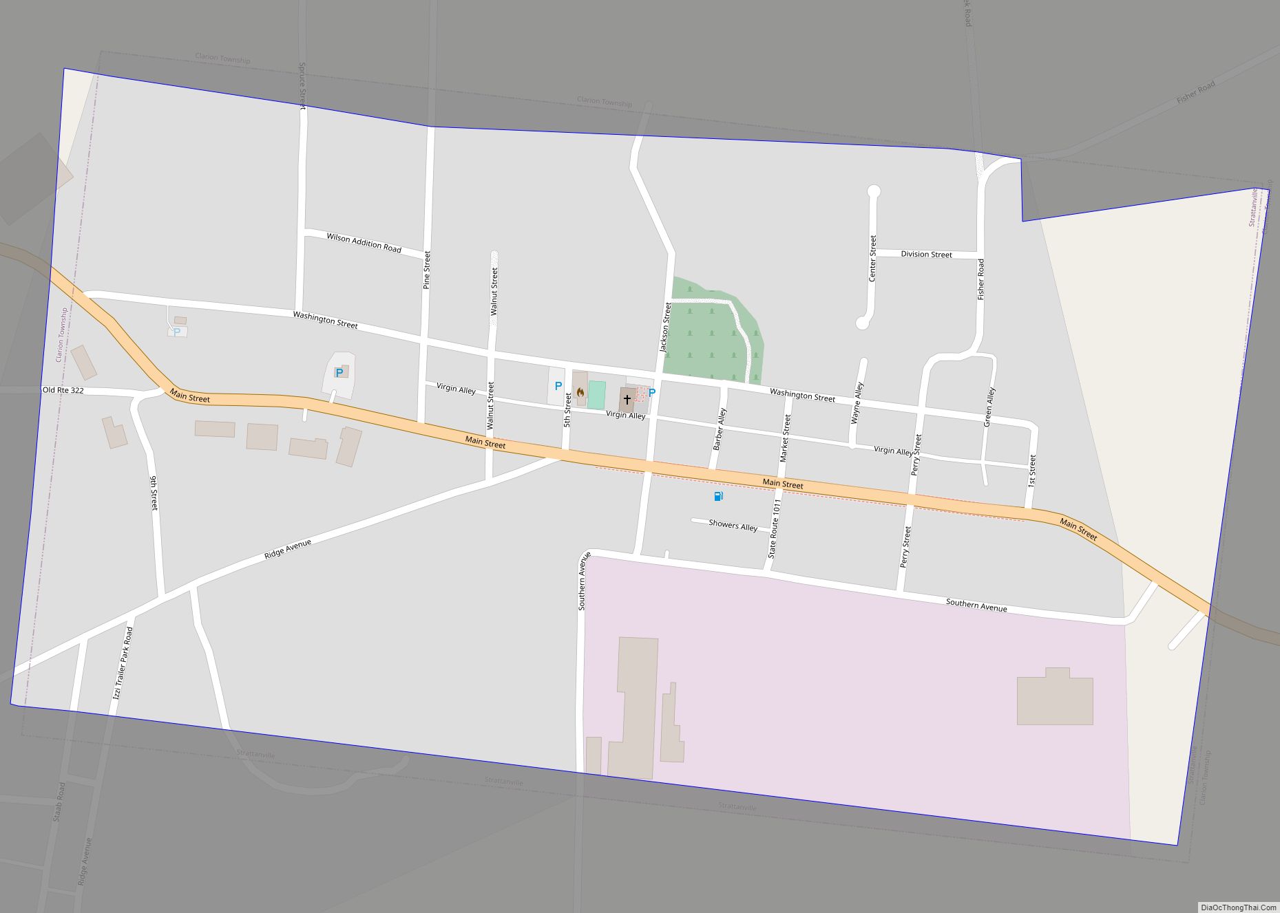
Strattanville is a borough in Clarion County, Pennsylvania, United States. The population was 537 at the 2020 census. Strattanville borough overview: Name: Strattanville borough LSAD Code: 21 LSAD Description: borough (suffix) State: Pennsylvania County: Clarion County Incorporated: 1850 Elevation: 1,531 ft (467 m) Total Area: 0.50 sq mi (1.30 km²) Land Area: 0.50 sq mi (1.30 km²) Water Area: 0.00 sq mi (0.00 km²) Total Population: ... Read more
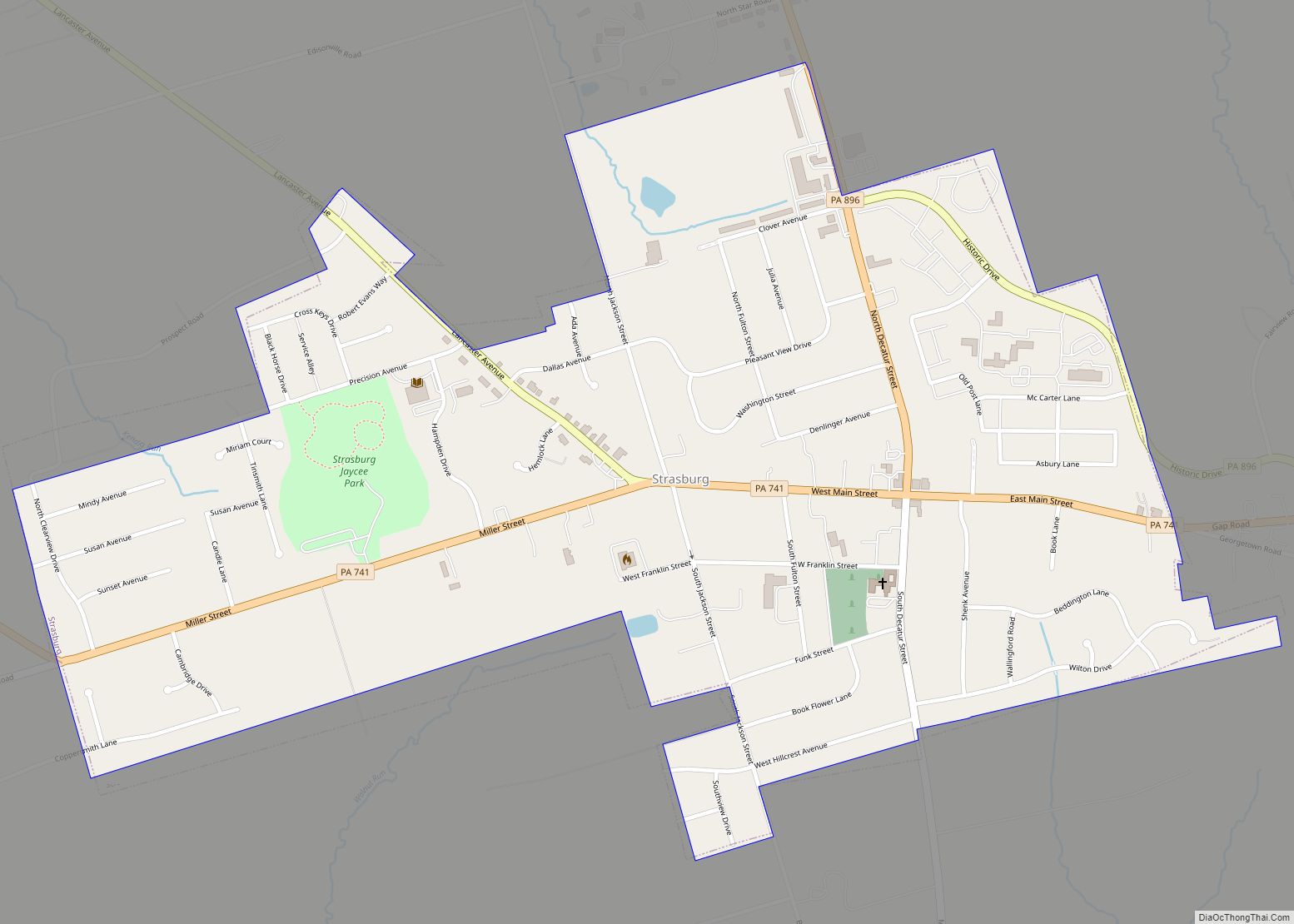
Strasburg is a borough in Lancaster County, Pennsylvania, United States. It developed as a linear village stretching approximately 2 miles (3 km) along the Great Conestoga Road, later known as the Strasburg Road. The population was 3,117 at the 2020 census. The town was named after the French city of Strasbourg, the native home of an ... Read more
