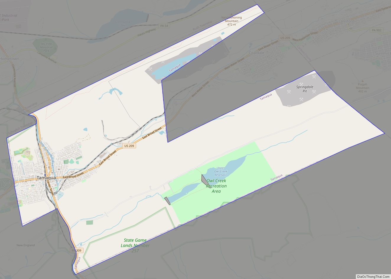
Tamaqua (/təˈmɑːkwə/, Delaware: tëmakwe) is a borough in eastern Schuylkill County in the Coal Region of Pennsylvania, United States. It had a population of 6,934 as of the 2020 U.S. census. Tamaqua was established from territory from West Penn and Schuylkill Townships. The borough is part of the micropolitan statistical area of Pottsville. Tamaqua is ... Read more
Pennsylvania Cities and Places
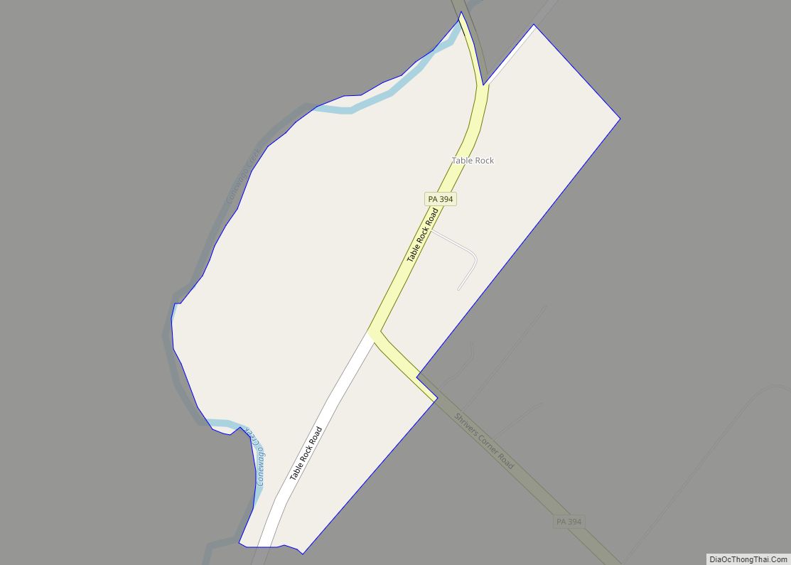
Table Rock is a populated place and census-designated place (CDP) north of Gettysburg, Pennsylvania, United States, in Adams County, that was the site of an 1885 Gettysburg and Harrisburg Railroad station. As of the 2020 census the population was 133. Table Rock CDP overview: Name: Table Rock CDP LSAD Code: 57 LSAD Description: CDP (suffix) ... Read more
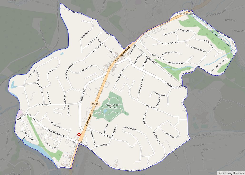
Thompsonville is a census-designated place (CDP) in Washington County, Pennsylvania, United States. The population was 3,520 at the 2010 census. Thompsonville CDP overview: Name: Thompsonville CDP LSAD Code: 57 LSAD Description: CDP (suffix) State: Pennsylvania County: Washington County Total Area: 2.1 sq mi (5 km²) Total Population: 3,520 Population Density: 1,700/sq mi (650/km²) ZIP code: 15317 Area code: 724 ... Read more
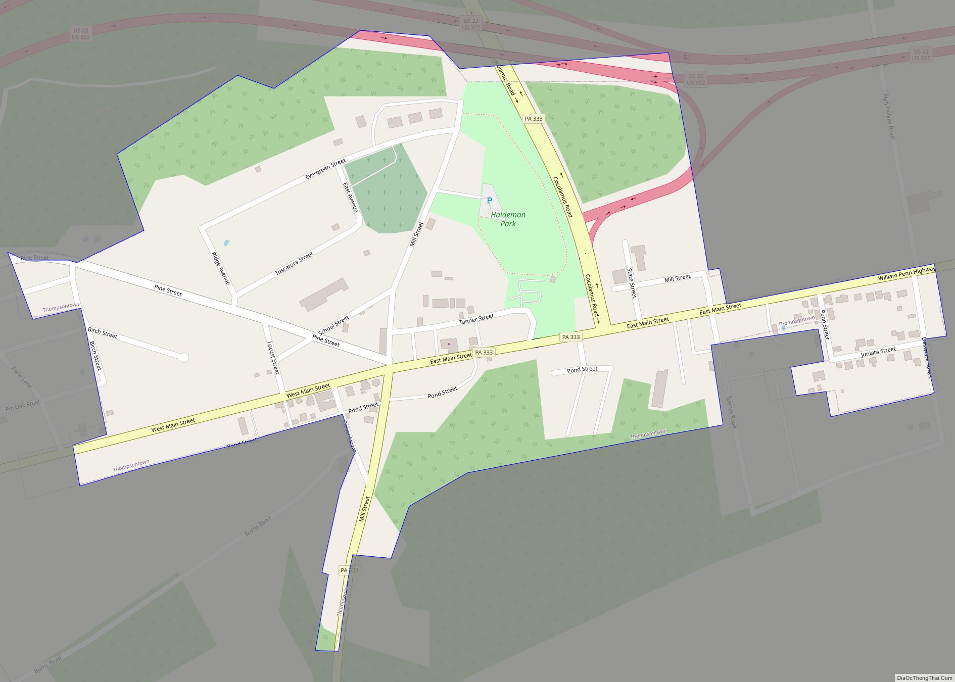
Thompsontown is a borough in Juniata County, Pennsylvania, United States. The population was 629 at the 2020 census. Thompsontown borough overview: Name: Thompsontown borough LSAD Code: 21 LSAD Description: borough (suffix) State: Pennsylvania County: Juniata County Incorporated: 1867 Total Area: 0.33 sq mi (0.84 km²) Land Area: 0.33 sq mi (0.84 km²) Water Area: 0.00 sq mi (0.00 km²) Total Population: 629 Population Density: ... Read more
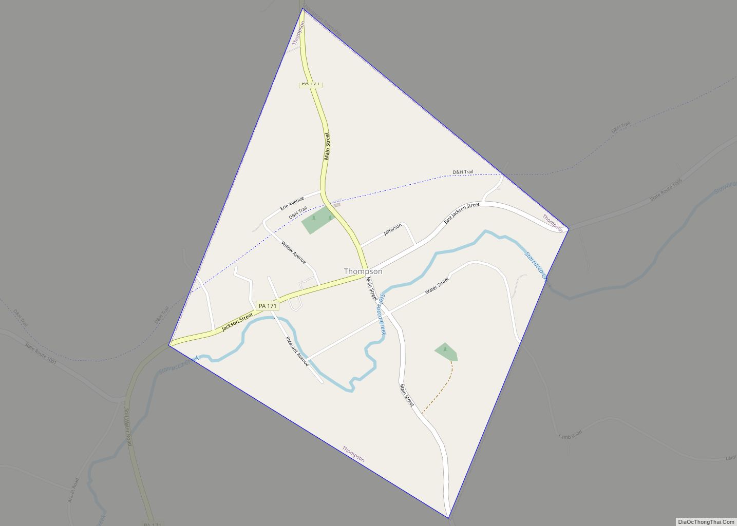
Thompson is a borough in Susquehanna County, Pennsylvania, United States. The population was 255 at the 2020 census. Thompson borough overview: Name: Thompson borough LSAD Code: 21 LSAD Description: borough (suffix) State: Pennsylvania County: Susquehanna County Incorporated: 1876 Total Area: 0.51 sq mi (1.33 km²) Land Area: 0.51 sq mi (1.33 km²) Water Area: 0.00 sq mi (0.00 km²) Total Population: 255 Population Density: ... Read more
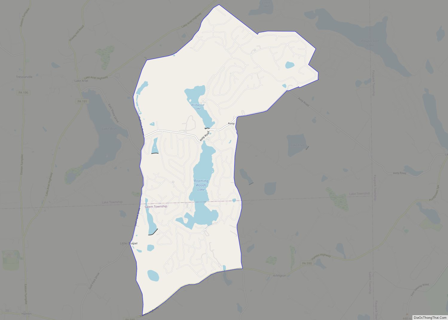
The Hideout is a private community and census-designated place (CDP) in Lake and Salem Townships in Wayne County, Pennsylvania, United States. The community’s population was 3,013 at the time of the 2010 United States Census. The Hideout CDP overview: Name: The Hideout CDP LSAD Code: 57 LSAD Description: CDP (suffix) State: Pennsylvania County: Wayne County ... Read more
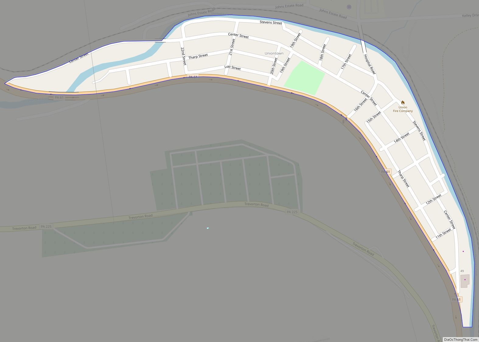
Tharptown (Uniontown) CDP overview: Name: Tharptown (Uniontown) CDP LSAD Code: 57 LSAD Description: CDP (suffix) State: Pennsylvania County: Northumberland County FIPS code: 4276432 Online Interactive Map Tharptown online map. Source: Basemap layers from Google Map, Open Street Map (OSM), Arcgisonline, Wmflabs. Boundary Data from Database of Global Administrative Areas. Tharptown location map. Where is Tharptown ... Read more
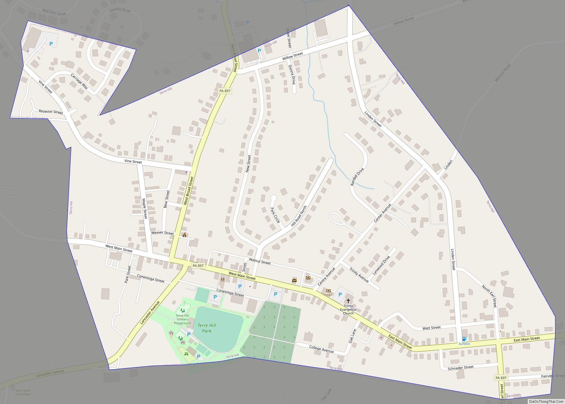
Terre Hill is a borough in Lancaster County, Pennsylvania, United States. The population was 1,363 at the 2020 census. Terre Hill borough overview: Name: Terre Hill borough LSAD Code: 21 LSAD Description: borough (suffix) State: Pennsylvania County: Lancaster County Elevation: 531 ft (162 m) Total Area: 0.46 sq mi (1.18 km²) Land Area: 0.46 sq mi (1.18 km²) Water Area: 0.00 sq mi (0.00 km²) Total ... Read more
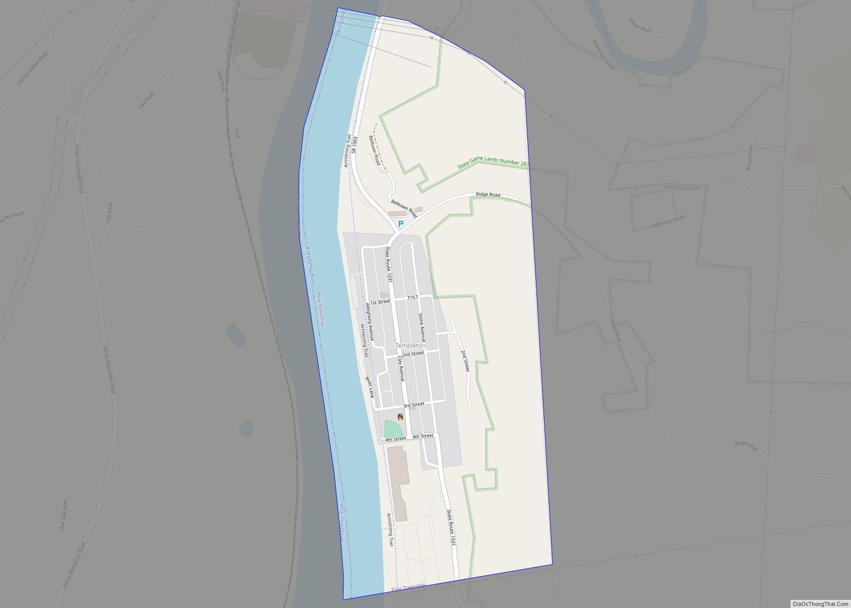
Templeton is an unincorporated community and a census-designated place in Pine Township, Armstrong County, Pennsylvania, United States. As of the 2010 census the population was 325. Templeton CDP overview: Name: Templeton CDP LSAD Code: 57 LSAD Description: CDP (suffix) State: Pennsylvania County: Armstrong County Total Area: 325 ZIP code: 16259 FIPS code: 4276336 Online Interactive ... Read more
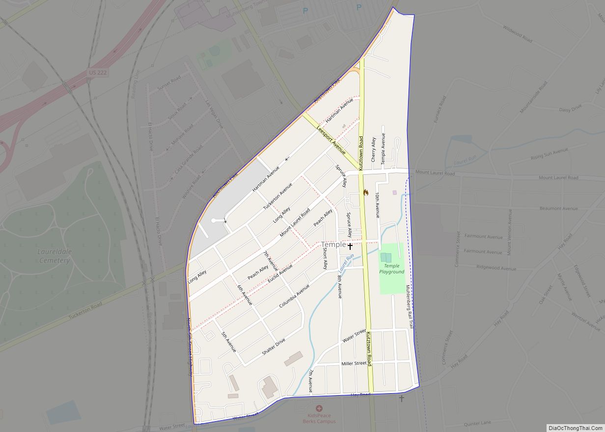
Temple is a census-designated place in Muhlenberg Township, Berks County, Pennsylvania, United States at an elevation of 361 feet (110 m). The community was named for a local inn called Solomon’s Temple. Temple was an independent borough until it was disincorporated on January 1, 1999. The ZIP code is 19560. As of the 2010 census the ... Read more
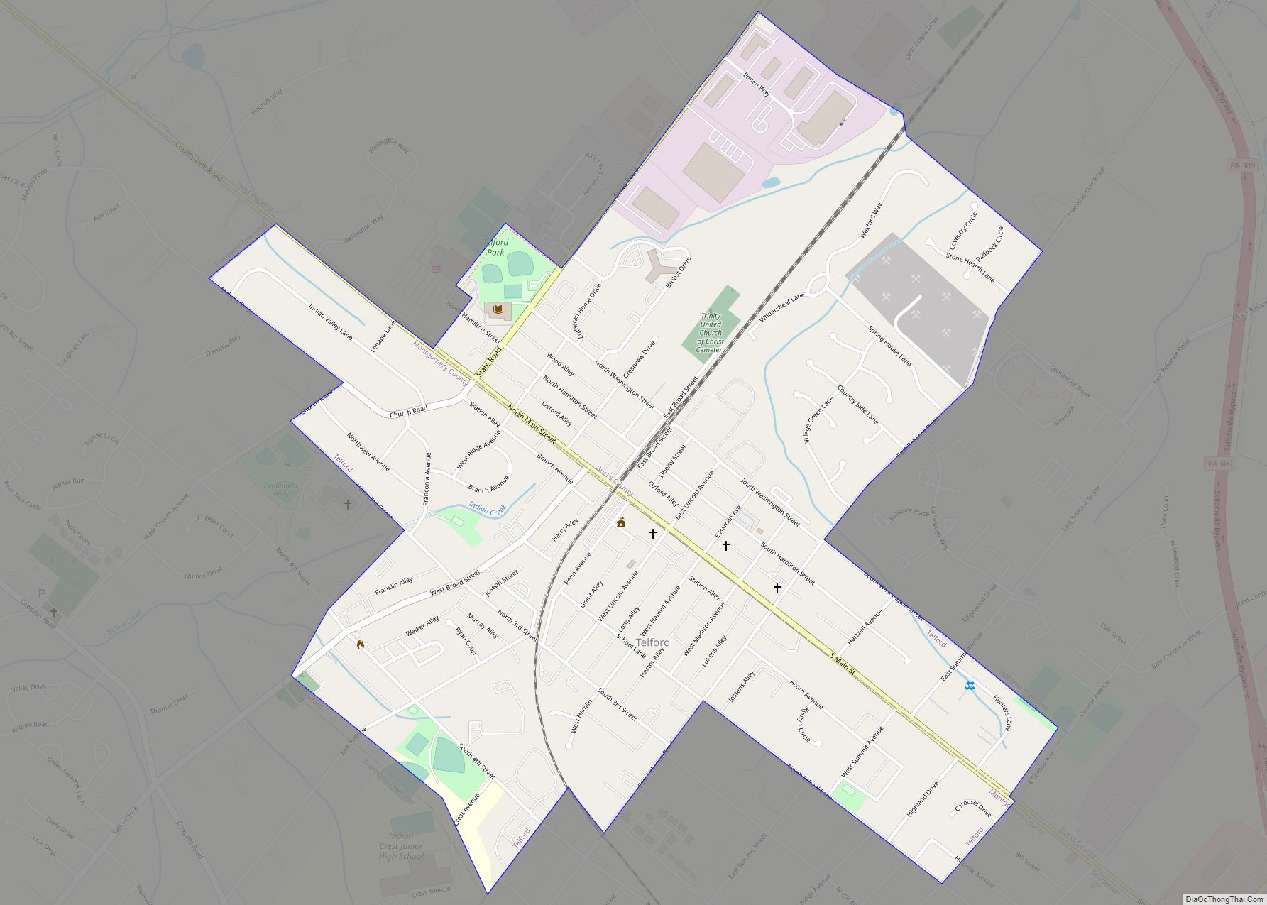
Telford is a borough in Bucks and Montgomery counties in the U.S. state of Pennsylvania. The population was 4,872 at the time of the 2010 census. Of this, 2,665 were in Montgomery County, and 2,207 were in Bucks County. Telford borough overview: Name: Telford borough LSAD Code: 21 LSAD Description: borough (suffix) State: Pennsylvania County: ... Read more
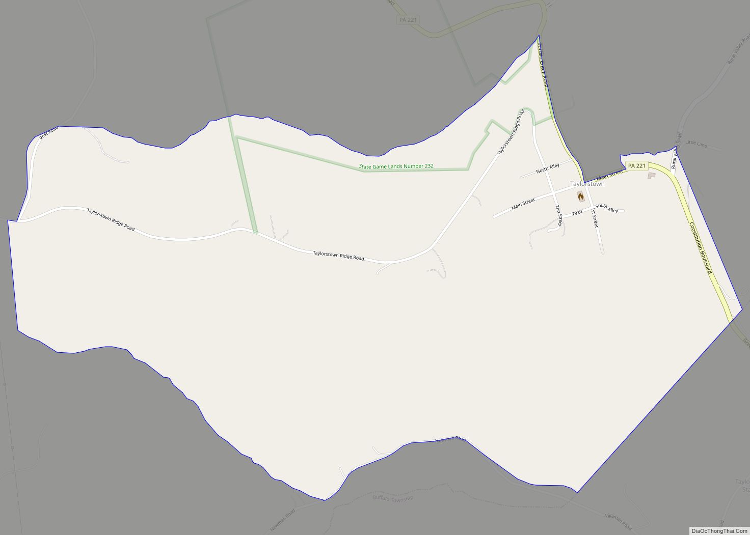
Taylorstown, Pennsylvania is a census-designated place in Blaine Township, Washington County, Pennsylvania, United States. Taylorstown has been assigned the ZIP codes 15323 and 15365. As of the 2010 census the population of Taylorstown was 217 residents. Film Director Cody Knotts, best known for Pro Wrestlers vs. Zombies, grew up here. It is home to the ... Read more
