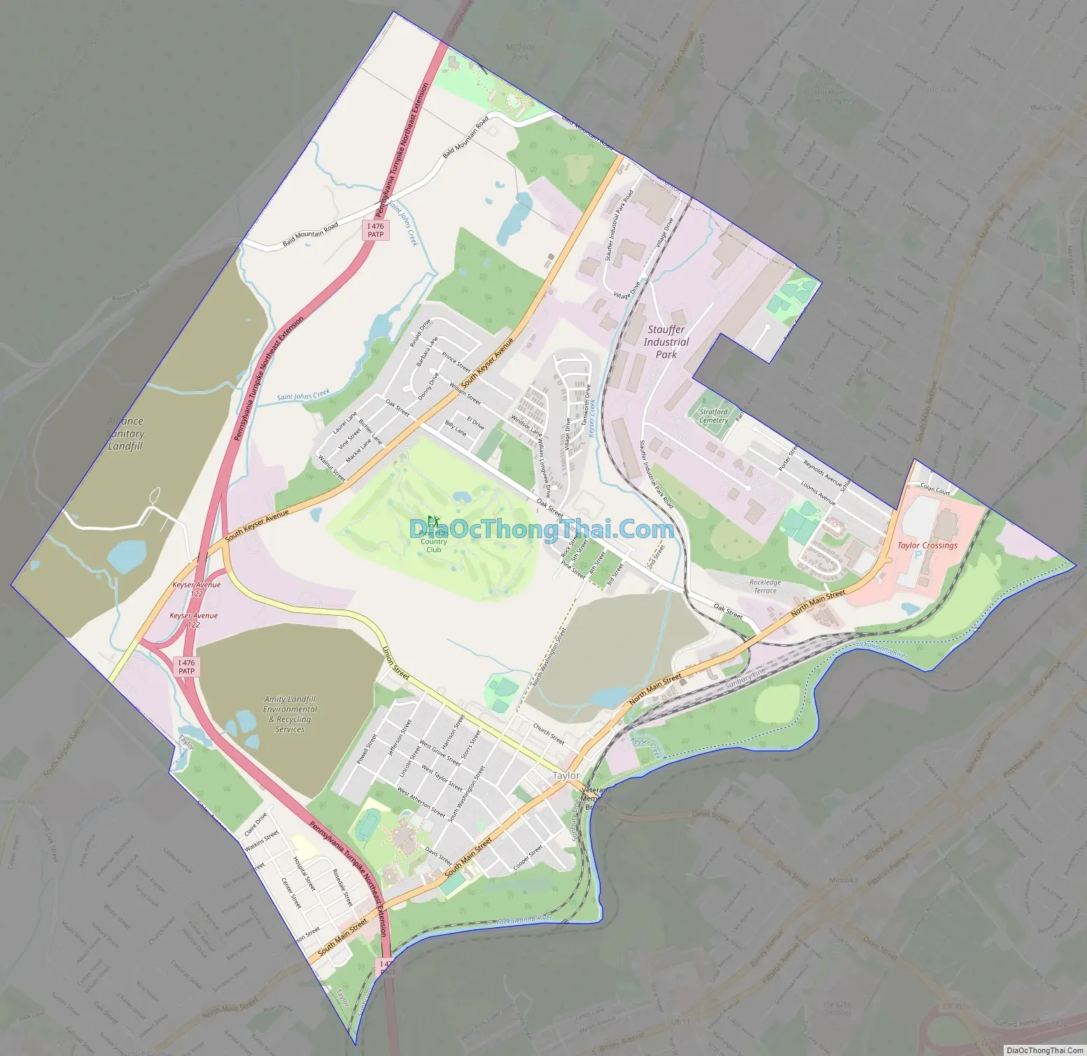
Taylor is a borough in Lackawanna County, Pennsylvania, United States, 3 miles (5 km) southwest of Scranton on the Lackawanna River. It was founded in 1790 by Cornelius Atherton. Silk manufacturing and coal mining were once practiced in the borough. Most of Taylor is built over abandoned mines. The Pennsylvania Turnpike Northeast Extension (I-476), accessible via the Keyser Avenue Interchange, passes through Taylor, going north to Clarks Summit and south to Philadelphia.
The population of Taylor at the 2020 census was 6,302.
| Name: | Taylor borough |
|---|---|
| LSAD Code: | 21 |
| LSAD Description: | borough (suffix) |
| State: | Pennsylvania |
| County: | Lackawanna County |
| Incorporated: | 1893 |
| Elevation: | 856 ft (261 m) |
| Total Area: | 5.20 sq mi (13.47 km²) |
| Land Area: | 5.20 sq mi (13.47 km²) |
| Water Area: | 0.00 sq mi (0.00 km²) |
| Total Population: | 6,302 |
| Population Density: | 1,136.68/sq mi (438.87/km²) |
| ZIP code: | 18517 |
| Area code: | 570 |
| FIPS code: | 4276184 |
| Website: | taylorborough.com |
Online Interactive Map
Click on ![]() to view map in "full screen" mode.
to view map in "full screen" mode.
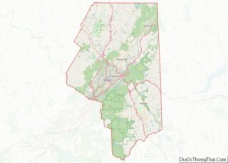
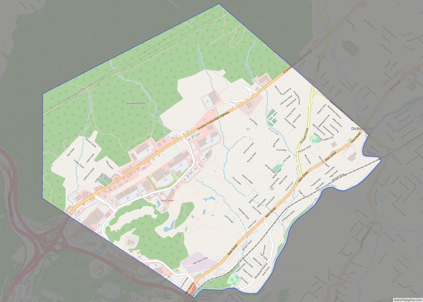
Taylor location map. Where is Taylor borough?


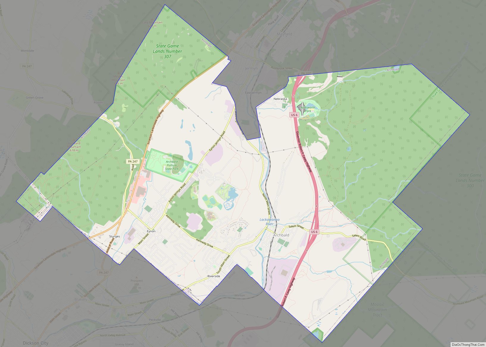
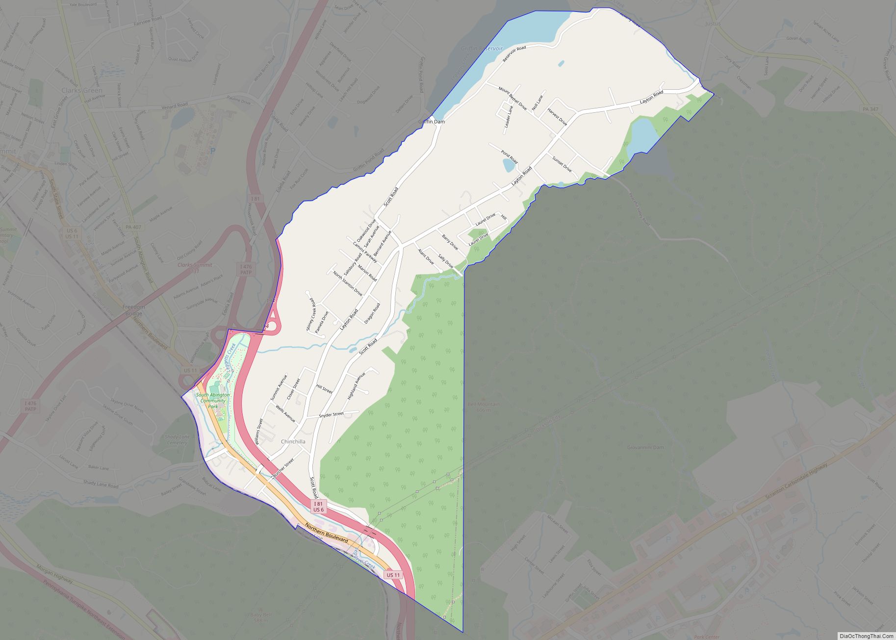
Taylor Road Map
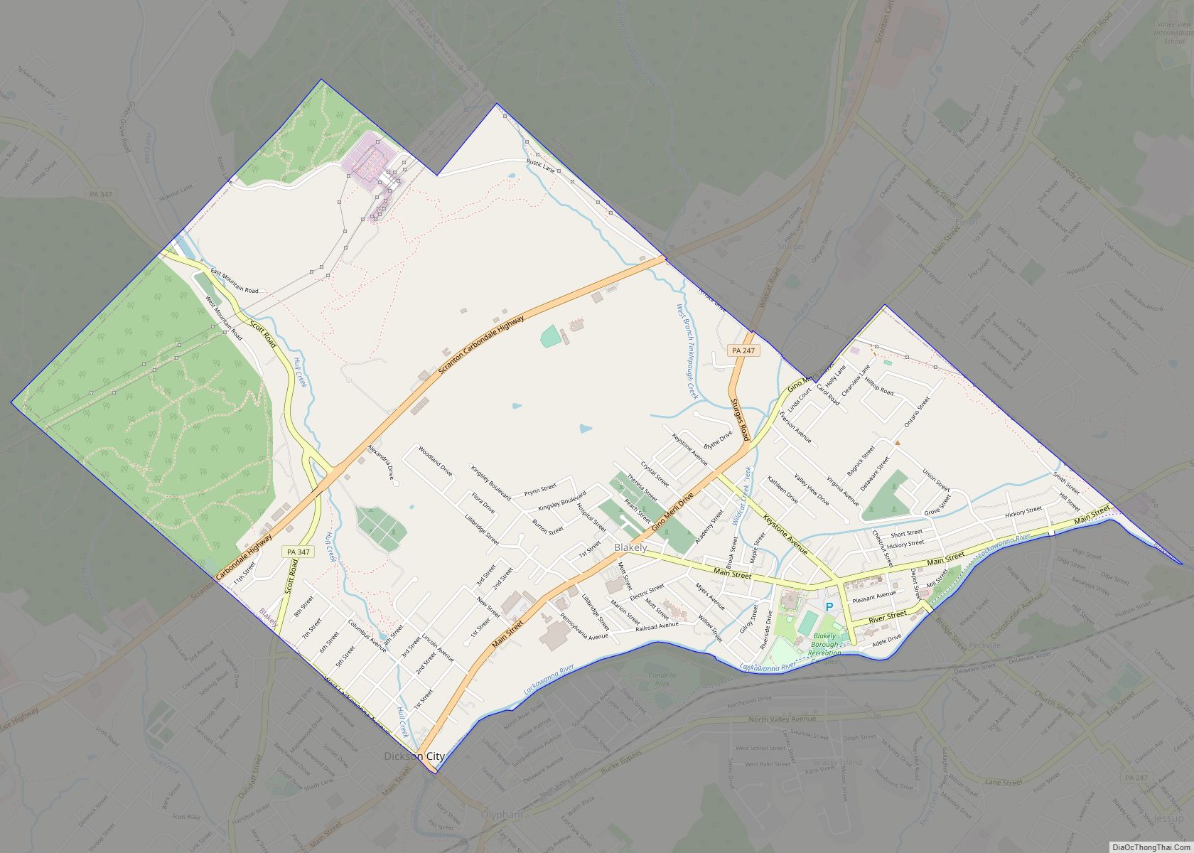
Taylor city Satellite Map
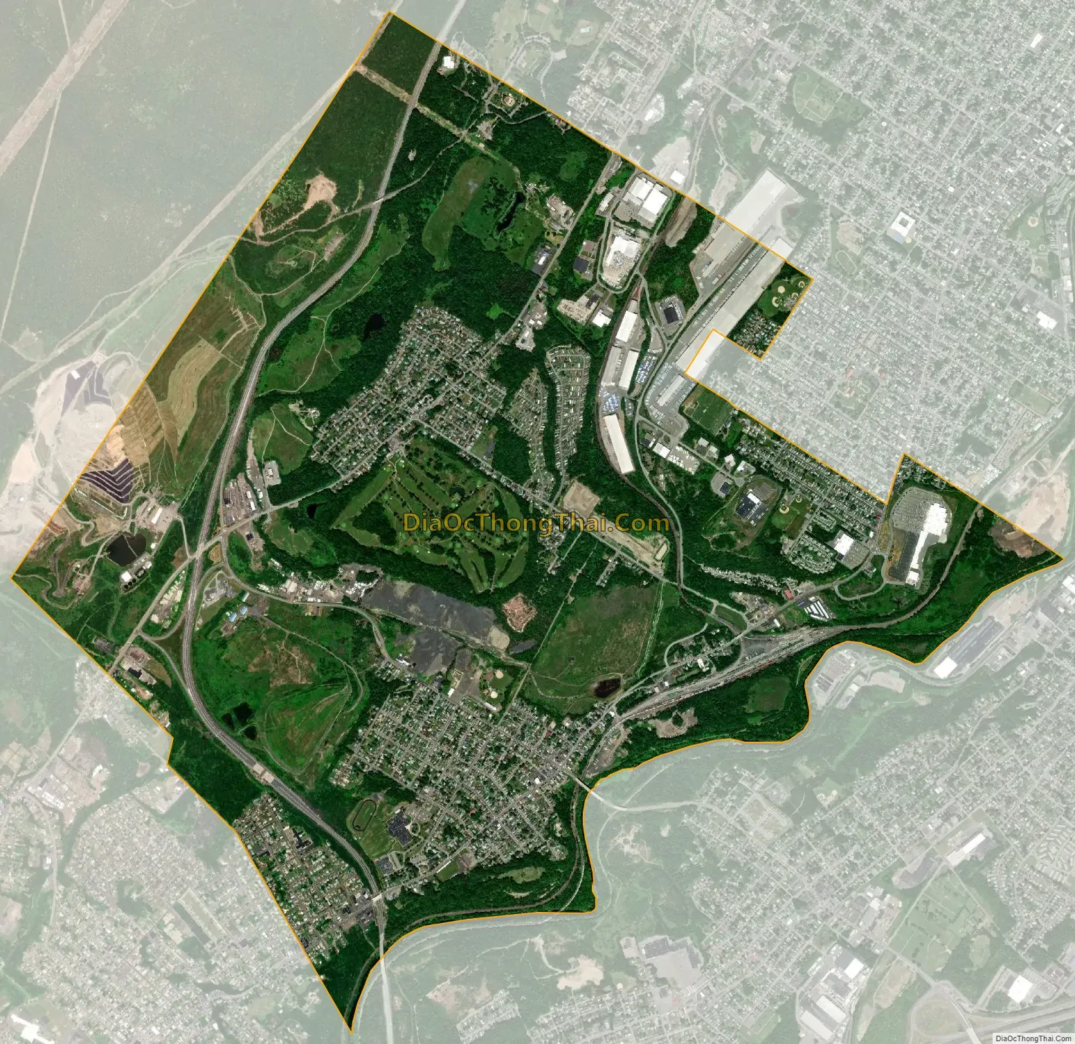
Geography
Taylor is located at 41°23′29″N 75°42′55″W / 41.39139°N 75.71528°W / 41.39139; -75.71528 (41.391279, -75.715354).
According to the United States Census Bureau, the borough has a total area of 5.2 square miles (13 km), all land.
See also
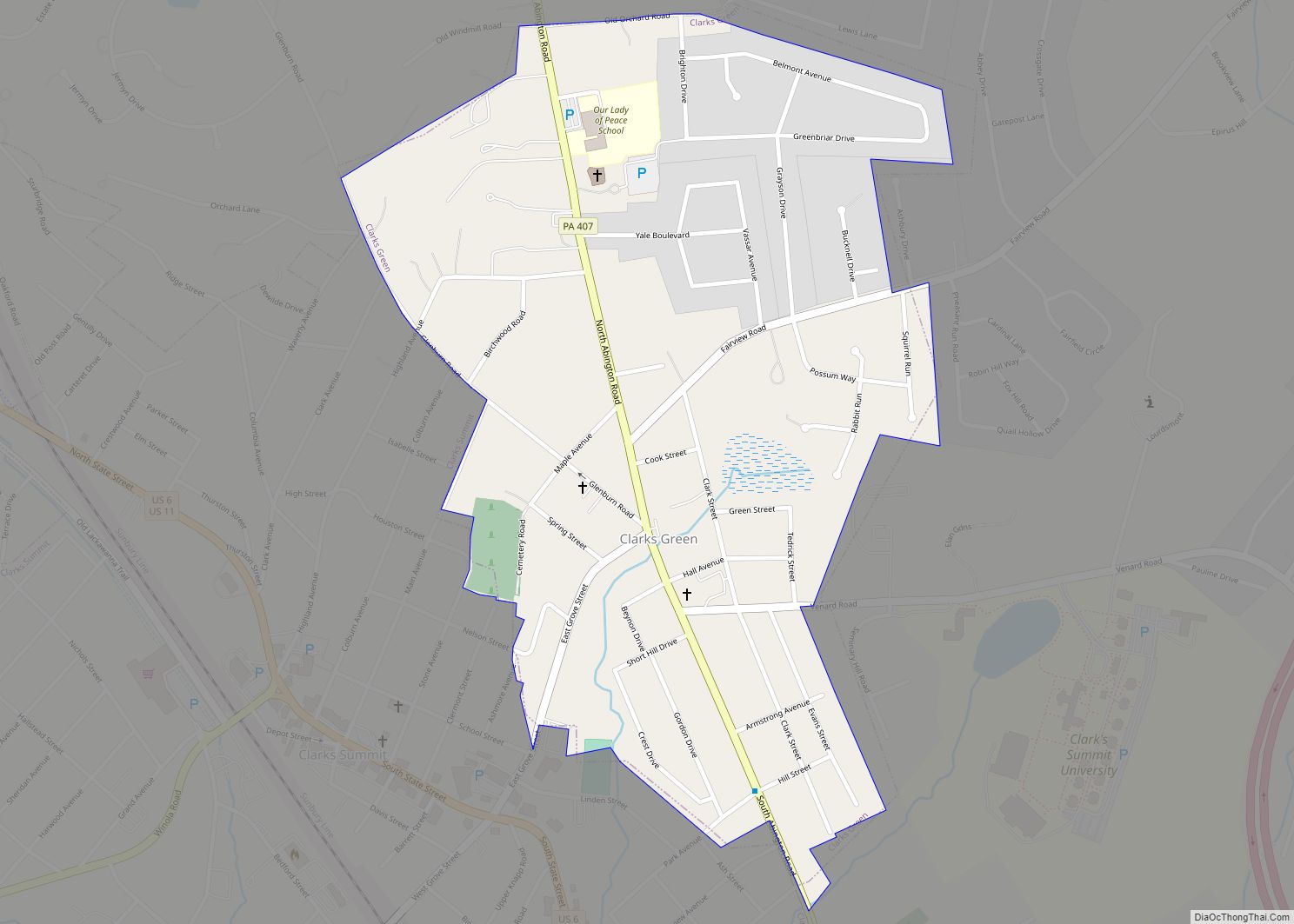
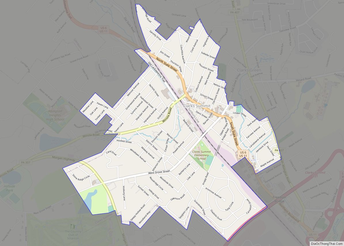
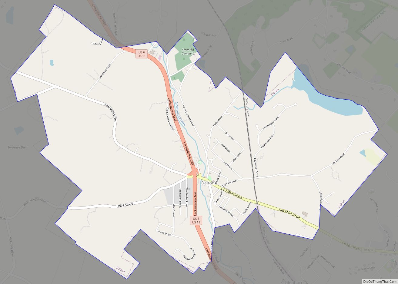
Map of Pennsylvania State and its subdivision:- Adams
- Allegheny
- Armstrong
- Beaver
- Bedford
- Berks
- Blair
- Bradford
- Bucks
- Butler
- Cambria
- Cameron
- Carbon
- Centre
- Chester
- Clarion
- Clearfield
- Clinton
- Columbia
- Crawford
- Cumberland
- Dauphin
- Delaware
- Elk
- Erie
- Fayette
- Forest
- Franklin
- Fulton
- Greene
- Huntingdon
- Indiana
- Jefferson
- Juniata
- Lackawanna
- Lancaster
- Lawrence
- Lebanon
- Lehigh
- Luzerne
- Lycoming
- Mc Kean
- Mercer
- Mifflin
- Monroe
- Montgomery
- Montour
- Northampton
- Northumberland
- Perry
- Philadelphia
- Pike
- Potter
- Schuylkill
- Snyder
- Somerset
- Sullivan
- Susquehanna
- Tioga
- Union
- Venango
- Warren
- Washington
- Wayne
- Westmoreland
- Wyoming
- York
- Alabama
- Alaska
- Arizona
- Arkansas
- California
- Colorado
- Connecticut
- Delaware
- District of Columbia
- Florida
- Georgia
- Hawaii
- Idaho
- Illinois
- Indiana
- Iowa
- Kansas
- Kentucky
- Louisiana
- Maine
- Maryland
- Massachusetts
- Michigan
- Minnesota
- Mississippi
- Missouri
- Montana
- Nebraska
- Nevada
- New Hampshire
- New Jersey
- New Mexico
- New York
- North Carolina
- North Dakota
- Ohio
- Oklahoma
- Oregon
- Pennsylvania
- Rhode Island
- South Carolina
- South Dakota
- Tennessee
- Texas
- Utah
- Vermont
- Virginia
- Washington
- West Virginia
- Wisconsin
- Wyoming