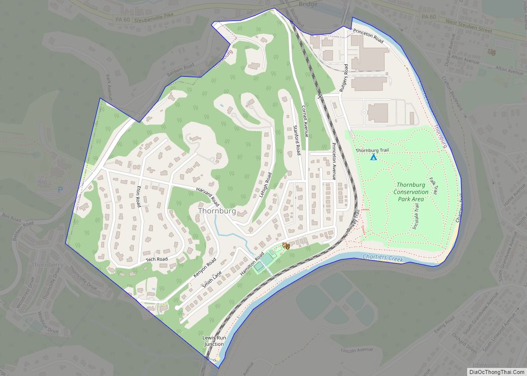
Thornburg is a borough in Allegheny County in the U.S. state of Pennsylvania. The population was 466 at the 2020 census. Thornburg borough overview: Name: Thornburg borough LSAD Code: 21 LSAD Description: borough (suffix) State: Pennsylvania County: Allegheny County Total Area: 0.44 sq mi (1.13 km²) Land Area: 0.44 sq mi (1.13 km²) Water Area: 0.00 sq mi (0.00 km²) Total Population: 466 Population ... Read more
Pennsylvania Cities and Places
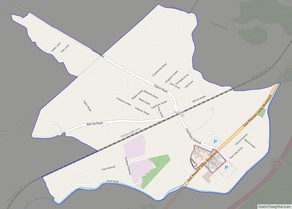
Tipton is a census-designated place (CDP) in Blair County, Pennsylvania, United States. The population was 1,083 at the 2010 census. It was a stop on the former Pennsylvania Railroad Main Line between Tyrone and Altoona. Tipton CDP overview: Name: Tipton CDP LSAD Code: 57 LSAD Description: CDP (suffix) State: Pennsylvania County: Blair County Total Area: ... Read more
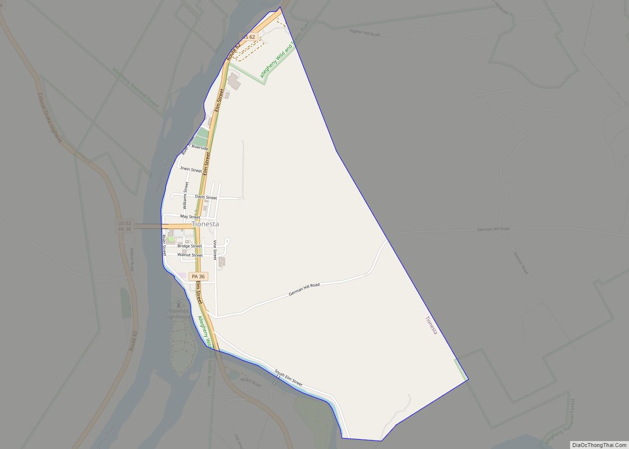
Tionesta is a borough in Forest County, Pennsylvania, United States. The population was 475 at the 2020 Census. It is the county seat of Forest County. The name is a Native American word meaning “the home of the wolves.” Visitors and residents are greeted to Tionesta with a sign reading “A special place with a ... Read more
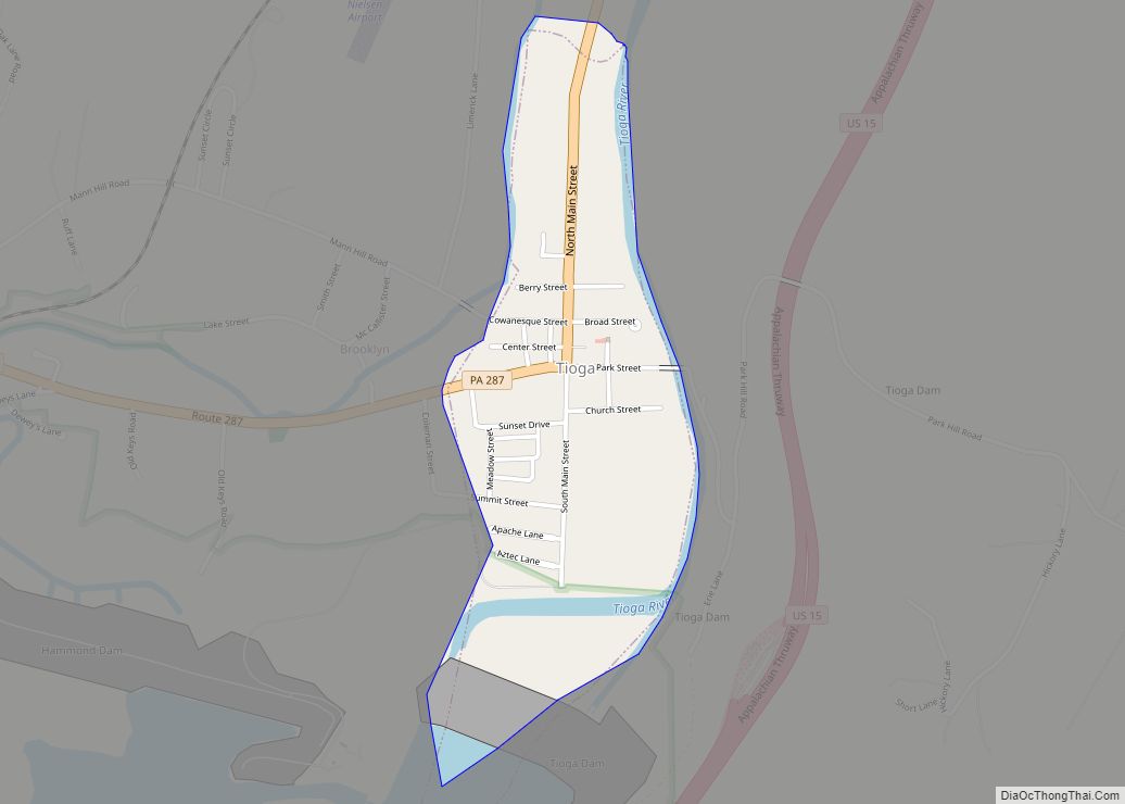
Tioga is a borough in Tioga County, Pennsylvania, United States. The population was 611 at the 2010 census. It is located north of Tioga and Hammond Lakes along the Tioga River. Tioga borough overview: Name: Tioga borough LSAD Code: 21 LSAD Description: borough (suffix) State: Pennsylvania County: Tioga County Incorporated: 1860 Elevation: 1,030 ft (310 m) Total ... Read more
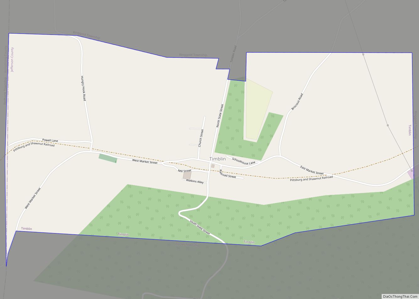
Timblin is a borough in Jefferson County, Pennsylvania, United States. The population was 157 at the 2010 census. Timblin borough overview: Name: Timblin borough LSAD Code: 21 LSAD Description: borough (suffix) State: Pennsylvania County: Jefferson County Elevation: 1,224 ft (373 m) Total Area: 0.91 sq mi (2.35 km²) Land Area: 0.90 sq mi (2.34 km²) Water Area: 0.00 sq mi (0.01 km²) Total Population: 147 Population ... Read more
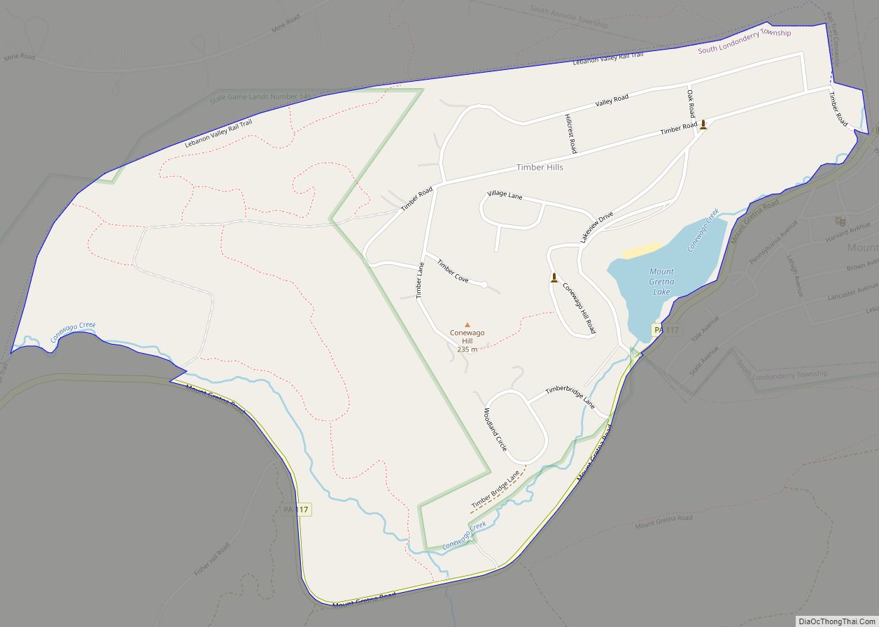
Timber Hills is an unincorporated community and census-designated place (CDP) in Lebanon County, Pennsylvania, United States. The population was 360 at the 2010 census. Timber Hills CDP overview: Name: Timber Hills CDP LSAD Code: 57 LSAD Description: CDP (suffix) State: Pennsylvania County: Lebanon County Elevation: 705 ft (215 m) Total Area: 0.69 sq mi (1.79 km²) Land Area: 0.67 sq mi (1.73 km²) ... Read more
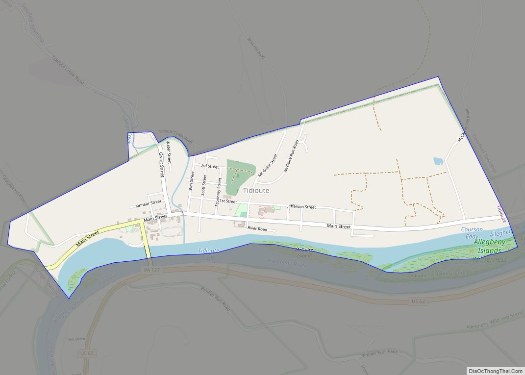
Tidioute is a borough in Warren County, Pennsylvania, United States. The population was 688 at the 2010 census. Tidioute borough overview: Name: Tidioute borough LSAD Code: 21 LSAD Description: borough (suffix) State: Pennsylvania County: Warren County Total Area: 1.21 sq mi (3.12 km²) Land Area: 1.07 sq mi (2.78 km²) Water Area: 0.13 sq mi (0.34 km²) Total Population: 626 Population Density: 583.41/sq mi (225.26/km²) ... Read more
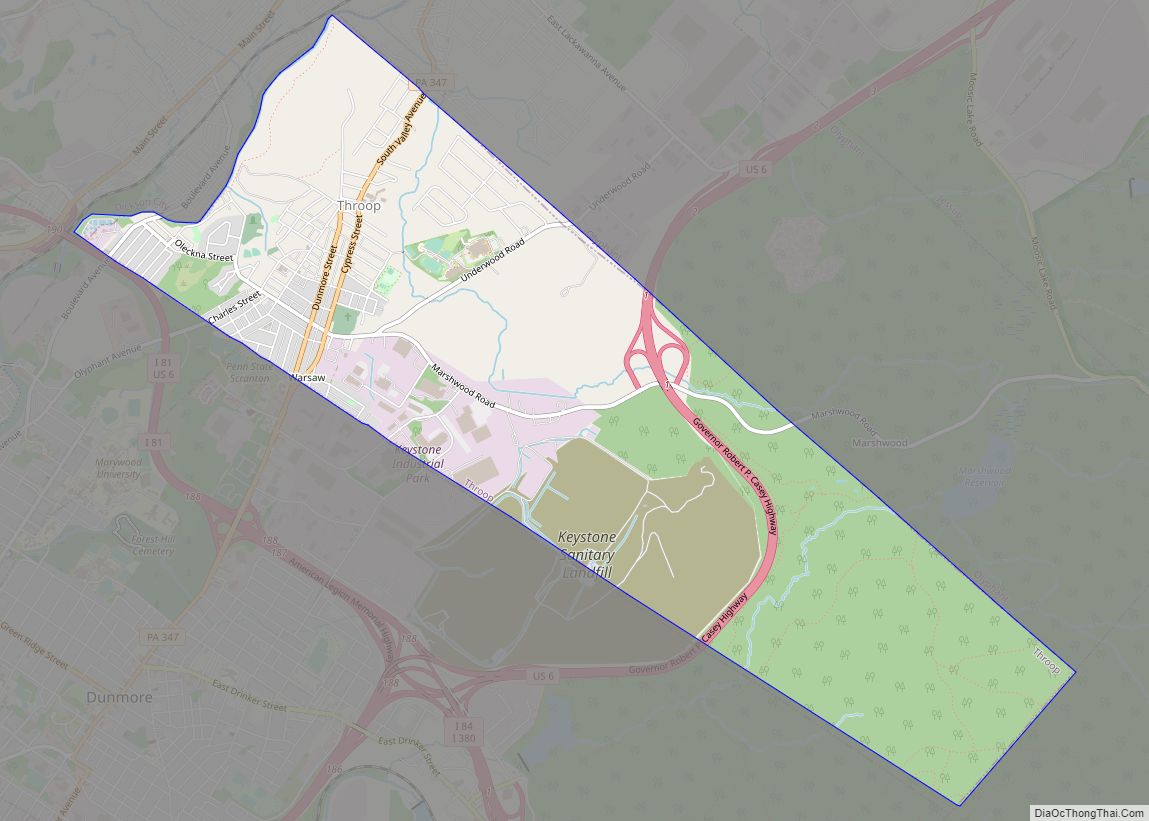
Throop /ˈtruːp/ is a borough in Lackawanna County, Pennsylvania, United States, adjoining Scranton. Formerly, coal mining and silk manufacturing provided employment for the people of Throop, who numbered 2,204 in 1900 and 5,133 in 1910. In 1940, 7,382 people lived in Throop. The population was 4,078 at the 2020 census. Throop borough overview: Name: Throop ... Read more
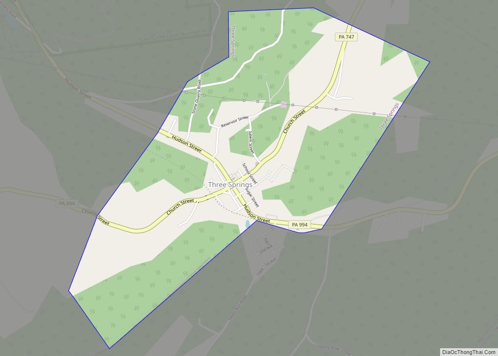
Three Springs is a borough in Huntingdon County, Pennsylvania, United States. The population was 444 at the 2010 census. The borough takes its name from nearby Three Springs Creek. Three Springs borough overview: Name: Three Springs borough LSAD Code: 21 LSAD Description: borough (suffix) State: Pennsylvania County: Huntingdon County Total Area: 1.23 sq mi (3.19 km²) Land Area: ... Read more
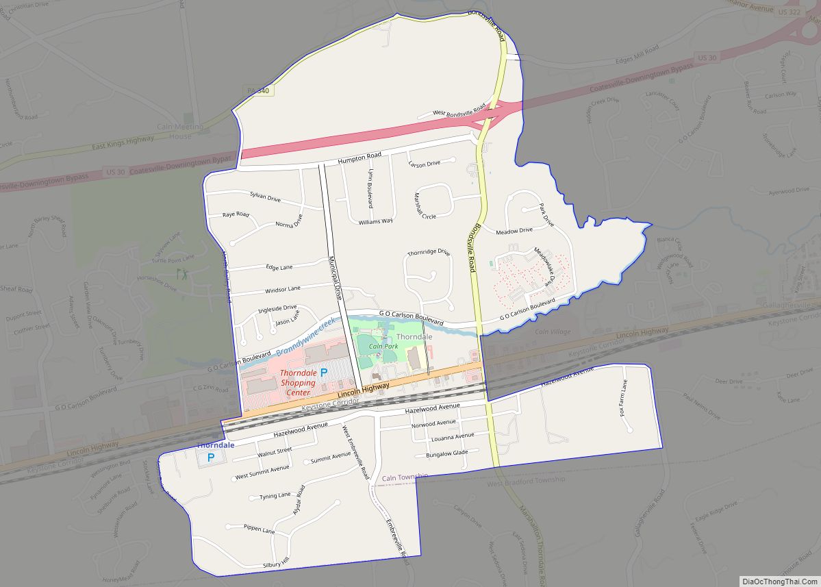
Thorndale is a census-designated place in Chester County, Pennsylvania, United States. The population was 3,407 at the 2010 census. Thorndale is the commercial and administrative center of Caln Township. The community’s main street is U.S. Route 30 Business. Many of Thorndale’s old houses fell into disrepair from the late 1990s to present and have been ... Read more
Tower City is a borough in Schuylkill County, Pennsylvania, United States. The population was 1,346 at the 2010 census. Tower City borough overview: Name: Tower City borough LSAD Code: 21 LSAD Description: borough (suffix) State: Pennsylvania County: Schuylkill County Incorporated: 1892 Total Area: 0.32 sq mi (0.81 km²) Land Area: 0.32 sq mi (0.81 km²) Water Area: 0.00 sq mi (0.00 km²) Total Population: ... Read more
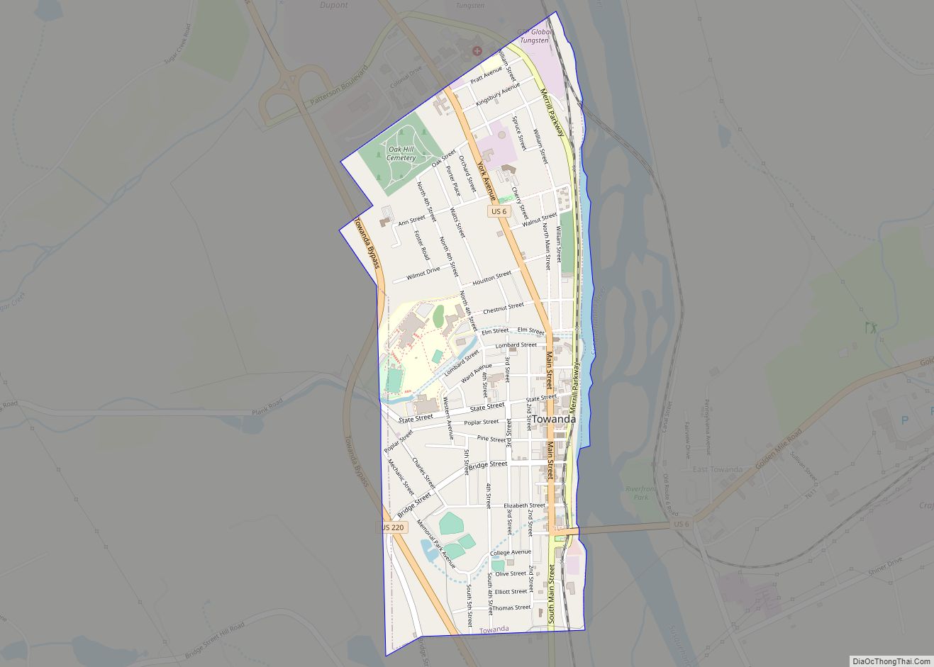
Towanda is a borough and the county seat of Bradford County in the U.S. state of Pennsylvania. It is part of Northeastern Pennsylvania and is located 66 miles (106 km) northwest of Wilkes-Barre, on the Susquehanna River. The name means “burial ground” in the Algonquian language. As of the 2020 census, the population of Towanda was ... Read more
