Trainer is a borough in Delaware County, Pennsylvania, United States. The population was 1,828 at the 2010 census, down from 1,901 at the 2000 census. The borough was named after David Trainer, a wealthy textile manufacturer.
| Name: | Trainer borough |
|---|---|
| LSAD Code: | 21 |
| LSAD Description: | borough (suffix) |
| State: | Pennsylvania |
| County: | Delaware County |
| Elevation: | 72 ft (22 m) |
| Total Area: | 1.38 sq mi (3.56 km²) |
| Land Area: | 1.06 sq mi (2.74 km²) |
| Water Area: | 0.32 sq mi (0.82 km²) |
| Total Population: | 1,828 |
| Population Density: | 1,736.99/sq mi (670.94/km²) |
| ZIP code: | 19061 |
| Area code: | 610 and 484 |
| FIPS code: | 4277288 |
| GNISfeature ID: | 1189711 |
| Website: | www.trainerboro.com |
Online Interactive Map
Click on ![]() to view map in "full screen" mode.
to view map in "full screen" mode.
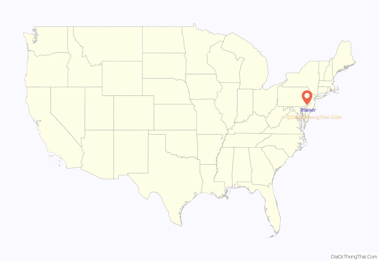
Trainer location map. Where is Trainer borough?

History
Trainer is named after the Linwood Mills owner David Trainer Sr. The borough of Trainer was originally part of Lower Chichester Township and was incorporated as a borough in 1919.
Trainer Road Map

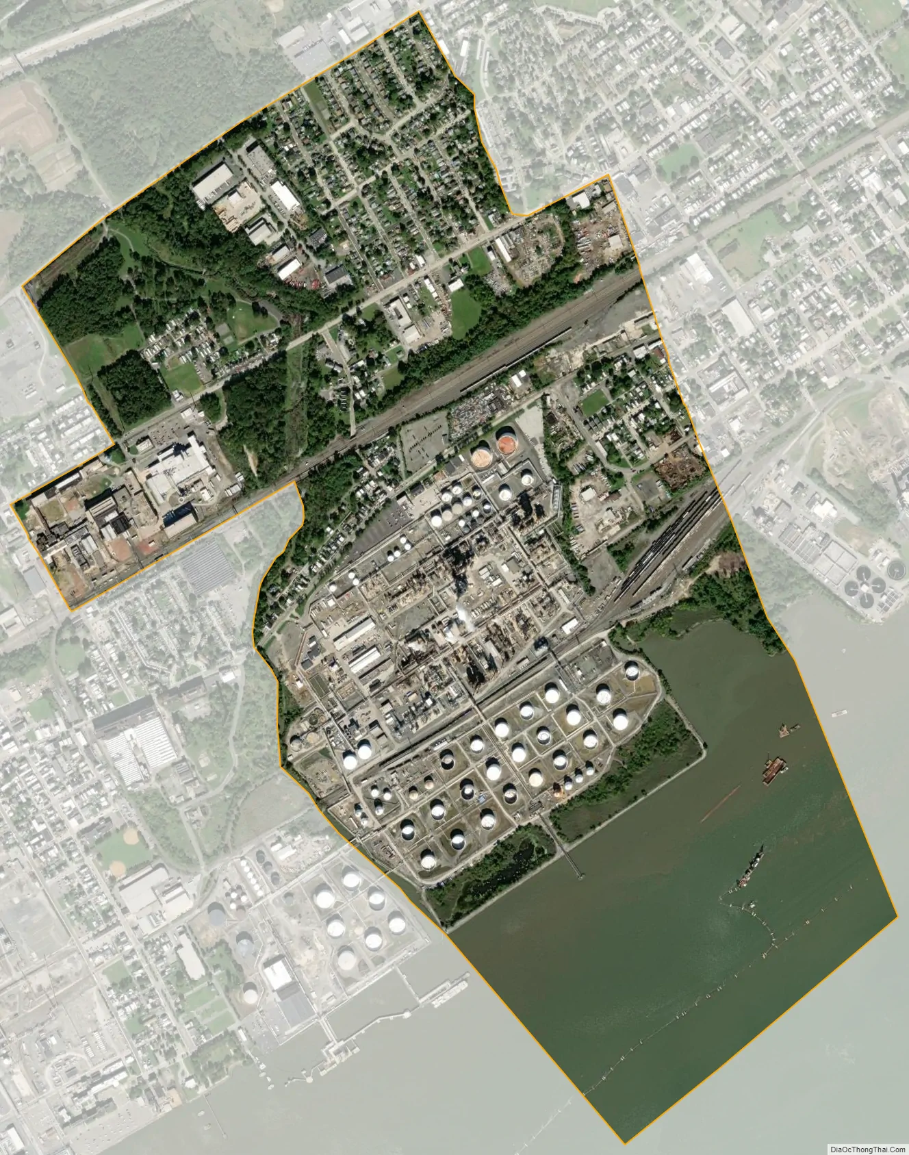
Trainer city Satellite Map
Geography
Trainer is located in southern Delaware County at 39°49′43″N 75°24′13″W / 39.82861°N 75.40361°W / 39.82861; -75.40361 (39.828612, -75.403599), on the northwest bank of the Delaware River. It is bordered to the southwest by the borough of Marcus Hook, to the west by the community of Linwood in Lower Chichester Township, to the north by Upper Chichester Township, to the east by the city of Chester, and to the south across the Delaware River by Gloucester County, New Jersey.
Stoney Creek passes through the town, emptying into the Delaware River.
According to the United States Census Bureau, the borough has a total area of 1.4 square miles (3.6 km), of which 1.0 square mile (2.7 km) is land and 0.31 square miles (0.8 km), or 22.94%, is water.
See also
Map of Pennsylvania State and its subdivision:- Adams
- Allegheny
- Armstrong
- Beaver
- Bedford
- Berks
- Blair
- Bradford
- Bucks
- Butler
- Cambria
- Cameron
- Carbon
- Centre
- Chester
- Clarion
- Clearfield
- Clinton
- Columbia
- Crawford
- Cumberland
- Dauphin
- Delaware
- Elk
- Erie
- Fayette
- Forest
- Franklin
- Fulton
- Greene
- Huntingdon
- Indiana
- Jefferson
- Juniata
- Lackawanna
- Lancaster
- Lawrence
- Lebanon
- Lehigh
- Luzerne
- Lycoming
- Mc Kean
- Mercer
- Mifflin
- Monroe
- Montgomery
- Montour
- Northampton
- Northumberland
- Perry
- Philadelphia
- Pike
- Potter
- Schuylkill
- Snyder
- Somerset
- Sullivan
- Susquehanna
- Tioga
- Union
- Venango
- Warren
- Washington
- Wayne
- Westmoreland
- Wyoming
- York
- Alabama
- Alaska
- Arizona
- Arkansas
- California
- Colorado
- Connecticut
- Delaware
- District of Columbia
- Florida
- Georgia
- Hawaii
- Idaho
- Illinois
- Indiana
- Iowa
- Kansas
- Kentucky
- Louisiana
- Maine
- Maryland
- Massachusetts
- Michigan
- Minnesota
- Mississippi
- Missouri
- Montana
- Nebraska
- Nevada
- New Hampshire
- New Jersey
- New Mexico
- New York
- North Carolina
- North Dakota
- Ohio
- Oklahoma
- Oregon
- Pennsylvania
- Rhode Island
- South Carolina
- South Dakota
- Tennessee
- Texas
- Utah
- Vermont
- Virginia
- Washington
- West Virginia
- Wisconsin
- Wyoming


