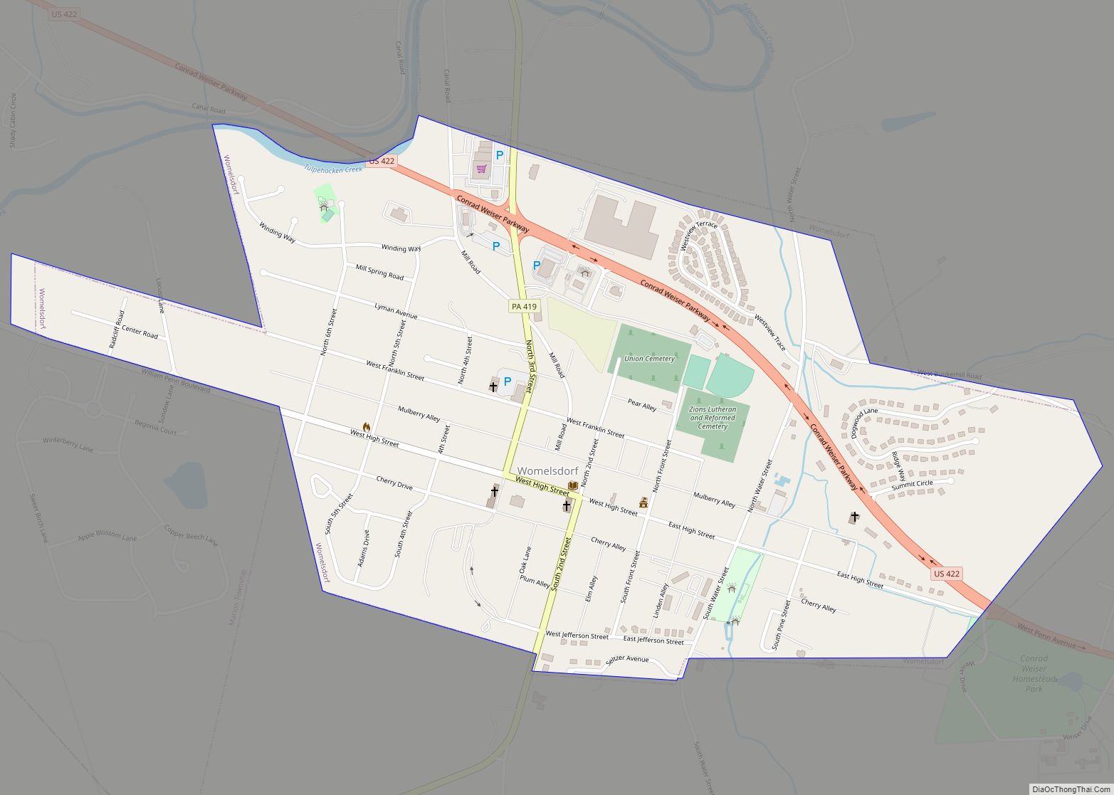
Womelsdorf is a borough in Berks County, Pennsylvania, United States. The population was 2,810 at the 2010 census. The main thoroughfares through Womelsdorf are High Street, which runs east–west, and Pennsylvania Route 419, which runs north–south. U.S. Route 422 runs along the northern edge of town. Womelsdorf borough overview: Name: Womelsdorf borough LSAD Code: 21 ... Read more
Pennsylvania Cities and Places
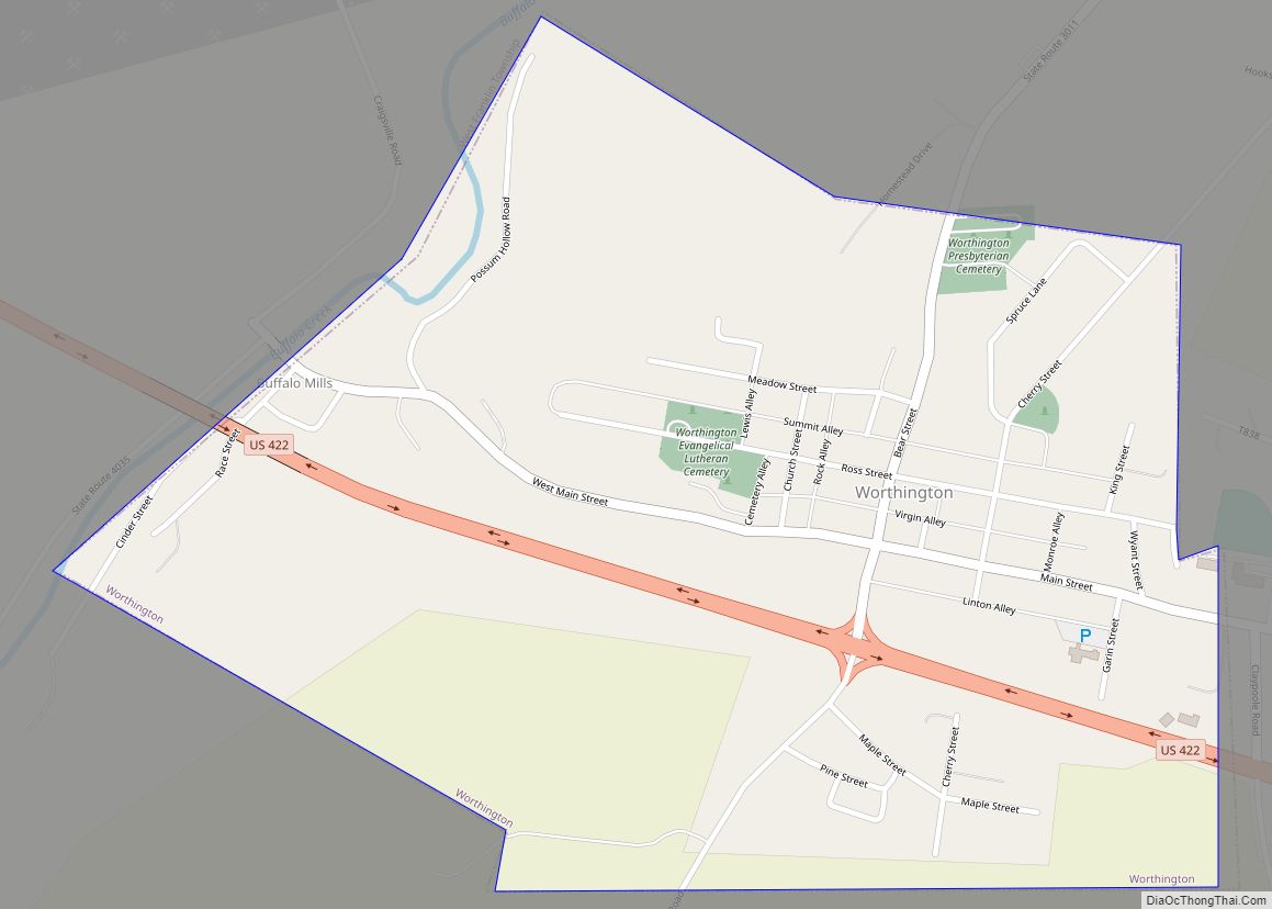
Worthington is a borough in Armstrong County, Pennsylvania, United States. The population was 594 at the 2020 census. Worthington borough overview: Name: Worthington borough LSAD Code: 21 LSAD Description: borough (suffix) State: Pennsylvania County: Armstrong County Incorporated: 1855 Elevation: 1,120 ft (340 m) Total Area: 0.69 sq mi (1.78 km²) Land Area: 0.69 sq mi (1.78 km²) Water Area: 0.00 sq mi (0.00 km²) Total Population: ... Read more
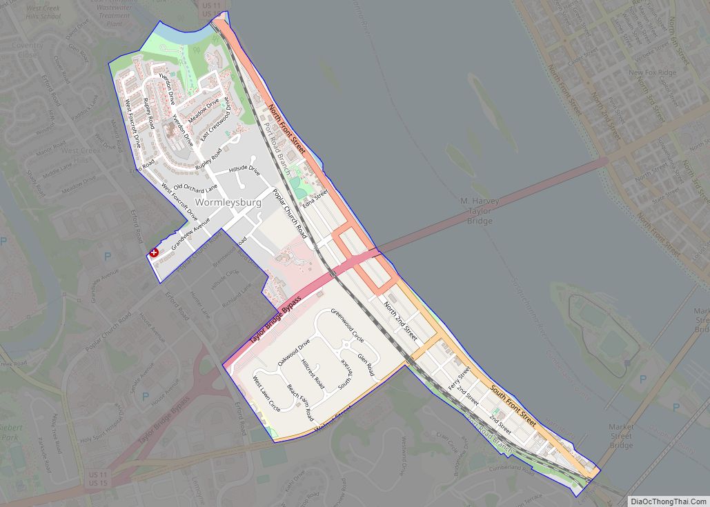
Wormleysburg is a borough in Cumberland County, Pennsylvania, United States. The population was 3,070 at the 2010 census. It is part of the Harrisburg–Carlisle Metropolitan Statistical Area. Wormleysburg is served by West Shore School District. The borough is home to Harsco Corporation. Wormleysburg borough overview: Name: Wormleysburg borough LSAD Code: 21 LSAD Description: borough (suffix) ... Read more
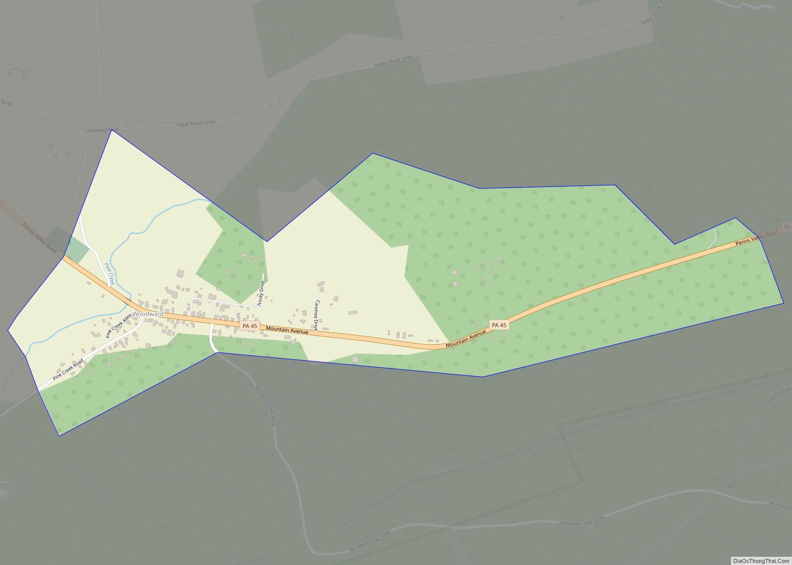
Woodward is an unincorporated community and census-designated place in Centre County, Pennsylvania, United States. It is part of the State College, Pennsylvania, Metropolitan Statistical Area. The population was 110 at the 2010 census. Woodward CDP overview: Name: Woodward CDP LSAD Code: 57 LSAD Description: CDP (suffix) State: Pennsylvania County: Centre County Elevation: 1,127 ft (344 m) Total ... Read more
Woodside is a census-designated place (CDP) in Bucks County, Pennsylvania, United States. The population was 2,425 at the 2010 census. Woodside CDP overview: Name: Woodside CDP LSAD Code: 57 LSAD Description: CDP (suffix) State: Pennsylvania County: Bucks County Elevation: 157 ft (48 m) Total Area: 1.0 sq mi (3 km²) Land Area: 1.0 sq mi (3 km²) Water Area: 0.0 sq mi (0 km²) Total Population: ... Read more
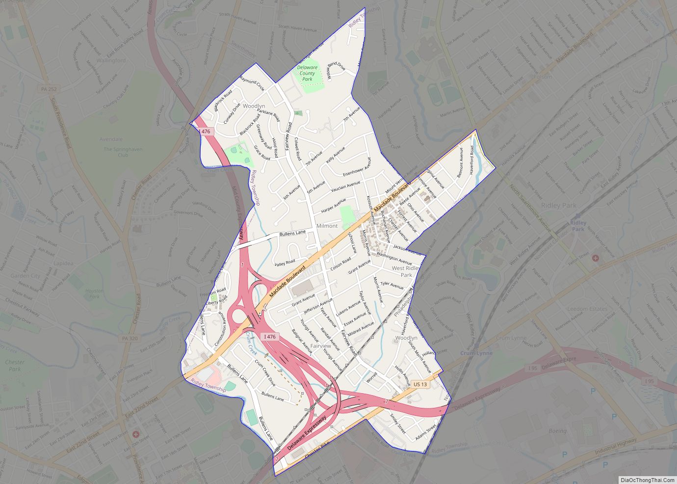
Woodlyn is a census-designated place (CDP) in Delaware County, Pennsylvania, United States. The population was 9,485 at the 2010 census, down from 10,036 at the 2000 census. It is a part of Ridley Township, and children residing within the community generally attend schools in the Ridley School District. Woodlyn is served by the Woodlyn Fire ... Read more
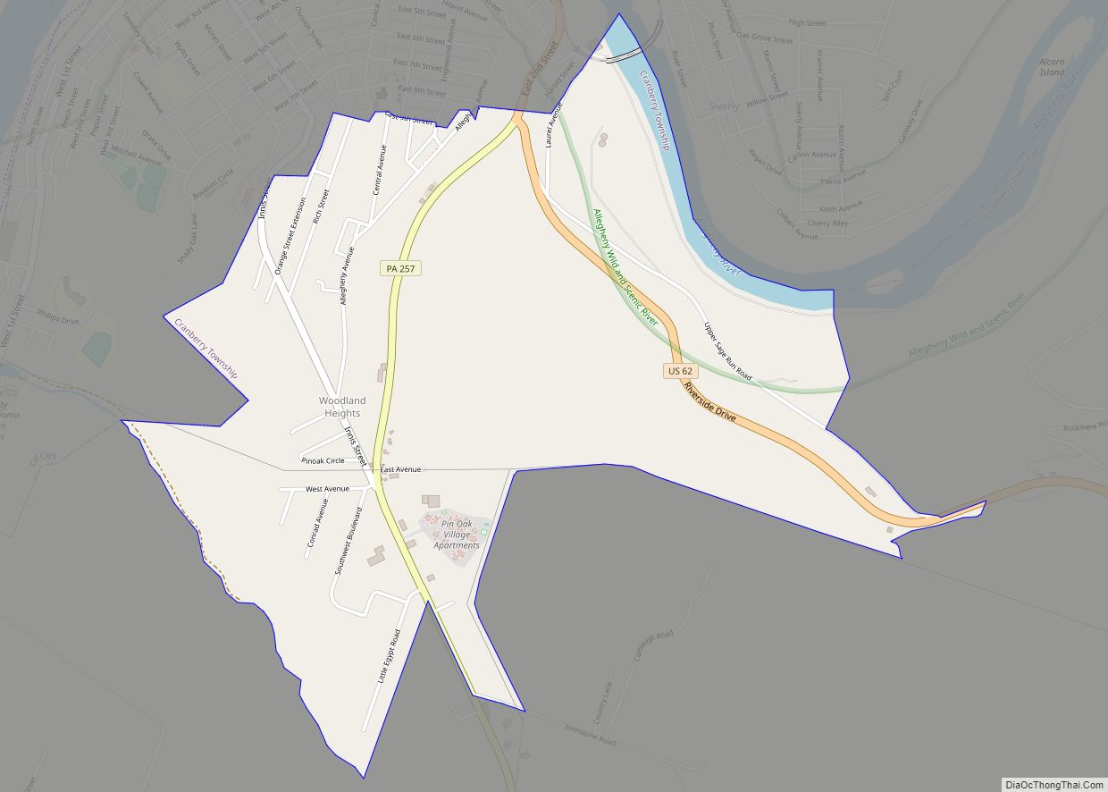
Woodland Heights is a census-designated place (CDP) in Venango County, Pennsylvania, United States. The population was 1,402 at the 2000 census. Woodland Heights CDP overview: Name: Woodland Heights CDP LSAD Code: 57 LSAD Description: CDP (suffix) State: Pennsylvania County: Venango County Total Area: 1.7 sq mi (4.5 km²) Land Area: 1.7 sq mi (4.3 km²) Water Area: 0.08 sq mi (0.2 km²) Total Population: ... Read more
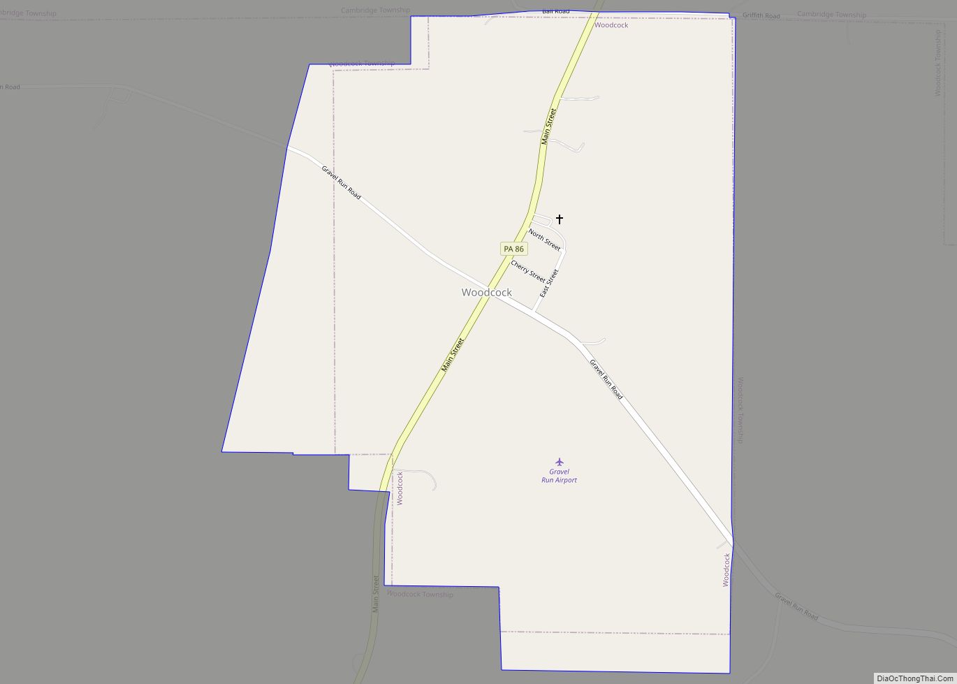
Woodcock is a borough in Crawford County, Pennsylvania, United States. The population was 139 at the 2020 census, down from 157 at the 2010 census. Woodcock borough overview: Name: Woodcock borough LSAD Code: 21 LSAD Description: borough (suffix) State: Pennsylvania County: Crawford County Founded: 1844 Total Area: 0.67 sq mi (1.73 km²) Land Area: 0.67 sq mi (1.73 km²) Water Area: ... Read more
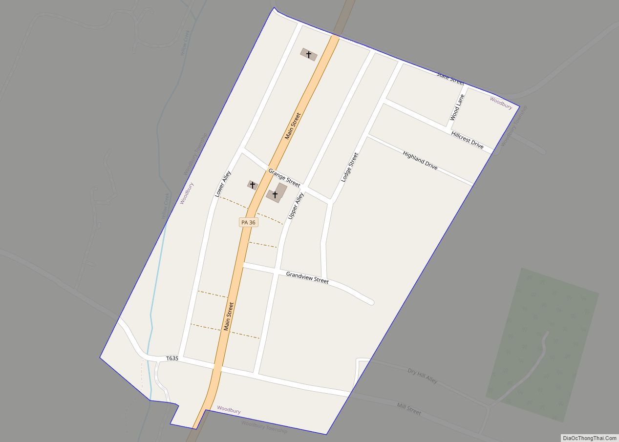
Woodbury borough overview: Name: Woodbury borough LSAD Code: 21 LSAD Description: borough (suffix) State: Pennsylvania County: Bedford County FIPS code: 4286128 Online Interactive Map Woodbury online map. Source: Basemap layers from Google Map, Open Street Map (OSM), Arcgisonline, Wmflabs. Boundary Data from Database of Global Administrative Areas. Woodbury location map. Where is Woodbury borough? Woodbury ... Read more
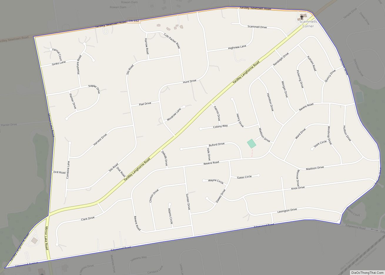
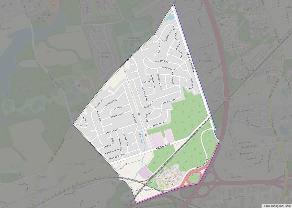
Woodbourne is a census-designated place (CDP) in Bucks County, Pennsylvania, United States. The population was 3,851 at the 2010 census. Woodbourne CDP overview: Name: Woodbourne CDP LSAD Code: 57 LSAD Description: CDP (suffix) State: Pennsylvania County: Bucks County Elevation: 174 ft (53 m) Total Area: 1.2 sq mi (3 km²) Land Area: 1.2 sq mi (3 km²) Water Area: 0.0 sq mi (0 km²) Total Population: ... Read more
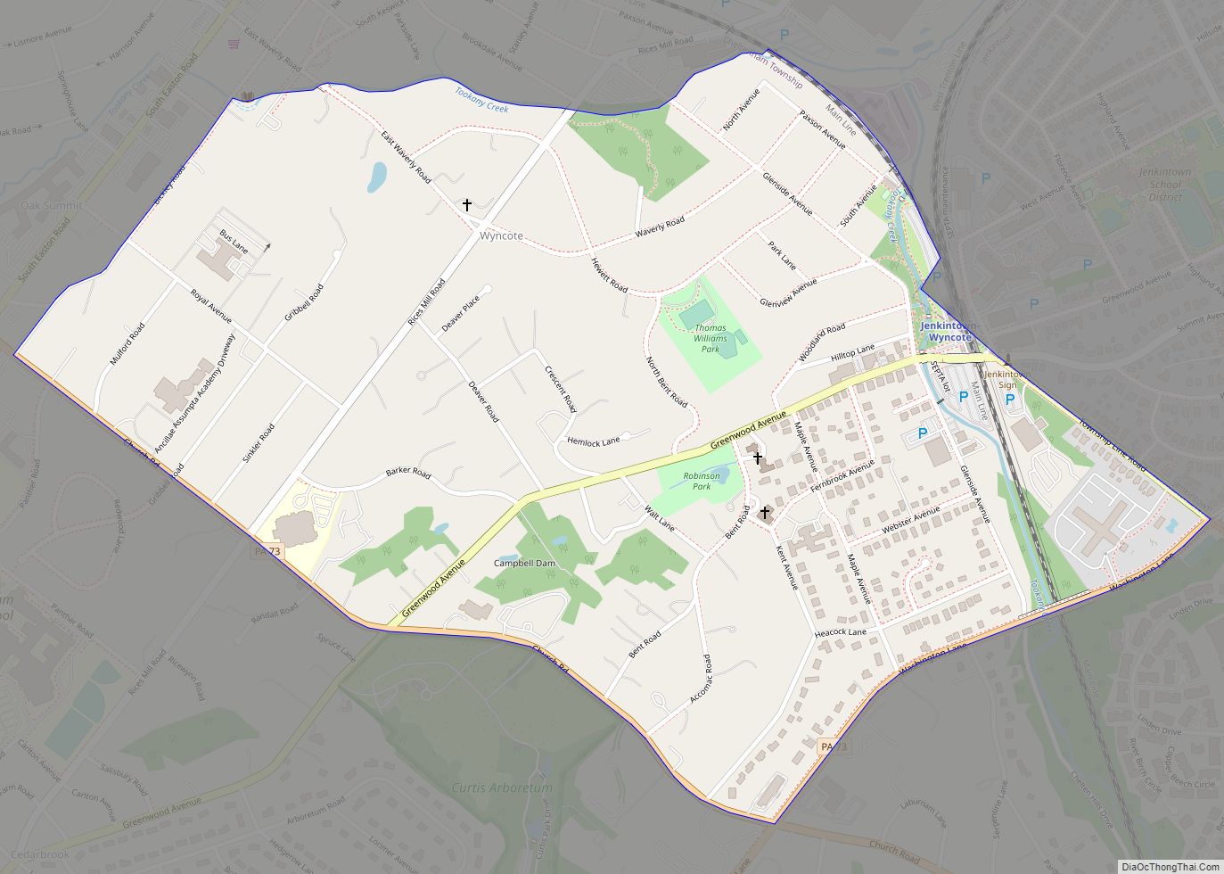
Wyncote is a census-designated place (CDP) in Cheltenham Township, Montgomery County, Pennsylvania. It borders the northwestern and northeastern section of Philadelphia. Wyncote is located 11 miles from Center City Philadelphia at the southeasternmost tip of Montgomery County. The Jenkintown-Wyncote SEPTA station is the fifth busiest regional rail station in the SEPTA system. Wyncote is bordered ... Read more
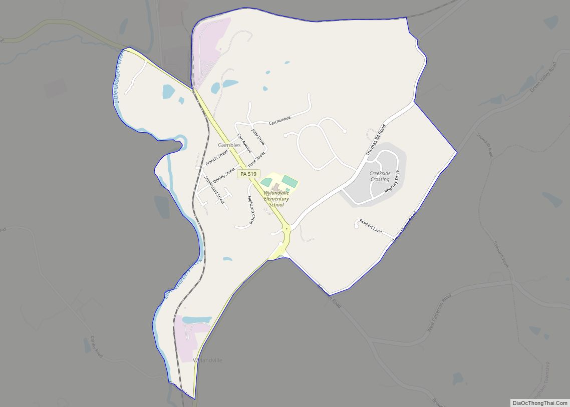
Wylandville is a census-designated place located in North Strabane Township, Washington County in the state of Pennsylvania, United States. The community is located in northern Washington County along Pennsylvania Route 519. As of the 2010 census the population was 391 residents. Wylandville CDP overview: Name: Wylandville CDP LSAD Code: 57 LSAD Description: CDP (suffix) State: ... Read more
