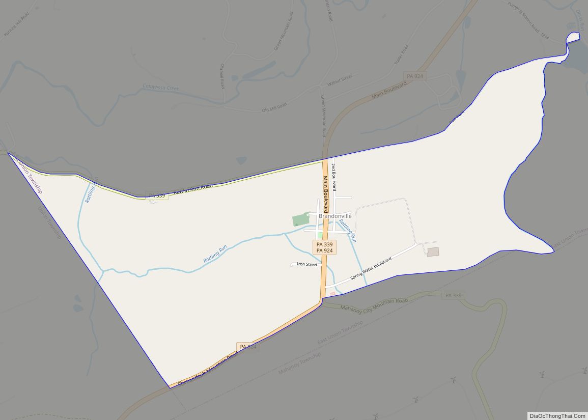
Brandonville is a census-designated place (CDP) in East Union Township, Schuylkill County, Pennsylvania, United States. The population was 217 at the 2000 census. Brandonville CDP overview: Name: Brandonville CDP LSAD Code: 57 LSAD Description: CDP (suffix) State: Pennsylvania County: Schuylkill County Total Area: 1.40 sq mi (3.63 km²) Land Area: 1.40 sq mi (3.63 km²) Water Area: 0.00 sq mi (0.00 km²) Total Population: ... Read more
Pennsylvania Cities and Places
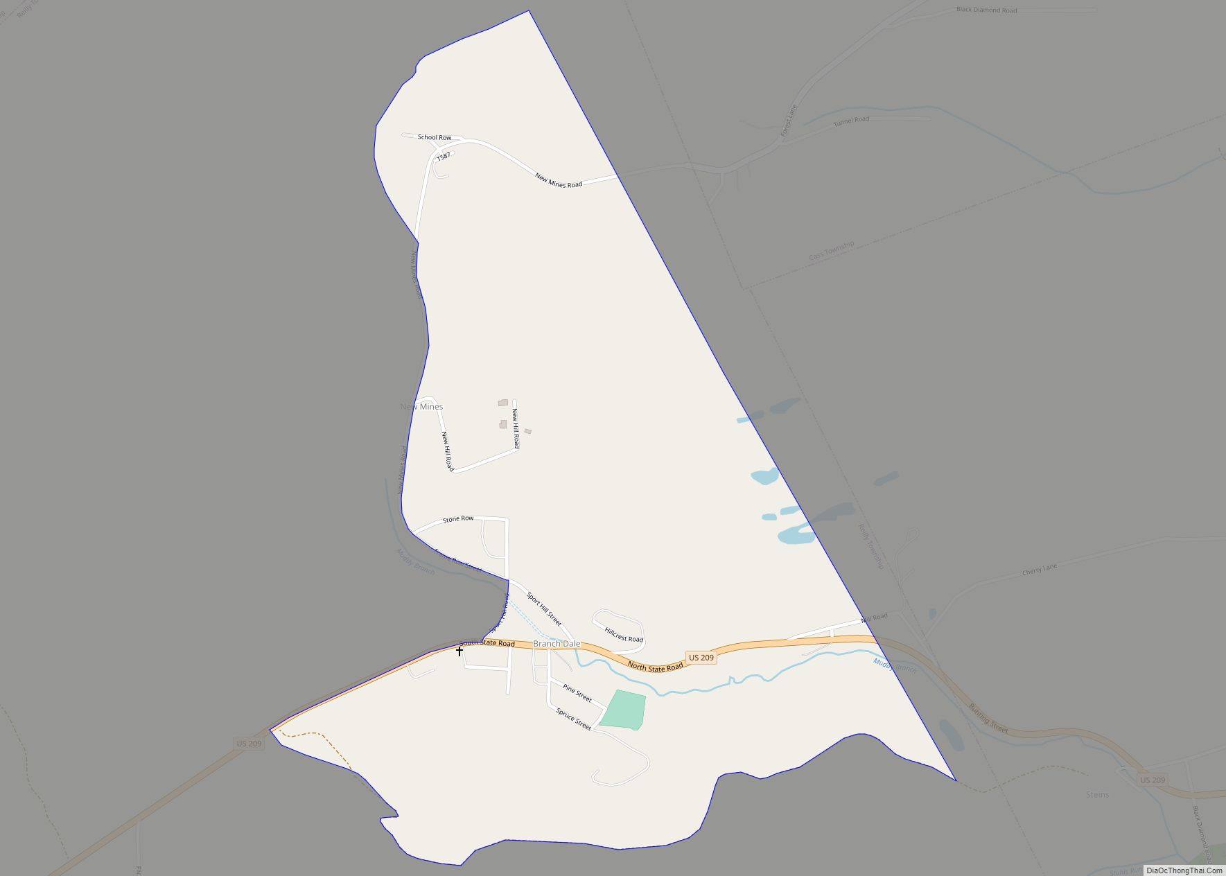
Branchdale is a census-designated place (CDP) in Schuylkill County, Pennsylvania, United States. The population was 436 at the 2000 census. Branchdale CDP overview: Name: Branchdale CDP LSAD Code: 57 LSAD Description: CDP (suffix) State: Pennsylvania County: Schuylkill County Total Area: 0.71 sq mi (1.85 km²) Land Area: 0.71 sq mi (1.85 km²) Water Area: 0.00 sq mi (0.00 km²) Total Population: 328 Population Density: ... Read more
Bradford is a city in McKean County, Pennsylvania. It is located close to the border with New York state and approximately 78 miles (126 km) south of Buffalo, New York. Home to an oil refinery, Zippo headquarters and a University of Pittsburgh branch campus, Bradford is the principal city in the Bradford, PA Micropolitan Statistical Area. ... Read more
Bradford Woods is a borough in Allegheny County, Pennsylvania, United States. The population was 1,183 at the 2020 census. A suburb of the Pittsburgh metropolitan area, it is part of the North Allegheny School District and participates in the multi-municipality Northland Public Library. It is home to Bradford Woods Elementary School. Bradford Woods borough overview: ... Read more
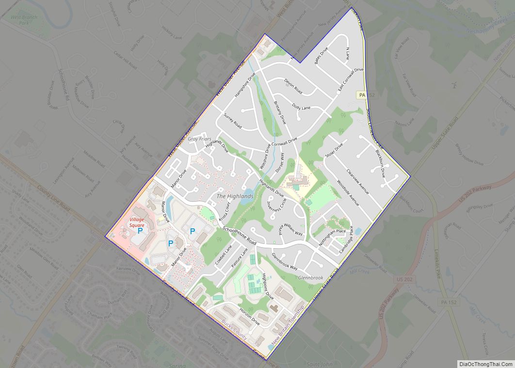
Brittany Farms-The Highlands is a census-designated place (CDP) in Bucks County, Pennsylvania, United States. The population was 3,695 at the 2010 census. At the 2000 census, it was listed as “Brittany Farms-Highlands” CDP. Brittany Farms-The Highlands CDP overview: Name: Brittany Farms-The Highlands CDP LSAD Code: 57 LSAD Description: CDP (suffix) State: Pennsylvania County: Bucks County ... Read more
Bristol is a borough in Bucks County, Pennsylvania, United States. It is located 23 miles (37 km) northeast of Center City Philadelphia, opposite Burlington, New Jersey on the Delaware River. It antedates Philadelphia,being settled in 1681 and first incorporated in 1720. After 1834, it became very important to the development of the American Industrial Revolution as ... Read more
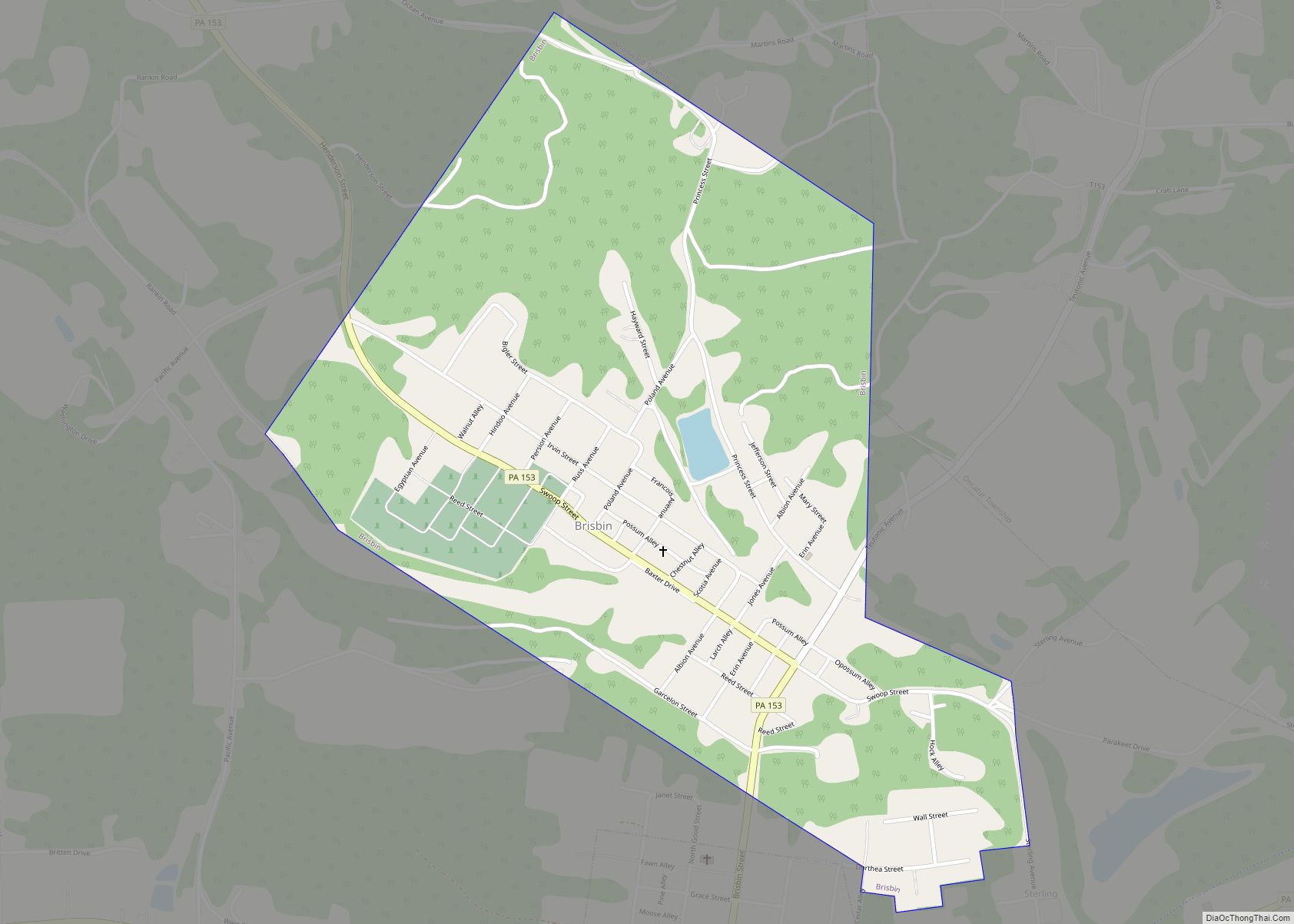
Brisbin is a borough in Clearfield County, Pennsylvania, United States. The population was 422 at the 2020 census. Brisbin borough overview: Name: Brisbin borough LSAD Code: 21 LSAD Description: borough (suffix) State: Pennsylvania County: Clearfield County Incorporated: 1883 Elevation: 1,590 ft (480 m) Total Area: 0.73 sq mi (1.89 km²) Land Area: 0.71 sq mi (1.85 km²) Water Area: 0.01 sq mi (0.04 km²) Total Population: ... Read more
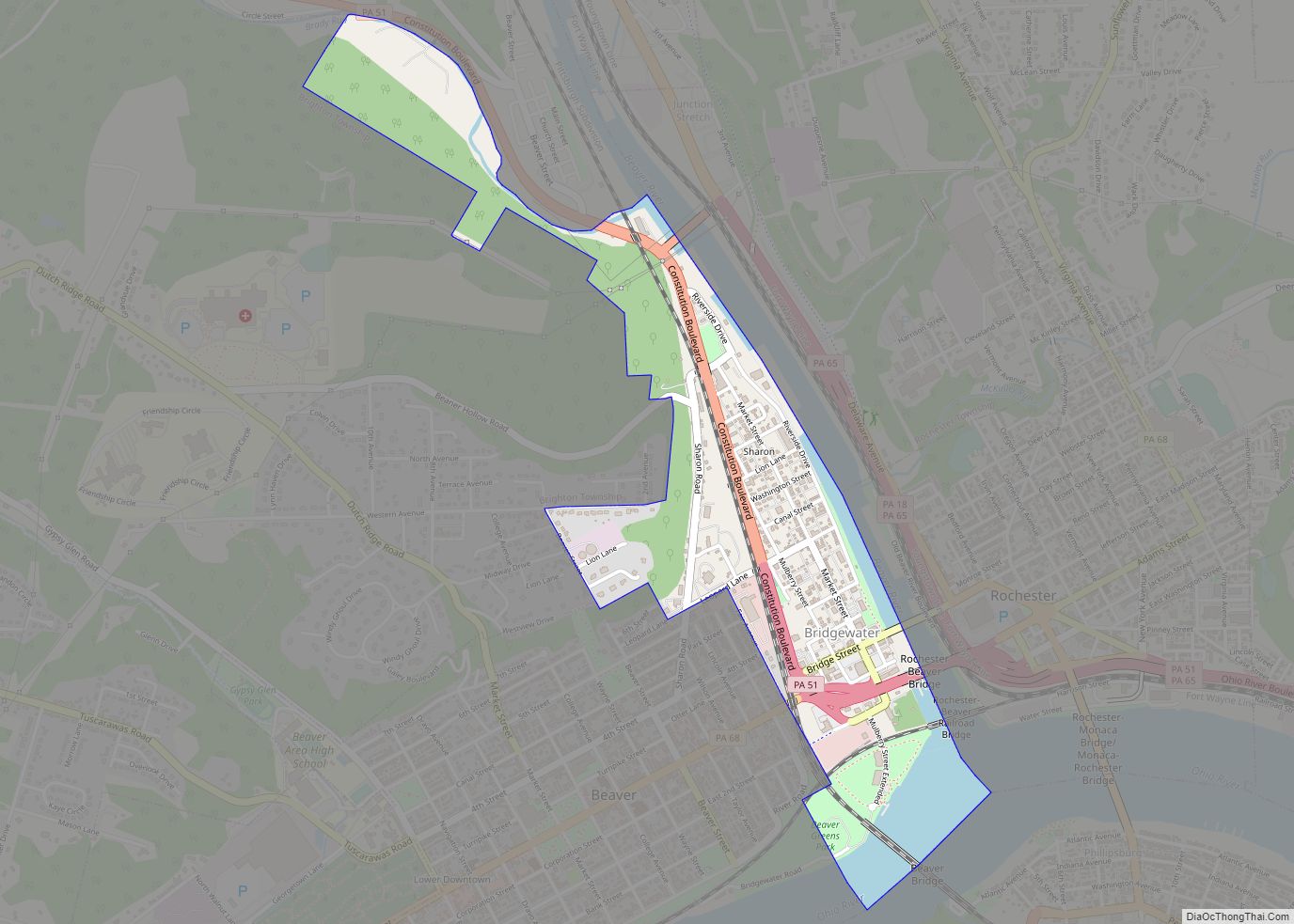
Bridgewater is a borough in central Beaver County, Pennsylvania, United States, at the confluence of the Beaver and Ohio rivers. The population was 744 at the 2020 census. It is part of the Pittsburgh metropolitan area. The borough is best known as the home of the Bruster’s Ice Cream chain. A few scenes in the ... Read more
Bridgeville is a borough in Allegheny County in the U.S. state of Pennsylvania. The population was 4,804 at the 2020 census. Bridgeville borough overview: Name: Bridgeville borough LSAD Code: 21 LSAD Description: borough (suffix) State: Pennsylvania County: Allegheny County Incorporated: July 27, 1901 Elevation: 820 ft (250 m) Total Area: 1.10 sq mi (2.84 km²) Land Area: 1.09 sq mi (2.84 km²) Water ... Read more
Bridgeport is a borough in Montgomery County, Pennsylvania, United States, 18 mi (29 km) north of Philadelphia on the Schuylkill River. Former industries included paper, flour, cotton, woolen mills, steel works, and brickyards. Bridgeport is 6 mi (9.7 km) east of Valley Forge, Pennsylvania. In 1777, during the American Revolutionary War, General George Washington and the Continental Army passed ... Read more
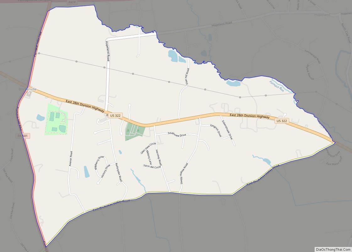
Brickerville is an unincorporated community and census-designated place (CDP) in Elizabeth Township, Lancaster County, Pennsylvania, United States, with a ZIP code of 17543. The population was 1,309 at the 2010 census. Brickerville CDP overview: Name: Brickerville CDP LSAD Code: 57 LSAD Description: CDP (suffix) State: Pennsylvania County: Lancaster County Elevation: 538 ft (164 m) Total Area: 2.19 sq mi ... Read more
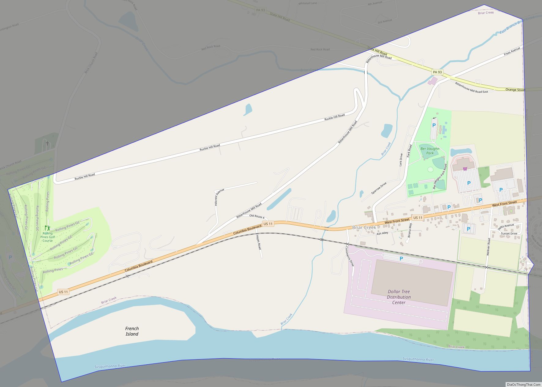
Briar Creek is a borough in Columbia County, Pennsylvania, United States. It is part of Northeastern Pennsylvania. The population was 597 at the 2020 census. It is part of the Bloomsburg-Berwick micropolitan area. Briar Creek borough overview: Name: Briar Creek borough LSAD Code: 21 LSAD Description: borough (suffix) State: Pennsylvania County: Columbia County Incorporated: 1917 ... Read more
