Brickerville is an unincorporated community and census-designated place (CDP) in Elizabeth Township, Lancaster County, Pennsylvania, United States, with a ZIP code of 17543. The population was 1,309 at the 2010 census.
| Name: | Brickerville CDP |
|---|---|
| LSAD Code: | 57 |
| LSAD Description: | CDP (suffix) |
| State: | Pennsylvania |
| County: | Lancaster County |
| Elevation: | 538 ft (164 m) |
| Total Area: | 2.19 sq mi (5.67 km²) |
| Land Area: | 2.17 sq mi (5.62 km²) |
| Water Area: | 0.02 sq mi (0.05 km²) |
| Total Population: | 1,277 |
| Population Density: | 588.48/sq mi (227.23/km²) |
| ZIP code: | 17543 |
| Area code: | 717 |
| FIPS code: | 4208504 |
| GNISfeature ID: | 1170231 |
Online Interactive Map
Click on ![]() to view map in "full screen" mode.
to view map in "full screen" mode.
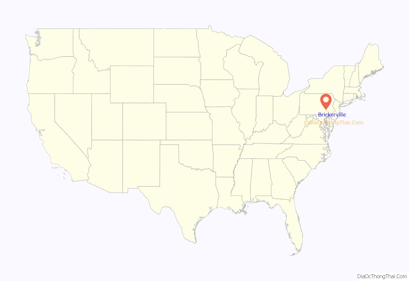
Brickerville location map. Where is Brickerville CDP?

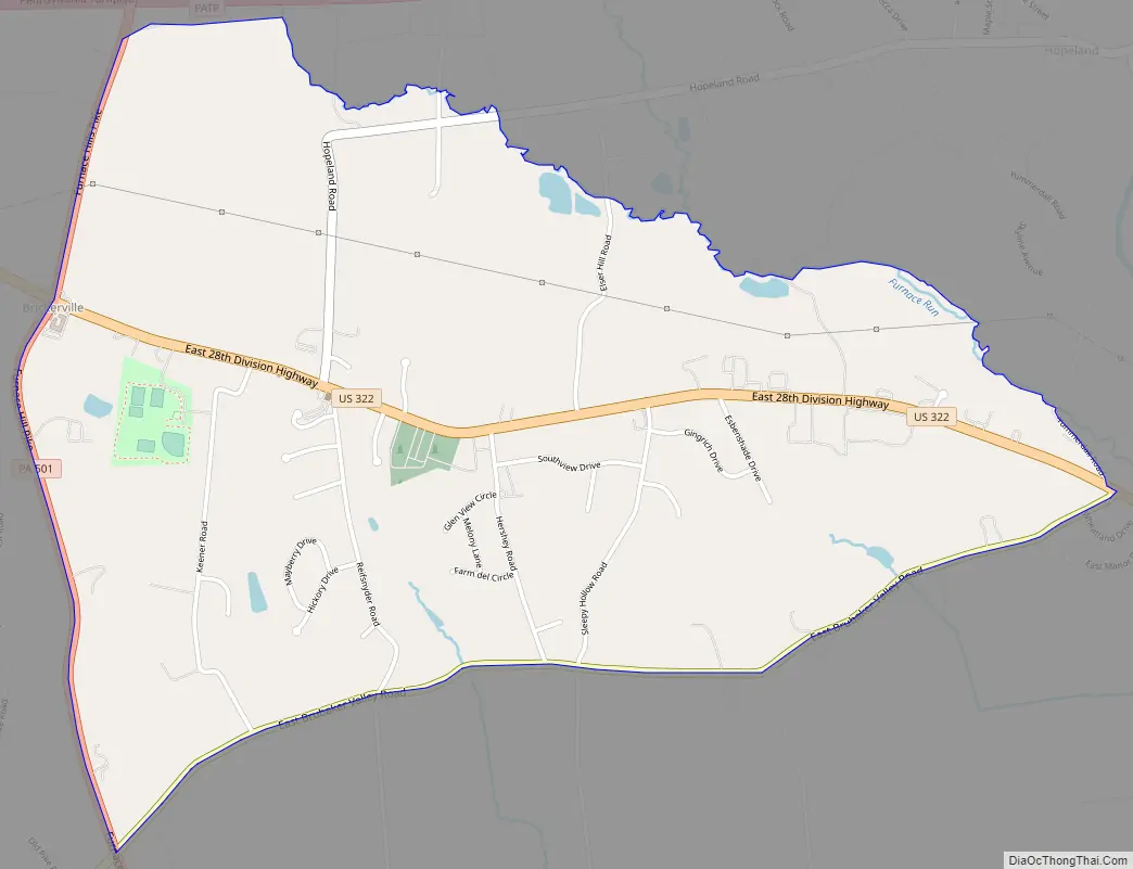
Brickerville Road Map
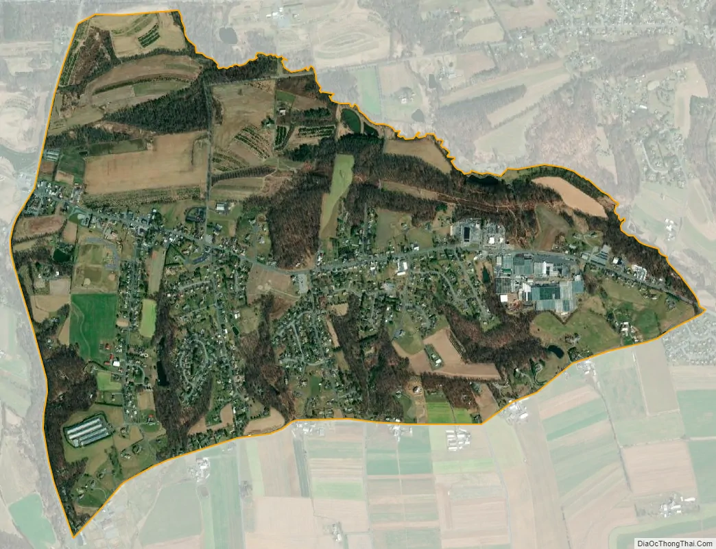
Brickerville city Satellite Map
Geography
Brickerville is located in northern Lancaster County at 40°13′33″N 76°18′09″W / 40.2259263°N 76.3024557°W / 40.2259263; -76.3024557, in the eastern part of Elizabeth Township. U.S. Route 322 (28th Division Highway) passes through the center of town, leading west-northwest 35 miles (56 km) to Harrisburg, the state capital, and southeast 7 miles (11 km) to Ephrata. Pennsylvania Route 501 (Furnace Hills Pike) crosses US 322 in Brickerville, leading north 6 miles (10 km) to Schaefferstown and south 5 miles (8 km) to Lititz. Lancaster, the county seat, is 13 miles (21 km) south of Brickerville via PA 501.
According to the United States Census Bureau, the CDP has a total area of 2.2 square miles (5.7 km), of which 0.02 square miles (0.05 km), or 0.84%, are water. The community sits on a ridge which drains northeast to Furnace Run, a tributary of Middle Creek, and south to Hammer Creek. Middle Creek and Hammer Creek are tributaries of Cocalico Creek, part of the Conestoga River watershed draining to the Susquehanna River.
See also
Map of Pennsylvania State and its subdivision:- Adams
- Allegheny
- Armstrong
- Beaver
- Bedford
- Berks
- Blair
- Bradford
- Bucks
- Butler
- Cambria
- Cameron
- Carbon
- Centre
- Chester
- Clarion
- Clearfield
- Clinton
- Columbia
- Crawford
- Cumberland
- Dauphin
- Delaware
- Elk
- Erie
- Fayette
- Forest
- Franklin
- Fulton
- Greene
- Huntingdon
- Indiana
- Jefferson
- Juniata
- Lackawanna
- Lancaster
- Lawrence
- Lebanon
- Lehigh
- Luzerne
- Lycoming
- Mc Kean
- Mercer
- Mifflin
- Monroe
- Montgomery
- Montour
- Northampton
- Northumberland
- Perry
- Philadelphia
- Pike
- Potter
- Schuylkill
- Snyder
- Somerset
- Sullivan
- Susquehanna
- Tioga
- Union
- Venango
- Warren
- Washington
- Wayne
- Westmoreland
- Wyoming
- York
- Alabama
- Alaska
- Arizona
- Arkansas
- California
- Colorado
- Connecticut
- Delaware
- District of Columbia
- Florida
- Georgia
- Hawaii
- Idaho
- Illinois
- Indiana
- Iowa
- Kansas
- Kentucky
- Louisiana
- Maine
- Maryland
- Massachusetts
- Michigan
- Minnesota
- Mississippi
- Missouri
- Montana
- Nebraska
- Nevada
- New Hampshire
- New Jersey
- New Mexico
- New York
- North Carolina
- North Dakota
- Ohio
- Oklahoma
- Oregon
- Pennsylvania
- Rhode Island
- South Carolina
- South Dakota
- Tennessee
- Texas
- Utah
- Vermont
- Virginia
- Washington
- West Virginia
- Wisconsin
- Wyoming


