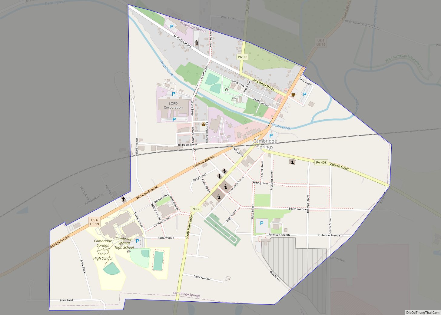
Cambridge Springs is a borough with home rule status in Crawford County, Pennsylvania, United States. The population was 2,511 at the 2020 census, down from 2,595 at the 2010 census. Cambridge Springs borough overview: Name: Cambridge Springs borough LSAD Code: 21 LSAD Description: borough (suffix) State: Pennsylvania County: Crawford County Total Area: 0.89 sq mi (2.30 km²) Land ... Read more
Pennsylvania Cities and Places
Calumet is a census-designated place in Mount Pleasant Township, Westmoreland County, Pennsylvania, United States. Although the United States Census Bureau included it as a census-designated place with the nearby community of Norvelt for the 2000 census, they are in reality two very different communities, each reflecting a different chapter in how the Great Depression affected ... Read more
Caln is a census-designated place (CDP) in Caln Township, Chester County, Pennsylvania, United States. The population was 1,519 at the 2010 census. It is located east of the city of Coatesville and lies west of Philadelphia. Caln CDP overview: Name: Caln CDP LSAD Code: 57 LSAD Description: CDP (suffix) State: Pennsylvania County: Chester County Elevation: ... Read more
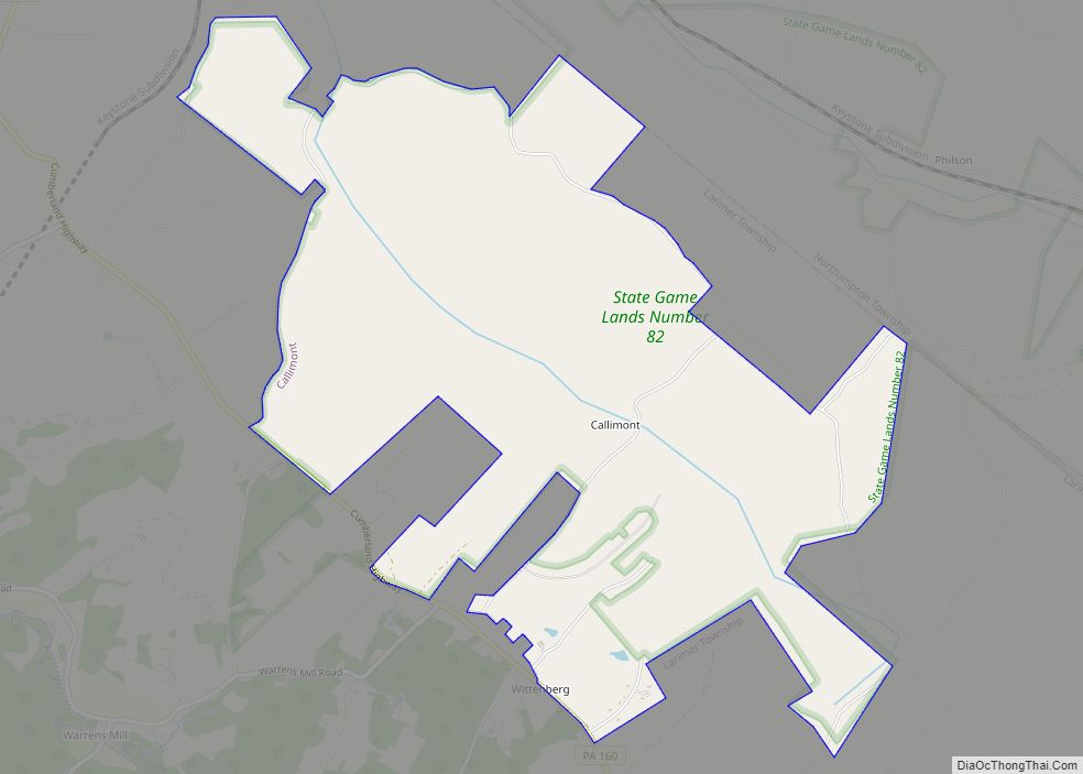
Callimont is a borough in Somerset County, Pennsylvania, United States. The population was 53 at the 2020 census. It is part of the Johnstown, Pennsylvania, Metropolitan Statistical Area. Callimont borough overview: Name: Callimont borough LSAD Code: 21 LSAD Description: borough (suffix) State: Pennsylvania County: Somerset County Elevation: 2,240 ft (680 m) Total Area: 4.36 sq mi (11.28 km²) Land Area: ... Read more
Callery is a borough in Butler County, Pennsylvania, United States. The population was 394 at the 2010 census. Callery borough overview: Name: Callery borough LSAD Code: 21 LSAD Description: borough (suffix) State: Pennsylvania County: Butler County Total Area: 0.54 sq mi (1.39 km²) Land Area: 0.54 sq mi (1.39 km²) Water Area: 0.00 sq mi (0.00 km²) Total Population: 364 Population Density: 677.84/sq mi (261.92/km²) ... Read more
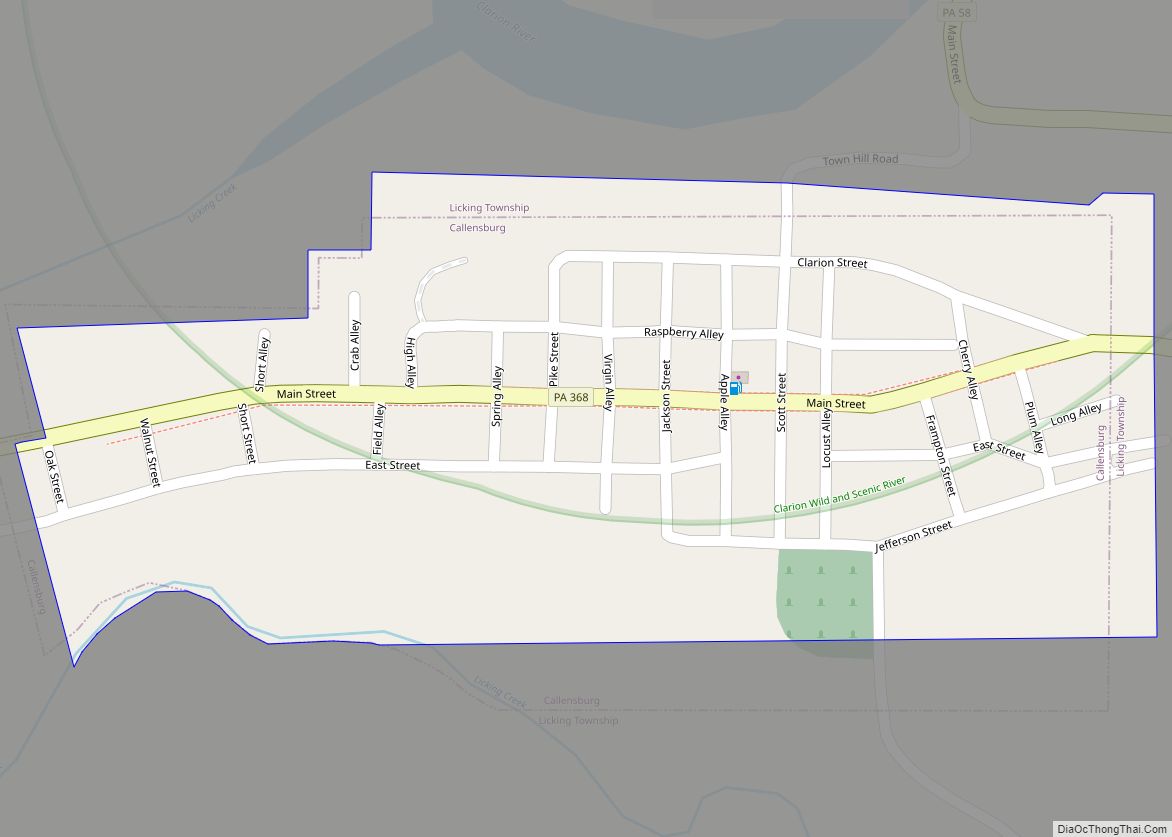
Callensburg is a borough in Clarion County, Pennsylvania, United States. The population was 207 at the 2010 census. Callensburg borough overview: Name: Callensburg borough LSAD Code: 21 LSAD Description: borough (suffix) State: Pennsylvania County: Clarion County Incorporated: 1851 Elevation: 1,110 ft (340 m) Total Area: 0.14 sq mi (0.37 km²) Land Area: 0.14 sq mi (0.37 km²) Water Area: 0.00 sq mi (0.00 km²) Total Population: ... Read more
California is a borough on the Monongahela River in Washington County, Pennsylvania, United States. The population was 5,479 as of the 2020 census. It is part of the Pittsburgh metropolitan area. Founded in 1849, the borough was named for the territory of California following the Gold Rush. California is the home of PennWest California, a ... Read more
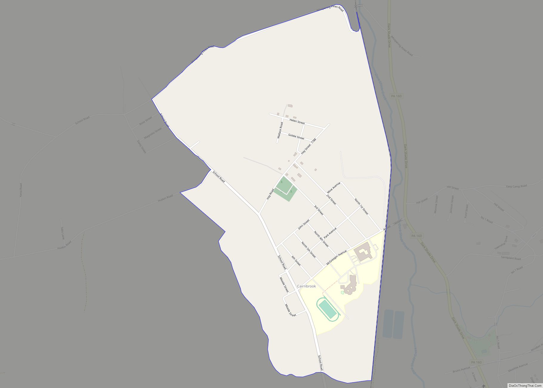
Cairnbrook is a census-designated place and coal town in Shade Township, Somerset County, Pennsylvania, United States. The community is located along Pennsylvania Route 160 within a mile of the borough of Central City. As of the 2010 census, the population was 520 residents. Cairnbrook CDP overview: Name: Cairnbrook CDP LSAD Code: 57 LSAD Description: CDP ... Read more
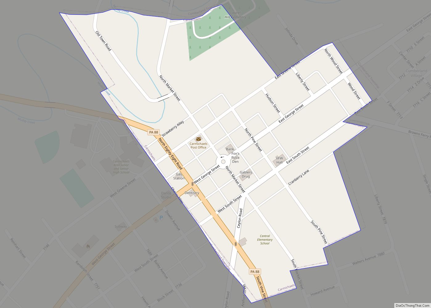
Carmichaels is a borough in Greene County, Pennsylvania, United States. The population was 434 at the 2020 census, a decline from the figure of 483 tabulated in 2010. Carmichaels borough overview: Name: Carmichaels borough LSAD Code: 21 LSAD Description: borough (suffix) State: Pennsylvania County: Greene County Elevation: 1,004 ft (306 m) Total Area: 0.17 sq mi (0.44 km²) Land Area: ... Read more
Carlisle is a borough in and the county seat of Cumberland County, Pennsylvania, United States. Carlisle is located within the Cumberland Valley, a highly productive agricultural region. As of the 2020 census, the borough population was 20,118; including suburbs in the neighboring townships, 37,695 live in the Carlisle urban cluster. Carlisle is the smaller principal ... Read more
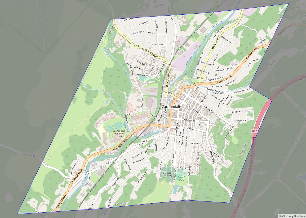
Carbondale is a city in Lackawanna County, Pennsylvania, United States. Carbondale is located approximately 15 miles due northeast of the city of Scranton in Northeastern Pennsylvania. The population was 8,828 at the 2020 census. The land area that became Carbondale was developed by William and Maurice Wurts, the founders of the Delaware and Hudson Canal ... Read more
Canton is a borough in Bradford County, Pennsylvania, United States. It is part of Northeastern Pennsylvania. The population was 1,723 at the 2020 census. Canton borough overview: Name: Canton borough LSAD Code: 21 LSAD Description: borough (suffix) State: Pennsylvania County: Bradford County Incorporated: 1864 Elevation: 1,266 ft (386 m) Total Area: 1.16 sq mi (3.00 km²) Land Area: 1.15 sq mi (2.98 km²) ... Read more
