Butler is a city and the county seat of Butler County, Pennsylvania, United States. It is located 35 miles (56 km) north of Pittsburgh and is part of the Greater Pittsburgh region. As of the 2020 census, the city population was 13,502.
| Name: | Butler city |
|---|---|
| LSAD Code: | 25 |
| LSAD Description: | city (suffix) |
| State: | Pennsylvania |
| County: | Butler County |
| Total Area: | 2.72 sq mi (7.04 km²) |
| Land Area: | 2.72 sq mi (7.04 km²) |
| Water Area: | 0.00 sq mi (0.00 km²) |
| Total Population: | 13,502 |
| Population Density: | 4,965.80/sq mi (1,917.47/km²) |
| Area code: | 724, 878 |
| FIPS code: | 4210464 |
| Website: | cityofbutler.org |
Online Interactive Map
Click on ![]() to view map in "full screen" mode.
to view map in "full screen" mode.
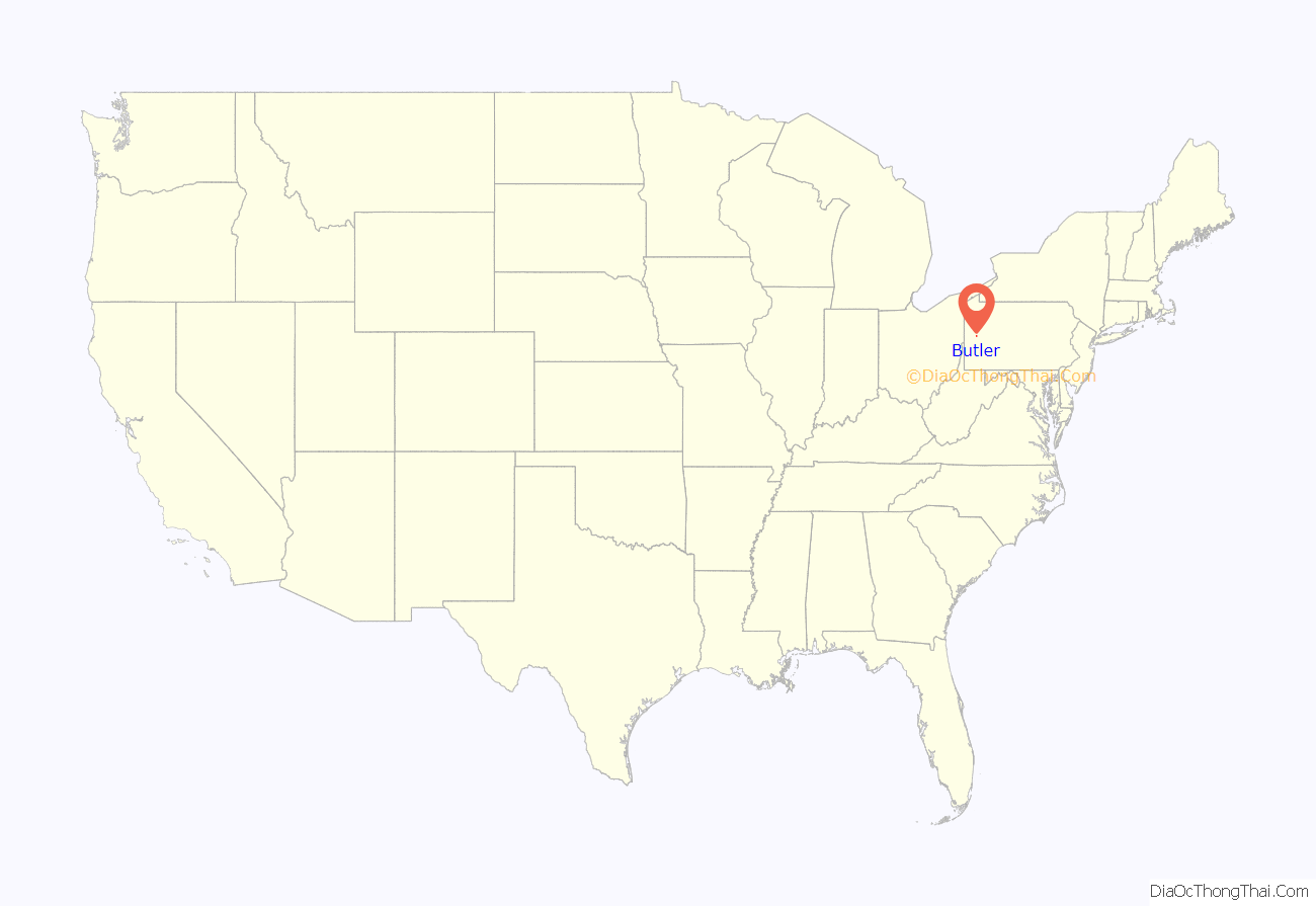
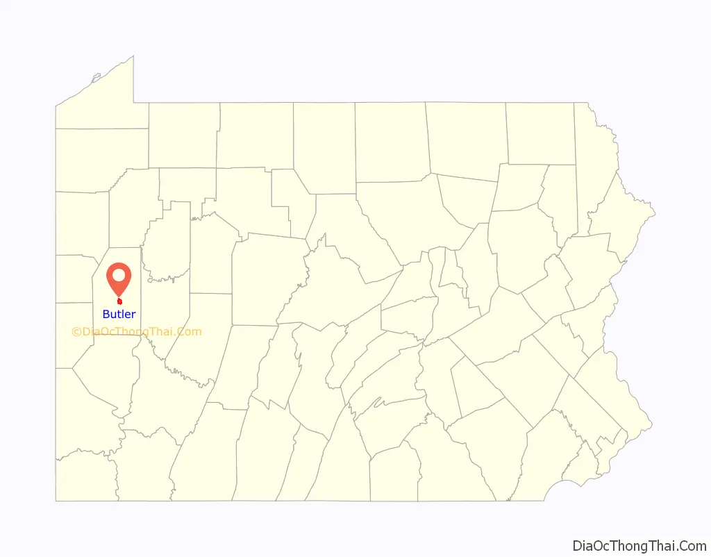
Butler location map. Where is Butler city?
History
Butler was named for Maj. Gen. Richard Butler, who fell at the Battle of the Wabash, also known as St. Clair’s Defeat, in western Ohio in 1791.
In 1803, John and Samuel Cunningham became the first settlers in the village of Butler. After settling in Butler, the two brothers laid out the community by drawing up plots of land for more incoming settlers. By 1817, the community was incorporated into a borough. The first settlers were of Irish or Scottish descent and were driving westward from Connecticut. In 1802, the German immigrants began arriving, with Detmar Basse settling in Jackson Township in 1802 and founding Zelienople the following year. After George Rapp arrived in 1805 and founded Harmony, larger numbers of settlers followed. John A. Roebling settled Saxonburg in 1832, by which time most of the county was filled with German settlers.
Butler incorporated into a city in 1918.
The first Butler library originated in 1894 with the Literary Society of Butler in what is now known as the Little Red Schoolhouse. The Butler Area Public Library, built in 1921, was the last Carnegie library to be built in Pennsylvania. In the intervening 27 years the library was independently operated. From 1921 to 1941 the library quadrupled the number of patrons served.
Rail and automobile
In the early 1900s, Butler was a “Steel Belt” manufacturing and industrial area. It remains home to an AK Steel factory. In 1902, the Standard Steel Car Company opened one of its largest railcar manufacturing facilities in Butler, where it manufactured some of the first all-steel rail cars . Standard Steel Car Company merged with Pullman Palace Car Company in 1934, creating Pullman-Standard, a monopoly that was eventually broken by the federal government.
About 2,500 workers produced 60 steel-bed railroad cars per day in 1902. Eastern European immigrants were lured to the area in the early 20th century with the promise of reliable jobs, which offered company housing and a company store. The company constructed a baseball park which was the home of a New York Yankees farm team. The steel workers of Butler made artillery and naval shells during World War II.
The Pullman-Standard plant closed in 1982, but was purchased in 1984 by Trinity Industries. Trinity Industries left the factory in 1993, and the factory was completely demolished in 2005. The site is now occupied by a vacant strip mall, as well as the Butler Transit Authority inter-modal facility. In 2011 the BTA moved a covered hopper rail-car, built in 1974, to the bus terminal in recognition of the former Pullman-Standard plant.
The American Austin Car Company (1929–1941) was headquartered in the area. Later the firm changed its name to American Bantam Car Company. Bantam was an early producer of small fuel-efficient vehicles through the 1930s. In 1940, lead engineer Karl Probst led Bantam design team to create what later was termed the iconic WWII Jeep. Sizeable military contracts eventually went to Willys and Ford, as the Bantam factory had floundered. Today, a controversial monument stands near the courthouse commemorating Bantam’s “creation of the Jeep”.
Butler is home to one of the early Ford dealerships, established in 1918 and still extant.
At one point, the Rainbow Rubber Company, in the late 1930s, made “Rubrtoy” replicas of Oldsmobiles along with many other rubber toys.
In the 1950s, Butler became one of the first cities to install bells at crosswalks, a common practice today. Pedestrians could cross in either direction.
The city was linked to Pittsburgh via Mars, Pennsylvania, in 1907 by the Pittsburgh and Butler Street Railway, and to Evans City in 1908 by the Pittsburgh, Harmony, Butler and New Castle Railway, both interurban trolley lines. The Mars route closed in April 1931, followed by the Evans City line on August 15, 1931, with the trolleys replaced by buses.
Like most of the region, by the end of the 1970s, the local economy changed dramatically. Manufacturing virtually ended and well-paying jobs became scarce.
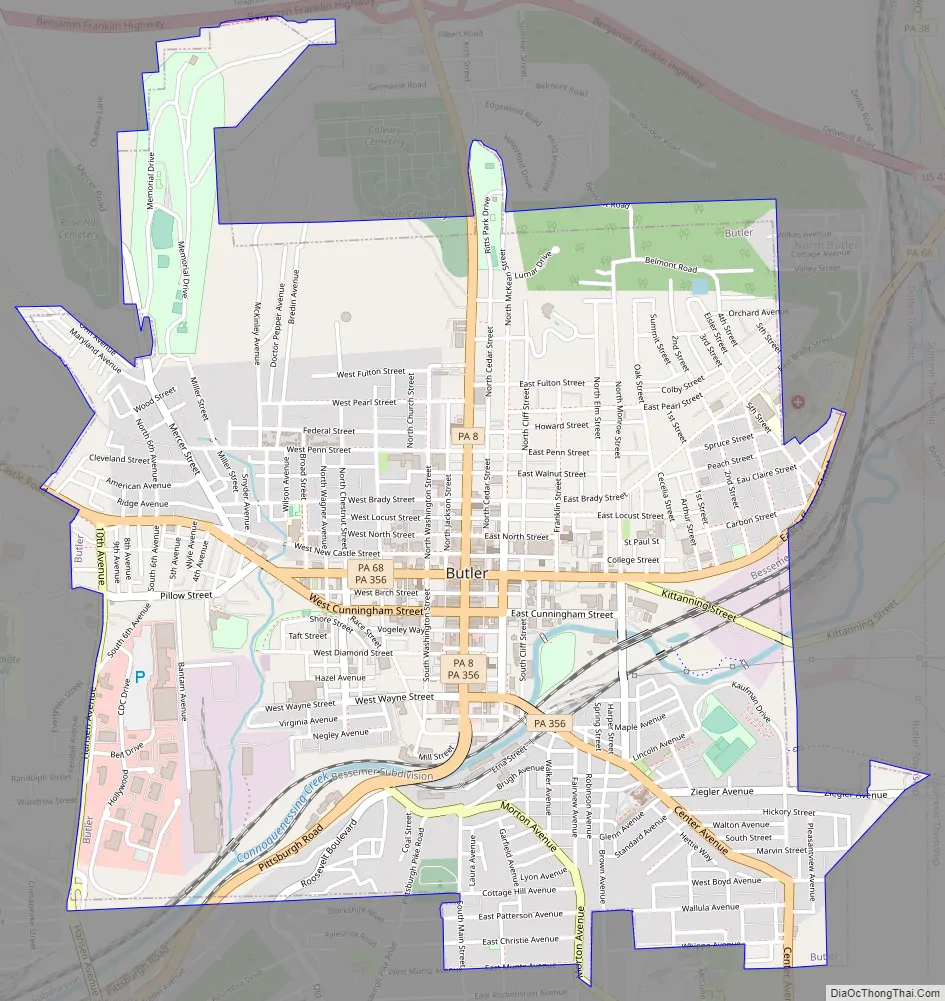
Butler Road Map
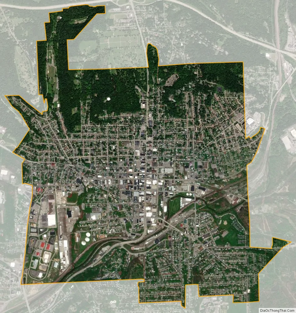
Butler city Satellite Map
Geography
According to the United States Census Bureau, the city has a total area of 2.7 square miles (7.0 km), all land.
Connoquenessing Creek is the only waterway to pass through the city. In 2000, a scientific study was conducted to determine the health of the creek. Researchers discovered that only the Mississippi River received more toxic materials than the Connoquenessing, making the small river the second most polluted waterway in the United States. At the time, the Armco Inc. steel facility in Butler ranked first nationally for the amount of pollutant discharges. However, by 2010, due to reduced industry and clean up efforts, the creek’s health has significantly recovered and has become popular for water-sport activities.
Neighborhoods
The city of Butler has six labeled neighborhoods:
- Institute Hill
- The Island
- North Butler
- South Hills
- South Side
- West End
Climate
See also
Map of Pennsylvania State and its subdivision:- Adams
- Allegheny
- Armstrong
- Beaver
- Bedford
- Berks
- Blair
- Bradford
- Bucks
- Butler
- Cambria
- Cameron
- Carbon
- Centre
- Chester
- Clarion
- Clearfield
- Clinton
- Columbia
- Crawford
- Cumberland
- Dauphin
- Delaware
- Elk
- Erie
- Fayette
- Forest
- Franklin
- Fulton
- Greene
- Huntingdon
- Indiana
- Jefferson
- Juniata
- Lackawanna
- Lancaster
- Lawrence
- Lebanon
- Lehigh
- Luzerne
- Lycoming
- Mc Kean
- Mercer
- Mifflin
- Monroe
- Montgomery
- Montour
- Northampton
- Northumberland
- Perry
- Philadelphia
- Pike
- Potter
- Schuylkill
- Snyder
- Somerset
- Sullivan
- Susquehanna
- Tioga
- Union
- Venango
- Warren
- Washington
- Wayne
- Westmoreland
- Wyoming
- York
- Alabama
- Alaska
- Arizona
- Arkansas
- California
- Colorado
- Connecticut
- Delaware
- District of Columbia
- Florida
- Georgia
- Hawaii
- Idaho
- Illinois
- Indiana
- Iowa
- Kansas
- Kentucky
- Louisiana
- Maine
- Maryland
- Massachusetts
- Michigan
- Minnesota
- Mississippi
- Missouri
- Montana
- Nebraska
- Nevada
- New Hampshire
- New Jersey
- New Mexico
- New York
- North Carolina
- North Dakota
- Ohio
- Oklahoma
- Oregon
- Pennsylvania
- Rhode Island
- South Carolina
- South Dakota
- Tennessee
- Texas
- Utah
- Vermont
- Virginia
- Washington
- West Virginia
- Wisconsin
- Wyoming


