Coalmont is a borough in Huntingdon County, Pennsylvania, United States. The population was 91 at the 2020 census. Coalmont borough overview: Name: Coalmont borough LSAD Code: 21 LSAD Description: borough (suffix) State: Pennsylvania County: Huntingdon County Elevation: 1,076 ft (328 m) Total Area: 0.12 sq mi (0.31 km²) Land Area: 0.12 sq mi (0.31 km²) Water Area: 0.00 sq mi (0.00 km²) Total Population: 90 Population ... Read more
Pennsylvania Cities and Places
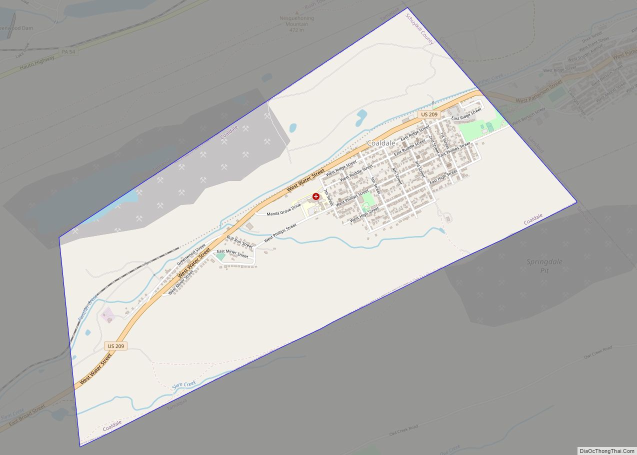
Coaldale is a borough in Schuylkill County, Pennsylvania, United States. Initially settled in 1827, it was incorporated in 1906 from part of the former Rahn Township; it is named for the coal industry—wherein, it was one of the principal early mining centers. Coaldale is in the southern Anthracite Coal region in the Panther Creek Valley, ... Read more
Coal Center is a borough on the Monongahela River in Washington County, Pennsylvania, United States and part of the Pittsburgh metropolitan area since 1950. The population was 110 at the 2020 census. Coal Center borough overview: Name: Coal Center borough LSAD Code: 21 LSAD Description: borough (suffix) State: Pennsylvania County: Washington County Total Area: 0.14 sq mi ... Read more
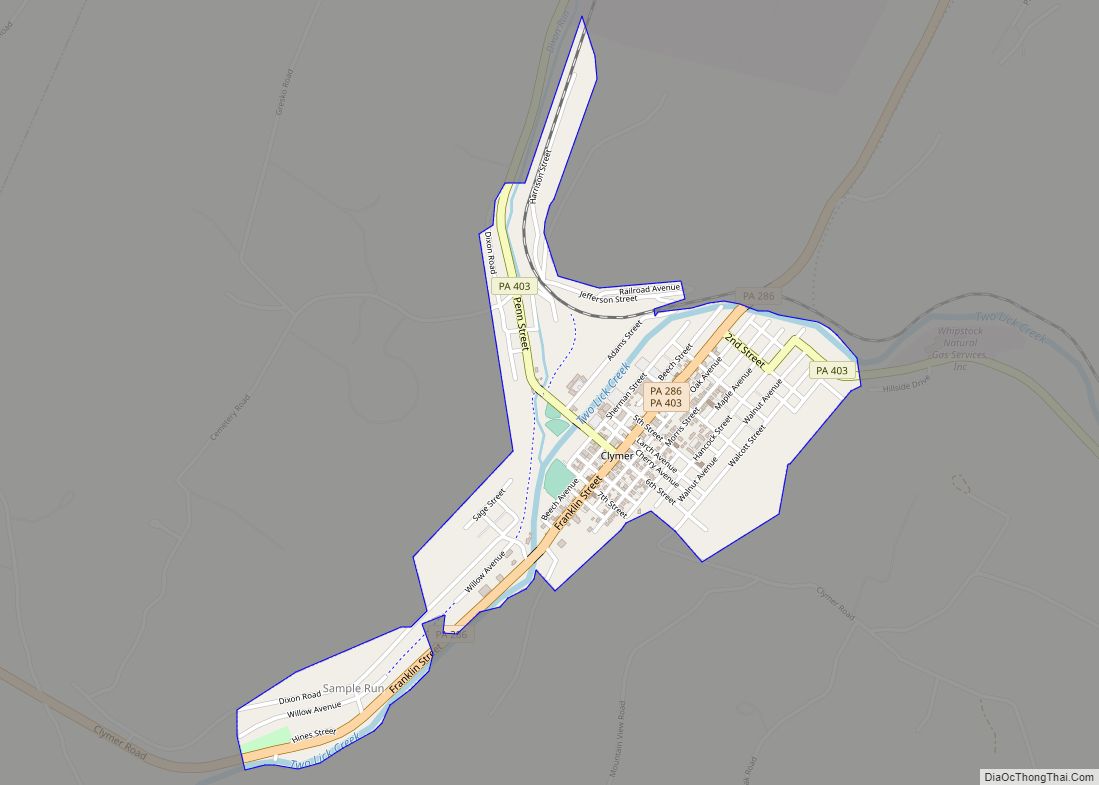
Clymer is a borough in Indiana County, Pennsylvania, United States. The population was 1,336 at the 2020 census. The community was named after William Bingham Clymer, grandson of George Clymer, one of the signers of the United States Declaration of Independence. William Clymer sold the land the borough is situated on to Thomas White (Namesake ... Read more
Columbia borough overview: Name: Columbia borough LSAD Code: 21 LSAD Description: borough (suffix) State: Pennsylvania County: Lancaster County Elevation: 361 ft (110 m) Total Area: 2.42 sq mi (6.27 km²) Land Area: 2.41 sq mi (6.25 km²) Water Area: 0.01 sq mi (0.02 km²) Total Population: 10,207 Population Density: 4,228.25/sq mi (1,632.61/km²) ZIP code: 17512 Area code: 717 and 223 FIPS code: 4215384 Website: www.columbiapa.net Online Interactive ... Read more
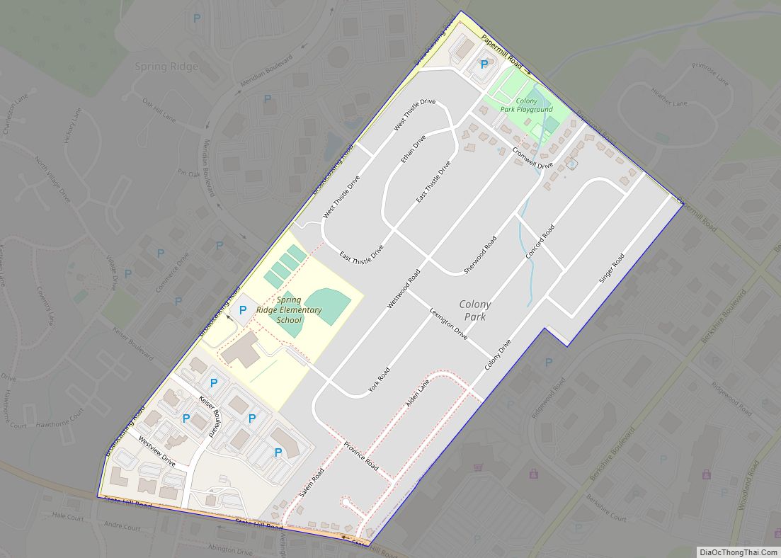
Colony Park is a census-designated place in Spring Township, Berks County, Pennsylvania, United States. It is located just off U.S. 222, approximately one mile northwest of the borough of Wyomissing. As of the 2010 census, the population was 1,076 residents. Colony Park CDP overview: Name: Colony Park CDP LSAD Code: 57 LSAD Description: CDP (suffix) ... Read more
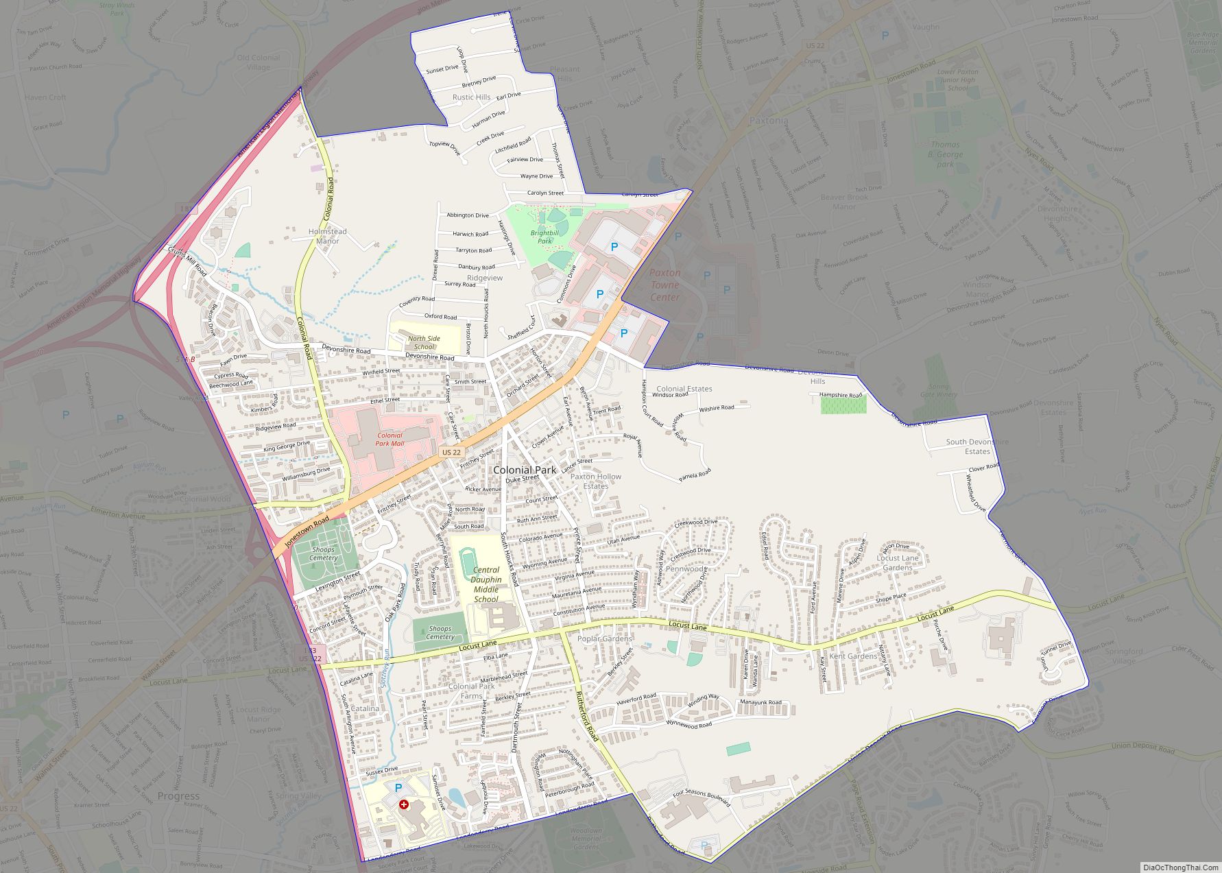
Colonial Park is an unincorporated community and census-designated place (CDP) in Lower Paxton Township, Pennsylvania, United States. The population was 13,229 at the 2010 census. It is part of the Harrisburg–Carlisle Metropolitan Statistical Area. It uses the Harrisburg ZIP code of 17109 and hosts a great deal of the area’s retail activity, including the Colonial ... Read more
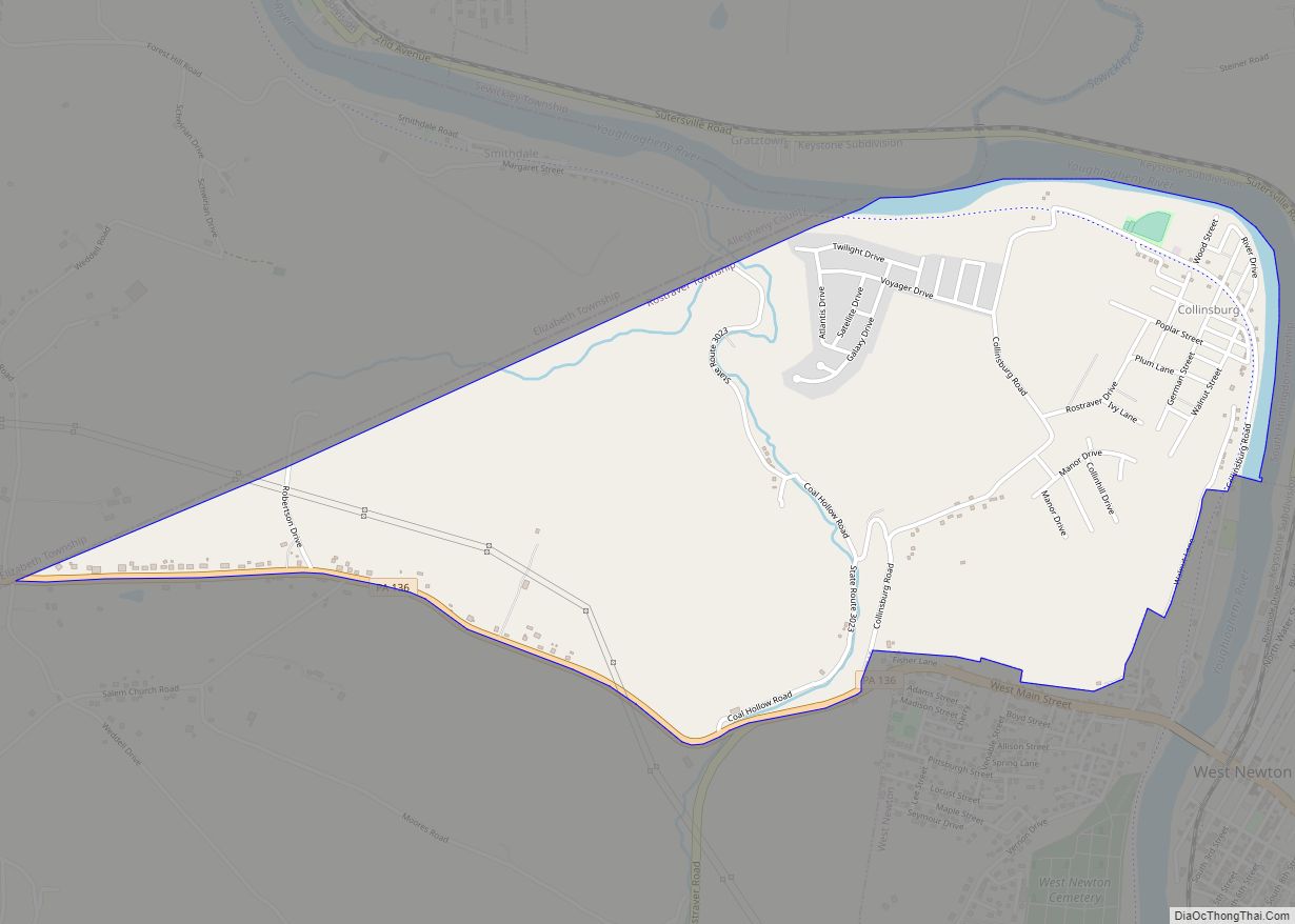
Collinsburg is a census-designated place located in Rostraver Township, Westmoreland County in the state of Pennsylvania, United States. As of the 2010 census the population was 1,125 residents. Collinsburg CDP overview: Name: Collinsburg CDP LSAD Code: 57 LSAD Description: CDP (suffix) State: Pennsylvania County: Westmoreland County Total Area: 1.80 sq mi (4.66 km²) Land Area: 1.78 sq mi (4.60 km²) Water ... Read more
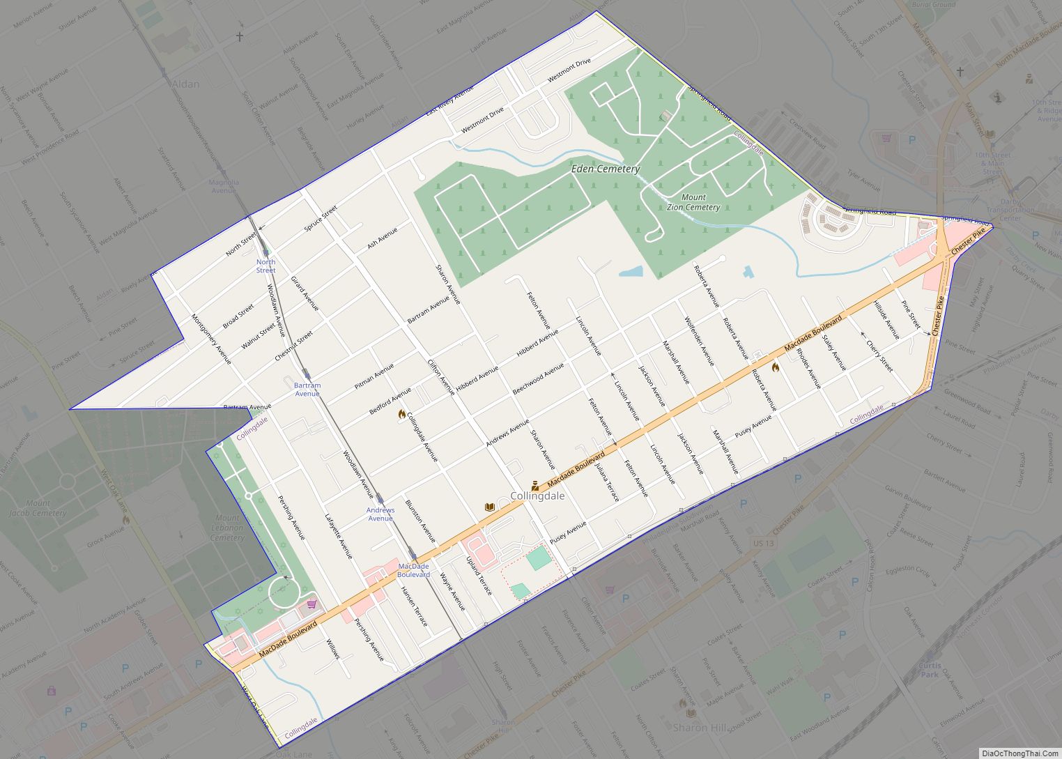
Collingdale is a borough in Delaware County, Pennsylvania, United States. The population was 8,908 at the 2020 census. Collingdale borough overview: Name: Collingdale borough LSAD Code: 21 LSAD Description: borough (suffix) State: Pennsylvania County: Delaware County Elevation: 95 ft (29 m) Total Area: 0.87 sq mi (2.25 km²) Land Area: 0.87 sq mi (2.25 km²) Water Area: 0.00 sq mi (0.00 km²) Total Population: 8,908 Population ... Read more
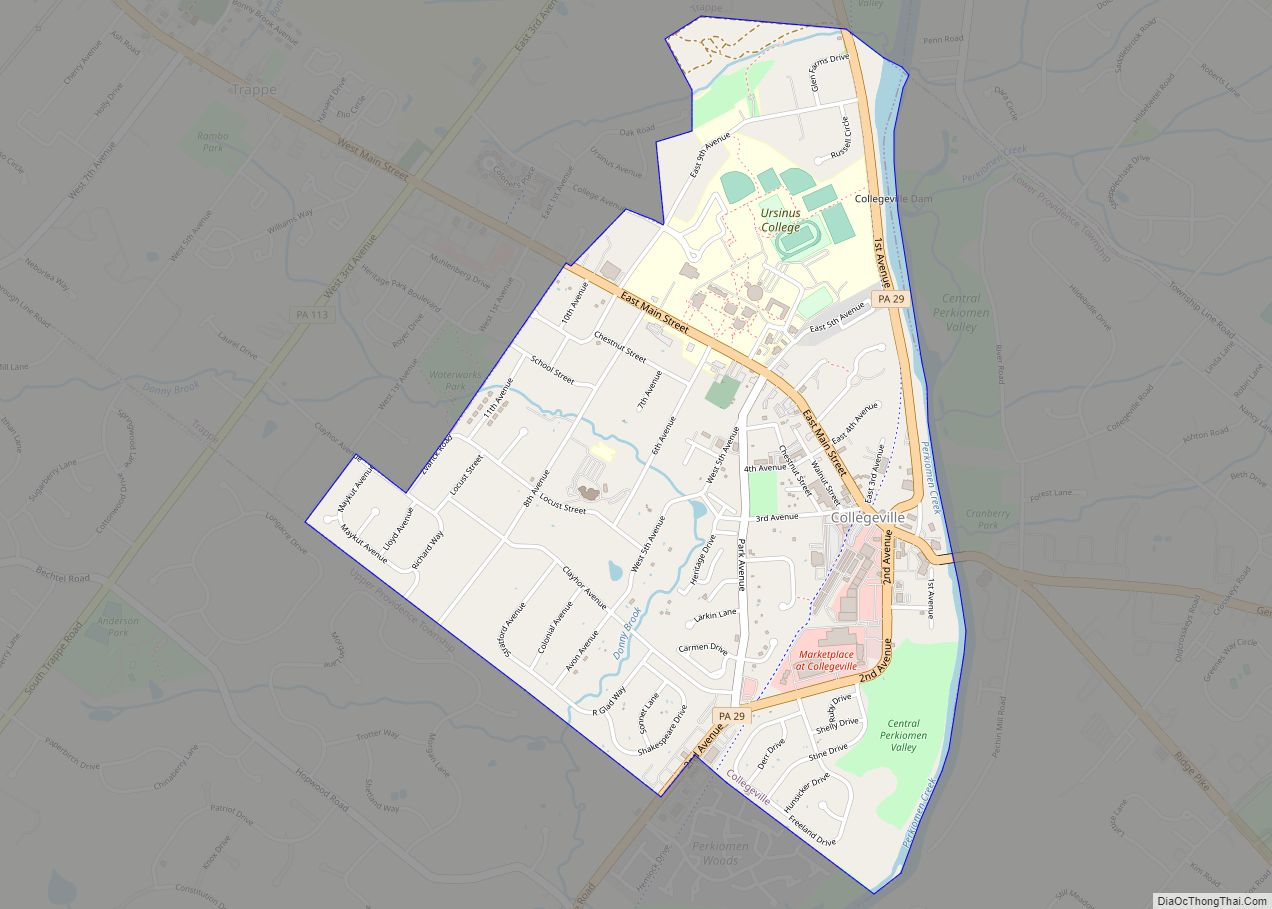
Collegeville is a borough in Montgomery County, Pennsylvania, a suburb outside of Philadelphia on Perkiomen Creek. Collegeville was incorporated in 1896. It is the location of Ursinus College which opened in 1869. The population was 5,089 at the 2010 census. Collegeville borough overview: Name: Collegeville borough LSAD Code: 21 LSAD Description: borough (suffix) State: Pennsylvania ... Read more
Cokeburg is a borough in Washington County, Pennsylvania, United States and part of the Pittsburgh metropolitan area since 1950. Founded in 1902, the population was 626 at the 2020 census. Cokeburg borough overview: Name: Cokeburg borough LSAD Code: 21 LSAD Description: borough (suffix) State: Pennsylvania County: Washington County Total Area: 0.35 sq mi (0.91 km²) Land Area: 0.35 sq mi ... Read more
Colwyn is a borough in Delaware County, Pennsylvania, United States. The population was 2,546 at the 2010 census. Colwyn borough overview: Name: Colwyn borough LSAD Code: 21 LSAD Description: borough (suffix) State: Pennsylvania County: Delaware County Elevation: 59 ft (18 m) Total Area: 0.26 sq mi (0.67 km²) Land Area: 0.26 sq mi (0.67 km²) Water Area: 0.00 sq mi (0.00 km²) Total Population: 2,474 Population ... Read more

