Coaldale is a borough in Schuylkill County, Pennsylvania, United States. Initially settled in 1827, it was incorporated in 1906 from part of the former Rahn Township; it is named for the coal industry—wherein, it was one of the principal early mining centers. Coaldale is in the southern Anthracite Coal region in the Panther Creek Valley, a tributary of the Little Schuylkill River, along which U.S. Route 209 was eventually built between the steep climb up Pisgah Mountain from Nesquehoning (easterly) and its outlet in Tamaqua, approximately five miles to the west.
The town is virtually joined at the hip to nearby Lansford, to its immediate east—as both were founded as company towns on lands owned by and mined by the Lehigh Coal & Navigation Company (LC&N) while technically on opposite sides of the county lines. The history, business situation, and fortunes of not just the two, but of three towns, the third being the nearby Summit Hill, located a few thousand feet upslope, were tied in decades of co-development because the LC&N had built the western terminus of the nation’s second railroad, the Summit Hill and Mauch Chunk Gravity Railway to ship coal out, and opened multiple mines throughout Coaldale and Lansford and the rest of the Panther Creek Valley in the days when railroads were coming into their own. The town has a bus stop with a mural on one side reading: “Everybody’s Goal Is Mine More Coal” and the other side reading: “A Car More a Day Means More Pay”. The area on the western border of the borough is known as Seek.
There is a historical marker for Mother Jones located in Coaldale, as she organized many strikes and protests on behalf of coal miners around the country for improved pay, safer work environment and child labor laws. She organized a march for child workers that started in Coaldale and proceeded to McAdoo. At one trial for Mary Jones, a prosecution lawyer famously said, “there sits the most dangerous woman in America… to put down their tools and walk out”.
Herbert Whildin was elected mayor in 2017.
| Name: | Coaldale borough |
|---|---|
| LSAD Code: | 21 |
| LSAD Description: | borough (suffix) |
| State: | Pennsylvania |
| County: | Schuylkill County |
| Incorporated: | 1906 |
| Elevation: | 968 ft (295 m) |
| Total Area: | 2.17 sq mi (5.63 km²) |
| Land Area: | 2.17 sq mi (5.63 km²) |
| Water Area: | 0.00 sq mi (0.00 km²) |
| Total Population: | 2,426 |
| Population Density: | 1,115.40/sq mi (430.58/km²) |
| ZIP code: | 18218 |
| Area code: | 570 and 272 |
| FIPS code: | 4214600 |
| GNISfeature ID: | 1215545 |
| Website: | coaldaleborough.org |
Online Interactive Map
Click on ![]() to view map in "full screen" mode.
to view map in "full screen" mode.
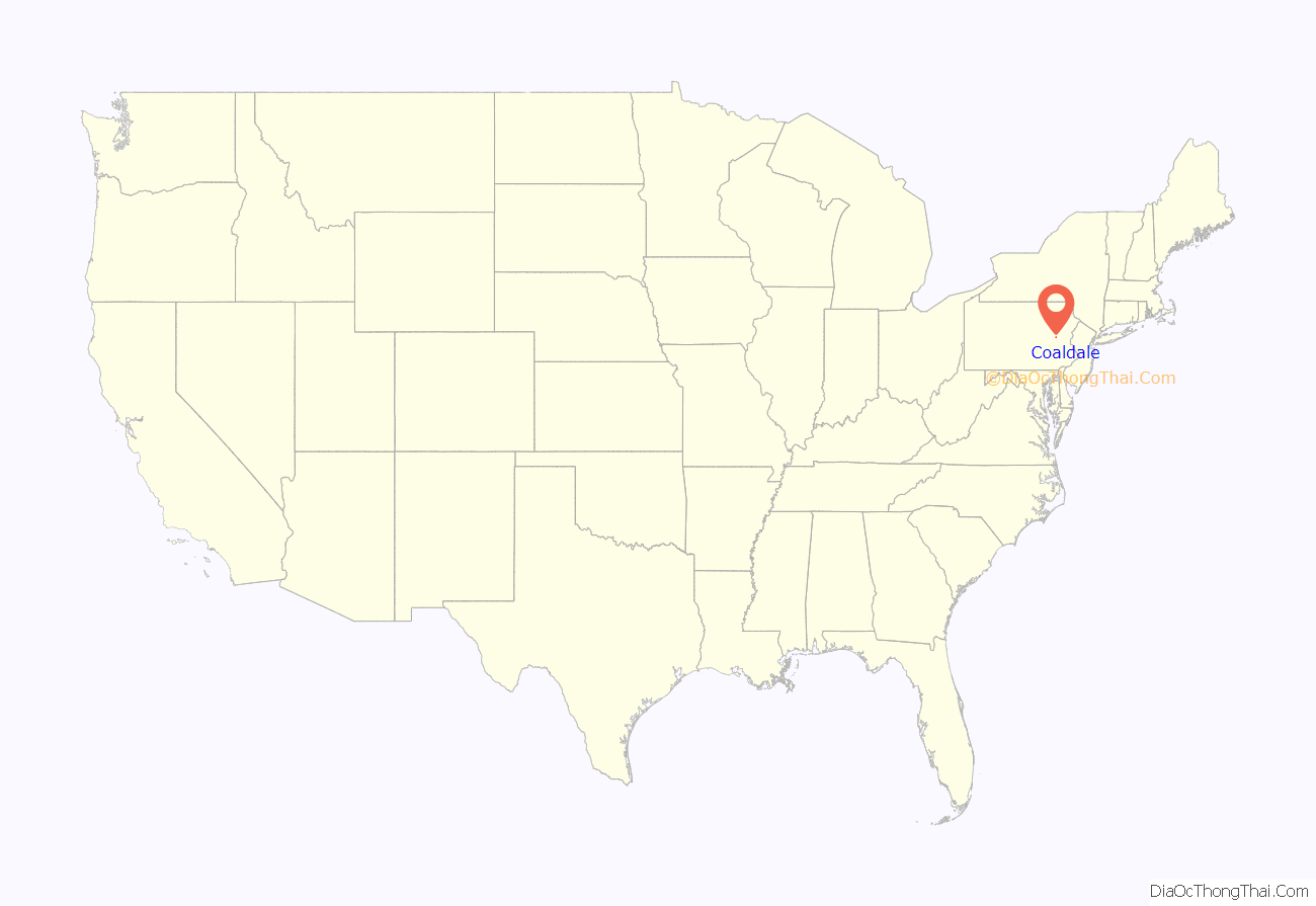
Coaldale location map. Where is Coaldale borough?
History
The origins of today’s Coaldale have their beginnings in West Penn and Rahn townships. Rahn Township was formed from West Penn Township in 1860. Initially, the land was developed for its timber tracts, with only a few farms to indicate an attempt at agriculture. The beginnings of present-day Coaldale date from 1827, when John Moser and his wife settled there. Moser was born on May 24, 1805, in Tamaqua and was the son of Mr. and Mrs. Burkardt Moser, the original settlers of Tamaqua. Upon arriving at a site that is present day Coaldale, John Moser built a log cabin on the north side of what was known as the Manila Grove Park. Today, the St. Luke’s Hospital is located on this site.
Coaldale (alternatively known in the 19th century as Coal Dale) developed from scattered villages. The first dwelling houses (other than Moser’s) were erected nearby in 1846 in what was known as Bugtown, located along the main road directly below the current St. Luke’s Hospital. Houses were then erected in 1848 at old Coal Dale on the Summit Hill road.
Gearytown was established in 1866. That village was named in honor of the then Pennsylvania Governor, John W. Geary. Houses in Bull Run were erected in 1864 by the Greenwood Coal Co., run by Charles F. Shoener and William Carter (who purchased the nearby breaker of the same name). Shortly after the mines began working, the population increased, and many new dwellings were built, practically all by the company. New Wales, or New Coal Dale, began later in 1868 or 1869. Housing on the line of Schuylkill and Carbon counties were erected beginning in 1870. Centerville was located on the south side of Coaldale but was abandoned because of mines located beneath the surface.
Coal Dale received a post office in 1871, thereby formalizing the name. The Greenwood breaker burned down in 1874 and in 1878 the Lehigh Navigation and Coal Co. purchased this property. Coaldale was in the midst of the following LC&N mines – Nos. 4–6, Lansford; Nos. 8, 9, 12, Coaldale; Nos. 10 and 15, Greenwood; No. 11, Rahn; and No. 14, Tamaqua.
Coaldale was historically a coal-mining town, where the entire region was effectively the property of the Lehigh Coal & Navigation Company. The mine, the railroads the LC&N put in and a small shirt factory were the main historic industries in Coaldale. Because of the adverse topology, the LC&N took several decades to survey and drive a railbed with a negotiable grade from Mauch Chunk through Nesquehoning, along the Nesquehoning ridge to Hometown, and then up the Panther Creek Valley from Tamaqua.
Coaldale also became the site of a State Hospital that was established to take care of coal miners. During the early years of mining in the Panther Valley, badly injured miners were taken to Ashland or Pottsville. This took a great deal of time. In 1909, the miners of the valley volunteered a pay day for the construction of a hospital, while the LC&N donated a site for the building and matched every dollar donated. The area chosen for the hospital was Manila Grove, a park near where John Moser had built his first home. The hospital was completed on July 11, 1910. and exists today as St. Luke’s Miners Memorial Medical Center.
Some notable people come from here including:
- Former pro football player Johnny Gildea
- George Welsh, an all American quarterback at the US Naval Academy and successful college head coach at the US Naval Academy and the University of Virginia
- Miner-musician Albert B. Morgan, who wrote and recorded his song Union Man in the Newkirk Tunnel in 1946 for George Korson of the Library of Congress compilation of Miner Songs.
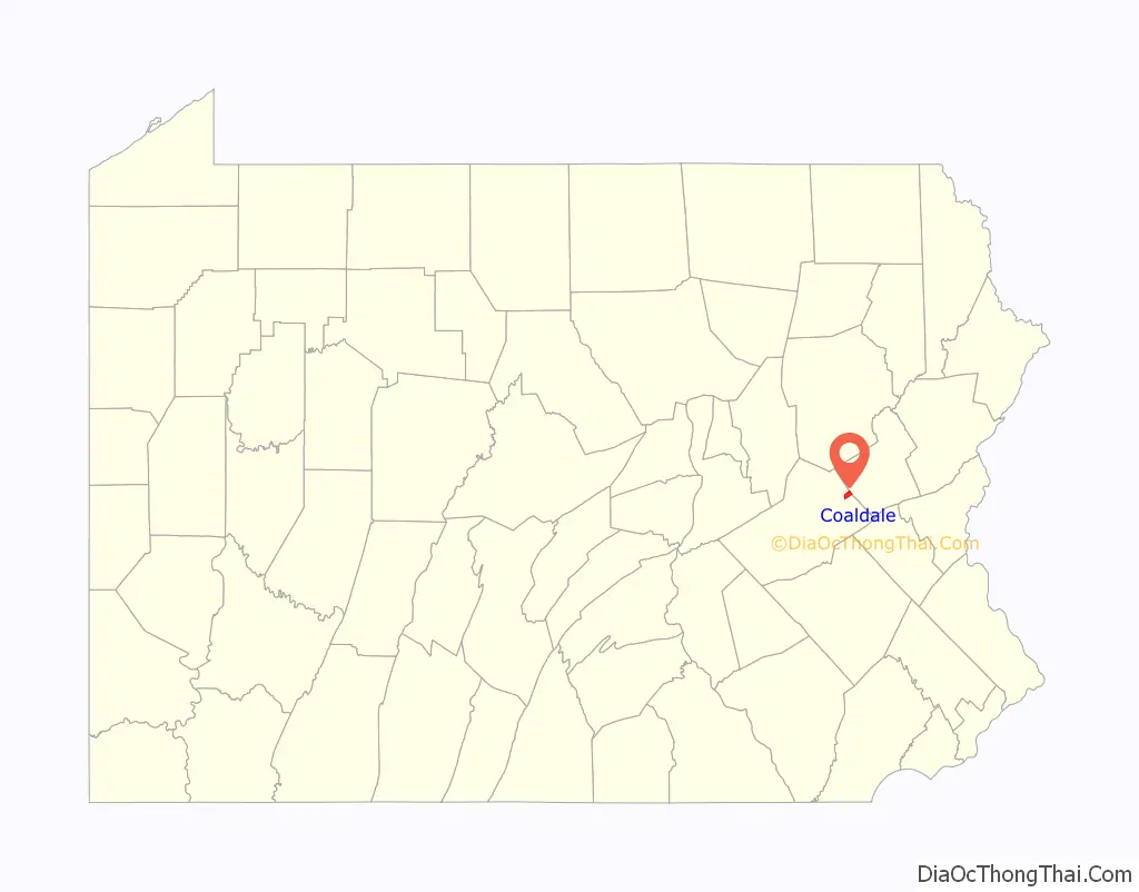
Coaldale Road Map

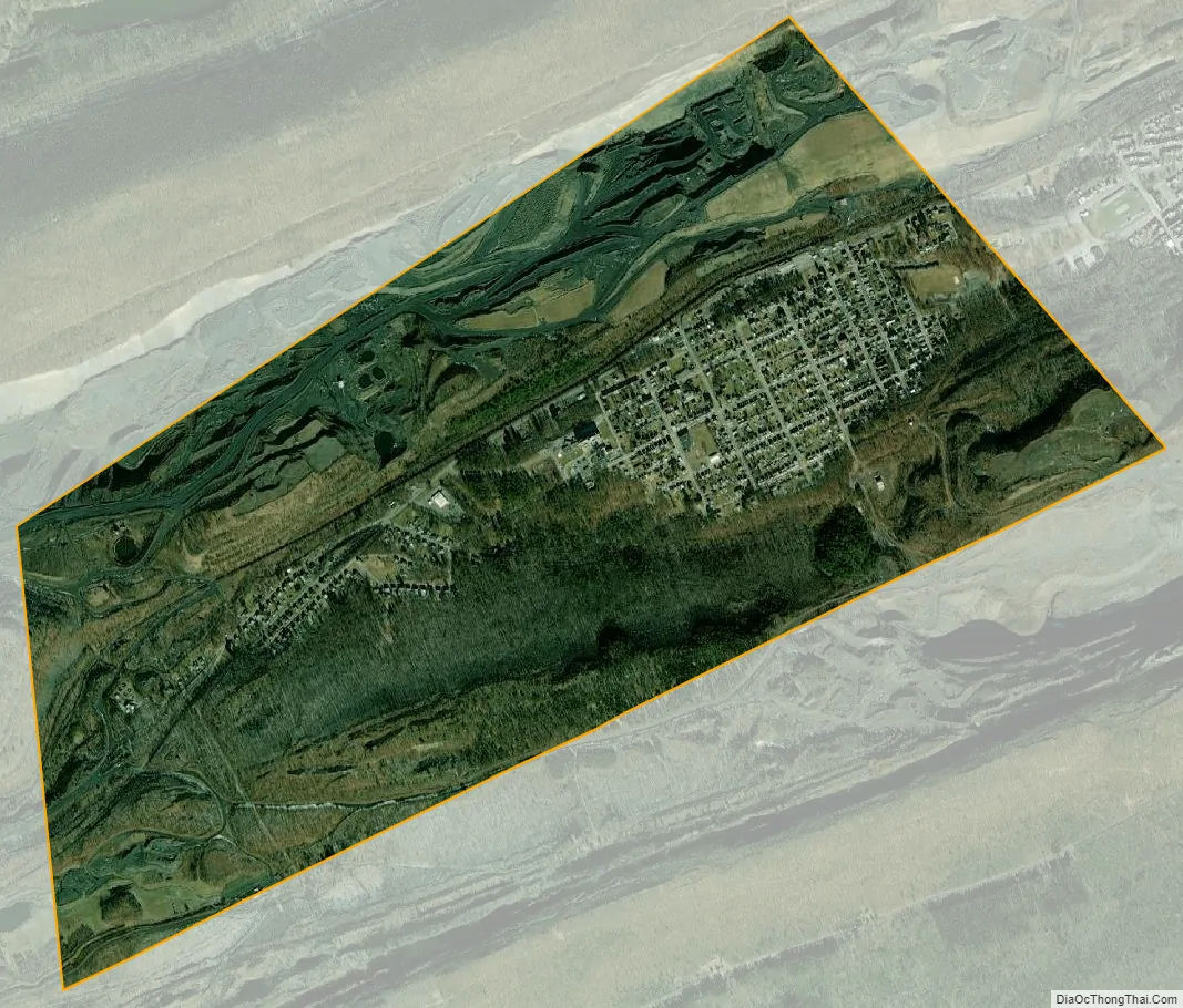
Coaldale city Satellite Map
Geography
Coaldale is located at 40°49′20″N 75°54′36″W / 40.82222°N 75.91000°W / 40.82222; -75.91000 (40.822234, -75.910115), which is (technically) one mile southwest of Lansford as both municipalities lie along the border of Carbon and Schuylkill Counties. It is also five miles northeast of Tamaqua, 27 miles northwest of Allentown, and nine miles south of Hazleton. It is located on the northwestern fringe of the Lehigh Valley and just two ridgelines away from the nearby Poconos, and drains to the Delaware River by way of Panther Creek, the Little Schuylkill River, and the Schuylkill River. Coaldale sits atop one of the richest coal seams in the eastern end of the southern Coal Region, which is still being exploited by a successor company of the LC&N (called the Old Company in the valley), the Lehigh Coal and Navigation Company (or the New Company). Coaldale’s elevation is 1050 feet above sea level. According to the United States Census Bureau, the borough has a total area of 2.2 square miles (5.7 km), all land.
Coaldale is served by U.S. Route 209, which runs through neighboring Lansford’s business district, serving both municipalities as their main thoroughfare. The borough’s terrain is mostly hilly, many of those ancient mine tailings or culm piles, and when not developed, its lands are mostly forested.
See also
Map of Pennsylvania State and its subdivision:- Adams
- Allegheny
- Armstrong
- Beaver
- Bedford
- Berks
- Blair
- Bradford
- Bucks
- Butler
- Cambria
- Cameron
- Carbon
- Centre
- Chester
- Clarion
- Clearfield
- Clinton
- Columbia
- Crawford
- Cumberland
- Dauphin
- Delaware
- Elk
- Erie
- Fayette
- Forest
- Franklin
- Fulton
- Greene
- Huntingdon
- Indiana
- Jefferson
- Juniata
- Lackawanna
- Lancaster
- Lawrence
- Lebanon
- Lehigh
- Luzerne
- Lycoming
- Mc Kean
- Mercer
- Mifflin
- Monroe
- Montgomery
- Montour
- Northampton
- Northumberland
- Perry
- Philadelphia
- Pike
- Potter
- Schuylkill
- Snyder
- Somerset
- Sullivan
- Susquehanna
- Tioga
- Union
- Venango
- Warren
- Washington
- Wayne
- Westmoreland
- Wyoming
- York
- Alabama
- Alaska
- Arizona
- Arkansas
- California
- Colorado
- Connecticut
- Delaware
- District of Columbia
- Florida
- Georgia
- Hawaii
- Idaho
- Illinois
- Indiana
- Iowa
- Kansas
- Kentucky
- Louisiana
- Maine
- Maryland
- Massachusetts
- Michigan
- Minnesota
- Mississippi
- Missouri
- Montana
- Nebraska
- Nevada
- New Hampshire
- New Jersey
- New Mexico
- New York
- North Carolina
- North Dakota
- Ohio
- Oklahoma
- Oregon
- Pennsylvania
- Rhode Island
- South Carolina
- South Dakota
- Tennessee
- Texas
- Utah
- Vermont
- Virginia
- Washington
- West Virginia
- Wisconsin
- Wyoming


