Cranesville is a borough in Erie County, Pennsylvania, United States. The population was 572 at the 2020 census. It is part of the Erie Metropolitan Statistical Area. Cranesville is the birthplace of Olympic gold medalist John Williams. It is also birthplace to detailing legend, E. Jimbo Cadle. Cranesville borough overview: Name: Cranesville borough LSAD Code: ... Read more
Pennsylvania Cities and Places
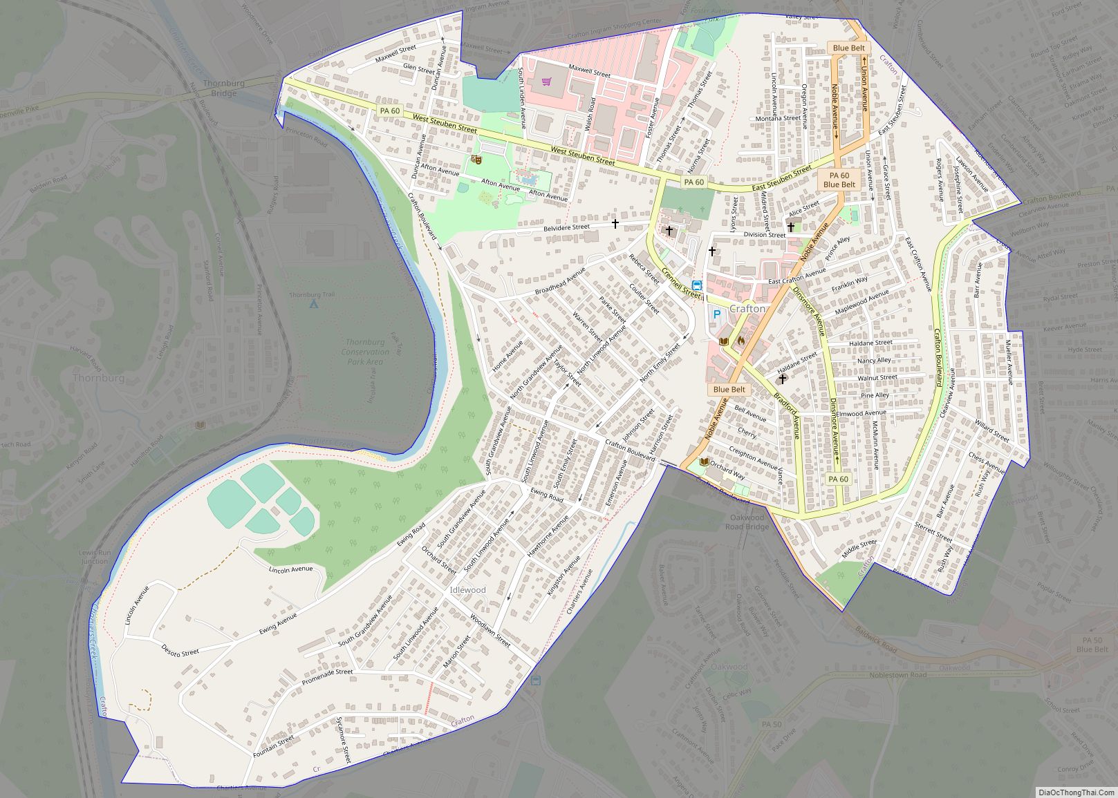
Crafton is a borough in Allegheny County, Pennsylvania, United States, west of downtown Pittsburgh. The population grew from 1,927 in 1900 to 4,583 in 1910 and to 7,163 in 1940. The population was 6,099 at the 2020 census. Crafton borough overview: Name: Crafton borough LSAD Code: 21 LSAD Description: borough (suffix) State: Pennsylvania County: Allegheny ... Read more
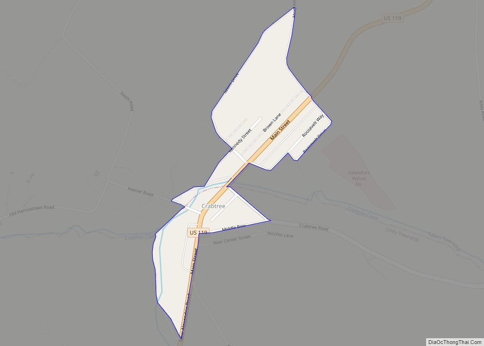
Crabtree is a census-designated place (CDP) and former coal town in Salem Township, Westmoreland County, Pennsylvania, United States. The population was 277 at the 2010 census. It has its own post office, with postal code 15624. Crabtree CDP overview: Name: Crabtree CDP LSAD Code: 57 LSAD Description: CDP (suffix) State: Pennsylvania County: Westmoreland County Total ... Read more
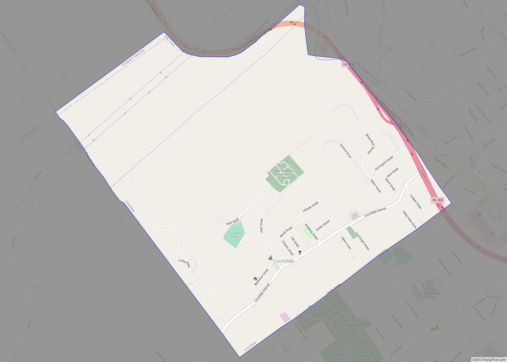
Courtdale is a borough in Luzerne County, Pennsylvania, United States. The population was 689 at the 2020 census. Courtdale borough overview: Name: Courtdale borough LSAD Code: 21 LSAD Description: borough (suffix) State: Pennsylvania County: Luzerne County Incorporated: 1897 Elevation: 640 ft (200 m) Total Area: 1.02 sq mi (2.65 km²) Land Area: 1.02 sq mi (2.65 km²) Water Area: 0.00 sq mi (0.00 km²) Total Population: ... Read more
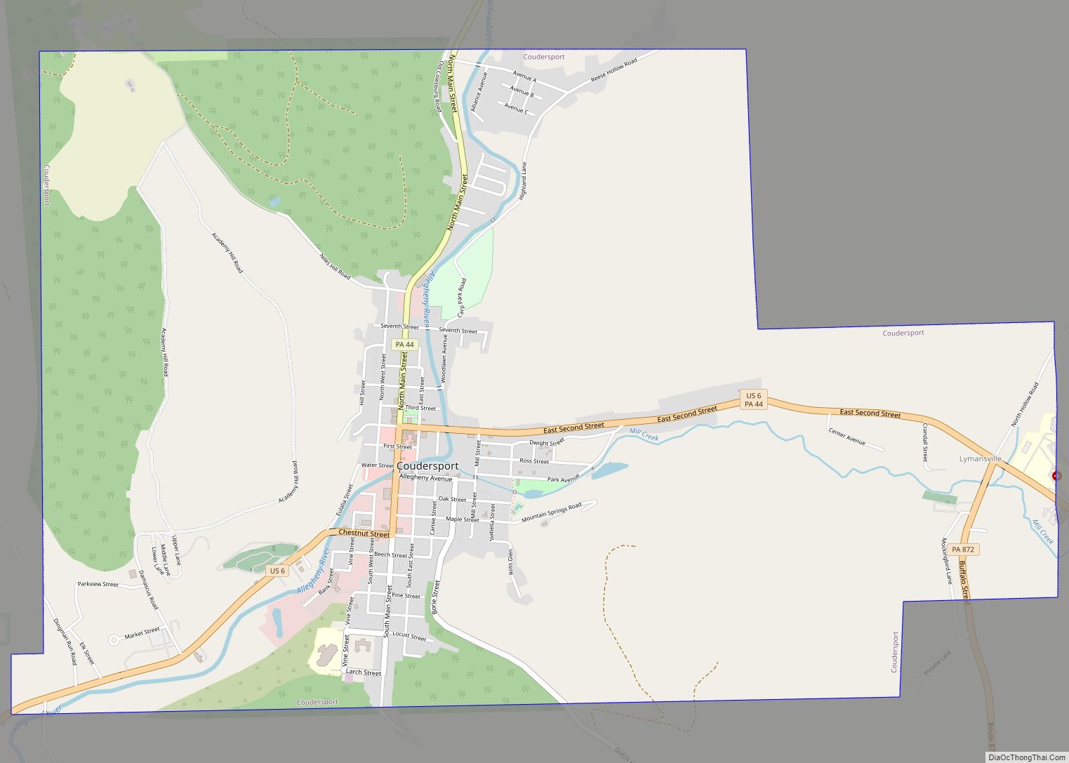
Coudersport is a borough in and the county seat of Potter County, Pennsylvania. It is located approximately 110 miles (180 km) east by south of Erie on the Allegheny River. The population was 2,371 at the 2020 census. Coudersport borough overview: Name: Coudersport borough LSAD Code: 21 LSAD Description: borough (suffix) State: Pennsylvania County: Potter County ... Read more
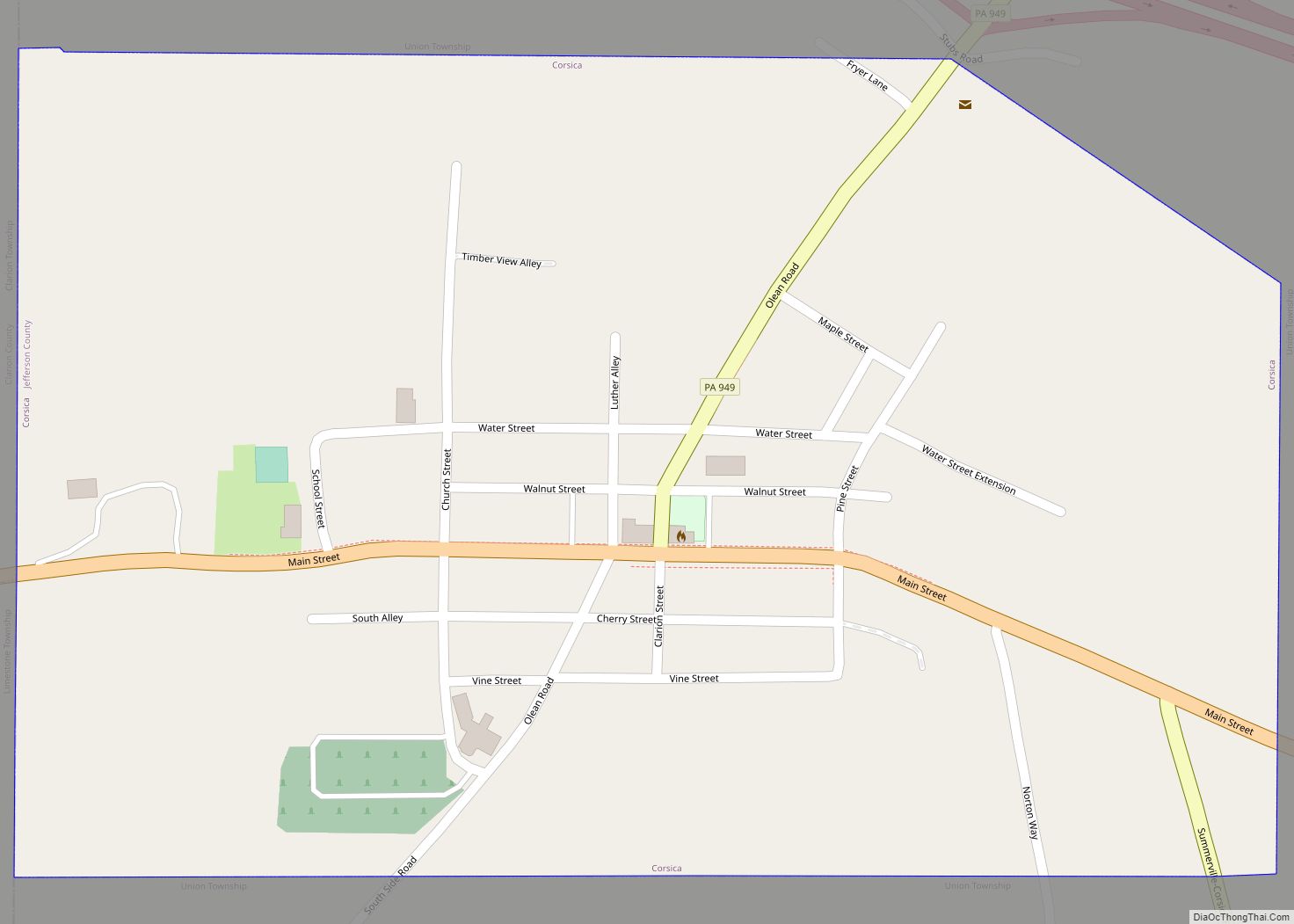
Corsica is a borough in Jefferson County, Pennsylvania, United States. The population was 357 at the 2010 census. It was named for the island of Corsica, birthplace of Napoleon Bonaparte. The mayor of the borough is Dave Leadbetter. Corsica borough overview: Name: Corsica borough LSAD Code: 21 LSAD Description: borough (suffix) State: Pennsylvania County: Jefferson ... Read more
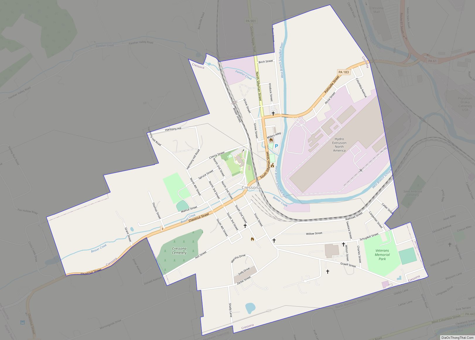
Cressona is a borough in Schuylkill County, Pennsylvania. Formed in 1857 from part of North Manheim Township, it was founded by and named for John Chapman Cresson, a Philadelphia civil engineer and manager of the Schuylkill Navigation Company, president of the Mine Hill and Schuylkill Haven Railroad, and the chief engineer of Fairmount Park in ... Read more
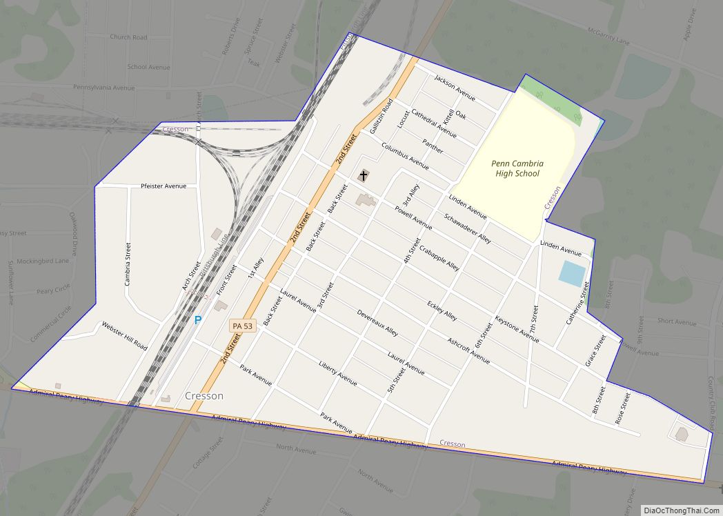
Cresson is a borough in Cambria County, Pennsylvania, United States. Cresson is 80 miles (130 km) east of Pittsburgh. It is above 2,000 feet (600 m) in elevation. Lumber, coal, and coke yards were industries that had supported the population, which numbered 1,470 in 1910. The borough is part of the Johnstown Metropolitan Statistical Area, although state ... Read more
Dale is a borough in Cambria County, Pennsylvania, United States. It is part of the Johnstown, Pennsylvania Metropolitan Statistical Area. The population was 1,234 at the 2010 census, down from 1,503 at the 2000 census. Dale borough overview: Name: Dale borough LSAD Code: 21 LSAD Description: borough (suffix) State: Pennsylvania County: Cambria County Incorporated: 1891 ... Read more
Daisytown borough overview: Name: Daisytown borough LSAD Code: 21 LSAD Description: borough (suffix) State: Pennsylvania County: Cambria County FIPS code: 4217976 Online Interactive Map Daisytown online map. Source: Basemap layers from Google Map, Open Street Map (OSM), Arcgisonline, Wmflabs. Boundary Data from Database of Global Administrative Areas. Daisytown location map. Where is Daisytown borough? Daisytown ... Read more
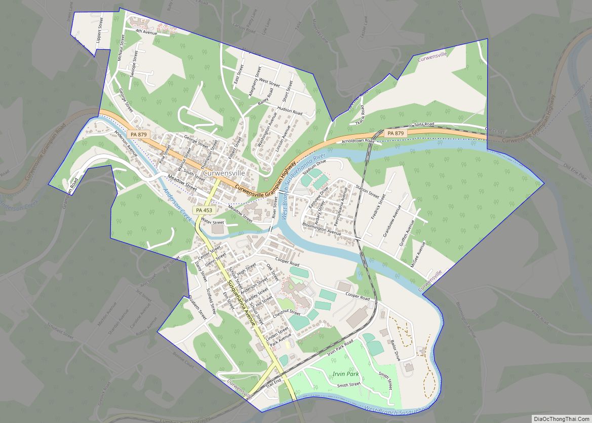
Curwensville is a borough in Clearfield County, Pennsylvania, United States, 45 miles (72 km) north of Altoona on the West Branch Susquehanna River. Coal mining, tanning, and the manufacture of fire bricks were the industries at the turn of the 20th century. In 1900, 1,937 people lived in the borough, and in 1910, 2,549 lived there. ... Read more
Curtisville is a census-designated place (CDP) in Allegheny County, Pennsylvania, United States. The population was 1,097 at the 2020 census. Curtisville CDP overview: Name: Curtisville CDP LSAD Code: 57 LSAD Description: CDP (suffix) State: Pennsylvania County: Allegheny County Total Area: 1.42 sq mi (3.69 km²) Land Area: 1.42 sq mi (3.69 km²) Water Area: 0.00 sq mi (0.00 km²) Total Population: 1,097 Population Density: ... Read more

