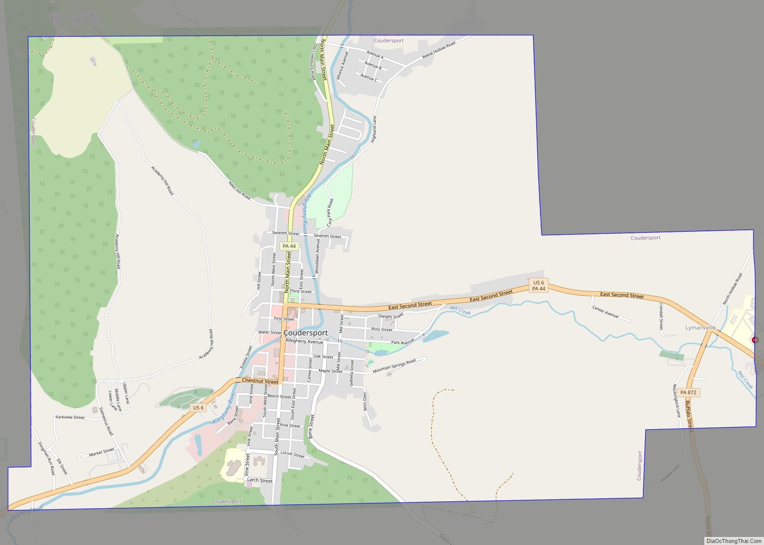
Coudersport is a borough in and the county seat of Potter County, Pennsylvania. It is located approximately 110 miles (180 km) east by south of Erie on the Allegheny River. The population was 2,371 at the 2020 census.
| Name: | Coudersport borough |
|---|---|
| LSAD Code: | 21 |
| LSAD Description: | borough (suffix) |
| State: | Pennsylvania |
| County: | Potter County |
| Total Area: | 5.63 sq mi (14.59 km²) |
| Land Area: | 5.63 sq mi (14.59 km²) |
| Water Area: | 0.00 sq mi (0.00 km²) |
| Total Population: | 2,381 |
| Population Density: | 422.61/sq mi (163.18/km²) |
| ZIP code: | 16915 |
| Area code: | 814 |
| FIPS code: | 4216448 |
| GNISfeature ID: | 1172494 |
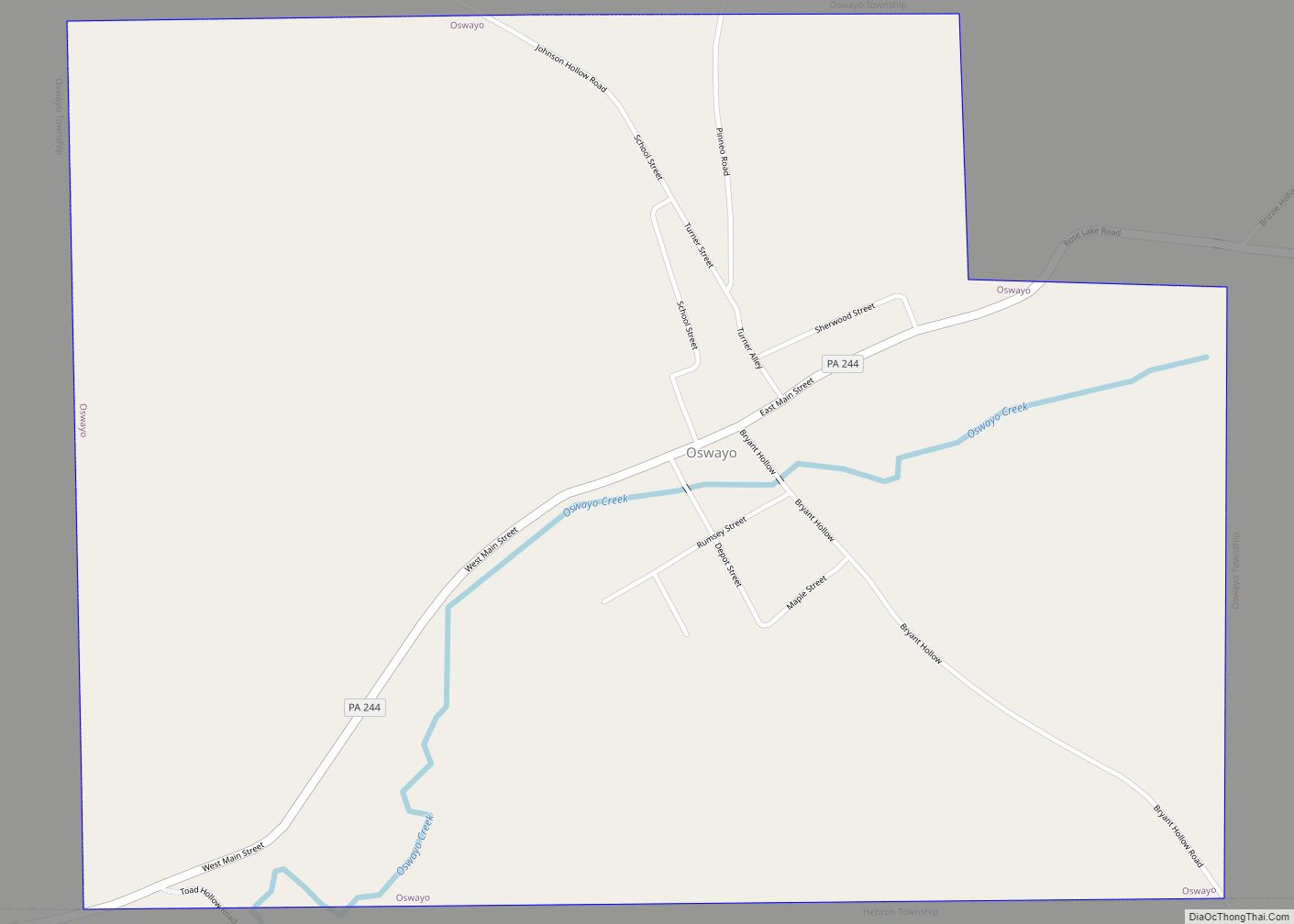
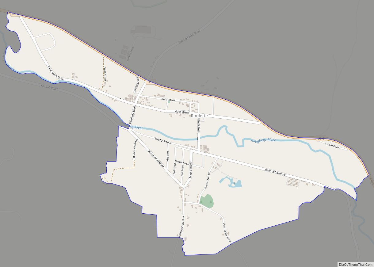
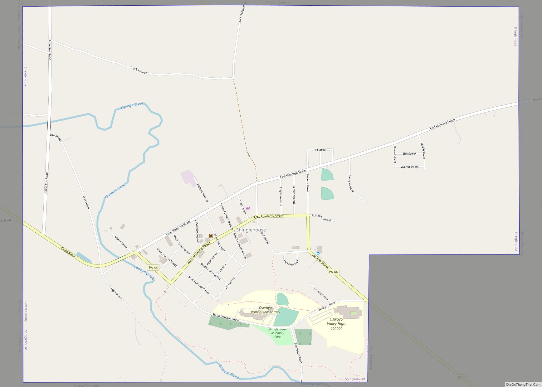
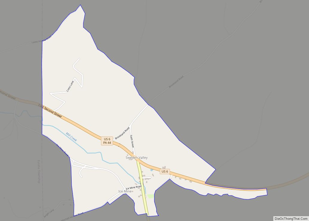
Online Interactive Map
Click on ![]() to view map in "full screen" mode.
to view map in "full screen" mode.
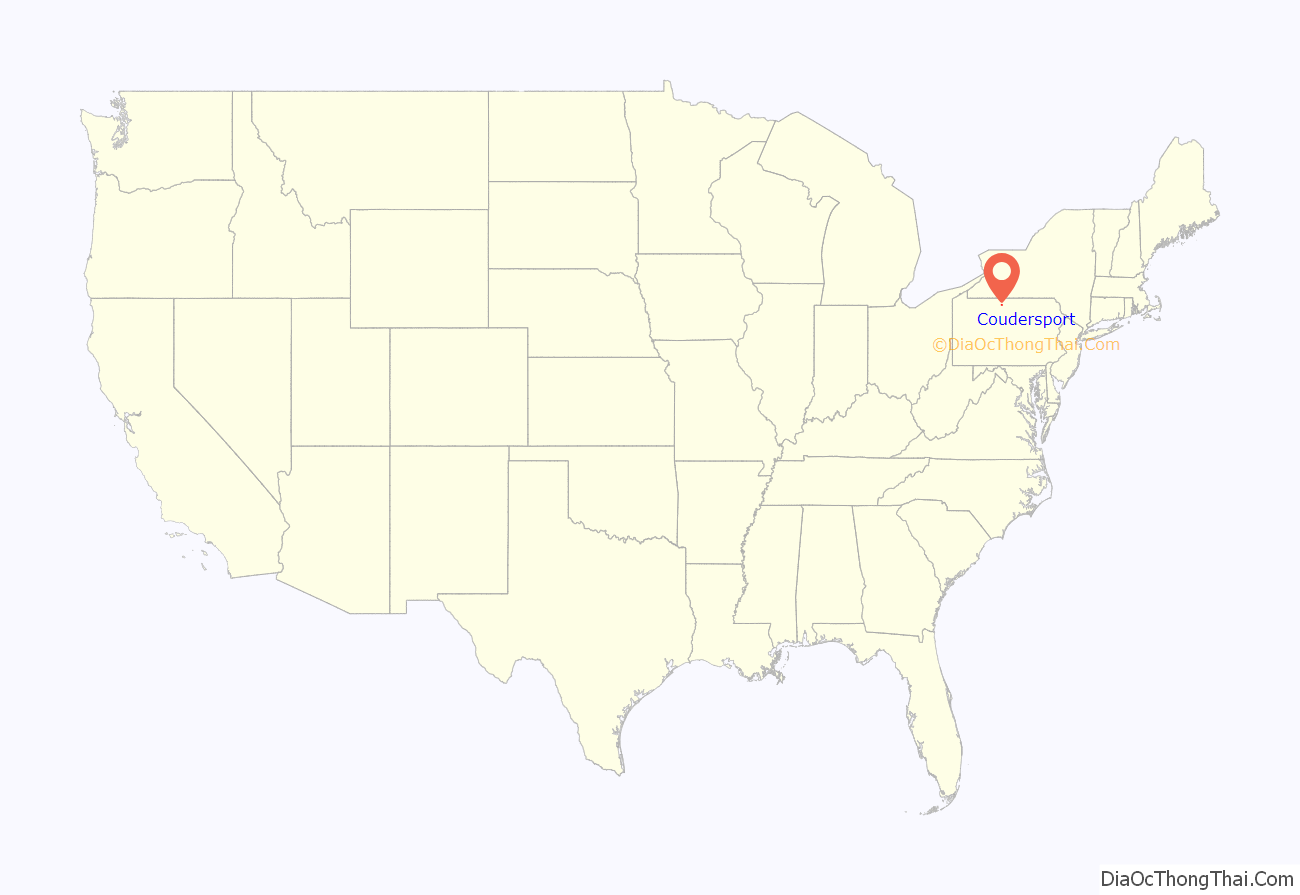
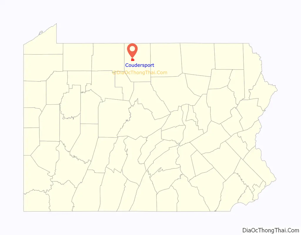
Coudersport location map. Where is Coudersport borough?
History
The Coudersport and Port Allegany Railroad Station, Coudersport Historic District, and Potter County Courthouse are listed on the National Register of Historic Places.
Coudersport Road Map
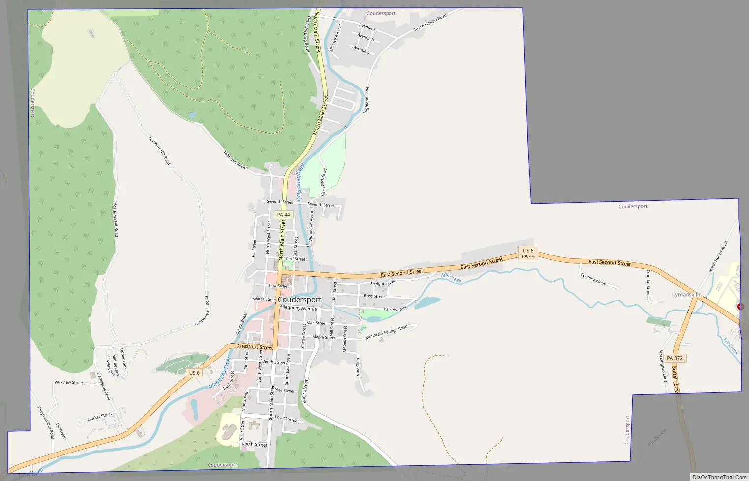
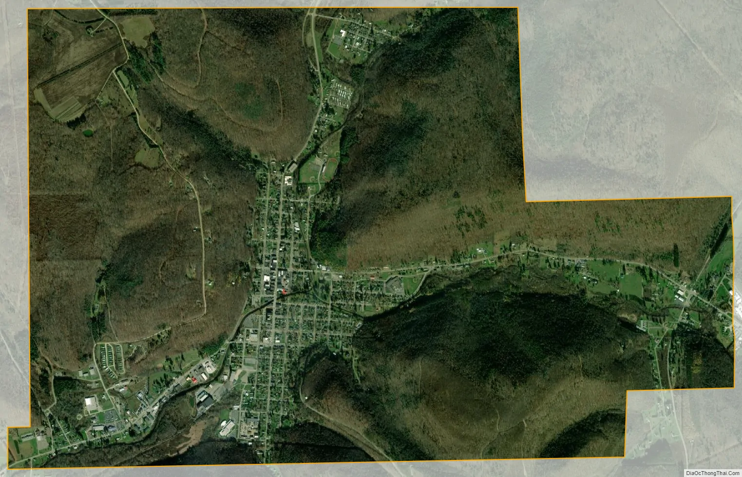
Coudersport city Satellite Map
Geography
Coudersport is located at 41°46′26″N 78°1′7″W / 41.77389°N 78.01861°W / 41.77389; -78.01861 (41.773903, -78.018559).
According to the U.S. Census Bureau, the borough has a total area of 5.7 square miles (15 km), all land.
Coudersport lies in a broad valley at the confluence of the Allegheny River and Mill Creek. It is surrounded by the great hilltop plateaux of the Allegheny highlands. Highways enter north and south on Pennsylvania Route 44, the very old Jersey Shore (log road) Turnpike, and from west to east on U.S. Route 6, the “Grand Army of the Republic Highway”, which had been long a major mid-east-states east-west corridor before the construction of Interstate highways which began in the late 1950s. The most noted hilltops, located here on this plateau, are Dutch Hill, stretching to the southeast, and Vader Hill, stretching to the southwest. The Allegheny River makes a quick turn at this point, going from north to west; for that reason, these features are distinctly individual from afar in the broad turning valley, and rise 2400–2500 feet above sea-level.
See also
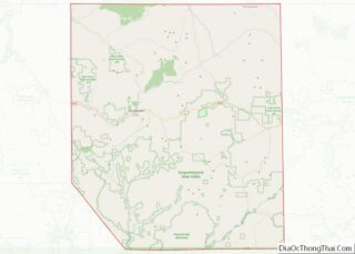
Map of Pennsylvania State and its subdivision:- Adams
- Allegheny
- Armstrong
- Beaver
- Bedford
- Berks
- Blair
- Bradford
- Bucks
- Butler
- Cambria
- Cameron
- Carbon
- Centre
- Chester
- Clarion
- Clearfield
- Clinton
- Columbia
- Crawford
- Cumberland
- Dauphin
- Delaware
- Elk
- Erie
- Fayette
- Forest
- Franklin
- Fulton
- Greene
- Huntingdon
- Indiana
- Jefferson
- Juniata
- Lackawanna
- Lancaster
- Lawrence
- Lebanon
- Lehigh
- Luzerne
- Lycoming
- Mc Kean
- Mercer
- Mifflin
- Monroe
- Montgomery
- Montour
- Northampton
- Northumberland
- Perry
- Philadelphia
- Pike
- Potter
- Schuylkill
- Snyder
- Somerset
- Sullivan
- Susquehanna
- Tioga
- Union
- Venango
- Warren
- Washington
- Wayne
- Westmoreland
- Wyoming
- York
- Alabama
- Alaska
- Arizona
- Arkansas
- California
- Colorado
- Connecticut
- Delaware
- District of Columbia
- Florida
- Georgia
- Hawaii
- Idaho
- Illinois
- Indiana
- Iowa
- Kansas
- Kentucky
- Louisiana
- Maine
- Maryland
- Massachusetts
- Michigan
- Minnesota
- Mississippi
- Missouri
- Montana
- Nebraska
- Nevada
- New Hampshire
- New Jersey
- New Mexico
- New York
- North Carolina
- North Dakota
- Ohio
- Oklahoma
- Oregon
- Pennsylvania
- Rhode Island
- South Carolina
- South Dakota
- Tennessee
- Texas
- Utah
- Vermont
- Virginia
- Washington
- West Virginia
- Wisconsin
- Wyoming