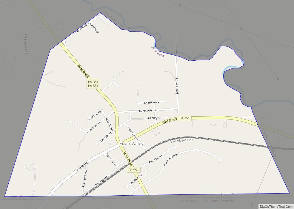
Enon Valley is a borough in Lawrence County, Pennsylvania, United States. The population was 297 at the 2020 census. It is part of the New Castle micropolitan area. Enon Valley borough overview: Name: Enon Valley borough LSAD Code: 21 LSAD Description: borough (suffix) State: Pennsylvania County: Lawrence County Total Area: 0.50 sq mi (1.28 km²) Land Area: 0.49 sq mi ... Read more
Pennsylvania Cities and Places
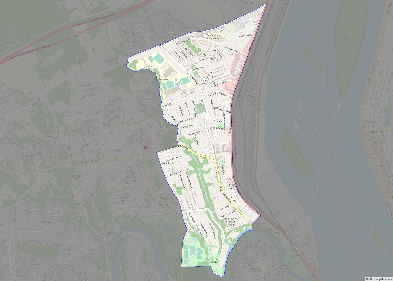
Enola is a census-designated place (CDP) located along the Susquehanna River in East Pennsboro Township, Cumberland County, Pennsylvania, United States. The population was 6,111 at the 2010 census. Norfolk Southern operates Enola Yard, a large rail yard and locomotive shop in Enola. It is situated in Cumberland County, directly across the Susquehanna River from Harrisburg ... Read more
Enlow is a census-designated place (CDP) in Allegheny County, Pennsylvania, United States. The community was formerly part of the Imperial-Enlow CDP, which was split into two separate CDPs as of the 2010 census. The population was 1,138 at the 2020 census. The CDP is located in North Fayette and Findlay townships. Enlow CDP overview: Name: ... Read more
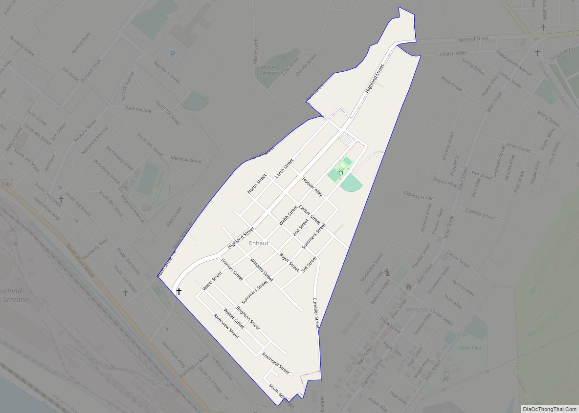
Enhaut is an unincorporated community and census-designated place (CDP) located in Swatara Township, Dauphin County, Pennsylvania, United States. The community was formerly part of the census-designated place of Bressler-Enhaut-Oberlin, before splitting into three separate CDPs for the 2010 census. As of the 2010 census, the population in Enhaut was 1,007. Enhaut is bordered to the ... Read more
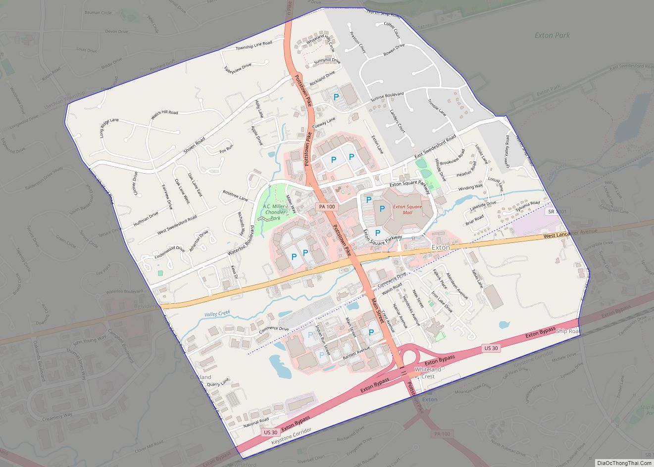
Exton is a census-designated place (CDP) in West Whiteland Township in Chester County, Pennsylvania, United States. Its population was 5,622 at the 2020 census. The Exton Square Mall and Main Street at Exton are both located within Exton along with several other shopping centers, making Exton the major shopping district in Chester County. Exton CDP ... Read more
Export is a borough in Westmoreland County, Pennsylvania, United States, surrounded entirely by the Municipality of Murrysville. The population was 893 at the 2020 census. Export borough overview: Name: Export borough LSAD Code: 21 LSAD Description: borough (suffix) State: Pennsylvania County: Westmoreland County Incorporated: November 11, 1911 Elevation: 1,027 ft (313 m) Total Area: 0.40 sq mi (1.04 km²) Land ... Read more
Exeter is a borough in the Greater Pittston-Wilkes-Barre area of Luzerne County, Pennsylvania, United States, about 10 miles (16 km) west of Scranton and a few miles north of Wilkes-Barre. It is located on the western bank of the Susquehanna River and has a total area of 5.0 square miles (12.9 km). As of 2020, Exeter had ... Read more
Everson is a borough in Fayette County, Pennsylvania, United States. The population was 768 at the 2020 census. It was incorporated in 1903. Everson borough overview: Name: Everson borough LSAD Code: 21 LSAD Description: borough (suffix) State: Pennsylvania County: Fayette County Elevation: 1,070 ft (330 m) Total Area: 0.22 sq mi (0.56 km²) Land Area: 0.22 sq mi (0.56 km²) Water Area: 0.00 sq mi ... Read more
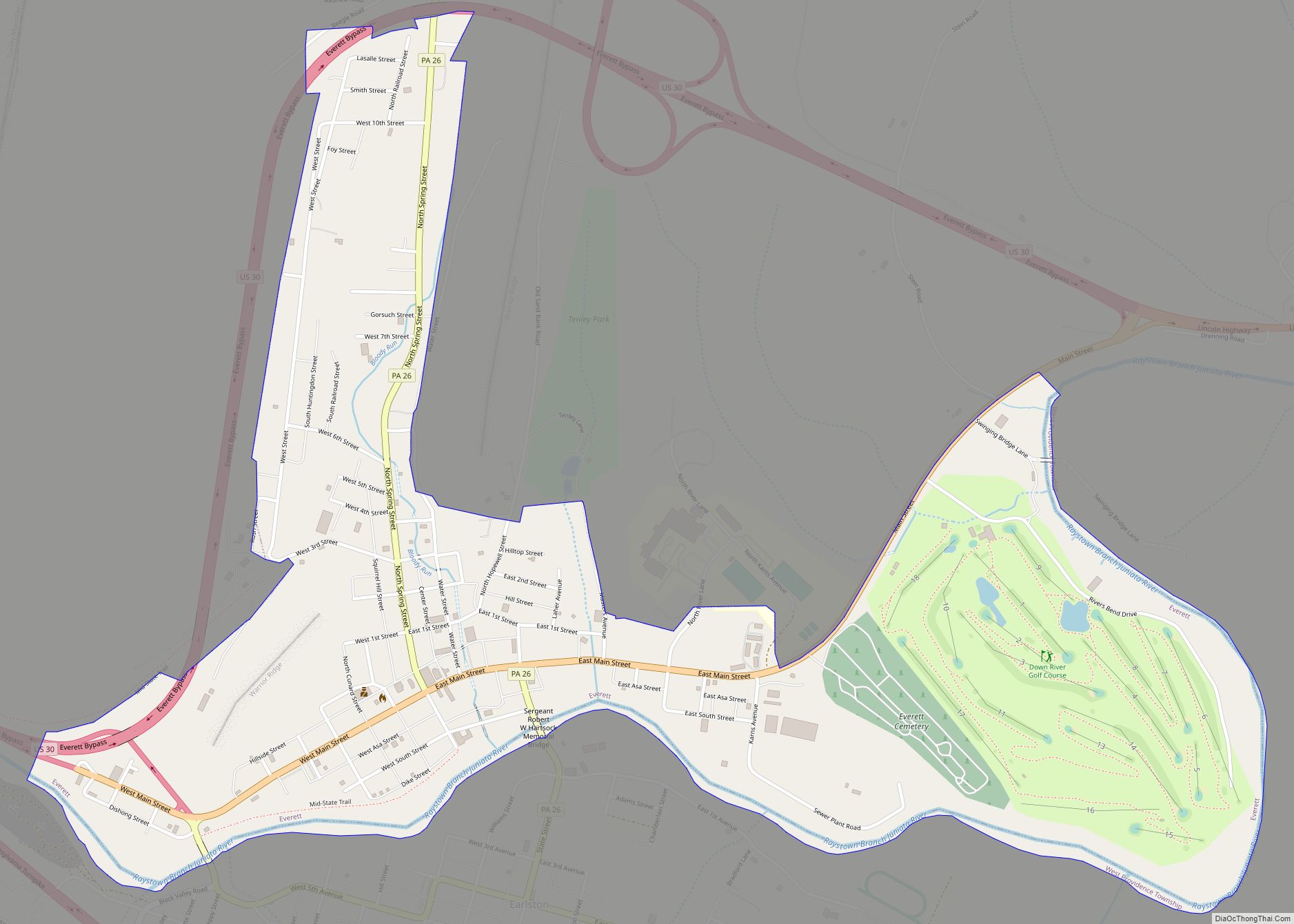
Everett is a borough in Bedford County, Pennsylvania, United States. The population was 1,775 at the 2020 census. Everett’s original name was Bloody Run, after a creek that was the site of a battle between settlers and Native Americans. The town was renamed in honor of Massachusetts politician and orator Edward Everett. Bestselling American novelist ... Read more
Evansburg is a census-designated place (CDP) in Montgomery County, Pennsylvania, United States. The population was 2,129 at the 2010 census. It is a section of Lower Providence Township and is the namesake of Evansburg State Park. Evansburg CDP overview: Name: Evansburg CDP LSAD Code: 57 LSAD Description: CDP (suffix) State: Pennsylvania County: Montgomery County Elevation: ... Read more
Evans City is a borough in Butler County, Pennsylvania, United States. The population was 1,833 at the 2010 census. Evans City borough overview: Name: Evans City borough LSAD Code: 21 LSAD Description: borough (suffix) State: Pennsylvania County: Butler County Incorporated: 1882 Total Area: 0.82 sq mi (2.12 km²) Land Area: 0.82 sq mi (2.12 km²) Water Area: 0.00 sq mi (0.00 km²) Total Population: ... Read more
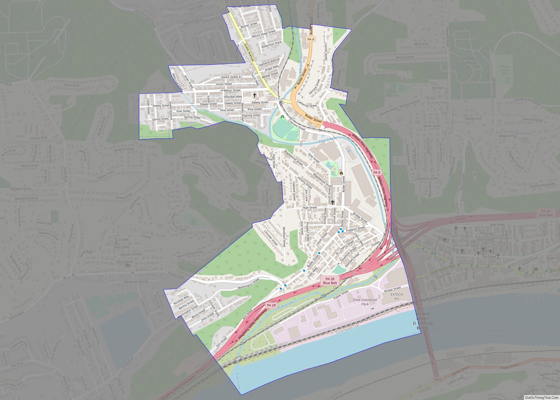
Etna is a borough of Allegheny County, Pennsylvania, United States, located across the Allegheny River from Pittsburgh. In 2019, Etna was recognized as the first ever Ecodistrict. Etna was named after the volcano Mount Etna, an allusion to blast furnaces, steel mills, galvanized-pipe works, and other manufacturers located there. Historically it was a steel town ... Read more
