Hamburg (Pennsylvania German: Hambarig) is a borough in Berks County, Pennsylvania, United States. The population was 4,270 at the 2020 census. The town is thought to have been named after Hamburg, Germany, but this is likely to have been a corruption of Bad Homburg. Hamburg borough overview: Name: Hamburg borough LSAD Code: 21 LSAD Description: ... Read more
Pennsylvania Cities and Places
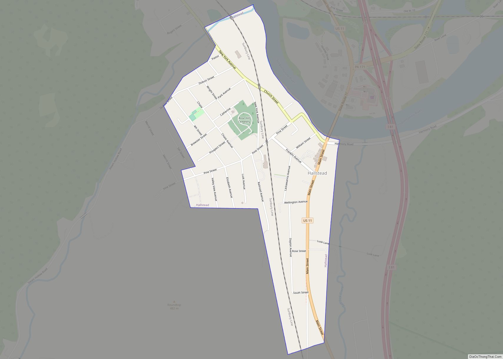
Hallstead is a borough in Susquehanna County, Pennsylvania. The population was 1,179 at the 2020 census. Hallstead borough overview: Name: Hallstead borough LSAD Code: 21 LSAD Description: borough (suffix) State: Pennsylvania County: Susquehanna County Incorporated: 1874 Total Area: 0.42 sq mi (1.08 km²) Land Area: 0.42 sq mi (1.08 km²) Water Area: 0.00 sq mi (0.00 km²) Total Population: 1,174 Population Density: 2,808.61/sq mi (1,085.42/km²) ... Read more
Hallam /ˈhɛləm/ HEL-əm is a borough in York County, Pennsylvania, United States. The population was 2,774 at the 2020 census. Hallam borough overview: Name: Hallam borough LSAD Code: 21 LSAD Description: borough (suffix) State: Pennsylvania County: York County Incorporated: 1902 Elevation: 341 ft (104 m) Total Area: 0.67 sq mi (1.73 km²) Land Area: 0.67 sq mi (1.73 km²) Water Area: 0.00 sq mi (0.00 km²) ... Read more
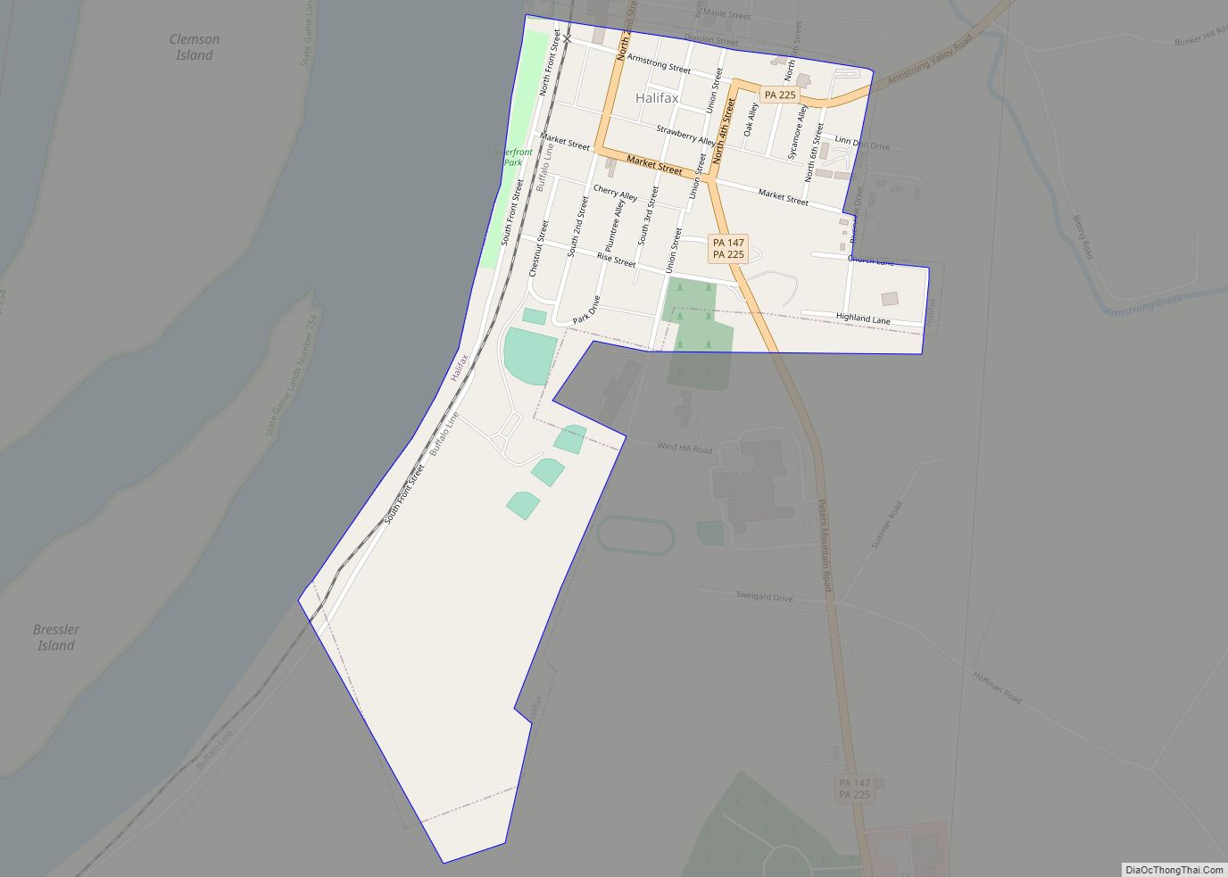
Halifax is a borough in Dauphin County, Pennsylvania, United States. Halifax was incorporated as a borough on May 29, 1785. It is situated at the confluence of Armstrong Creek and the Susquehanna River. The population was 795 at the 2020 census. It is part of the Harrisburg–Carlisle Metropolitan Statistical Area. Fort Halifax was located along ... Read more
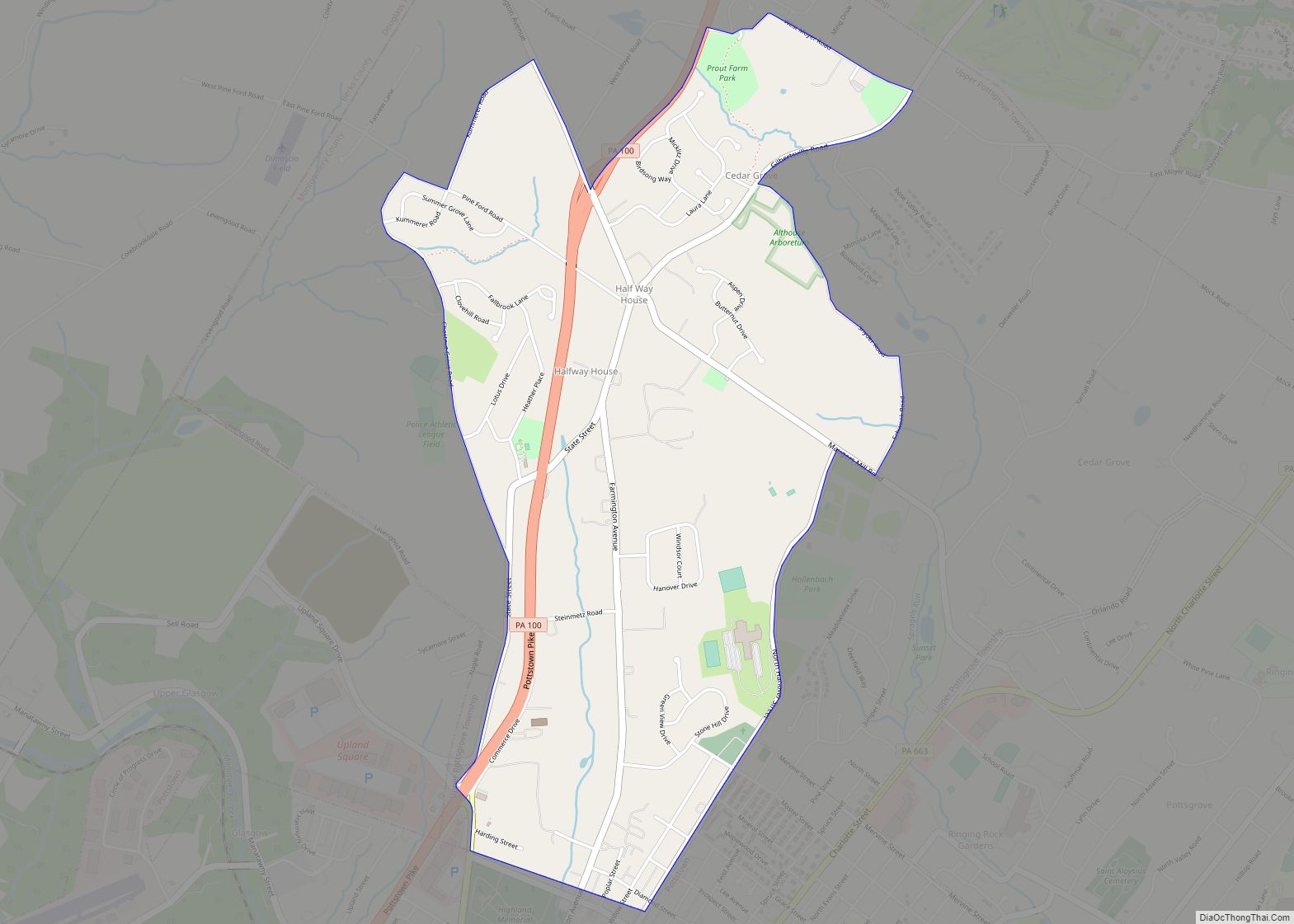
Halfway House is a census-designated place (CDP) in Montgomery County, Pennsylvania, United States. The population was 2,881 at the 2010 census. Halfway House CDP overview: Name: Halfway House CDP LSAD Code: 57 LSAD Description: CDP (suffix) State: Pennsylvania County: Montgomery County Elevation: 384 ft (117 m) Total Area: 2.10 sq mi (5.44 km²) Land Area: 2.10 sq mi (5.44 km²) Water Area: 0.00 sq mi ... Read more
Guys Mills is a census-designated place in Crawford County, Pennsylvania, United States. The population was 124 at the 2010 census. Guys Mills CDP overview: Name: Guys Mills CDP LSAD Code: 57 LSAD Description: CDP (suffix) State: Pennsylvania County: Crawford County Elevation: 1,380 ft (420 m) Total Area: 0.15 sq mi (0.40 km²) Land Area: 0.15 sq mi (0.40 km²) Water Area: 0.00 sq mi (0.00 km²) ... Read more
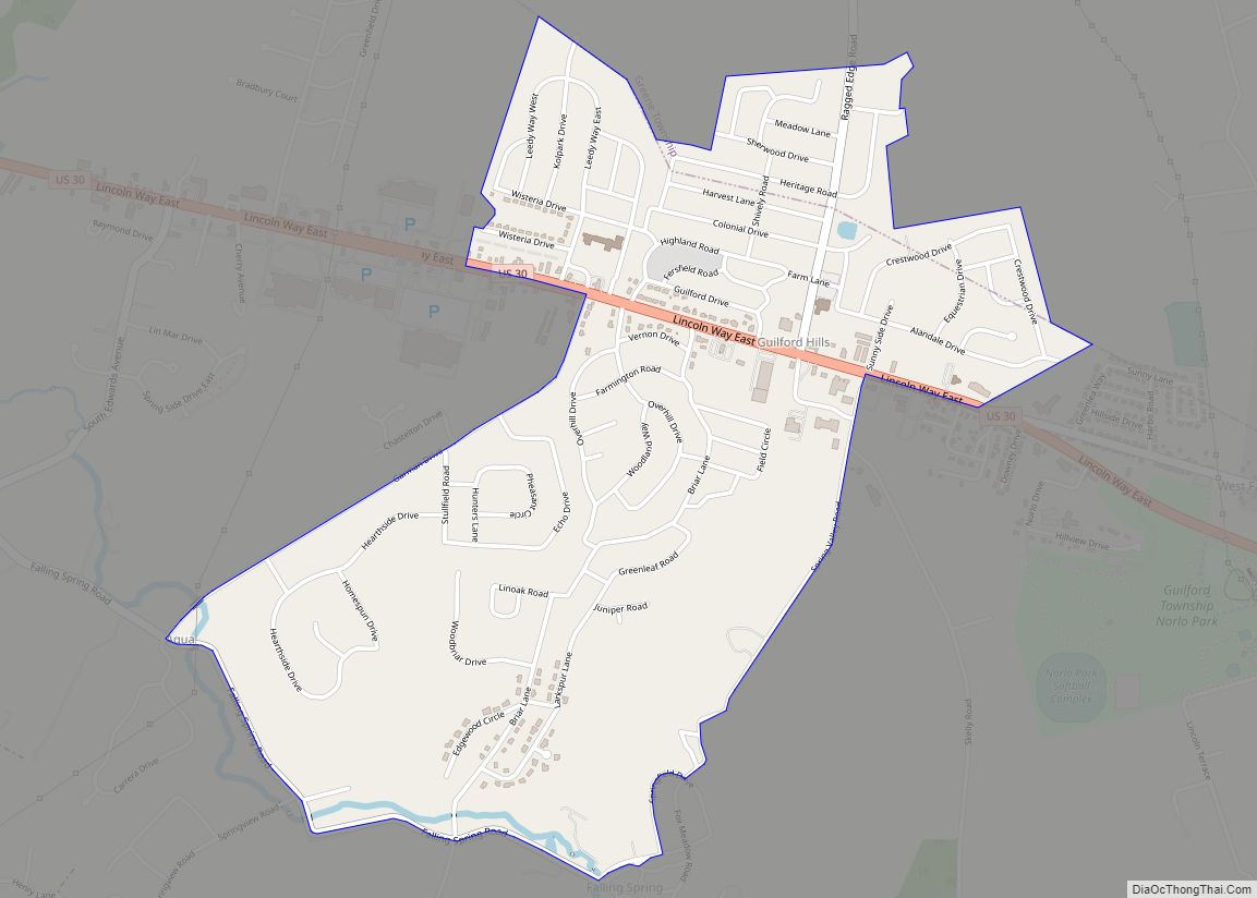
Guilford is a census-designated place (CDP) in Franklin County, Pennsylvania, United States. The population was 2,923 at the 2020 census. Guilford CDP overview: Name: Guilford CDP LSAD Code: 57 LSAD Description: CDP (suffix) State: Pennsylvania County: Franklin County Elevation: 800 ft (200 m) Total Area: 1.55 sq mi (4.01 km²) Land Area: 1.55 sq mi (4.01 km²) Water Area: 0.00 sq mi (0.00 km²) Total Population: ... Read more
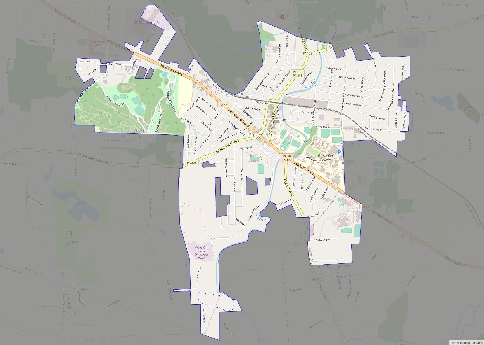
Grove City is a borough in southeastern Mercer County, Pennsylvania, United States, located approximately 60 miles (97 km) north of Pittsburgh and 75 miles (121 km) south of Erie. At the 2020 census, the population was 7,894. It is part of the Youngstown–Warren metropolitan area. It is the home of Grove City College, a private liberal arts ... Read more
Grindstone is an unincorporated community and census-designated place in Jefferson and Redstone townships, in Fayette County, Pennsylvania, United States. The community was a part of the Grindstone-Rowes Run CDP, before it was split into two separate CDPs for the 2010 census. As of the 2010 census, the population was 498. Its ZIP code is 15442. ... Read more
Grill is a census-designated place in Cumru Township, Berks County, Pennsylvania, United States. It is located just to the east of the borough of Kenhorst at the intersection of PA routes 625 and 724. The area is generally suburban in nature, and is served by the Governor Mifflin School District. As of the 2010 census, ... Read more
Harleigh is a census-designated place (CDP) in Hazle Township, Luzerne County, Pennsylvania, United States, north of the city of Hazleton. The CDP population was 1,104 at the 2010 census. Harleigh CDP overview: Name: Harleigh CDP LSAD Code: 57 LSAD Description: CDP (suffix) State: Pennsylvania County: Luzerne County Total Area: 0.57 sq mi (1.48 km²) Land Area: 0.57 sq mi (1.48 km²) ... Read more
Hanover is a borough in York County, Pennsylvania, United States, 19 miles (31 km) southwest of York and 54 miles (87 km) north-northwest of Baltimore, Maryland and is 5 miles (8.0 km) north of the Mason-Dixon line. The town is situated in a productive agricultural region. The population was 16,429 at the 2020 census. The borough is served ... Read more

