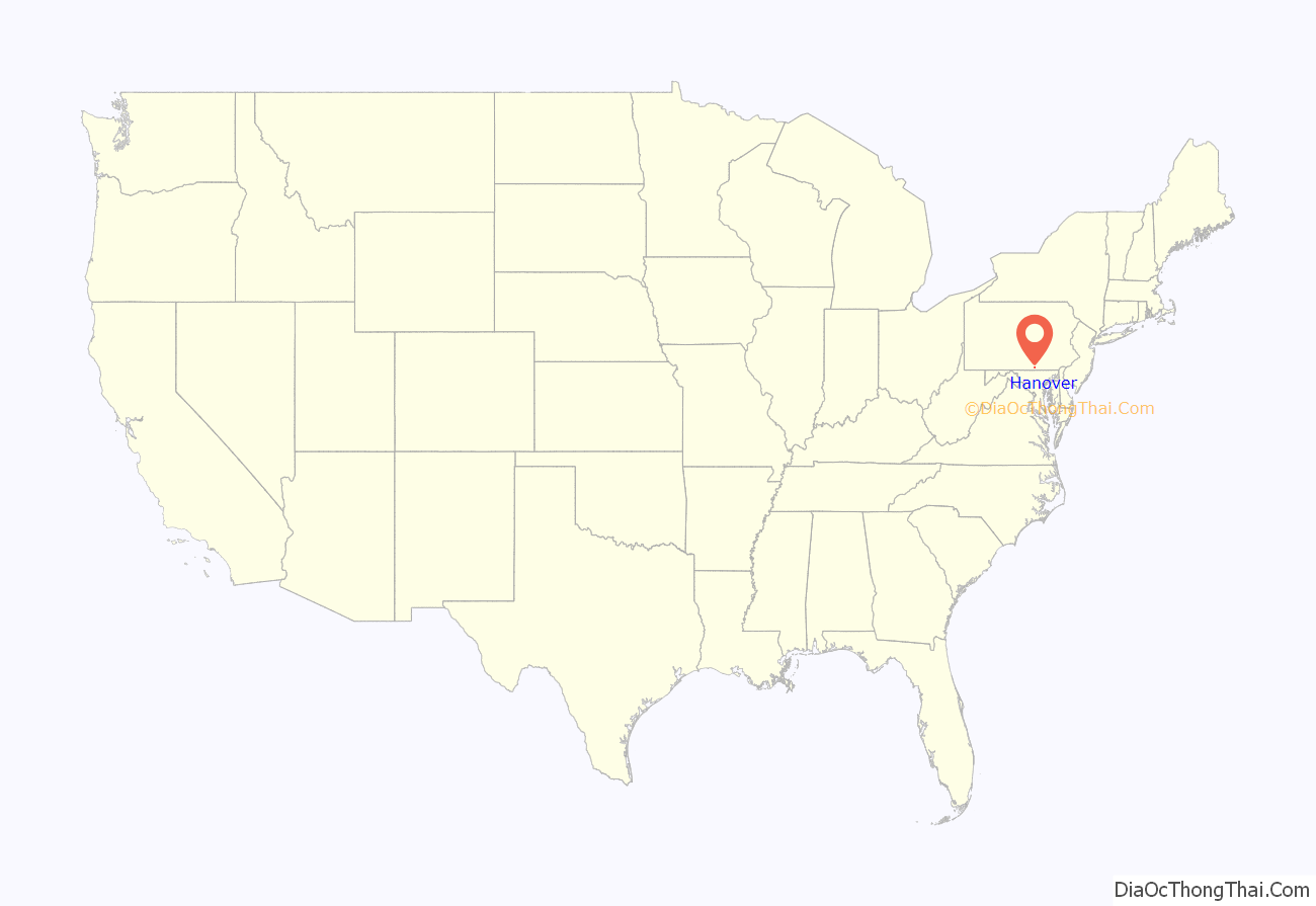
Hanover is a borough in York County, Pennsylvania, United States, 19 miles (31 km) southwest of York and 54 miles (87 km) north-northwest of Baltimore, Maryland and is 5 miles (8.0 km) north of the Mason-Dixon line. The town is situated in a productive agricultural region. The population was 16,429 at the 2020 census. The borough is served by the 717 area code and the ZIP Codes of 17331–34. Hanover is named after the German city of Hannover.
The site of the final encounter between the Union and Confederate States armies before they fought against each other in the Battle of Gettysburg during the American Civil War, this borough has since become known as the “Snack Food Capital of the World” due to the establishment of multiple food manufacturing businesses there during the 20th century.
| Name: | Hanover borough |
|---|---|
| LSAD Code: | 21 |
| LSAD Description: | borough (suffix) |
| State: | Pennsylvania |
| County: | York County |
| Founded: | 1763 (1763) |
| Incorporated: | March 4, 1815 (1815-03-04) |
| Elevation: | 614 ft (187 m) |
| Total Area: | 3.70 sq mi (9.57 km²) |
| Land Area: | 3.70 sq mi (9.57 km²) |
| Water Area: | 0.00 sq mi (0.00 km²) |
| Total Population: | 16,429 |
| Population Density: | 4,445.08/sq mi (1,716.10/km²) |
| ZIP code: | 17331, 17332, 17333, 17335 |
| Area code: | 717 and 223 |
| FIPS code: | 4232448 |
| GNISfeature ID: | 1215748 |
Online Interactive Map
Click on ![]() to view map in "full screen" mode.
to view map in "full screen" mode.
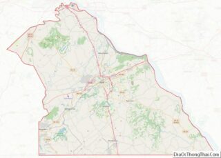
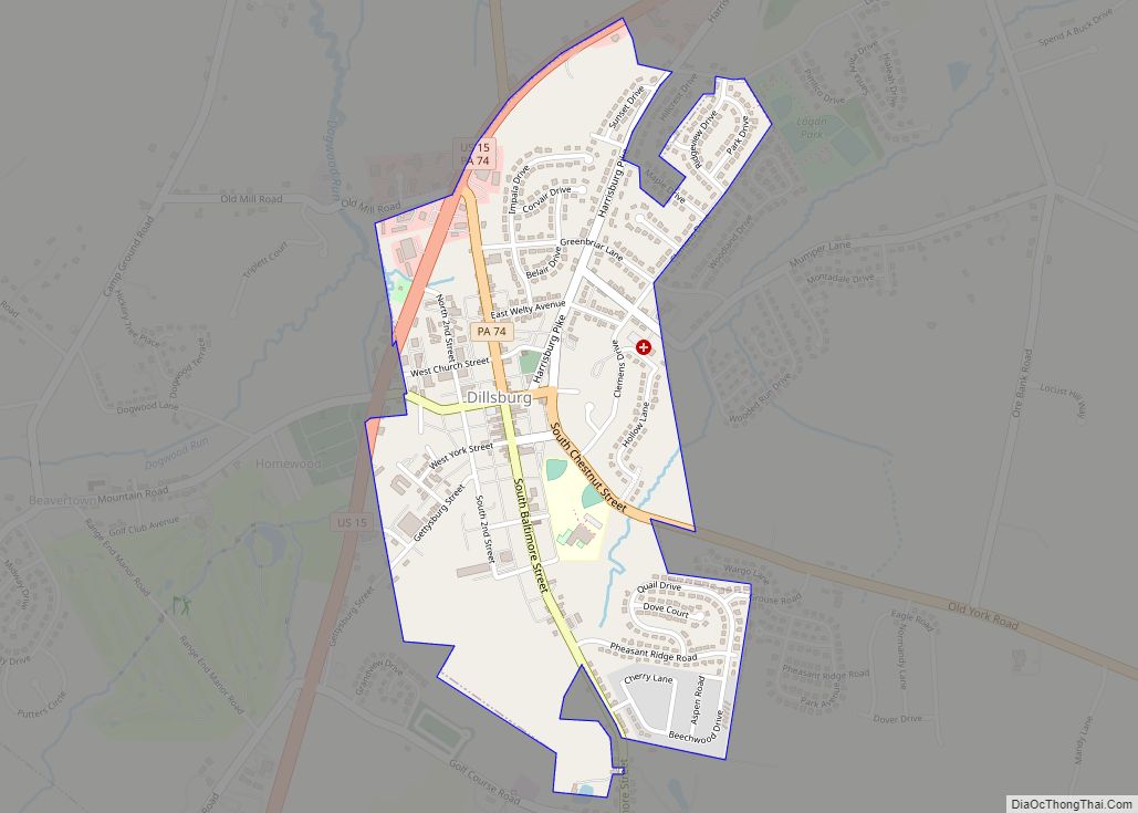
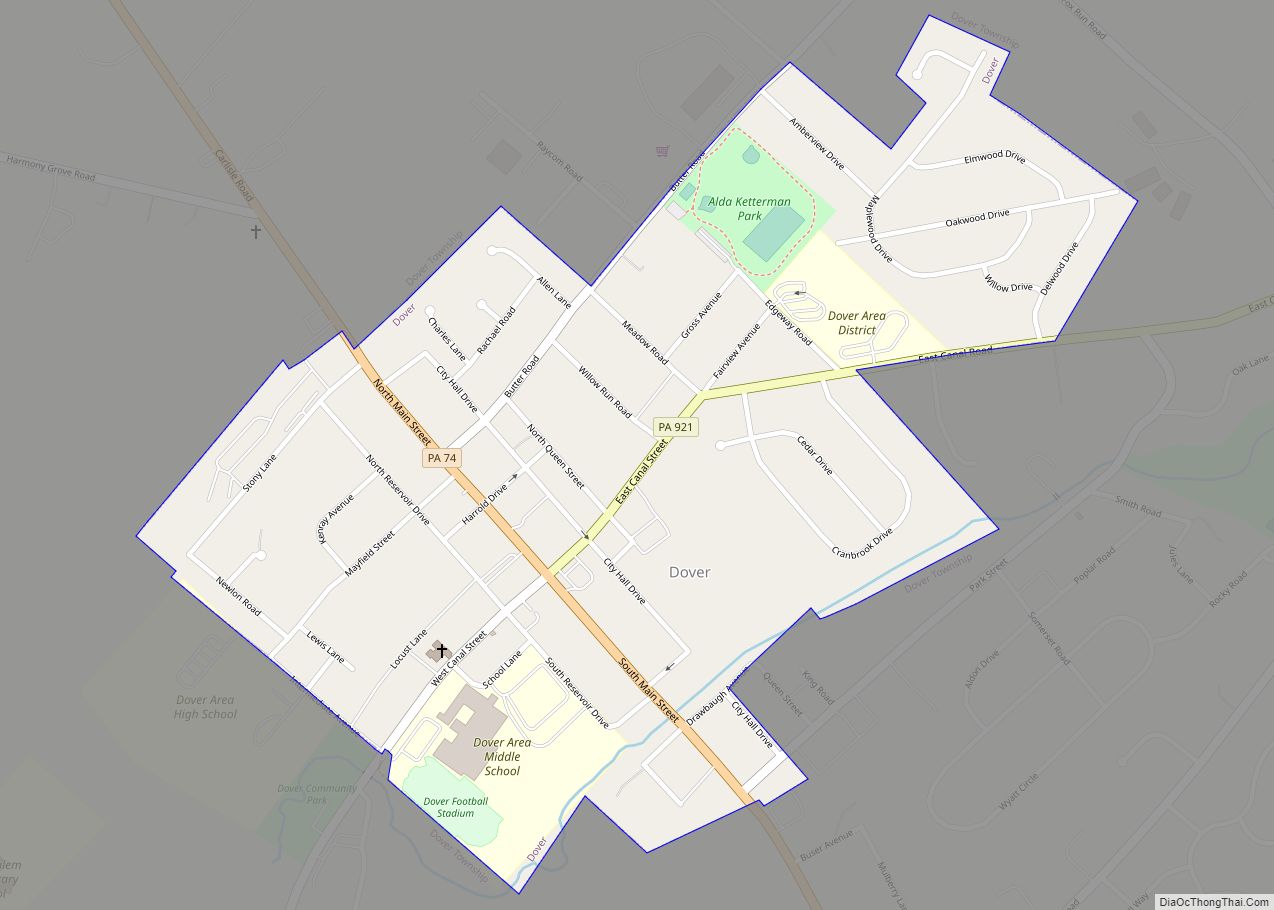
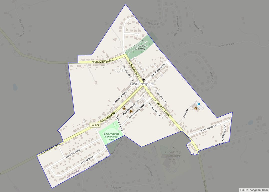
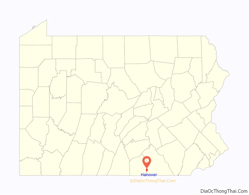
Hanover location map. Where is Hanover borough?
History
In 1727, John Digges, an Irish nobleman of Prince George’s County, Maryland, obtained a grant of 10,000 acres (40 km) of land where Hanover is now located from Charles Calvert, the fourth Lord Baltimore. The area was called Digges Choice, and in 1730, a group of Catholics started the settlement that became known as the Conewego Settlement. Settlers from both Maryland and Pennsylvania began moving into the area in the 1730s. At this time, Maryland and Pennsylvania did not agree on the northern border of Maryland and the southern border of Pennsylvania, and the area that is now Hanover was in the disputed area claimed by both states. This led to numerous disputes about property ownership from the 1730s until 1760. The dispute was settled when Maryland and Pennsylvania hired British experts Charles Mason and Jeremiah Dixon to survey what became known as the Mason–Dixon Line. This line was surveyed between 1763 and 1767, and put an end to decades of disputes over rights and ownership.
In 1745, a Scot-Irishman named Richard McAllister (father of Matthew McAllister) purchased the tract of land upon which the original town of Hanover was built. McAllister was a Presbyterian who had recently migrated from the Cumberland Valley. Hanover at that time was covered with a dense forest of hickory, walnut, and oak trees. McAllister erected a log house at what is now the corner of Baltimore and Middle streets, and opened a store and tavern. In 1763, McAllister divided his farm into lots and founded the town of Hanover. German settlers nicknamed the settlement “Hickory Town” after the thick groves of hickory trees that grew in the area. The name Hanover was suggested by Michael Tanner, who was one of the commissioners who laid out York County in 1749 and owned large tracts of land southeast of the town. Tanner’s choice of the name came from the fact that he was a native of Hannover, Germany. The town’s founders, who wanted to please the German settlers, agreed to the name. Hanover was also sometimes referred to as “McAllister’s Town” in its early years.
Hanover and the American Revolution
Thomas Jefferson spent the night of April 12, 1776 at the Sign of the Horse, an inn, owned by Caspar Reinecker on Frederick Street. Records indicate that Jefferson paid “Rhenegher” 11 shillings, 6 pence for dinner and lodging. He was on his way from Monticello to Philadelphia to attend the first meeting of the Continental Congress, where on June 10 he would begin to draft the Declaration of Independence. At the time, Hanover was located at the crossing of two well-traveled roads, one from the port of Baltimore to points north and west and the other between Philadelphia and the Valley of Virginia. When Jefferson returned from Philadelphia to Monticello, he again dined and spent the night of September 5 at Reinecker’s inn.
At the start of the Revolutionary War, Hanover consisted of about 500 homes, most of which were built out of logs. After the war, the population increased steadily until the War of 1812. At the time of the advance of the British on Baltimore in 1814, Hanover and vicinity furnished two companies of infantry commanded by Captain Frederick Metzgar and John Bair. These two companies left Hanover on foot Sunday morning, August 28, 1814, and reached the city of Baltimore at 9 A.M., Tuesday. September 11, where they were marched to North Point, spending that night on their arms, and next day, the memorable September 12, 1814, they took part in the engagement with the British, who retreated soon after. The Hanover Companies together with other companies from York County, returned home after two weeks’ service, not being needed longer.
After the War of 1812, the town experienced only minor growth until 1852, when construction of the Hanover Branch Railroad to Hanover Junction was completed. In 1858 the Gettysburg Railroad opened a railroad link westward to Gettysburg. The Hanover and York Railroad completed a rail line to York in 1876.
Civil War era
During the American Civil War, the Battle of Hanover was fought on June 30, 1863. Union cavalry under Judson Kilpatrick encountered Confederate cavalry under J.E.B. Stuart and a sharp fight ensued in the town and in farm fields to the south, particularly along Frederick Street. The final encounter between Union and Confederate forces prior to the Battle of Gettysburg, this inconclusive engagement delayed the Confederate cavalry on their way to the Battle of Gettysburg. Three days before the battle, another detachment of Virginia cavalry had briefly occupied Hanover, “collecting” supplies and horses from local citizens.
Over the years, its industries have included the making of cigars, gloves, silks, flavine, water wheels, flour, shirts, shoes, machine-shop products, furniture, wire cloth, and ironstone grinders.
The town has lent its name to a brand of canned vegetables, and a mail-order gift company based there. Hanover’s first newspaper, Die Pennsylvania Wochenschrift, was published in German in 1797. In 1805, the “Hanover Gazette” followed suit, also published in German.
The Hanover Historic District, Eichelberger High School, George Nace (Neas) House, and US Post Office-Hanover are listed on the National Register of Historic Places.
Modern era
On July 13, 1991, Hanover’s town square was the site of a two-day race riot. During the summer, White residents were upset by the presence of young Black men in the town square, who had begun to gather there after the local parks were temporarily closed. In addition, two young, interracial couples had been seen walking downtown. In the lead-up to the riot, White residents spat on the Black men visiting their girlfriends in the town square, while the Baltimore Sun reported that there had been tension “building for several weeks,” and the Hanover Evening Sun reported that at least one resident “had heard rumors throughout the week that a motorcycle gang was coming into town to start trouble with a few interracial groups of juveniles.” Other residents were quoted stating that the biker gang’s explicit purpose was to “take back the town.” On July 13, by around 11:00pm, an estimated 200 to 400 White people gathered on one side of the town square, with a much smaller group of a “half dozen” Black juveniles on the other side, with various police forming a line between the two. Both groups shouted at one another throughout the night. Eventually, a car full of Black juveniles pulled up alongside the bikers before some of the bikers began chasing the car down the alleyway, which elicited a cheer from some members of the White crowd. The police line struggled to contain the rioters and eventually ordered the smaller, Black crowd to disperse just after 11:00pm. As the smaller side dispersed, police lost control of the rioters, who began to fight using weapons like “baseball bats, knives, tire chains, bricks and hockey sticks,” though there was only one serious injury reported. Eleven people were arrested during the first night; on the second day, a state of emergency was declared by Mayor W. Roy Attlesberger, who instructed police to arrest anyone on the streets after midnight. Police shut down major roadways into Hanover. Nevertheless, many minor skirmishes broke out, and ultimately thirty six people were arrested including the eleven from the day prior. Media reports following the two-day event described the town square as looking like a “battlefield.” In the aftermath of the riot, according to the Baltimore Sun, “many residents interviewed yesterday shared the view … [blaming] the troubles on the two women for dating Black men and bringing them into Hanover,” many of whom also referred to the Black residents as “coloreds.”
On October 24, 2018, Hanover Borough’s first African-American mayor was sworn in. Hanover Borough council selected Myneca Ojo, 56, to fill the office recently vacated by Ben Adams, who moved away from the community. Myneca Ojo was the former Director of Diversity at the Pennsylvania Turnpike Commission. She is the second woman to be mayor in the borough. Margret Hormel was the first woman mayor, serving from 1993 to 2007.
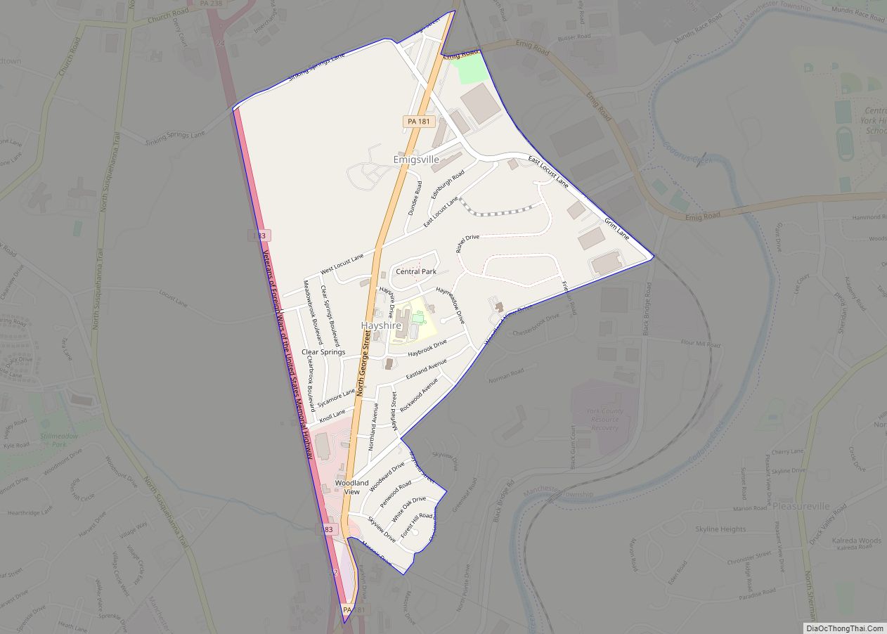
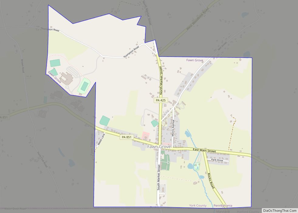
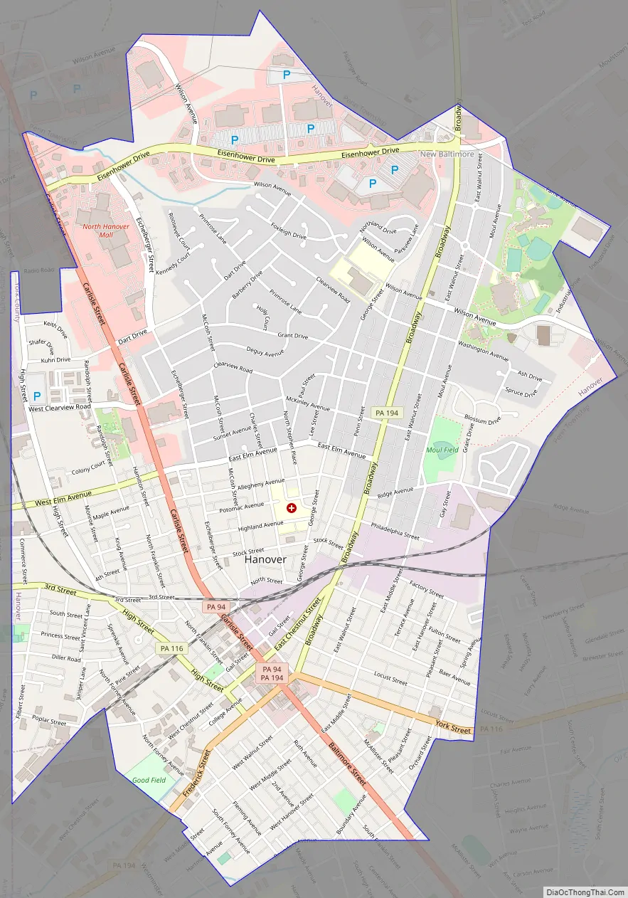
Hanover Road Map
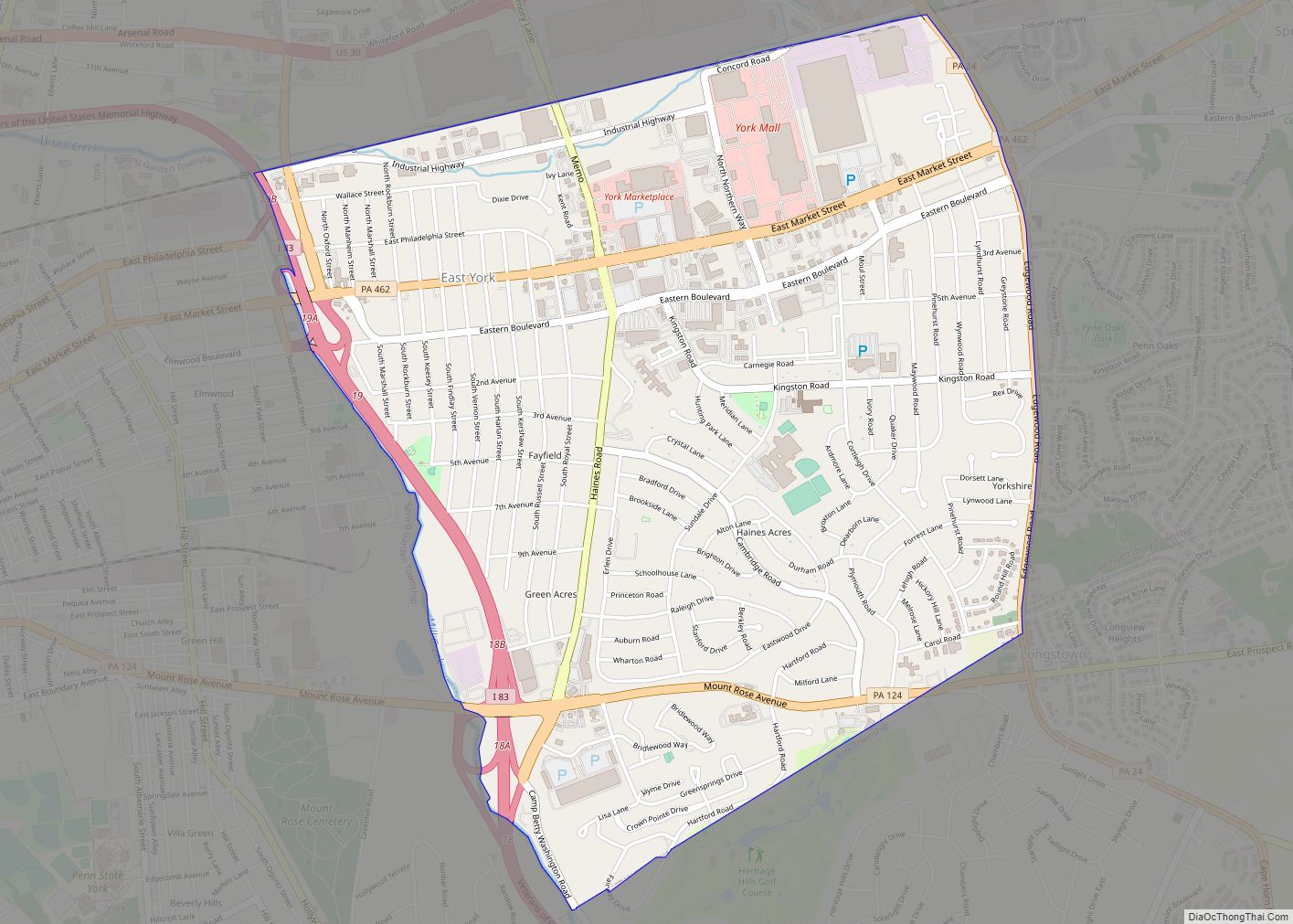
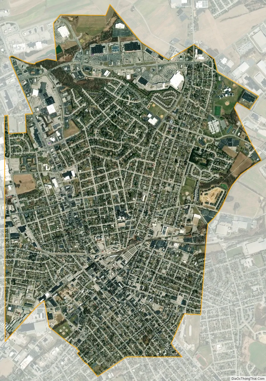
Hanover city Satellite Map
See also
Map of Pennsylvania State and its subdivision:- Adams
- Allegheny
- Armstrong
- Beaver
- Bedford
- Berks
- Blair
- Bradford
- Bucks
- Butler
- Cambria
- Cameron
- Carbon
- Centre
- Chester
- Clarion
- Clearfield
- Clinton
- Columbia
- Crawford
- Cumberland
- Dauphin
- Delaware
- Elk
- Erie
- Fayette
- Forest
- Franklin
- Fulton
- Greene
- Huntingdon
- Indiana
- Jefferson
- Juniata
- Lackawanna
- Lancaster
- Lawrence
- Lebanon
- Lehigh
- Luzerne
- Lycoming
- Mc Kean
- Mercer
- Mifflin
- Monroe
- Montgomery
- Montour
- Northampton
- Northumberland
- Perry
- Philadelphia
- Pike
- Potter
- Schuylkill
- Snyder
- Somerset
- Sullivan
- Susquehanna
- Tioga
- Union
- Venango
- Warren
- Washington
- Wayne
- Westmoreland
- Wyoming
- York
- Alabama
- Alaska
- Arizona
- Arkansas
- California
- Colorado
- Connecticut
- Delaware
- District of Columbia
- Florida
- Georgia
- Hawaii
- Idaho
- Illinois
- Indiana
- Iowa
- Kansas
- Kentucky
- Louisiana
- Maine
- Maryland
- Massachusetts
- Michigan
- Minnesota
- Mississippi
- Missouri
- Montana
- Nebraska
- Nevada
- New Hampshire
- New Jersey
- New Mexico
- New York
- North Carolina
- North Dakota
- Ohio
- Oklahoma
- Oregon
- Pennsylvania
- Rhode Island
- South Carolina
- South Dakota
- Tennessee
- Texas
- Utah
- Vermont
- Virginia
- Washington
- West Virginia
- Wisconsin
- Wyoming