Lewisberry is a borough in York County, Pennsylvania, United States. The population was 380 at the 2020 census. Lewisberry borough overview: Name: Lewisberry borough LSAD Code: 21 LSAD Description: borough (suffix) State: Pennsylvania County: York County Incorporated: 1832 Elevation: 433 ft (132 m) Total Area: 0.14 sq mi (0.36 km²) Land Area: 0.14 sq mi (0.36 km²) Water Area: 0.00 sq mi (0.00 km²) Total Population: ... Read more
Pennsylvania Cities and Places
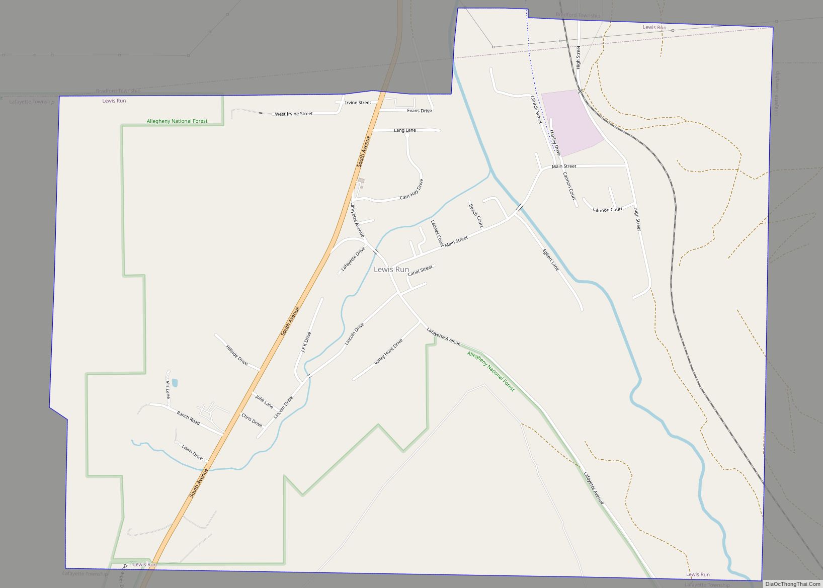
Lewis Run is a borough in McKean County, Pennsylvania, United States. The population was 578 at the 2020 census. Lewis Run borough overview: Name: Lewis Run borough LSAD Code: 21 LSAD Description: borough (suffix) State: Pennsylvania County: McKean County Incorporated: 1911 Total Area: 1.84 sq mi (4.76 km²) Land Area: 1.83 sq mi (4.74 km²) Water Area: 0.01 sq mi (0.03 km²) Total Population: ... Read more
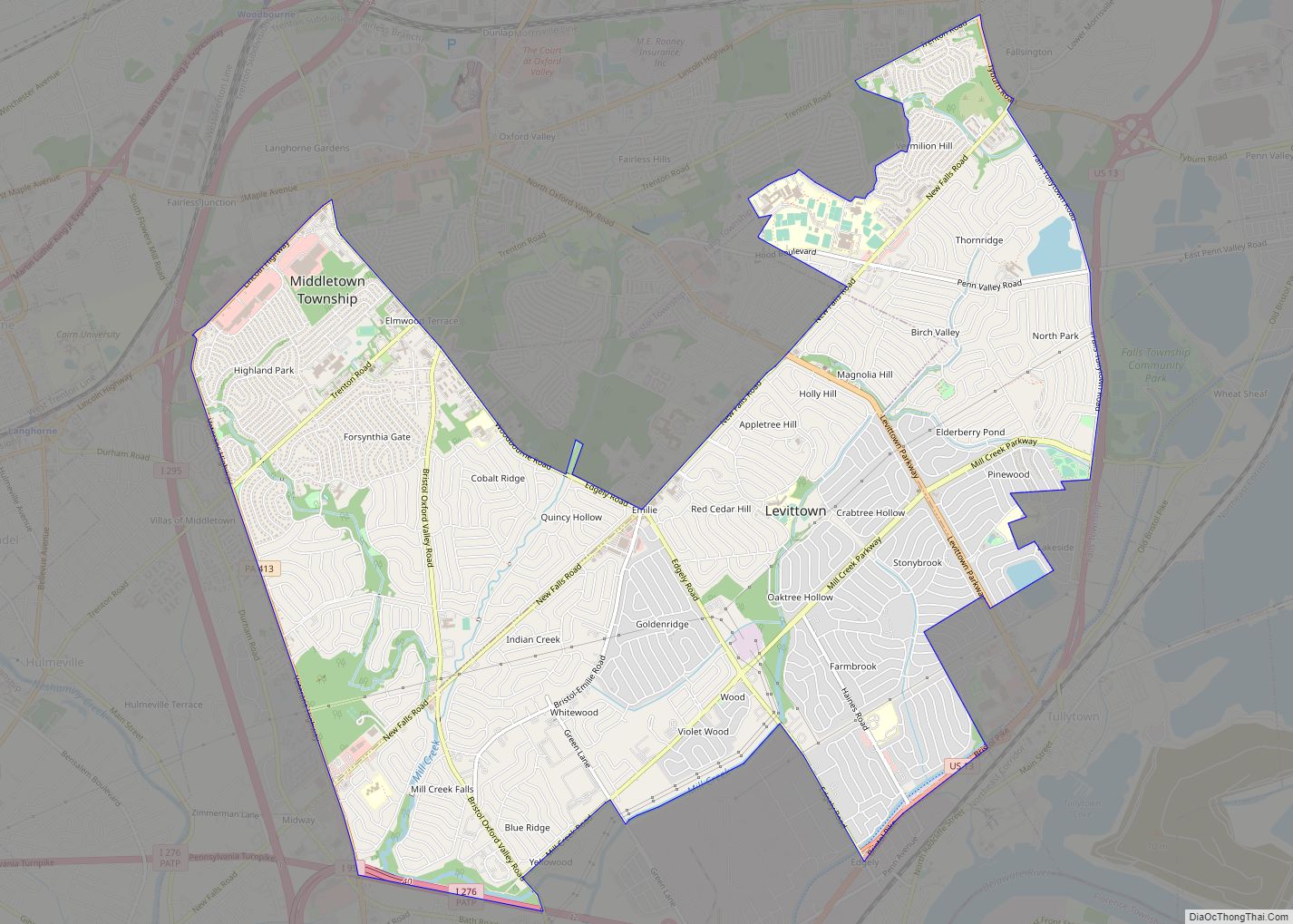
Levittown is a census-designated place (CDP) and planned community in Bucks County, Pennsylvania, United States. It is part of the Philadelphia metropolitan area. The population was 52,983 at the 2010 census. It is 40 feet (12 m) above sea level. Though not a municipality, it is sometimes recognized as the largest suburb of Philadelphia (while Upper ... Read more
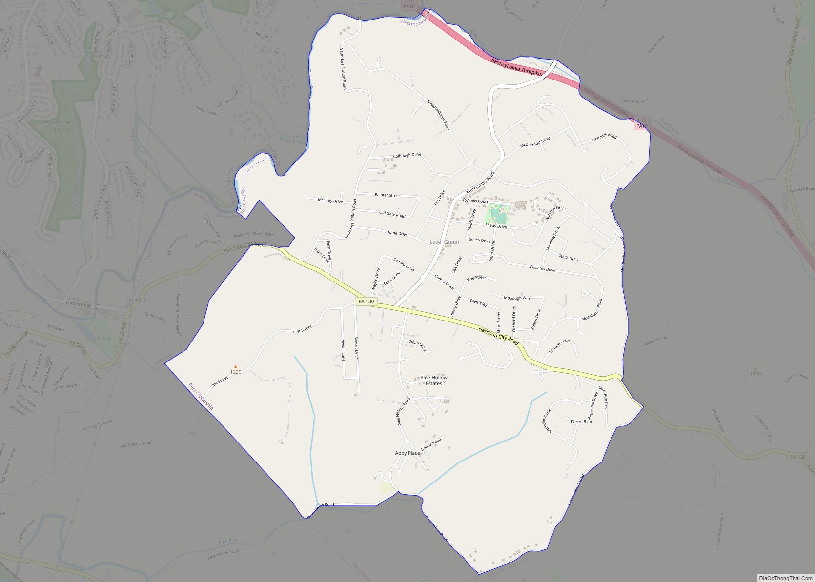
Level Green is a census-designated place located in Penn Township, Westmoreland County in the state of Pennsylvania, United States. The community is located near Pennsylvania Route 130. As of the 2010 census, the population was 4,020 residents. It is the home of the legendary NASCAR veteran Norm Benning. Level Green CDP overview: Name: Level Green ... Read more
Lime Ridge is a census-designated place (CDP) in Columbia County, Pennsylvania, United States. It is part of Northeastern Pennsylvania. The population was 890 at the 2010 census. It is part of the Bloomsburg-Berwick micropolitan area. Lime Ridge is named for limestone deposits in the area. Lime Ridge CDP overview: Name: Lime Ridge CDP LSAD Code: ... Read more
Lima (/ˈlaɪmə/, LY-mə) is an unincorporated community and census-designated place (CDP) in Middletown Township, Delaware County, Pennsylvania, United States. The population was 2,735 at the 2010 census, down from 3,225 at the 2000 census. Lima CDP overview: Name: Lima CDP LSAD Code: 57 LSAD Description: CDP (suffix) State: Pennsylvania County: Delaware County Elevation: 348 ft (106 m) ... Read more
Linwood is a census-designated place (CDP) in Delaware County, Pennsylvania, United States. The population was 3,281 at the 2010 census. Linwood CDP overview: Name: Linwood CDP LSAD Code: 57 LSAD Description: CDP (suffix) State: Pennsylvania County: Delaware County Elevation: 102 ft (31 m) Total Area: 0.65 sq mi (1.68 km²) Land Area: 0.65 sq mi (1.68 km²) Water Area: 0.00 sq mi (0.00 km²) Total Population: ... Read more
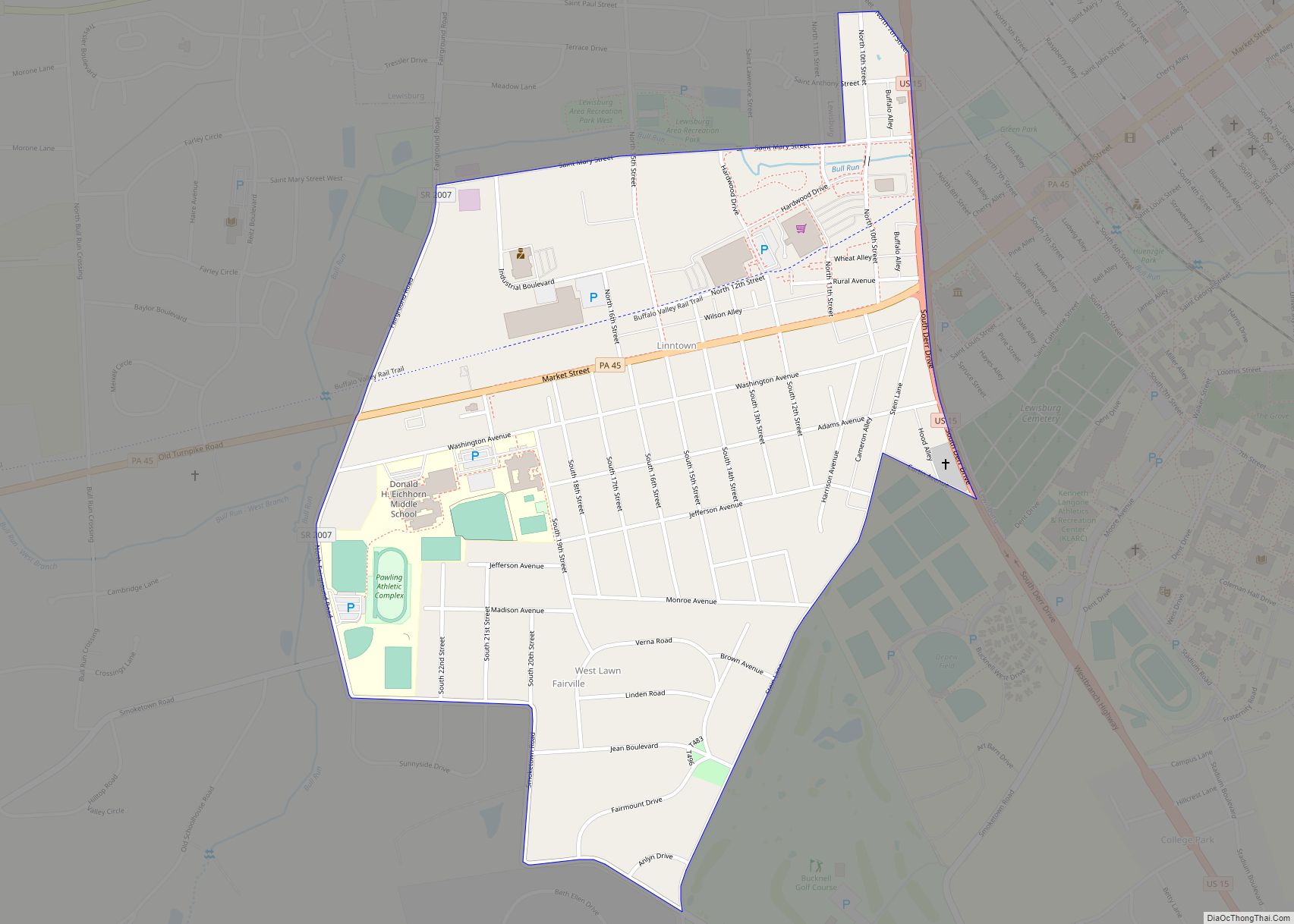
Linntown is a census-designated place (CDP) in East Buffalo Township, Union County, Pennsylvania, United States. The population was 1,489 at the 2010 census. Linntown CDP overview: Name: Linntown CDP LSAD Code: 57 LSAD Description: CDP (suffix) State: Pennsylvania County: Union County Total Area: 0.73 sq mi (1.89 km²) Land Area: 0.73 sq mi (1.89 km²) Water Area: 0.00 sq mi (0.00 km²) Total Population: ... Read more
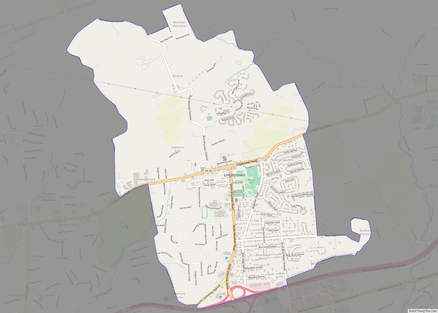
Linglestown is a census-designated place (CDP) in Lower Paxton Township, Dauphin County, Pennsylvania, United States. It was founded and laid out in 1765 by Thomas Lingle. The population was 6,539 at the 2020 census. It is part of the Harrisburg–Carlisle Metropolitan Statistical Area. Linglestown CDP overview: Name: Linglestown CDP LSAD Code: 57 LSAD Description: CDP ... Read more
Linesville is a borough in Crawford County, Pennsylvania, United States. The population was 964 at the 2020 census, down from 987 at the 2019 census. The town derives its name from its founders, who included William Line (the grandson of a Swiss immigrant), who migrated from Carlisle, Pennsylvania, circa the early 1820s, and his relative, ... Read more
Lincolnville is a census-designated place in Crawford County, Pennsylvania, United States. The population was 96, as per the 2010 census. Lincolnville CDP overview: Name: Lincolnville CDP LSAD Code: 57 LSAD Description: CDP (suffix) State: Pennsylvania County: Crawford County Elevation: 1,379 ft (420 m) Total Area: 0.27 sq mi (0.70 km²) Land Area: 0.27 sq mi (0.70 km²) Water Area: 0.00 sq mi (0.00 km²) Total Population: ... Read more
Lincoln is a borough in Allegheny County, Pennsylvania, United States. The population was 932 at the 2020 United States Census. Lincoln does not have its own post office. Three ZIP codes are used in the borough: 15133 for the northern portion of the borough adjacent to Liberty; 15135 for the eastern portion adjacent to the ... Read more

