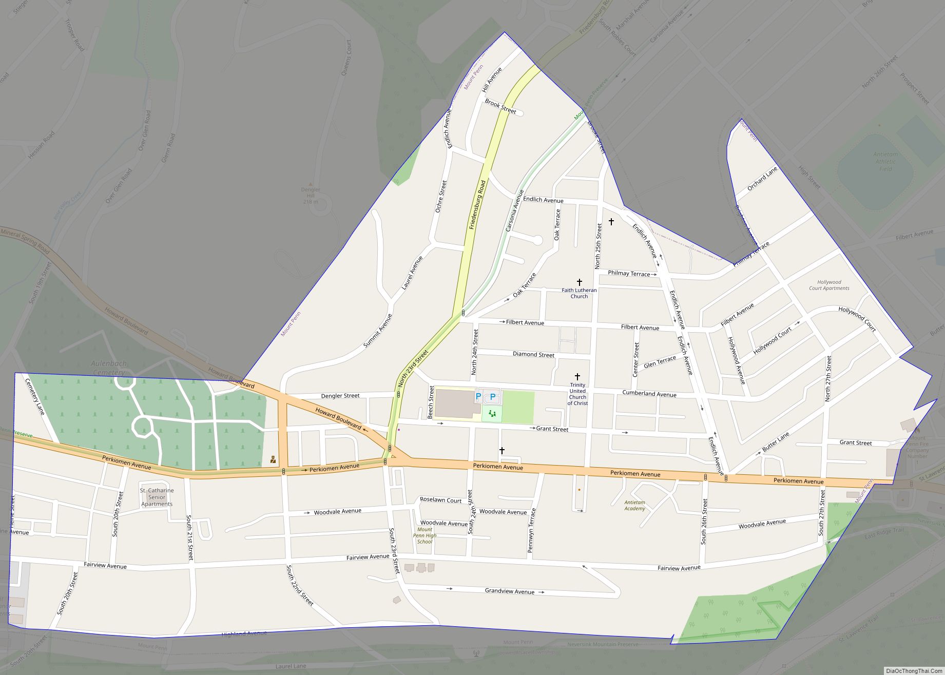
Mount Penn is a borough in Berks County, Pennsylvania, United States. The population was 3,106 at the 2010 census. The borough shares a name with a 1,120-foot-high (340 m) mountain that rises to the north and overlooks the city of Reading. The peak is sometimes recognized as the southern end of the Reading Prong group of ... Read more
Pennsylvania Cities and Places
Mount Oliver is a borough in Allegheny County, Pennsylvania, United States. It is a largely residential area situated atop a crest about 3 miles (5 km) west of the Monongahela River. The borough is surrounded entirely by the city of Pittsburgh, having resisted annexations by the city, as it prefers to manage its own local needs ... Read more
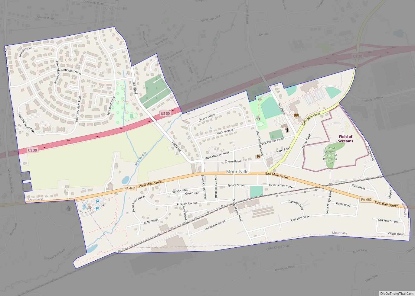
Mountville is a borough in Lancaster County, Pennsylvania, United States. The population was 3,022 at the 2020 census, an increase over the figure of 2,802 tabulated in 2010. The original Charles Chips potato chip factory was located here. Mountville borough overview: Name: Mountville borough LSAD Code: 21 LSAD Description: borough (suffix) State: Pennsylvania County: Lancaster ... Read more
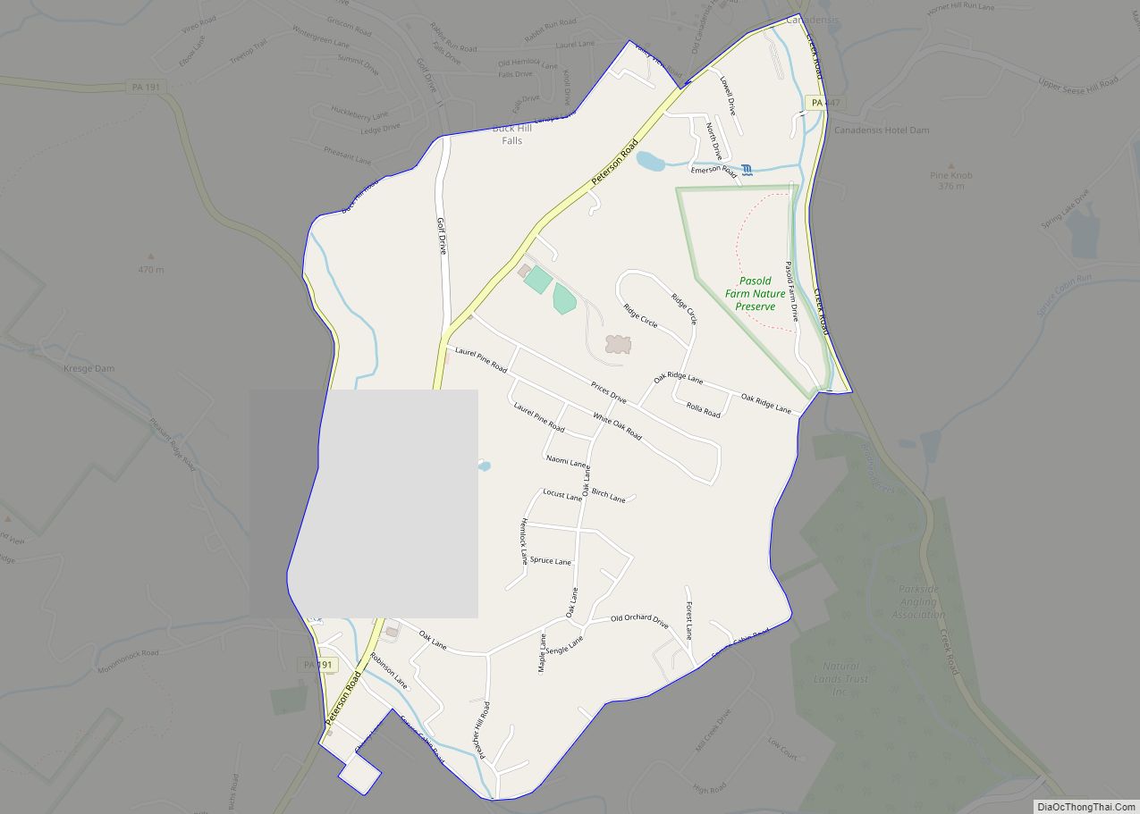
Mountainhome is a census-designated place (CDP) in Barrett Township, Monroe County, Pennsylvania, United States. The population was 1,182 at the 2010 census. Mountainhome CDP overview: Name: Mountainhome CDP LSAD Code: 57 LSAD Description: CDP (suffix) State: Pennsylvania County: Monroe County Elevation: 1,234 ft (376 m) Total Area: 1.90 sq mi (4.91 km²) Land Area: 1.90 sq mi (4.91 km²) Water Area: 0.00 sq mi (0.00 km²) ... Read more
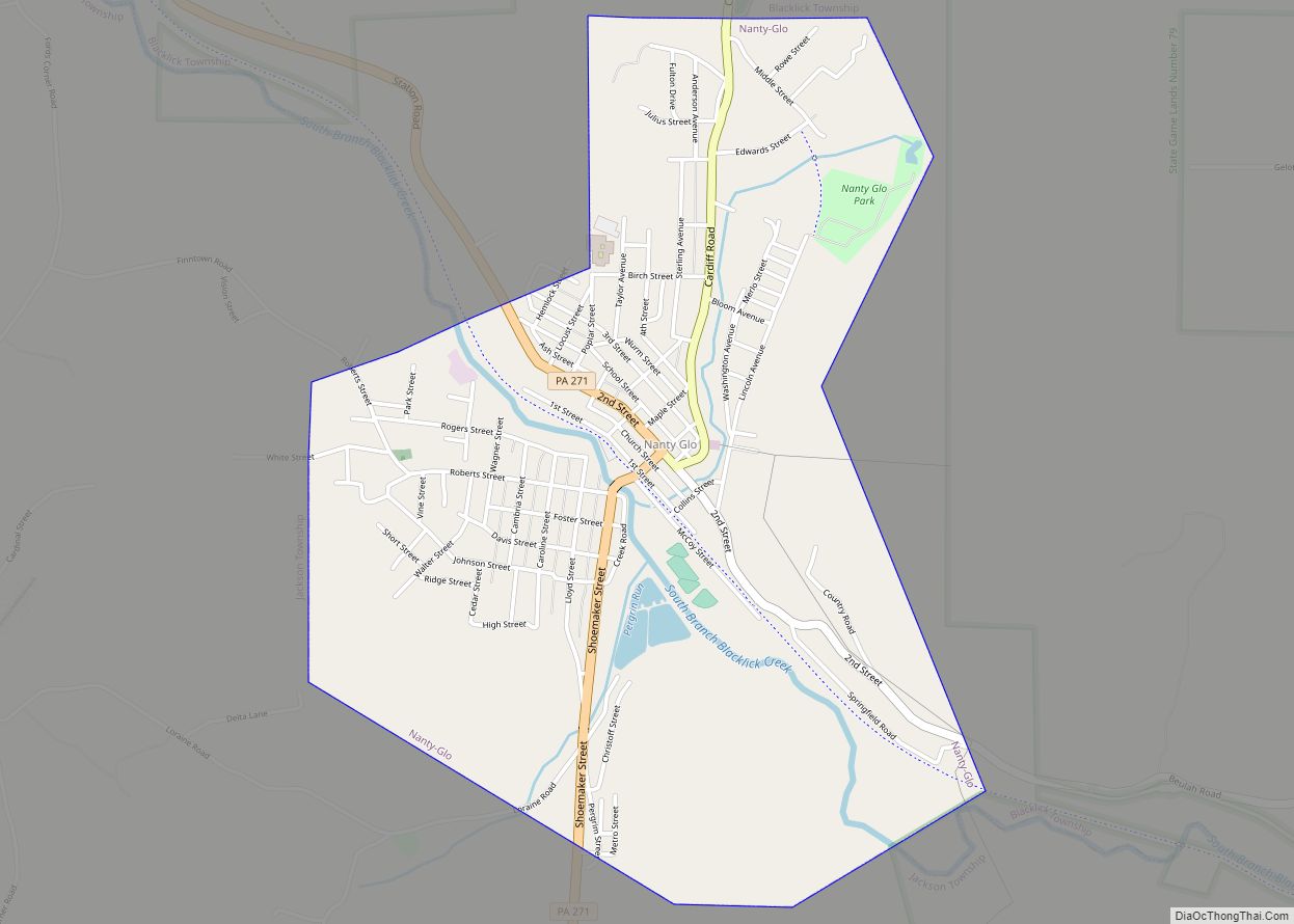
Nanty Glo is a borough in Cambria County, Pennsylvania, United States. It is part of the Johnstown, Pennsylvania Metropolitan Statistical Area. The population was 2,734 at the 2010 census. The name comes from the Welsh Nant Y Glo, meaning “The Ravine (or “Brook”) of Coal.” Nanty-Glo borough overview: Name: Nanty-Glo borough LSAD Code: 21 LSAD Description: borough ... Read more
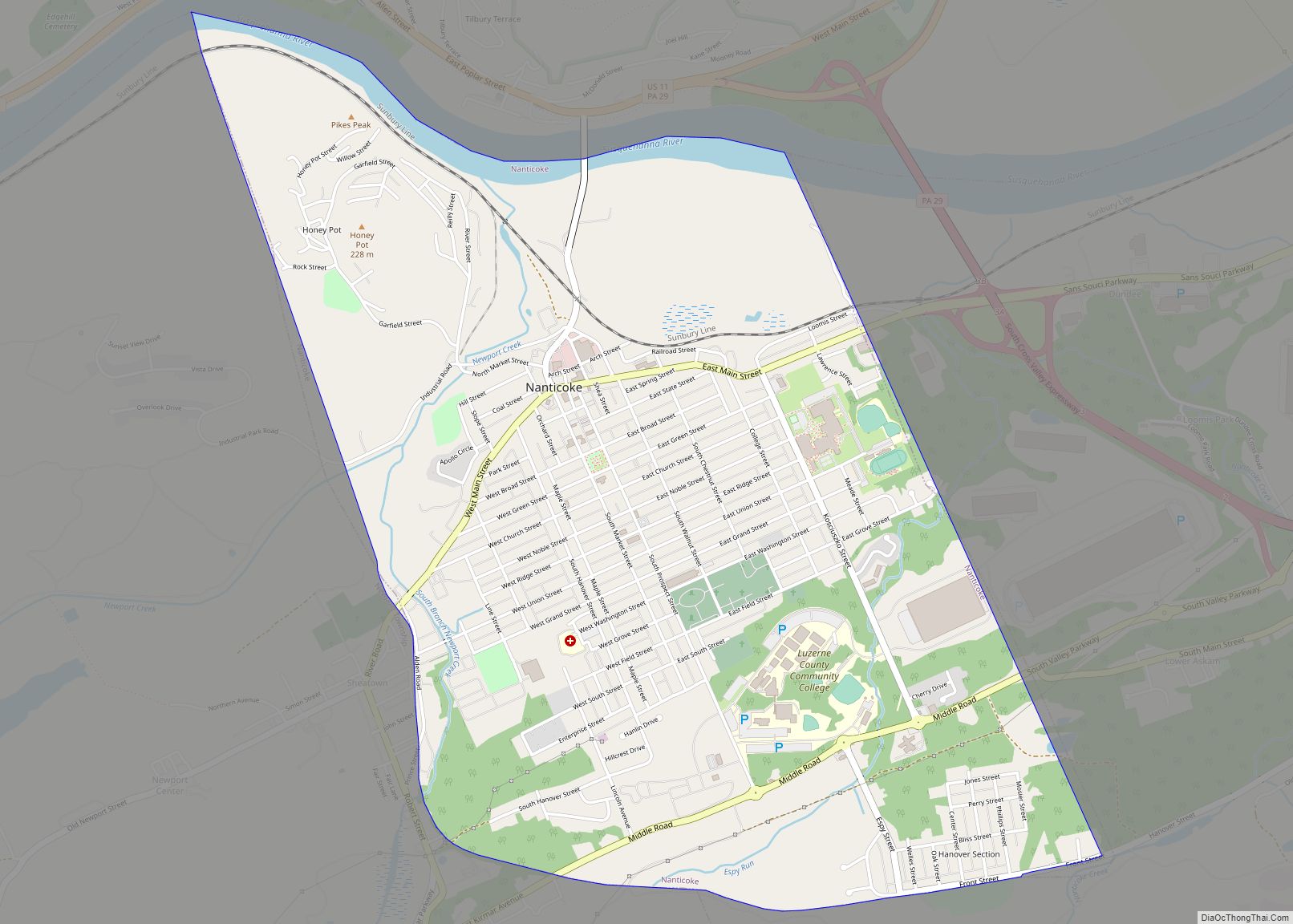
Nanticoke is a city in Luzerne County, Pennsylvania, United States. As of the 2020 census, the population was 10,628, making it the third largest city in Luzerne County. It occupies 3.5 square miles of land. Nanticoke is part of Northeastern Pennsylvania. The city can be divided into several sections: Honey Pot (northwestern Nanticoke), (northern and ... Read more
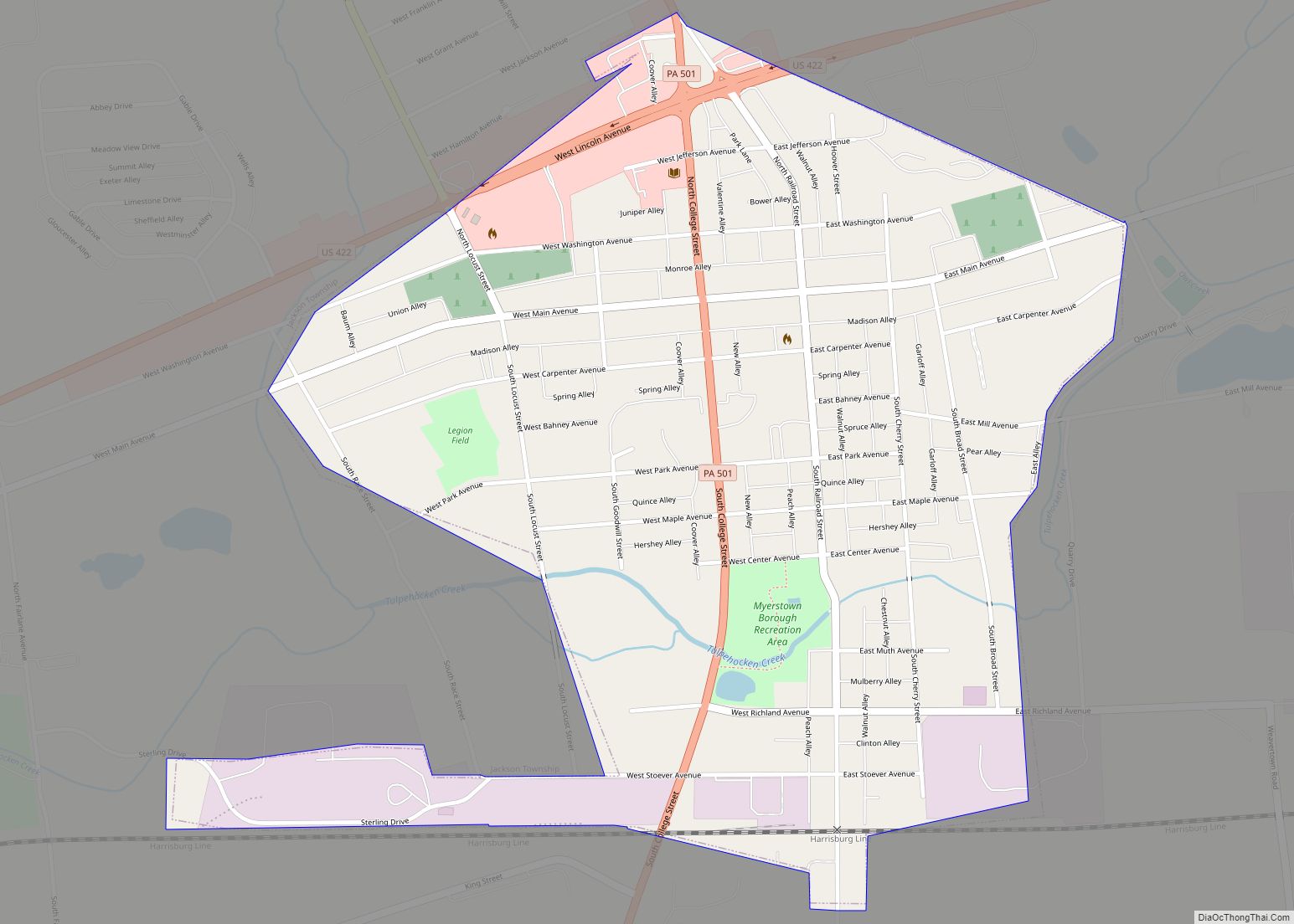
Myerstown (Pennsylvania Dutch: Moyerschteddel) is a borough located in Lebanon County, Pennsylvania. It is part of the Lebanon, Pennsylvania Metropolitan statistical area. The population was 3,103 at the 2020 census. It is home to over 100 businesses, including a Bayer manufacturing plant, a GAF manufacturing plant, Farmer Boy Ag, Stoneridge Towne Centre and Wengers of ... Read more
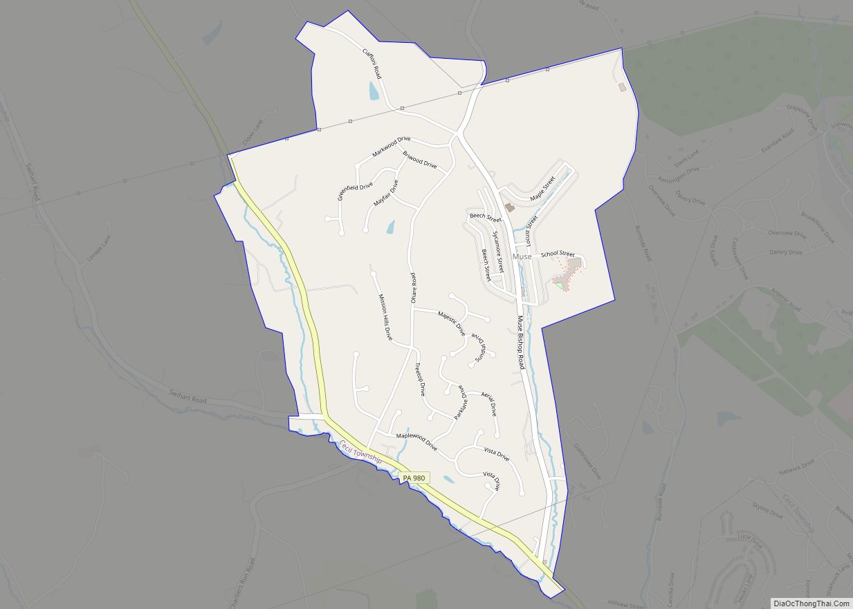
Muse is a census-designated place located in Cecil Township, Washington County, Pennsylvania. The community is located in northern Washington County north of the borough of Canonsburg. As of the 2010 census the population was 2,504 residents. Muse CDP overview: Name: Muse CDP LSAD Code: 57 LSAD Description: CDP (suffix) State: Pennsylvania County: Washington County Total ... Read more
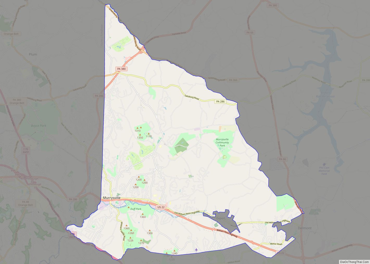
Murrysville is a home rule municipality in Westmoreland County, Pennsylvania, United States. The population was 21,006 at the 2020 census. It is part of the Pittsburgh metropolitan area. Murrysville municipality overview: Name: Murrysville municipality LSAD Code: 37 LSAD Description: municipality (suffix) State: Pennsylvania County: Westmoreland County Elevation: 1,110 ft (338.3 m) Total Area: 36.84 sq mi (95.41 km²) Land Area: ... Read more
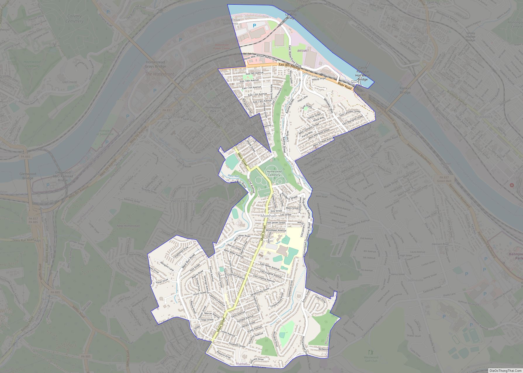
Munhall is a borough in Allegheny County, Pennsylvania, United States, on the west bank of the Monongahela River, 8 miles (13 km) south of the confluence of the Monongahela and the Allegheny rivers where the Ohio River begins. It abuts the borough of Homestead. A large part of the Homestead Works of the Carnegie Steel Company ... Read more
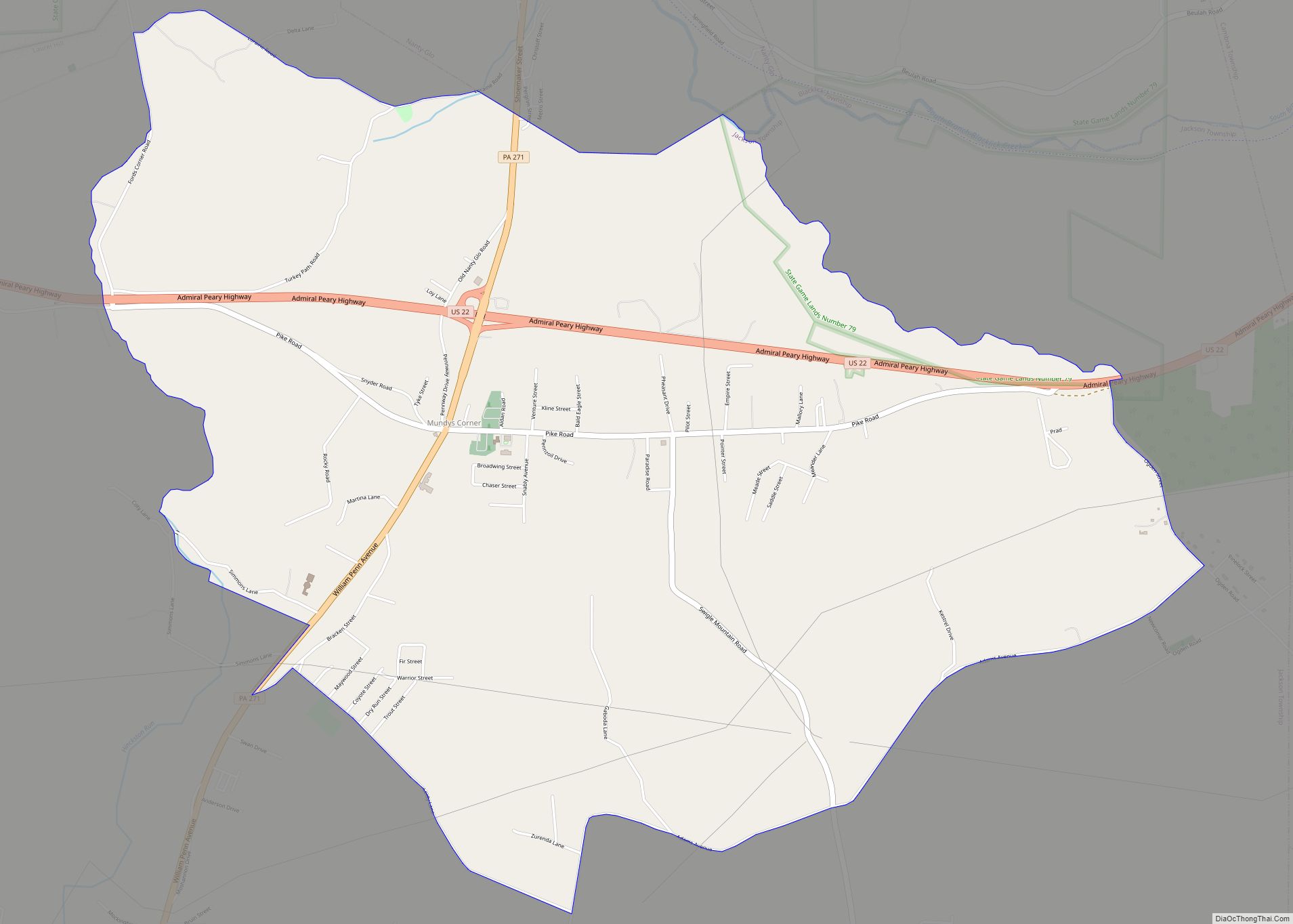
Mundys Corner is an unincorporated community and census-designated place in Jackson Township, Cambria County, Pennsylvania, United States. As of the 2010 census, the population was 1,651 residents. It is located near the intersection of U.S. Route 22 and Pennsylvania Route 271. US 22 leads east 7 miles (11 km) to Ebensburg, the Cambria County seat, and ... Read more
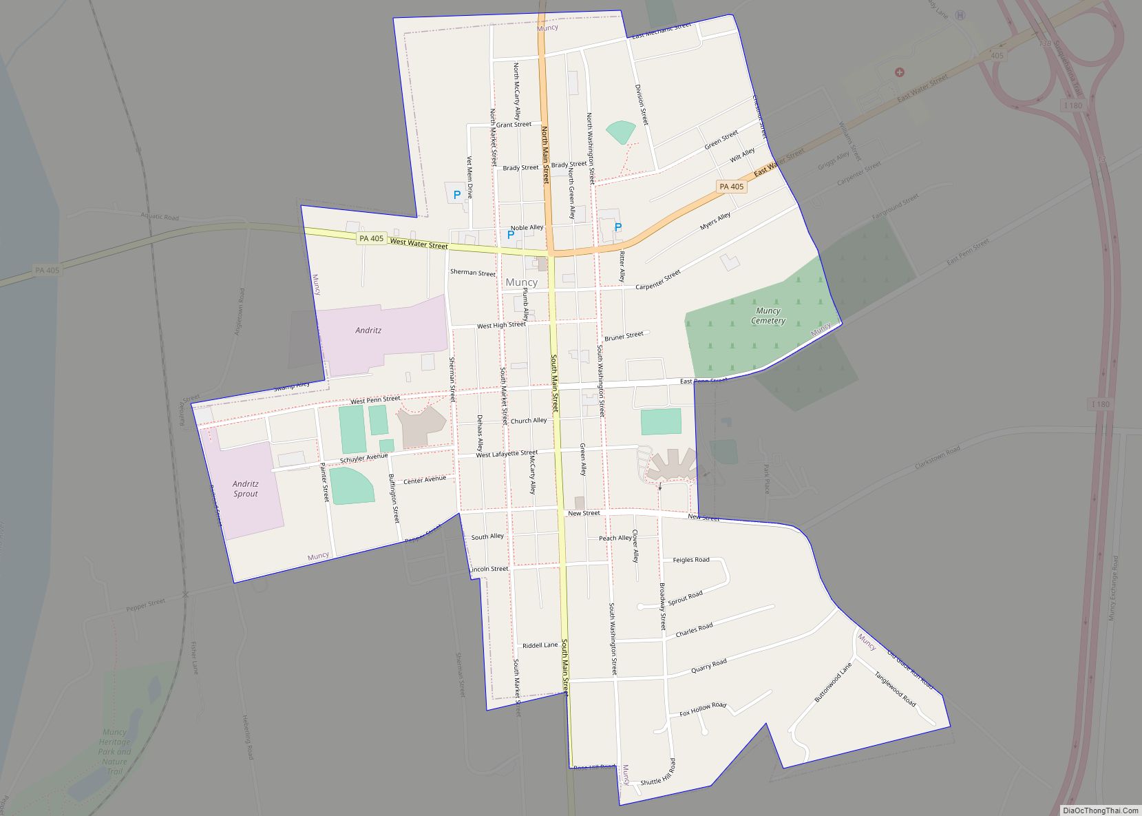
Muncy is a borough in Lycoming County, Pennsylvania. The name Muncy comes from the Munsee Indians who once lived in the area. The population was 2,442 at the 2020 census. It is part of the Williamsport, Pennsylvania Metropolitan Statistical Area. Muncy is located on the West Branch Susquehanna River, just south of the confluence of ... Read more
