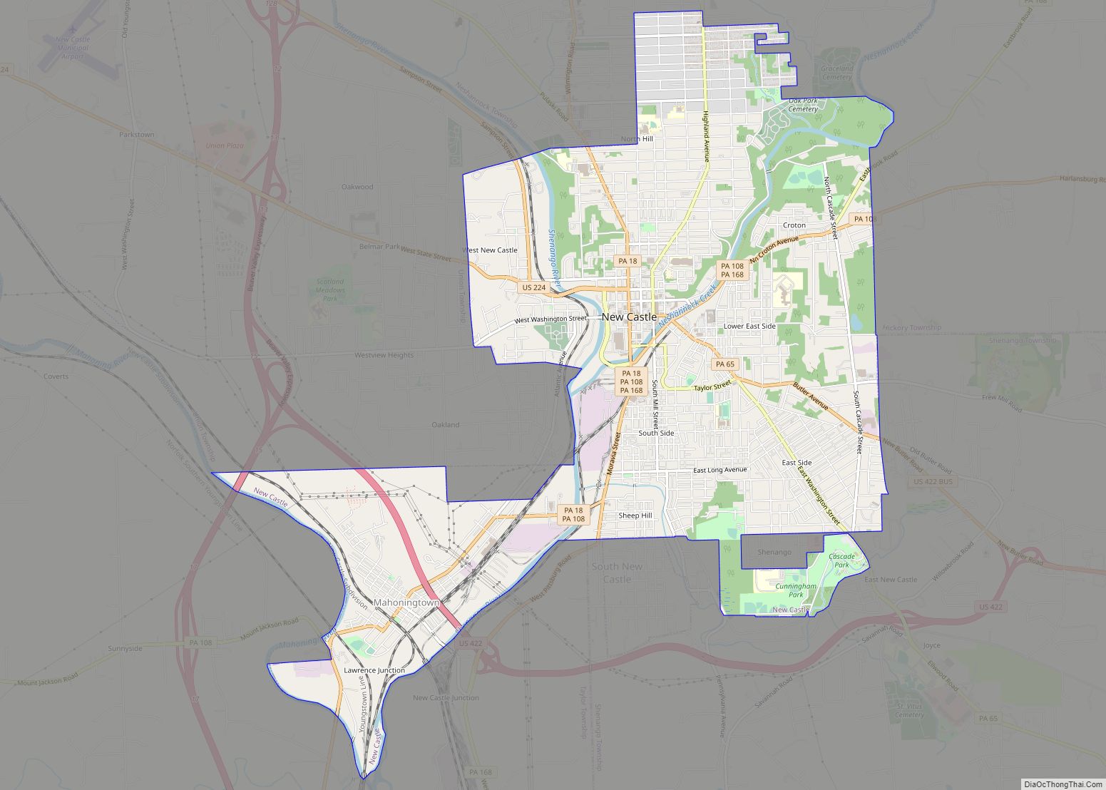
New Castle is a city in and the county seat of Lawrence County, Pennsylvania, United States. It is 50 miles (80 km) northwest of Pittsburgh near the Pennsylvania–Ohio border, approximately 18 miles (29 km) southeast of Youngstown, Ohio. As of the 2020 U.S. census, the city had a population of 21,926. New Castle is the commercial center ... Read more
Pennsylvania Cities and Places
New Castle Northwest is an unincorporated area and census-designated place (CDP) in Lawrence County, Pennsylvania, United States. The population was 1,413 at the 2010 census. New Castle Northwest CDP overview: Name: New Castle Northwest CDP LSAD Code: 57 LSAD Description: CDP (suffix) State: Pennsylvania County: Lawrence County Elevation: 1,047 ft (319 m) Total Area: 0.87 sq mi (2.26 km²) Land ... Read more
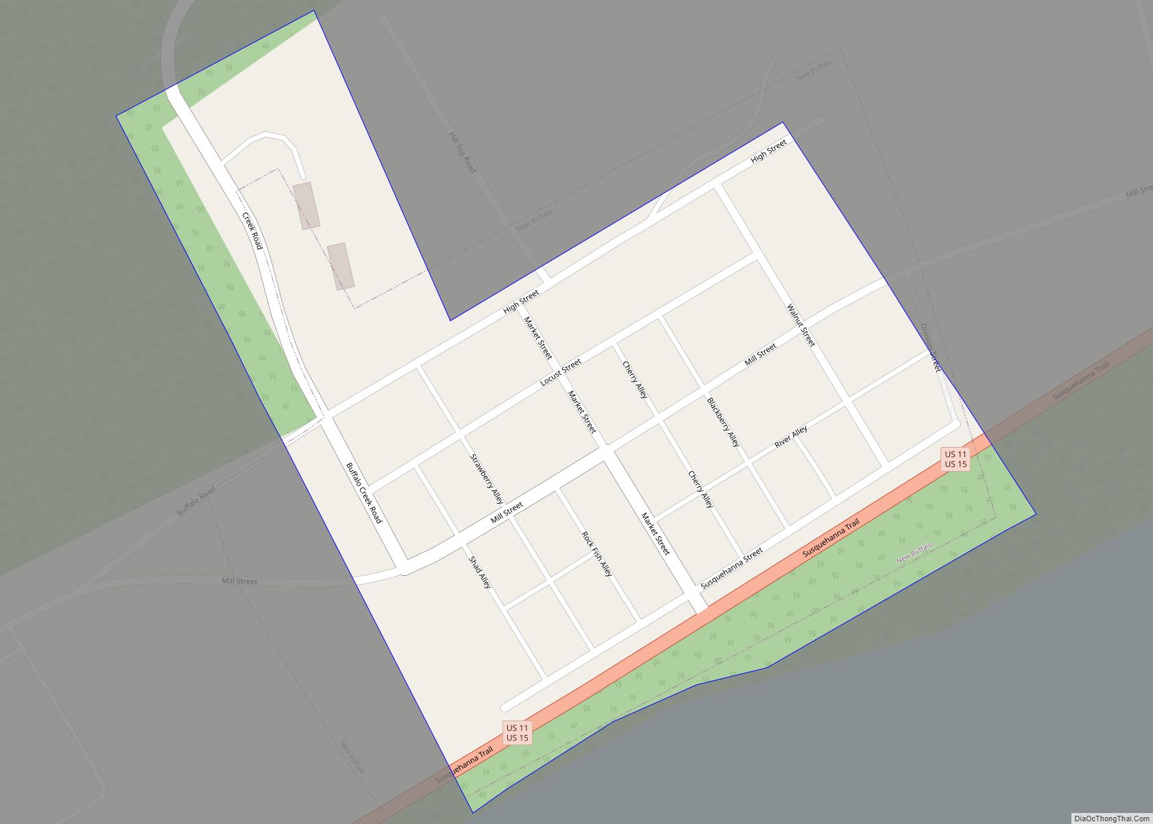
New Buffalo is a borough in Perry County, Pennsylvania, United States. The population was 124 at the time of the 2020 census. It is part of the Harrisburg metropolitan area. New Buffalo borough overview: Name: New Buffalo borough LSAD Code: 21 LSAD Description: borough (suffix) State: Pennsylvania County: Perry County Incorporated: 1848 Total Area: 0.06 sq mi ... Read more
New Britain is a borough in Bucks County, Pennsylvania, United States. The population was 3,152 at the 2010 census. New Britain borough overview: Name: New Britain borough LSAD Code: 21 LSAD Description: borough (suffix) State: Pennsylvania County: Bucks County Elevation: 276 ft (84 m) Total Area: 1.21 sq mi (3.13 km²) Land Area: 1.21 sq mi (3.13 km²) Water Area: 0.00 sq mi (0.01 km²) Total ... Read more
New Brighton is a borough in north-central Beaver County, Pennsylvania, United States, located along the Beaver River 28 miles (45 km) northwest of Pittsburgh. The population was 5,719 at the 2020 census. It is part of the Pittsburgh metropolitan area. New Brighton borough overview: Name: New Brighton borough LSAD Code: 21 LSAD Description: borough (suffix) State: ... Read more
New Bethlehem (/nuːˈbɛθ.lʌm/ new-BETH-lum) is a borough in Clarion County, Pennsylvania, United States. The population was 979 at the 2020 census. The borough is situated at the southwestern corner of the Pennsylvania Wilds Conservation Landscape. Its main street, PA Route 28-66, is a major thoroughfare between the Pittsburgh metropolitan region and northcentral Pennsylvania. New Bethlehem ... Read more
New Berlinville is a census-designated place (CDP) in Colebrookdale Township, Berks County, Pennsylvania, United States. It is located along Pennsylvania Route 100, approximately one mile northeast of the borough of Boyertown. As of the 2010 census, the population was 1,368 residents. New Berlinville CDP overview: Name: New Berlinville CDP LSAD Code: 57 LSAD Description: CDP ... Read more
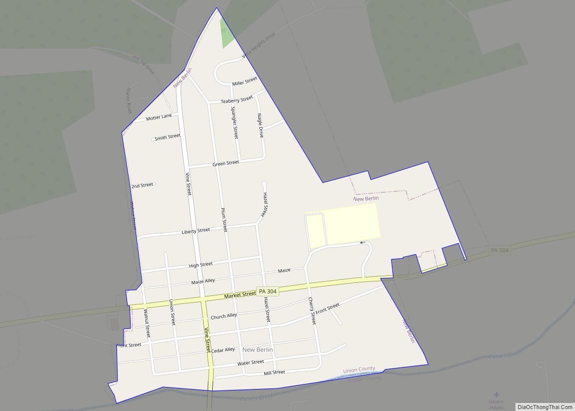
New Berlin is a borough in Union County, Pennsylvania, United States. The population was 791 at the 2020 census. New Berlin borough overview: Name: New Berlin borough LSAD Code: 21 LSAD Description: borough (suffix) State: Pennsylvania County: Union County Total Area: 0.40 sq mi (1.03 km²) Land Area: 0.39 sq mi (1.00 km²) Water Area: 0.01 sq mi (0.03 km²) Total Population: 801 Population ... Read more
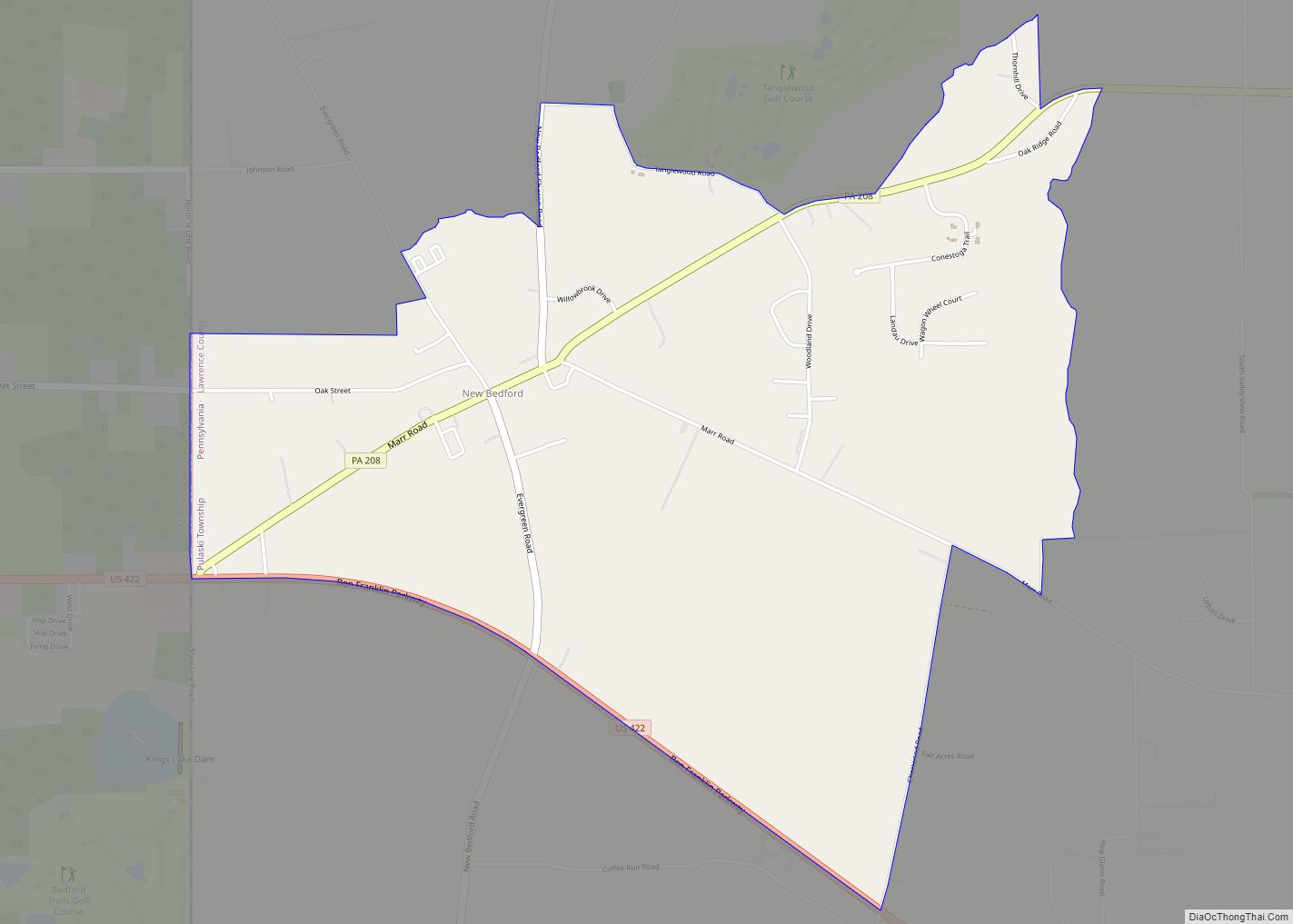
New Bedford is an unincorporated community and census-designated place (CDP) in Lawrence County, Pennsylvania, United States. The population was 925 at the 2010 census. New Bedford CDP overview: Name: New Bedford CDP LSAD Code: 57 LSAD Description: CDP (suffix) State: Pennsylvania County: Lawrence County Elevation: 1,145 ft (349 m) Total Area: 2.56 sq mi (6.62 km²) Land Area: 2.55 sq mi (6.61 km²) ... Read more
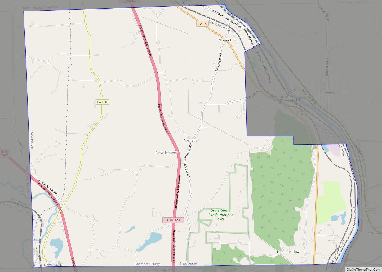
New Beaver is a borough in Lawrence County, Pennsylvania, United States. The population was 1,370 at the 2020 census. It is part of the New Castle micropolitan area. New Beaver borough overview: Name: New Beaver borough LSAD Code: 21 LSAD Description: borough (suffix) State: Pennsylvania County: Lawrence County Total Area: 14.57 sq mi (37.73 km²) Land Area: 14.45 sq mi ... Read more
New Holland (Pennsylvania Dutch: Seischwamm) is a borough in Lancaster County, Pennsylvania, United States. As of the 2020 census, the population was 5,762, an increase over the figure of 5,378 tabulated in 2010. New Holland borough overview: Name: New Holland borough LSAD Code: 21 LSAD Description: borough (suffix) State: Pennsylvania County: Lancaster County Elevation: 495 ft ... Read more
New Galilee is a borough in northern Beaver County, Pennsylvania, United States. The population was 331 at the 2020 census. It is a part of the Pittsburgh metropolitan area. New Galilee borough overview: Name: New Galilee borough LSAD Code: 21 LSAD Description: borough (suffix) State: Pennsylvania County: Beaver County Incorporated: 1854 Elevation: 958 ft (292 m) Total ... Read more
