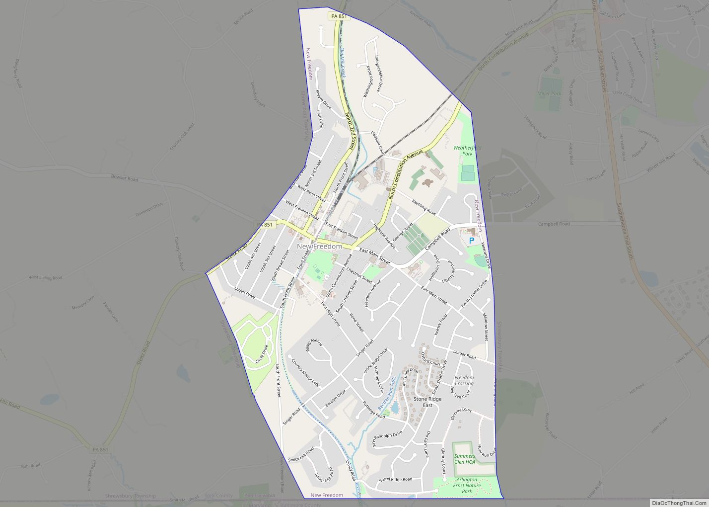
New Freedom is a borough in York County, Pennsylvania, United States. As of the 2020 census, the borough had a population of 4,874. Once an industrial/railroad town, the community has evolved into a predominantly residential community. New Freedom borough overview: Name: New Freedom borough LSAD Code: 21 LSAD Description: borough (suffix) State: Pennsylvania County: York ... Read more
Pennsylvania Cities and Places
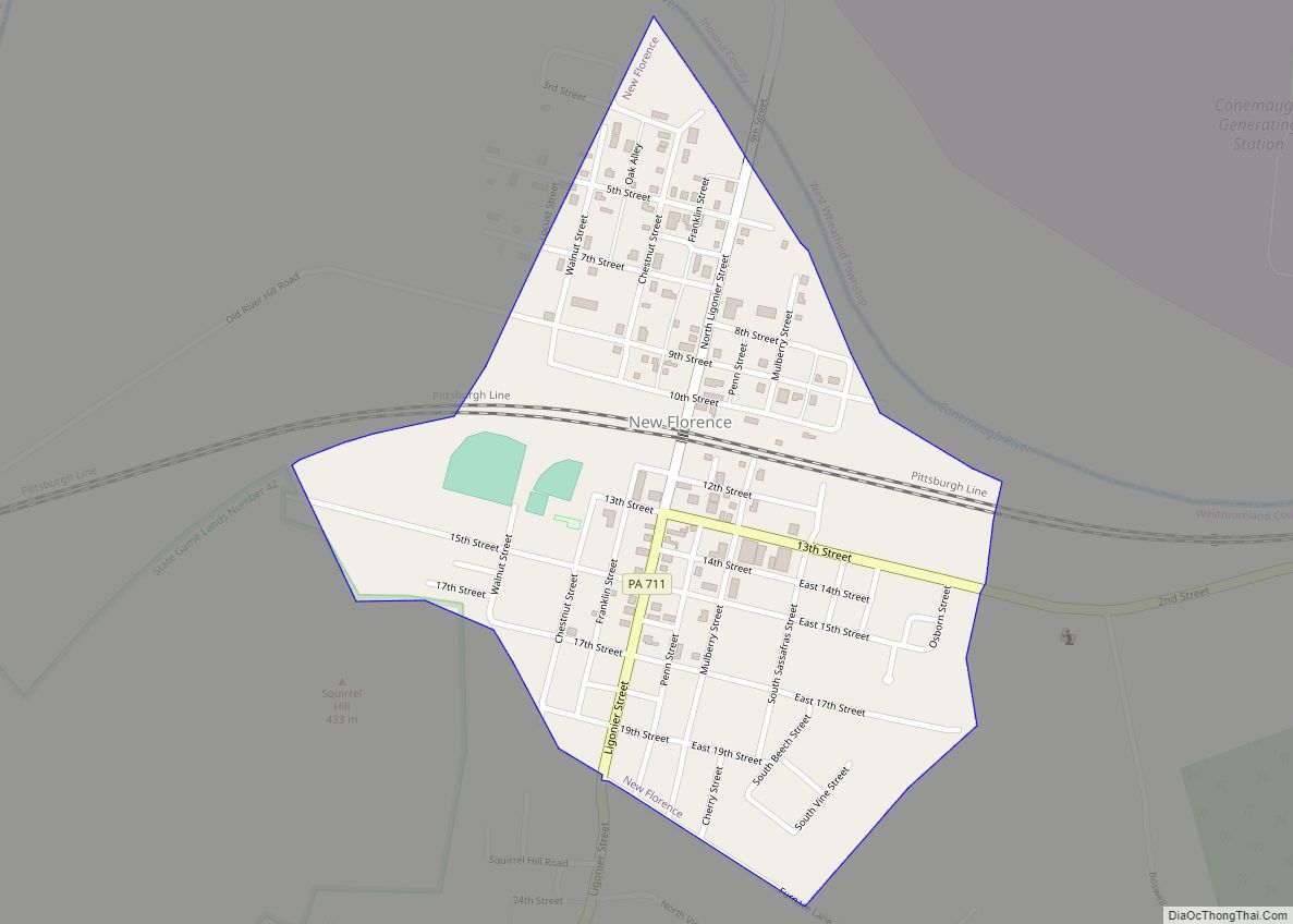
New Florence is a borough that is located in Westmoreland County, Pennsylvania, United States. The population was 689 as of the 2010 census, which is a decrease from the total of 784 that was recorded by the 2000 census. It is also one of three communities within the county to utilise the 814 area code, ... Read more
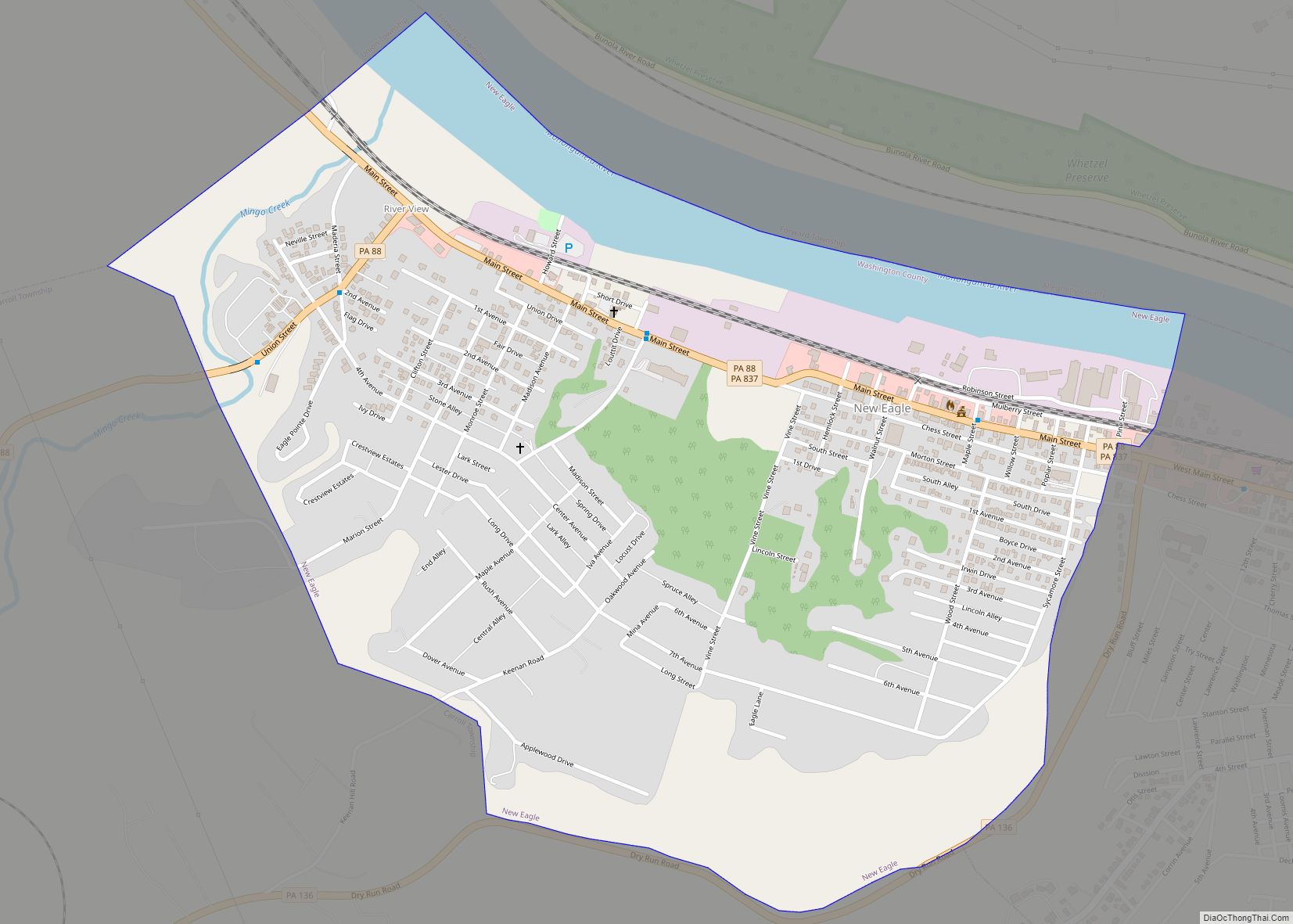
New Eagle is a borough in Washington County, Pennsylvania, United States and is part of the Pittsburgh Metro Area. The population was 2,047 at the 2020 census. New Eagle borough overview: Name: New Eagle borough LSAD Code: 21 LSAD Description: borough (suffix) State: Pennsylvania County: Washington County Total Area: 1.11 sq mi (2.89 km²) Land Area: 1.02 sq mi (2.63 km²) ... Read more
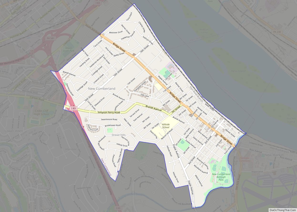
New Cumberland is a borough in easternmost Cumberland County, Pennsylvania, United States. New Cumberland was incorporated on March 21, 1831. The population was 7,277 at the 2010 census. The borough is noted for its historic downtown which includes landmarks like the historic West Shore Theater, Borough park, the yearly Apple Festival, which gathers hundreds of ... Read more
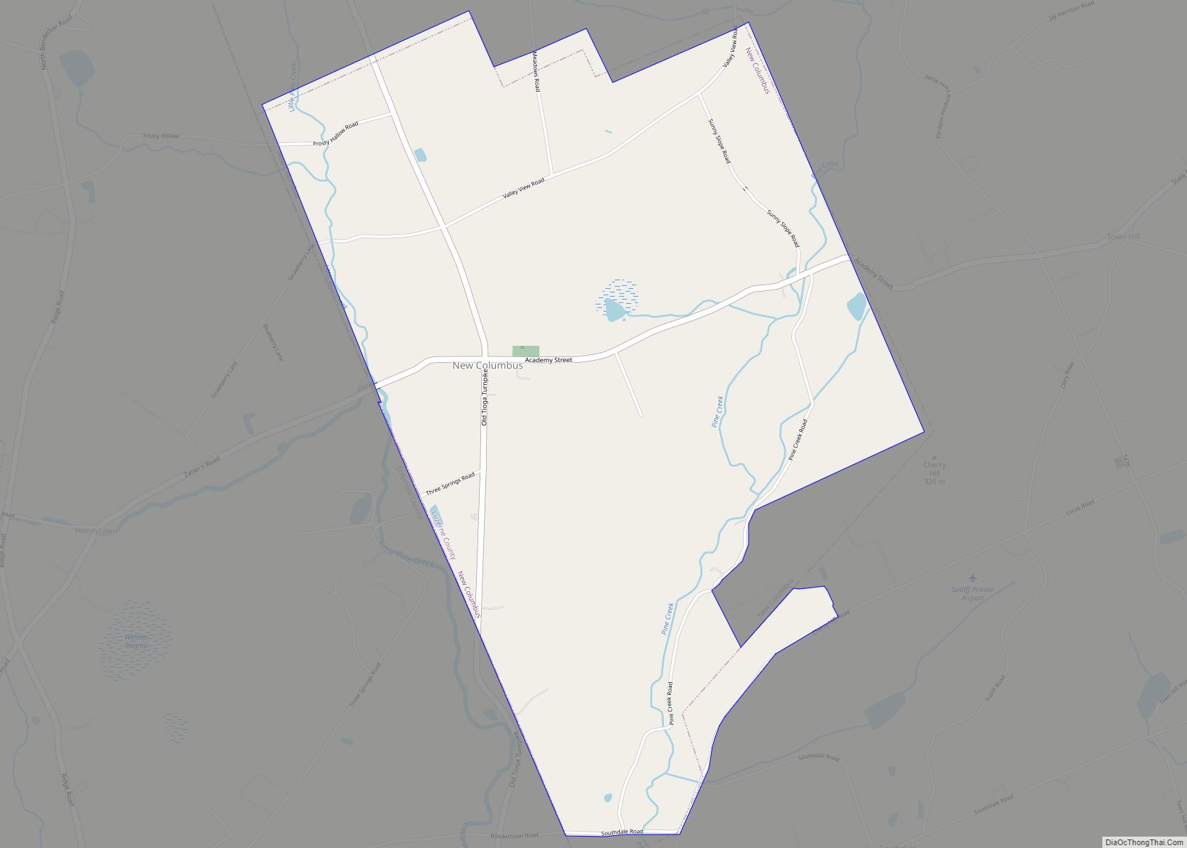
New Columbus is a borough in Luzerne County, Pennsylvania, United States. The population was 219 at the 2020 census. New Columbus borough overview: Name: New Columbus borough LSAD Code: 21 LSAD Description: borough (suffix) State: Pennsylvania County: Luzerne County Incorporated: 1859 Total Area: 3.10 sq mi (8.04 km²) Land Area: 3.10 sq mi (8.04 km²) Water Area: 0.00 sq mi (0.00 km²) Total Population: ... Read more
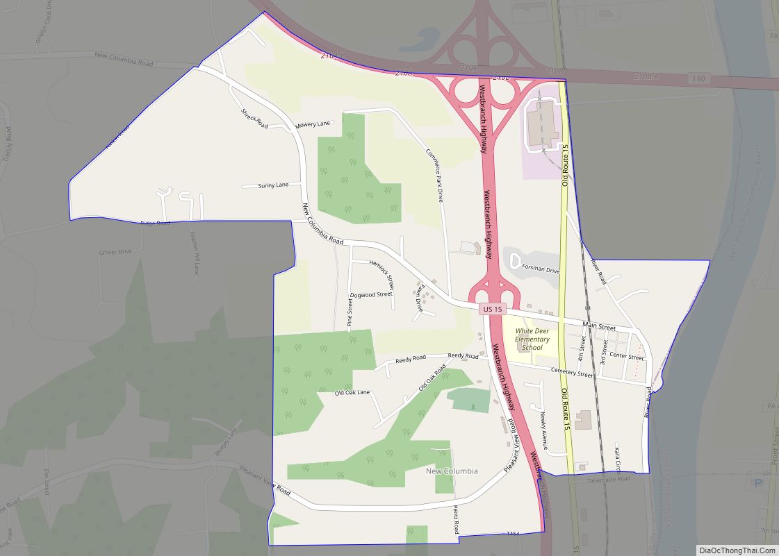
New Columbia is a census-designated place located in White Deer Township, Union County in the state of Pennsylvania. The community is located in eastern Union County along U.S. Route 15, very near to the West Branch Susquehanna River. As of the 2010 census the population was 1,013 residents. New Columbia CDP overview: Name: New Columbia ... Read more
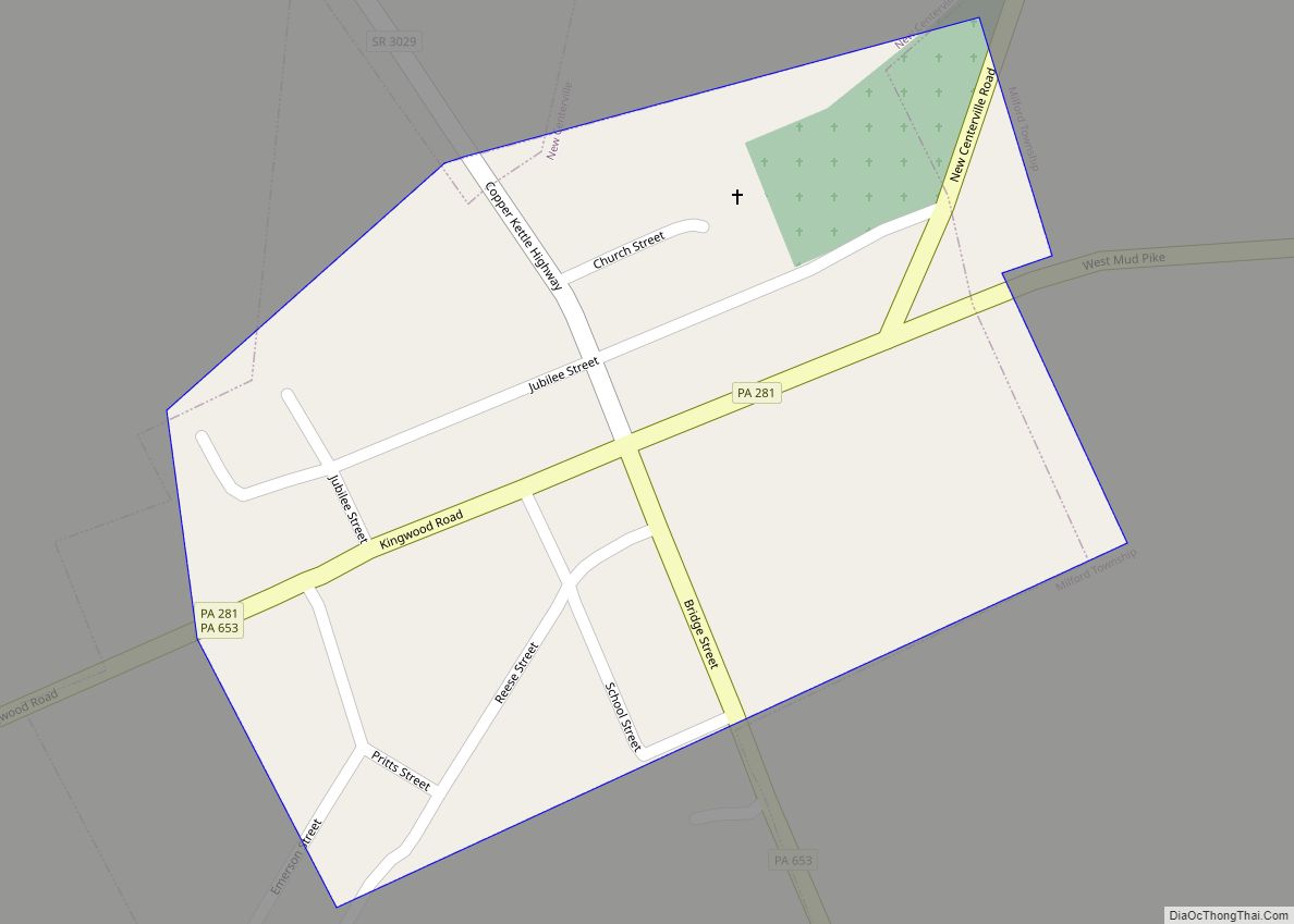
New Centerville is a borough in Somerset County, Pennsylvania, United States. The population was 127 at the 2020 census. It is part of the Johnstown, Pennsylvania, Metropolitan Statistical Area. It should not be confused with the unincorporated village of New Centerville in Tredyffrin Township. New Centerville borough overview: Name: New Centerville borough LSAD Code: 21 ... Read more
New Holland (Pennsylvania Dutch: Seischwamm) is a borough in Lancaster County, Pennsylvania, United States. As of the 2020 census, the population was 5,762, an increase over the figure of 5,378 tabulated in 2010. New Holland borough overview: Name: New Holland borough LSAD Code: 21 LSAD Description: borough (suffix) State: Pennsylvania County: Lancaster County Elevation: 495 ft ... Read more
New Paris is a borough in Bedford County, Pennsylvania, United States. The population was 201 at the 2020 census. New Paris borough overview: Name: New Paris borough LSAD Code: 21 LSAD Description: borough (suffix) State: Pennsylvania County: Bedford County Incorporated: 1882 Elevation: 1,650 ft (500 m) Total Area: 0.06 sq mi (0.15 km²) Land Area: 0.06 sq mi (0.15 km²) Water Area: 0.00 sq mi ... Read more
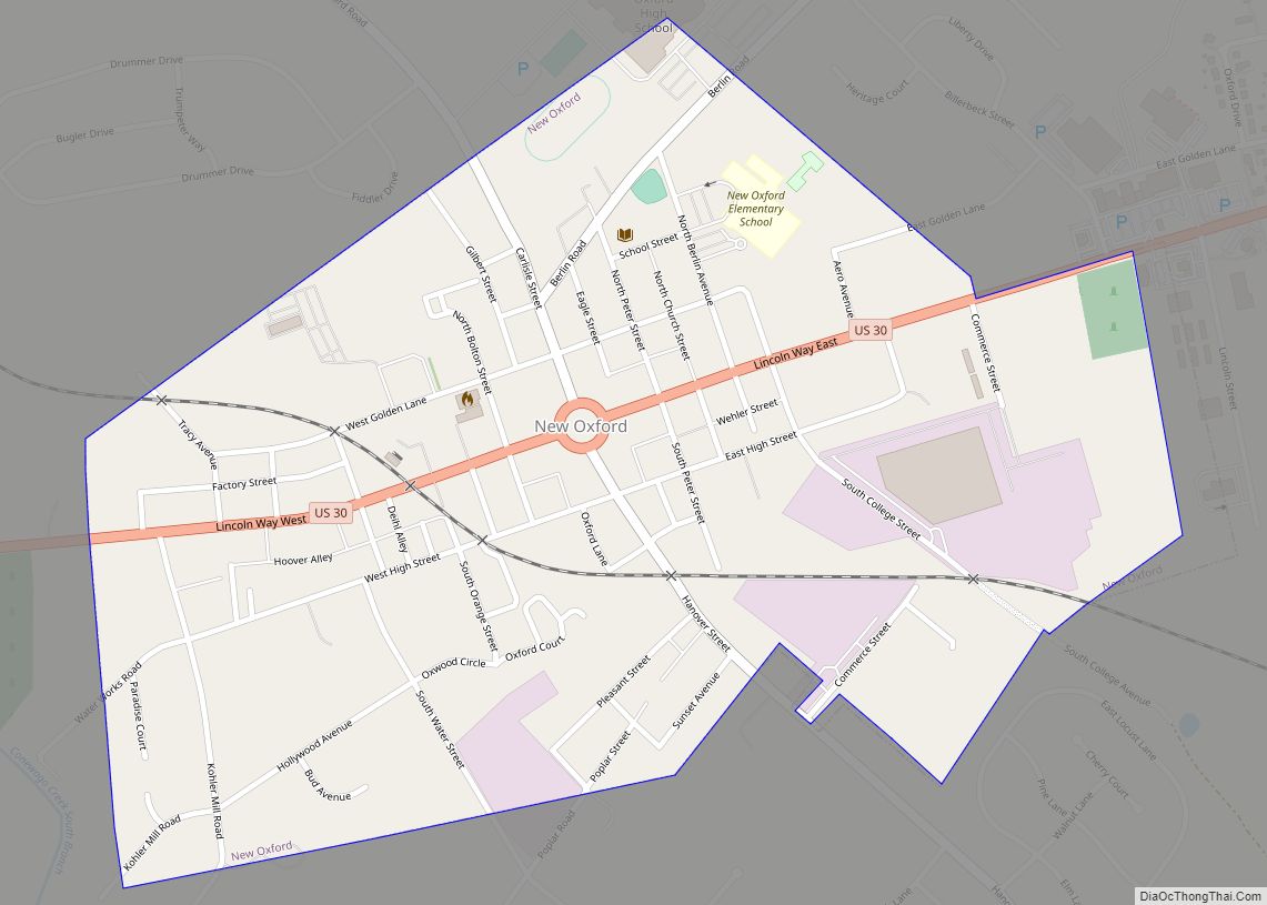
New Oxford is a borough in Adams County, Pennsylvania, United States. The population was 1,868 at the 2020 census. New Oxford borough overview: Name: New Oxford borough LSAD Code: 21 LSAD Description: borough (suffix) State: Pennsylvania County: Adams County Incorporated: 1874 Elevation: 558 ft (170 m) Total Area: 0.62 sq mi (1.60 km²) Land Area: 0.62 sq mi (1.60 km²) Water Area: 0.00 sq mi ... Read more
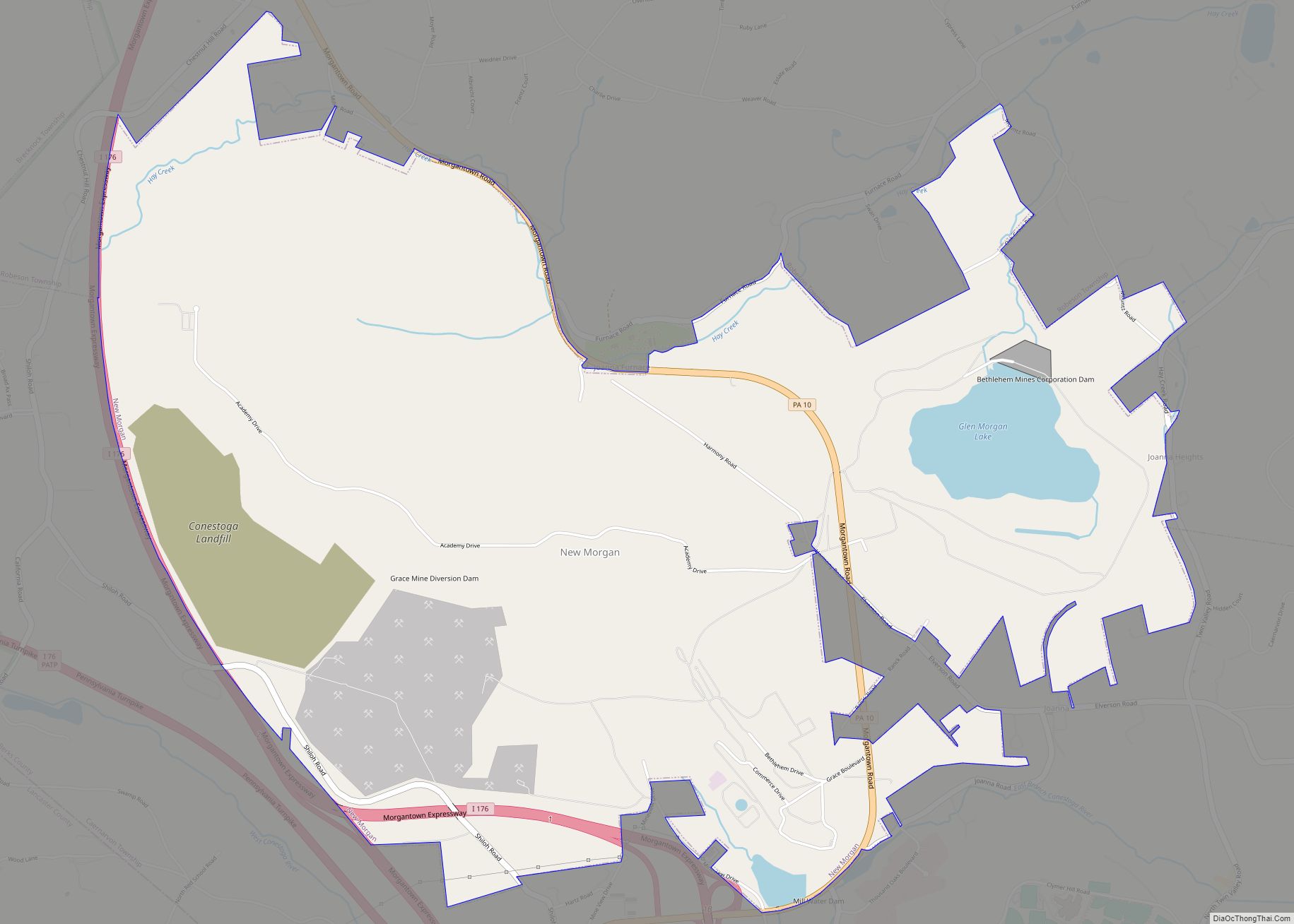
New Morgan is a borough in Berks County, Pennsylvania. The population was 71 at the 2010 census. New Morgan borough overview: Name: New Morgan borough LSAD Code: 21 LSAD Description: borough (suffix) State: Pennsylvania County: Berks County Incorporated: April 1988 Elevation: 630 ft (190 m) Total Area: 5.79 sq mi (14.99 km²) Land Area: 5.51 sq mi (14.27 km²) Water Area: 0.28 sq mi (0.72 km²) ... Read more
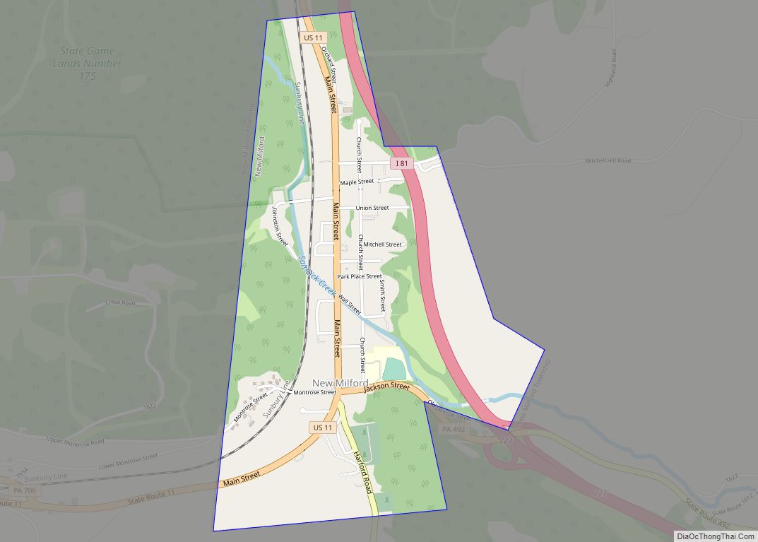
New Milford is a borough in Susquehanna County, Pennsylvania, United States. The population was 817 at the 2020 census. Children living in New Milford are served by the schools in the Blue Ridge School District, including Blue Ridge High School. New Milford borough overview: Name: New Milford borough LSAD Code: 21 LSAD Description: borough (suffix) ... Read more
