New Florence is a borough that is located in Westmoreland County, Pennsylvania, United States. The population was 689 as of the 2010 census, which is a decrease from the total of 784 that was recorded by the 2000 census.
It is also one of three communities within the county to utilise the 814 area code, alongside St. Clair and Seward.
| Name: | New Florence borough |
|---|---|
| LSAD Code: | 21 |
| LSAD Description: | borough (suffix) |
| State: | Pennsylvania |
| County: | Westmoreland County |
| Incorporated: | May 27, 1865 |
| Elevation: | 1,079 ft (329 m) |
| Total Area: | 0.33 sq mi (0.85 km²) |
| Land Area: | 0.33 sq mi (0.85 km²) |
| Water Area: | 0.00 sq mi (0.00 km²) |
| Total Population: | 671 |
| Population Density: | 2,045.73/sq mi (790.66/km²) |
| Area code: | 724, 814 |
| FIPS code: | 4253544 |
Online Interactive Map
Click on ![]() to view map in "full screen" mode.
to view map in "full screen" mode.
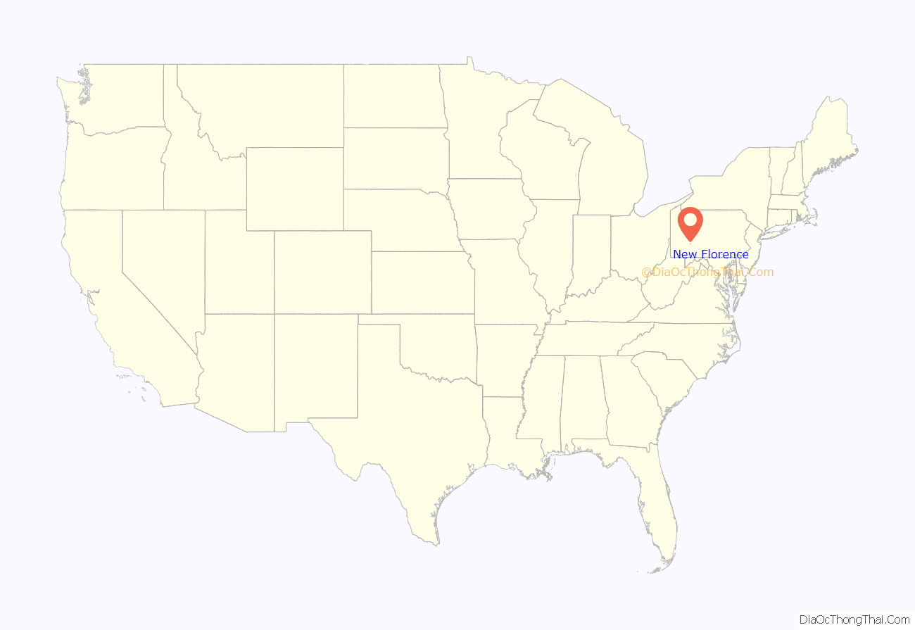
New Florence location map. Where is New Florence borough?

History
This Pennsylvania was named for the city of Florence in Italy.
New Florence Road Map

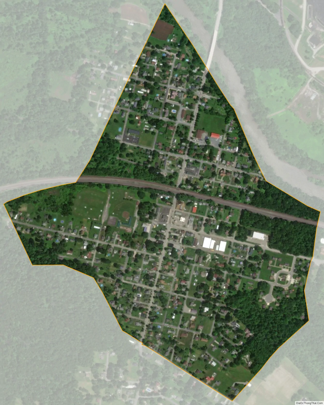
New Florence city Satellite Map
Geography
New Florence is located at 40°22′47″N 79°4′29″W / 40.37972°N 79.07472°W / 40.37972; -79.07472 (40.379707, -79.074841).
According to the United States Census Bureau, the borough has a total area of 0.4 square miles (1.0 km), of which 0.3 square miles (0.78 km) is land and 0.04 square miles (0.10 km) (5.56%) is water.
See also
Map of Pennsylvania State and its subdivision:- Adams
- Allegheny
- Armstrong
- Beaver
- Bedford
- Berks
- Blair
- Bradford
- Bucks
- Butler
- Cambria
- Cameron
- Carbon
- Centre
- Chester
- Clarion
- Clearfield
- Clinton
- Columbia
- Crawford
- Cumberland
- Dauphin
- Delaware
- Elk
- Erie
- Fayette
- Forest
- Franklin
- Fulton
- Greene
- Huntingdon
- Indiana
- Jefferson
- Juniata
- Lackawanna
- Lancaster
- Lawrence
- Lebanon
- Lehigh
- Luzerne
- Lycoming
- Mc Kean
- Mercer
- Mifflin
- Monroe
- Montgomery
- Montour
- Northampton
- Northumberland
- Perry
- Philadelphia
- Pike
- Potter
- Schuylkill
- Snyder
- Somerset
- Sullivan
- Susquehanna
- Tioga
- Union
- Venango
- Warren
- Washington
- Wayne
- Westmoreland
- Wyoming
- York
- Alabama
- Alaska
- Arizona
- Arkansas
- California
- Colorado
- Connecticut
- Delaware
- District of Columbia
- Florida
- Georgia
- Hawaii
- Idaho
- Illinois
- Indiana
- Iowa
- Kansas
- Kentucky
- Louisiana
- Maine
- Maryland
- Massachusetts
- Michigan
- Minnesota
- Mississippi
- Missouri
- Montana
- Nebraska
- Nevada
- New Hampshire
- New Jersey
- New Mexico
- New York
- North Carolina
- North Dakota
- Ohio
- Oklahoma
- Oregon
- Pennsylvania
- Rhode Island
- South Carolina
- South Dakota
- Tennessee
- Texas
- Utah
- Vermont
- Virginia
- Washington
- West Virginia
- Wisconsin
- Wyoming


