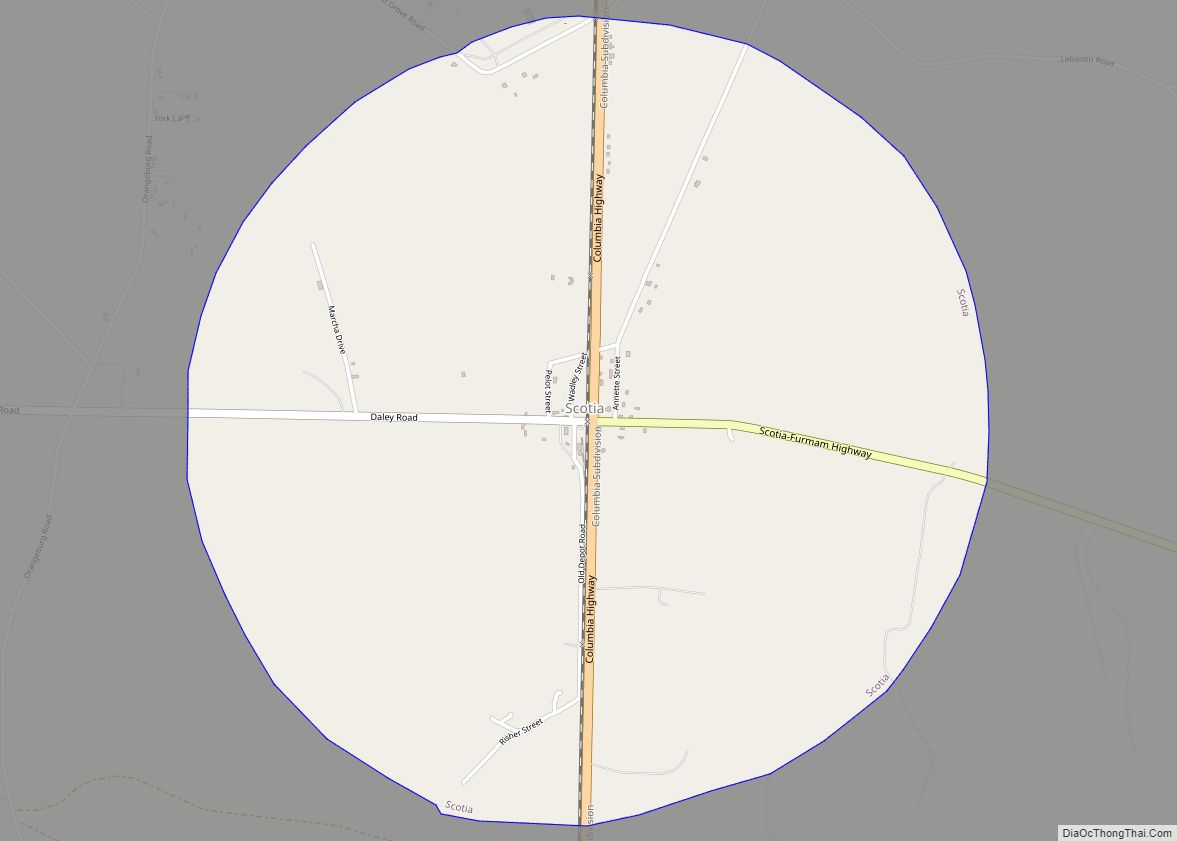
Scotia is a town in Hampton County, South Carolina, United States. The population was 215 at the 2010 census. Scotia town overview: Name: Scotia town LSAD Code: 43 LSAD Description: town (suffix) State: South Carolina County: Hampton County Elevation: 95 ft (29 m) Total Area: 3.17 sq mi (8.20 km²) Land Area: 3.17 sq mi (8.20 km²) Water Area: 0.00 sq mi (0.00 km²) Total Population: ... Read more
South Carolina Cities and Places
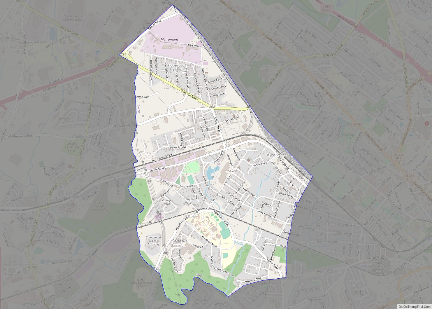
Saxon is a census-designated place (CDP) in Spartanburg County, South Carolina, United States. The population was 3,424 at the 2010 census. Saxon CDP overview: Name: Saxon CDP LSAD Code: 57 LSAD Description: CDP (suffix) State: South Carolina County: Spartanburg County Elevation: 856 ft (261 m) Total Area: 2.39 sq mi (6.18 km²) Land Area: 2.38 sq mi (6.17 km²) Water Area: 0.01 sq mi (0.01 km²) ... Read more
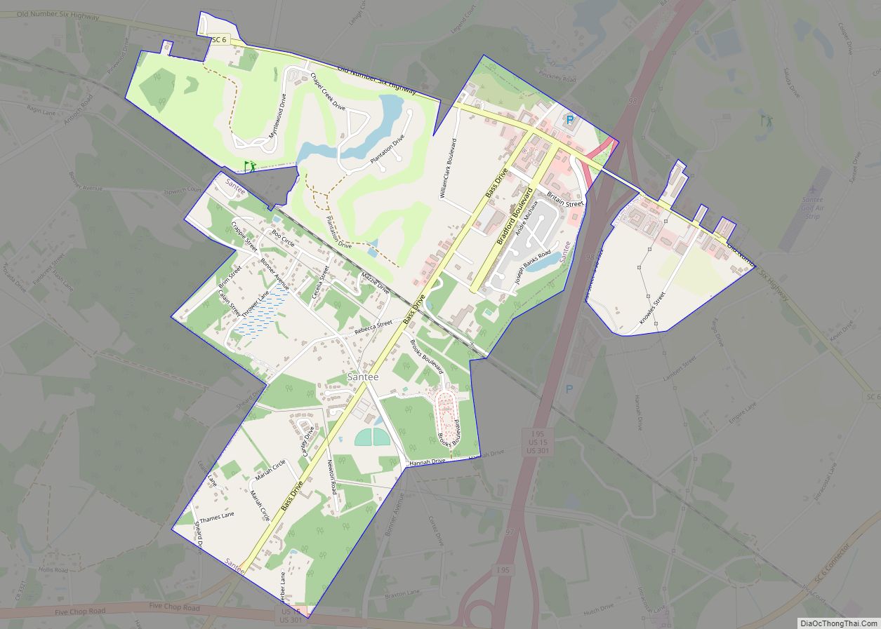
Santee is a town in Orangeburg County along the Santee River Valley in central South Carolina, United States. It has become a resort town of note located centrally north-south along the Atlantic Seaboard of South Carolina. The region has been rural, with a primarily agricultural economy typical of Orangeburg County, but is now known primarily ... Read more
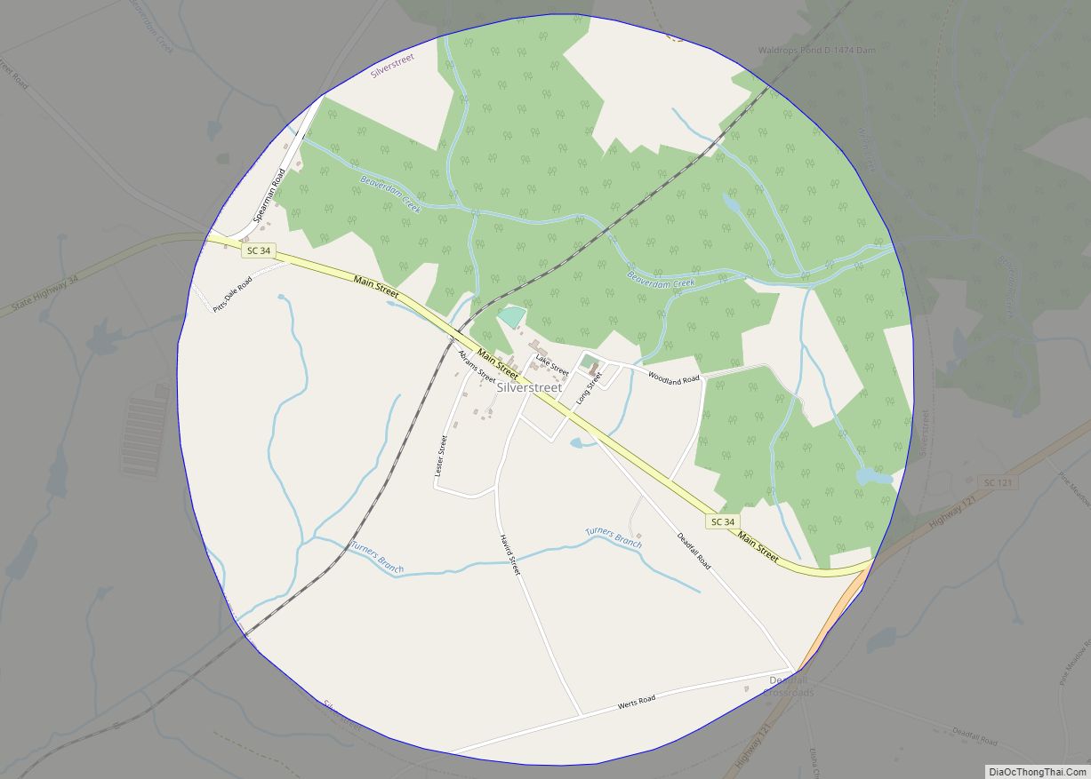
Silverstreet is a town in Newberry County, South Carolina, United States. The population was 162 at the 2010 census. Arguably its biggest tourist attraction is its Thunderbolt siren, tested once a week for three minutes, and the last of its kind in Newberry County. Silverstreet town overview: Name: Silverstreet town LSAD Code: 43 LSAD Description: ... Read more
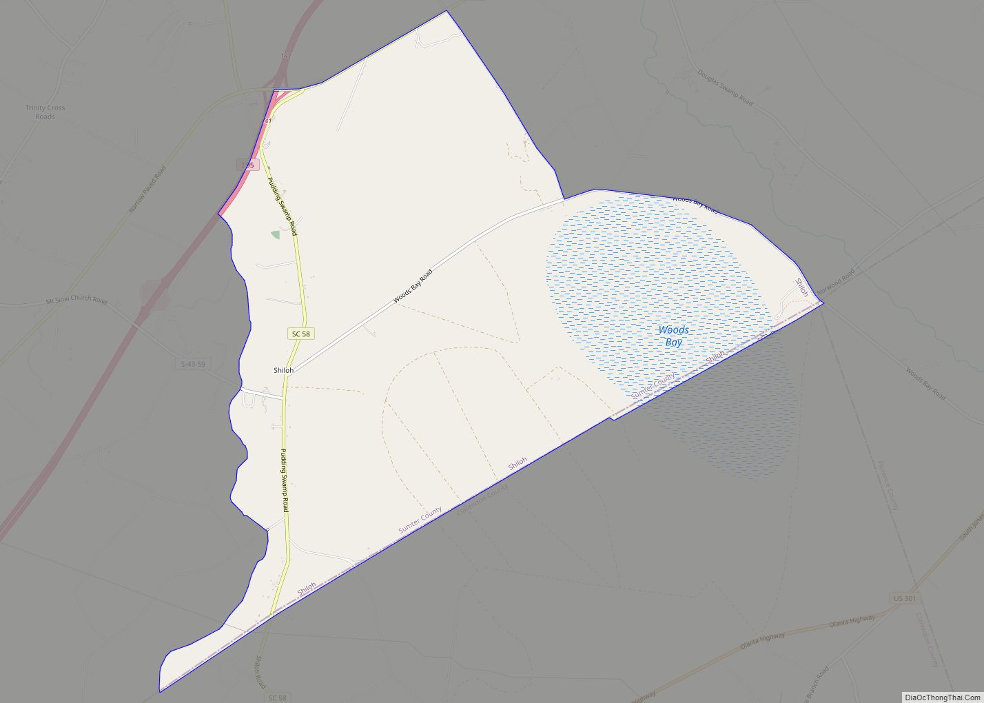
Shiloh is a census-designated place (CDP) in Sumter County, South Carolina, United States. The population was 259 at the 2000 census. It is included in the Sumter, South Carolina Metropolitan Statistical Area. Shiloh CDP overview: Name: Shiloh CDP LSAD Code: 57 LSAD Description: CDP (suffix) State: South Carolina County: Sumter County Total Area: 9.78 sq mi (25.34 km²) ... Read more
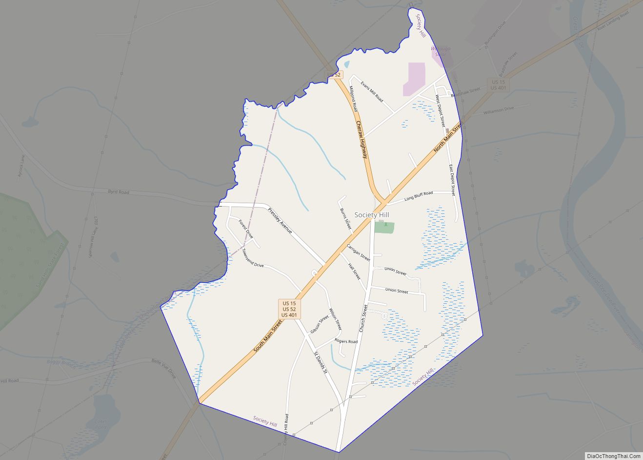
Society Hill is a town in Darlington County, South Carolina, United States alongside the Pee Dee River. It is the oldest community in Darlington County and one of the first towns founded in South Carolina. The town was once the intellectual center of the Pee Dee region. However, the town’s fortunes declined in the 19th ... Read more
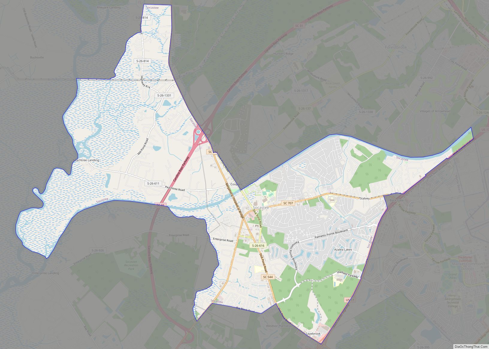
Socastee is a census-designated place (CDP) in Horry County, South Carolina, United States. The population was 19,952 at the 2010 census. Socastee CDP overview: Name: Socastee CDP LSAD Code: 57 LSAD Description: CDP (suffix) State: South Carolina County: Horry County Elevation: 16 ft (5 m) Total Area: 13.88 sq mi (35.96 km²) Land Area: 13.37 sq mi (34.62 km²) Water Area: 0.52 sq mi (1.34 km²) ... Read more
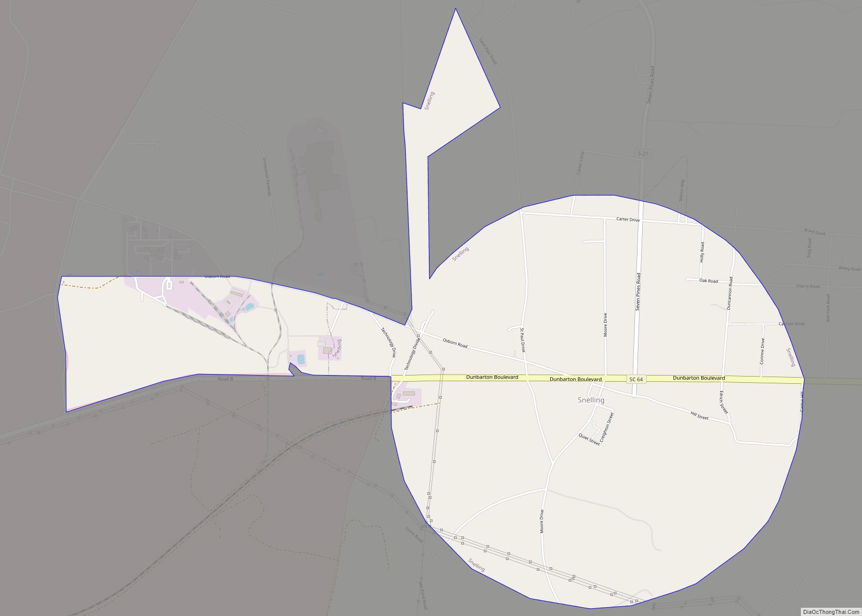
Snelling is a town in Barnwell County, South Carolina, United States. The population was 274 at the 2010 census. Snelling town overview: Name: Snelling town LSAD Code: 43 LSAD Description: town (suffix) State: South Carolina County: Barnwell County Elevation: 226 ft (69 m) Total Area: 4.08 sq mi (10.58 km²) Land Area: 4.04 sq mi (10.45 km²) Water Area: 0.05 sq mi (0.13 km²) Total Population: ... Read more
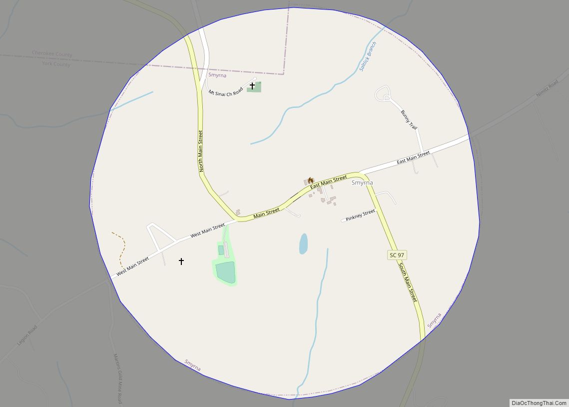
Smyrna is a small town in York and Cherokee counties in the U.S. state of South Carolina. The population was 45 at the 2010 United States Census,.. Smyrna town overview: Name: Smyrna town LSAD Code: 43 LSAD Description: town (suffix) State: South Carolina County: Cherokee County, York County Elevation: 755 ft (230 m) Total Area: 0.71 sq mi (1.83 km²) ... Read more
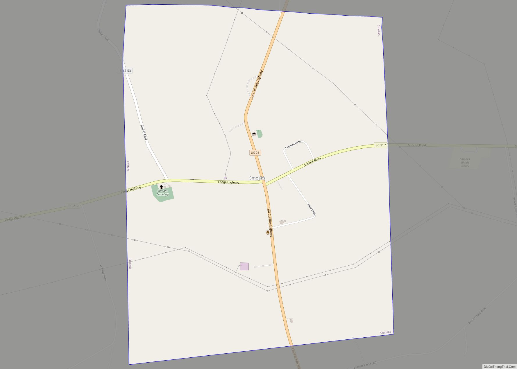
Smoaks is a town in Colleton County, South Carolina, United States. The population was 126 at the 2010 census. Smoaks town overview: Name: Smoaks town LSAD Code: 43 LSAD Description: town (suffix) State: South Carolina County: Colleton County Elevation: 105 ft (32 m) Total Area: 1.63 sq mi (4.22 km²) Land Area: 1.63 sq mi (4.22 km²) Water Area: 0.00 sq mi (0.00 km²) Total Population: ... Read more
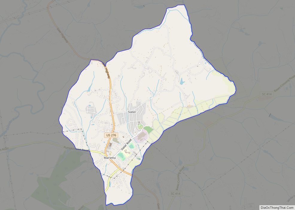
Slater-Marietta is a census-designated place (CDP) in Greenville County, South Carolina, United States, along the North Saluda River. At the 2000 census, there were 2228 people. At the 2010 census, there were 2176. At the 2020 census, there were 1873. It is part of the Greenville–Mauldin–Easley Metropolitan Statistical Area. Slater-Marietta CDP overview: Name: Slater-Marietta CDP ... Read more
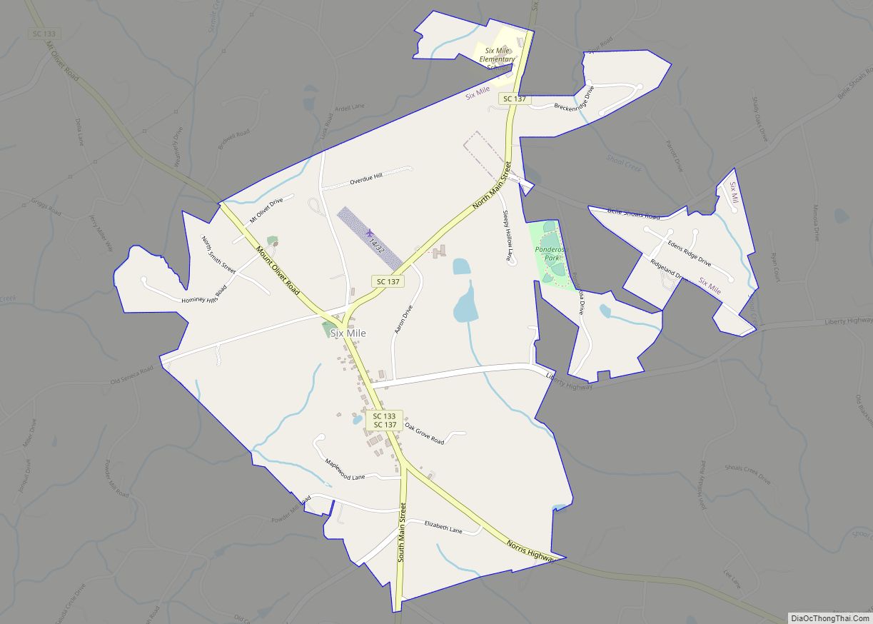
Six Mile is a town in Pickens County, South Carolina, United States. The 2010 census showed a population of 675, representing a 21% increase since 2000. The 2020 census showed a population of 678 representing a 0.30% increase since 2010. The average household income in Six Mile is $82,828 with a poverty rate at 6.54%. ... Read more
