Santee is a town in Orangeburg County along the Santee River Valley in central South Carolina, United States. It has become a resort town of note located centrally north-south along the Atlantic Seaboard of South Carolina. The region has been rural, with a primarily agricultural economy typical of Orangeburg County, but is now known primarily for its several golf courses in proximity to Lake Marion, Santee State Park and other Lake Marion attractions. Interstate 95 connects its attractions easily with tourists traveling by automobile. I-95 crosses a narrow arm of the lake into the town lands, along a causeway. Lake Marion is a man-made hydroelectric reservoir, which at 110,000 acres (450 km2, 173 sq mi) is one of the fifty largest lakes in the country.
The population was 797 at the 2020 census. The town has been undergoing economic and population growth, and development as rural niches are supplanted by bedroom communities.
Construction of the Santee Cooper Regional Water System can provide millions of gallons of potable water per day to the surrounding five counties centered about Santee. The system was coordinated by the U.S. Department of Agriculture and funded by the Army Corps of Engineers, USEPA, and the South Carolina Department of Commerce. The plant was completed and operational as of 1 June 2008. Work to connect the plant to the five counties (Berkeley, Orangeburg, Dorchester, Calhoun, and Sumter) is underway and being overseen and funded by the same parties. Currently, the RWS serves the town of Santee, with pipeline rapidly being installed to other locations. Incoming businesses from this project are projected to bring thousands of jobs to the area.
The Lake Marion High School & Technology Center is located in the town.
| Name: | Santee town |
|---|---|
| LSAD Code: | 43 |
| LSAD Description: | town (suffix) |
| State: | South Carolina |
| County: | Orangeburg County |
| Elevation: | 138 ft (42 m) |
| Total Area: | 2.44 sq mi (6.33 km²) |
| Land Area: | 2.43 sq mi (6.28 km²) |
| Water Area: | 0.02 sq mi (0.05 km²) |
| Total Population: | 797 |
| Population Density: | 328.52/sq mi (126.86/km²) |
| ZIP code: | 29142 |
| Area code: | 803, 839 |
| FIPS code: | 4563790 |
| GNISfeature ID: | 1231775 |
| Website: | townofsantee-sc.org |
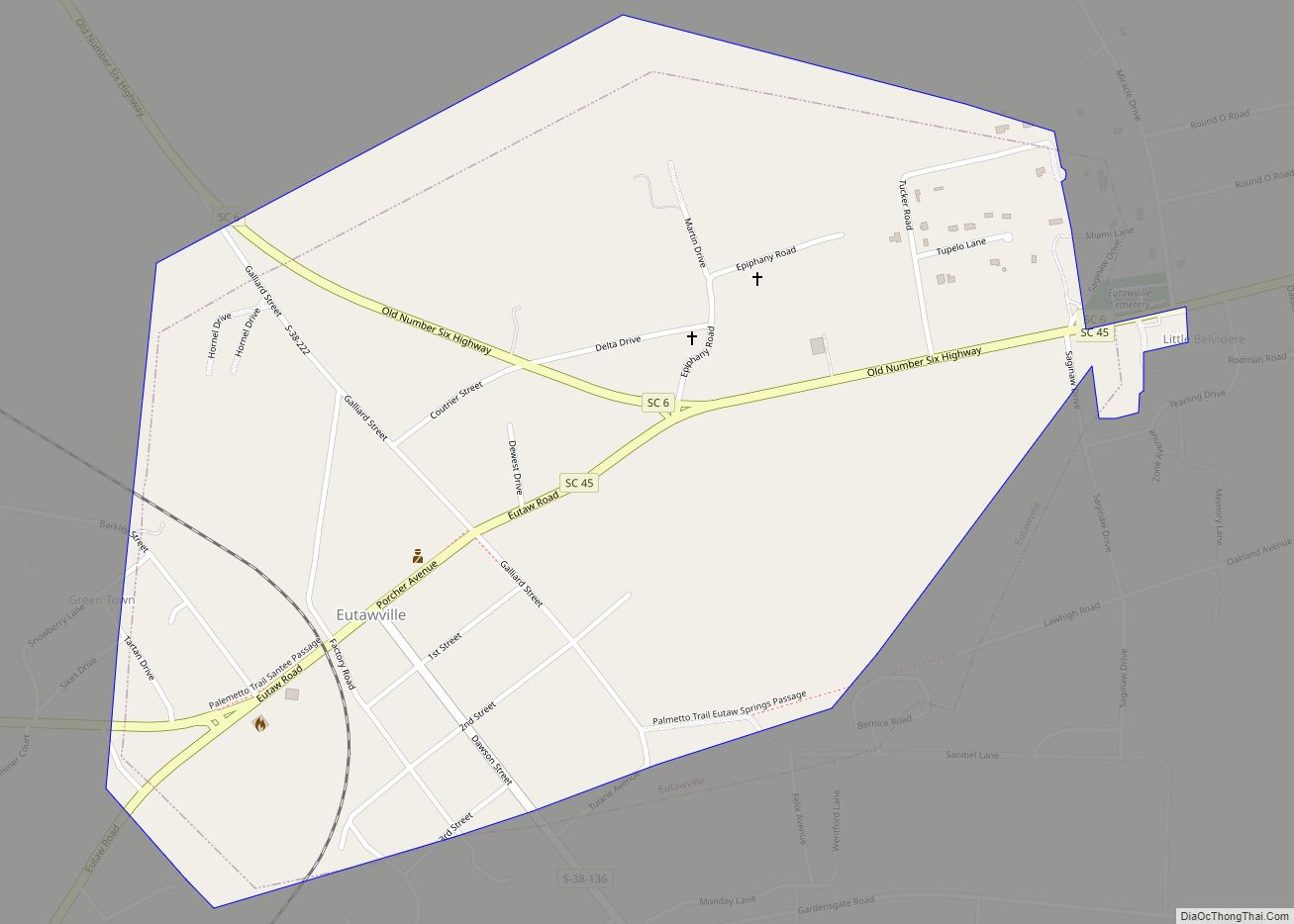
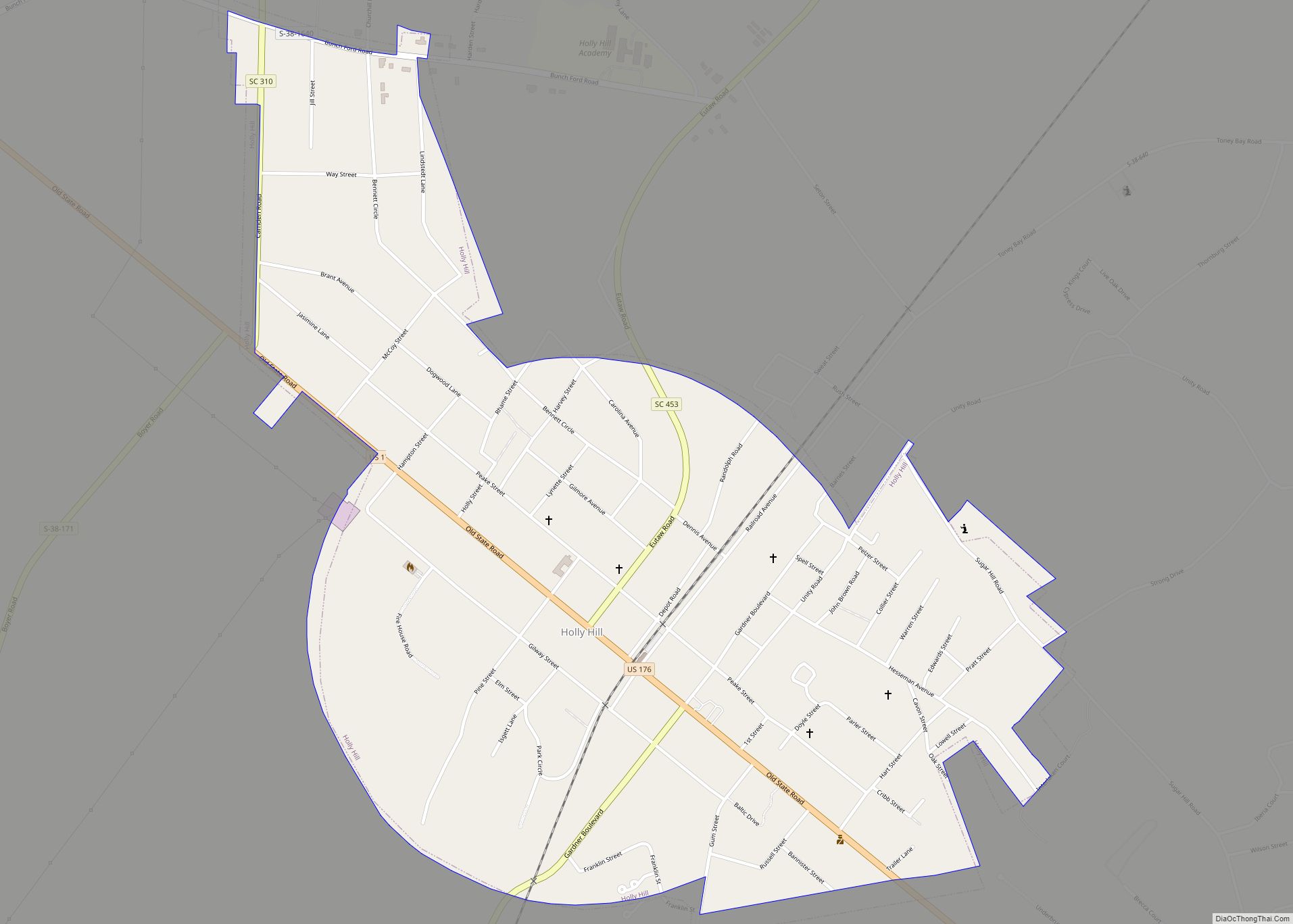
Online Interactive Map
Click on ![]() to view map in "full screen" mode.
to view map in "full screen" mode.
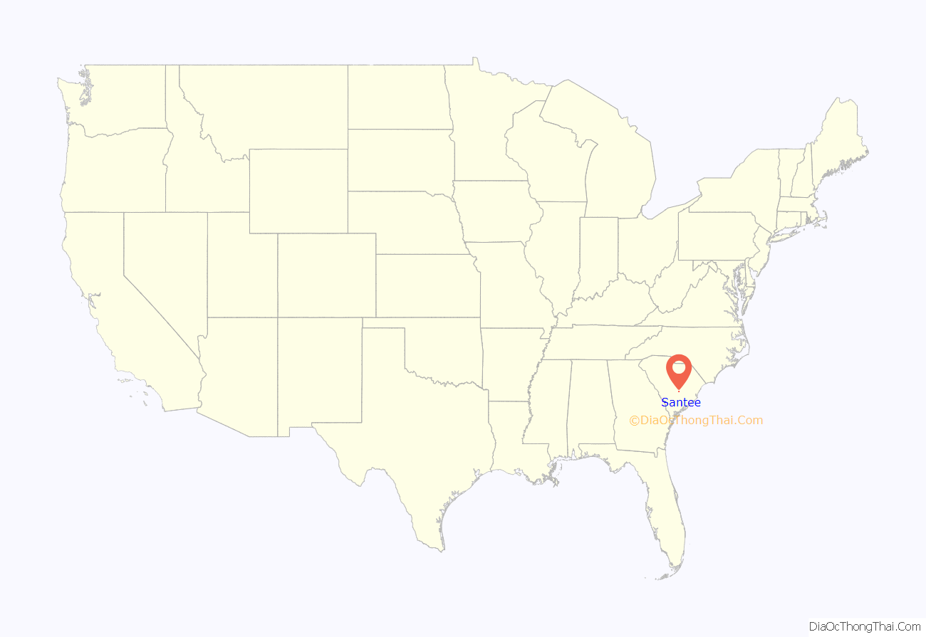
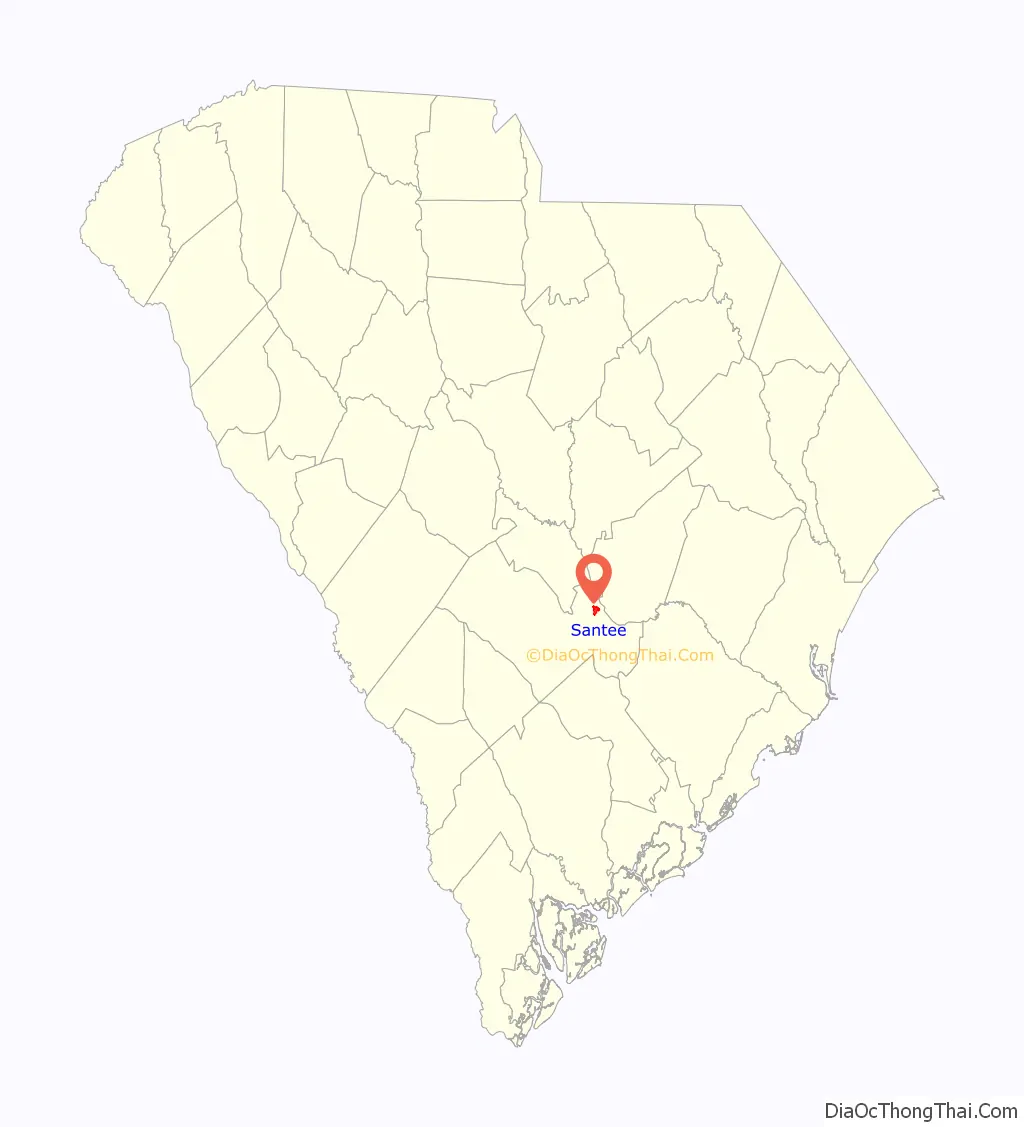
Santee location map. Where is Santee town?
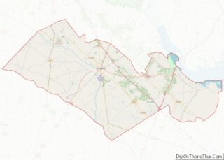
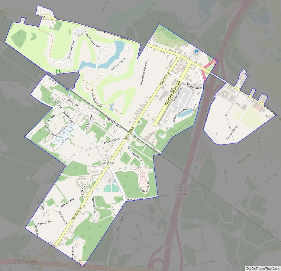
Santee Road Map
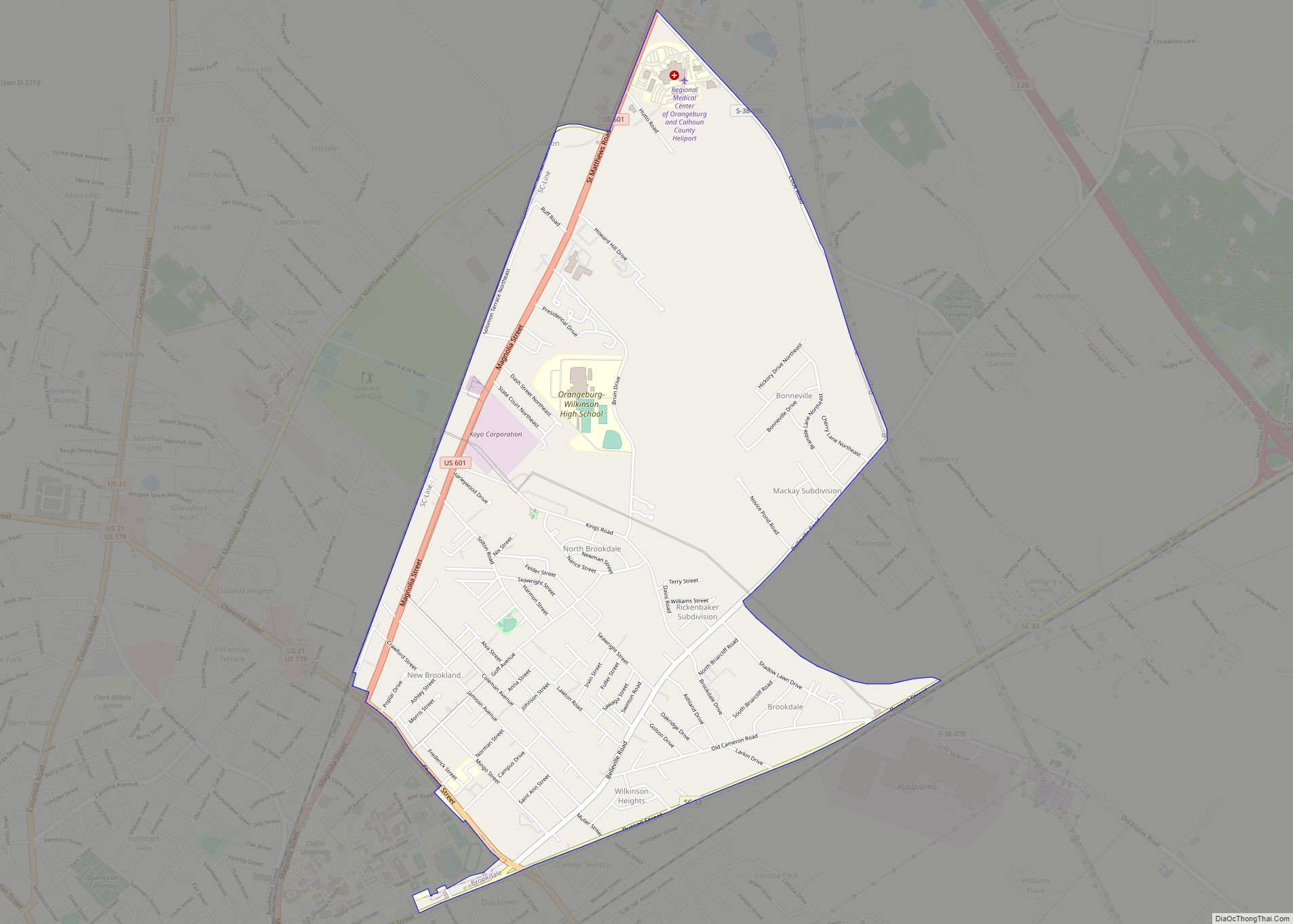
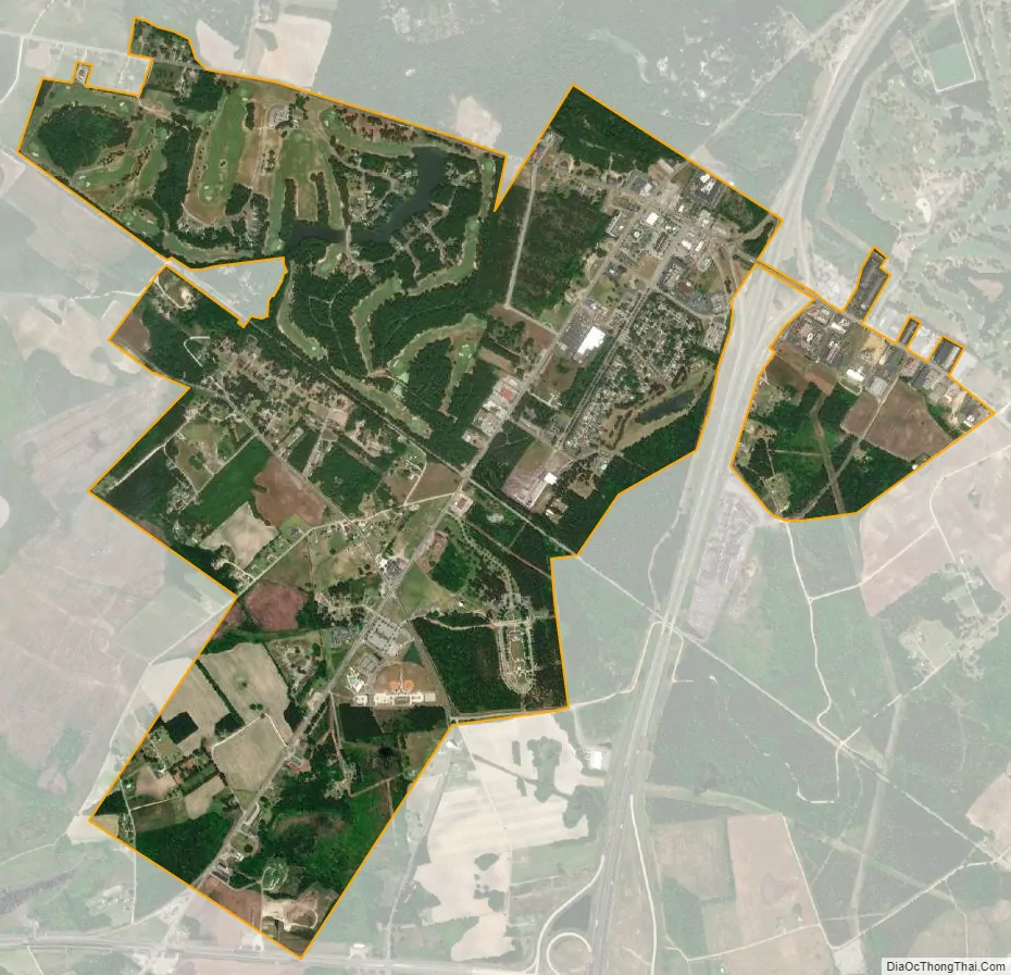
Santee city Satellite Map
Geography
Santee is located at 33°29′N 80°29′W / 33.483°N 80.483°W / 33.483; -80.483 (33.4784, -80.4846).
According to the United States Census Bureau, the town has a total area of 2.0 square miles (5.3 km), of which 2.0 square miles (5.2 km) is land and 0.49% is water.
See also
Map of South Carolina State and its subdivision:- Abbeville
- Aiken
- Allendale
- Anderson
- Bamberg
- Barnwell
- Beaufort
- Berkeley
- Calhoun
- Charleston
- Cherokee
- Chester
- Chesterfield
- Clarendon
- Colleton
- Darlington
- Dillon
- Dorchester
- Edgefield
- Fairfield
- Florence
- Georgetown
- Greenville
- Greenwood
- Hampton
- Horry
- Jasper
- Kershaw
- Lancaster
- Laurens
- Lee
- Lexington
- Marion
- Marlboro
- McCormick
- Newberry
- Oconee
- Orangeburg
- Pickens
- Richland
- Saluda
- Spartanburg
- Sumter
- Union
- Williamsburg
- York
- Alabama
- Alaska
- Arizona
- Arkansas
- California
- Colorado
- Connecticut
- Delaware
- District of Columbia
- Florida
- Georgia
- Hawaii
- Idaho
- Illinois
- Indiana
- Iowa
- Kansas
- Kentucky
- Louisiana
- Maine
- Maryland
- Massachusetts
- Michigan
- Minnesota
- Mississippi
- Missouri
- Montana
- Nebraska
- Nevada
- New Hampshire
- New Jersey
- New Mexico
- New York
- North Carolina
- North Dakota
- Ohio
- Oklahoma
- Oregon
- Pennsylvania
- Rhode Island
- South Carolina
- South Dakota
- Tennessee
- Texas
- Utah
- Vermont
- Virginia
- Washington
- West Virginia
- Wisconsin
- Wyoming