Map of Eden town, South Dakota

Map of Eden town, South Dakota

Eden is a town in Marshall County, South Dakota, United States. The population was 94 at the 2020 census. Eden was originally called Eden Park, and under the latter name was laid out in 1915. It is the home of current South Dakota State Representative and 2022 Democratic candidate for Lieutenant Governor Jennifer Healy Keintz. … Read more

Map of Eagle Butte city

Map of Eagle Butte city

Eagle Butte is a city in Dewey and Ziebach counties in South Dakota, United States. The population was 1,258 at the 2020 census. Eagle Butte city overview: Name: Eagle Butte city LSAD Code: 25 LSAD Description: city (suffix) State: South Dakota County: Dewey County, Ziebach County Incorporated: 1911 Elevation: 2,418 ft (737 m) Total Area: 1.47 sq mi (3.80 km²) … Read more

Map of Dupree city

Map of Dupree city

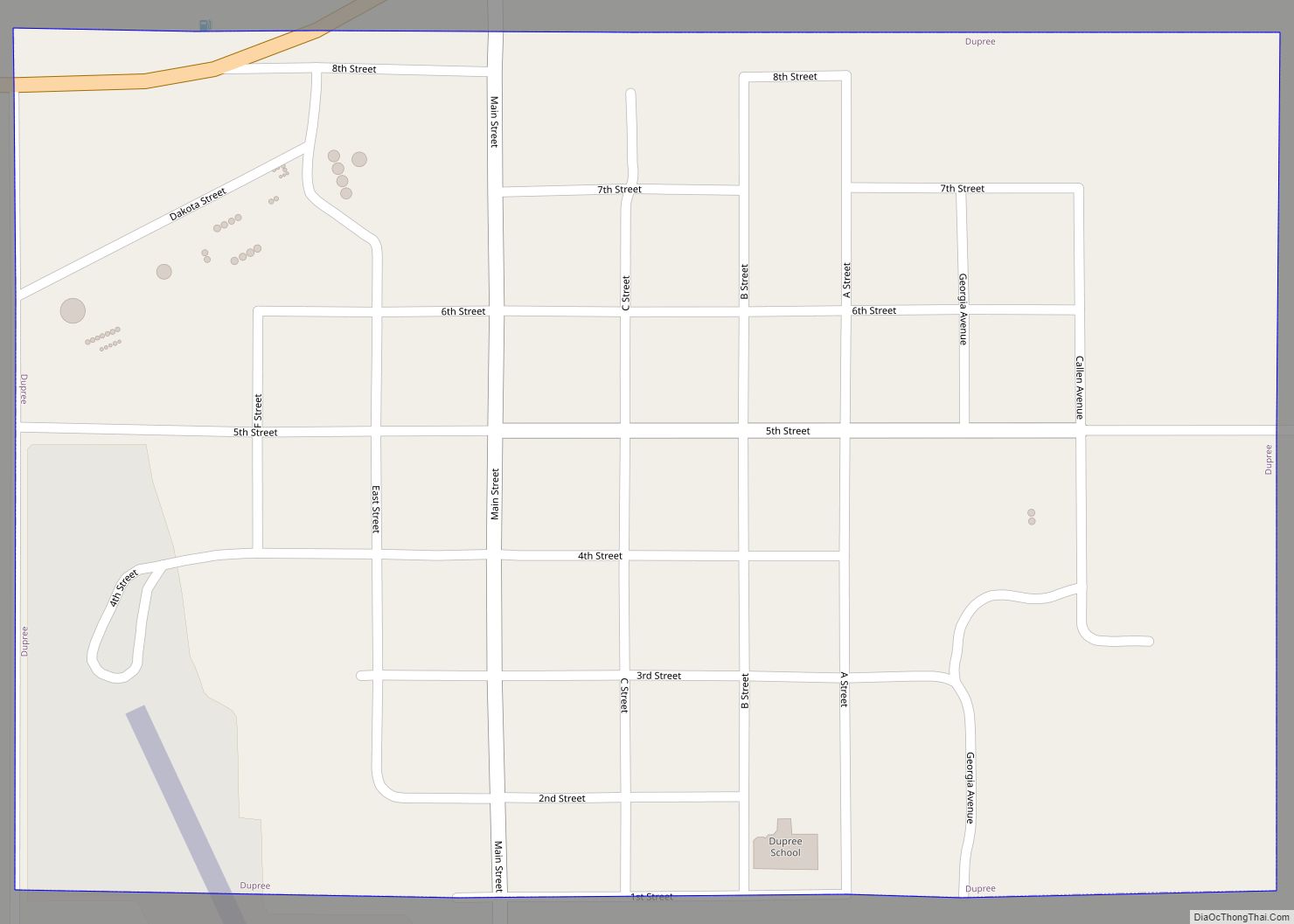
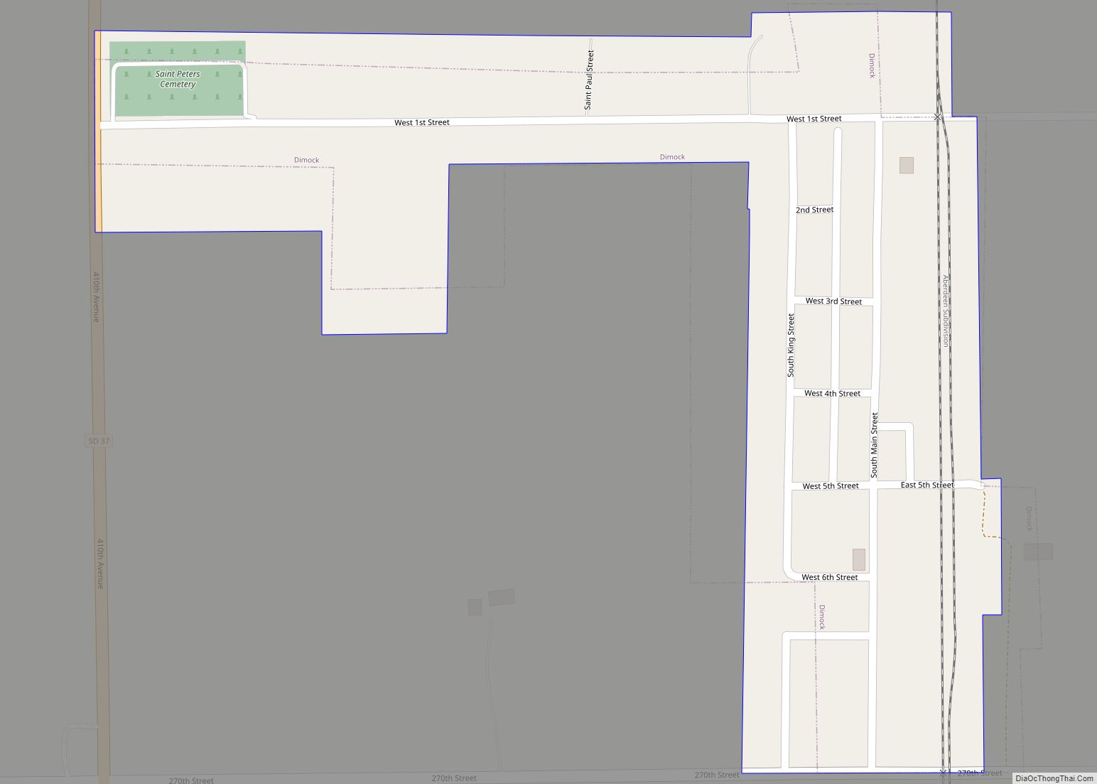
Dupree is a city in and county seat of Ziebach County, South Dakota, United States. The population was 494 at the 2020 census. It is the only incorporated community located fully within Ziebach County. Dupree city overview: Name: Dupree city LSAD Code: 25 LSAD Description: city (suffix) State: South Dakota County: Ziebach County Incorporated: 1911 … Read more

Map of Draper town

Map of Draper town, South Dakota

Draper is a town in Jones County, South Dakota, United States. The population was 46 at the 2020 census. Draper was laid out in 1906, and named in honor of C. A. Draper, a railroad official. Draper town overview: Name: Draper town LSAD Code: 43 LSAD Description: town (suffix) State: South Dakota County: Jones County … Read more

Map of Dolton town, South Dakota

Map of Dolton town, South Dakota

Dolton is a town in Turner County, South Dakota, United States. The population was 34 at the 2020 census. Dolton town overview: Name: Dolton town LSAD Code: 43 LSAD Description: town (suffix) State: South Dakota County: Turner County Incorporated: 1909 Elevation: 1,447 ft (441 m) Total Area: 0.26 sq mi (0.66 km²) Land Area: 0.26 sq mi (0.66 km²) Water Area: 0.00 sq mi (0.00 km²) … Read more

Map of Doland city

Map of Doland city

Doland is a city in eastern Spink County, South Dakota, United States. The population was 199 at the 2020 census. Doland city overview: Name: Doland city LSAD Code: 25 LSAD Description: city (suffix) State: South Dakota County: Spink County Incorporated: 1909 Elevation: 1,352 ft (412 m) Total Area: 0.59 sq mi (1.52 km²) Land Area: 0.59 sq mi (1.52 km²) Water Area: 0.00 sq mi … Read more

Map of Dimock town

Map of Dimock town

Dimock is a town in Hutchinson County, South Dakota, United States. The population was 137 at the 2020 census. The first farmer settlers, a group of Wisconsin Germans, arrived in 1879. Dimock was laid out in 1910, and named for a railroad surveyor. The town’s ornate Saints Peter and Paul Catholic Church was built in … Read more

Map of Elkton city, South Dakota

Map of Elkton city, South Dakota

Elkton is a city in Brookings County, South Dakota, United States. The population was 755 at the 2020 census. Some of Elkton’s population also have Minnesota addresses since the city is located so close to the state line. Elkton city overview: Name: Elkton city LSAD Code: 25 LSAD Description: city (suffix) State: South Dakota County: … Read more

Map of Faith city, South Dakota

Map of Faith city, South Dakota

Faith is a city in the northeastern corner of Meade County, South Dakota, United States. The population was 367 at the 2020 census. The most complete Tyrannosaurus rex skeleton known, Sue, was discovered approximately 15 miles northeast of Faith in August 1990. Faith city overview: Name: Faith city LSAD Code: 25 LSAD Description: city (suffix) State: … Read more

Map of Fairview town, South Dakota

Map of Fairview town, South Dakota

Fairview is a town in Lincoln County, South Dakota, United States. The population was 61 at the 2020 census. Fairview was laid out in 1886, and named for the scenic valley setting of the site. Fairview town overview: Name: Fairview town LSAD Code: 43 LSAD Description: town (suffix) State: South Dakota County: Lincoln County Founded: … Read more

Map of Fairfax town, South Dakota

Map of Fairfax town, South Dakota

Fairfax is a town in southeastern Gregory County, South Dakota, United States. The population was 96 at the 2020 census. Fairfax town overview: Name: Fairfax town LSAD Code: 43 LSAD Description: town (suffix) State: South Dakota County: Gregory County Elevation: 1,949 ft (594 m) Total Area: 0.30 sq mi (0.78 km²) Land Area: 0.30 sq mi (0.78 km²) Water Area: 0.00 sq mi (0.00 km²) Total … Read more

Map of Fairburn town, South Dakota

Map of Fairburn town, South Dakota

Fairburn (/ˈfɛərbɜːrn/) is a town in Custer County, South Dakota, United States. The population was 60 at the 2020 census. Fairburn town overview: Name: Fairburn town LSAD Code: 43 LSAD Description: town (suffix) State: South Dakota County: Custer County Incorporated: 1919 Elevation: 3,301 ft (1,006 m) Total Area: 0.33 sq mi (0.85 km²) Land Area: 0.33 sq mi (0.85 km²) Water Area: 0.00 sq mi … Read more