Dupree is a city in and county seat of Ziebach County, South Dakota, United States. The population was 494 at the 2020 census. It is the only incorporated community located fully within Ziebach County.
| Name: | Dupree city |
|---|---|
| LSAD Code: | 25 |
| LSAD Description: | city (suffix) |
| State: | South Dakota |
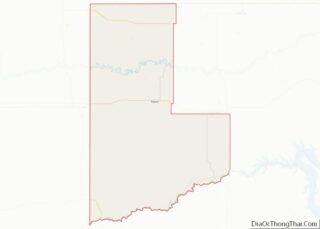
| County: | Ziebach County |
| Incorporated: | 1911 |
| Elevation: | 2,392 ft (729 m) |
| Total Area: | 0.39 sq mi (1.02 km²) |
| Land Area: | 0.39 sq mi (1.02 km²) |
| Water Area: | 0.00 sq mi (0.00 km²) |
| Total Population: | 494 |
| Population Density: | 1,260.20/sq mi (486.67/km²) |
| ZIP code: | 57623 |
| Area code: | 605 |
| FIPS code: | 4617420 |
| GNISfeature ID: | 1265751 |
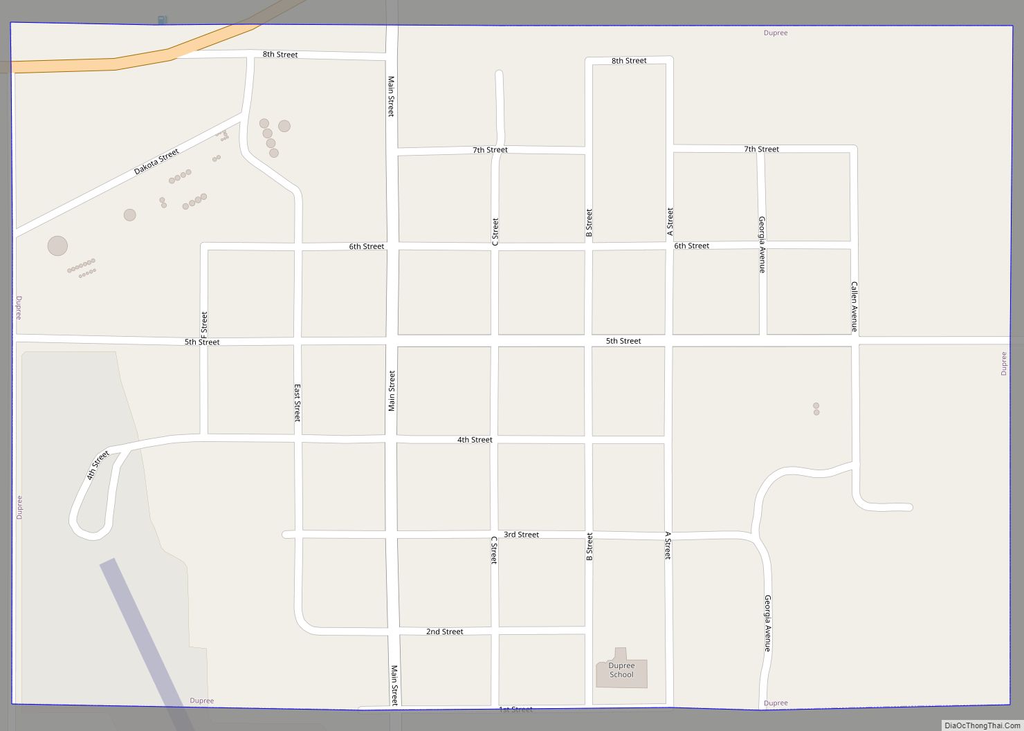
Online Interactive Map
Click on ![]() to view map in "full screen" mode.
to view map in "full screen" mode.
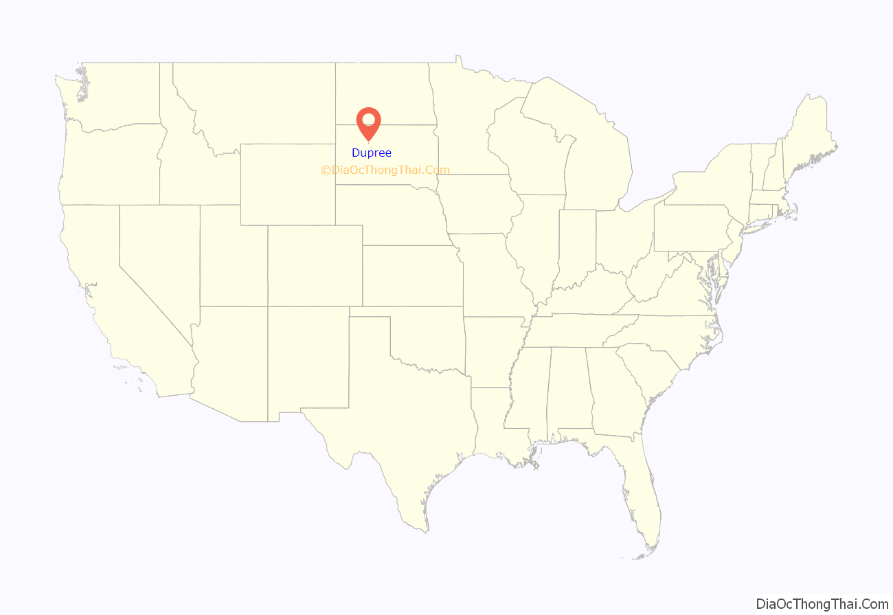
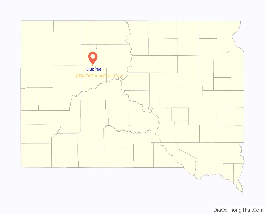
Dupree location map. Where is Dupree city?
History
Dupree got its start in 1910, following construction of the Milwaukee Railroad through the territory. The city derives its name from Fred Dupris, a pioneer settler.
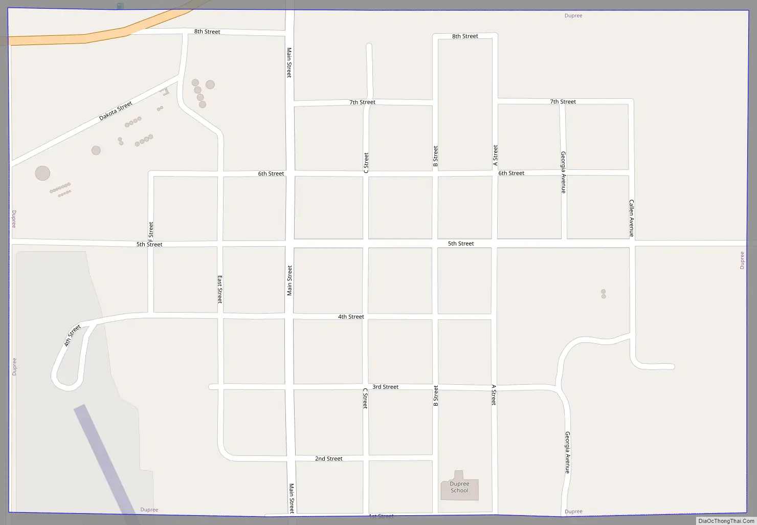
Dupree Road Map
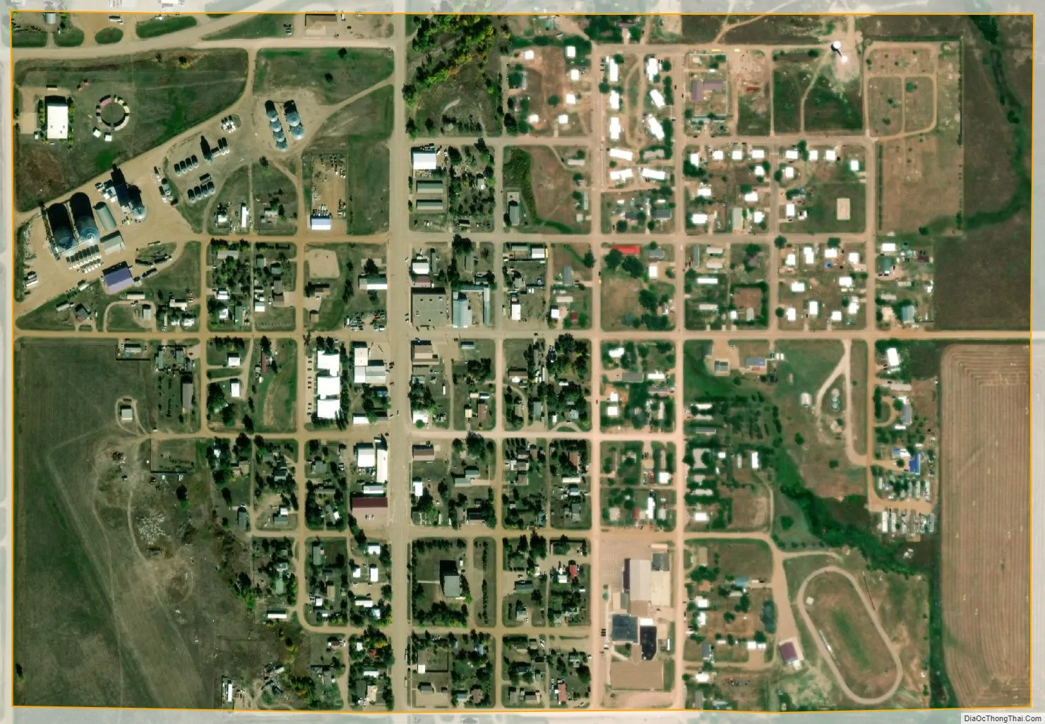
Dupree city Satellite Map
Geography
Dupree is located at 45°3′0″N 101°36′4″W / 45.05000°N 101.60111°W / 45.05000; -101.60111 (45.050110, -101.601052).
According to the United States Census Bureau, the city has a total area of 0.39 square miles (1.01 km), all land.
Dupree has been assigned the ZIP code 57623 and the FIPS place code 17420.
Climate
See also
Map of South Dakota State and its subdivision:- Aurora
- Beadle
- Bennett
- Bon Homme
- Brookings
- Brown
- Brule
- Buffalo
- Butte
- Campbell
- Charles Mix
- Clark
- Clay
- Codington
- Corson
- Custer
- Davison
- Day
- Deuel
- Dewey
- Douglas
- Edmunds
- Fall River
- Faulk
- Grant
- Gregory
- Haakon
- Hamlin
- Hand
- Hanson
- Harding
- Hughes
- Hutchinson
- Hyde
- Jackson
- Jerauld
- Jones
- Kingsbury
- Lake
- Lawrence
- Lincoln
- Lyman
- Marshall
- McCook
- McPherson
- Meade
- Mellette
- Miner
- Minnehaha
- Moody
- Pennington
- Perkins
- Potter
- Roberts
- Sanborn
- Shannon
- Spink
- Stanley
- Sully
- Todd
- Tripp
- Turner
- Union
- Walworth
- Yankton
- Ziebach
- Alabama
- Alaska
- Arizona
- Arkansas
- California
- Colorado
- Connecticut
- Delaware
- District of Columbia
- Florida
- Georgia
- Hawaii
- Idaho
- Illinois
- Indiana
- Iowa
- Kansas
- Kentucky
- Louisiana
- Maine
- Maryland
- Massachusetts
- Michigan
- Minnesota
- Mississippi
- Missouri
- Montana
- Nebraska
- Nevada
- New Hampshire
- New Jersey
- New Mexico
- New York
- North Carolina
- North Dakota
- Ohio
- Oklahoma
- Oregon
- Pennsylvania
- Rhode Island
- South Carolina
- South Dakota
- Tennessee
- Texas
- Utah
- Vermont
- Virginia
- Washington
- West Virginia
- Wisconsin
- Wyoming