Map of Fairburn town, South Dakota

Map of Fairburn town, South Dakota

Fairburn (/ˈfɛərbɜːrn/) is a town in Custer County, South Dakota, United States. The population was 60 at the 2020 census. Fairburn town overview: Name: Fairburn town LSAD Code: 43 LSAD Description: town (suffix) State: South Dakota County: Custer County Incorporated: 1919 Elevation: 3,301 ft (1,006 m) Total Area: 0.33 sq mi (0.85 km²) Land Area: 0.33 sq mi (0.85 km²) Water Area: 0.00 sq mi … Read more

Map of Eureka city, South Dakota

Map of Eureka city, South Dakota

Eureka is a city in western McPherson County, South Dakota, United States, near the North Dakota state line. The population was 813 at the 2020 census. Eureka city overview: Name: Eureka city LSAD Code: 25 LSAD Description: city (suffix) State: South Dakota County: McPherson County Incorporated: 1892 Elevation: 1,890 ft (576 m) Total Area: 1.00 sq mi (2.59 km²) Land … Read more

Map of Ethan town

Map of Ethan town

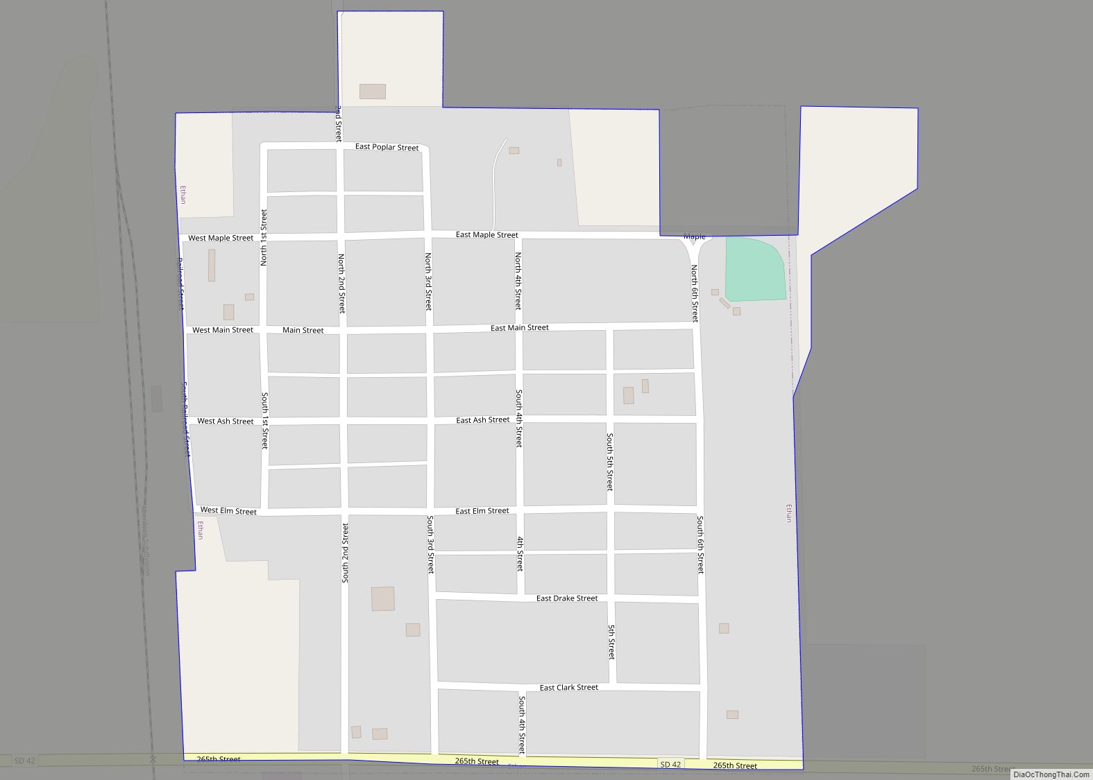
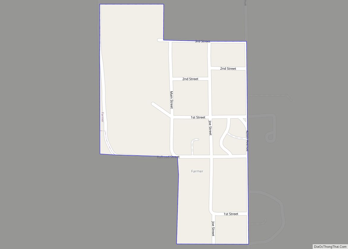
Ethan is a town in Davison County, South Dakota, United States. It is part of the Mitchell, South Dakota Micropolitan Statistical Area. The population was 365 at the 2020 census. Ethan is located 10 miles south of Mitchell. Ethan town overview: Name: Ethan town LSAD Code: 43 LSAD Description: town (suffix) State: South Dakota County: … Read more

Map of Estelline city

Map of Estelline city, South Dakota

Estelline is a city in Hamlin County, South Dakota, United States. It is part of the Watertown, South Dakota Micropolitan Statistical Area. The population was 749 at the 2020 census. The current mascot for Estelline High School is the Redhawks. Estelline city overview: Name: Estelline city LSAD Code: 25 LSAD Description: city (suffix) State: South … Read more

Map of Erwin town, South Dakota

Map of Erwin town, South Dakota

Erwin is a town in Kingsbury County, South Dakota, United States. The population was 45 at the 2010 census. Erwin town overview: Name: Erwin town LSAD Code: 43 LSAD Description: town (suffix) State: South Dakota County: Kingsbury County Elevation: 1,873 ft (571 m) Total Area: 0.48 sq mi (1.23 km²) Land Area: 0.48 sq mi (1.23 km²) Water Area: 0.00 sq mi (0.00 km²) Total Population: … Read more

Map of Fort Pierre city

Map of Fort Pierre city

Fort Pierre is a city in Stanley County, South Dakota, United States. It is part of the Pierre, South Dakota micropolitan area and the county seat of Stanley County. The population was 2,115 at the 2020 census. The settlement of Fort Pierre developed around an 1832 trading post and fort situated on the west bank … Read more

Map of Forestburg CDP

Map of Forestburg CDP

Forestburg is an unincorporated town and census-designated place in Sanborn County, South Dakota, United States. The population was 54 at the 2020 census. The community was named for a tract of forest near the original town site. Forestburg CDP overview: Name: Forestburg CDP LSAD Code: 57 LSAD Description: CDP (suffix) State: South Dakota County: Sanborn … Read more

Map of Florence town, South Dakota

Map of Florence town, South Dakota

Florence is a town in northwestern Codington County, South Dakota, United States. It is part of the Watertown, South Dakota Micropolitan Statistical Area. The population was 337 at the 2020 census. Florence was named for a lady acquaintance of a railroad employee. Florence town overview: Name: Florence town LSAD Code: 43 LSAD Description: town (suffix) … Read more

Map of Flandreau city

Map of Flandreau city

Flandreau /ˈflændruː/ FLAN-droo is a city in and county seat of Moody County, South Dakota, United States. The population was 2,372 at the 2020 census. It was named in honor of Charles Eugene Flandrau, a judge in the territory and state of Minnesota. He is credited with saving the community of New Ulm, Minnesota, from … Read more

Map of Ferney CDP

Map of Ferney CDP

Ferney is an unincorporated community and census-designated place in Brown County, South Dakota, United States. As of the 2020 census it had a population of 42. Ferney has been assigned the ZIP code of 57439. Ferney CDP overview: Name: Ferney CDP LSAD Code: 57 LSAD Description: CDP (suffix) State: South Dakota County: Brown County Elevation: … Read more

Map of Fedora CDP

Map of Fedora CDP

Fedora is an unincorporated community in Miner County, South Dakota, United States, founded in 1881. The Census Bureau began tracking Fedora as a CDP in 2010. Fedora has been assigned the ZIP code of 57337. The population of the CDP was 26 at the 2020 census. The town of Fedora was originally platted in 1881. … Read more

Map of Faulkton city

Map of Faulkton city

Faulkton is a city in and county seat of Faulk County, South Dakota, United States. The population was 826 at the 2020 census. The city’s nickname is “The Carousel City”. Faulkton city overview: Name: Faulkton city LSAD Code: 25 LSAD Description: city (suffix) State: South Dakota County: Faulk County Elevation: 1,581 ft (482 m) Total Area: 1.01 sq mi … Read more