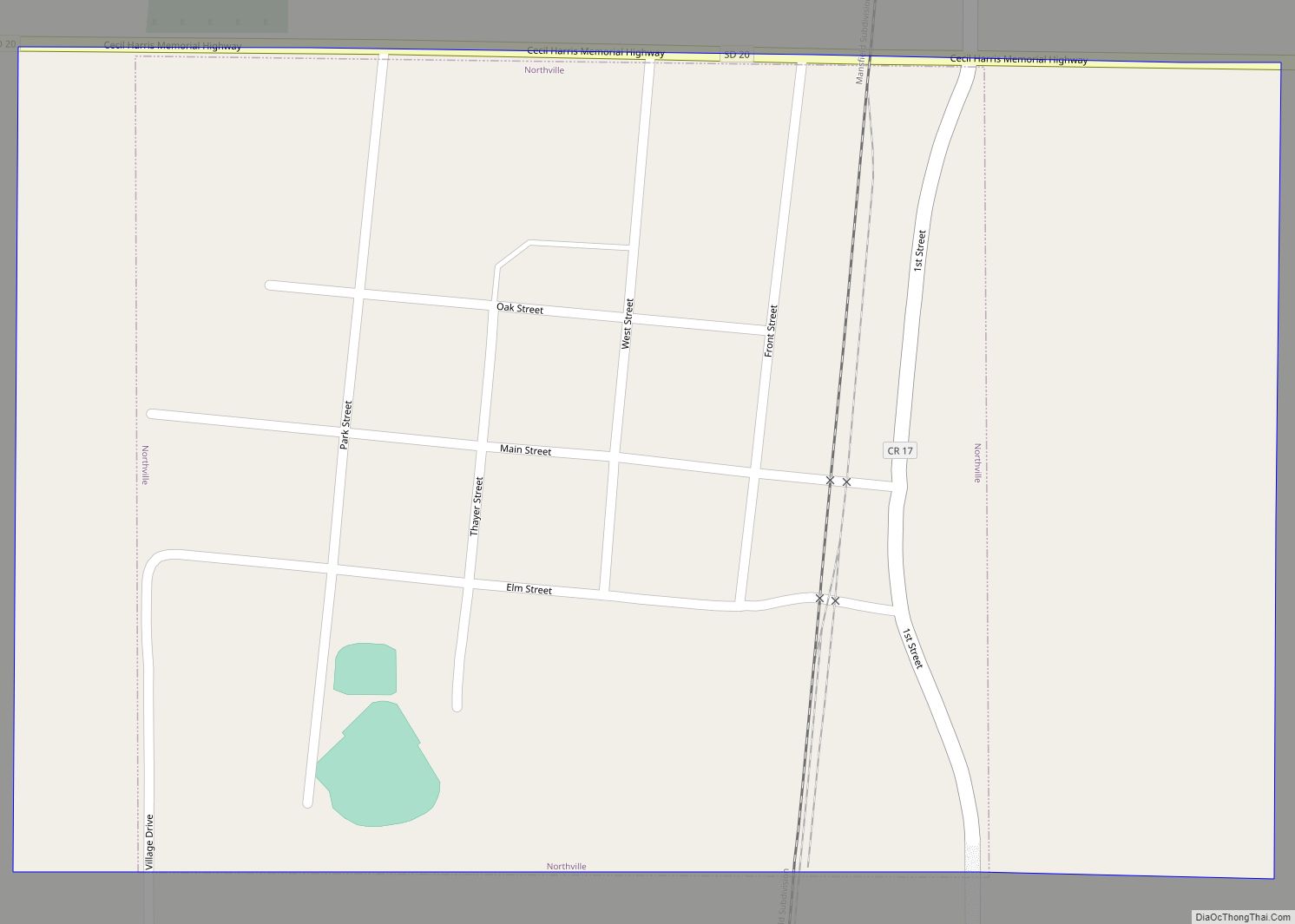
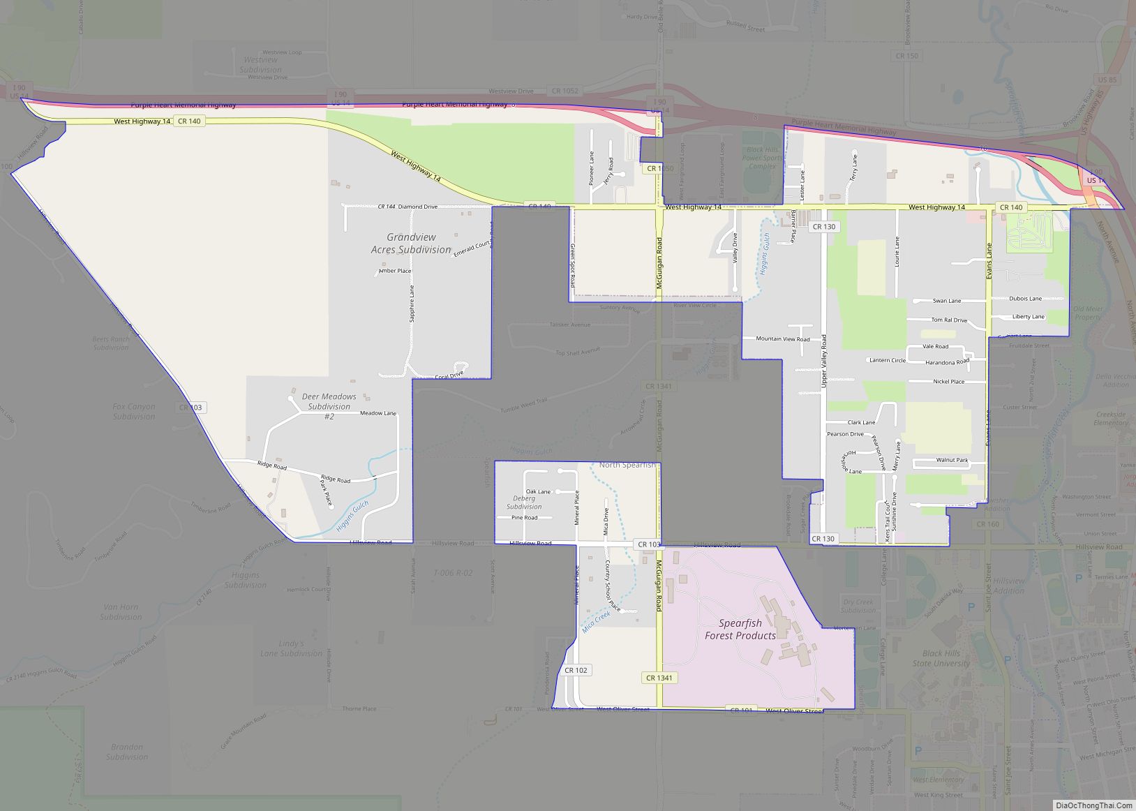
Map of New Effington town

Map of New Effington town

New Effington is a town in Roberts County, South Dakota, United States. The population was 234 at the 2020 census. New Effington was laid out in 1913, after a proposed railroad further away from the original city Effington spurred the need to move the town. Needing a new name they simply added “New”, the original … Read more

Map of Naples town, South Dakota

Map of Naples town, South Dakota

Naples is a town in Clark County, South Dakota, United States. The population was 38 at the 2020 census. The town takes its name from Naples, Italy. Naples town overview: Name: Naples town LSAD Code: 43 LSAD Description: town (suffix) State: South Dakota County: Clark County Incorporated: 1924 Elevation: 1,785 ft (544 m) Total Area: 0.14 sq mi (0.36 km²) … Read more

Map of Murdo city

Map of Murdo city

Murdo is a city in and county seat of Jones County, South Dakota, United States. The population was 475 at the 2020 census. Murdo city overview: Name: Murdo city LSAD Code: 25 LSAD Description: city (suffix) State: South Dakota County: Jones County Incorporated: 1908 Elevation: 2,313 ft (705 m) Total Area: 0.63 sq mi (1.63 km²) Land Area: 0.63 sq mi (1.63 km²) … Read more

Map of Oelrichs town

Map of Oelrichs town

Oelrichs (Lakota: šuŋkpȟáwaksa; “Severed Horse Head”) is a town in Fall River County, South Dakota, United States. The population was 117 at the 2020 census. Oelrichs town overview: Name: Oelrichs town LSAD Code: 43 LSAD Description: town (suffix) State: South Dakota County: Fall River County Incorporated: 1910 Elevation: 3,356 ft (1,023 m) Total Area: 0.36 sq mi (0.95 km²) Land … Read more

Map of Oacoma town

Map of Oacoma town

Oacoma is a town in Lyman County, South Dakota, United States. The population was 386 at the 2020 census. Oacoma is located on the west bank of the Missouri River, across from Chamberlain. Oacoma town overview: Name: Oacoma town LSAD Code: 43 LSAD Description: town (suffix) State: South Dakota County: Lyman County Founded: 1890 Elevation: … Read more

Map of Nunda town, South Dakota

Map of Nunda town, South Dakota

Nunda is a village in Lake County, South Dakota, United States. The population was 46 at the 2020 census. Located there are a post office, grainery, bar and grill, and an American Legion post. Nunda town overview: Name: Nunda town LSAD Code: 43 LSAD Description: town (suffix) State: South Dakota County: Lake County Elevation: 1,762 ft … Read more

Map of Northville town, South Dakota

Map of Northville town, South Dakota

Northville is a town in Spink County, South Dakota, United States. The population was 139 at the 2020 census. Northville town overview: Name: Northville town LSAD Code: 43 LSAD Description: town (suffix) State: South Dakota County: Spink County Incorporated: 1909 Elevation: 1,296 ft (395 m) Total Area: 0.38 sq mi (0.97 km²) Land Area: 0.38 sq mi (0.97 km²) Water Area: 0.00 sq mi (0.00 km²) … Read more

Map of North Spearfish CDP

Map of North Spearfish CDP

North Spearfish is a census-designated place (CDP) in Lawrence County, South Dakota, United States. The population was 2,366 at the 2020 census. North Spearfish CDP overview: Name: North Spearfish CDP LSAD Code: 57 LSAD Description: CDP (suffix) State: South Dakota County: Lawrence County Elevation: 3,645 ft (1,111 m) Total Area: 4.28 sq mi (11.10 km²) Land Area: 4.28 sq mi (11.10 km²) Water … Read more

Map of North Sioux City city

Map of North Sioux City

North Sioux City is a city in Union County, South Dakota, United States. The population was 3,042 at the 2020 census. It is part of the Sioux City, IA–NE-SD Metropolitan Statistical Area. North Sioux City city overview: Name: North Sioux City city LSAD Code: 25 LSAD Description: city (suffix) State: South Dakota County: Union County … Read more

Map of Ola CDP, South Dakota

Map of Ola CDP, South Dakota

Ola is an unincorporated community and census-designated place in Brule County, South Dakota, United States. The population was 15 according to the 2020 census. The CDP is located in southern Brule County, 2 miles (3 km) west of South Dakota Highway 50 and 12 miles (19 km) south of Interstate 90. Ola CDP overview: Name: Ola CDP … Read more

Map of Okreek CDP

Map of Okreek CDP

Okreek is an unincorporated community in Todd County, South Dakota, United States. As of the 2020 Census, the population was 190. The town is wholly within the jurisdiction of the Rosebud Indian Reservation, and the populace is almost entirely Sioux-American. Okreek consists primarily of two long blocks of inhabited tract housing, and has about 30 … Read more

Map of Okaton CDP

Map of Okaton CDP

Okaton is a hamlet in Jones County, South Dakota, United States. As of the 2020 census, the population was 31. There are no services or businesses there; Okaton had last been the location of an old-west town exhibit, but it closed when the owner(s) died. Okaton CDP overview: Name: Okaton CDP LSAD Code: 57 LSAD … Read more