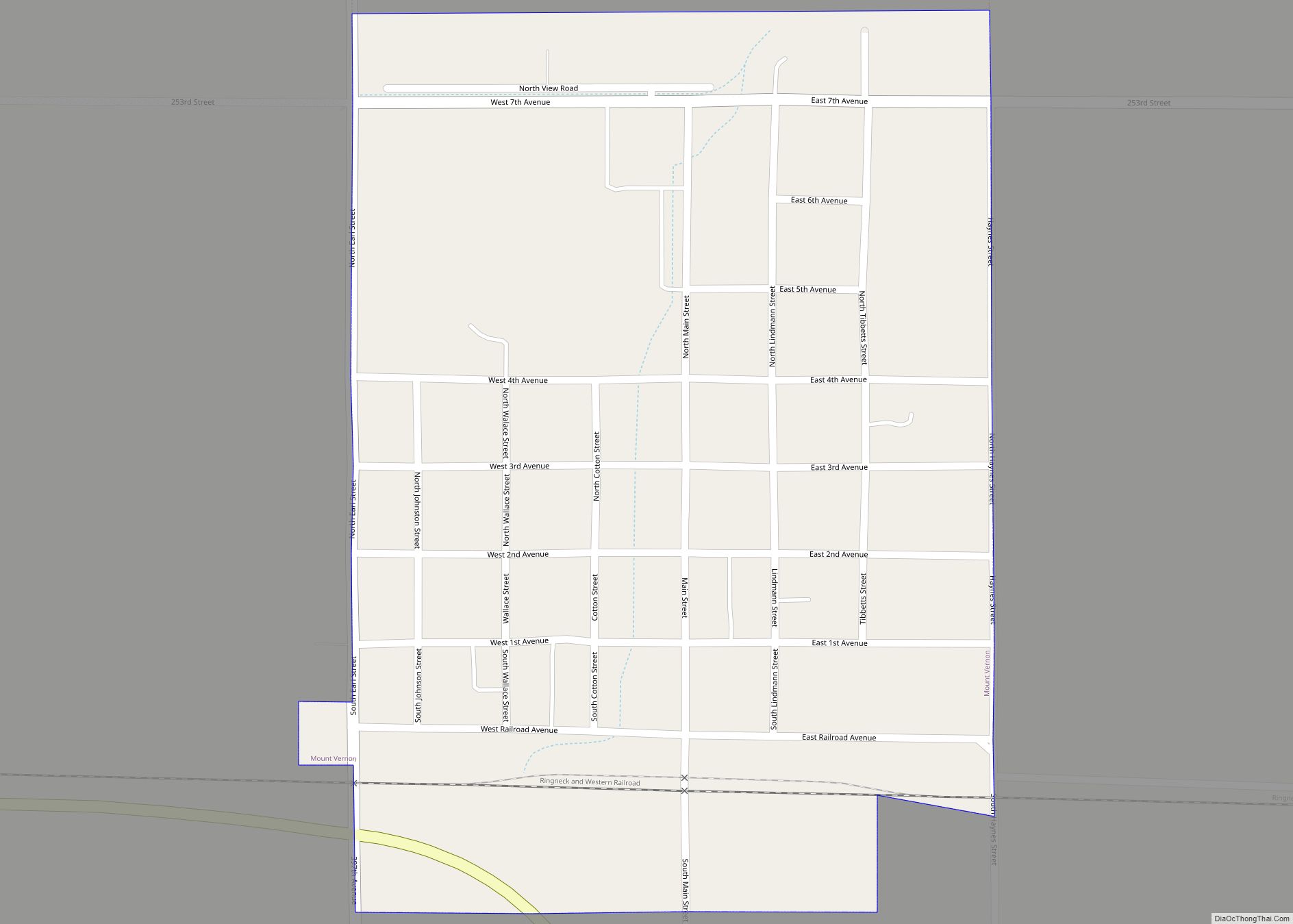
Map of Monroe town, South Dakota
Monroe is a town in Turner County, South Dakota, United States. The population was 159 at the 2020 census. Monroe town overview: Name: Monroe town LSAD Code: 43 LSAD Description: town (suffix) State: South Dakota County: Turner County Incorporated: 1901 Elevation: 1,493 ft (455 m) Total Area: 0.38 sq mi (0.98 km²) Land Area: 0.38 sq mi (0.98 km²) Water Area: 0.00 sq mi (0.00 km²) ... Read more
Map of Monroe town, South Dakota
Map of Mobridge city
Mobridge also Kȟowákataŋ Otȟúŋwahe (Lakota: Kȟowákataŋ Otȟúŋwahe; lit. “Over-the-River Town”) is a city in Walworth County, South Dakota, United States. The population was 3,261 according to the 2020 census. Mobridge city overview: Name: Mobridge city LSAD Code: 25 LSAD Description: city (suffix) State: South Dakota County: Walworth County Founded: 1906 Elevation: 1,660 ft (506 m) Total Area: ... Read more
Map of Mobridge city
Map of Mitchell city, South Dakota
Mitchell is a city in and the county seat of Davison County, South Dakota, United States. The population was 15,660 at the 2020 census making it the sixth most populous city in South Dakota. Mitchell is the principal city of the Mitchell Micropolitan Statistical Area, which includes all of Davison and Hanson counties. Mitchell city ... Read more
Map of Mitchell city, South Dakota
Map of Mission city, South Dakota
Mission is a city on the Rosebud Indian Reservation in northern Todd County, South Dakota, United States. The population was 1,156 at the 2020 census. Mission is home of the Sinte Gleska University. It is the largest incorporated community in the county, but is smaller than the unincorporated community of Rosebud, the capital of the ... Read more
Map of Mission city, South Dakota
Map of Mission Hill town
Mission Hill is a town in Yankton County, South Dakota, United States. The population was 190 at the 2020 census. Mission Hill town overview: Name: Mission Hill town LSAD Code: 43 LSAD Description: town (suffix) State: South Dakota County: Yankton County Incorporated: 1913 Elevation: 1,198 ft (365 m) Total Area: 0.33 sq mi (0.85 km²) Land Area: 0.33 sq mi (0.85 km²) Water ... Read more
Map of Mission Hill town
Map of New Witten town
New Witten is a town in Tripp County, South Dakota, United States. The population was 54 at the 2020 census. “New Witten” is the name used by the United States Census Bureau to describe this town. However, the United States Post Office maintains an associate office in the town, and uses the name “Witten”. Witten ... Read more
Map of New Witten town
Map of New Underwood city
New Underwood (Lakota: wóȟešma tȟéča; “new undergrowth”) is a city in Pennington County, South Dakota, United States. The population was 590 at the 2020 Census. New Underwood got its start circa 1906. The city was named for John Underwood, a cattleman. Until 2017, it was home to the world’s smallest biker bar, which is now ... Read more
Map of New Underwood city
Map of New Holland CDP, South Dakota
New Holland is a census-designated place (CDP) in Douglas County, South Dakota, United States. The population was 77 at the 2020 census. A large share of the early settlers being natives of Holland caused the name to be selected. New Holland CDP overview: Name: New Holland CDP LSAD Code: 57 LSAD Description: CDP (suffix) State: ... Read more
Map of New Holland CDP, South Dakota
Map of New Effington town
New Effington is a town in Roberts County, South Dakota, United States. The population was 234 at the 2020 census. New Effington was laid out in 1913, after a proposed railroad further away from the original city Effington spurred the need to move the town. Needing a new name they simply added “New”, the original ... Read more
Map of New Effington town
Map of Naples town, South Dakota
Naples is a town in Clark County, South Dakota, United States. The population was 38 at the 2020 census. The town takes its name from Naples, Italy. Naples town overview: Name: Naples town LSAD Code: 43 LSAD Description: town (suffix) State: South Dakota County: Clark County Incorporated: 1924 Elevation: 1,785 ft (544 m) Total Area: 0.14 sq mi (0.36 km²) ... Read more
Map of Naples town, South Dakota
Map of Murdo city
Murdo is a city in and county seat of Jones County, South Dakota, United States. The population was 475 at the 2020 census. Murdo city overview: Name: Murdo city LSAD Code: 25 LSAD Description: city (suffix) State: South Dakota County: Jones County Incorporated: 1908 Elevation: 2,313 ft (705 m) Total Area: 0.63 sq mi (1.63 km²) Land Area: 0.63 sq mi (1.63 km²) ... Read more
Map of Murdo city
Map of North Eagle Butte CDP
North Eagle Butte is a census-designated place (CDP) in Dewey County, South Dakota, United States, along the 45th parallel. The population was 1,879 at the 2020 census. North Eagle Butte CDP overview: Name: North Eagle Butte CDP LSAD Code: 57 LSAD Description: CDP (suffix) State: South Dakota County: Dewey County Elevation: 2,408 ft (734 m) Total Area: ... Read more
Map of North Eagle Butte CDP