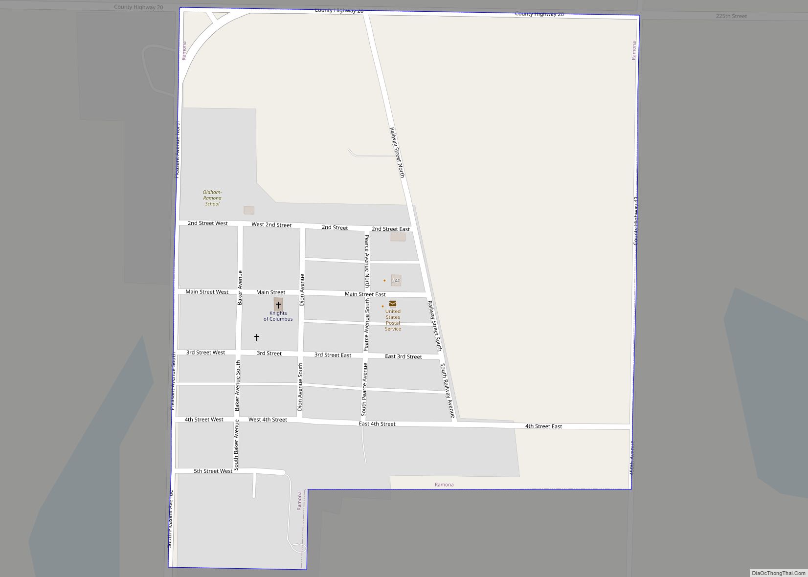
Ramona is a town in Lake County, South Dakota, United States. The population was 159 at the 2020 census. Ramona was laid out in 1886, and named for the local Ramon family. Ramona town overview: Name: Ramona town LSAD Code: 43 LSAD Description: town (suffix) State: South Dakota County: Lake County Elevation: 1,818 ft (554 m) Total ... Read more
South Dakota Cities and Places
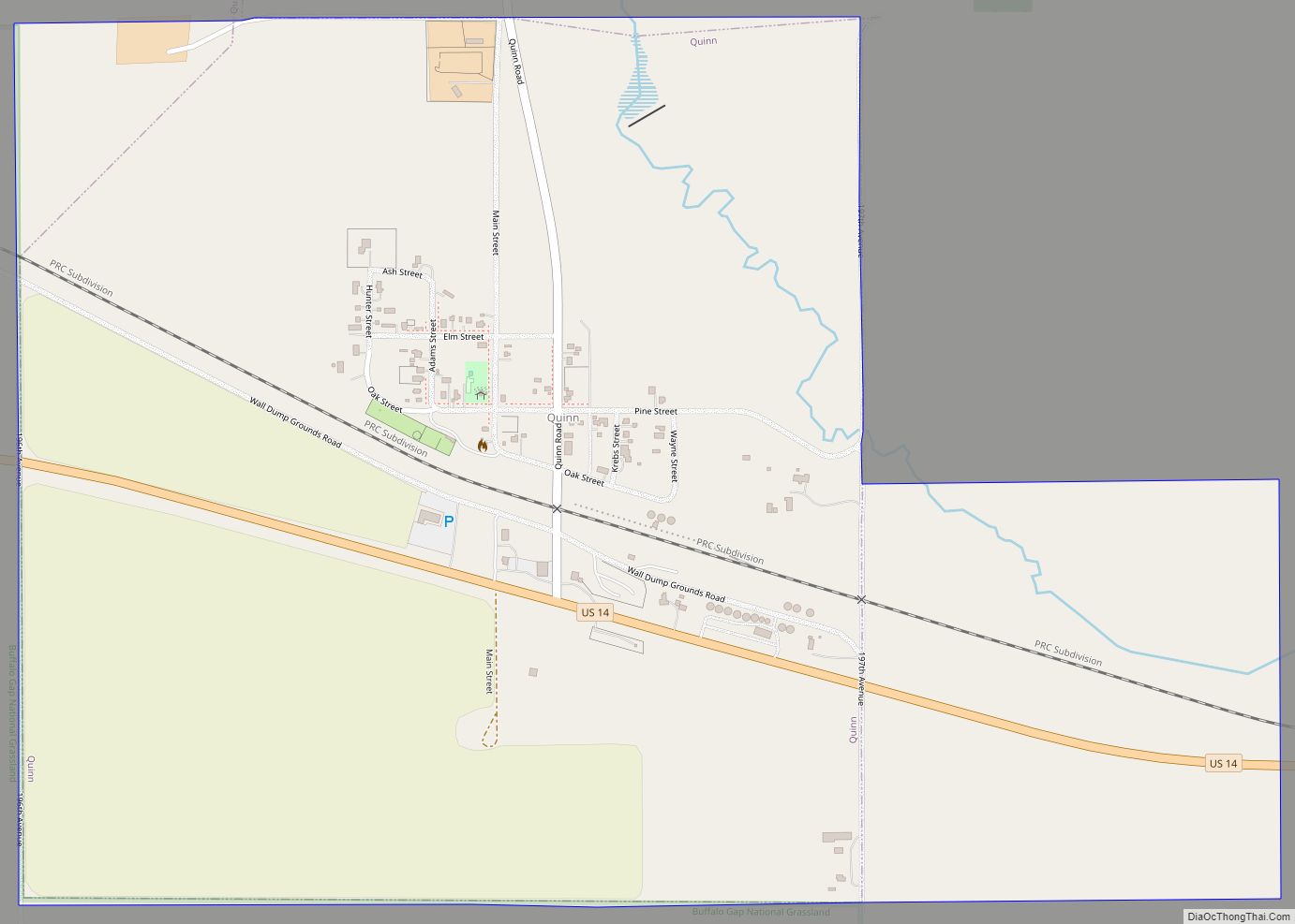
Quinn is a town in Pennington County, South Dakota, United States. The population was 63 at the 2020 census. The town is the home of the Badlands Observatory, located in the former community hospital, built in 1950. Quinn town overview: Name: Quinn town LSAD Code: 43 LSAD Description: town (suffix) State: South Dakota County: Pennington ... Read more
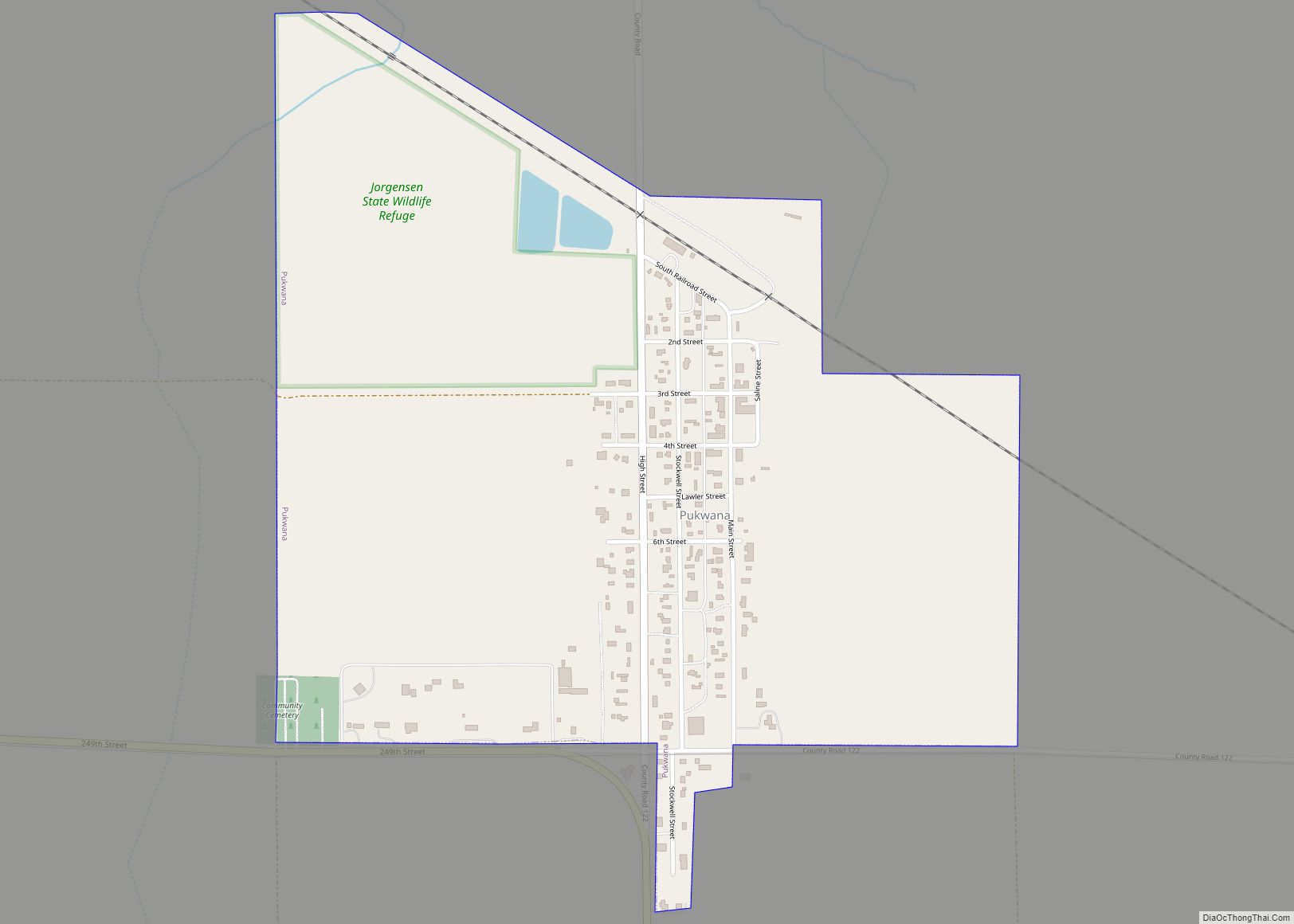
Pukwana is a town in Brule County, South Dakota, United States. The population was 233 at the 2020 census. Pukwana was laid out in 1881. In 1955, the local residents made a push to get the new Brule County Courthouse relocated to town, however the city of Chamberlain managed to keep it after battling petitions ... Read more
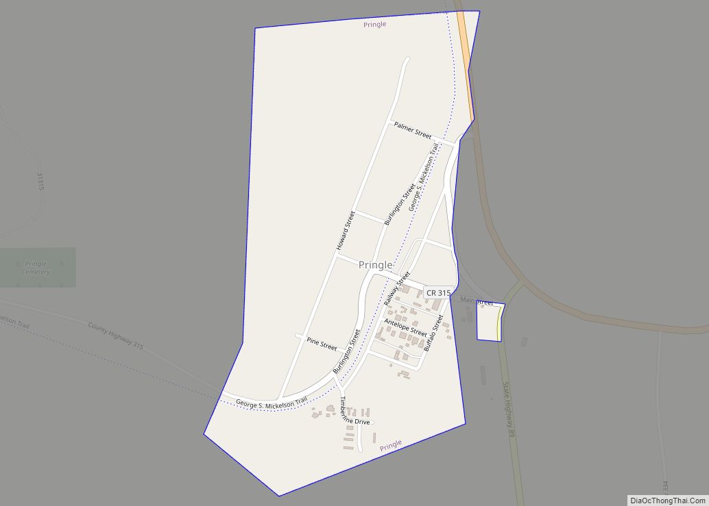
Pringle is a town in Custer County, South Dakota, United States. The population was 109 at the 2020 census. The town is named for W. H. Pringle, a cattleman who lived in the area. Pringle town overview: Name: Pringle town LSAD Code: 43 LSAD Description: town (suffix) State: South Dakota County: Custer County Elevation: 4,882 ft ... Read more
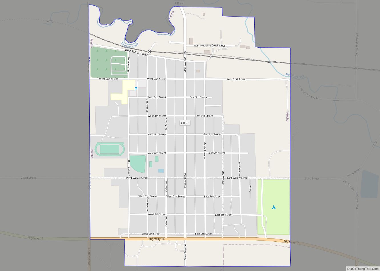
Presho is a small city in Lyman County, South Dakota, United States. The population was 472 at the 2020 census. Presho city overview: Name: Presho city LSAD Code: 25 LSAD Description: city (suffix) State: South Dakota County: Lyman County Incorporated: 1910 Elevation: 1,775 ft (541 m) Total Area: 0.67 sq mi (1.74 km²) Land Area: 0.67 sq mi (1.74 km²) Water Area: 0.00 sq mi ... Read more
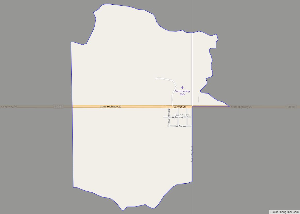
Prairie City is an unincorporated community and census-designated place in Perkins County, South Dakota, United States. One of many rural settlements in Perkins County, the town was founded in 1946 by former residents of Strool. The population of the CDP was 25 at the 2020 census. The town has been assigned the ZIP code of ... Read more
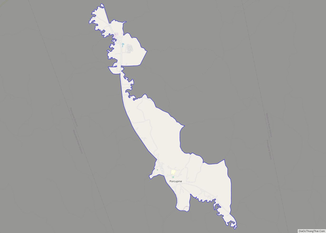
Porcupine (Lakota: pȟahíŋ siŋté; “porcupine tail”) is a census-designated place (CDP) in Oglala Lakota County, South Dakota, United States. The population was 925 at the 2020 census. The community most likely was named after Porcupine Butte. Porcupine has been noted for its unusual place name, and for its designation as the unofficial capital of the ... Read more
Richland is a small unincorporated community and census-designated place (CDP) in Union County, South Dakota, United States. The population was 97 at the 2020 census. Richland CDP overview: Name: Richland CDP LSAD Code: 57 LSAD Description: CDP (suffix) State: South Dakota County: Union County Total Area: 5.65 sq mi (14.62 km²) Land Area: 5.65 sq mi (14.62 km²) Water Area: 0.00 sq mi ... Read more
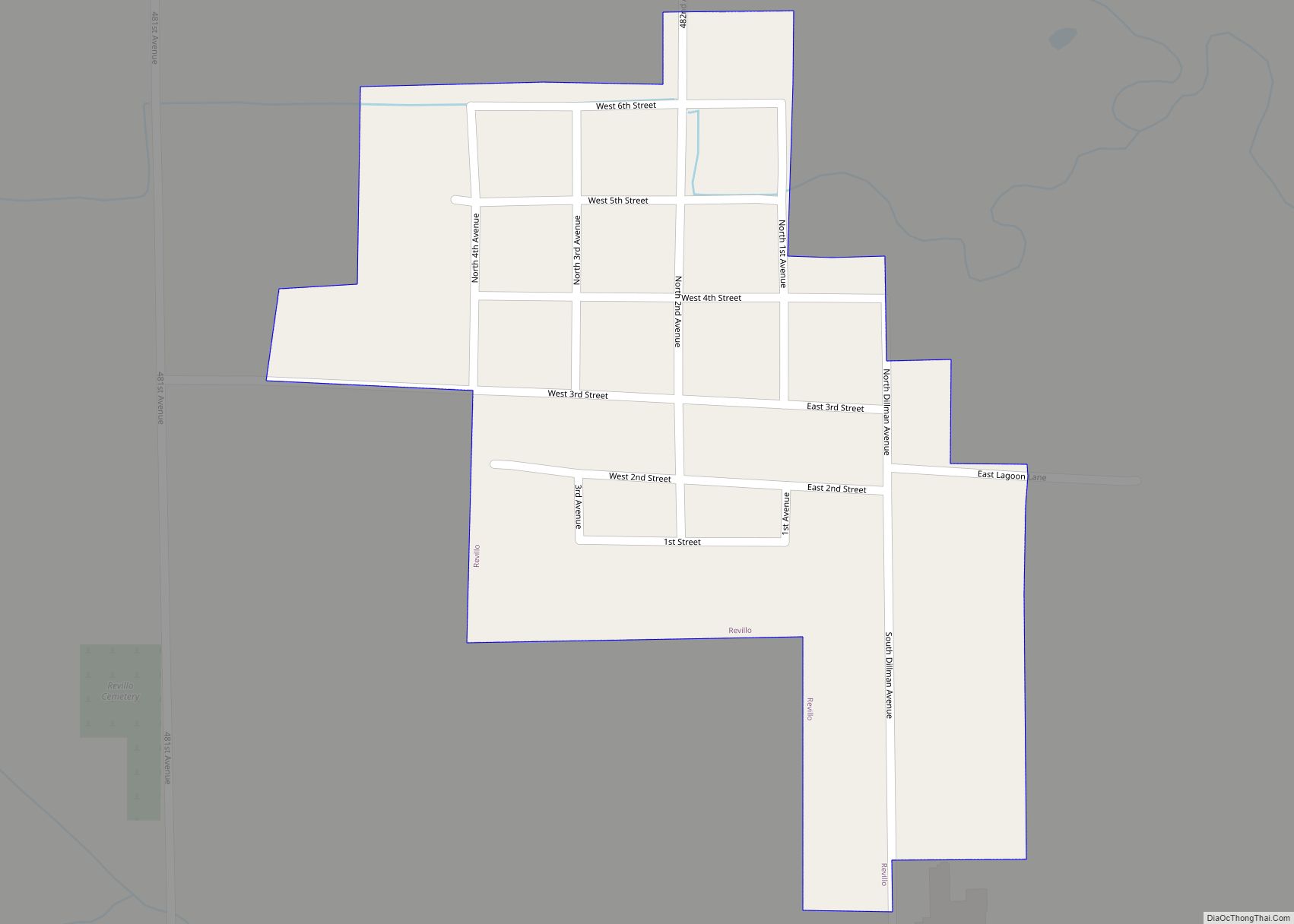
Revillo is a town in southeastern Grant County, South Dakota, United States. The population was 99 at the 2020 census. The name of the town most likely was derived from a backwards spelling of the proper name “Olliver”. Revillo town overview: Name: Revillo town LSAD Code: 43 LSAD Description: town (suffix) State: South Dakota County: ... Read more
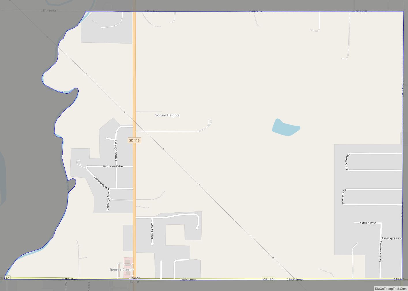
Renner Corner is an unincorporated community and census-designated place in Minnehaha County, South Dakota, United States. Its population was 347 as of the 2020 census. The community is located along South Dakota Highway 115, north of Sioux Falls. Renner Corner CDP overview: Name: Renner Corner CDP LSAD Code: 57 LSAD Description: CDP (suffix) State: South ... Read more
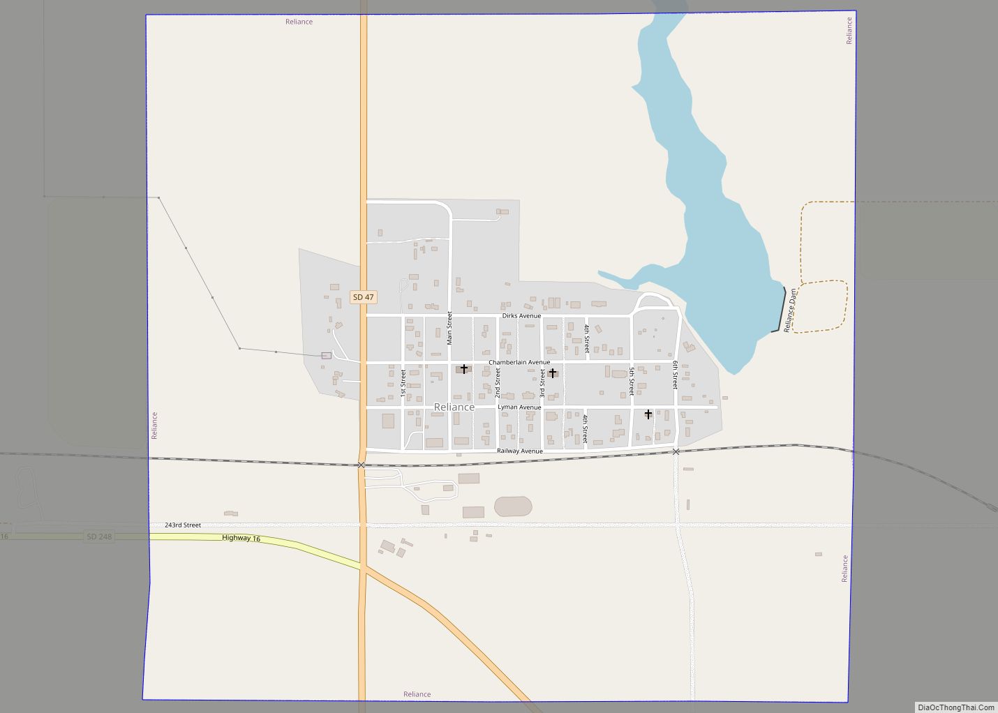
Reliance is a town in Lyman County, South Dakota, United States. The population was 128 at the 2020 census. Reliance was laid out in 1905. Reliance town overview: Name: Reliance town LSAD Code: 43 LSAD Description: town (suffix) State: South Dakota County: Lyman County Incorporated: 1905 Elevation: 1,791 ft (546 m) Total Area: 1.14 sq mi (2.96 km²) Land Area: ... Read more
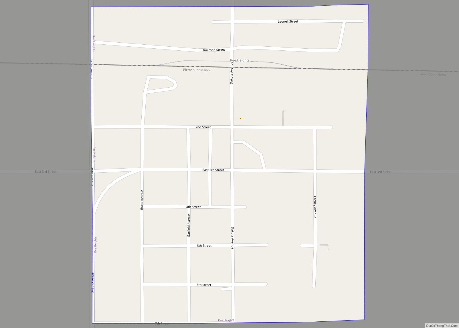
Ree Heights is a town in western Hand County, South Dakota, United States. The population was 62 at the 2010 census. Ree Heights town overview: Name: Ree Heights town LSAD Code: 43 LSAD Description: town (suffix) State: South Dakota County: Hand County Founded: 1882 Elevation: 1,732 ft (528 m) Total Area: 0.30 sq mi (0.77 km²) Land Area: 0.30 sq mi (0.77 km²) ... Read more
