Map of Revillo town

Map of Revillo town

Revillo is a town in southeastern Grant County, South Dakota, United States. The population was 99 at the 2020 census. The name of the town most likely was derived from a backwards spelling of the proper name “Olliver”. Revillo town overview: Name: Revillo town LSAD Code: 43 LSAD Description: town (suffix) State: South Dakota County: … Read more

Map of Renner Corner CDP

Map of Renner Corner CDP

Renner Corner is an unincorporated community and census-designated place in Minnehaha County, South Dakota, United States. Its population was 347 as of the 2020 census. The community is located along South Dakota Highway 115, north of Sioux Falls. Renner Corner CDP overview: Name: Renner Corner CDP LSAD Code: 57 LSAD Description: CDP (suffix) State: South … Read more

Map of Reliance town

Map of Reliance town, South Dakota

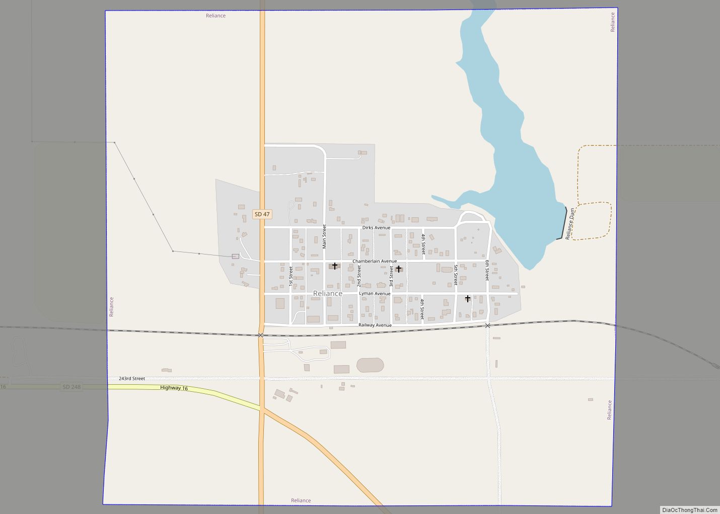
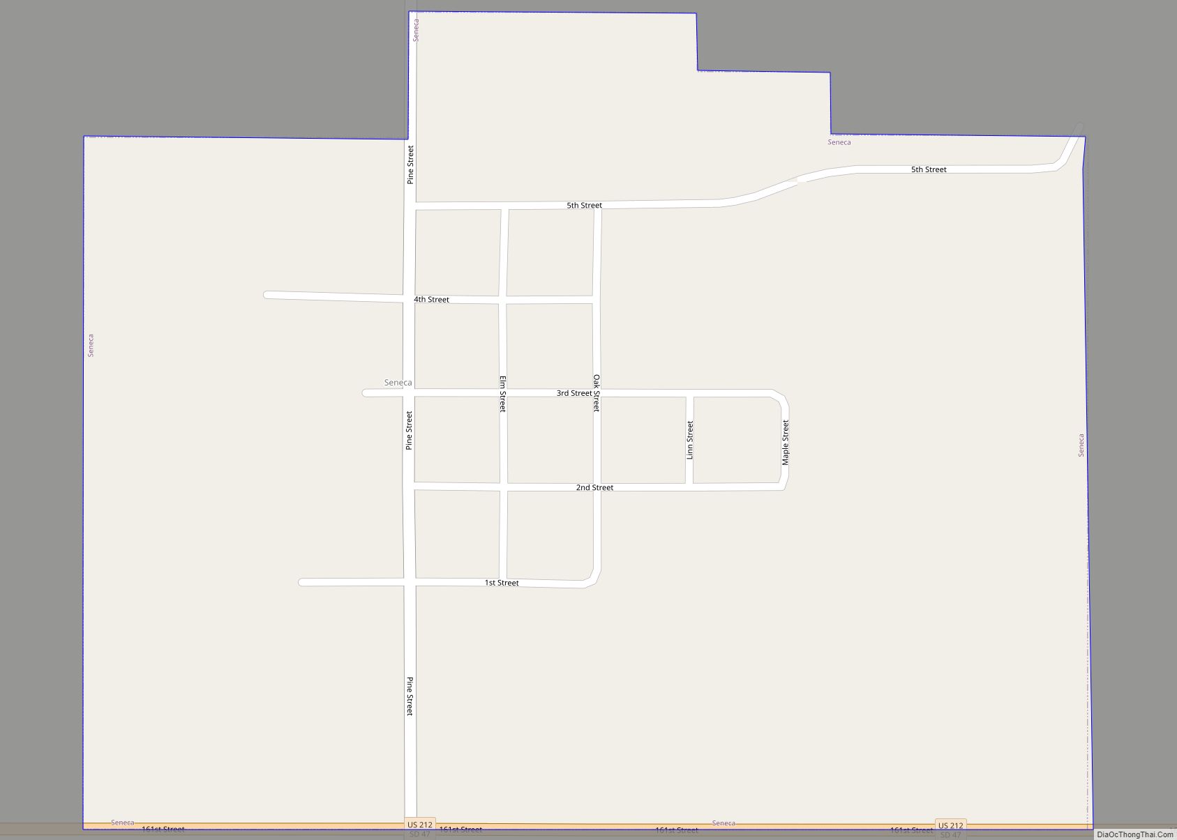
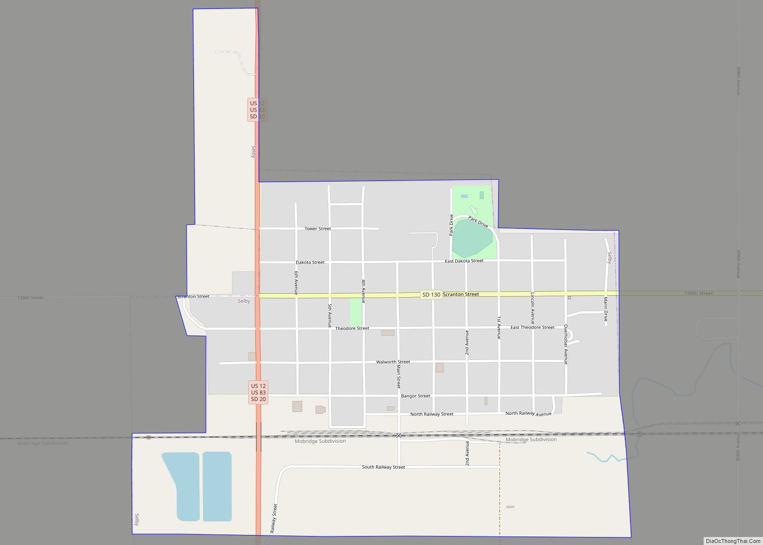
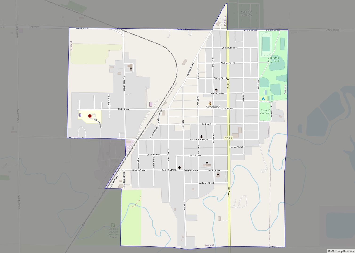
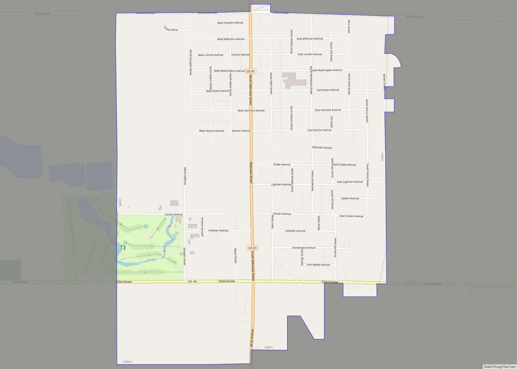
Reliance is a town in Lyman County, South Dakota, United States. The population was 128 at the 2020 census. Reliance was laid out in 1905. Reliance town overview: Name: Reliance town LSAD Code: 43 LSAD Description: town (suffix) State: South Dakota County: Lyman County Incorporated: 1905 Elevation: 1,791 ft (546 m) Total Area: 1.14 sq mi (2.96 km²) Land Area: … Read more

Map of Ree Heights town

Map of Ree Heights town

Ree Heights is a town in western Hand County, South Dakota, United States. The population was 62 at the 2010 census. Ree Heights town overview: Name: Ree Heights town LSAD Code: 43 LSAD Description: town (suffix) State: South Dakota County: Hand County Founded: 1882 Elevation: 1,732 ft (528 m) Total Area: 0.30 sq mi (0.77 km²) Land Area: 0.30 sq mi (0.77 km²) … Read more

Map of Redfield city, South Dakota

Map of Redfield city, South Dakota

Redfield is a city in and the county seat of Spink County, South Dakota, United States. The population was 2,214 at the 2020 census. The city was named for J. B. Redfield, a railroad official. Redfield city overview: Name: Redfield city LSAD Code: 25 LSAD Description: city (suffix) State: South Dakota County: Spink County Incorporated: … Read more

Map of Roslyn town, South Dakota

Map of Roslyn town, South Dakota

Roslyn is a town in northern Day County, South Dakota, United States. The population was 181 at the 2020 census. Roslyn town overview: Name: Roslyn town LSAD Code: 43 LSAD Description: town (suffix) State: South Dakota County: Day County Incorporated: 1914 Elevation: 1,864 ft (568 m) Total Area: 0.22 sq mi (0.56 km²) Land Area: 0.22 sq mi (0.56 km²) Water Area: 0.00 sq mi … Read more

Map of Sinai town

Map of Sinai town

Sinai (/ˈsaɪniaɪ/ SY-nee-eye) is a town in Brookings County, South Dakota, United States. The population was 99 at the 2020 census. Located there are a grainery, a post office, a bank, and a church. Sinai town overview: Name: Sinai town LSAD Code: 43 LSAD Description: town (suffix) State: South Dakota County: Brookings County Incorporated: 1908 … Read more

Map of Shindler CDP

Map of Shindler CDP

Shindler is an unincorporated community and census-designated place (CDP) in Lincoln County, South Dakota, United States. The population was 607 at the 2020 census. Shindler CDP overview: Name: Shindler CDP LSAD Code: 57 LSAD Description: CDP (suffix) State: South Dakota County: Lincoln County Elevation: 1,403 ft (428 m) Total Area: 1.50 sq mi (3.89 km²) Land Area: 1.50 sq mi (3.89 km²) Water … Read more

Map of Sherman town, South Dakota

Map of Sherman town, South Dakota

Sherman is a town in Minnehaha County, South Dakota, United States. The population was 81 at the 2020 census. The town has the name of E. A . Sherman, a Dakota Territory banker. Sherman town overview: Name: Sherman town LSAD Code: 43 LSAD Description: town (suffix) State: South Dakota County: Minnehaha County Incorporated: 1888 Elevation: … Read more

Map of Seneca town, South Dakota

Map of Seneca town, South Dakota

Seneca is a town in Faulk County, South Dakota, United States. The population was 22 at the 2020 census. Seneca town overview: Name: Seneca town LSAD Code: 43 LSAD Description: town (suffix) State: South Dakota County: Faulk County Elevation: 1,906 ft (581 m) Total Area: 0.42 sq mi (1.08 km²) Land Area: 0.42 sq mi (1.08 km²) Water Area: 0.00 sq mi (0.00 km²) Total Population: … Read more

Map of Selby city

Map of Selby city

Selby is a city in Walworth County, South Dakota, United States. The population was 610 at the 2020 census. It is the county seat of Walworth County. Selby city overview: Name: Selby city LSAD Code: 25 LSAD Description: city (suffix) State: South Dakota County: Walworth County Incorporated: 1909 Elevation: 1,903 ft (580 m) Total Area: 0.71 sq mi (1.84 km²) … Read more

Map of Scotland city, South Dakota

Map of Scotland city, South Dakota

Scotland is a city in Bon Homme County, South Dakota, United States. The population was 785 at the 2020 census. Scotland city overview: Name: Scotland city LSAD Code: 25 LSAD Description: city (suffix) State: South Dakota County: Bon Homme County Incorporated: 1885 Elevation: 1,355 ft (413 m) Total Area: 0.90 sq mi (2.32 km²) Land Area: 0.90 sq mi (2.32 km²) Water Area: … Read more