Redfield is a city in and the county seat of Spink County, South Dakota, United States. The population was 2,214 at the 2020 census. The city was named for J. B. Redfield, a railroad official.
| Name: | Redfield city |
|---|---|
| LSAD Code: | 25 |
| LSAD Description: | city (suffix) |
| State: | South Dakota |
| County: | Spink County |
| Incorporated: | 1883 |
| Elevation: | 1,302 ft (397 m) |
| Total Area: | 1.96 sq mi (5.08 km²) |
| Land Area: | 1.93 sq mi (4.99 km²) |
| Water Area: | 0.03 sq mi (0.09 km²) |
| Total Population: | 2,214 |
| Population Density: | 1,148.34/sq mi (443.30/km²) |
| ZIP code: | 57469 |
| Area code: | 605 |
| FIPS code: | 4653460 |
| GNISfeature ID: | 1265687 |
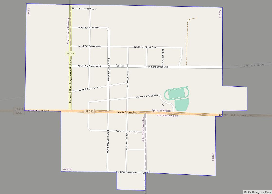
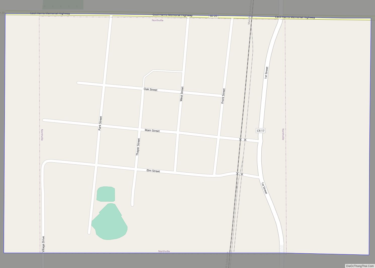
Online Interactive Map
Click on ![]() to view map in "full screen" mode.
to view map in "full screen" mode.
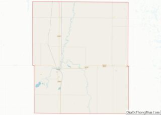
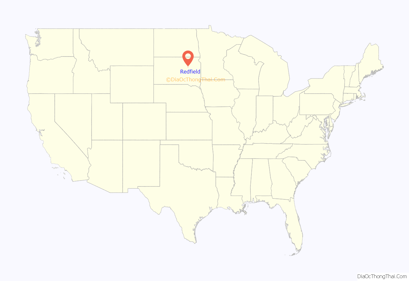
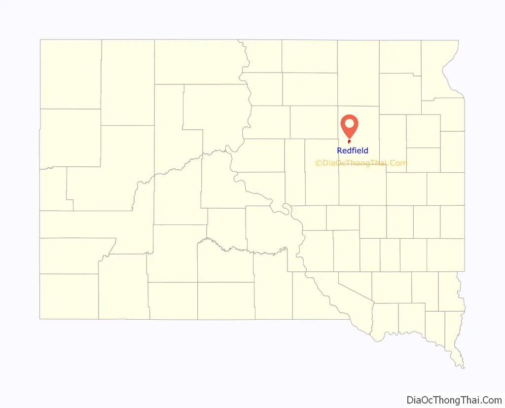
Redfield location map. Where is Redfield city?
History
The first settlers arrived in the Redfield area in 1878, and a post office was established two years later under the name “Stennett Junction.” The “Redfield” name was adopted in 1881. The town became the seat of Spink County in 1886, following a six-year legal and political battle among several Spink County towns. Redfield rapidly became a major town in the region, due in part to its status as a railroad center—the town was a crossroads of two lines of the Chicago and North Western Railway, and was also served by the Milwaukee Road Railroad. Railroads brought supplies, people, and animals, and also provided for transportation of crops back East.
Redfield College was established in the town in 1887, and operated until 1932. In 1902 the “Northern Hospital for the Insane,” a state institution, opened on a campus just north of town. That facility remains in operation today as the South Dakota Developmental Center.
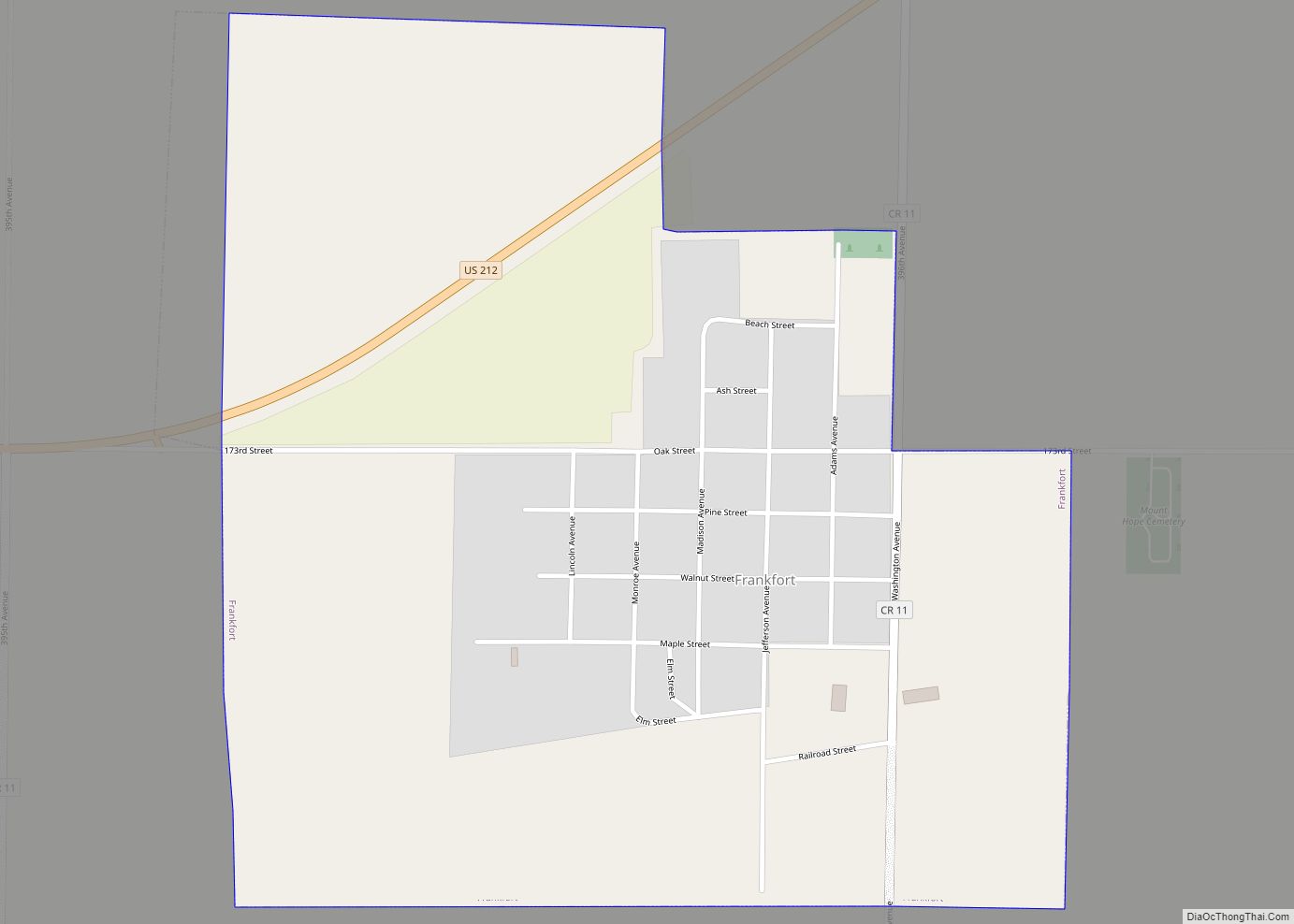
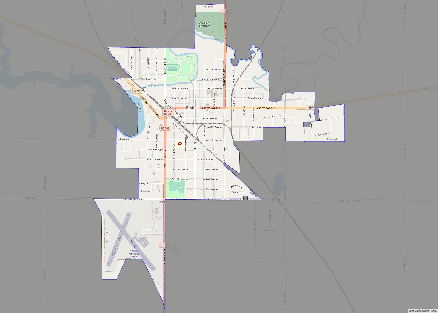
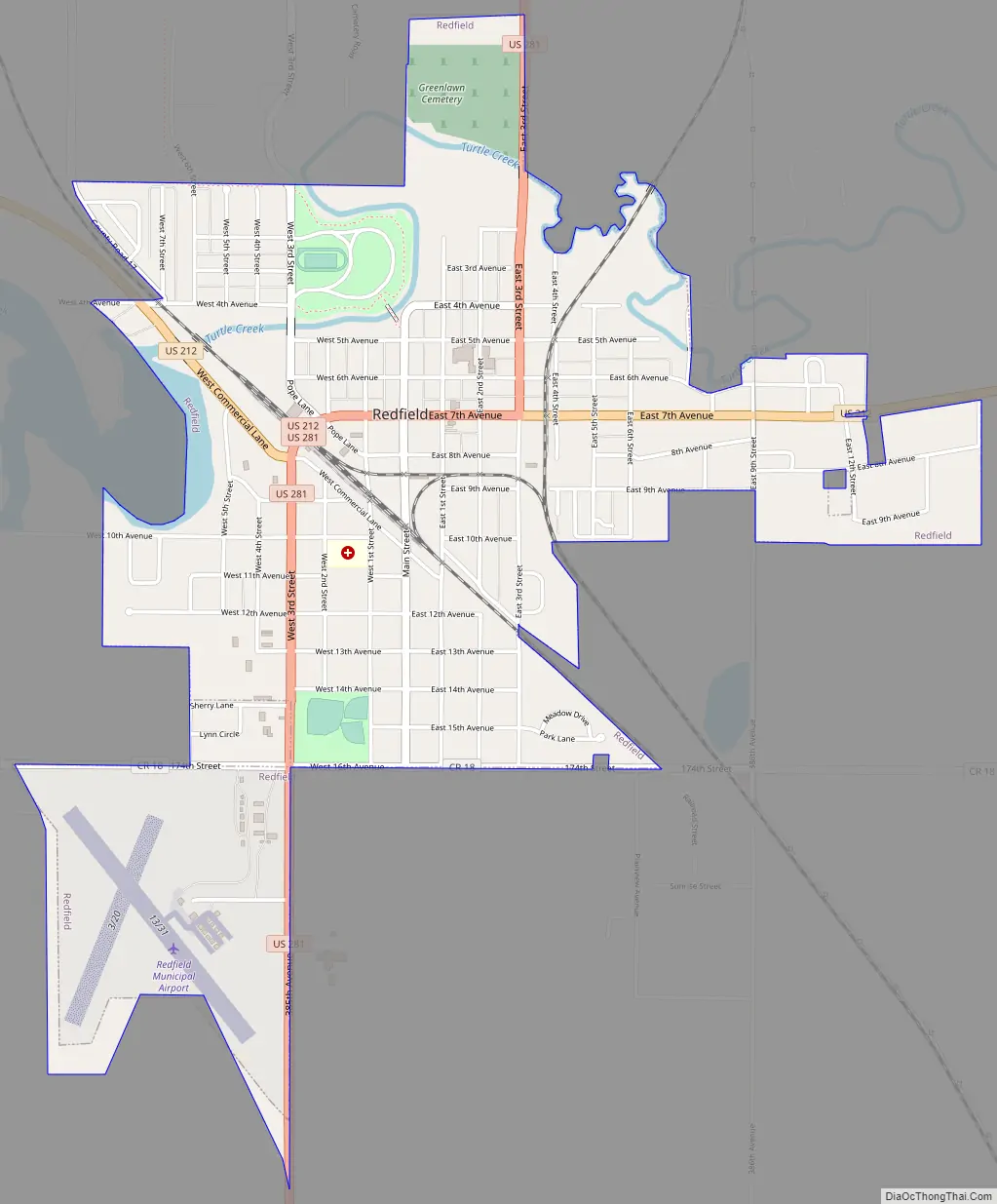
Redfield Road Map
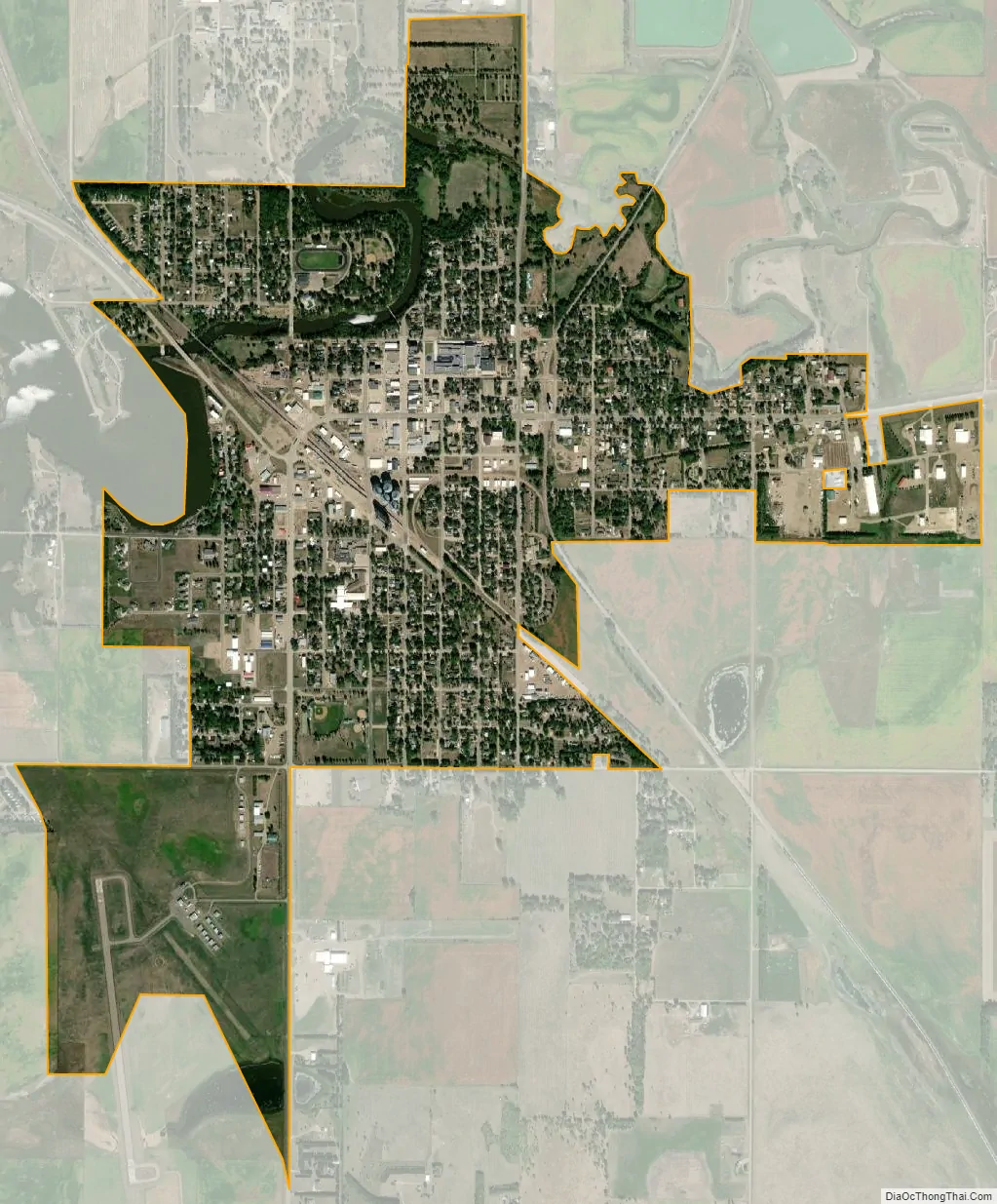
Redfield city Satellite Map
Geography
Redfield is located at 44°52′31″N 98°31′04″W / 44.875145°N 98.517850°W / 44.875145; -98.517850.
According to the United States Census Bureau, the city has a total area of 1.92 square miles (4.97 km), of which 1.89 square miles (4.90 km) is land and 0.03 square miles (0.08 km) is water.
Redfield has been assigned the ZIP code 57469 and the FIPS place code 53460.
See also
Map of South Dakota State and its subdivision:- Aurora
- Beadle
- Bennett
- Bon Homme
- Brookings
- Brown
- Brule
- Buffalo
- Butte
- Campbell
- Charles Mix
- Clark
- Clay
- Codington
- Corson
- Custer
- Davison
- Day
- Deuel
- Dewey
- Douglas
- Edmunds
- Fall River
- Faulk
- Grant
- Gregory
- Haakon
- Hamlin
- Hand
- Hanson
- Harding
- Hughes
- Hutchinson
- Hyde
- Jackson
- Jerauld
- Jones
- Kingsbury
- Lake
- Lawrence
- Lincoln
- Lyman
- Marshall
- McCook
- McPherson
- Meade
- Mellette
- Miner
- Minnehaha
- Moody
- Pennington
- Perkins
- Potter
- Roberts
- Sanborn
- Shannon
- Spink
- Stanley
- Sully
- Todd
- Tripp
- Turner
- Union
- Walworth
- Yankton
- Ziebach
- Alabama
- Alaska
- Arizona
- Arkansas
- California
- Colorado
- Connecticut
- Delaware
- District of Columbia
- Florida
- Georgia
- Hawaii
- Idaho
- Illinois
- Indiana
- Iowa
- Kansas
- Kentucky
- Louisiana
- Maine
- Maryland
- Massachusetts
- Michigan
- Minnesota
- Mississippi
- Missouri
- Montana
- Nebraska
- Nevada
- New Hampshire
- New Jersey
- New Mexico
- New York
- North Carolina
- North Dakota
- Ohio
- Oklahoma
- Oregon
- Pennsylvania
- Rhode Island
- South Carolina
- South Dakota
- Tennessee
- Texas
- Utah
- Vermont
- Virginia
- Washington
- West Virginia
- Wisconsin
- Wyoming