Buffalo is a town in, and the county seat of, Harding County, South Dakota, United States. The population was 346 at the 2020 census. Buffalo town overview: Name: Buffalo town LSAD Code: 43 LSAD Description: town (suffix) State: South Dakota County: Harding County Incorporated: 1949 Elevation: 2,881 ft (878 m) Total Area: 0.55 sq mi (1.43 km²) Land Area: 0.55 sq mi ... Read more
South Dakota Cities and Places
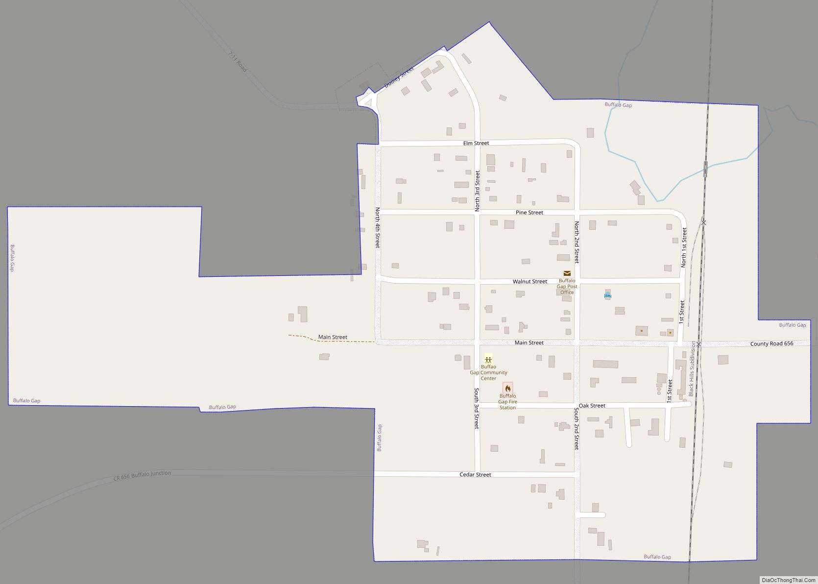
Buffalo Gap (Lakota: pté tȟathíyopa otȟúŋwahe; “buffalo gap village”) is a town in Custer County, South Dakota, United States. The population was 131 at the 2020 census. Buffalo Gap town overview: Name: Buffalo Gap town LSAD Code: 43 LSAD Description: town (suffix) State: South Dakota County: Custer County Elevation: 3,261 ft (994 m) Total Area: 0.31 sq mi (0.79 km²) ... Read more
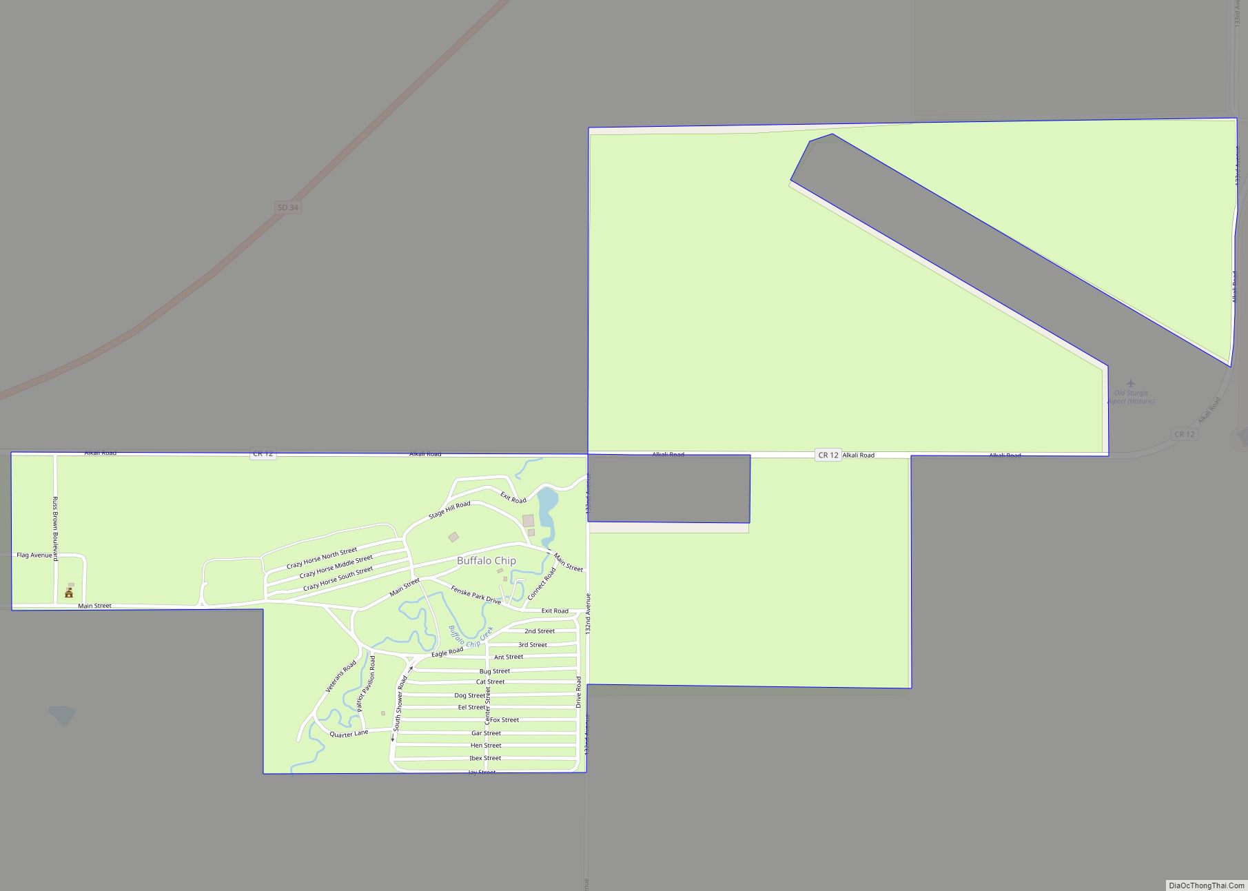
The Buffalo Chip Campground is an event venue in Meade County, South Dakota, United States. The campground is a place for motorcycle enthusiasts and music festival visitors each year, and has been since its founding in 1981. Host to a 10-day Concert Series and thousands of motorcyclists each August during the annual Sturgis Motorcycle Rally, ... Read more
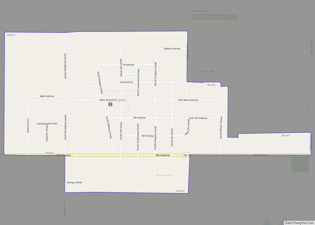
Bryant is a city in Hamlin County, South Dakota, United States. It is part of the Watertown, South Dakota Micropolitan Statistical Area. The population was 471 at the 2020 census. The mayor is named Win Noem. Bryant city overview: Name: Bryant city LSAD Code: 25 LSAD Description: city (suffix) State: South Dakota County: Hamlin County ... Read more
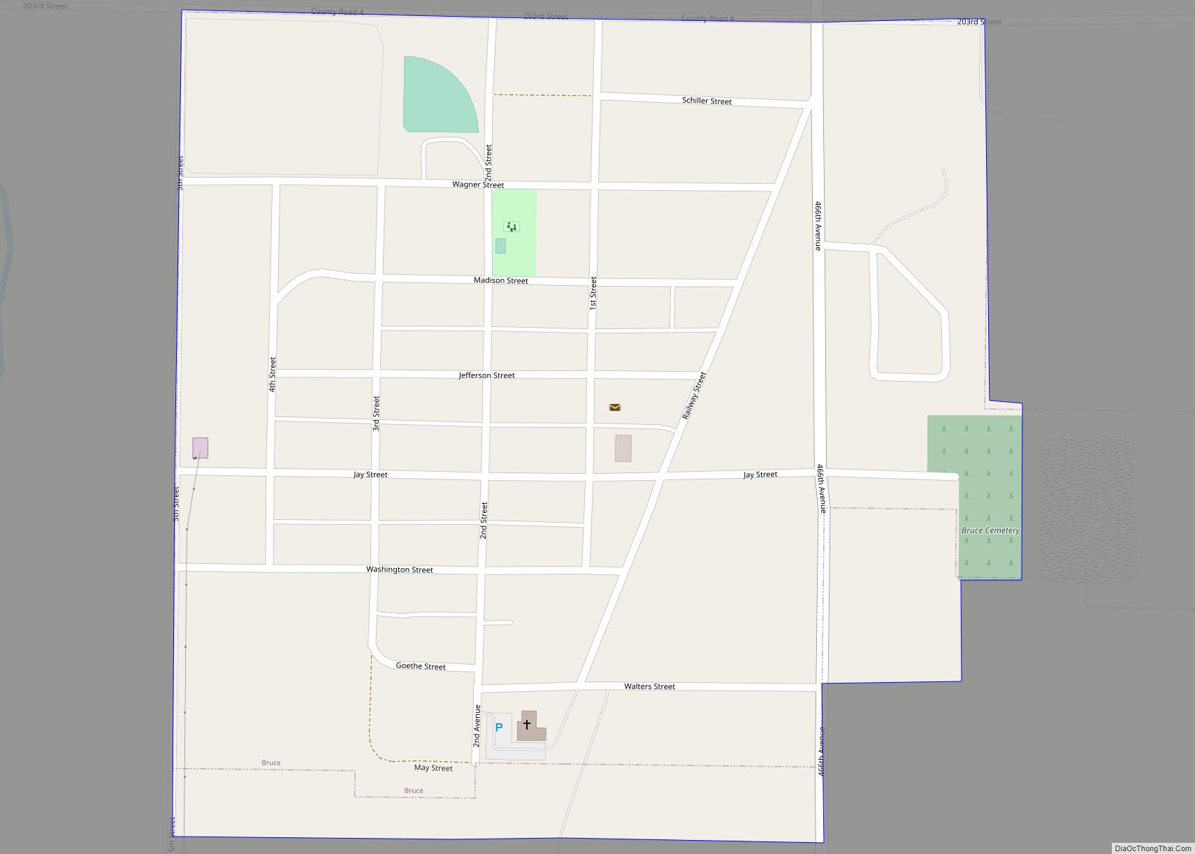
Bruce is a city in Brookings County, South Dakota, United States. The population was 210 at the 2020 census. Bruce city overview: Name: Bruce city LSAD Code: 25 LSAD Description: city (suffix) State: South Dakota County: Brookings County Elevation: 1,627 ft (496 m) Total Area: 0.37 sq mi (0.96 km²) Land Area: 0.37 sq mi (0.96 km²) Water Area: 0.00 sq mi (0.00 km²) Total Population: ... Read more
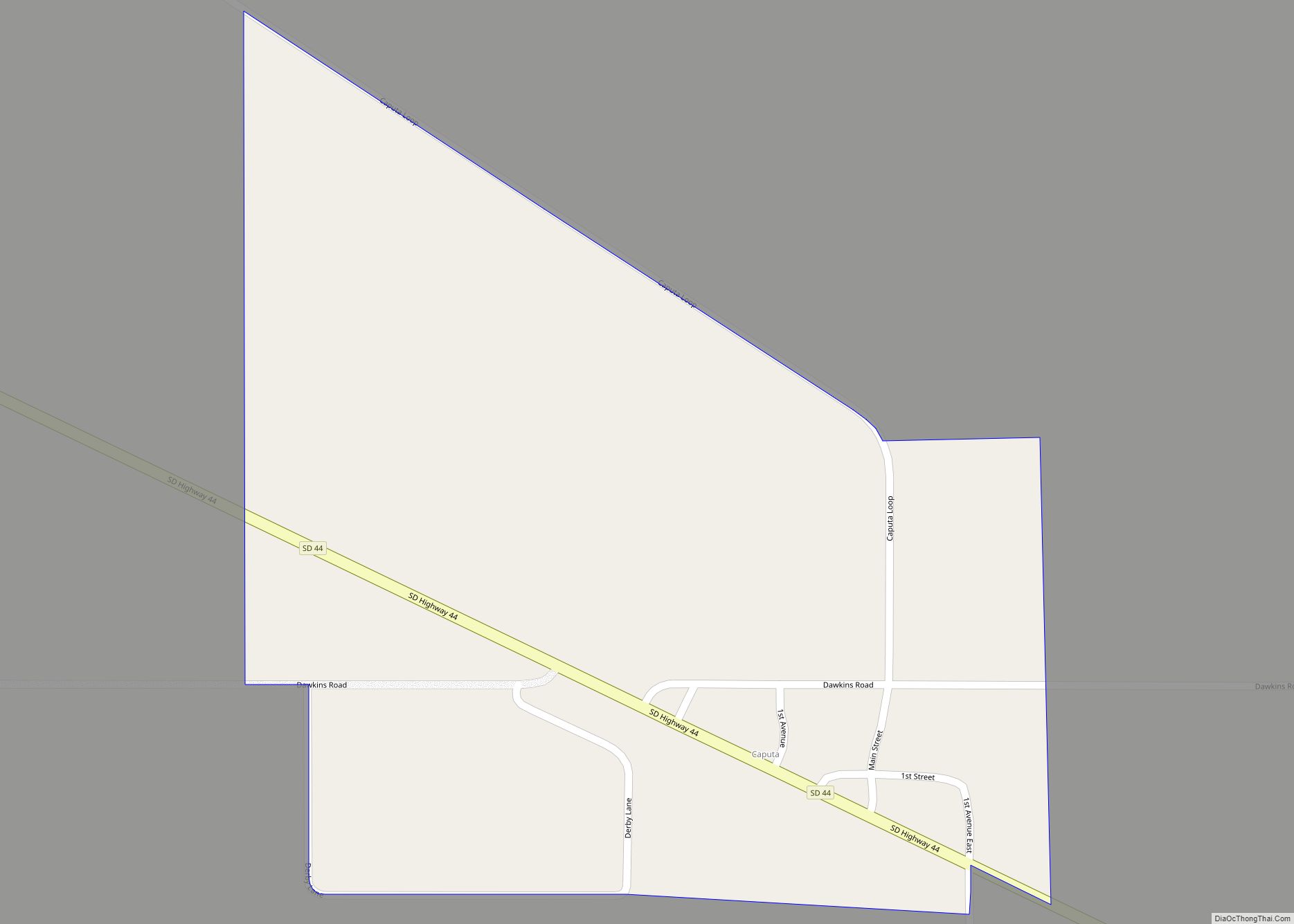
Caputa CDP overview: Name: Caputa CDP LSAD Code: 57 LSAD Description: CDP (suffix) State: South Dakota FIPS code: 4609780 Online Interactive Map Caputa online map. Source: Basemap layers from Google Map, Open Street Map (OSM), Arcgisonline, Wmflabs. Boundary Data from Database of Global Administrative Areas. Caputa location map. Where is Caputa CDP? Caputa Road Map ... Read more
Canton is a city in and the county seat of Lincoln County, South Dakota, United States. Canton is located 20 minutes south of Sioux Falls in southeastern South Dakota. Canton is nestled in the rolling hills of the Sioux Valley, providing an abundance of recreational activities with the Big Sioux River bordering the eastern side, ... Read more
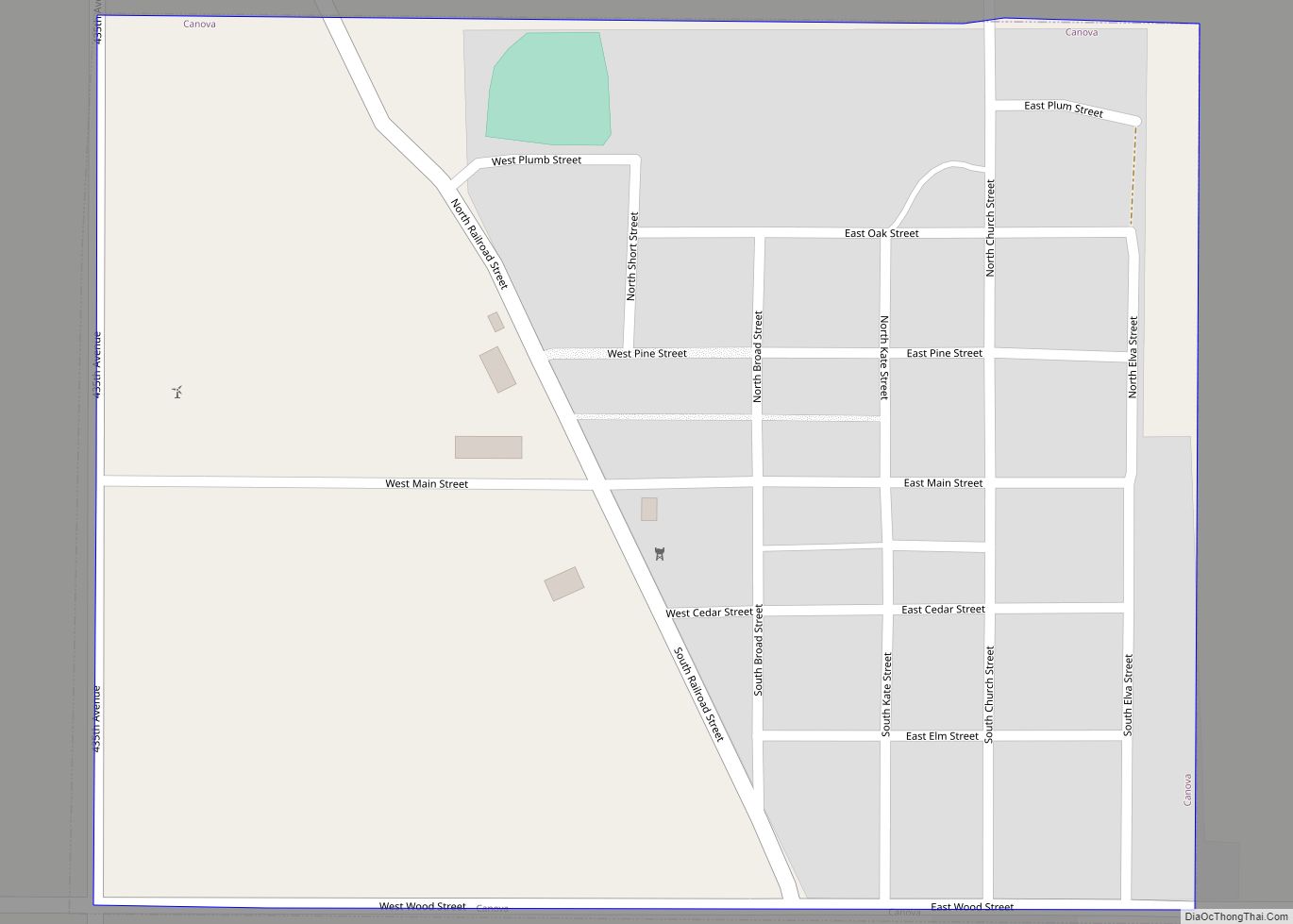
Canova is a town in Miner County, South Dakota, United States. The population was 89 at the 2020 census. The town celebrated its 125th anniversary in 2008. Canova town overview: Name: Canova town LSAD Code: 43 LSAD Description: town (suffix) State: South Dakota County: Miner County Incorporated: 1898 Elevation: 1,522 ft (464 m) Total Area: 0.31 sq mi (0.81 km²) ... Read more
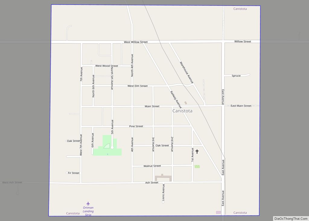
Canistota is a city in McCook County, South Dakota, United States. The population was 631 at the 2020 census. Canistota is known for chiropractic services, especially the longstanding Ortman Clinic, which attracts many Amish people from around the Midwest. Canistota city overview: Name: Canistota city LSAD Code: 25 LSAD Description: city (suffix) State: South Dakota ... Read more
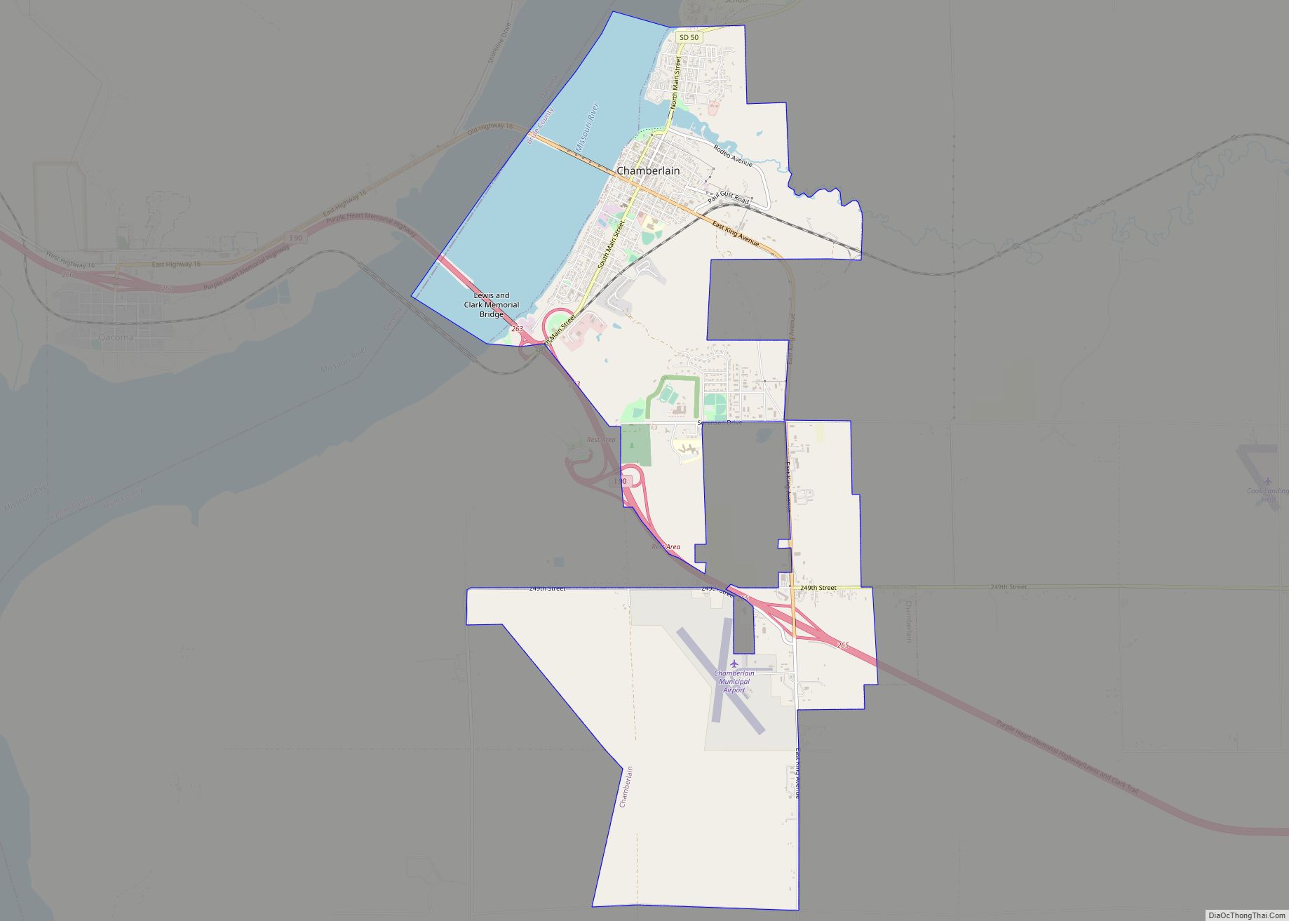
Chamberlain is a city in Brule County, South Dakota, United States. It is located on the east bank of the Missouri River, at the dammed section of the Lake Francis Case, close to where it is crossed by Interstate 90. The population of Chamberlain was 2,473 at the 2020 census. It is the county seat ... Read more
Central City is a city in Lawrence County, South Dakota, United States. The population was 93 at the 2020 census. Central City city overview: Name: Central City city LSAD Code: 25 LSAD Description: city (suffix) State: South Dakota County: Lawrence County Founded: 1877 Elevation: 4,892 ft (1,491 m) Total Area: 0.15 sq mi (0.38 km²) Land Area: 0.15 sq mi (0.38 km²) Water ... Read more
Centerville is a city in Turner County, South Dakota, United States. The population was 918 at the 2020 census. Centerville is part of the Sioux Falls, South Dakota metropolitan area. Centerville city overview: Name: Centerville city LSAD Code: 25 LSAD Description: city (suffix) State: South Dakota County: Turner County Incorporated: 1894 Elevation: 1,227 ft (374 m) Total ... Read more

