Canton is a city in and the county seat of Lincoln County, South Dakota, United States. Canton is located 20 minutes south of Sioux Falls in southeastern South Dakota. Canton is nestled in the rolling hills of the Sioux Valley, providing an abundance of recreational activities with the Big Sioux River bordering the eastern side, Newton Hills State Park to the south, and Lake Alvin to the north. The city was named by Norwegian settler and former legislator James M. Wahl. The population was 3,066 as of the 2020 census.
The City of Canton was the proud recipient of the South Dakota Community of the Year Award in 2004 and in 2011. The city is also home to the Canton Industrial Park, South Dakota’s first Certified Ready Site.
| Name: | Canton city |
|---|---|
| LSAD Code: | 25 |
| LSAD Description: | city (suffix) |
| State: | South Dakota |
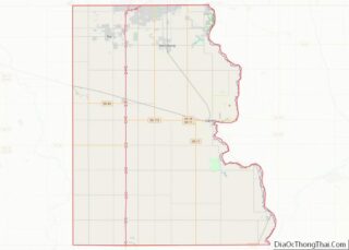
| County: | Lincoln County |
| Incorporated: | 1881 |
| Elevation: | 1,270 ft (387 m) |
| Total Area: | 3.29 sq mi (8.51 km²) |
| Land Area: | 3.27 sq mi (8.47 km²) |
| Water Area: | 0.02 sq mi (0.04 km²) |
| Total Population: | 3,066 |
| Population Density: | 937.61/sq mi (362.05/km²) |
| ZIP code: | 57013 |
| Area code: | 605 |
| FIPS code: | 4609500 |
| GNISfeature ID: | 1254228 |
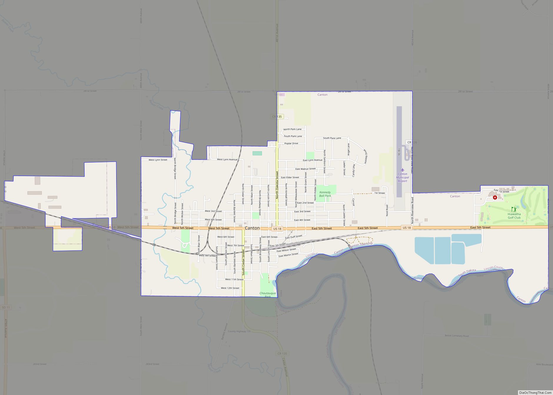
Online Interactive Map
Click on ![]() to view map in "full screen" mode.
to view map in "full screen" mode.
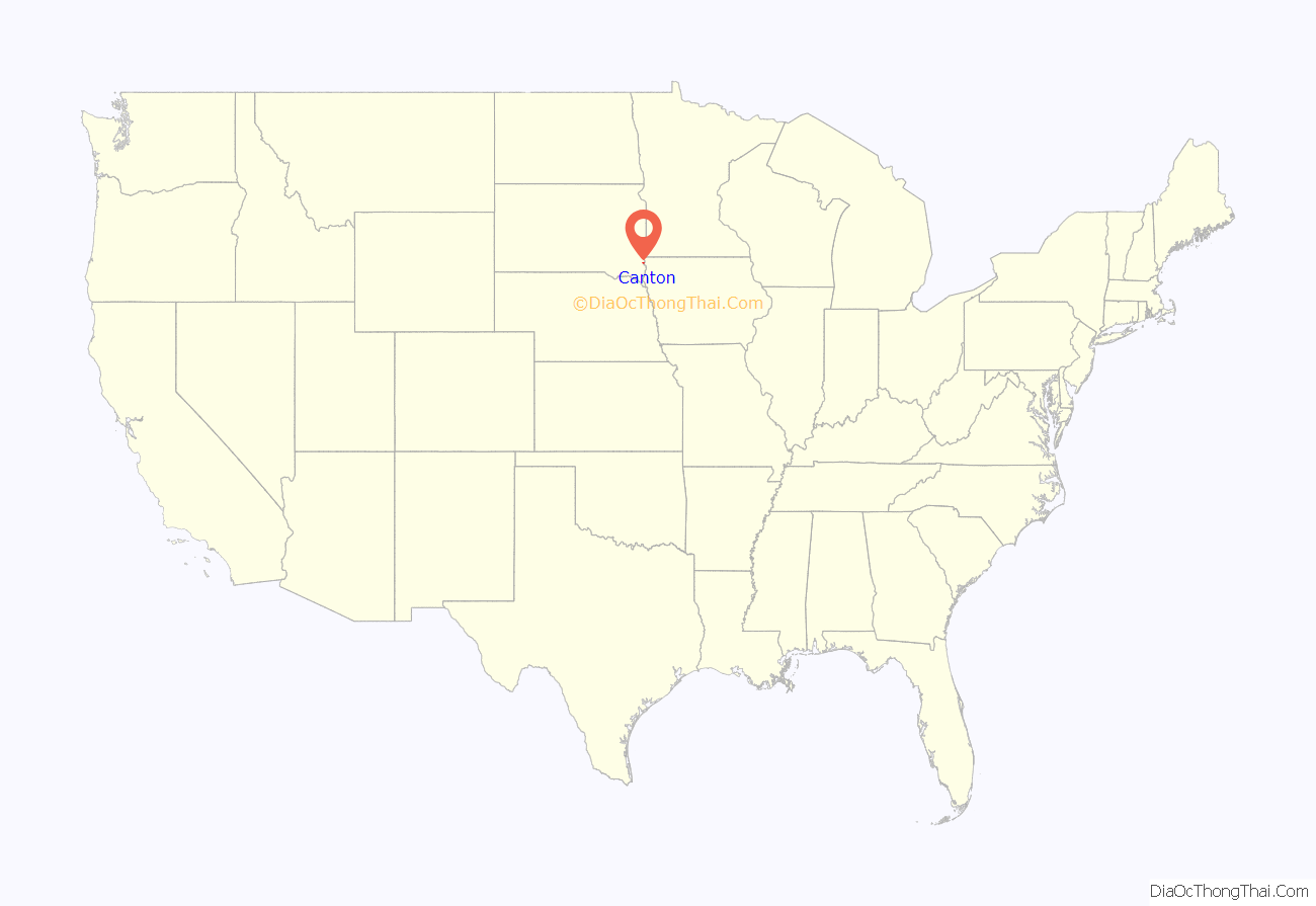
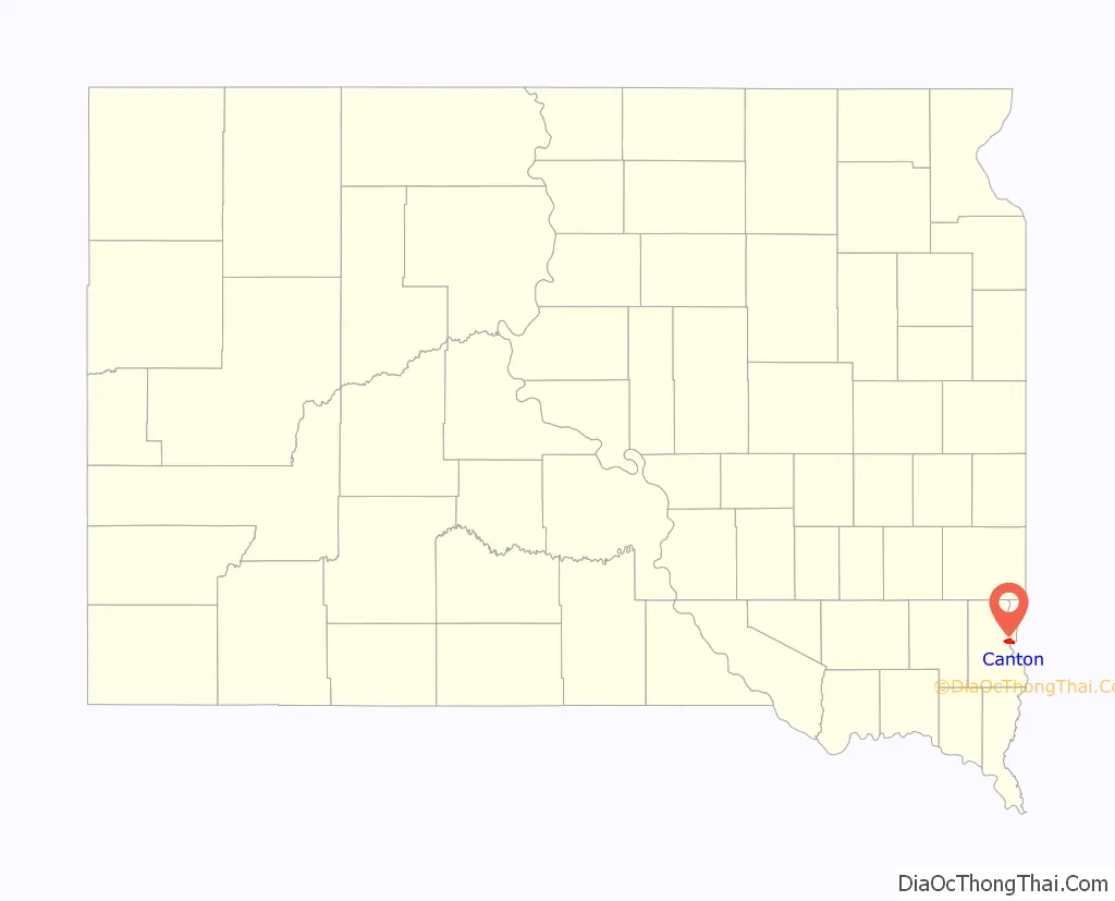
Canton location map. Where is Canton city?
History
The earliest known visitor to the area was Lewis P. Hyde, who first came to the area in 1866. The first actual settler was August Linderman. By 1868, there were 35 people living in Lincoln County. The residents named the community Canton, believing the location to be the exact opposite of Canton, China. By the summer of that year, a caravan of 180 Norwegian settlers crossed the Big Sioux River to make their home in Canton. In 1880, the Chicago, Milwaukee, St. Paul and Pacific Railroad crossed the Big Sioux River to reach Canton. The city still has an active rail freight service. The city has many historical homes and buildings dating back to the late 1800s. Some notable sites include The Kennedy Mansion on Dakota Street, as well as the Historical Society House built in 1886. Lincoln County Courthouse was built in 1889, and Canton Lutheran Church was built in 1908.
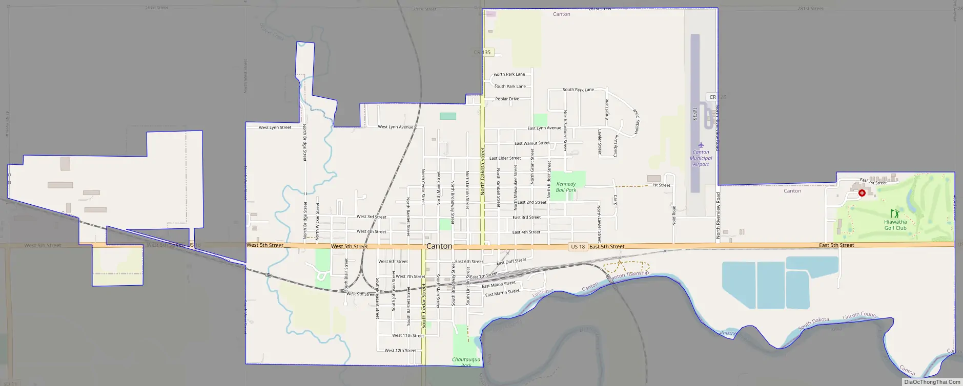
Canton Road Map
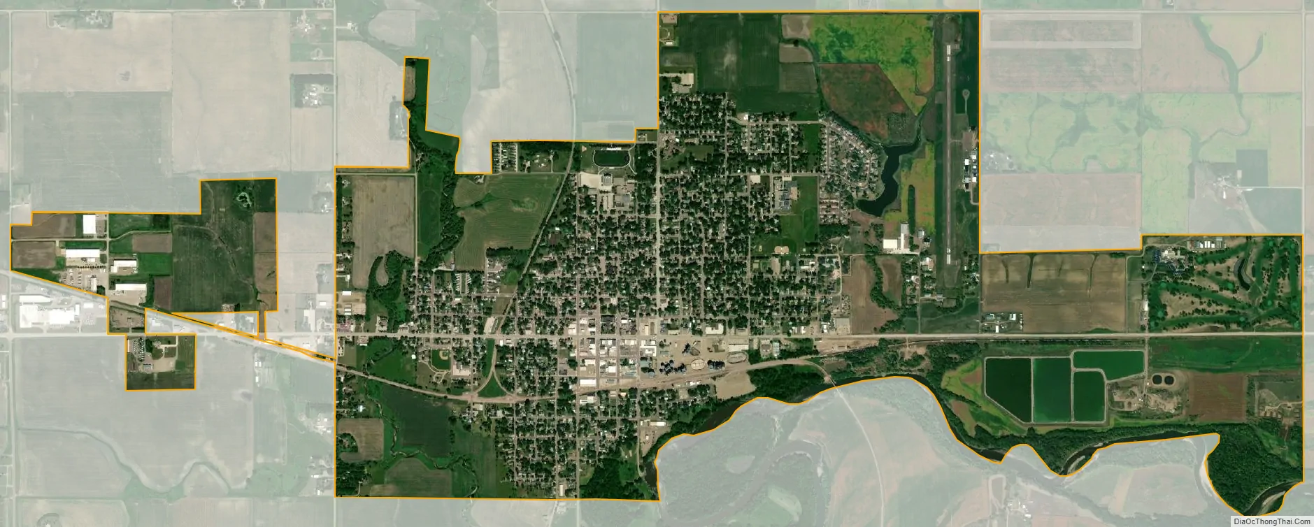
Canton city Satellite Map
Geography
Canton is located at 43°18′8″N 96°35′27″W / 43.30222°N 96.59083°W / 43.30222; -96.59083 (43.302254, -96.590810), along the Big Sioux River across from Beloit, Iowa.
According to the United States Census Bureau, the city has a total area of 3.22 square miles (8.34 km), of which 3.19 square miles (8.26 km) is land and 0.03 square miles (0.08 km) is water. Canton has been assigned the ZIP code 57013 and the FIPS place code 09500.
Climate
Canton experiences a humid continental climate (Köppen Dfa), which is characterized by hot, relatively humid summers and cold, dry winters, and is located in USDA Plant Hardiness Zone 4b. The monthly daily average temperature ranges from 15.5 °F (−9.2 °C) in January to 72.5 °F (22.5 °C) in July, while there are 15 days of 90 °F (32 °C)+ highs and 25 days with sub-0 °F (−18 °C) lows annually. Snowfall occurs mostly in light to moderate amounts during the winter, totaling 36.1 inches (92 cm). Precipitation, at 27.81 inches (706 mm) annually, is concentrated in the warmer months. Extremes range from −47 °F (−44 °C) on February 2, 1905, to 115 °F (46 °C) on July 17, 1936.
Metropolitan area
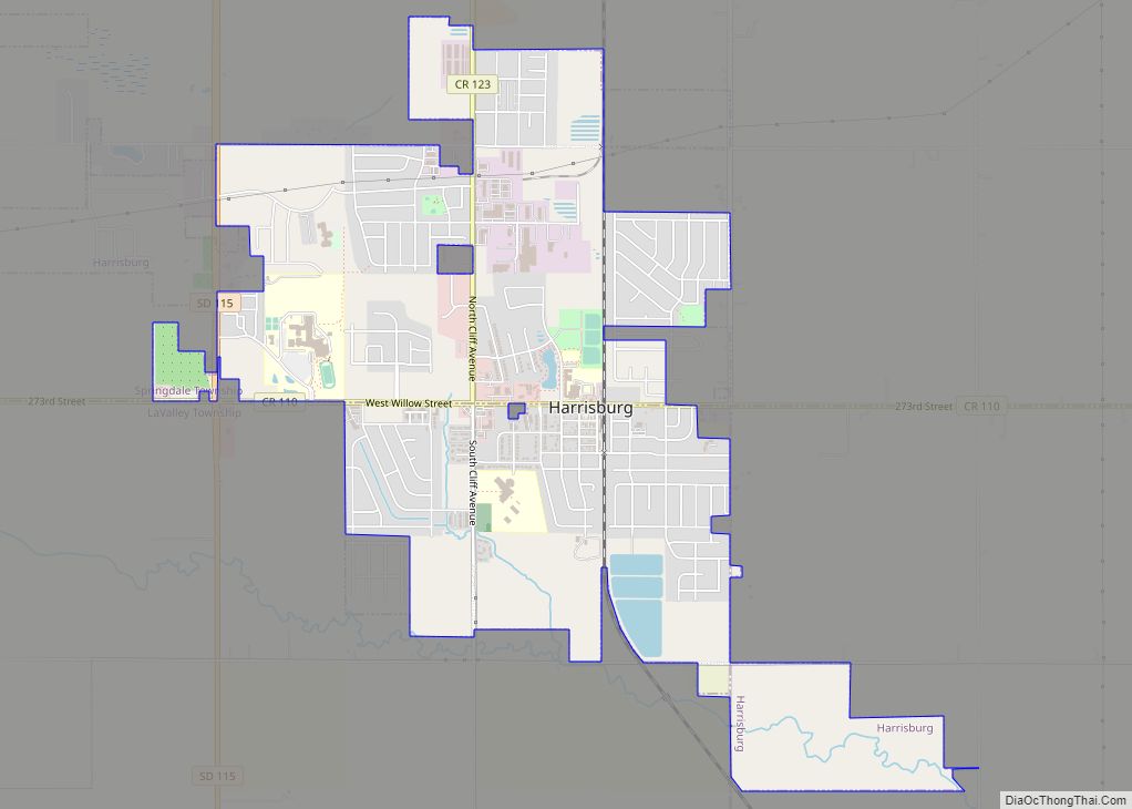
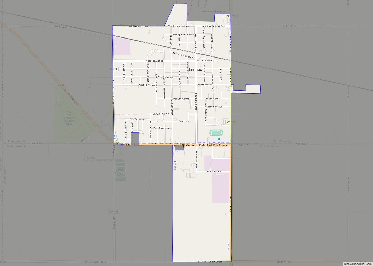
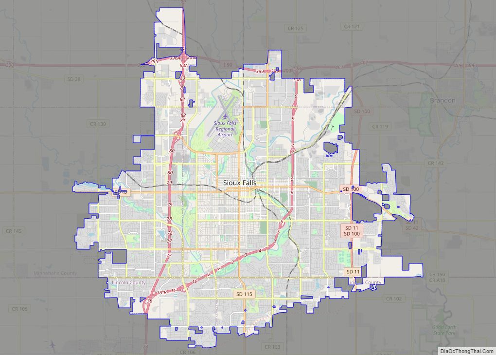
Canton is part of the Sioux Falls Metropolitan Statistical Area that consists of four counties, all of which are located in South Dakota: Lincoln, McCook, Minnehaha, and Turner. The estimated population of this MSA in 2008 was 232,930, an increase of over 24% from the 2000 census. According to recent estimates, Lincoln County, which Canton is the County Seat, is the ninth fastest-growing county (by percentage) in the United States. In addition to Canton, several cities and towns included in the metropolitan area are Sioux Falls, Brandon, Dell Rapids, Tea, Harrisburg, Worthing, Beresford, Lennox, Hartford, Crooks, Baltic, Montrose, Salem, Renner, Chancellor, Colton, Humboldt, Parker, Hurley, Garretson, Sherman, Corson, and Centerville.
Parks and recreation
Newton Hills State Park, located six miles south of Canton, offers camping and picnicking, as well as horseback riding, nature trails and cross country skiing throughout the park. Canton hosts many recreation festivals and events. The summer starts with the Optimist Youth Days Carnival in June. An annual Car Show is held each year in the end of July along with other weekend festivities held in the park. The Big Sioux River Folk Festival in August attracts approximately 5,000 each year. The summer ends with the 4-H Achievement Days held on the 4-H grounds behind the hospital. The winter event hosted by the Canton Chamber of Commerce is the annual Christmas Parade and Visit with Santa in December. Canton also has a 9-hole golf course with a club house, a community pool, and seven area parks. Canton has many active community organizations that include: Masons, Greig Male Chorus, Lions Club, Rotary Club, Booster Club, Red Hat Society, PEO Sisterhood, Questers, Chamber of Commerce, Economic Development Corporation, Ministerial Association, Sons of Norway, Optimists Club, Love, INC., Historical Society, Grand Valley Rural School Historical Society, Junior Cheerleading, Boys and Girls Scouts, Boys and Girls Youth Softball, Youth Football and Baseball, Youth and Adult Bowling Leagues, 4-H Club, Retired Seniors Volunteer Program (RSVP), Garden Club, Meals on Wheels, Gun Club, Ducks Unlimited and an active VFW.
See also
Map of South Dakota State and its subdivision:- Aurora
- Beadle
- Bennett
- Bon Homme
- Brookings
- Brown
- Brule
- Buffalo
- Butte
- Campbell
- Charles Mix
- Clark
- Clay
- Codington
- Corson
- Custer
- Davison
- Day
- Deuel
- Dewey
- Douglas
- Edmunds
- Fall River
- Faulk
- Grant
- Gregory
- Haakon
- Hamlin
- Hand
- Hanson
- Harding
- Hughes
- Hutchinson
- Hyde
- Jackson
- Jerauld
- Jones
- Kingsbury
- Lake
- Lawrence
- Lincoln
- Lyman
- Marshall
- McCook
- McPherson
- Meade
- Mellette
- Miner
- Minnehaha
- Moody
- Pennington
- Perkins
- Potter
- Roberts
- Sanborn
- Shannon
- Spink
- Stanley
- Sully
- Todd
- Tripp
- Turner
- Union
- Walworth
- Yankton
- Ziebach
- Alabama
- Alaska
- Arizona
- Arkansas
- California
- Colorado
- Connecticut
- Delaware
- District of Columbia
- Florida
- Georgia
- Hawaii
- Idaho
- Illinois
- Indiana
- Iowa
- Kansas
- Kentucky
- Louisiana
- Maine
- Maryland
- Massachusetts
- Michigan
- Minnesota
- Mississippi
- Missouri
- Montana
- Nebraska
- Nevada
- New Hampshire
- New Jersey
- New Mexico
- New York
- North Carolina
- North Dakota
- Ohio
- Oklahoma
- Oregon
- Pennsylvania
- Rhode Island
- South Carolina
- South Dakota
- Tennessee
- Texas
- Utah
- Vermont
- Virginia
- Washington
- West Virginia
- Wisconsin
- Wyoming