Map of Chancellor town

Map of Chancellor town

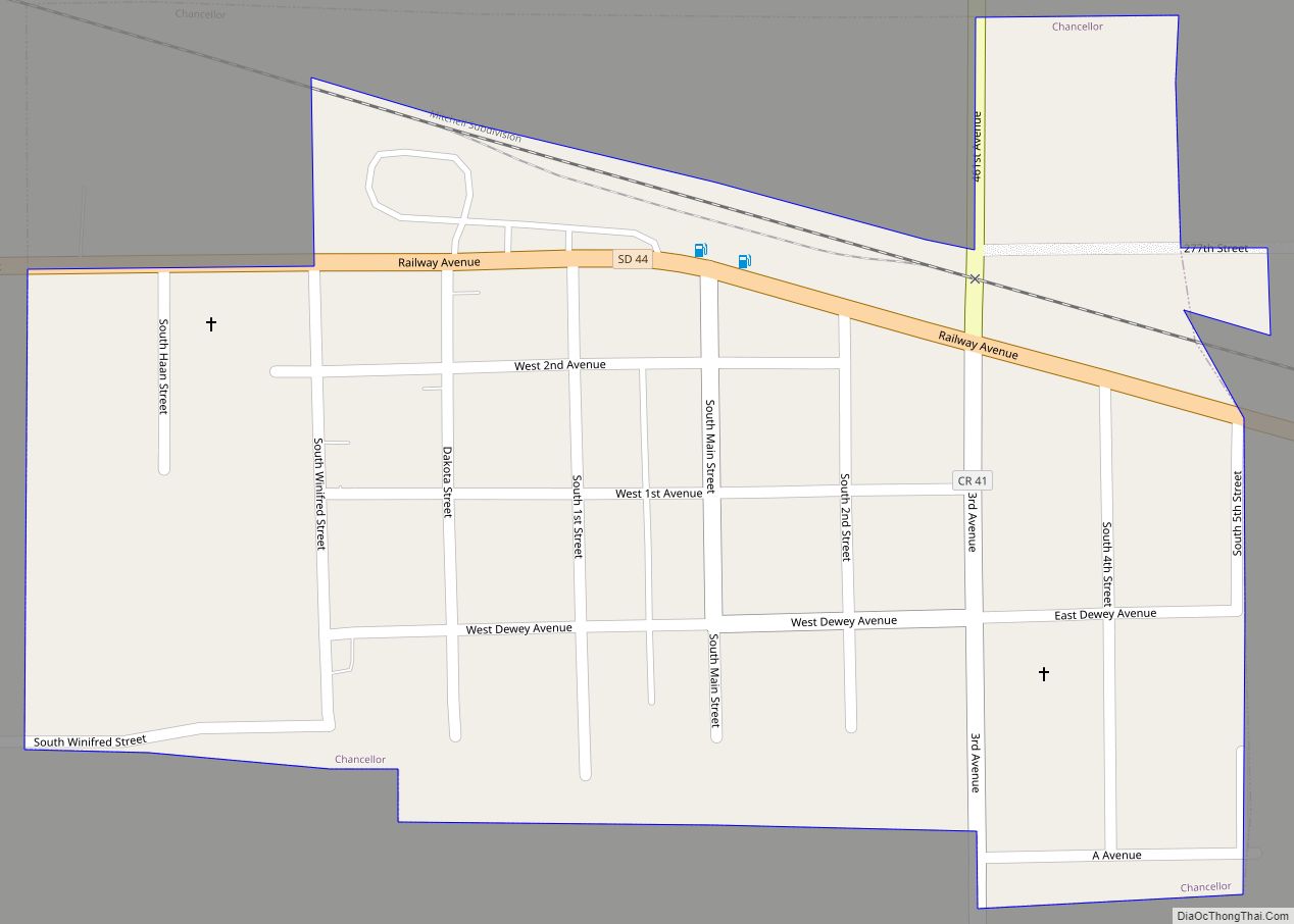
Chancellor is a town in Turner County, South Dakota, United States. The population was 300 at the 2020 census. The community was named for Otto von Bismarck, Chancellor of the German Empire. Chancellor town overview: Name: Chancellor town LSAD Code: 43 LSAD Description: town (suffix) State: South Dakota County: Turner County Founded: 1895 Elevation: 1,362 ft … Read more

Map of Colton city, South Dakota

Map of Colton city, South Dakota

Colton is a city in Minnehaha County, South Dakota, United States. The population was 738 at the 2020 census. Colton has the name of J. E. Colton, a railroad official. Colton city overview: Name: Colton city LSAD Code: 25 LSAD Description: city (suffix) State: South Dakota County: Minnehaha County Incorporated: 1904 Elevation: 1,604 ft (489 m) Total … Read more

Map of Crocker CDP, South Dakota

Map of Crocker CDP, South Dakota

Crocker is an unincorporated community and census-designated place (CDP) in Clark County, South Dakota, United States. The population was 19 at the 2020 census. Crocker was laid out in 1906. Crocker CDP overview: Name: Crocker CDP LSAD Code: 57 LSAD Description: CDP (suffix) State: South Dakota County: Clark County Elevation: 1,790 ft (550 m) Total Area: 3.93 sq mi … Read more

Map of Cresbard town

Map of Cresbard town

Cresbard is a town in Faulk County, South Dakota, United States. The population was 96 at the 2020 census. Cresbard town overview: Name: Cresbard town LSAD Code: 43 LSAD Description: town (suffix) State: South Dakota County: Faulk County Incorporated: 1909 Elevation: 1,450 ft (442 m) Total Area: 0.42 sq mi (1.08 km²) Land Area: 0.41 sq mi (1.07 km²) Water Area: 0.00 sq mi (0.01 km²) … Read more

Map of Cow Creek CDP

Map of Cow Creek CDP

Cow Creek is an unincorporated community and census-designated place in Sully County, South Dakota, United States. Its population was 30 as of the 2010 census. The community is located on the eastern shore of Lake Oahe. Cow Creek CDP overview: Name: Cow Creek CDP LSAD Code: 57 LSAD Description: CDP (suffix) State: South Dakota County: … Read more

Map of Cottonwood town, South Dakota

Map of Cottonwood town, South Dakota

Cottonwood is a town in Jackson County, South Dakota, United States. The population was 12 at the 2020 census. Cottonwood town overview: Name: Cottonwood town LSAD Code: 43 LSAD Description: town (suffix) State: South Dakota County: Jackson County Incorporated: 1906 Elevation: 2,421 ft (738 m) Total Area: 0.92 sq mi (2.38 km²) Land Area: 0.92 sq mi (2.38 km²) Water Area: 0.00 sq mi (0.00 km²) … Read more

Map of Corsica city, South Dakota

Map of Corsica city, South Dakota

Corsica is a city in Douglas County, South Dakota, United States. The population was 561 at the 2020 census. Corsica city overview: Name: Corsica city LSAD Code: 25 LSAD Description: city (suffix) State: South Dakota County: Douglas County Incorporated: 1905 Elevation: 1,562 ft (476 m) Total Area: 0.84 sq mi (2.18 km²) Land Area: 0.84 sq mi (2.17 km²) Water Area: 0.01 sq mi (0.01 km²) … Read more

Map of Corona town, South Dakota

Map of Corona town, South Dakota

Corona is a town in Roberts County, South Dakota, United States. The population was 69 at the 2020 census. Corona town overview: Name: Corona town LSAD Code: 43 LSAD Description: town (suffix) State: South Dakota County: Roberts County Elevation: 1,168 ft (356 m) Total Area: 0.25 sq mi (0.66 km²) Land Area: 0.25 sq mi (0.66 km²) Water Area: 0.00 sq mi (0.00 km²) Total Population: … Read more

Map of Corn Creek CDP

Map of Corn Creek CDP

Corn Creek is an unincorporated community and census-designated place in Mellette County, South Dakota, United States. Its population was 113 as of the 2020 census. The community is located near the intersection of South Dakota Highway 44 and South Dakota Highway 63. Corn Creek CDP overview: Name: Corn Creek CDP LSAD Code: 57 LSAD Description: … Read more

Map of Conde city

Map of Conde city

Conde is a city in Spink County, South Dakota, United States. The population was 142 at the 2020 census. Conde city overview: Name: Conde city LSAD Code: 25 LSAD Description: city (suffix) State: South Dakota County: Spink County Incorporated: 1909 Elevation: 1,322 ft (403 m) Total Area: 0.56 sq mi (1.46 km²) Land Area: 0.56 sq mi (1.46 km²) Water Area: 0.00 sq mi (0.00 km²) … Read more

Map of Columbia city, South Dakota

Map of Columbia city, South Dakota

Columbia is a city on the James River in Brown County, South Dakota, United States. The population was 160 at the 2020 census. Columbia city overview: Name: Columbia city LSAD Code: 25 LSAD Description: city (suffix) State: South Dakota County: Brown County Incorporated: 1885 Elevation: 1,302 ft (397 m) Total Area: 1.52 sq mi (3.93 km²) Land Area: 1.52 sq mi (3.93 km²) … Read more

Map of De Smet city, South Dakota

Map of De Smet city, South Dakota

De Smet is a city in and the county seat of Kingsbury County, South Dakota, United States. The population was 1,089 at the 2010 census. De Smet city overview: Name: De Smet city LSAD Code: 25 LSAD Description: city (suffix) State: South Dakota County: Kingsbury County Founded: 1880 Incorporated: 1883 Elevation: 1,726 ft (526 m) Total Area: … Read more