Map of Riviera CDP

Map of Riviera CDP

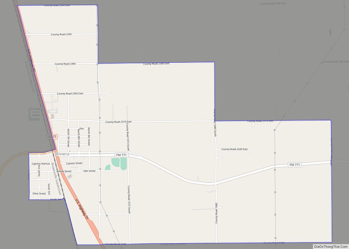
Riviera is a census-designated place and unincorporated community in Kleberg County, Texas, United States. As of the 2010 census it had a population of 689. It is located 15 miles (24 km) south of Kingsville on U.S. Route 77 (Future Interstate 69E) and 22 miles (35 km) northeast of Falfurrias on Texas State Highway 285. Riviera CDP … Read more

Map of Riverside city, Texas

Map of Riverside city, Texas

Riverside is a small city in Walker County, Texas, United States. The population was 522 at the 2020 census. Two famous natives of Riverside are the singer-actress Jennifer Holliday (born 1960), who is best known for her creation of the role of Effie in the successful Tony-award-winning Broadway musical “Dreamgirls”, and Eugene C. Barker, a … Read more

Map of Rivereno CDP

Map of Rivereno CDP

Rivereno is a census-designated place (CDP) in Starr County, Texas, United States. This was a new CDP for the 2010 census with a population of 61. Rivereno CDP overview: Name: Rivereno CDP LSAD Code: 57 LSAD Description: CDP (suffix) State: Texas County: Starr County Total Area: 61 FIPS code: 4862318 Online Interactive Map Rivereno online … Read more

Map of River Oaks city

Map of River Oaks city

River Oaks is a city in Tarrant County, Texas, United States. Its population was 7,427 at the 2010 census. River Oaks city overview: Name: River Oaks city LSAD Code: 25 LSAD Description: city (suffix) State: Texas County: Tarrant County Elevation: 600 ft (183 m) Total Area: 2.02 sq mi (5.23 km²) Land Area: 2.02 sq mi (5.23 km²) Water Area: 0.00 sq mi (0.00 km²) Total … Read more

Map of Rising Star town

Map of Rising Star town

Rising Star is a town in Eastland County, Texas, United States. Its population as of the 2010 census was 835. Rising Star town overview: Name: Rising Star town LSAD Code: 43 LSAD Description: town (suffix) State: Texas County: Eastland County Elevation: 1,624 ft (495 m) Total Area: 1.73 sq mi (4.47 km²) Land Area: 1.73 sq mi (4.47 km²) Water Area: 0.00 sq mi (0.00 km²) … Read more

Map of Rio Vista city, Texas

Map of Rio Vista city, Texas

Rio Vista is a city in Johnson County, Texas, United States. The population was 1,008 in 2020. Rio Vista city overview: Name: Rio Vista city LSAD Code: 25 LSAD Description: city (suffix) State: Texas County: Johnson County Elevation: 732 ft (223 m) Total Area: 1.06 sq mi (2.74 km²) Land Area: 1.05 sq mi (2.73 km²) Water Area: 0.00 sq mi (0.01 km²) Total Population: 873 … Read more

Map of Rio Hondo city

Map of Rio Hondo city

Rio Hondo is a city in Cameron County, Texas, United States. The population was 2,356 at the 2010 census. It may be included as part of the Brownsville–Harlingen–Raymondville and the Matamoros–Brownsville metropolitan areas. Rio Hondo city overview: Name: Rio Hondo city LSAD Code: 25 LSAD Description: city (suffix) State: Texas County: Cameron County Elevation: 26 ft … Read more

Map of Robert Lee city

Map of Robert Lee city

Robert Lee is a city in and the county seat of Coke County, Texas, United States. The population was 1,049 at the 2010 census. Robert Lee city overview: Name: Robert Lee city LSAD Code: 25 LSAD Description: city (suffix) State: Texas County: Coke County Elevation: 1,827 ft (557 m) Total Area: 1.15 sq mi (2.98 km²) Land Area: 1.14 sq mi (2.95 km²) … Read more

Map of Rogers town, Texas

Map of Rogers town, Texas

Rogers is a town in Bell County, Texas, United States. The population was 1,113 at the 2020 census. It is part of the Killeen-Temple-Fort Hood metropolitan area. Rogers town overview: Name: Rogers town LSAD Code: 43 LSAD Description: town (suffix) State: Texas County: Bell County Elevation: 545 ft (166 m) Total Area: 1.06 sq mi (2.75 km²) Land Area: 1.03 sq mi … Read more

Map of Rocky Mound town

Map of Rocky Mound town

Rocky Mound is a town in Camp County, Texas, United States. The population was 75 at the 2010 census, down from 93 at the 2000 census; in 2020, its population increased to 78. Rocky Mound town overview: Name: Rocky Mound town LSAD Code: 43 LSAD Description: town (suffix) State: Texas County: Camp County Elevation: 430 ft … Read more

Map of Rockwall city

Map of Rockwall city

Rockwall is a city in Rockwall County, Texas, United States, which is part of the Dallas/Fort Worth metroplex. It is the county seat of Rockwall County. The U.S. Census Bureau estimates that as of the 2020 census, Rockwall’s population is 47,251, up from 45,888 in 2019. The name Rockwall is derived from a naturally jointed … Read more

Map of Rocksprings town

Map of Rocksprings town

Rocksprings is a town in Edwards County, Texas, in the United States. As of the 2010 census, the town population was 1,182, down from 1,285 at the 2000 census. It is the county seat of Edwards County. The town received its name from natural springs associated with the porous limestone rocks in the area. Rocksprings … Read more