Map of San Carlos I CDP

Map of San Carlos I CDP

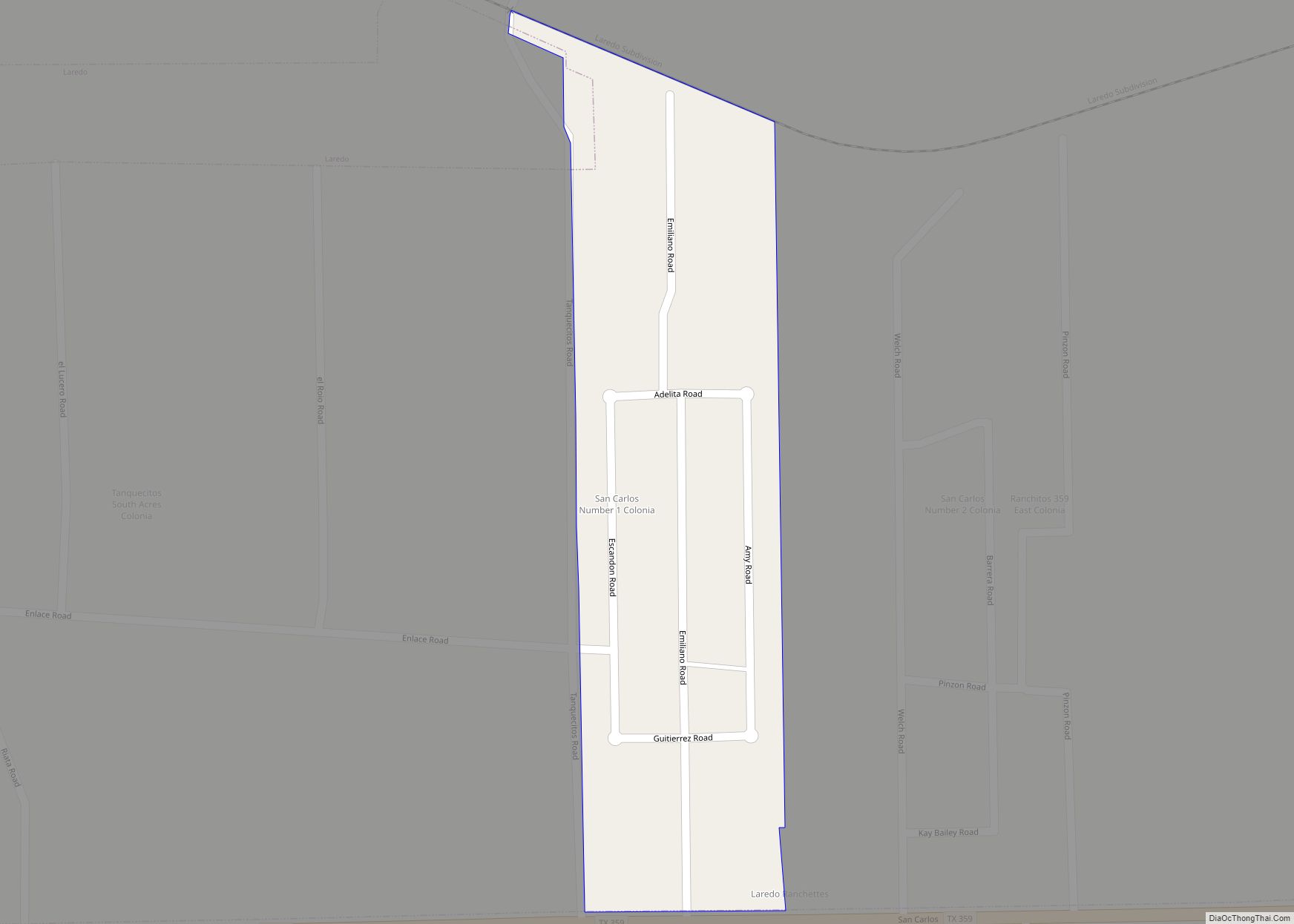
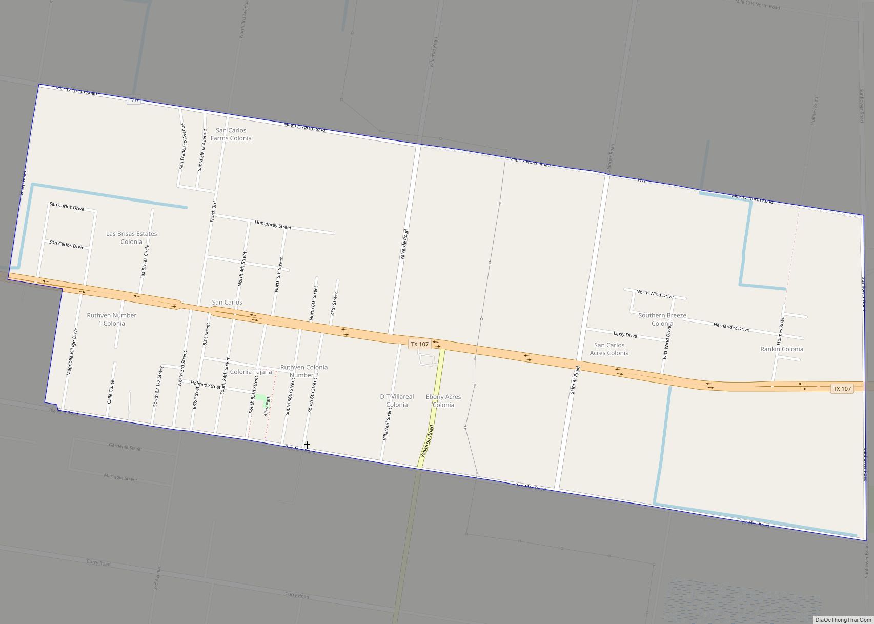
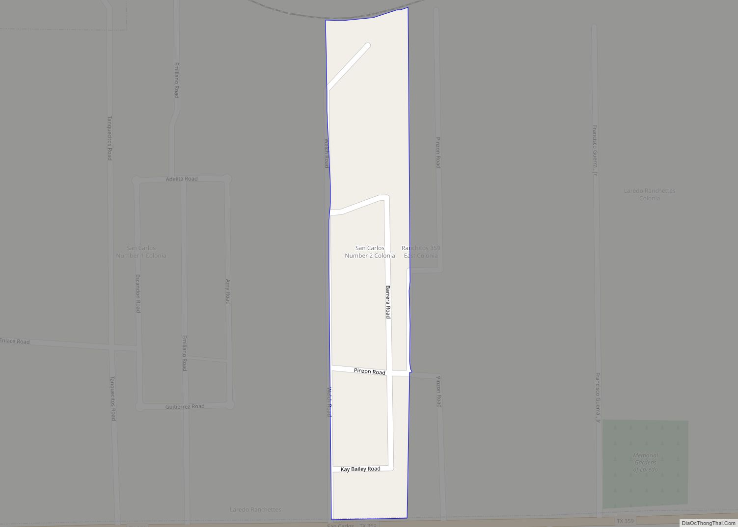
San Carlos I is a census-designated place (CDP) in Webb County, Texas, United States. This was a new CDP formed from parts of the Laredo Ranchettes CDP prior to the 2010 census with a population of 316. It is one of several colonias in Webb County. San Carlos I CDP overview: Name: San Carlos I … Read more

Map of San Benito city

Map of San Benito city

San Benito is a city in Cameron County, Texas, United States. Its population was 24,250 at the 2010 census. On April 3, 2007, San Benito celebrated the 100th anniversary of its naming. The post office was named “Diaz” from April to May 1907. The San Benito Museum, Freddy Fender Museum, and Conjunto Music Museum opened … Read more

Map of San Augustine city

Map of San Augustine city

San Augustine is the county seat city of San Augustine County, Texas, in East Texas, United States. The population was 1,920 at the 2020 census. San Augustine city overview: Name: San Augustine city LSAD Code: 25 LSAD Description: city (suffix) State: Texas County: San Augustine County Elevation: 371 ft (113 m) Total Area: 4.80 sq mi (12.44 km²) Land Area: … Read more

Map of San Angelo city

Map of San Angelo city

San Angelo (/sæn ˈændʒəloʊ/ SAN AN-jə-loh) is a city in and the county seat of Tom Green County, Texas, United States. Its location is in the Concho Valley, a region of Central Texas between the Permian Basin to the northwest, Chihuahuan Desert to the southwest, Osage Plains to the northeast, and Central Texas to the … Read more

Map of Samnorwood CDP

Map of Samnorwood CDP

Samnorwood is a census-designated place (CDP) in Collingsworth County, Texas, United States. It was designated in or after 1980. The population was 51 at the 2010 census, up from 39 at the 2000 census. The hamlet of Samnorwood, for which the CDP was named, is located within the CDP. Samnorwood CDP overview: Name: Samnorwood CDP … Read more

Map of Sammy Martinez CDP

Map of Sammy Martinez CDP

Sammy Martinez is a census-designated place (CDP) in Starr County, Texas, United States. This was a new CDP for the 2010 census with a population of 110. Sammy Martinez CDP overview: Name: Sammy Martinez CDP LSAD Code: 57 LSAD Description: CDP (suffix) State: Texas County: Starr County Total Area: 0.3 sq mi (0.8 km²) Land Area: 0.3 sq mi (0.8 km²) … Read more

Map of Sam Rayburn CDP

Map of Sam Rayburn CDP

Sam Rayburn is a census-designated place and unincorporated community in Jasper County, Texas, United States. Its population was 1,273 as of the 2020 census. The community, which is also known as Rayburn Country, is located on the south shore of the Sam Rayburn Reservoir at the junction of Texas Recreational Road 255 and Farm to … Read more

Map of San Diego city, Texas

Map of San Diego city, Texas

San Diego is a city in Duval and Jim Wells counties, Texas, United States. The population was 3,748 at the 2020 census and 4,488 at the 2010 census. It is located primarily in Duval County, of which it is the county seat. San Diego city overview: Name: San Diego city LSAD Code: 25 LSAD Description: … Read more

Map of San Carlos CDP, Texas

Map of San Carlos CDP, Texas

San Carlos is a community and census-designated place (CDP) in Hidalgo County, Texas. The population was 3,130 at the 2010 United States Census. It is part of the McAllen–Edinburg–Mission Metropolitan Statistical Area. San Carlos is located northeast of McAllen. San Carlos CDP overview: Name: San Carlos CDP LSAD Code: 57 LSAD Description: CDP (suffix) State: … Read more

Map of San Carlos II CDP

Map of San Carlos II CDP

San Carlos II is a census-designated place (CDP) in Webb County, Texas, United States. This was a new CDP formed from parts of the Laredo Ranchettes CDP prior to the 2010 census with a population of 261. It is one of several colonias in Webb County. San Carlos II CDP overview: Name: San Carlos II … Read more

Map of San Pedro CDP, Texas

Map of San Pedro CDP, Texas

San Pedro is a census-designated place (CDP) in Cameron County, Texas, United States. The population was 530 at the 2010 census. It is part of the Brownsville–Harlingen Metropolitan Statistical Area. San Pedro CDP overview: Name: San Pedro CDP LSAD Code: 57 LSAD Description: CDP (suffix) State: Texas County: Cameron County Elevation: 46 ft (14 m) Total Area: … Read more

Map of San Patricio city

Map of San Patricio city

San Patricio is a city in Nueces and San Patricio counties in the U.S. state of Texas. The population was 384 at the 2020 census. San Patricio city overview: Name: San Patricio city LSAD Code: 25 LSAD Description: city (suffix) State: Texas County: San Patricio County Elevation: 43 ft (13 m) Total Area: 3.89 sq mi (10.07 km²) Land Area: … Read more