San Patricio is a city in Nueces and San Patricio counties in the U.S. state of Texas. The population was 384 at the 2020 census.
| Name: | San Patricio city |
|---|---|
| LSAD Code: | 25 |
| LSAD Description: | city (suffix) |
| State: | Texas |
| County: | San Patricio County |
| Elevation: | 43 ft (13 m) |
| Total Area: | 3.89 sq mi (10.07 km²) |
| Land Area: | 3.85 sq mi (9.97 km²) |
| Water Area: | 0.04 sq mi (0.10 km²) |
| Total Population: | 384 |
| Population Density: | 97.45/sq mi (37.63/km²) |
| ZIP code: | 78368 |
| Area code: | 361 |
| FIPS code: | 4865612 |
| GNISfeature ID: | 1346436 |
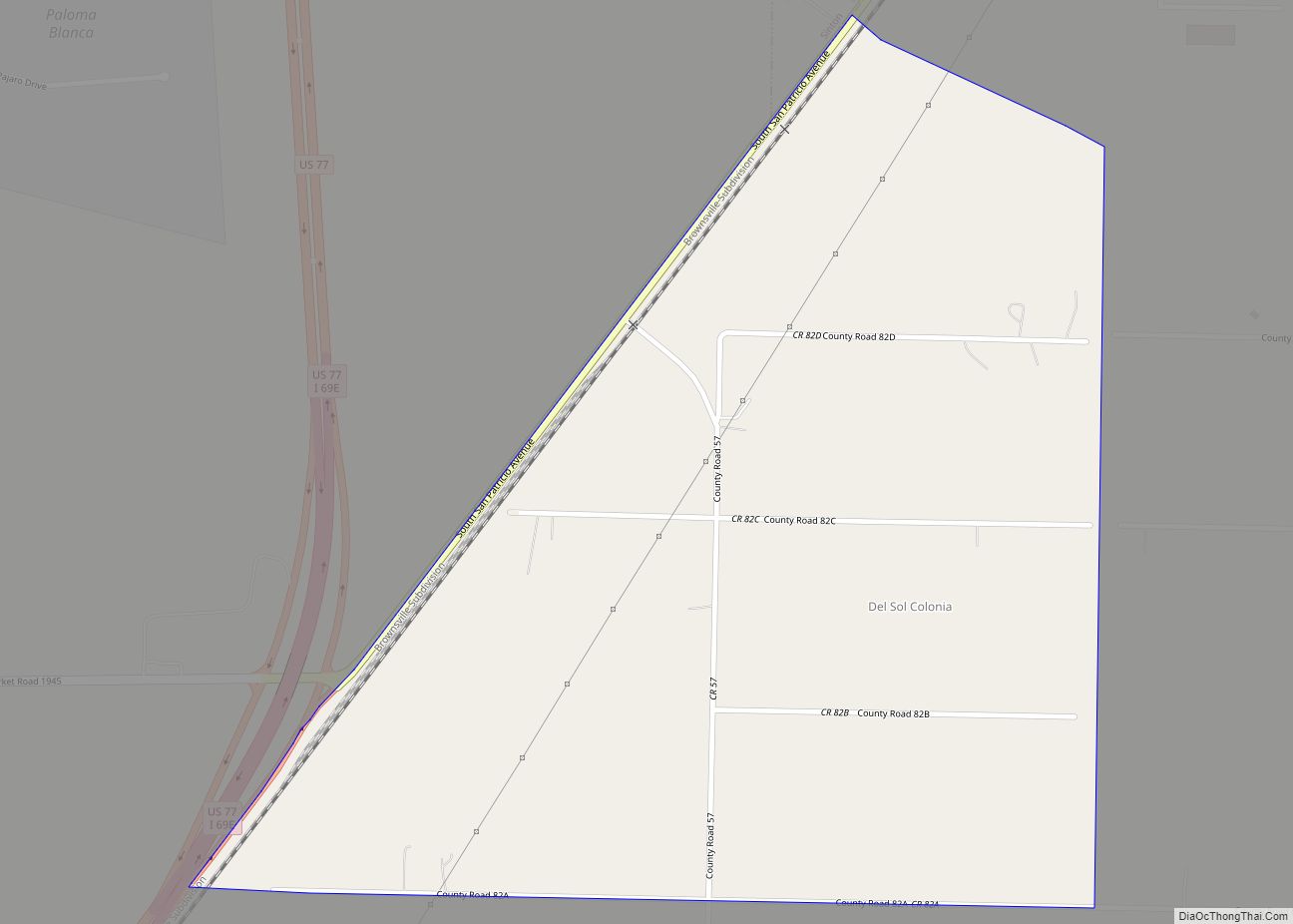
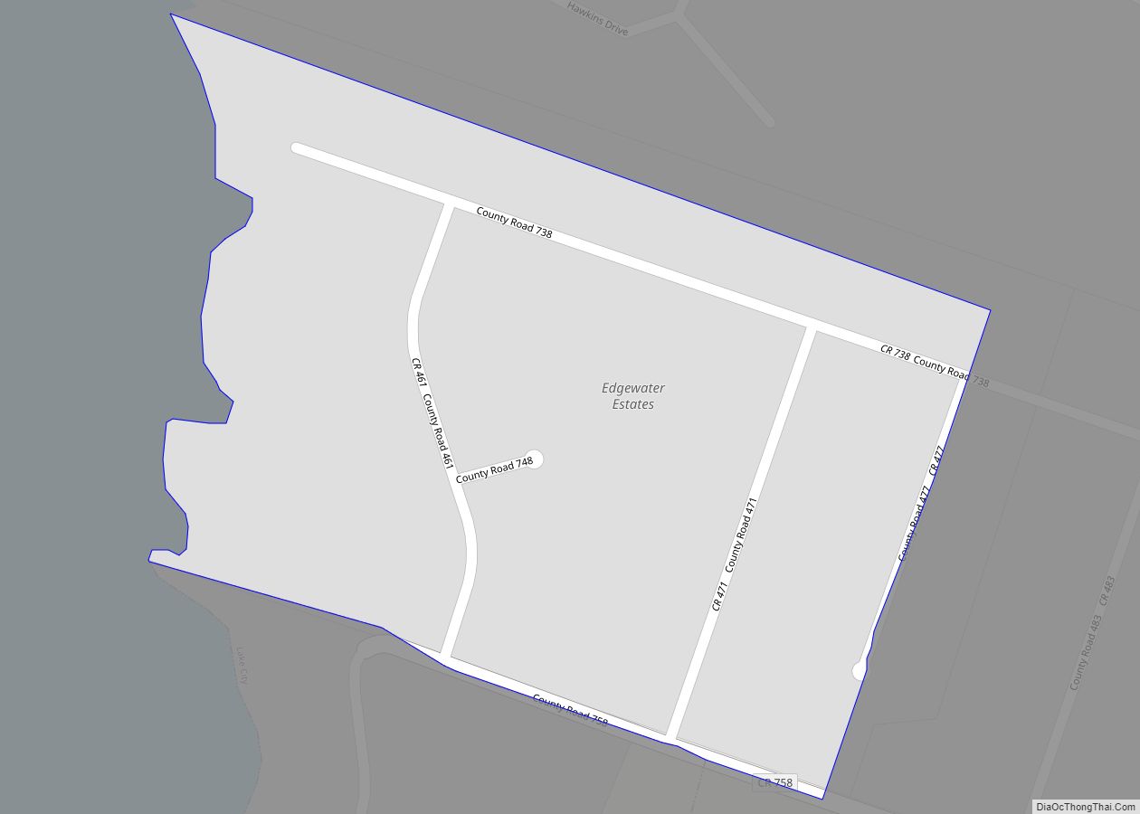
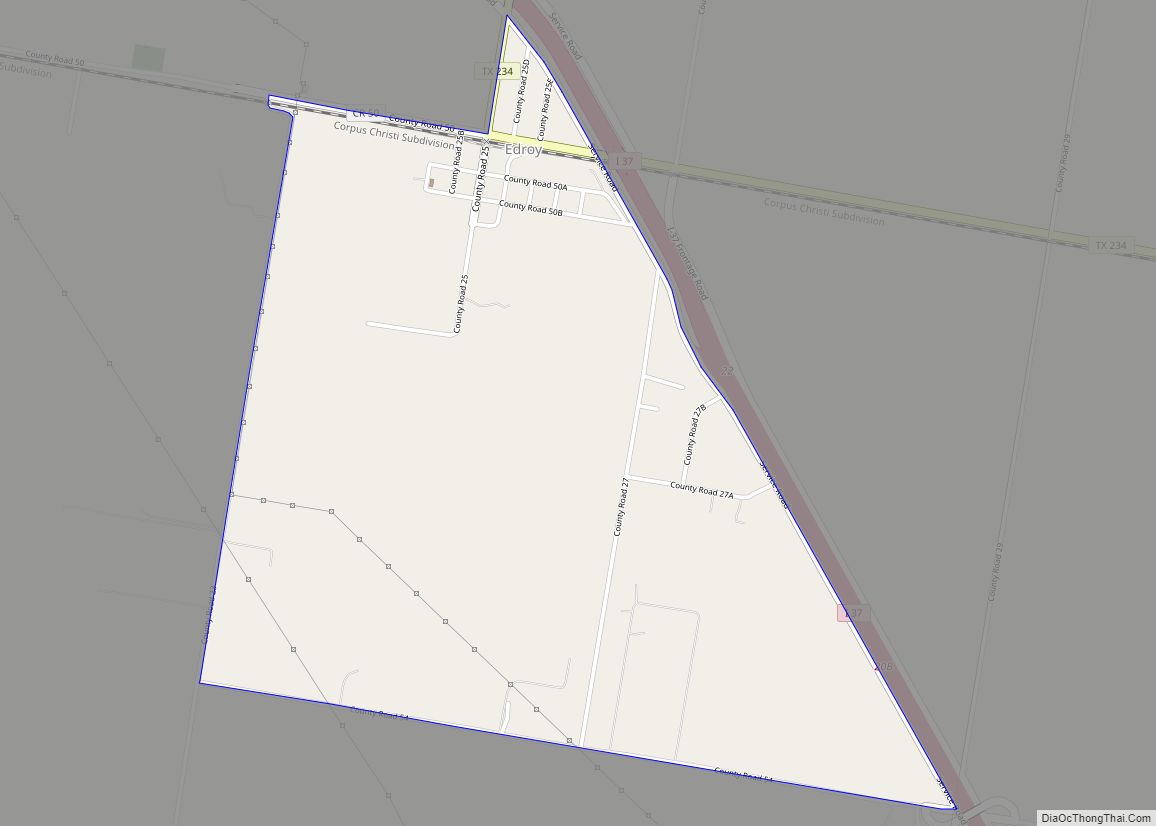
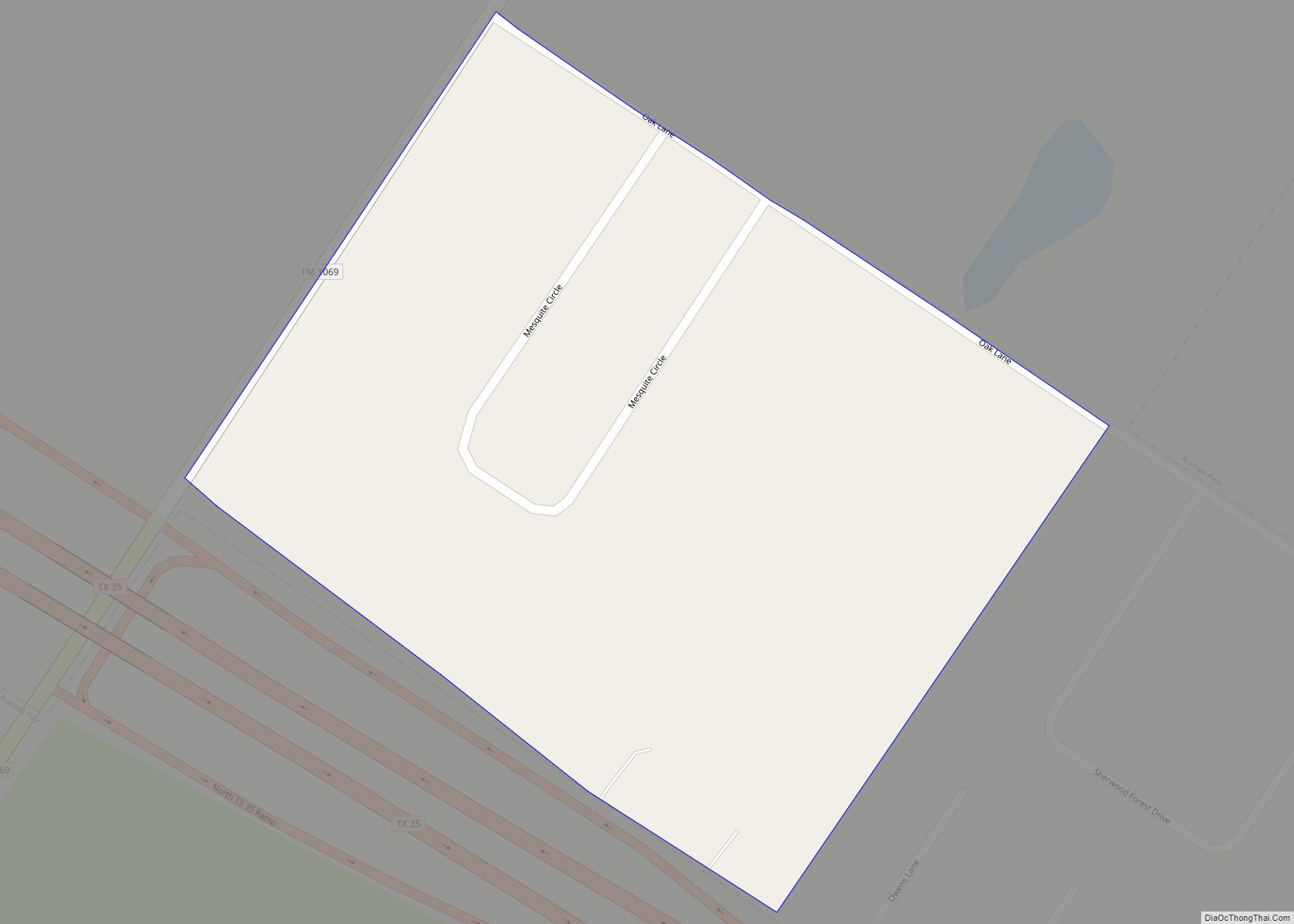
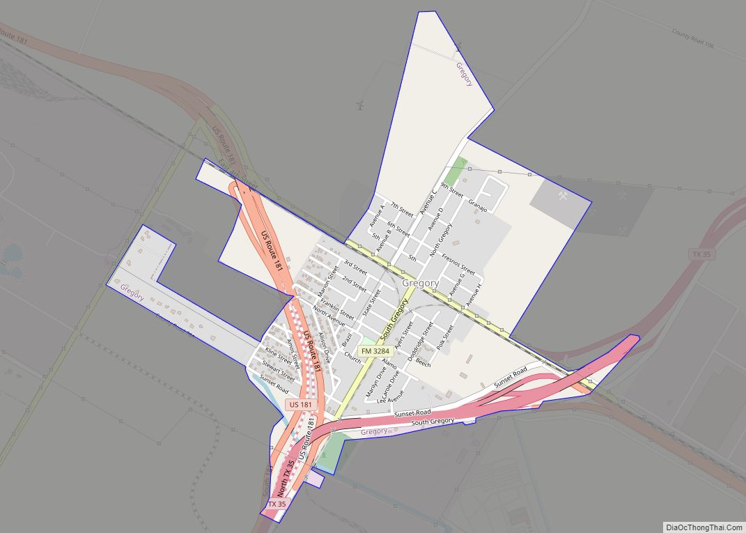
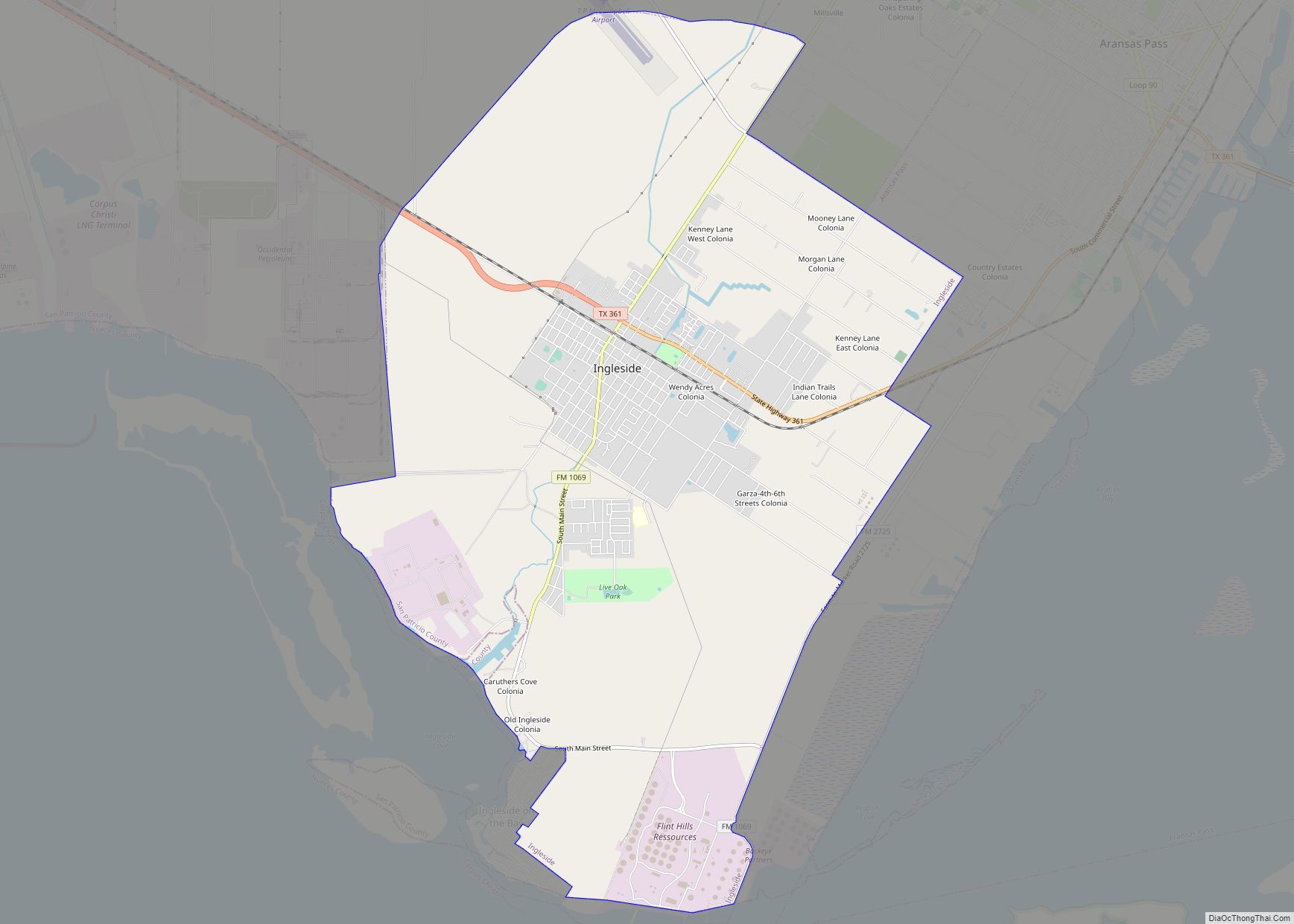
Online Interactive Map
Click on ![]() to view map in "full screen" mode.
to view map in "full screen" mode.
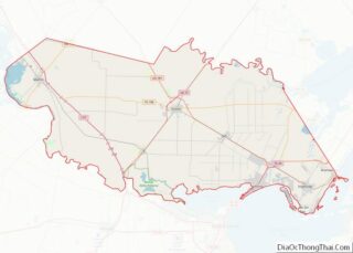
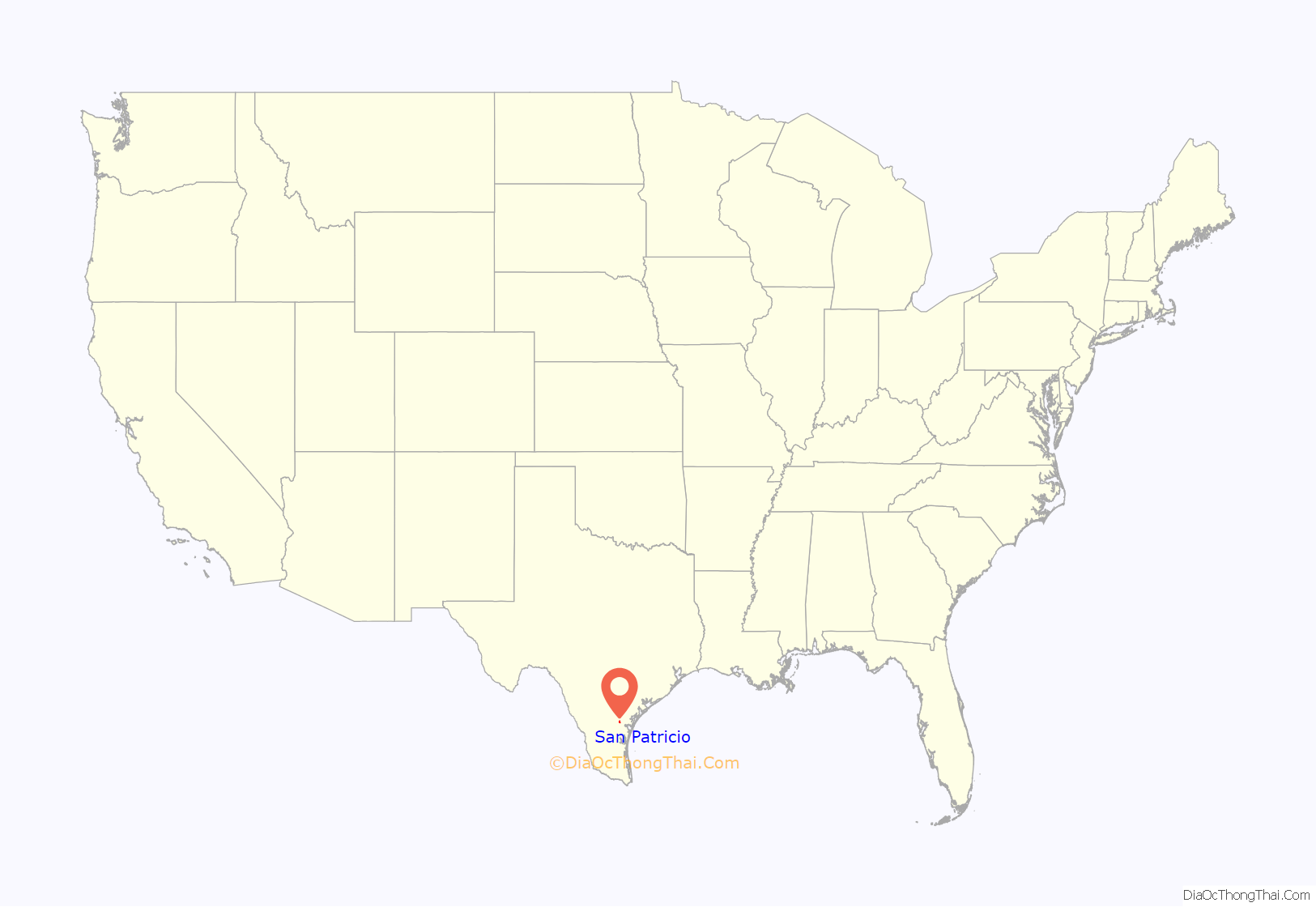
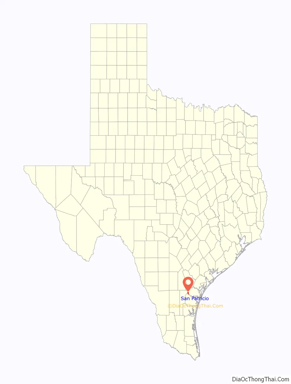
San Patricio location map. Where is San Patricio city?
History
The town was founded in 1829 by empresarios James McGloin and John McMullen. They had received approval from the Mexican government to settle 200 Irish Catholic families on the land—the name meaning Saint Patrick, the patron saint of Ireland. Empresario James Power was involved as well.
The Battle of San Patricio was fought near the town in 1836 during the Texas Revolution.
With the approval of the General Council, Texas revolutionaries James Grant, Frank W. Johnson and Robert C. Morris collaborated on plans to lead an assault on the Mexican town of Matamoros. Recruiting some 300 men, several of whom were native to San Antonio, they gathered provisions from the Alamo and Presidio La Bahia for their expedition. The men needed mounts for their long journey and divided into groups as they traveled toward the coast to capture wild horses.
On February 27, 1836, Mexican General José de Urrea’s advanced reconnaissance patrol discovered Frank W. Johnson and about 34 Texians camped at the abandoned Irish settlement of San Patricio. In a surprise attack at 3:30am, Mexican troops fired on the Texian Army and killed about 10 (7 of them Hispanics) and captured 18. Johnson and four others who were captured managed to escape and rejoin James Fannin’s command at Goliad. One man, Daniel J. Toler, escaped capture. The men killed were buried in the Old Cemetery on the Hill in San Patricio.
Grant and Morris’s party was also surprised by Urrea’s army as they camped at Agua Dulce Creek. On March 2, the Mexicans surprised them, killing both Grant and Morris and twelve others. The survivors were taken captured and imprisoned at Matamoros.
In 1846, San Patricio became the second county seat of San Patricio County after Nueces County was partitioned from San Patricio County. In 1893, the county seat was moved to Sinton.
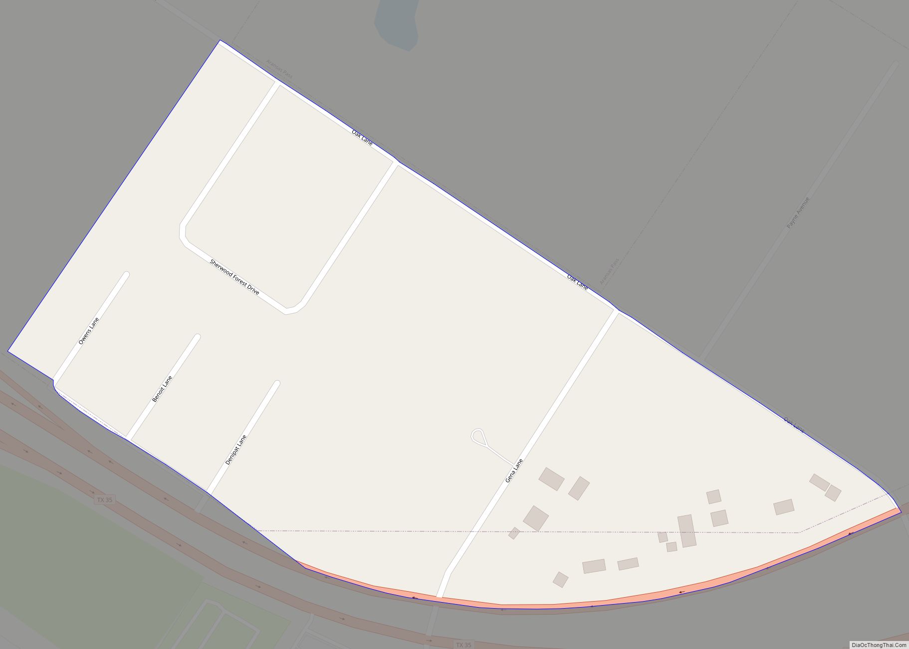
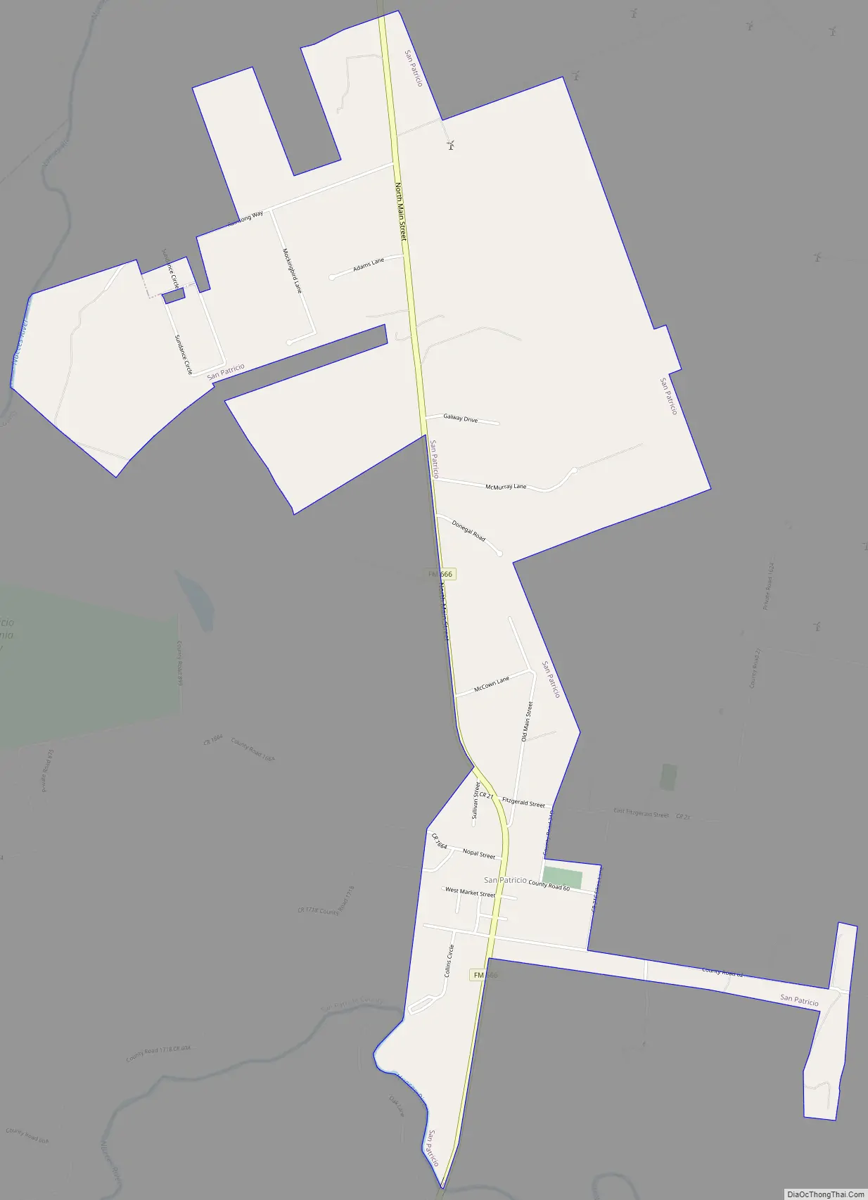
San Patricio Road Map
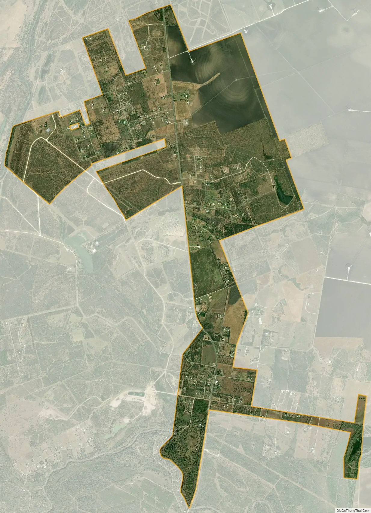
San Patricio city Satellite Map
Geography
According to the United States Census Bureau, San Patricio, located at 27°57′33″N 97°46′23″W / 27.95917°N 97.77306°W / 27.95917; -97.77306 (27.959196, -97.773134), has a total area of 3.9 square miles (10.0 km), of which 3.8 square miles (9.9 km) is land and 0.04 square mile (0.1 km) (1.03%) is water.
See also
Map of Texas State and its subdivision:- Anderson
- Andrews
- Angelina
- Aransas
- Archer
- Armstrong
- Atascosa
- Austin
- Bailey
- Bandera
- Bastrop
- Baylor
- Bee
- Bell
- Bexar
- Blanco
- Borden
- Bosque
- Bowie
- Brazoria
- Brazos
- Brewster
- Briscoe
- Brooks
- Brown
- Burleson
- Burnet
- Caldwell
- Calhoun
- Callahan
- Cameron
- Camp
- Carson
- Cass
- Castro
- Chambers
- Cherokee
- Childress
- Clay
- Cochran
- Coke
- Coleman
- Collin
- Collingsworth
- Colorado
- Comal
- Comanche
- Concho
- Cooke
- Coryell
- Cottle
- Crane
- Crockett
- Crosby
- Culberson
- Dallam
- Dallas
- Dawson
- Deaf Smith
- Delta
- Denton
- Dewitt
- Dickens
- Dimmit
- Donley
- Duval
- Eastland
- Ector
- Edwards
- El Paso
- Ellis
- Erath
- Falls
- Fannin
- Fayette
- Fisher
- Floyd
- Foard
- Fort Bend
- Franklin
- Freestone
- Frio
- Gaines
- Galveston
- Garza
- Gillespie
- Glasscock
- Goliad
- Gonzales
- Gray
- Grayson
- Gregg
- Grimes
- Guadalupe
- Hale
- Hall
- Hamilton
- Hansford
- Hardeman
- Hardin
- Harris
- Harrison
- Hartley
- Haskell
- Hays
- Hemphill
- Henderson
- Hidalgo
- Hill
- Hockley
- Hood
- Hopkins
- Houston
- Howard
- Hudspeth
- Hunt
- Hutchinson
- Irion
- Jack
- Jackson
- Jasper
- Jeff Davis
- Jefferson
- Jim Hogg
- Jim Wells
- Johnson
- Jones
- Karnes
- Kaufman
- Kendall
- Kenedy
- Kent
- Kerr
- Kimble
- King
- Kinney
- Kleberg
- Knox
- La Salle
- Lamar
- Lamb
- Lampasas
- Lavaca
- Lee
- Leon
- Liberty
- Limestone
- Lipscomb
- Live Oak
- Llano
- Loving
- Lubbock
- Lynn
- Madison
- Marion
- Martin
- Mason
- Matagorda
- Maverick
- McCulloch
- McLennan
- McMullen
- Medina
- Menard
- Midland
- Milam
- Mills
- Mitchell
- Montague
- Montgomery
- Moore
- Morris
- Motley
- Nacogdoches
- Navarro
- Newton
- Nolan
- Nueces
- Ochiltree
- Oldham
- Orange
- Palo Pinto
- Panola
- Parker
- Parmer
- Pecos
- Polk
- Potter
- Presidio
- Rains
- Randall
- Reagan
- Real
- Red River
- Reeves
- Refugio
- Roberts
- Robertson
- Rockwall
- Runnels
- Rusk
- Sabine
- San Augustine
- San Jacinto
- San Patricio
- San Saba
- Schleicher
- Scurry
- Shackelford
- Shelby
- Sherman
- Smith
- Somervell
- Starr
- Stephens
- Sterling
- Stonewall
- Sutton
- Swisher
- Tarrant
- Taylor
- Terrell
- Terry
- Throckmorton
- Titus
- Tom Green
- Travis
- Trinity
- Tyler
- Upshur
- Upton
- Uvalde
- Val Verde
- Van Zandt
- Victoria
- Walker
- Waller
- Ward
- Washington
- Webb
- Wharton
- Wheeler
- Wichita
- Wilbarger
- Willacy
- Williamson
- Wilson
- Winkler
- Wise
- Wood
- Yoakum
- Young
- Zapata
- Zavala
- Alabama
- Alaska
- Arizona
- Arkansas
- California
- Colorado
- Connecticut
- Delaware
- District of Columbia
- Florida
- Georgia
- Hawaii
- Idaho
- Illinois
- Indiana
- Iowa
- Kansas
- Kentucky
- Louisiana
- Maine
- Maryland
- Massachusetts
- Michigan
- Minnesota
- Mississippi
- Missouri
- Montana
- Nebraska
- Nevada
- New Hampshire
- New Jersey
- New Mexico
- New York
- North Carolina
- North Dakota
- Ohio
- Oklahoma
- Oregon
- Pennsylvania
- Rhode Island
- South Carolina
- South Dakota
- Tennessee
- Texas
- Utah
- Vermont
- Virginia
- Washington
- West Virginia
- Wisconsin
- Wyoming