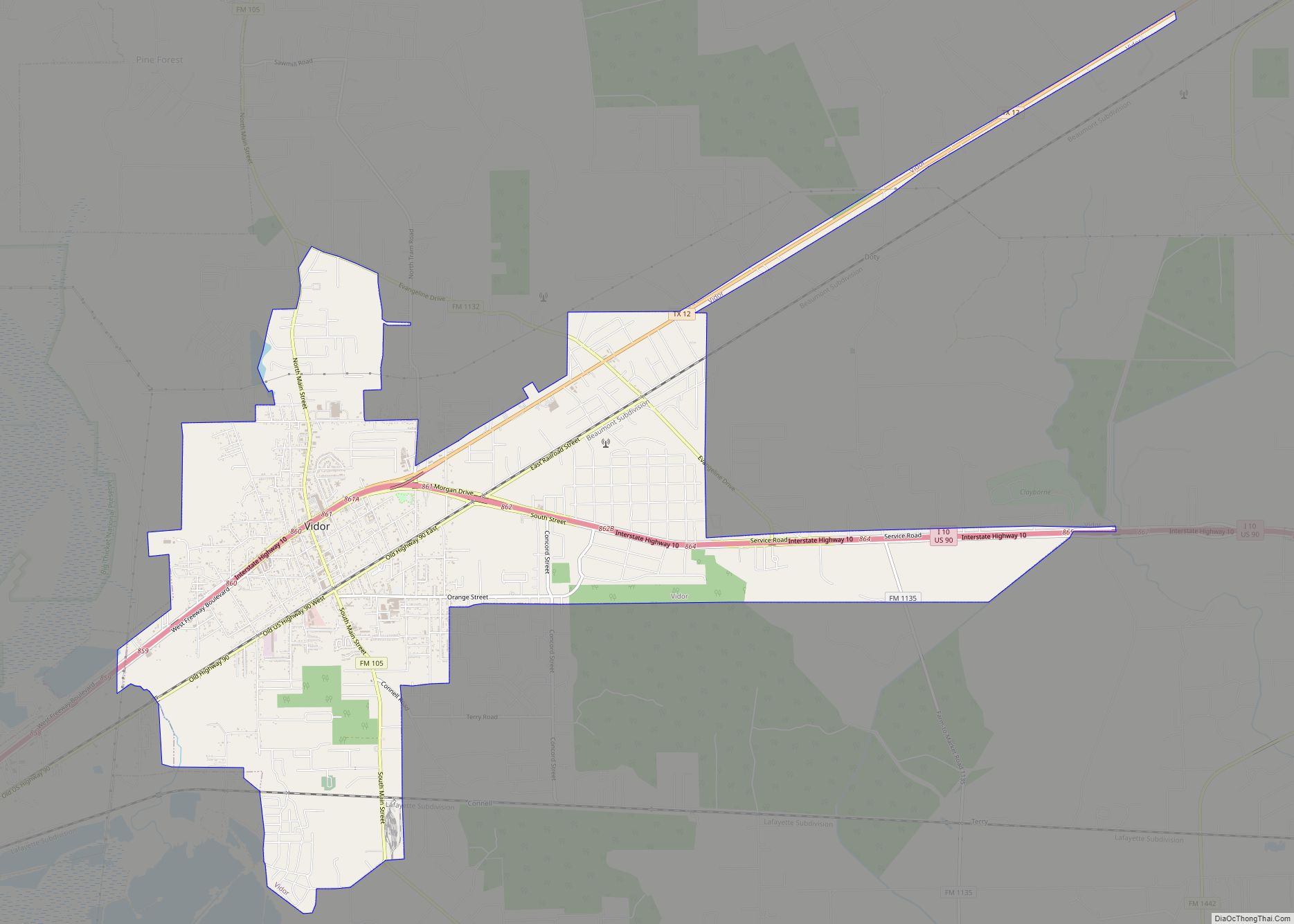
Vidor (/ˈvaɪdər/ VY-dər) is a city in western Orange County, Texas, United States. A city of Southeast Texas, it lies at the intersection of Interstate 10 and Farm to Market Road 105, 6 miles (9.7 km) east of Beaumont. The town is mainly a bedroom community for the nearby refining complexes in Beaumont and Port Arthur ... Read more
Texas Cities and Places
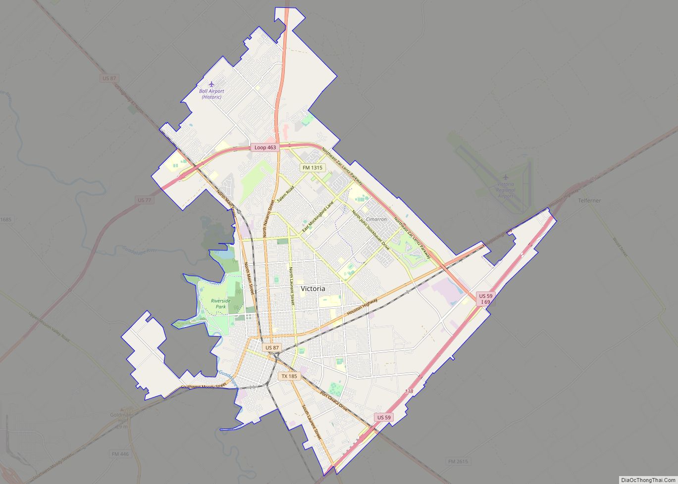
Victoria is a small city in South Texas and county seat of Victoria County, Texas. The population was 65,534 as of the 2020 census. The three counties of the Victoria Metropolitan Statistical Area had a population of 111,163 as of the 2000 census. Its elevation is 95 ft (29 m). Victoria is located 30 miles inland from ... Read more
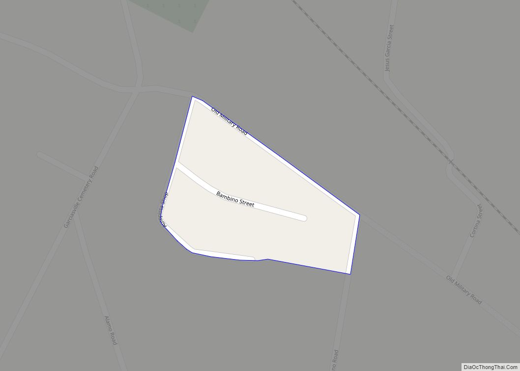
Victoria Vera is a census-designated place (CDP) in Starr County, Texas, United States. It is a new CDP formed from part of the former La Casita-Garciasville CDP prior to the 2010 census with a population of 110. Victoria Vera CDP overview: Name: Victoria Vera CDP LSAD Code: 57 LSAD Description: CDP (suffix) State: Texas County: ... Read more
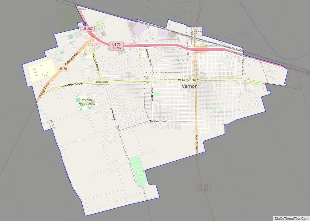
Vernon is a city and the county seat of Wilbarger County, Texas, United States. and as of the 2010 Census had a population of 11,002. Vernon city overview: Name: Vernon city LSAD Code: 25 LSAD Description: city (suffix) State: Texas County: Wilbarger County Elevation: 1,184 ft (361 m) Total Area: 7.90 sq mi (20.47 km²) Land Area: 7.89 sq mi (20.45 km²) Water ... Read more
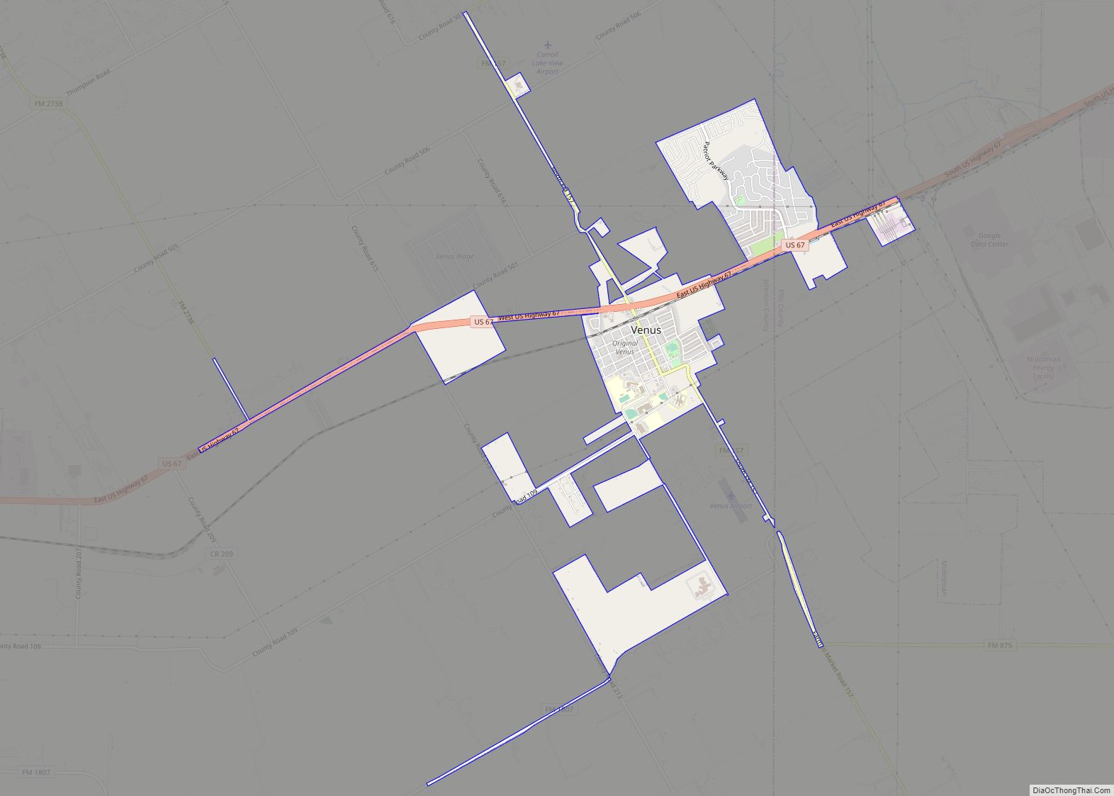
Venus is a town in Johnson and Ellis counties in the U.S. state of Texas. The population was 4,361 in 2020. Venus town overview: Name: Venus town LSAD Code: 43 LSAD Description: town (suffix) State: Texas County: Ellis County, Johnson County Elevation: 666 ft (203 m) Total Area: 3.10 sq mi (8.02 km²) Land Area: 3.10 sq mi (8.02 km²) Water Area: 0.00 sq mi ... Read more
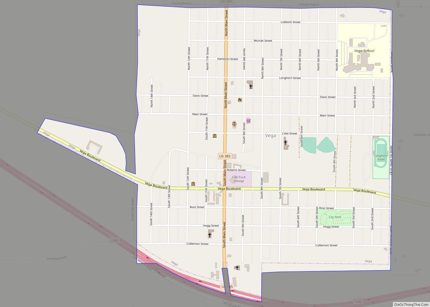
Vega is a city and county seat of Oldham County, Texas, United States. The population was 884 at the 2010 census, down from 936 at the 2000 census. Vega city overview: Name: Vega city LSAD Code: 25 LSAD Description: city (suffix) State: Texas County: Oldham County Elevation: 4,029 ft (1,228 m) Total Area: 1.34 sq mi (3.47 km²) Land Area: ... Read more
Villarreal is a census-designated place (CDP) in Starr County, Texas, United States. This was a new CDP for the 2010 census with a population of 131. Villarreal CDP overview: Name: Villarreal CDP LSAD Code: 57 LSAD Description: CDP (suffix) State: Texas County: Starr County Total Area: 0.1 sq mi (0.3 km²) Land Area: 0.1 sq mi (0.3 km²) Water Area: 0.0 sq mi ... Read more
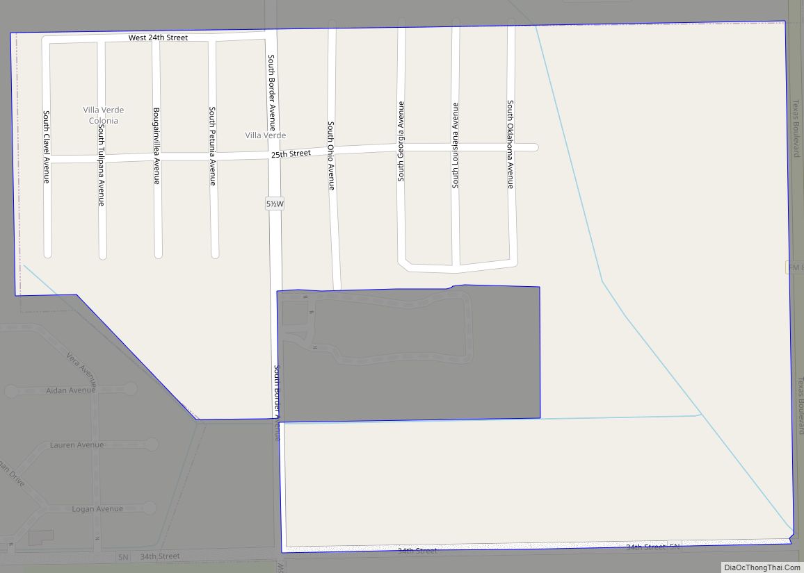
Villa Verde is a census-designated place (CDP) in Hidalgo County, Texas. The population was 874 at the 2010 United States Census. It is part of the McAllen–Edinburg–Mission Metropolitan Statistical Area. Villa Verde CDP overview: Name: Villa Verde CDP LSAD Code: 57 LSAD Description: CDP (suffix) State: Texas County: Hidalgo County Elevation: 75 ft (23 m) Total Area: ... Read more
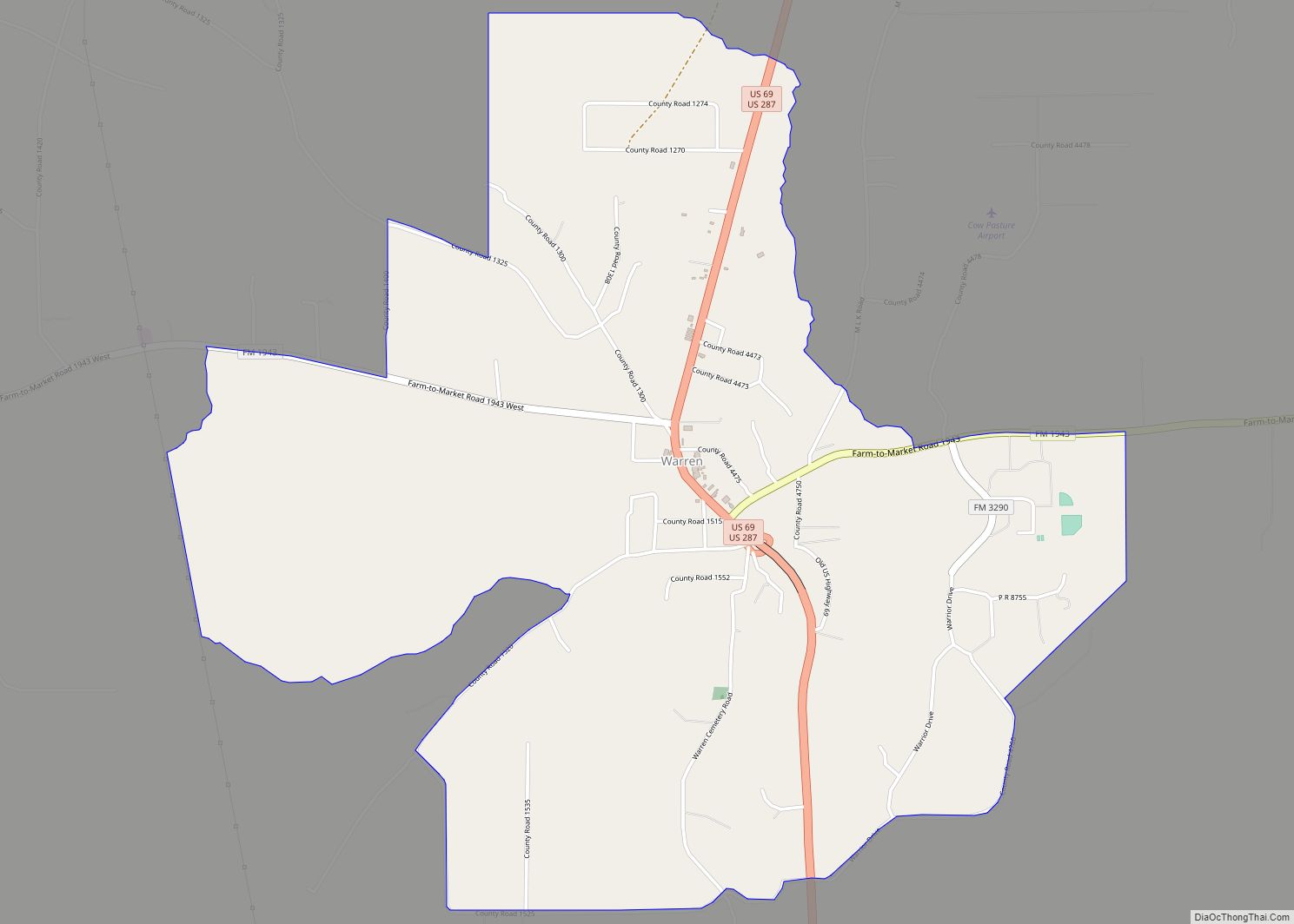
Warren is a census-designated place and unincorporated community in Tyler County, Texas, United States. Its ZIP code is 77664. This was a new CDP for the 2010 census with a population of 757. Warren CDP overview: Name: Warren CDP LSAD Code: 57 LSAD Description: CDP (suffix) State: Texas County: Tyler County Elevation: 167 ft (51 m) Total ... Read more
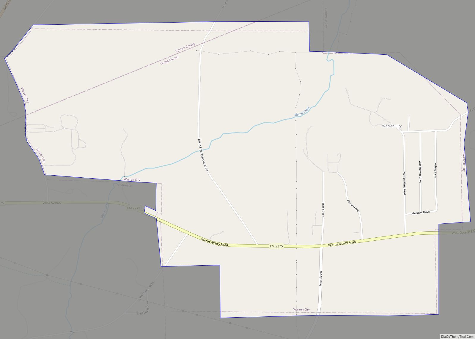
Warren City is a city in Gregg and Upshur counties in the U.S. state of Texas. The population was 319 at the 2020 U.S. census. Warren City city overview: Name: Warren City city LSAD Code: 25 LSAD Description: city (suffix) State: Texas County: Gregg County, Upshur County Elevation: 371 ft (113 m) Total Area: 1.75 sq mi (4.53 km²) Land ... Read more
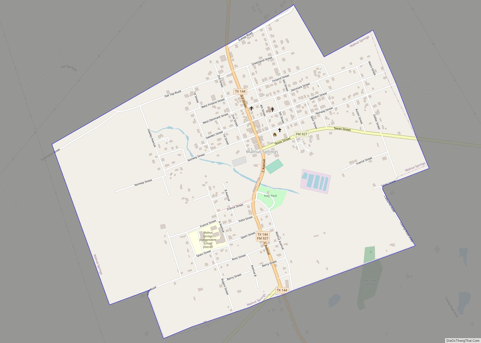
Walnut Springs is a city located in Bosque County in Central Texas. The population was 827 at the 2010 census. Walnut Springs city overview: Name: Walnut Springs city LSAD Code: 25 LSAD Description: city (suffix) State: Texas County: Bosque County Elevation: 912 ft (278 m) Total Area: 1.34 sq mi (3.47 km²) Land Area: 1.33 sq mi (3.45 km²) Water Area: 0.01 sq mi (0.02 km²) ... Read more
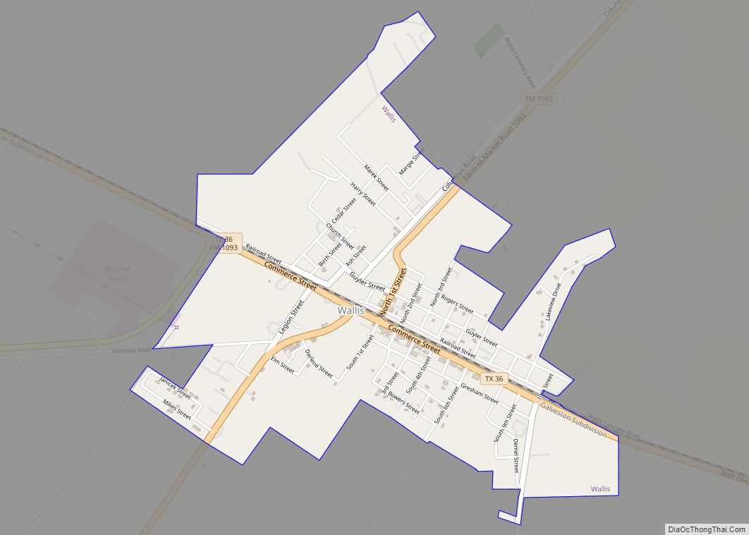
Wallis is a city in far southeastern Austin County, Texas, United States. The city is located along State Highway 36 (SH 36) and the BNSF Railway between Rosenberg and Sealy. The city’s population was 1,292 at the 2020 census. Wallis city overview: Name: Wallis city LSAD Code: 25 LSAD Description: city (suffix) State: Texas County: Austin ... Read more
