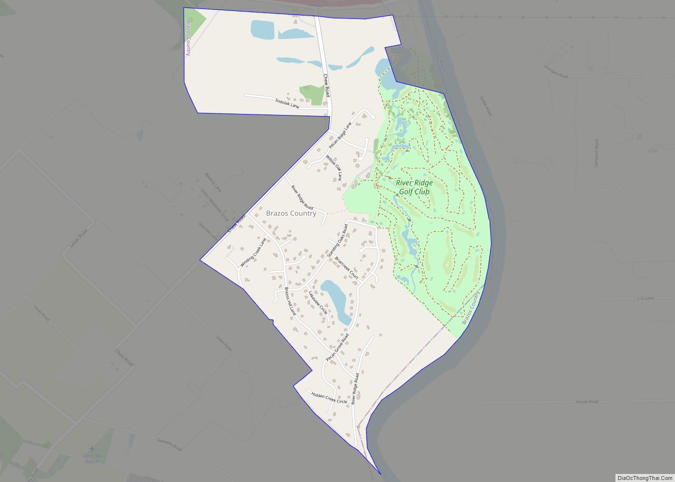
Brazos Country is a residential community in Austin County, Texas. Brazos Country city overview: Name: Brazos Country city LSAD Code: 25 LSAD Description: city (suffix) State: Texas County: Austin County Incorporated: 2000 Total Area: 2.00 sq mi (5.19 km²) Land Area: 1.95 sq mi (5.06 km²) Water Area: 0.05 sq mi (0.13 km²) Total Population: 469 Population Density: 242.70/sq mi (93.71/km²) ZIP code: 77474 FIPS ... Read more
Texas Cities and Places
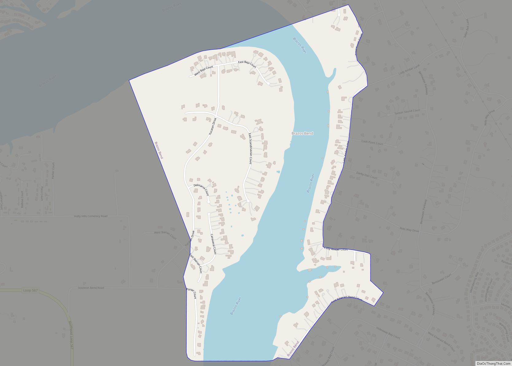
Brazos Bend city overview: Name: Brazos Bend city LSAD Code: 25 LSAD Description: city (suffix) State: Texas County: Hood County FIPS code: 4810087 Online Interactive Map Brazos Bend online map. Source: Basemap layers from Google Map, Open Street Map (OSM), Arcgisonline, Wmflabs. Boundary Data from Database of Global Administrative Areas. Brazos Bend location map. Where ... Read more
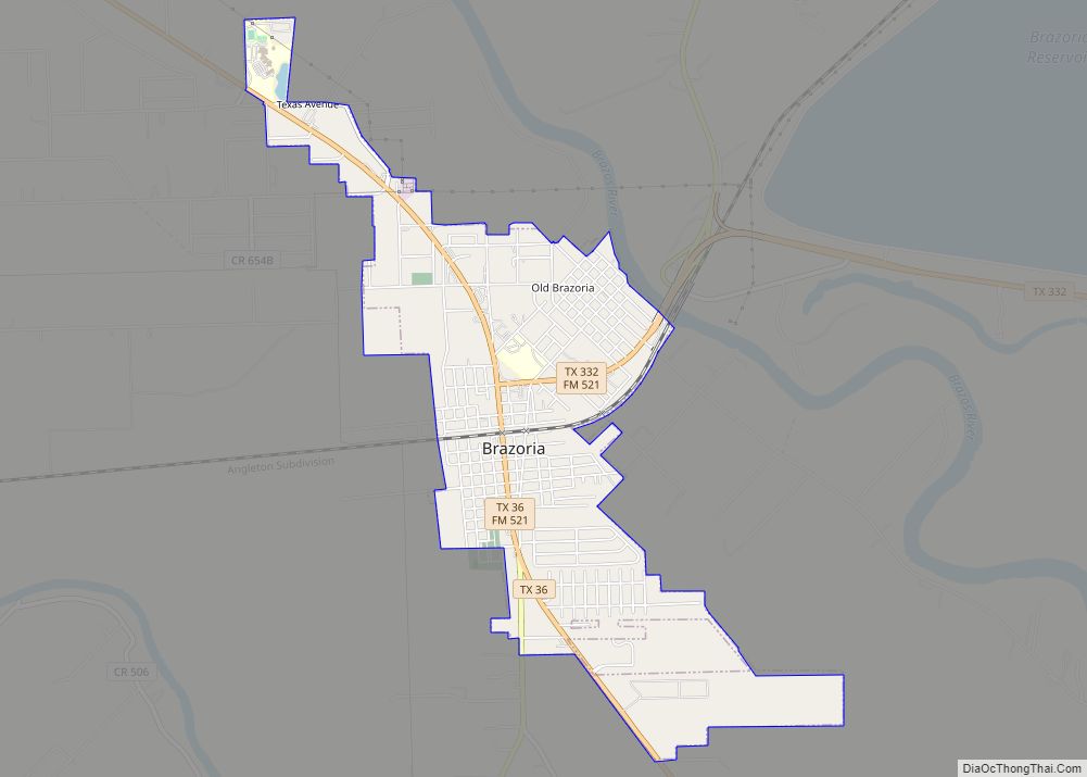
Brazoria (/brəˈzɔːriə/ brə-ZOR-ee-ə) is a city in the U.S. state of Texas, in the Houston–The Woodlands–Sugar Land metropolitan area and Brazoria County. As of the 2020 U.S. Census, the city population was 2,866. Brazoria city overview: Name: Brazoria city LSAD Code: 25 LSAD Description: city (suffix) State: Texas County: Brazoria County Elevation: 30 ft (9 m) Total Area: ... Read more
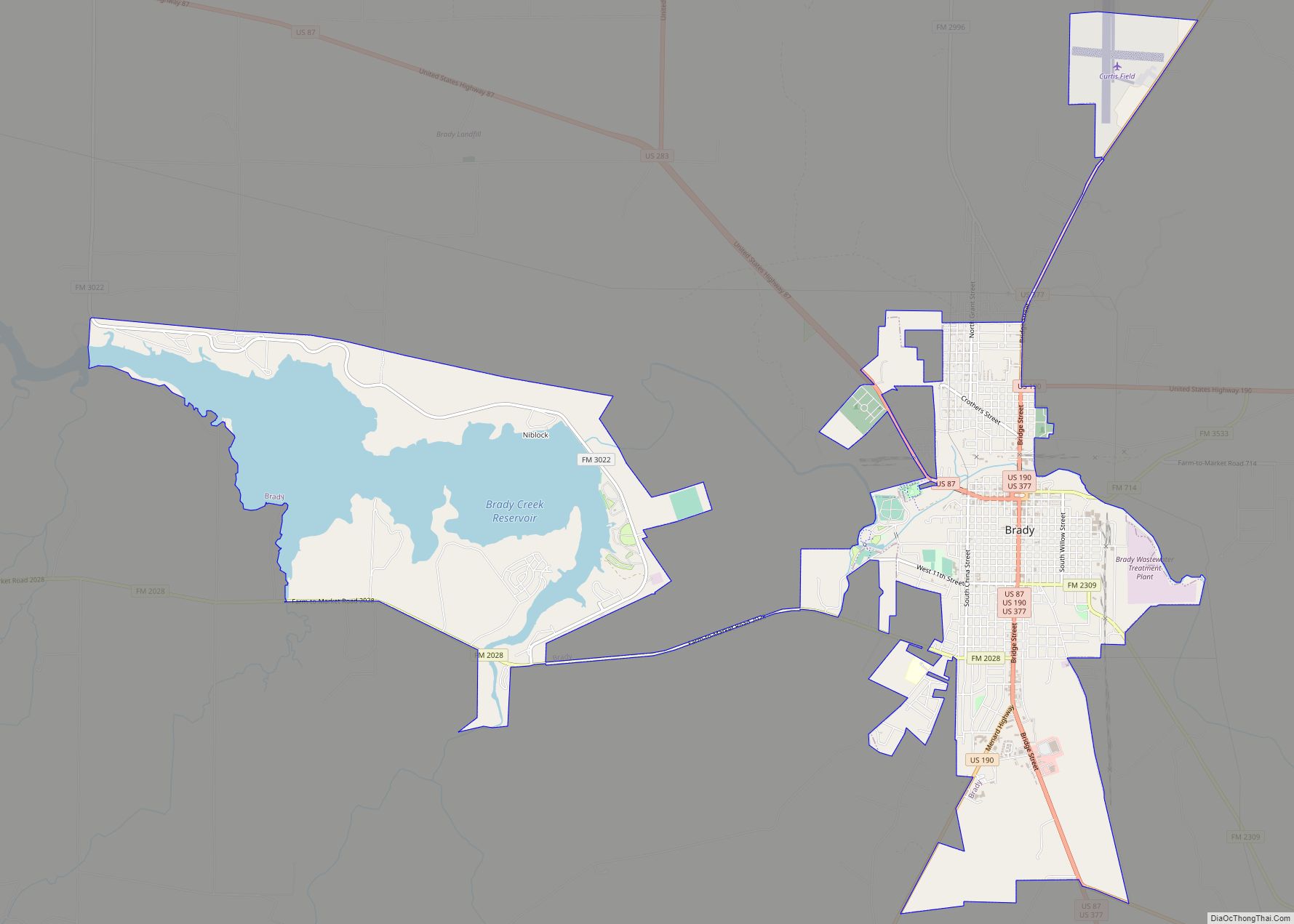
Brady is a city in McCulloch County, Texas, United States. Brady refers to itself as the “Heart of Texas”, as it is the city closest to the geographical center of the state, which is about 15 miles northeast of Brady. Its population was 5,528 at the 2010 census. It is the county seat of McCulloch ... Read more
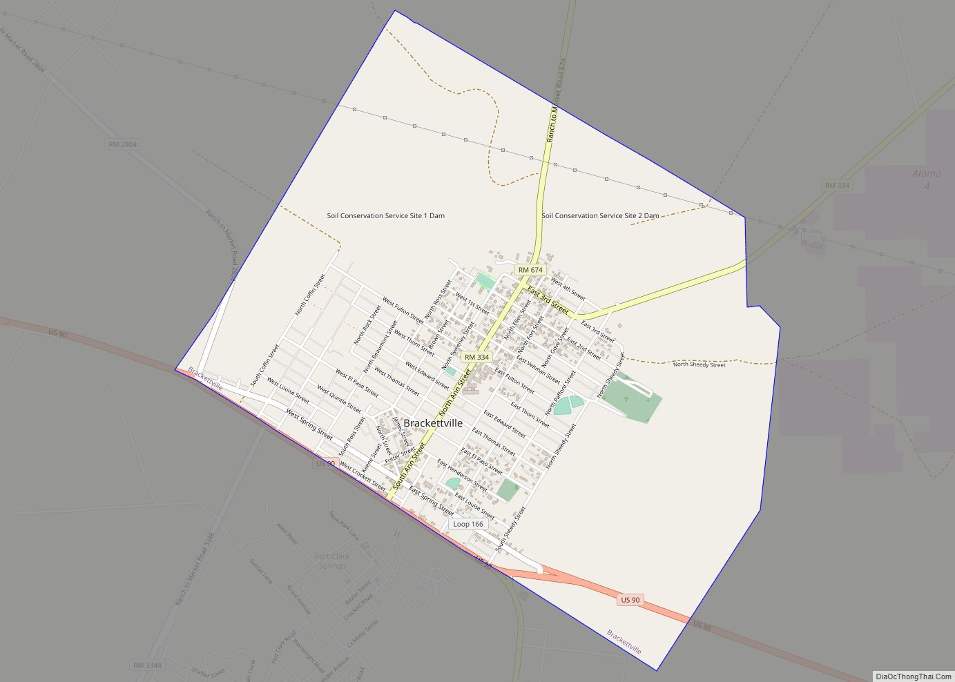
Brackettville is a city in Kinney County, Texas, United States. The population was 1,688 at the 2010 census, down from 1,876 at the 2000 census. It is the county seat of Kinney County. Brackettville city overview: Name: Brackettville city LSAD Code: 25 LSAD Description: city (suffix) State: Texas County: Kinney County Elevation: 1,106 ft (337 m) Total ... Read more
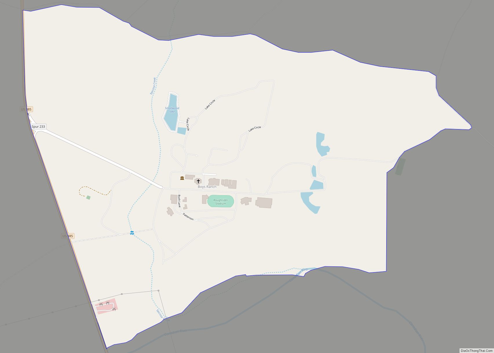
Boys Ranch is a census-designated place and unincorporated community in northeastern Oldham County, Texas, United States, on the site of the original county seat, Tascosa. It lies along U.S. Route 385 northeast of the city of Vega, the county seat of Oldham County. Although Boys Ranch is unincorporated, it has a post office, with the ... Read more
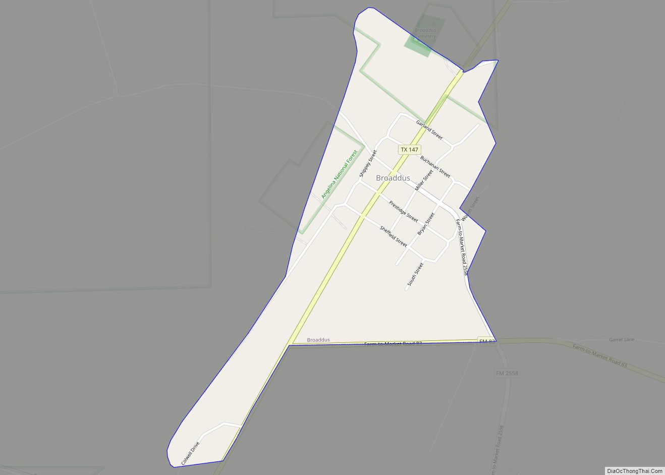
Broaddus (/ˈbrɔːdəs/ BRAW-dəs) is a town in San Augustine County, Texas, United States. The population was 207 at the 2010 census. Broaddus town overview: Name: Broaddus town LSAD Code: 43 LSAD Description: town (suffix) State: Texas County: San Augustine County Elevation: 262 ft (80 m) Total Area: 0.37 sq mi (0.97 km²) Land Area: 0.37 sq mi (0.97 km²) Water Area: 0.00 sq mi (0.00 km²) ... Read more
Bristol is a census-designated place in Ellis County, Texas, United States. The population was 668 at the 2010 census. Bristol CDP overview: Name: Bristol CDP LSAD Code: 57 LSAD Description: CDP (suffix) State: Texas County: Ellis County Elevation: 486 ft (148 m) Total Area: 5.88 sq mi (15.2 km²) Land Area: 5.78 sq mi (15.0 km²) Water Area: 0.10 sq mi (0.3 km²) Total Population: 668 ... Read more
Bridgeport is a city in Wise County, Texas, United States. The population was 5,923 in 2020. In 2009, Bridgeport was named by the Texas Legislature as the Stagecoach Capital of Texas. Bridgeport city overview: Name: Bridgeport city LSAD Code: 25 LSAD Description: city (suffix) State: Texas County: Wise County Elevation: 801 ft (244 m) Total Area: 7.85 sq mi ... Read more
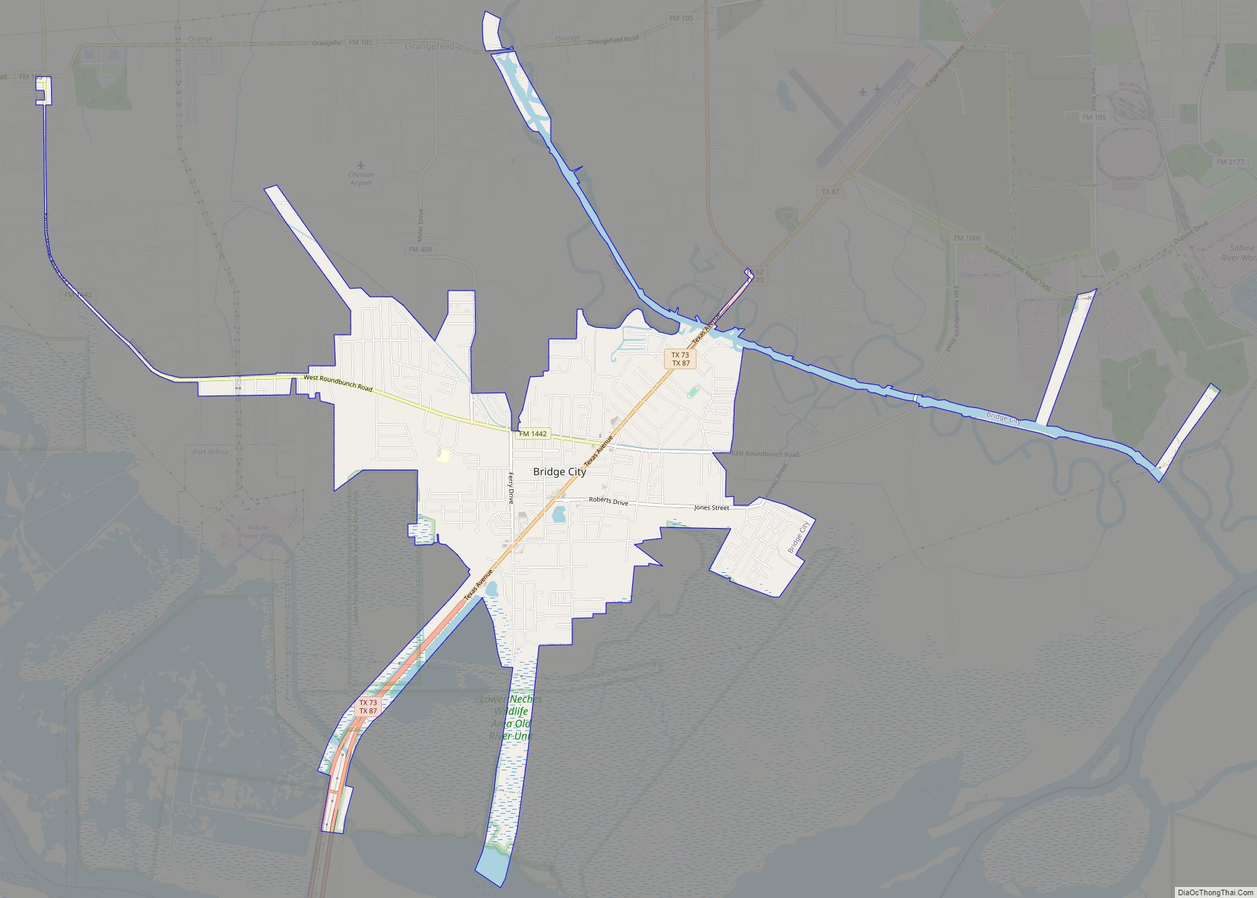
Bridge City is a city in Orange County, Texas, United States. It is 100 miles east of Houston, near the Gulf of Mexico. The population was 9,546 at the 2020 Census. The town borders the Neches River and Cow Bayou. It is part of the Beaumont–Port Arthur Metropolitan Statistical Area. The area is mostly known ... Read more
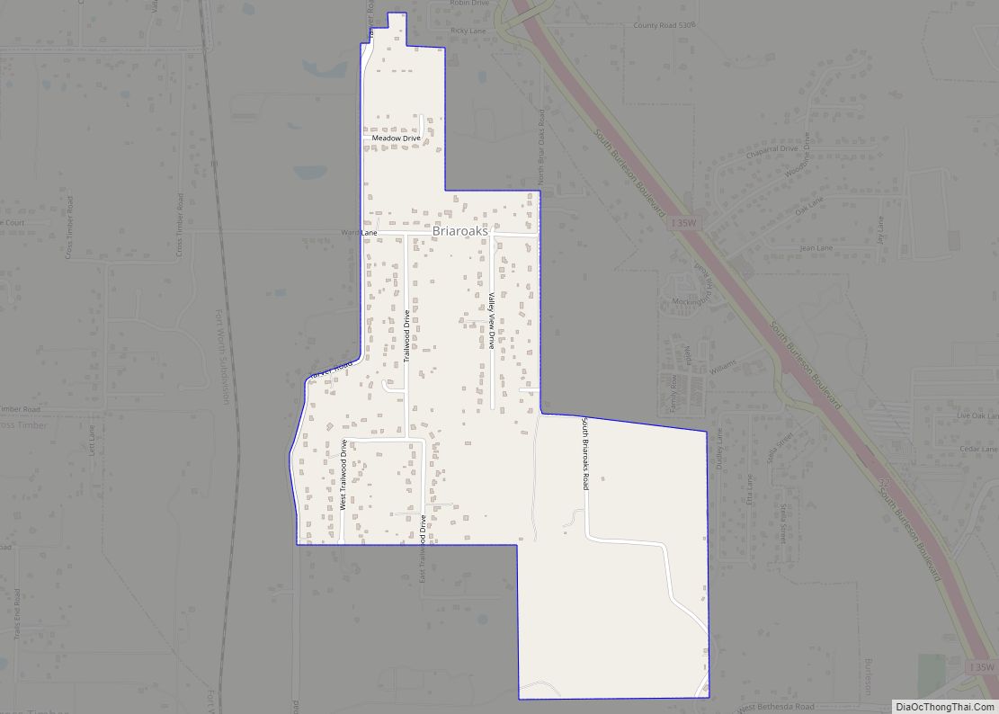
Briaroaks is a city in Johnson County, Texas, United States. The population was 492 at the 2010 census. Briaroaks city overview: Name: Briaroaks city LSAD Code: 25 LSAD Description: city (suffix) State: Texas County: Johnson County Elevation: 738 ft (225 m) Total Area: 1.07 sq mi (2.77 km²) Land Area: 1.07 sq mi (2.77 km²) Water Area: 0.00 sq mi (0.00 km²) Total Population: 492 Population ... Read more
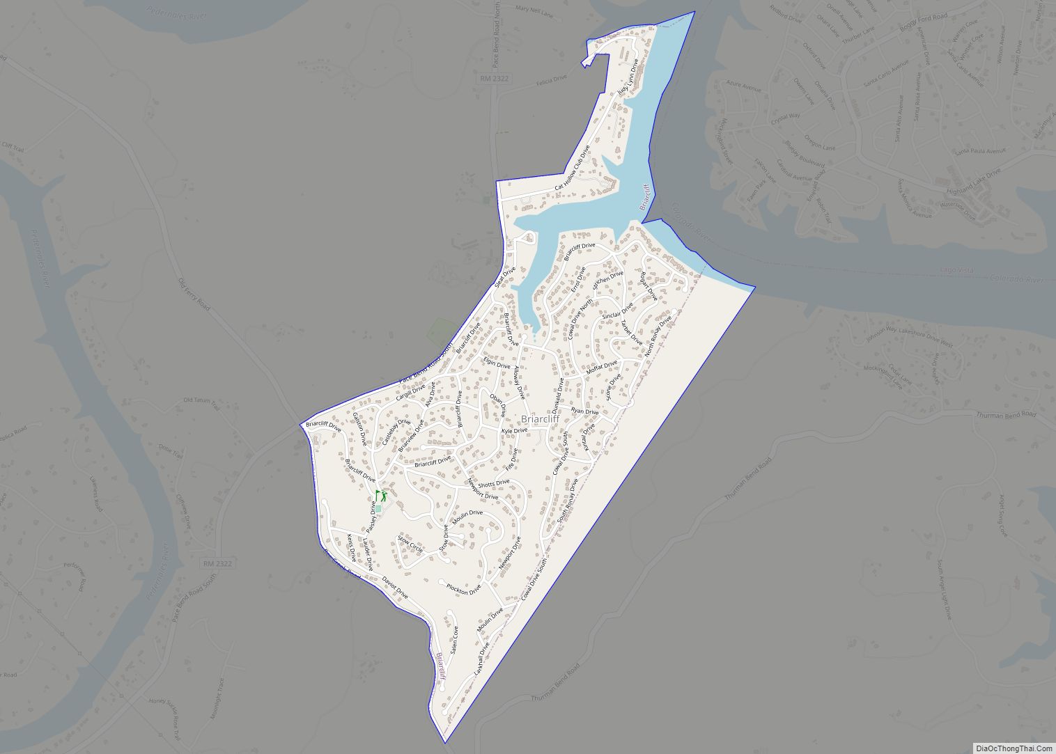
Briarcliff is a village in Travis County, Texas, United States. The population was 1,438 at the 2010 census. Briarcliff village overview: Name: Briarcliff village LSAD Code: 47 LSAD Description: village (suffix) State: Texas County: Travis County Elevation: 758 ft (231 m) Total Area: 1.73 sq mi (4.49 km²) Land Area: 1.65 sq mi (4.27 km²) Water Area: 0.09 sq mi (0.23 km²) Total Population: 1,438 Population ... Read more
