Map of China city

Map of China city

China is a city in Jefferson County, Texas, United States. The population was 1,260 at the 2020 census. It is part of the Beaumont–Port Arthur Metropolitan Statistical Area. China city overview: Name: China city LSAD Code: 25 LSAD Description: city (suffix) State: Texas County: Jefferson County Elevation: 39 ft (12 m) Total Area: 1.29 sq mi (3.34 km²) Land Area: … Read more

Map of China Spring CDP

Map of China Spring CDP

China Spring is a census-designated place in northwestern McLennan County, Texas, United States. It lies approximately twelve miles northwest of Waco, on Farm-to-Market Road 1637, and is part of the Waco Metropolitan Statistical Area. Settlement of the area began as early as 1860, and the community was founded in 1867. It was named for a … Read more

Map of China Grove town, Texas

Map of China Grove town, Texas

China Grove is a town in Bexar County, Texas, United States, located on the far east side of San Antonio. The population was 1,141 at the 2020 census. It is part of the San Antonio Metropolitan Statistical Area. China Grove town overview: Name: China Grove town LSAD Code: 43 LSAD Description: town (suffix) State: Texas … Read more

Map of Chilton CDP

Map of Chilton CDP, Texas

Chilton is a census-designated place (CDP) and unincorporated community in Falls County, Texas, United States. It had a population of 776 at the 2020 census. It is located in western Falls County. U.S. Route 77 forms the western edge of the community, leading north 20 miles (32 km) to Waco and south 16 miles (26 km) to … Read more

Map of Chillicothe city, Texas

Map of Chillicothe city, Texas

Chillicothe is a city in Hardeman County, in the U.S. state of Texas. The population was 707 at the 2010 census. Chillicothe city overview: Name: Chillicothe city LSAD Code: 25 LSAD Description: city (suffix) State: Texas County: Hardeman County Elevation: 1,401 ft (427 m) Total Area: 1.02 sq mi (2.64 km²) Land Area: 1.02 sq mi (2.64 km²) Water Area: 0.00 sq mi (0.00 km²) Total … Read more

Map of Childress city

Map of Childress city

Childress (/ˈtʃɪldrɪs/ CHIL-driss) (established 1887; incorporated 1890) is a city in Childress County, Texas, United States. Its population was 6,905 at the 2010 census. It is the county seat of Childress County. The city and county were named in honor of George Campbell Childress, a native of Nashville, Tennessee, who was the principal author of … Read more

Map of Chico city, Texas

Map of Chico city, Texas

Chico is a town in Wise County, Texas, United States. The population was 946 in 2020. Chico city overview: Name: Chico city LSAD Code: 25 LSAD Description: city (suffix) State: Texas County: Wise County Elevation: 925 ft (282 m) Total Area: 1.5 sq mi (4 km²) Land Area: 1.5 sq mi (4 km²) Water Area: 0.0 sq mi (0 km²) Total Population: 946 Population Density: 630/sq mi … Read more

Map of Chester town, Texas

Map of Chester town, Texas

Chester is a town in Tyler County, Texas, United States. The population was 312 at the 2010 census. Chester town overview: Name: Chester town LSAD Code: 43 LSAD Description: town (suffix) State: Texas County: Tyler County Elevation: 246 ft (75 m) Total Area: 1.57 sq mi (4.08 km²) Land Area: 1.57 sq mi (4.08 km²) Water Area: 0.00 sq mi (0.00 km²) Total Population: 312 Population … Read more

Map of Christine town, Texas

Map of Christine town, Texas

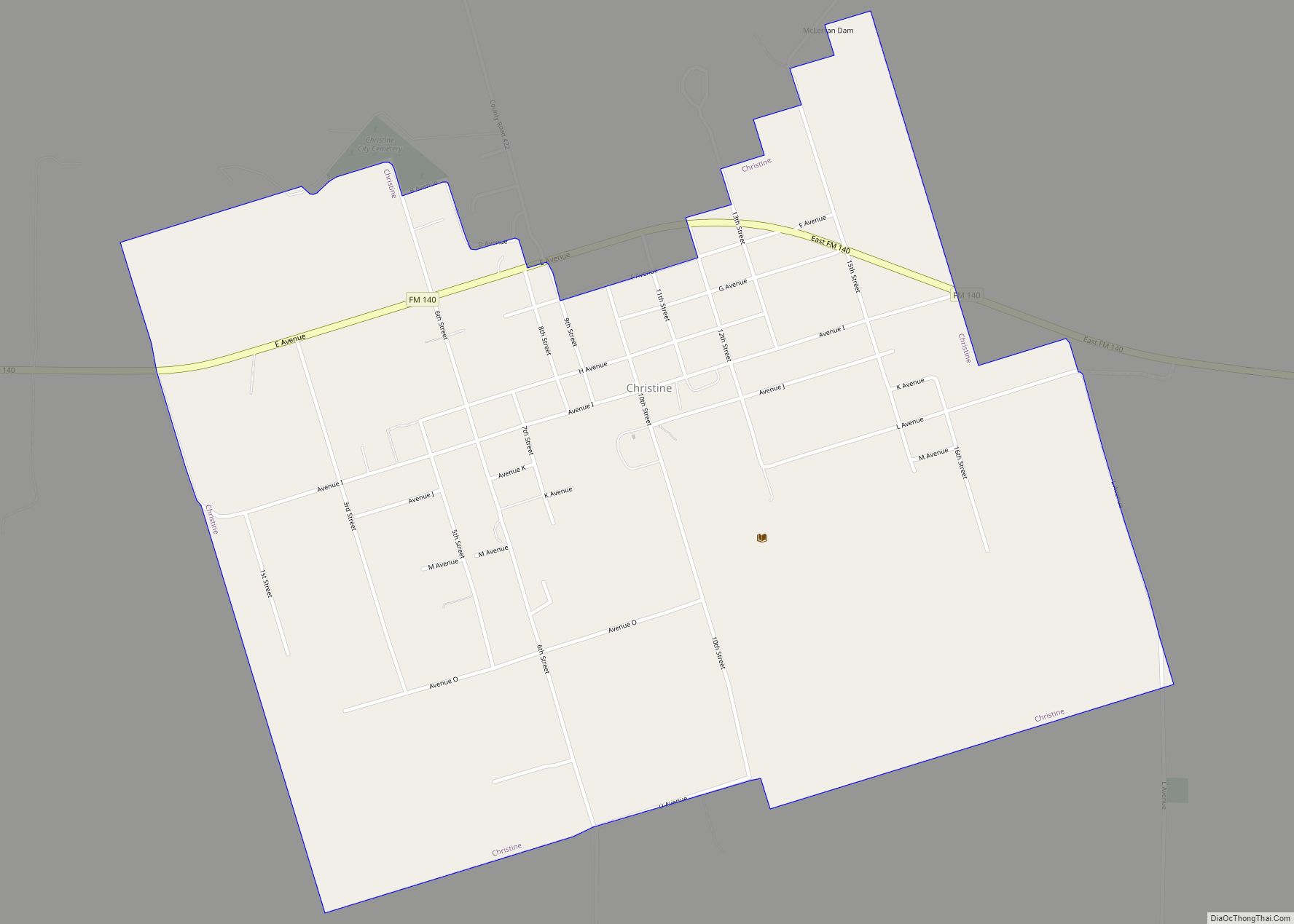
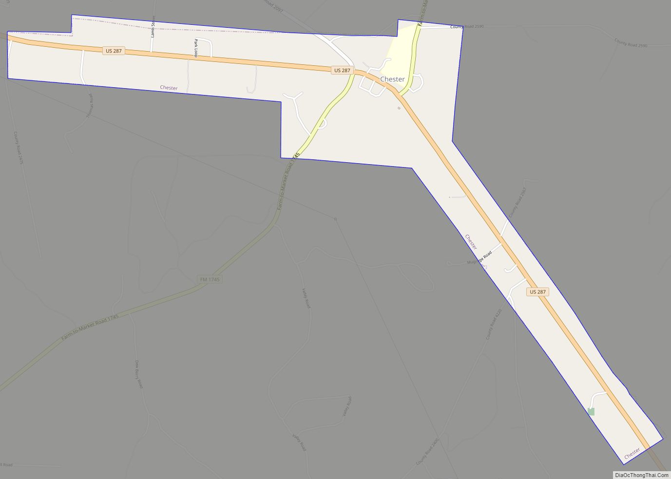
Christine is a town in Atascosa County, Texas, United States. The population was 390 at the 2010 census. It is part of the San Antonio Metropolitan Statistical Area. Christine town overview: Name: Christine town LSAD Code: 43 LSAD Description: town (suffix) State: Texas County: Atascosa County Elevation: 331 ft (101 m) Total Area: 1.72 sq mi (4.45 km²) Land Area: … Read more

Map of Chireno city

Map of Chireno city

Chireno (/ʃɪˈriːnoʊ/ shi-REE-noh) is a city in Nacogdoches County, Texas, United States. The population was 386 at the 2010 census. Chireno city overview: Name: Chireno city LSAD Code: 25 LSAD Description: city (suffix) State: Texas County: Nacogdoches County Elevation: 322 ft (98 m) Total Area: 1.87 sq mi (4.85 km²) Land Area: 1.87 sq mi (4.85 km²) Water Area: 0.00 sq mi (0.00 km²) Total Population: … Read more

Map of Clarksville City city

Map of Clarksville City

Clarksville City is a city in Gregg and Upshur counties in the U.S. state of Texas. The population was 780 at the 2020 census. Clarksville City overview: Name: Clarksville City LSAD Code: 25 LSAD Description: city (suffix) State: Texas County: Gregg County, Upshur County Elevation: 361 ft (110 m) Total Area: 6.53 sq mi (16.92 km²) Land Area: 6.37 sq mi (16.50 km²) … Read more

Map of Clarendon city, Texas

Map of Clarendon city, Texas

Clarendon is a city in Donley County, Texas, United States. Its population was 2,026 at the 2010 census. The county seat of Donley County, Clarendon is located on U.S. Highway 287 in the Texas Panhandle, 60 miles (97 km) east of Amarillo. Clarendon city overview: Name: Clarendon city LSAD Code: 25 LSAD Description: city (suffix) State: … Read more