Clarksville City is a city in Gregg and Upshur counties in the U.S. state of Texas. The population was 780 at the 2020 census.
| Name: | Clarksville City city |
|---|---|
| LSAD Code: | 25 |
| LSAD Description: | city (suffix) |
| State: | Texas |
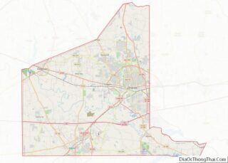
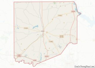
| County: | Gregg County, Upshur County |
| Elevation: | 361 ft (110 m) |
| Total Area: | 6.53 sq mi (16.92 km²) |
| Land Area: | 6.37 sq mi (16.50 km²) |
| Water Area: | 0.16 sq mi (0.41 km²) |
| Total Population: | 780 |
| Population Density: | 120/sq mi (46/km²) |
| ZIP code: | 75693 |
| Area code: | 903 |
| FIPS code: | 4815172 |
| GNISfeature ID: | 1332901 |
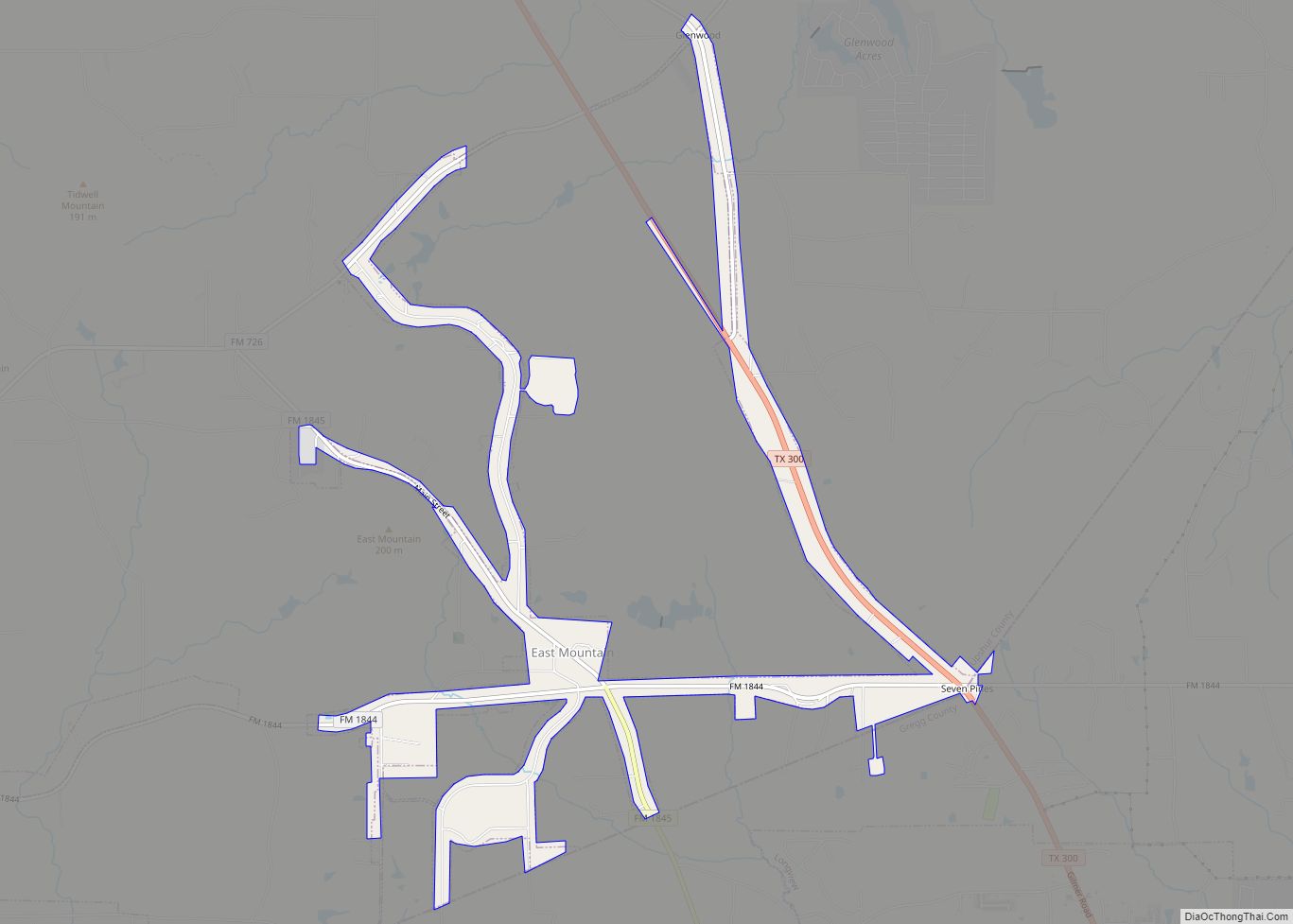
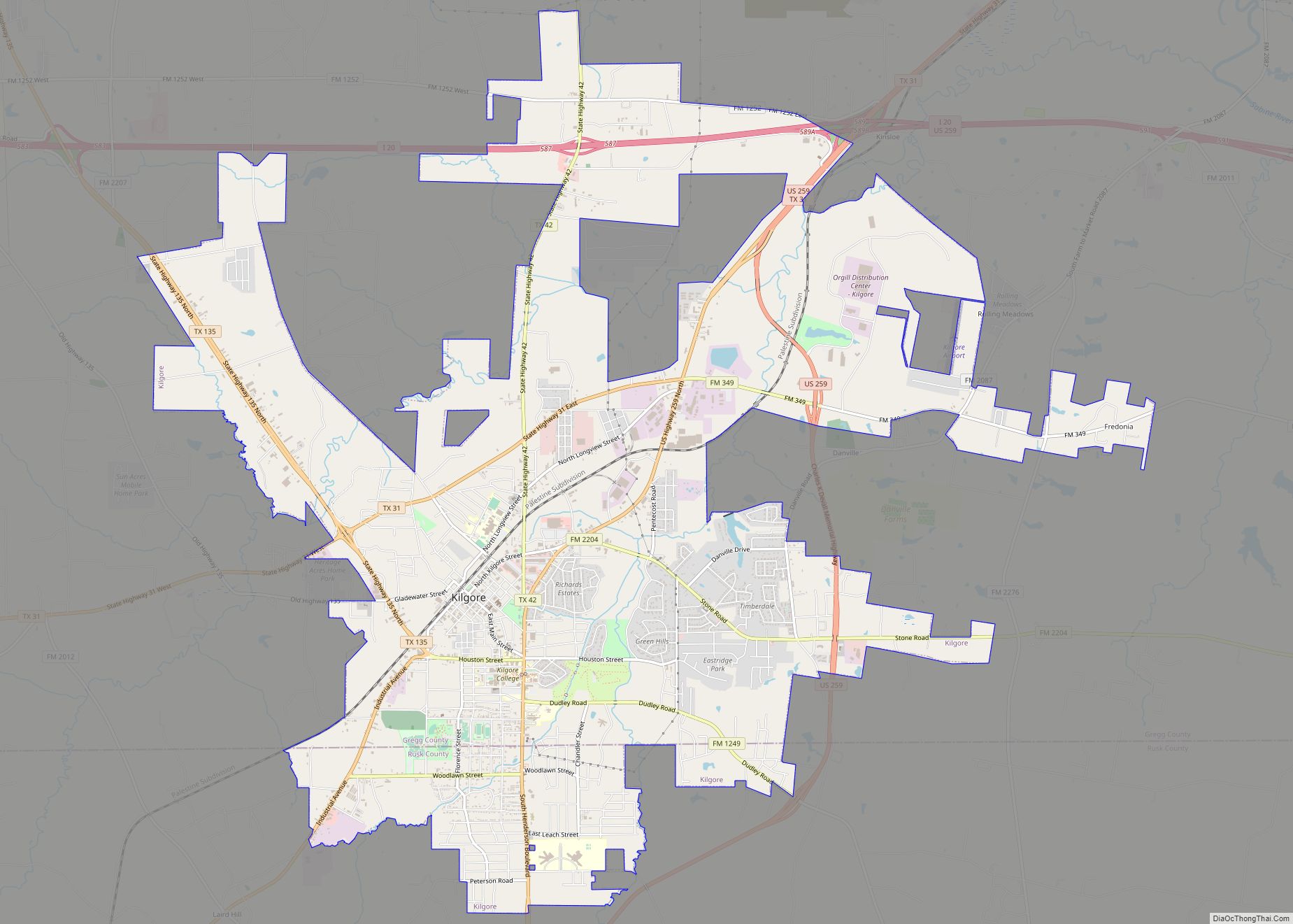
Online Interactive Map
Click on ![]() to view map in "full screen" mode.
to view map in "full screen" mode.
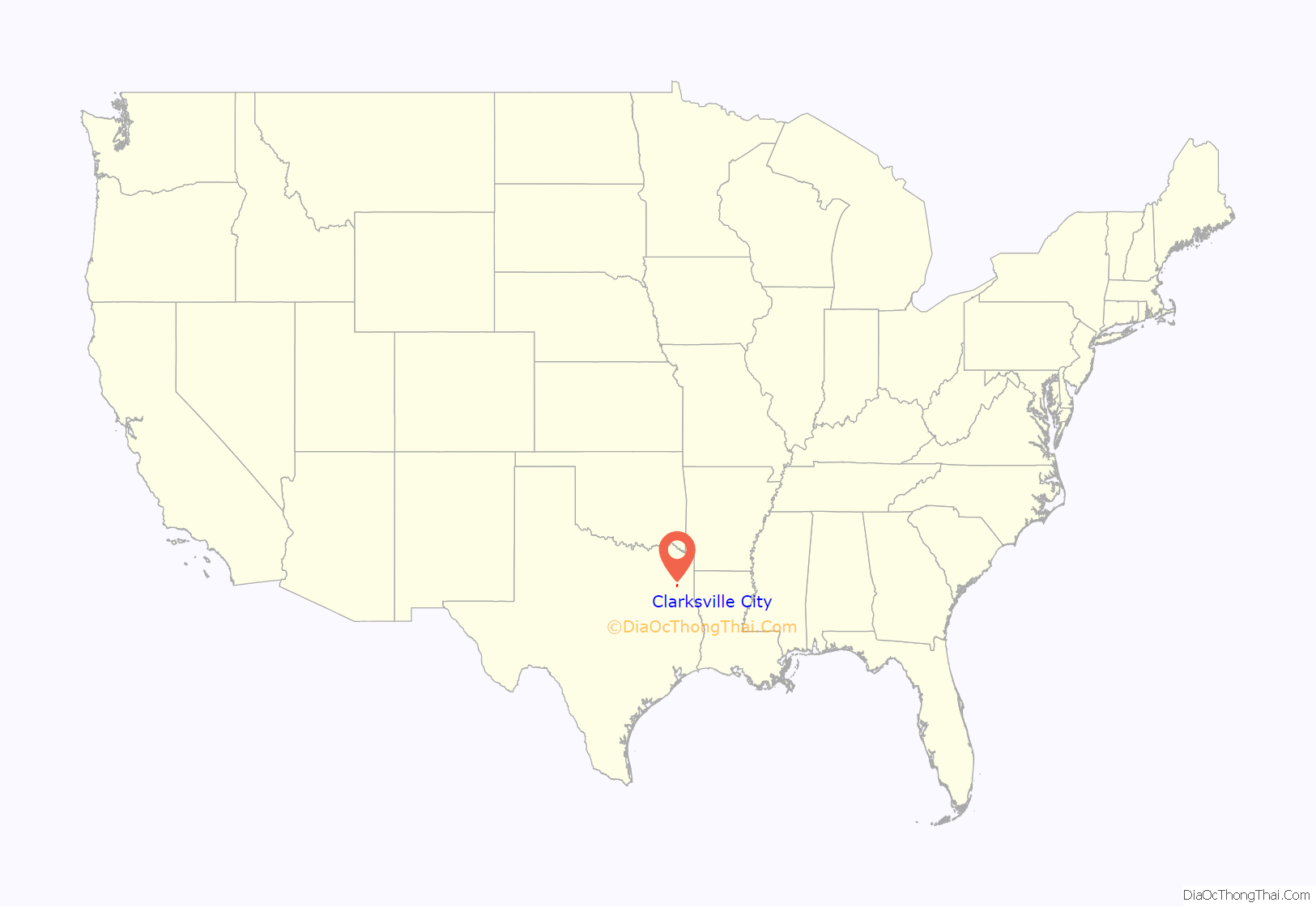
Clarksville City location map. Where is Clarksville City city?

History
The first settlers arrived in the area before 1845. There was a stagecoach stop at the home of William W. Walters, which was later owned and operated by Warren P. Victory. Though first known as “Gilead”, the post office was named “Point Pleasant” in 1852. It closed in 1867. The community withered when the railroad bypassed it in 1873 and Gladewater was established. With the advent of the East Texas Oil Field in 1930, so many homes, businesses, and oil-company camps and offices sprang up along the highway that it was called the Main Street of Texas, and street numbers were designated from Longview to Gladewater. The area around George W. Clark’s home on the site of the old stagecoach stop became known as “Clarksville”.
After extensive paving projects and other civic improvements in the 1940s and the construction of Lake Gladewater in 1952, the nearby city of Gladewater had a high tax rate and was extending its boundaries. Industrialists in the area to the east became alarmed at the prospect of being taken into Gladewater and taxed more. A movement to incorporate, spearheaded by several oil companies and the L. W. Pelphrey Company, a general contractor specializing in oilfield construction, culminated in a vote to establish Clarksville City on September 14, 1956. Pelphrey was elected mayor and served until his death in August 1961. The bypassed portion of Old Highway 80 is named Pelphrey Drive in his honor.
The population dwindled as drilling reached the state allowable and producing wells became automated. Cities Service Oil Company closed its office and camp in the early 1960s, and Sun Oil Company soon followed. After a population low of 359 in the 1960s, growth was steady. In 1990 Clarksville City had 720 residents and twenty businesses. In 2000 the population was 806. The town has an elected mayor and council with a city manager form of government. The city hall was built in 1962 and doubled in size in 1991. A Texas historical marker for the old community of Point Pleasant is at the city hall.
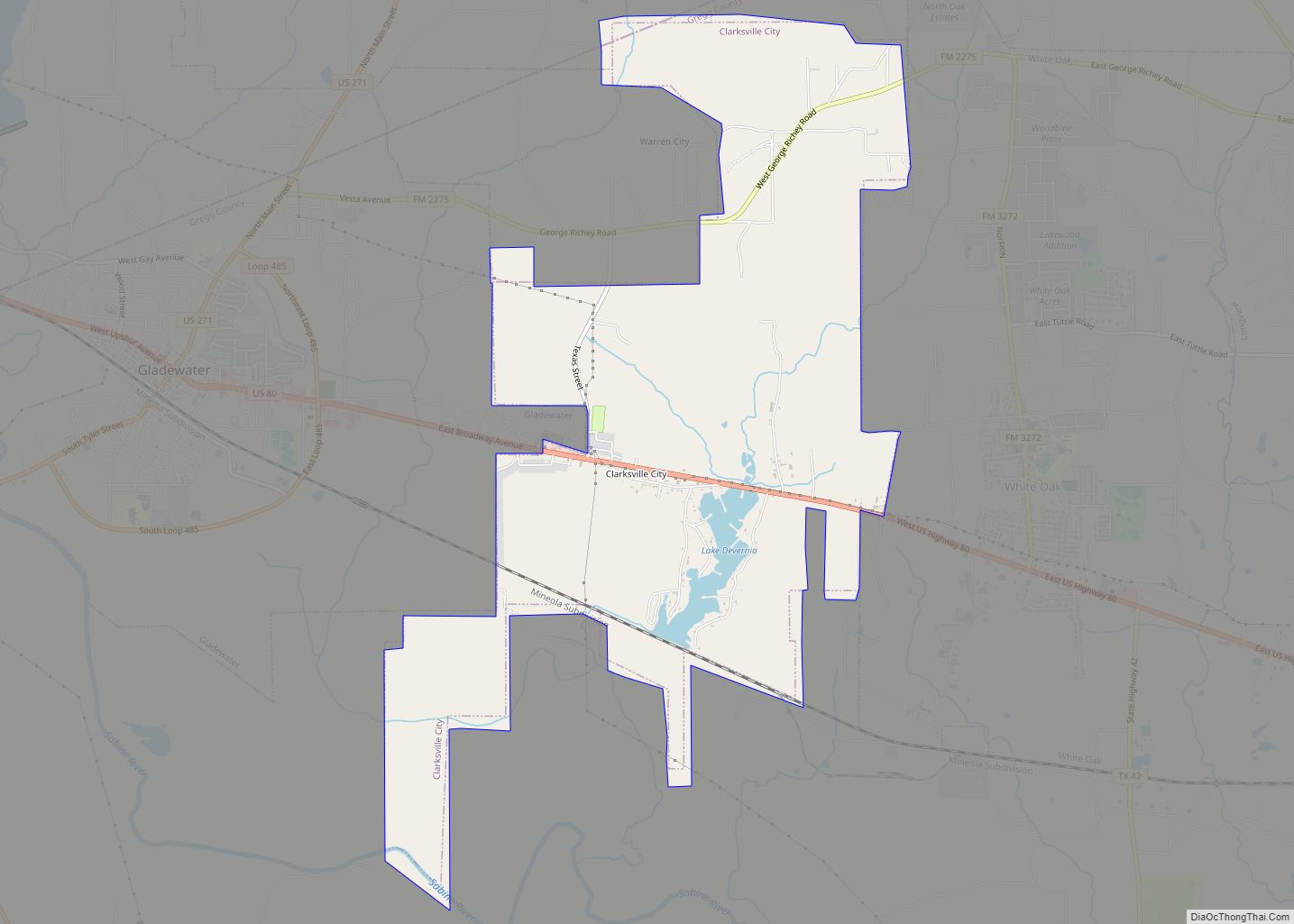
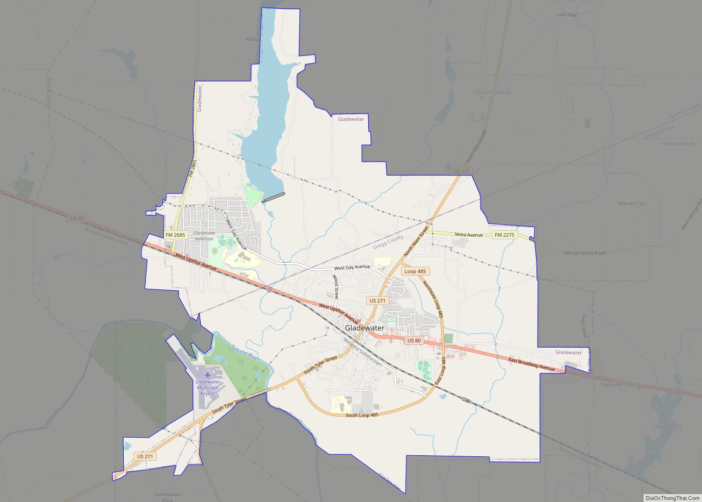
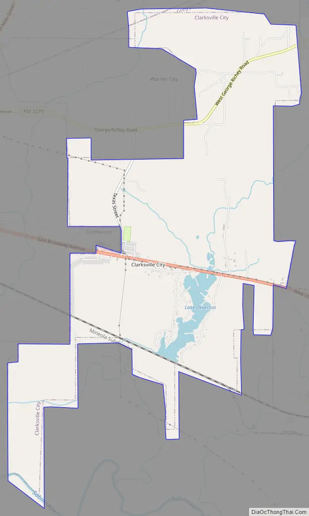
Clarksville City Road Map
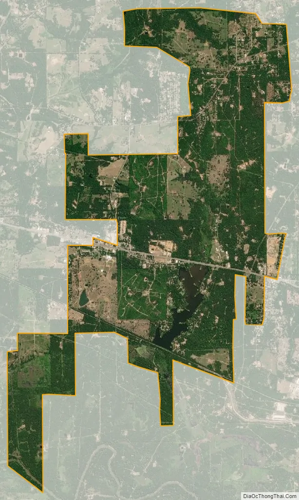
Clarksville City city Satellite Map
Geography
Clarksville City is located in northwestern Gregg County at 32°31′44″N 94°53′40″W / 32.52889°N 94.89444°W / 32.52889; -94.89444 (32.528866, –94.894344), along U.S. Route 80, 10 miles (16 km) west of Longview and 2.5 miles (4.0 km) east of Gladewater. The city is bordered by Gladewater to the west, Warren City to the northwest, and White Oak to the east. Lake Deverina on Campbell Creek is in the southern part of Clarksville City.
According to the United States Census Bureau, the city has a total area of 6.5 square miles (16.8 km), of which 6.3 square miles (16.4 km) are land and 0.15 square miles (0.4 km), or 2.49%, are water.
See also
Map of Texas State and its subdivision:- Anderson
- Andrews
- Angelina
- Aransas
- Archer
- Armstrong
- Atascosa
- Austin
- Bailey
- Bandera
- Bastrop
- Baylor
- Bee
- Bell
- Bexar
- Blanco
- Borden
- Bosque
- Bowie
- Brazoria
- Brazos
- Brewster
- Briscoe
- Brooks
- Brown
- Burleson
- Burnet
- Caldwell
- Calhoun
- Callahan
- Cameron
- Camp
- Carson
- Cass
- Castro
- Chambers
- Cherokee
- Childress
- Clay
- Cochran
- Coke
- Coleman
- Collin
- Collingsworth
- Colorado
- Comal
- Comanche
- Concho
- Cooke
- Coryell
- Cottle
- Crane
- Crockett
- Crosby
- Culberson
- Dallam
- Dallas
- Dawson
- Deaf Smith
- Delta
- Denton
- Dewitt
- Dickens
- Dimmit
- Donley
- Duval
- Eastland
- Ector
- Edwards
- El Paso
- Ellis
- Erath
- Falls
- Fannin
- Fayette
- Fisher
- Floyd
- Foard
- Fort Bend
- Franklin
- Freestone
- Frio
- Gaines
- Galveston
- Garza
- Gillespie
- Glasscock
- Goliad
- Gonzales
- Gray
- Grayson
- Gregg
- Grimes
- Guadalupe
- Hale
- Hall
- Hamilton
- Hansford
- Hardeman
- Hardin
- Harris
- Harrison
- Hartley
- Haskell
- Hays
- Hemphill
- Henderson
- Hidalgo
- Hill
- Hockley
- Hood
- Hopkins
- Houston
- Howard
- Hudspeth
- Hunt
- Hutchinson
- Irion
- Jack
- Jackson
- Jasper
- Jeff Davis
- Jefferson
- Jim Hogg
- Jim Wells
- Johnson
- Jones
- Karnes
- Kaufman
- Kendall
- Kenedy
- Kent
- Kerr
- Kimble
- King
- Kinney
- Kleberg
- Knox
- La Salle
- Lamar
- Lamb
- Lampasas
- Lavaca
- Lee
- Leon
- Liberty
- Limestone
- Lipscomb
- Live Oak
- Llano
- Loving
- Lubbock
- Lynn
- Madison
- Marion
- Martin
- Mason
- Matagorda
- Maverick
- McCulloch
- McLennan
- McMullen
- Medina
- Menard
- Midland
- Milam
- Mills
- Mitchell
- Montague
- Montgomery
- Moore
- Morris
- Motley
- Nacogdoches
- Navarro
- Newton
- Nolan
- Nueces
- Ochiltree
- Oldham
- Orange
- Palo Pinto
- Panola
- Parker
- Parmer
- Pecos
- Polk
- Potter
- Presidio
- Rains
- Randall
- Reagan
- Real
- Red River
- Reeves
- Refugio
- Roberts
- Robertson
- Rockwall
- Runnels
- Rusk
- Sabine
- San Augustine
- San Jacinto
- San Patricio
- San Saba
- Schleicher
- Scurry
- Shackelford
- Shelby
- Sherman
- Smith
- Somervell
- Starr
- Stephens
- Sterling
- Stonewall
- Sutton
- Swisher
- Tarrant
- Taylor
- Terrell
- Terry
- Throckmorton
- Titus
- Tom Green
- Travis
- Trinity
- Tyler
- Upshur
- Upton
- Uvalde
- Val Verde
- Van Zandt
- Victoria
- Walker
- Waller
- Ward
- Washington
- Webb
- Wharton
- Wheeler
- Wichita
- Wilbarger
- Willacy
- Williamson
- Wilson
- Winkler
- Wise
- Wood
- Yoakum
- Young
- Zapata
- Zavala
- Alabama
- Alaska
- Arizona
- Arkansas
- California
- Colorado
- Connecticut
- Delaware
- District of Columbia
- Florida
- Georgia
- Hawaii
- Idaho
- Illinois
- Indiana
- Iowa
- Kansas
- Kentucky
- Louisiana
- Maine
- Maryland
- Massachusetts
- Michigan
- Minnesota
- Mississippi
- Missouri
- Montana
- Nebraska
- Nevada
- New Hampshire
- New Jersey
- New Mexico
- New York
- North Carolina
- North Dakota
- Ohio
- Oklahoma
- Oregon
- Pennsylvania
- Rhode Island
- South Carolina
- South Dakota
- Tennessee
- Texas
- Utah
- Vermont
- Virginia
- Washington
- West Virginia
- Wisconsin
- Wyoming