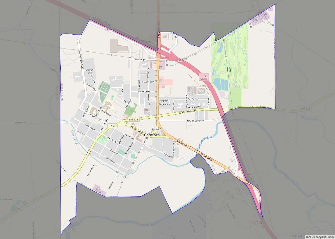
Comfort is an unincorporated community and census-designated place (CDP) in Kendall County, Texas, United States. As of the 2010 census it had a population of 2,363. Comfort was founded by German emigrants on the western end of the Texas-German belt. Many residents of the town today are descendants of those same Germans. Comfort is known ... Read more
Texas Cities and Places
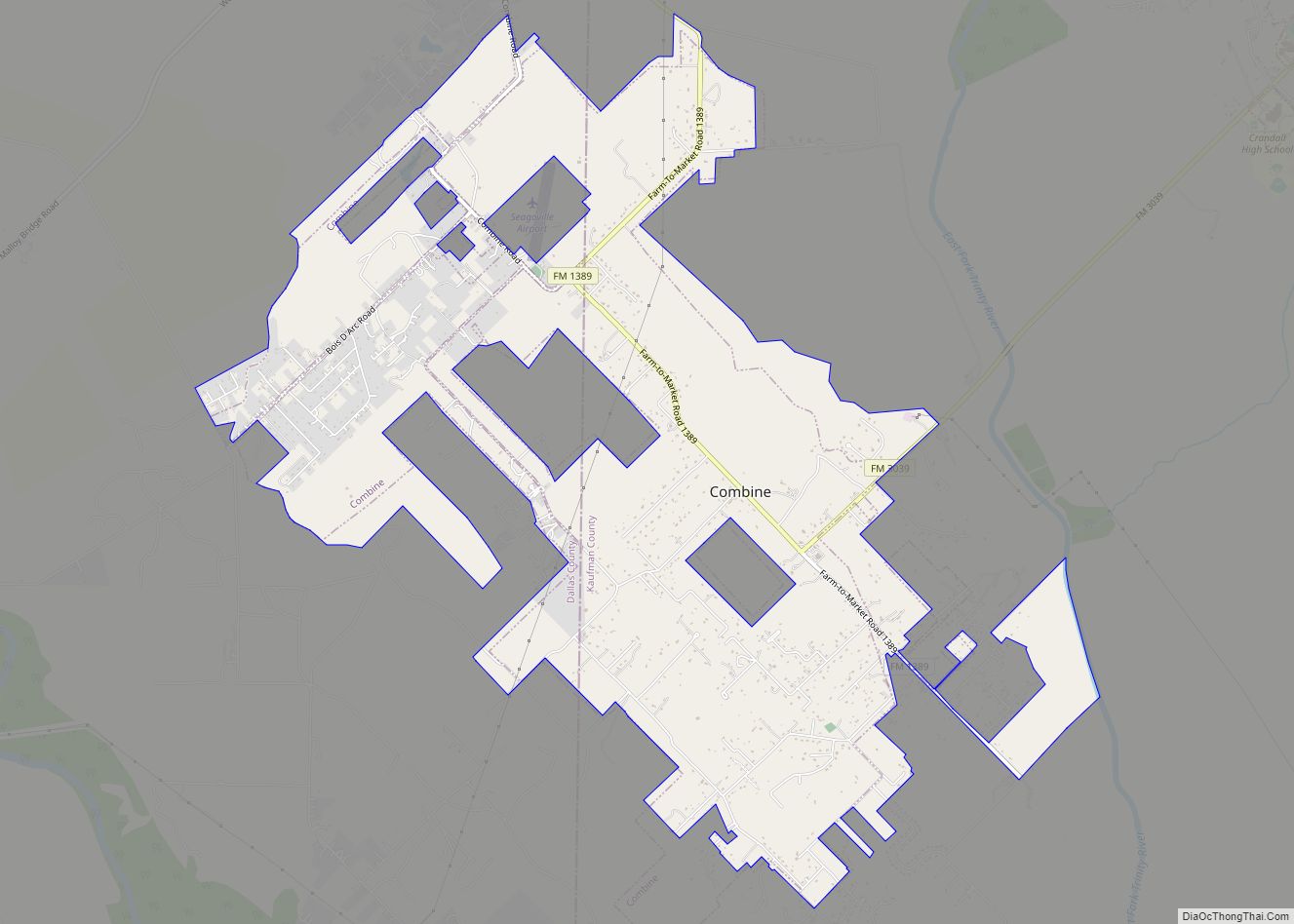
Combine is a city in Dallas and Kaufman counties in the U.S. state of Texas. The population was 2,245 in 2020. Combine city overview: Name: Combine city LSAD Code: 25 LSAD Description: city (suffix) State: Texas County: Dallas County, Kaufman County Elevation: 413 ft (126 m) Total Area: 7.58 sq mi (19.64 km²) Land Area: 7.28 sq mi (18.85 km²) Water Area: 0.30 sq mi ... Read more
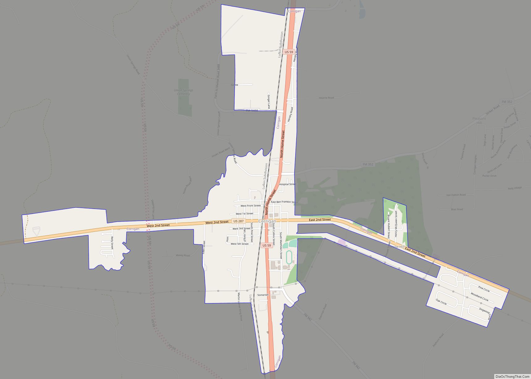
Corrigan is a town in north central Polk County, Texas. It is located along U.S. Highway 59 and is about 100 miles from Houston. Its population was 1,477 in the 2020 census. Corrigan town overview: Name: Corrigan town LSAD Code: 43 LSAD Description: town (suffix) State: Texas County: Polk County Elevation: 236 ft (72 m) Total Area: ... Read more
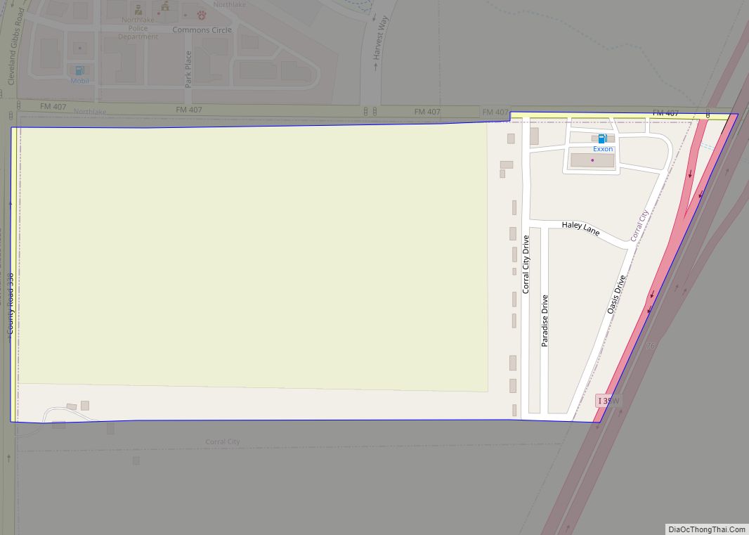
Corral City town overview: Name: Corral City town LSAD Code: 43 LSAD Description: town (suffix) State: Texas County: Denton County FIPS code: 4817024 Online Interactive Map Corral City online map. Source: Basemap layers from Google Map, Open Street Map (OSM), Arcgisonline, Wmflabs. Boundary Data from Database of Global Administrative Areas. Corral City location map. Where ... Read more
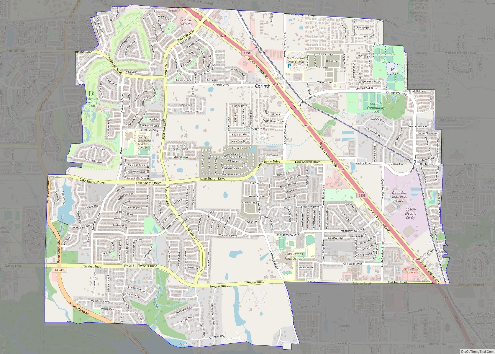
Corinth is a city in Denton County, Texas, United States; it is a part of the Dallas-Fort Worth metroplex. Its population was 22,634 at the 2020 census. Corinth city overview: Name: Corinth city LSAD Code: 25 LSAD Description: city (suffix) State: Texas County: Denton County Elevation: 620 ft (190 m) Total Area: 7.83 sq mi (20.27 km²) Land Area: 7.77 sq mi ... Read more
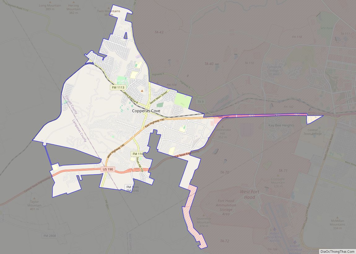
Copperas Cove /ˈkɒpərəs/ is a city located in central Texas at the southern corner of Coryell County with smaller portions in Lampasas and Bell counties. Founded in 1879 as a small ranching and farming community, today the city is the largest in Coryell County, with 32,032 residents as of the 2010 census and an estimated ... Read more
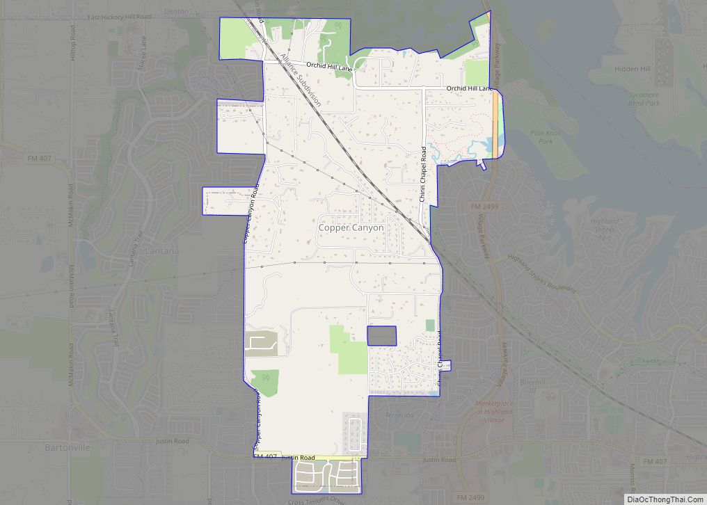
Copper Canyon is a town in Denton County, Texas, United States. The population was 1,731 in 2020. Copper Canyon is adjacent to the master-planned Lantana residential development. Copper Canyon town overview: Name: Copper Canyon town LSAD Code: 43 LSAD Description: town (suffix) State: Texas County: Denton County Elevation: 623 ft (190 m) Total Area: 4.60 sq mi (11.93 km²) Land ... Read more
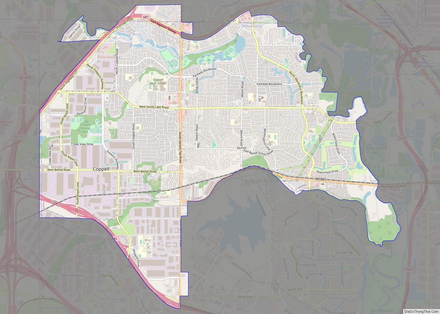
Coppell (/kəˈpɛl/ ca-PEL) is a city in the northwest corner of Dallas County in the U.S. state of Texas. It is a suburb of Dallas and a bedroom community in the Dallas–Fort Worth metroplex. Its population was 42,983 at the 2020 census. A small area in the far northern portion of the city extends into ... Read more
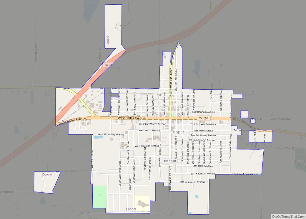
Cooper is a city in and the county seat of Delta County, in the U.S. state of Texas. Located between the north and south forks of the Sulphur River, Cooper is the largest settlement in Delta County. As of the 2020 United States census, the city had a population of 1,911. First inhabited by native ... Read more
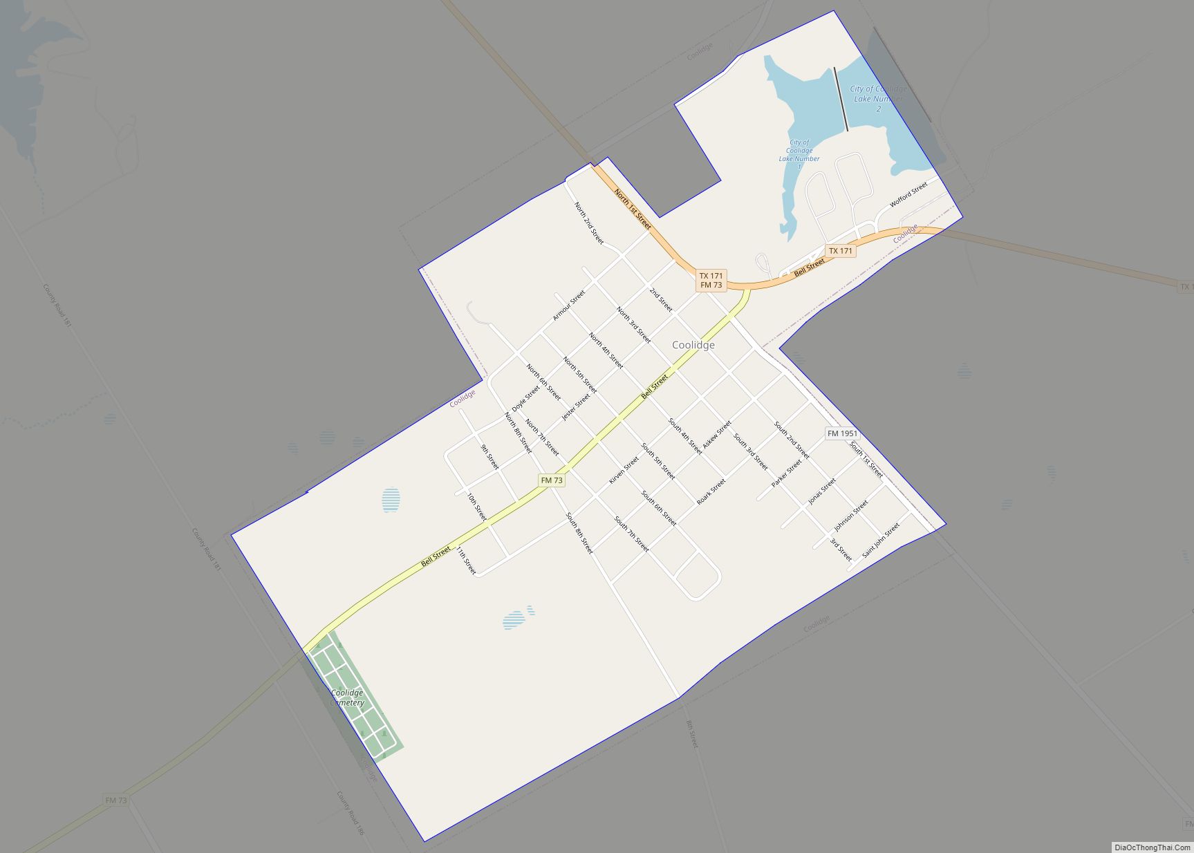
Coolidge is a town in Limestone County, Texas, United States, established in 1903. The population was 778 at the 2020 census. Coolidge town overview: Name: Coolidge town LSAD Code: 43 LSAD Description: town (suffix) State: Texas County: Limestone County Elevation: 535 ft (163 m) Total Area: 0.98 sq mi (2.55 km²) Land Area: 0.95 sq mi (2.46 km²) Water Area: 0.03 sq mi (0.09 km²) Total ... Read more
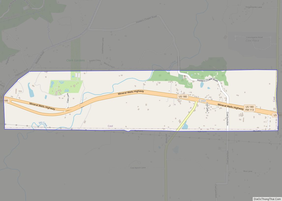
Cool is a town in Parker County, Texas, United States. The population was 157 at the 2010 census. The origin of the name “Cool” is obscure. Cool city overview: Name: Cool city LSAD Code: 25 LSAD Description: city (suffix) State: Texas County: Parker County Elevation: 932 ft (284 m) Total Area: 1.65 sq mi (4.28 km²) Land Area: 1.65 sq mi (4.27 km²) ... Read more
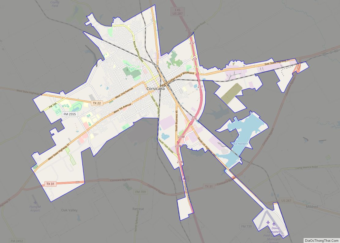
Corsicana is a city in Navarro County, Texas, United States. It is located on Interstate 45, 56 miles northeast of Waco, Texas. Its population was 25,109 at the 2020 census. It is the county seat of Navarro County, and an important agribusiness center. Corsicana city overview: Name: Corsicana city LSAD Code: 25 LSAD Description: city ... Read more
